Items Similar to Primary Triangulation Between the Hudson and St. Croix Rivers

Want more images or videos?
Request additional images or videos from the seller
1 of 7
UnknownPrimary Triangulation Between the Hudson and St. Croix Rivers1881
1881
About the Item
As stated on NOAA.GOV:
The Office of Coast Survey is the oldest U.S. scientific organization, dating from 1807 when President Thomas Jefferson signed “AN ACT TO provide for surveying the coasts of the United States.” While the bill’s objective was specific – to produce nautical charts – it reflected larger issues of concern to the young nation: national boundaries, commerce, and defense.
The new agency experienced some growing pains in the early years. Ferdinand Hassler, who was eventually to become the agency’s first superintendent, went to England to collect scientific instruments and was unable to return through the duration of the War of 1812. After Hassler returned, he started work on a survey of New York Harbor in 1817, but Congress stepped in to suspend the work because of tensions between civilian and military control of the agency. After several years under the control of the U.S. Army, the Survey of the Coast was reestablished in 1832, and President Andrew Jackson appointed Hassler as Superintendent.
In the ensuing years, the young agency tackled additional responsibilities. In addition to conducting hydrographic surveys and producing nautical charts, U.S. Coast Survey conducted the first systematic study of the Gulf Stream, designed tidal predication machines, and established the geodetic connection between the Atlantic and Pacific coasts.
U.S. Coast Survey (known as Coast and Geodetic Survey beginning in 1878) attracted the best and brightest scientists and naturalists. Coast Survey commissioned famed naturalist Louis Agassiz to conduct the first scientific study of the Florida reef system. James McNeill Whistler, who went on to paint the iconic “Whistler’s Mother,” was a Coast Survey engraver. The great naturalist John Muir was a guide and artist on “Survey of the 39th Parallel” across the Great Basin of Nevada and Utah. Alexander Dallas Bache, great-grandson of Benjamin Franklin, was the second Coast Survey Superintendent. Bache was a physicist, scientist, and surveyor who established the first magnetic observatory and served as the first president of the National Academy of Sciences.
The agency’s men and women (Coast Survey hired women professionals as early as 1845) led scientific and engineering activities through the decades. In 1926, they started production of aeronautical charts to meet the requirements of the new air transportation age. During height of the Great Depression, Coast and Geodetic Survey (C&GS) organized surveying parties and field offices that employed over 10,000 people, including many out-of-work engineers.
In World War II, C&GS sent over 1000 civilian members and more than half of its commissioned officers to the military services. They served as hydrographers, artillery surveyors, cartographers, army engineers, intelligence officers, and geophysicists in all theaters of the war. Civilians on the home front produced over 100 million maps and charts for the Allied Forces. Eleven members of the C&GS gave their lives during the war.
President Richard Nixon formed NOAA in 1970, bringing C&GS into the new scientific agency. Today, the Office of Coast Survey continues its traditional commitment to employing the highest levels of science and technology to improve marine safety and to tackle the new challenges of the 21st century.
According to the Dictionary of American History, “the Survey is considered to have been one of the major birthplaces of modern American science, including many disciplines not generally associated with geodesy and hydrology. Its creation is a cornerstone of the rapid growth of science and technology and of the development of natural resources for commercial use in the United States.”
- Creation Year:1881
- Dimensions:Height: 32 in (81.28 cm)Width: 35 in (88.9 cm)
- Medium:
- Movement & Style:
- Period:
- Condition:Crisp image. Framed to museum specifications using archival matting, backing, hinging. Glazed with ultra-violet filtering Plexiglas. Folds reinforced en verso. Toning to creases. Full margins.
- Gallery Location:Florham Park, NJ
- Reference Number:
About the Seller
5.0
Vetted Seller
These experienced sellers undergo a comprehensive evaluation by our team of in-house experts.
1stDibs seller since 2014
163 sales on 1stDibs
Typical response time: 2 hours
- ShippingRetrieving quote...Ships From: Florham Park, NJ
- Return PolicyA return for this item may be initiated within 1 day of delivery.
More From This SellerView All
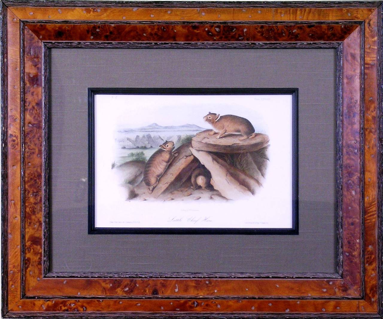
- Little Chief Hare. (Rock Rabbit)By John James AudubonLocated in Florham Park, NJJOHN JAMES AUDUBON John Bachman The Viviparous Quadrupeds of North America Published by V.G. Audubon Lithograph with Original Hand-Coloring New York 1854. Royal Octavo Edition ...Category
Mid-19th Century Academic Prints and Multiples
MaterialsWatercolor, Lithograph
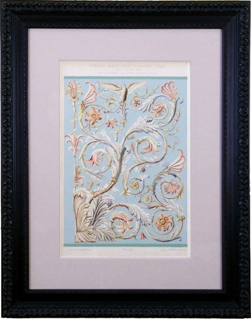
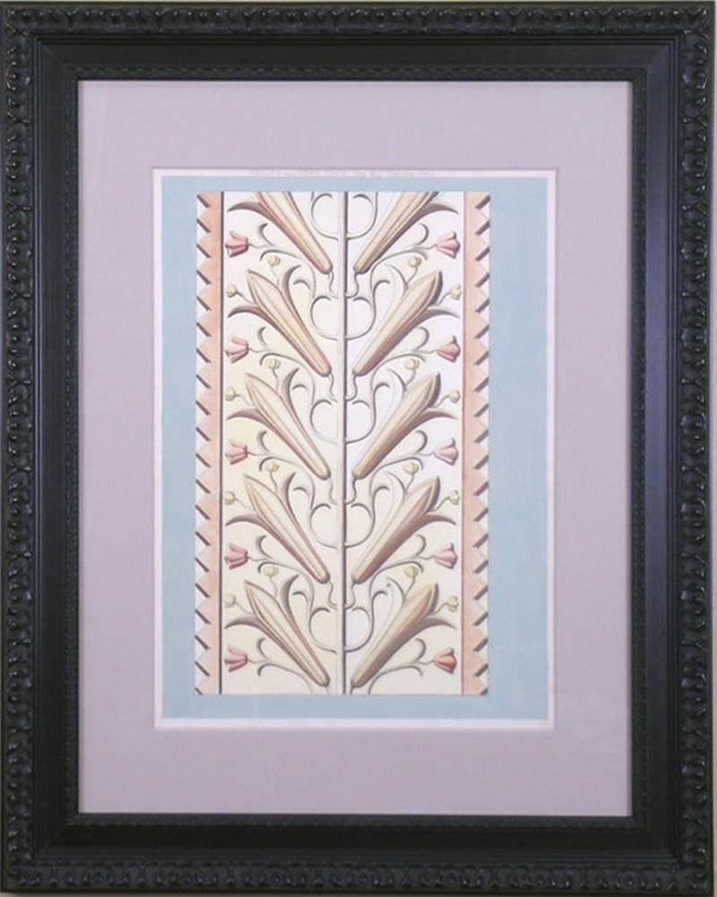
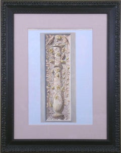
- Sima V.By Martin GropiusLocated in Florham Park, NJARCHIV FUR ORNAMENTALE KUNST. M. Gropius, L. Lohde, P. Lehfeldt. Lithographs with Later Hand-Color. Berlin, 1870. 13” x 19” Unframed. A fine German work, the illustrations a...Category
Late 19th Century Academic Prints and Multiples
MaterialsWatercolor, Lithograph
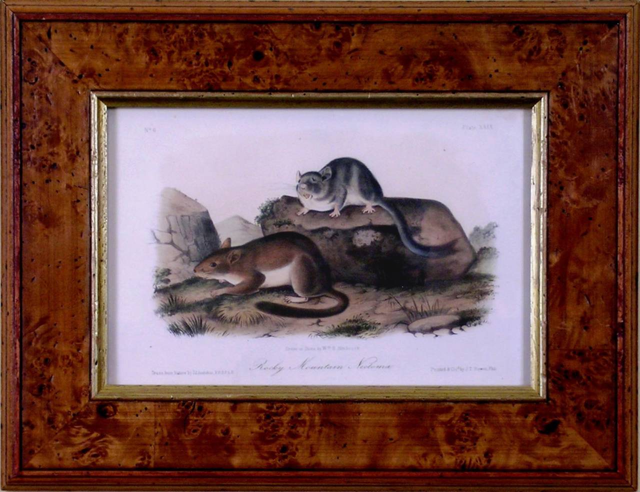
- Rocky Mountain Neotoma. (Pack Rat)By John James AudubonLocated in Florham Park, NJJOHN JAMES AUDUBON John Bachman The Viviparous Quadrupeds of North America Published by V.G. Audubon Lithograph with Original Hand-Coloring New York 1854. Royal Octavo Edition ...Category
Mid-19th Century Academic Prints and Multiples
MaterialsWatercolor, Lithograph
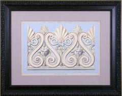
- Romisches MarmorBy Martin GropiusLocated in Florham Park, NJARCHIV FUR ORNAMENTALE KUNST. M. Gropius, L. Lohde, P. Lehfeldt. Lithographs with Later Hand-Color. Berlin, 1870. 13” x 19” Unframed. A fine German work, the illustrations a...Category
Late 19th Century Academic Prints and Multiples
MaterialsWatercolor, Lithograph
- MarmorBy Martin GropiusLocated in Florham Park, NJARCHIV FUR ORNAMENTALE KUNST. M. Gropius, L. Lohde, P. Lehfeldt. Lithographs with Later Hand-Color. Berlin, 1870. 13” x 19” Unframed. A fine German work, the illustrations a...Category
Late 19th Century Academic Prints and Multiples
MaterialsWatercolor, Lithograph
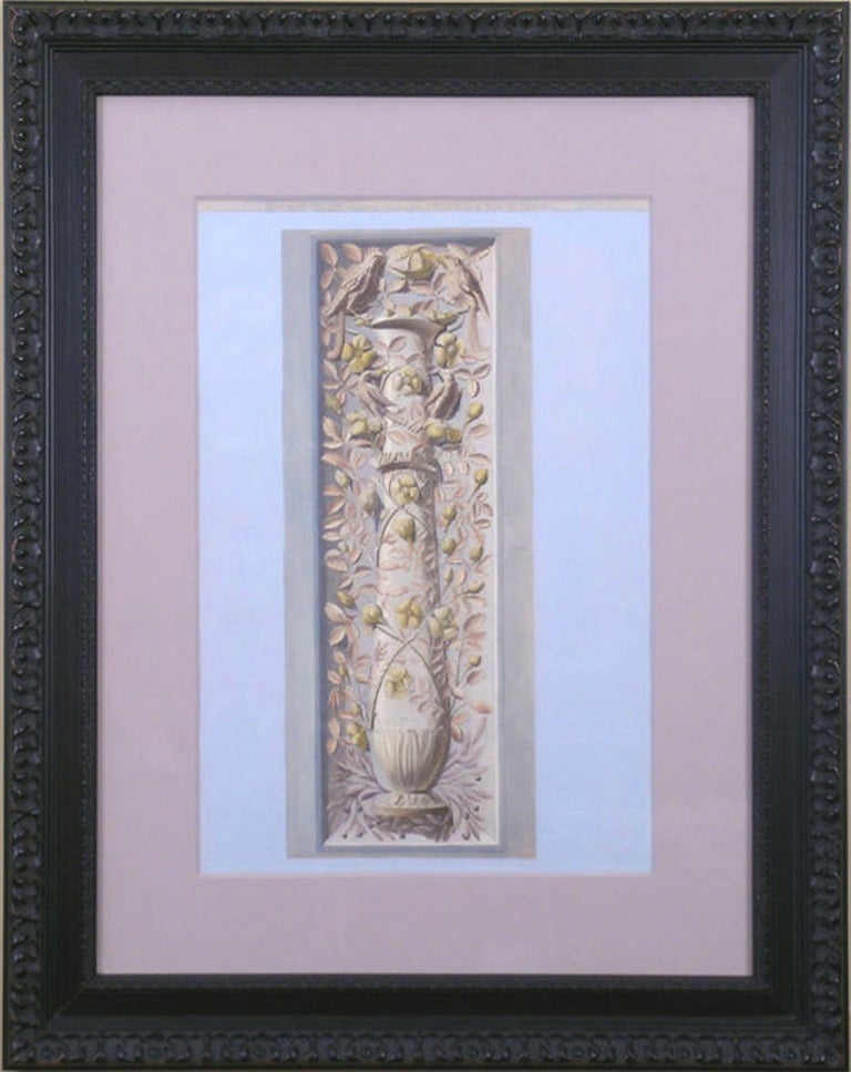
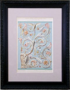
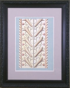
- Relief von Gerb ThonBy Martin GropiusLocated in Florham Park, NJARCHIV FUR ORNAMENTALE KUNST. M. Gropius, L. Lohde, P. Lehfeldt. Lithographs with Later Hand-Color. Berlin, 1870. 13” x 19” Unframed. A fine German work, the illustrations are of classical and neo-classical decorative designs. The acanthus leaf, Greco-Roman busts, mythical animals and ornamental relief show the preferred style of architectural ornament over the centuries and from country to country. A trick of the lithographer was to use the occasional solid ground to give better dimension to the plate. Measuring 19” x 13”, many designs include a scale to show actual size. Only two of the 72 illustrations were printed in full color, another pair in sepia tones, and six in burnt orange and black to show typical Etruscan designs. Several have toned backgrounds. It has been the fashion to apply hand coloring to black and white engravings and lithographs for centuries. The superb condition can be attributed to the individual paper guards placed between each plate. Many of the pieces illustrated are in museums; i.e. a Greek painted portrait medallion is preserved in the Classical Museum in Vienna (Plate 35) and the carved stone pedestal supports for a Roman table...Category
Late 19th Century Academic Prints and Multiples
MaterialsWatercolor, Lithograph


You May Also Like
- Greek Architecture Blueprint of Ancient Amphitheatre Cyanotype Print, WatercolorBy Kind of CyanLocated in Barcelona, ESThis is an exclusive handprinted limited edition cyanotype. Details: + Title: Ancient Roman Amphitheater + Year: 2022 + Edition Size: 50 + Stamped and Certificate of Authenticity provided + Measurements : 70x100 cm (28x 40 in.), a standard frame size + All cyanotype prints...Category
2010s Academic Still-life Photography
MaterialsPhotographic Film, Woodcut, Emulsion, Watercolor, C Print, Color, Lithog...
- Venice, View of the Grand Canal - Original etching and watercolor, 1831By Dionisio MorettiLocated in Paris, FRDionisio MORETTI View of the Grand Canal, 1831 Original etching Finely enhanced by hand with watercolor On vellum 26 x 41 cm (c. 10.2 x 16 inch) ...Category
1830s Academic Landscape Prints
MaterialsEtching, Watercolor
- Venice, Santa Chiara Island - Original etching and watercolor, 1831By Dionisio MorettiLocated in Paris, FRDionisio MORETTI Venice, Santa Chiara Island, 1831 Original etching Finely enhanced by hand with watercolor On vellum 26 x 41 cm (c. 10.2 x 16 inc...Category
1830s Academic Landscape Prints
MaterialsEtching, Watercolor
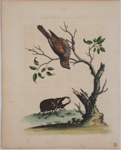
- Bird and Beetle - Etching and watercolor (Natural History of Birds, 1741)By George EdwardsLocated in Paris, FRGeorge EDWARDS Bird and beetle ('The Gowry Bird') Original engraving, enhanced with watercolor Printed signature in the plate Dated, 1741 28.8 x 23.3 cm Created for Volume I of the...Category
1740s Academic Animal Prints
MaterialsWatercolor, Engraving
- Venice, Rialto Bridge - Original etching and watercolor, 1831By Dionisio MorettiLocated in Paris, FRDionisio MORETTI Venice, Rialto Bridge, 1831 Original etching Finely enhanced by hand with watercolor On vellum 26 x 41 cm (c. 10.2 x 16 inch) Ve...Category
1830s Academic Landscape Prints
MaterialsEtching, Watercolor
- Overlooking Wadi, Saudi Arabia - Signed Lithograph, Royal Art, Mountains, AsirLocated in Knowle Lane, CranleighOverlooking Wadi, Asir Province, Kingdom Of Saudi Arabia by His Majesty King Charles III, (created when he was HRH The Prince of Wales) - ...Category
Early 2000s Academic Landscape Prints
MaterialsLithograph

Recently Viewed
View AllMore Ways To Browse
Antique Survey
Antique Surveying
Map Of The Pacific
Antique And Artillery
Scientific Antiques
Watercolor Utah
Antique Surveyor
Antique Surveyors
Whistler Lithograph
Bill Alexander
Nautical Maps
Nautical Chart Nautical Chart
Florida Antiques
Antique Nautical Sign
Antique Nautical Signs
Used Nautical Charts
Florida Map
Benjamin Franklin