Items Similar to Antique Map of Java in 4 sheets by Dornseiffen, 1884


Want more images or videos?
Request additional images or videos from the seller
1 of 5
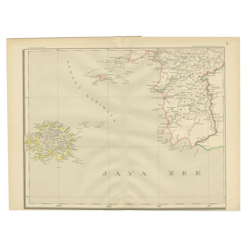
Antique Map of Java in 4 sheets by Dornseiffen, 1884
About the Item
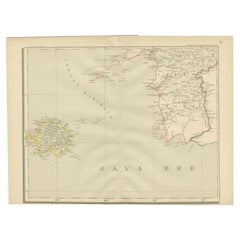
Detailed map of Java in 4 sheets, with an inset map of Batavia (Jakarta). This map originates from 'Atlas van Nederlandsch Oost- en West-Indie' by Dr. I. Dornseiffen. Published by Seyffardt's Boekhandel, Amsterdam.
- Dimensions:Height: 19.3 in (49 cm)Width: 15.36 in (39 cm)Depth: 0.02 in (0.5 mm)
- Materials and Techniques:
- Period:
- Date of Manufacture:1884
- Condition:Wear consistent with age and use. General age-related toning, please study images carefully. Provided measurements are for each individual sheet.
- Seller Location:Langweer, NL
- Reference Number:
About the Seller
5.0
Platinum Seller
These expertly vetted sellers are 1stDibs' most experienced sellers and are rated highest by our customers.
Established in 2009
1stDibs seller since 2017
1,970 sales on 1stDibs
Typical response time: <1 hour
- ShippingRetrieving quote...Ships From: Langweer, Netherlands
- Return PolicyA return for this item may be initiated within 14 days of delivery.
More From This SellerView All
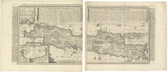
- Antique Map of the Java Sea by Dornseiffen, 1900Located in Langweer, NLAntique map of the Java Sea. Also depicts Bilitung, the Karimata Islands and Sukadana, Borneo. This map originates from 'Atlas van Nederlandsch Oost- en West-Indië' by I. Dornseiffen...Category
20th Century Maps
MaterialsPaper
- Antique Map of Java by Janssonius, circa 1650Located in Langweer, NLAntique map titled 'Insulae Iavae cum parte insularum Borneo Sumatrae, et circumjacentium insularum novissima delineatio'. Beautiful map of Java and parts of Bali, Borneo, Sumatra an...Category
Antique Mid-17th Century Maps
MaterialsPaper
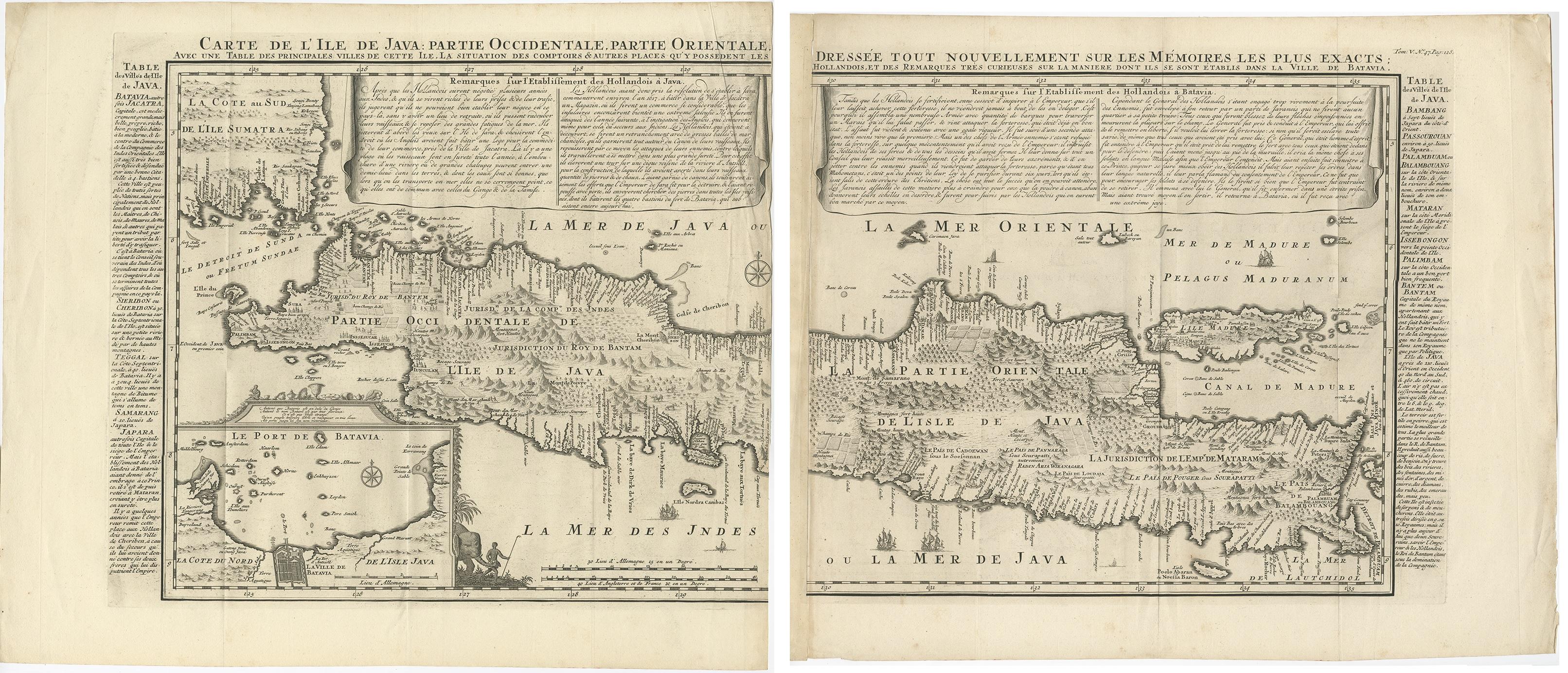
- Antique Map of Java 'Indonesia' by Chatelain, 1719Located in Langweer, NLAntique map titled 'Carte de l'Ile de Java: Partie Occidentale, Partie Orientale, Dressee tout Nouvellement Sur Les Memoires Les Plus Exacts (..)'. This beautiful map of Java exists ...Category
Antique Early 18th Century Maps
MaterialsPaper
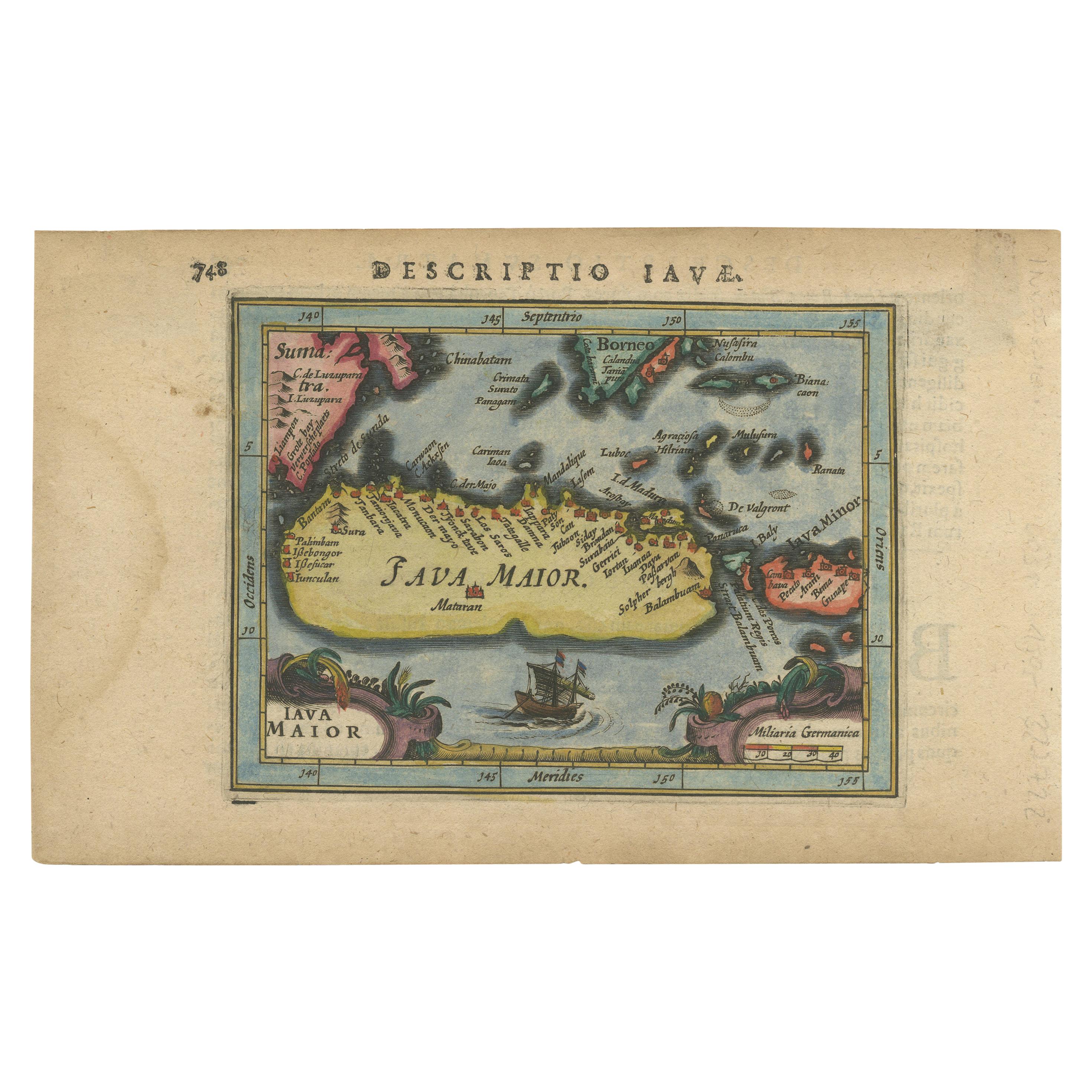
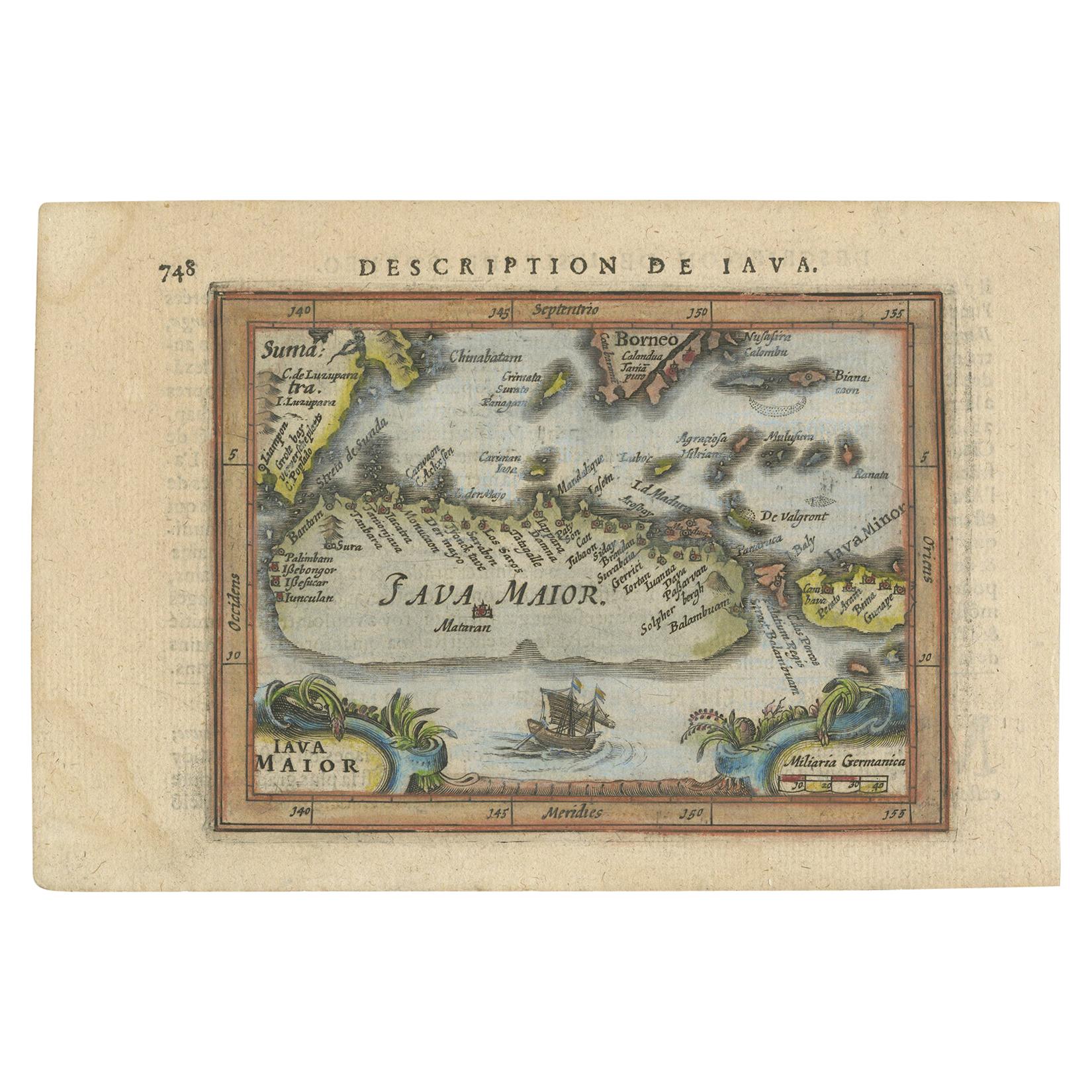
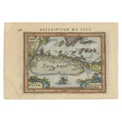
- Antique Miniature Map of Java by Bertius '1618'Located in Langweer, NLAntique miniature map titled 'Iava Maior'. Rare miniature map of Java, Indonesia. This map originates from 'Tabularum Geographicarum Contractarum Libri s...Category
Antique Early 17th Century Maps
MaterialsPaper
- Antique Miniature Map of Java by Bertius/Hondius '1618'Located in Langweer, NLRare antique miniature map titled 'Iava Maior'. This map shows the northern coastline of Java (Indonesia) with numerous place names, but the southern coa...Category
Antique Early 17th Century Maps
MaterialsPaper
- Antique French Map of Java, Indonesia by Chatelain, '1719'Located in Langweer, NLAntique map titled 'Carte de l'Ile de Java: Partie Occidentale, Partie Orientale, Dressee tout Nouvellement Sur Les Memoires Les Plus Exacts (..)'. This beautiful map of Java (Indone...Category
Antique Early 18th Century Maps
MaterialsPaper


You May Also Like
- Antique Map of Italy by Andriveau-Goujon, 1843By Andriveau-GoujonLocated in New York, NYAntique Map of Italy by Andriveau-Goujon, 1843. Map of Italy in two parts by Andriveau-Goujon for the Library of Prince Carini at Palazzo Carini i...Category
Antique 1840s French Maps
MaterialsLinen, Paper
- Antique Map of Principality of MonacoBy Antonio Vallardi EditoreLocated in Alessandria, PiemonteST/619 - "Old Geographical Atlas of Italy - Topographic map of ex-Principality of Monaco" - ediz Vallardi - Milano - A somewhat special edition ---Category
Antique Late 19th Century Italian Other Prints
MaterialsPaper
- Original Antique Map of Scotland by Becker. C.1850Located in St Annes, LancashireGreat map of Scotland Engraved by F.P Becker Published by Virtue, C.1850 Unframed.Category
Antique 1850s Scottish Other Maps
MaterialsPaper
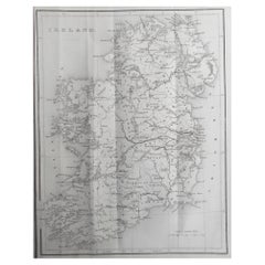
- Original Antique Map of Ireland by Hughes. C.1850Located in St Annes, LancashireGreat map of Ireland Engraved by W.Hughes Published by Virtue, C.1850 Unframed.Category
Antique 1850s Scottish Other Maps
MaterialsPaper
- Original Antique Map of China by Thomas Clerk, 1817Located in St Annes, LancashireGreat map of China Copper-plate engraving Drawn and engraved by Thomas Clerk, Edinburgh. Published by Mackenzie And Dent, 1817 Unframed.Category
Antique 1810s English Maps
MaterialsPaper
- Original Antique Map of Belgium by Tallis, Circa 1850Located in St Annes, LancashireGreat map of Belgium Steel engraving Many lovely vignettes Published by London Printing & Publishing Co. ( Formerly Tallis ), C.1850 Origin...Category
Antique 1850s English Maps
MaterialsPaper


Recently Viewed
View AllMore Ways To Browse
Antique Maps Amsterdam
Java Map
Amsterdam Batavia
Buy Antique Paper
Map Of Itsly
World Atlas
Antique Maps 18th Century
Antique Old Maps
Used World Atlas
Antique German Collectibles
Antique French Maps
Antique Map France
Antique Maps France
Antique Map Of France
Antique Maps Of France
Antique Curiosities Prints
Collectible Fair
Dutch Map