Items Similar to Antique Map of New South Wales in Australia, ca. 1850


Want more images or videos?
Request additional images or videos from the seller
1 of 7
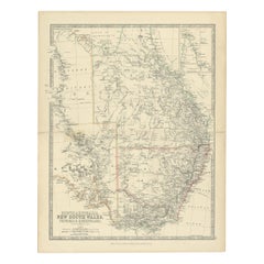
Antique Map of New South Wales in Australia, ca. 1850
About the Item
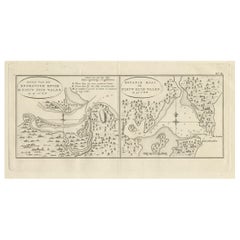
Antique map of Victoria, or Port Phillip (12.7 x 10.0") in Australia. Superb map of Victoria roughly centered on Melbourne. Vignettes of Aborigines, a kangaroo, and a large view of Melbourne across the water with a sailing ship and two early steam ships maneuvering in the foreground. Note that this item is available for sale with free shipping worldwide.
Creator: Tallis, John
Date: 1850 (circa)
Color: Hand Color
Source: Illustrated Atlas and Modern History of the World.
- Dimensions:Height: 13.4 in (34.04 cm)Width: 9.8 in (24.9 cm)Depth: 0.002 in (0.06 mm)
- Materials and Techniques:
- Place of Origin:
- Period:
- Date of Manufacture:1850
- Condition:Very good. Please study image carefully or aks for more detailed photos.
- Seller Location:Langweer, NL
- Reference Number:
About the Seller
5.0
Platinum Seller
These expertly vetted sellers are 1stDibs' most experienced sellers and are rated highest by our customers.
Established in 2009
1stDibs seller since 2017
1,959 sales on 1stDibs
Typical response time: <1 hour
- ShippingRetrieving quote...Ships From: Langweer, Netherlands
- Return PolicyA return for this item may be initiated within 14 days of delivery.
More From This SellerView All
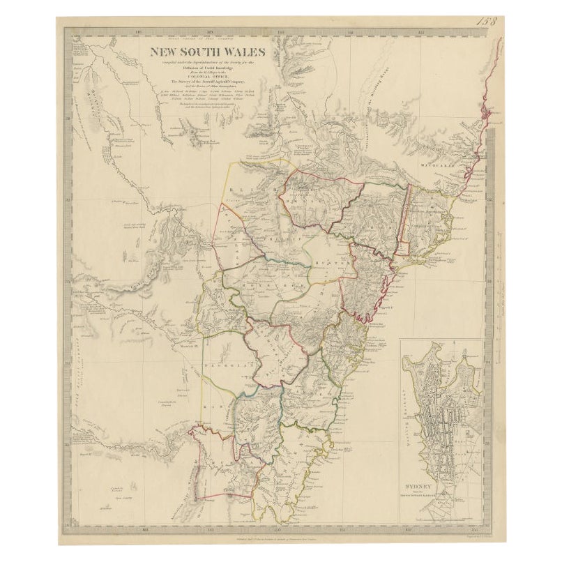
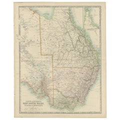
- Antique Map of New South Wales 'Australia' by Wyld '1845'Located in Langweer, NLAntique map titled 'British Settlements in New South Wales'. Original antique map of New South Wales, Australia. This map originates from 'An Atlas of ...Category
Antique Mid-19th Century Maps
MaterialsPaper
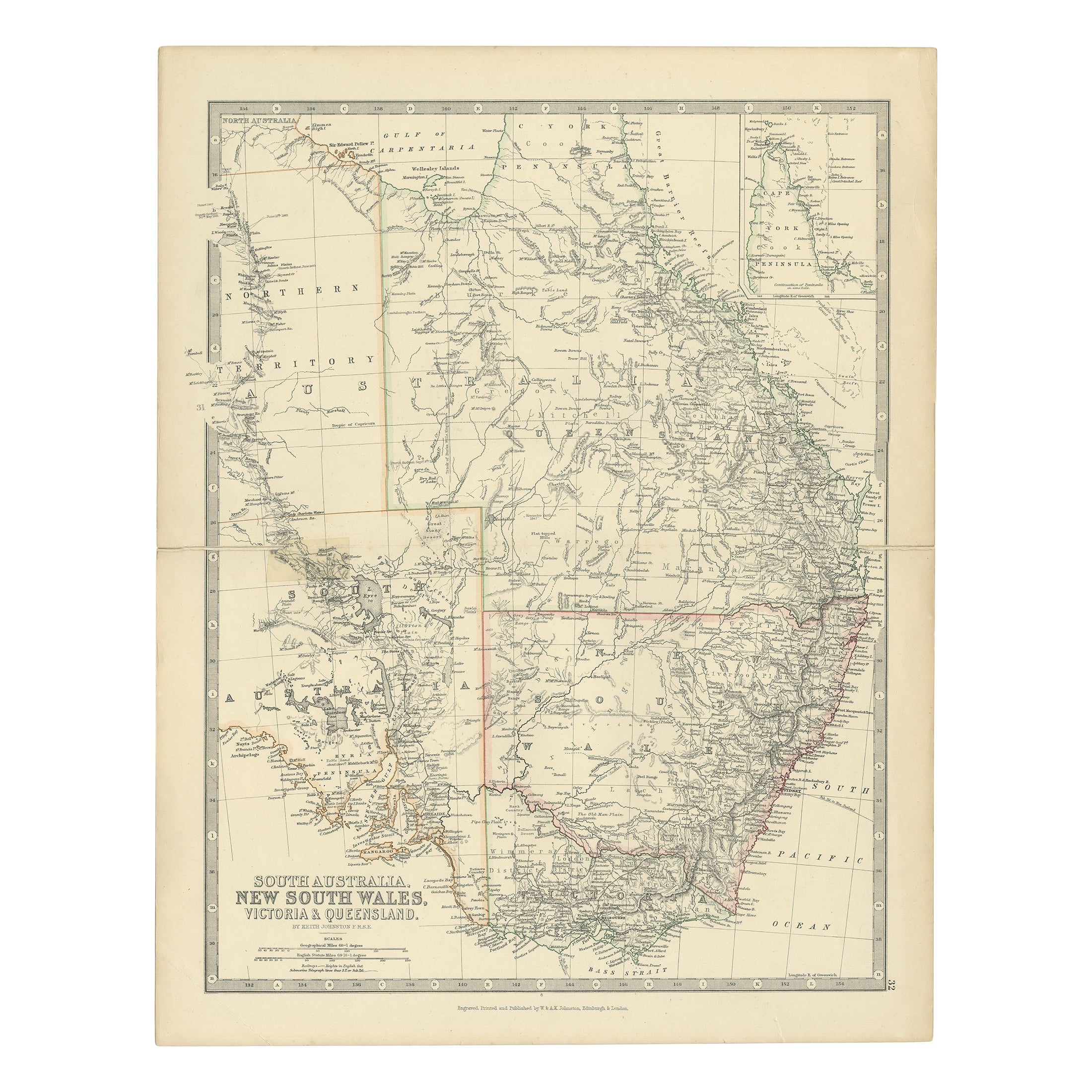
- Antique Map of South Australia, Victoria, Queensland and New South Wales, c.1860Located in Langweer, NLAntique map Australia titled 'South Australia, New South Wales, Victoria & Queensland'. Old map depicting South Australia including New South Wal...Category
Antique 19th Century Maps
MaterialsPaper
- Antique Detailed Map of New South Wales, Queensland & Victoria, Australia, 1865Located in Langweer, NLAntique map Australia titled 'South Australia, New South Wales, Victoria & Queensland'. Old map depicting South Australia including New South Wal...Category
Antique 19th Century Maps
MaterialsPaper
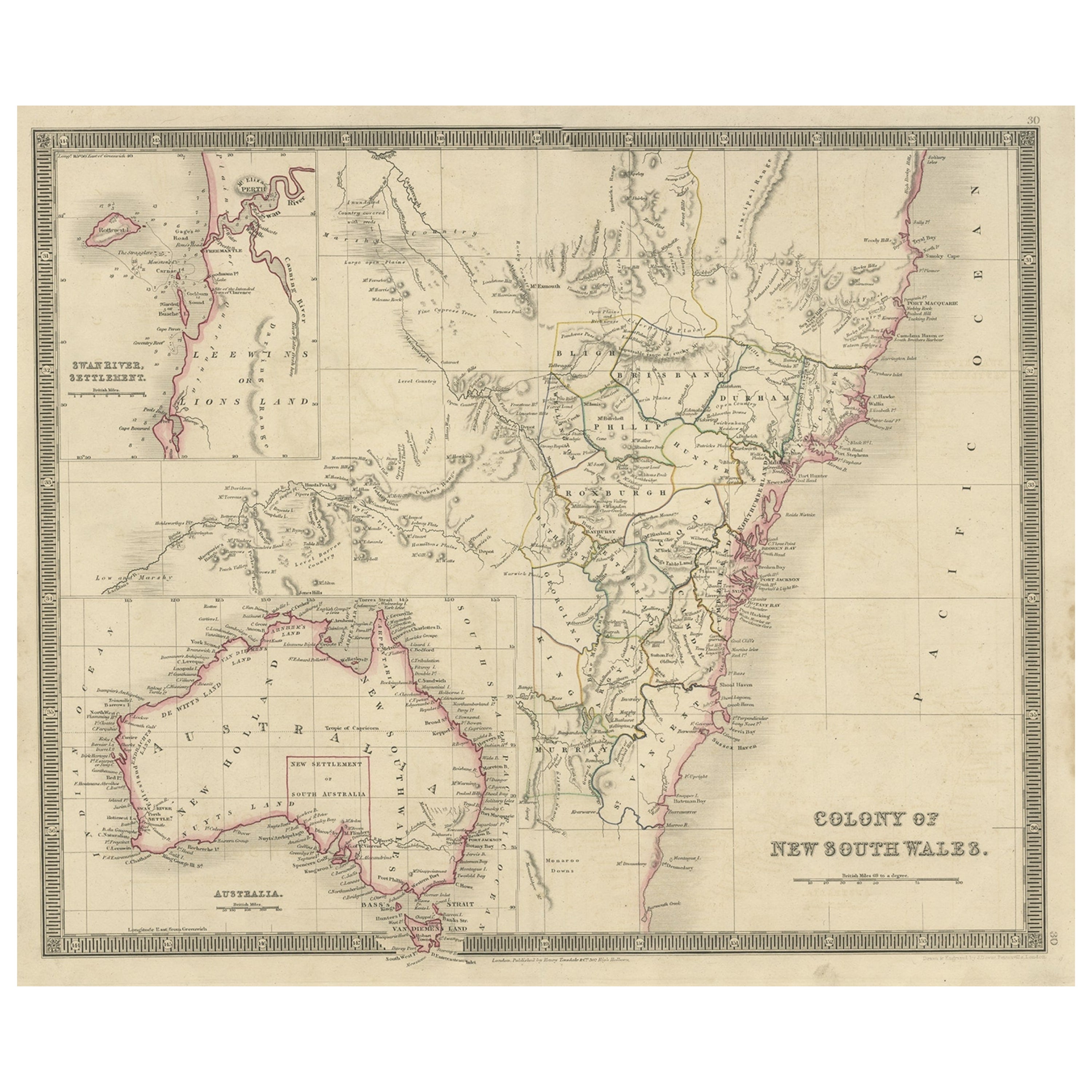
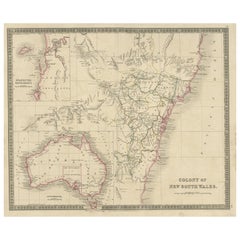
- Antique Map of New South Wales with Inset Maps of Australia and Swan River, 1854Located in Langweer, NLAntique map titled 'Colony of New South Wales'. Map of New South Wales with inset maps of Australia and Swan River. Artists and Engravers: Drawn and engrave...Category
Antique 19th Century Maps
MaterialsPaper
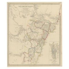
- Antique Map of New South Wales with an Inset of Sydney, Australia, 1833Located in Langweer, NLAntique map of Australia titled 'New South Wales'. Old map of New South Wales, Australia. With an inset map of Sydney. Arists and Engravers: Engraved by J. & C. Walker. Published by ...Category
Antique 19th Century Maps
MaterialsPaper
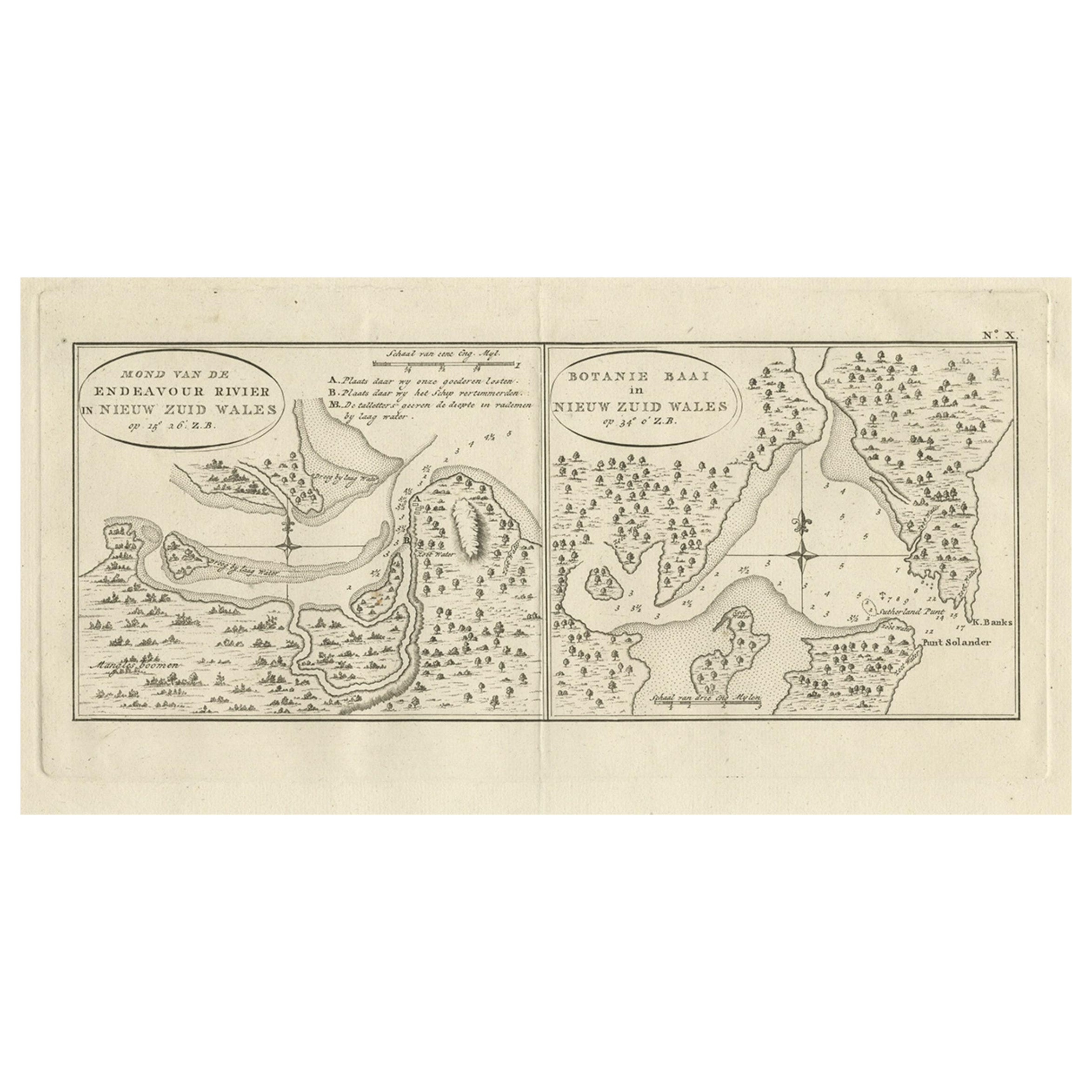
- Antique Map of Endeavour River and Botany Bay, New South Wales, Australia, 1803Located in Langweer, NLAntique map Australia titled 'Mond van de Endeavour Rivier in Nieuw Zuid Wales' and 'Botanie Baai in Nieuw Zuid Wales'. Antique map of the Endeav...Category
Antique 19th Century Maps
MaterialsPaper

You May Also Like
- Original Antique Map of South America. C.1780Located in St Annes, LancashireGreat map of South America Copper-plate engraving Published C.1780 Two small worm holes to left side of map Unframed.Category
Antique Early 1800s English Georgian Maps
MaterialsPaper
- Original Antique Map of South Africa, Arrowsmith, 1820Located in St Annes, LancashireGreat map of South Africa. Drawn under the direction of Arrowsmith. Copper-plate engraving. Published by Longman, Hurst, Rees, Orme and Br...Category
Antique 1820s English Maps
MaterialsPaper
- Original Antique Map of South America, circa 1830Located in St Annes, LancashireGreat map of South America Copper plate engraving Published by Butterworth, Livesey & Co., circa 1830 Unframed.Category
Antique Early 1800s English Other Maps
MaterialsPaper
- Original Antique Map of Belgium by Tallis, Circa 1850Located in St Annes, LancashireGreat map of Belgium Steel engraving Many lovely vignettes Published by London Printing & Publishing Co. ( Formerly Tallis ), C.1850 Origin...Category
Antique 1850s English Maps
MaterialsPaper
- Original Antique Map of South East Asia, Arrowsmith, 1820Located in St Annes, LancashireGreat map of South East Asia Drawn under the direction of Arrowsmith Copper-plate engraving Published by Longman, Hurst, Rees, Orme and Brown, 1820 Unframed.Category
Antique 1820s English Maps
MaterialsPaper
- Original Antique Map / City Plan of Brussels by Tallis, circa 1850Located in St Annes, LancashireGreat map of Brussels. Steel engraving. Published by London Printing & Publishing Co. (Formerly Tallis), C.1850 Free shipping.Category
Antique 1850s English Maps
MaterialsPaper


Recently Viewed
View AllMore Ways To Browse
Modern History
In Australia
Wales And Wales Furniture
Antique Furniture Wales
Australia Antique Furniture
Australian Antique Furniture
Antique Furniture In Australia
Antique Sailing Ship
19th Century Australian Furniture
Antique World Map Large
Large Antique World Maps
Steam Ship
Used Furniture In Melbourne
Antique Collectables Australia
Antique Furniture South Australia
Antique Australia Map
Antique Australian Map
Antique Australian Maps