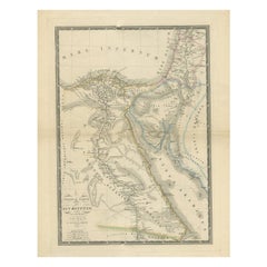
Items Similar to Antique Map of The Nile, Egypt and the Red Sea by Bachiene, 1765

Want more images or videos?
Request additional images or videos from the seller
1 of 5
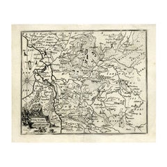
Antique Map of The Nile, Egypt and the Red Sea by Bachiene, 1765
About the Item
Antique map titled 'De XIde Landkaart verbeeldende Egypte en de Woestyne der Schelf-Zee (..).' Map of Biblical Egypt and the Red Sea. With title cartouche, compass rose and scale. This map originates from 'Heilige Geographie of aardrykskundige beschrijving van alle de landen, enz., in de H.S. voorkomende. Behelzende eene beschryving des Joodschen Lands eertyds Kanaan' by W.A. Bachiene.
Artists and Engravers: Published by A. van Paddenburg.
Condition: Fair, given age. Slight discolouration of middle fold. A few brown spots. Original middle fold as issued. General age-related toning and/or occasional minor defects from handling. Please study image carefully.
Date: 1765
Overall size: 38.7 x 48.6 cm.
Image size: 33.5 x 42 cm.
We sell original antique maps to collectors, historians, educators and interior decorators all over the world. Our collection includes a wide range of authentic antique maps from the 16th to the 20th centuries. Buying and collecting antique maps is a tradition that goes back hundreds of years. Antique maps have proved a richly rewarding investment over the past decade, thanks to a growing appreciation of their unique historical appeal. Today the decorative qualities of antique maps are widely recognized by interior designers who appreciate their beauty and design flexibility. Depending on the individual map, presentation, and context, a rare or antique map can be modern, traditional, abstract, figurative, serious or whimsical. We offer a wide range of authentic antique maps for any budget.
- Dimensions:Height: 19.14 in (48.6 cm)Width: 15.24 in (38.7 cm)Depth: 0 in (0.01 mm)
- Materials and Techniques:
- Period:
- Date of Manufacture:1765
- Condition:
- Seller Location:Langweer, NL
- Reference Number:
About the Seller
5.0
Platinum Seller
These expertly vetted sellers are 1stDibs' most experienced sellers and are rated highest by our customers.
Established in 2009
1stDibs seller since 2017
1,965 sales on 1stDibs
Typical response time: <1 hour
- ShippingRetrieving quote...Ships From: Langweer, Netherlands
- Return PolicyA return for this item may be initiated within 14 days of delivery.
More From This SellerView All
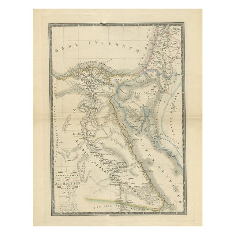
- Antique Map of Ancient Egypt Also Depicting the Nile River and Red Sea, 1845Located in Langweer, NLAntique map Egypt titled 'General Karte von Alt Aegypten von A.H. Brué'. Large map of Egypt also depicting the Nile river and Red Sea. Source unknown...Category
Antique 19th Century Maps
MaterialsPaper
- Antique Map of Egypt and the Nile RiverLocated in Langweer, NLAntique map titled 'Egypten nach dem Zustand der alten Zeit vorgestellt'. This uncommon and richly detailed map of Egypt features hundreds of place names along the Nile. The Sinai Pe...Category
Antique Mid-18th Century Maps
MaterialsPaper
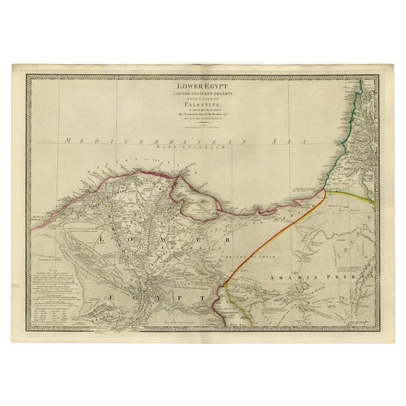
- Large Antique Map of Egypt and the Nile Delta by Wyld, 1854Located in Langweer, NLAntique map titled 'Lower Egypt and the adjacent desert, with a part of Palestine to which has been addes the nomenclature of the Roman age by L.S. de la Rochette'. Map of Egypt and ...Category
Antique 19th Century Maps
MaterialsPaper
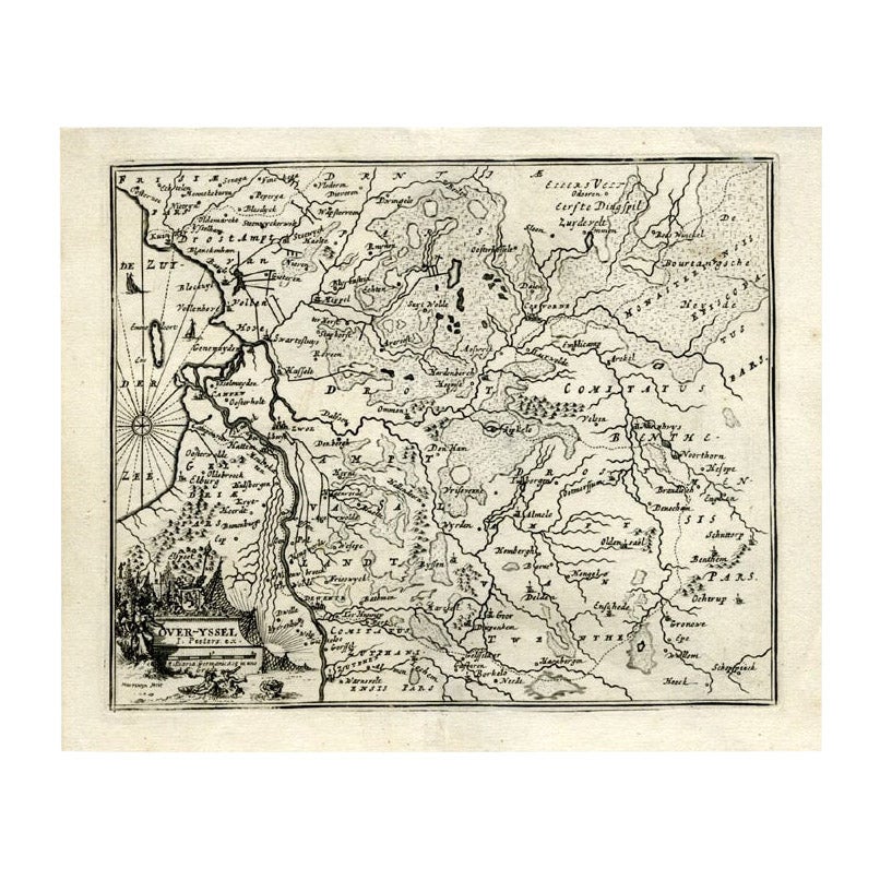
- Antique Map of Overijssel by Bachiene, 1758Located in Langweer, NLAntique map titled 'Over-Yssel'. Map of the Overijssel, the Netherlands. This map originates from 'Kort begrip der Oude en Nieuwe Staatkundige Geographie', by W.A. Bachiene, publishe...Category
Antique 18th Century Maps
MaterialsPaper
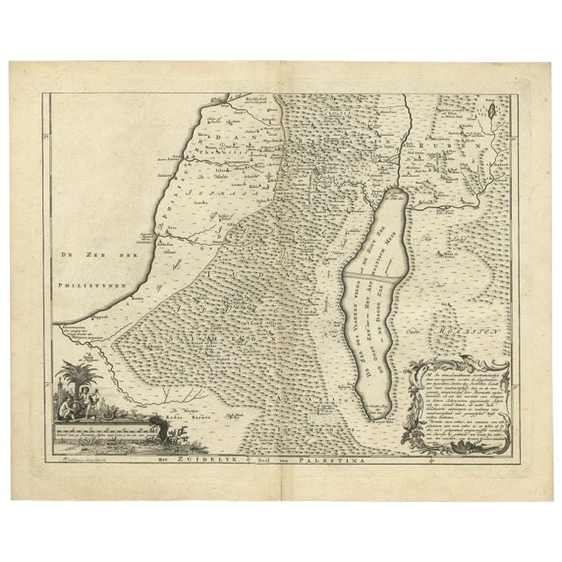
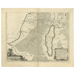
- Antique Map of Southern Palestine by Bachiene, 1763Located in Langweer, NL"Antique map of the south part of Palestine. This simplified map shows the most important cities of the Jewish Land. Source unknown, to be determined. Artists and Engravers: Made by ...Category
Antique 18th Century Maps
MaterialsPaper
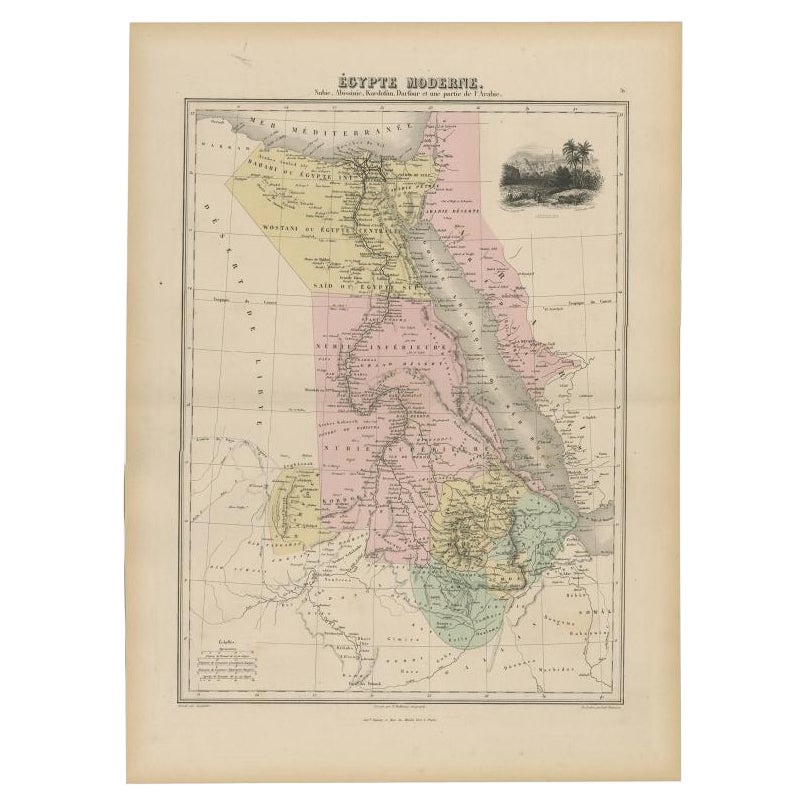
- Antique Map of The Nile, Egypt, Nubia and Abyssinia and Inset of Jerusalem, 1880Located in Langweer, NLAntique map titled 'Égypte Moderne'. Old map of Egypt, Nubia and Abyssinia (Ethiopia), Kordofan and Darfour (parts of Sudan), as well as part of Arabia. With decorative vignette of J...Category
Antique 19th Century Maps
MaterialsPaper


You May Also Like
- 1861 Topographical Map of the District of Columbia, by Boschke, Antique MapLocated in Colorado Springs, COPresented is an original map of Albert Boschke's extremely sought-after "Topographical Map of the District of Columbia Surveyed in the Years 1856 ...Category
Antique 1860s American Historical Memorabilia
MaterialsPaper
- Emil Ludwig, The Nile, The Life-Story of A RiverLocated in New York, NY1 volume. Illustrated. Bound in 3/4 brown Morocco, cloth boards, top edges gilt, raised bands, gilt spines. Published: New York: The Viking Press, 1937. First Edition. Mea...Category
Vintage 1930s Books
MaterialsLeather
- Red Sea, The Saudi CoastBy Assouline PublishingLocated in NEW YORK, NYBordering the coastlines of eight countries, the Red Sea is a melting pot of civilizations, faiths and hopes. With unique coral reefs and diverse underwater life...Category
2010s American Books
MaterialsLinen
- 1907 Map of Colorado, Antique Topographical Map, by Louis NellLocated in Colorado Springs, COThis highly detailed pocket map is a topographical map of the state of Colorado by Louis Nell from 1907. The map "has been complied from all availabl...Category
Antique Early 1900s American Maps
MaterialsPaper
- Antique Ships Model "Sovereign of the Seas"Located in Norwell, MAAntique ship model of the Donald Mc Kay Clipper Ship "Sovereign of the Seas". Awesome scale model by noted early twentieth century model maker Th...Category
Vintage 1930s American Models and Miniatures
MaterialsWood
- Hand-Colored 18th Century Homann Map of the Black Sea, Turkey and Asia MinorBy Johann Baptist HomannLocated in Alamo, CAAn attractive original early 18th century hand-colored map of the Black Sea and Turkey entitled "Carte de L'Asie Minevre ou de la Natolie et du Pont Evxin Tiree des Voyages et des Ob...Category
Antique Early 18th Century German Maps
MaterialsPaper