Items Similar to Antique Map of the Region of the Arabian Sea


Want more images or videos?
Request additional images or videos from the seller
1 of 6
Antique Map of the Region of the Arabian Sea
About the Item
Antique map titled 'A Chart of the Coast of Persia, Guzarat & Malabar'. Old map centered on the Arabian Sea that shows some of the Persian Gulf and the Gulf of Oman, extending past Persia to include half of India. The map locates the Maldives and many offshore islands and details capes, shoals, bays, and major harbors. The map is decorated with a compass rose with fleur-de-lys at center and a rococo-style title cartouche featuring a fountain, sea-horse, water nymph, and two wind heads. Engraved by G. Child. Published circa 1745.
- Dimensions:Height: 11.03 in (28 cm)Width: 8.39 in (21.3 cm)Depth: 0.02 in (0.5 mm)
- Materials and Techniques:
- Period:
- Date of Manufacture:c.1745
- Condition:General age-related toning. Narrow left margin, with tears sl. affecting image. Some wear and soiling, blank verso. Please study image carefully.
- Seller Location:Langweer, NL
- Reference Number:
About the Seller
5.0
Platinum Seller
These expertly vetted sellers are 1stDibs' most experienced sellers and are rated highest by our customers.
Established in 2009
1stDibs seller since 2017
1,976 sales on 1stDibs
Typical response time: <1 hour
- ShippingRetrieving quote...Ships From: Langweer, Netherlands
- Return PolicyA return for this item may be initiated within 14 days of delivery.
More From This SellerView All
- Original Antique Map of Arabia and the Red SeaLocated in Langweer, NLAntique map titled 'Carte de la Coste d'Arabie (..) - Kaart van de Kust van Arabië (..)'. This is a Dutch version, engraved by J. van Schley, of Bellin's map of Arabia and the Red Se...Category
Antique Mid-18th Century Maps
MaterialsPaper
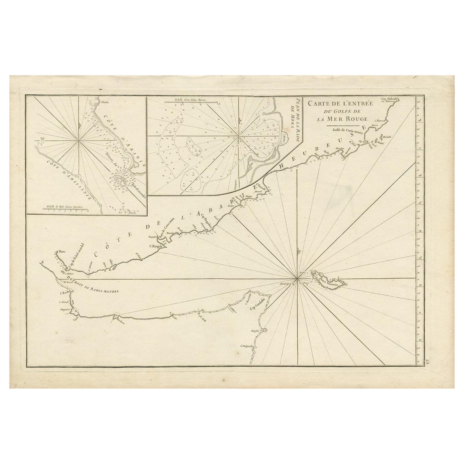
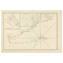
- Original Antique Engraved Map of Part of the Red Sea, Arabia, 1775Located in Langweer, NLAntique map titled 'Carte de l'Entrée du Golfe de la Mer Rouge'. Uncommon sea chart of the entrance to the Red Seas as far as Mocha, with rhumb lines and soundings. Two insets of the...Category
Antique Late 18th Century Maps
MaterialsPaper
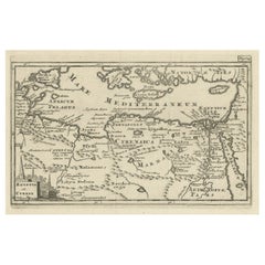
- Original Antique Map of the Region Between the Gulf of Lybia and the Red SeaLocated in Langweer, NLOriginal antique map titled 'Aegyptus et Cyrene'. Detailed ancient map of the region between the Gulf of Lybia and the Red Sea, with marvelous detail along the Mediterranean Coastline and the Nile, Egypt. This map originates from 'Philippi Cluveri Introductionis in universam geographiam (..)' by P. Clüver. Published 1729. Philipp Clüver was an Early Modern German geographer and historian. Cluver's Geography was one of the most enduring works of the 17th & 18th Centuries, issued by several different publishers with many different sets of maps...Category
Antique Early 18th Century Maps
MaterialsPaper
- Antique Map of the Region of Oldenburg, GermanyBy Willem BlaeuLocated in Langweer, NLAntique map titled 'Oldenburg Comitatus'. Detailed old map of Oldenburg, Germany. The map also shows Bremen and the Jade Bight. Published by W. Blaeu, circa 1640. Willem Jansz. Blaeu...Category
Antique Mid-17th Century Maps
MaterialsPaper
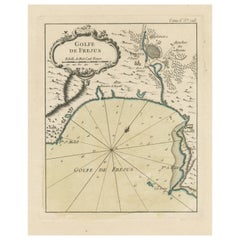
- Antique Map of the Region of Fréjus, FranceLocated in Langweer, NLTitle: "Golf de Fréjus" Description: This antique map, titled "Golf de Fréjus," is an original depiction of the region of Fréjus, France. It is part of the work "Le Petit Atlas Mari...Category
Antique Mid-18th Century Maps
MaterialsPaper
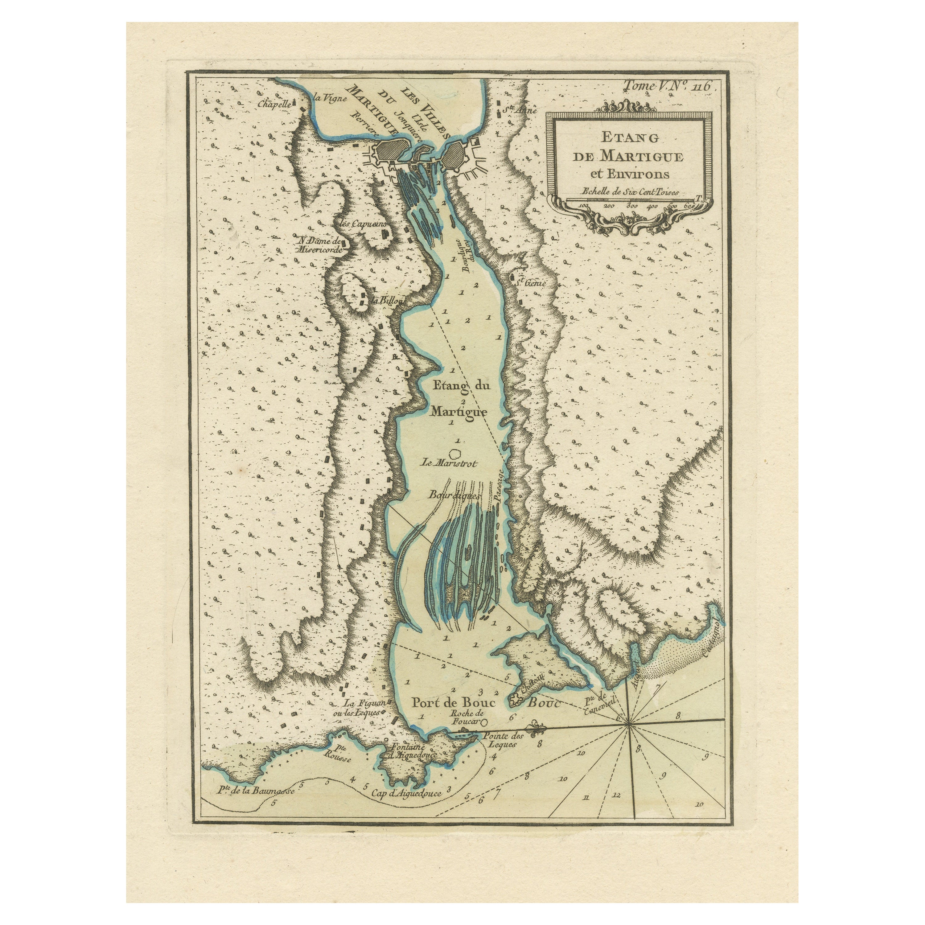
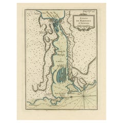
- Antique Map of the Region of Martigues, FranceLocated in Langweer, NLTitle: "Etang de Martigues et Environs: Antique Map of the Martigues Region, France" Description: This antique map, titled "Etang de Martigue et Environs," offers a detailed view of...Category
Antique Mid-18th Century Maps
MaterialsPaper


You May Also Like
- 17th Century Hand Colored Map of the Liege Region in Belgium by VisscherBy Nicolaes Visscher IILocated in Alamo, CAAn original 17th century map entitled "Leodiensis Episcopatus in omnes Subjacentes Provincias distincté divisusVisscher, Leodiensis Episcopatus" by Nicolaes Visscher II, published in Amsterdam in 1688. The map is centered on Liege, Belgium, includes the area between Antwerp, Turnhout, Roermond, Cologne, Trier and Dinant. This attractive map is presented in a cream-colored mat measuring 30" wide x 27.5" high. There is a central fold, as issued. There is minimal spotting in the upper margin and a tiny spot in the right lower margin, which are under the mat. The map is otherwise in excellent condition. The Visscher family were one of the great cartographic families of the 17th century. Begun by Claes Jansz Visscher...Category
Antique Late 17th Century Dutch Maps
MaterialsPaper
- The Normandy Region of France: A 17th C. Hand-colored Map by Sanson and JaillotBy Nicolas SansonLocated in Alamo, CAThis large hand-colored map entitled "Le Duché et Gouvernement de Normandie divisée en Haute et Basse Normandie en divers Pays; et par evêchez, avec le Gouvernement General du Havre ...Category
Antique 1690s French Maps
MaterialsPaper
- Map of the Republic of GenoaLocated in New York, NYFramed antique hand-coloured map of the Republic of Genoa including the duchies of Mantua, Modena, and Parma. Europe, late 18th century. Dimension: 25...Category
Antique Late 18th Century European Maps
- Antique Map of Principality of MonacoBy Antonio Vallardi EditoreLocated in Alessandria, PiemonteST/619 - "Old Geographical Atlas of Italy - Topographic map of ex-Principality of Monaco" - ediz Vallardi - Milano - A somewhat special edition ---Category
Antique Late 19th Century Italian Other Prints
MaterialsPaper
- Original Antique Map of The World by Thomas Clerk, 1817Located in St Annes, LancashireGreat map of The Eastern and Western Hemispheres On 2 sheets Copper-plate engraving Drawn and engraved by Thomas Clerk, Edinburgh. Published by Mackenzie And Dent, 1817 ...Category
Antique 1810s English Maps
MaterialsPaper
- 17th Century Hand-Colored Map of a Region in West Germany by JanssoniusBy Johannes JanssoniusLocated in Alamo, CAThis attractive highly detailed 17th century original hand-colored map is entitled "Archiepiscopatus Maghdeburgensis et Anhaltinus Ducatus cum terris adjacentibus". It was published ...Category
Antique Mid-17th Century Dutch Maps
MaterialsPaper


Recently Viewed
View AllMore Ways To Browse
Antique Center Islands
Horse Antiques Collectables
Fountain Head Antique
Bay Antique Center
Antique Wind Rose
Persian Gulf
India Horse Head
Oman Map
Ipswich Antique Furniture
Antique Compass Made In France
Antique Maps Of Texas
Antique Maps Of Venice Italy
Mississippi Map
Used Office Furniture Cornwall
Yorkshire Map
Antique Alaska Maps
Antique Copper Australia
Antique Iranian Map