Items Similar to Antique Map of South America by Wyld, circa 1850


Want more images or videos?
Request additional images or videos from the seller
1 of 6
Antique Map of South America by Wyld, circa 1850
About the Item
Beautiful folding map of South America titled 'Colombia Prima or South America Drawn from the Large Map in Eight Sheets by Louis Stanislas D ' Arcy Delarochette'. Three insets in the lower portion of the map present data from Humboldt's report in the form of topographical profiles: "Section of the Andes…," "Section of South America from West to East…," and "Section of the Road from La Guayra to Caracas." Also included is a comparative distance table and an index titled "Civil Divisions, Population and Extent" for Colombia, Peru, the United Provinces, Chili, Patagonia, Brazil and Guyanas.
- Creator:J. Wyld (Artist)
- Dimensions:Height: 42.92 in (109 cm)Width: 30.71 in (78 cm)Depth: 0.02 in (0.5 mm)
- Materials and Techniques:
- Place of Origin:
- Period:
- Date of Manufacture:circa 1850
- Condition:Some light wear and age-related toning. Original slipcase included. Please study images carefully.
- Seller Location:Langweer, NL
- Reference Number:Seller: BG-116211stDibs: LU3054313347061
About the Seller
5.0
Platinum Seller
These expertly vetted sellers are 1stDibs' most experienced sellers and are rated highest by our customers.
Established in 2009
1stDibs seller since 2017
1,959 sales on 1stDibs
Typical response time: <1 hour
- ShippingRetrieving quote...Ships From: Langweer, Netherlands
- Return PolicyA return for this item may be initiated within 14 days of delivery.
Auctions on 1stDibs
Our timed auctions are an opportunity to bid on extraordinary design. We do not charge a Buyer's Premium and shipping is facilitated by 1stDibs and/or the seller. Plus, all auction purchases are covered by our comprehensive Buyer Protection. Learn More
More From This SellerView All
- Antique Map of South America by Wyld, '1845'Located in Langweer, NLAntique map titled 'South America'. Original antique map of South America. This map originates from 'An Atlas of the World, Comprehending ...Category
Antique Mid-19th Century Maps
MaterialsPaper
- Antique Map of the Eastern Hemisphere by Wyld, 1842Located in Langweer, NLAntique map titled 'Eastern Hemisphere'. Large map depicting the continents Europe, Asia, Afrika and Australia. Artists and Engravers: James Wyld (1812–1887) was a British geograph...Category
Antique 19th Century Maps
MaterialsPaper
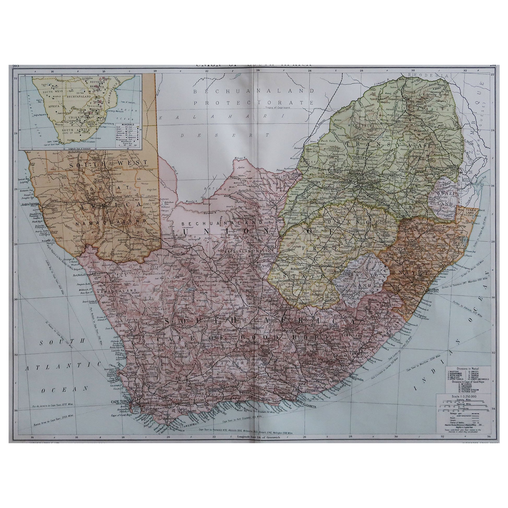
- Antique Map of South Africa by Wyld '1845'Located in Langweer, NLAntique map titled 'South Africa'. Original antique map of South Africa. This decorative original old map originates from 'An Atlas of th...Category
Antique Mid-19th Century Maps
MaterialsPaper
- Antique Map of Coiba Island, Panama, South America, C.1740Located in Langweer, NLAntique map titled 'Plan de la partie orientale de l'Isle de Quibo'. Map of the eastside of Coiba Island (Quibo), Panama, showing the shoreline around Port de Dames indicating soft s...Category
Antique 18th Century Maps
MaterialsPaper
- Antique Map of North America by Dufour 'circa 1834'Located in Langweer, NLAntique map titled 'Amérique Septentrionale'. Uncommon map of North America. Published by or after A.H. Dufour, circa 1834. Source unknown, to be determined.Category
Antique Mid-19th Century Maps
MaterialsPaper
- Antique Map of North America by Wyld '1845'Located in Langweer, NLAntique map titled 'North America'. Original antique map of North America. This map originates from 'An Atlas of the World, Comprehending ...Category
Antique Mid-19th Century Maps
MaterialsPaper


You May Also Like
- Set of 6 Original Vintage Maps of American States, circa 1900Located in St Annes, LancashireWonderful set of 6 vintage maps. Random American states including Maine, Utah, New Hampshire, Nevada, Vermont and New Mexico. Monochrome with red color outline. Published by Rand,...Category
Antique Early 1900s American Edwardian Decorative Art
MaterialsPaper
- London 1744 Published Watercolour Antique Map of East Africa by Eman BowenLocated in GBWe are delighted to offer for sale this New and Accurate Map of Nubia & Abissinia, together with all the Kingdoms Tributary Thereto, and bordering upon them published in 1744 by Emanuel Bowen This is a decorative antique engraved map of East Africa...Category
Antique 1740s English George III Maps
MaterialsPaper
- Fine Antique 1856 Hand Watercolour Map of Dept Des Hautes Alpes by Levasseur'sLocated in GBWe are delighted to offer for sale this stunning 1856 hand watercolour map of the Austrian Alps titled Dept Des Hautes Alpes taken from the Atlas National...Category
Antique 1850s French Early Victorian Maps
MaterialsPaper
- Large Scale Antique Scroll Map of Lincolnshire, England, Dated 1778Located in St Annes, LancashireWonderful scroll map of Lincolnshire By Captain Armstrong, 1778 Copper plate engraving on paper laid on canvas Original ebonized wood frame with lo...Category
Antique 1770s English Georgian Maps
MaterialsWood, Paper
- Large Original Antique Folding Map of Manchester, England, Dated 1793Located in St Annes, LancashireSuperb map of Manchester and Salford Folding map. Printed on paper laid on to the original canvas Unframed. Published by C. Laurent, 1793. ...Category
Antique 1790s English Georgian Maps
MaterialsCanvas, Paper
- Gold Leaf Foil Pictorial Plan Map of the West Country of England Antique StyleLocated in GBWe are delighted to offer for sale this lovely Antique style pictorial plan map of the West Country of England etched in gold leaf foil This is a very interesting and decorative p...Category
20th Century English Adam Style Maps
MaterialsGold Leaf


Recently Viewed
View AllMore Ways To Browse
South American Antique
Mid Century Brazil Antiques
Folding Maps
Large Antique Maps
Beautiful Map
Antique Furniture South East
Antique American Maps
Antique Map Of America
American West Antiques
Map Of South America
Antique Topographic Maps
Map Of United Kingdom
Antique Road Maps
Antique Maps South America
Antique Map Of South America
Antique Map Table
Map Of Brazil
Antique Furniture Peru