Items Similar to Exploring Ancient Persia: Ptolemaic Map of Iran and Iraq by Ptolemy and Mercator

Want more images or videos?
Request additional images or videos from the seller
1 of 7
Exploring Ancient Persia: Ptolemaic Map of Iran and Iraq by Ptolemy and Mercator
About the Item
Claudius Ptolemy was a mathematician, astronomer and geographer who worked in Alexandria, then a part of the Roman Empire, in the 2nd century AD. One of the most learned and influential men of his time, his theories dominated both astronomy and geography for nearly 1500 years. His writings were kept alive by Arabic scholars during the Middle Ages and reemerged in Europe during the Renaissance. The birth of printing led to wide dissemination of his great works on astronomy and geography. There were a number of editions of his Geographia beginning in 1477. These early editions contained maps based on his original writings, known as Ptolemaic maps. As geographic knowledge increased with the explorations of Columbus, Magellan, Cabot and others, maps of the New World were added, and maps of the Old World were revised. Ptolemy's Geographia continued to be revised and published by some of the most important cartographers including Martin Waldseemuller, Sebastian Munster, Giacomo Gastaldi, Jodocus Hondius, and Gerard Mercator (whose last edition was published in 1730).
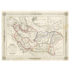
"Asiae V Tab:", Ptolemy/Mercator
Subject: Persia - Iran
Period: 1618 (published)
Publication: Theatrum Geographiae Veteris
Color: Hand Color
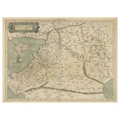
Fine Ptolemaic map depicting much of modern-day Iran, Iraq and part of Armenia. The map stretches from the Persian Gulf to the Caspian Sea and features Babylon (Baghdad), the Tigris and Euphrates Rivers. This is the first state of this map, with the original cartouche, which was re-engraved in 1695. Latin text on verso with an alternate title: Asiae Tabula Quinta.
Mercator originally published this map in his 1578 edition of Ptolemy's great Geography. Although he is most renowned today for the projection he popularized and for first using the term Atlas for a collection of maps, he devoted much of his life to his Ptolemaic maps. The maps were beautifully engraved as nearly as possible to their original form and embellished with fine cartouches.
- Dimensions:Height: 13.71 in (34.8 cm)Width: 18.39 in (46.7 cm)Depth: 0 in (0.02 mm)
- Materials and Techniques:Paper,Engraved
- Period:1610-1619
- Date of Manufacture:1618
- Condition:Repaired: An archivally repaired centerfold separation at bottom. There is light offsetting and a few small worm holes in the image. There are two worm tracks in the bottom margin and some tiny tears and chips along the edges of the sheet. A previous owner has written "Ortelius 1618" in ink in the bottom margin.
- Seller Location:Langweer, NL
- Reference Number:
About the Seller
5.0
Platinum Seller
These expertly vetted sellers are 1stDibs' most experienced sellers and are rated highest by our customers.
Established in 2009
1stDibs seller since 2017
1,962 sales on 1stDibs
Typical response time: <1 hour
- ShippingRetrieving quote...Ships From: Langweer, Netherlands
- Return PolicyA return for this item may be initiated within 14 days of delivery.
More From This SellerView All
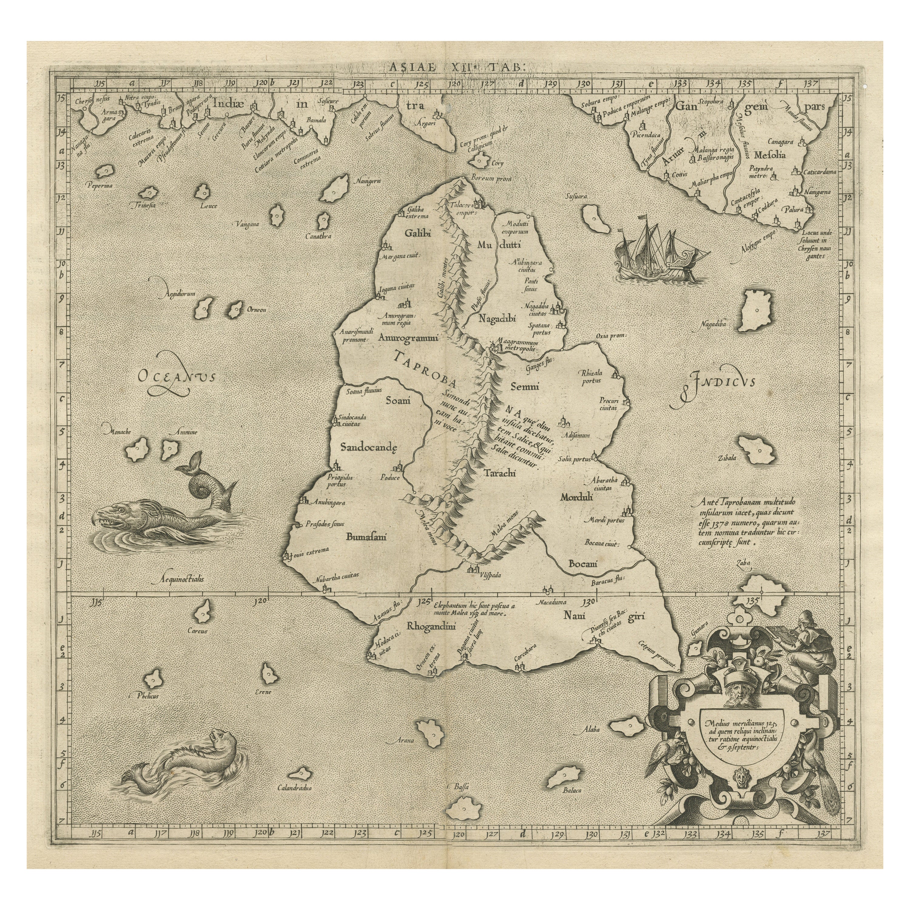
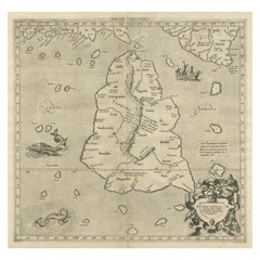
- Mercator's Ptolemaic map of Taprobana, (Ceylon) Sri LankaLocated in Langweer, NLAntique map titled 'Asiae XII Tab'. Mercator's Ptolemaic map of Taprobana. The map shows Ptolemy's erroneous location of the island of Sri Lanka near the equator, with a bit of India...Category
Antique 16th Century Maps
MaterialsPaper
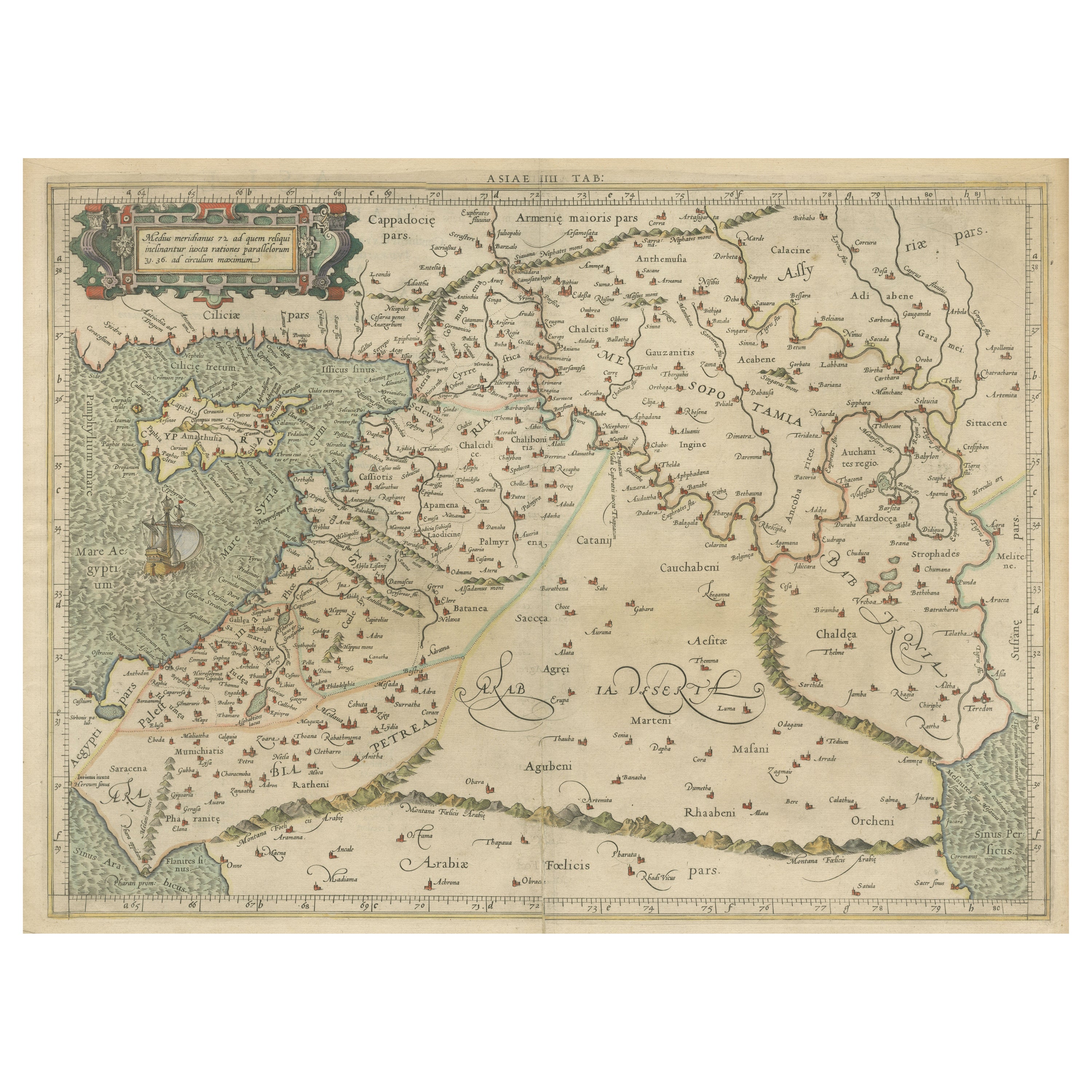
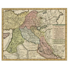
- Mercator's Ptolemaic Map of the Holy Land, Cyprus and Syria, circa 1580Located in Langweer, NLAntique map titled 'Asiae IIII Tab'. Beautiful map of Mercator's Ptolemaic map of the Holy Land, Cyprus, Syria, etc. Originates from Mercator's 'Geographia'. Gerard Mercator (1512 ...Category
Antique 16th Century Maps
MaterialsPaper
- Persia Unveiled: Antique Map of Iran, Afghanistan, and Beyond, 1852Located in Langweer, NLThe antique map titled 'Royaumes de Perse Herat & Kaboul' is an attractive map of Persia. Here are the key details and features of the map: 1. **Geographic Coverage**: - The map ...Category
Antique Mid-19th Century Maps
MaterialsPaper
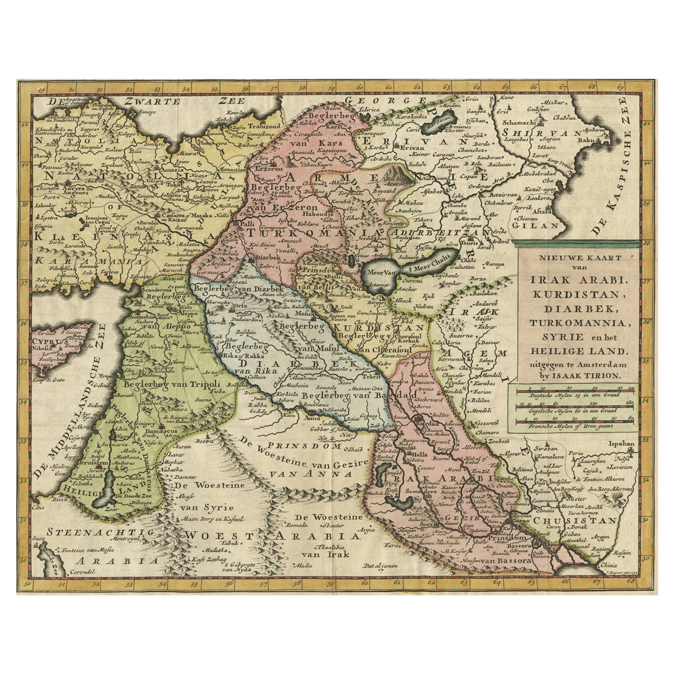
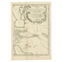
- Original Map of The Northern Arabian Peninsula, Palestine, Iraq & Iran, 1732Located in Langweer, NLAntique map titled 'Nieuwe kaart van Irak Arabi, Kurdistan, Diarbek (..).' Detailed map including the northern part of the Arabian peninsula, Pales...Category
Antique 1730s Maps
MaterialsPaper
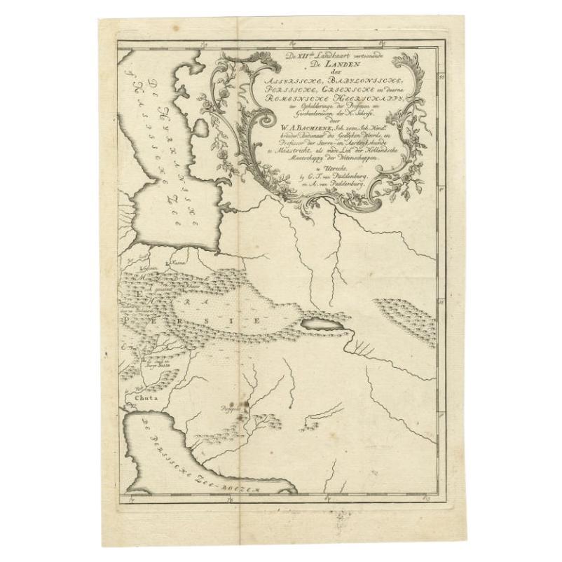
- Antique Map of Ancient Persia, Assyria and surroundings, c.1760Located in Langweer, NLAntique map titled 'De XII de Landkaart vertoonende de Landen der Assyrische, Babylonische, Persische, Grieksche en daarna Romeinsche Heerschappy.' Map of ancient Persia...Category
Antique 18th Century Maps
MaterialsPaper
- Antique Map of Styria by Mercator 'circa 1650'Located in Langweer, NLAntique map titled 'Stiria'. Original antique map of Styria, Austria. Published by G. Mercator, circa 1650.Category
Antique Mid-17th Century Maps
MaterialsPaper

You May Also Like
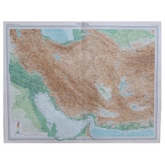
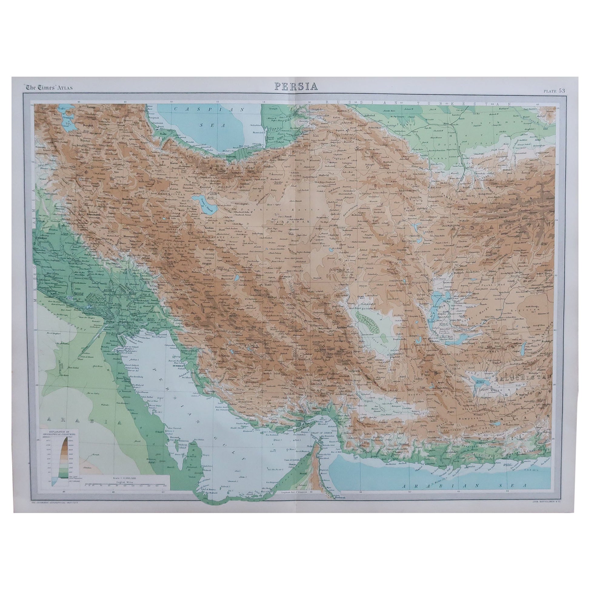
- Large Original Vintage Map of Persia / Iran, circa 1920Located in St Annes, LancashireGreat maps of Persia. Unframed. Original color. By John Bartholomew and Co. Edinburgh Geographical Institute. Published, circa 1920. Free shipping.Category
Vintage 1920s British Maps
MaterialsPaper
- 17th Century Hand-Colored Map of Southeastern England by Mercator and HondiusBy Gerard MercatorLocated in Alamo, CAA 17th century copperplate hand-colored map entitled "The Sixt Table of England" by Gerard Mercator and Jodocus Hondius, published in Amsterdam in 1635 in 'Cosmographicall Descriptio...Category
Antique Mid-17th Century Dutch Maps
MaterialsPaper
- 17th Century Hand-Colored Map of Valencia and Murcia, Spain by Mercator/HondiusBy Gerard MercatorLocated in Alamo, CAA 17th century hand-colored map entitled "Regni Valentiae Typus, Valentia and Murcia" by Gerard Mercator and Joducus Hondius, published in Amsterdam in 1635 in 'Cosmographicall Descr...Category
Antique Mid-17th Century Dutch Maps
MaterialsPaper
- 17th Century Hand-Colored Map of West Africa by Mercator/HondiusLocated in Alamo, CAA 17th century hand-colored map entitled "Guineae Nova Descriptio" by Gerard Mercator and Jodocus Hondius, published in their 'Atlas Minor' in Amsterdam in 1635. It is focused on the...Category
Antique Mid-17th Century Dutch Maps
MaterialsPaper
- Southeastern Ireland: A 17th Century Hand Colored Map by Mercator and HondiusBy Gerard MercatorLocated in Alamo, CAA 17th century copperplate hand-colored map entitled "The Second Table of Ireland, Udrone" by Gerard Mercator and Jodocus Hondius, published in Amsterdam in 1635 in 'Cosmographicall ...Category
Antique Mid-17th Century Dutch Maps
MaterialsPaper
- Map, Exploring The WorldLocated in New York, NY300 stunning maps from all periods and from all around the world, exploring and revealing what maps tell us about history and ourselves. Selected by an international panel of cartographers, academics, map dealers and collectors, the maps represent over 5,000 years of cartographic innovation drawing on a range of cultures and traditions. Comprehensive in scope, this book features all types of map from navigation and surveys to astronomical maps, satellite and digital maps, as well as works of art inspired by cartography. Unique curated sequence presents maps in thought-provoking juxtapositions for lively, stimulating reading. Features some of the most influential mapmakers and institutions in history, including Gerardus Mercator, Abraham Ortelius, Phyllis Pearson, Heinrich Berann...Category
21st Century and Contemporary Hong Kong Books
MaterialsPaper