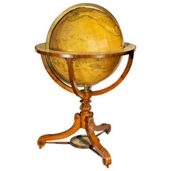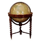
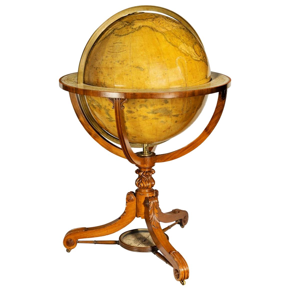
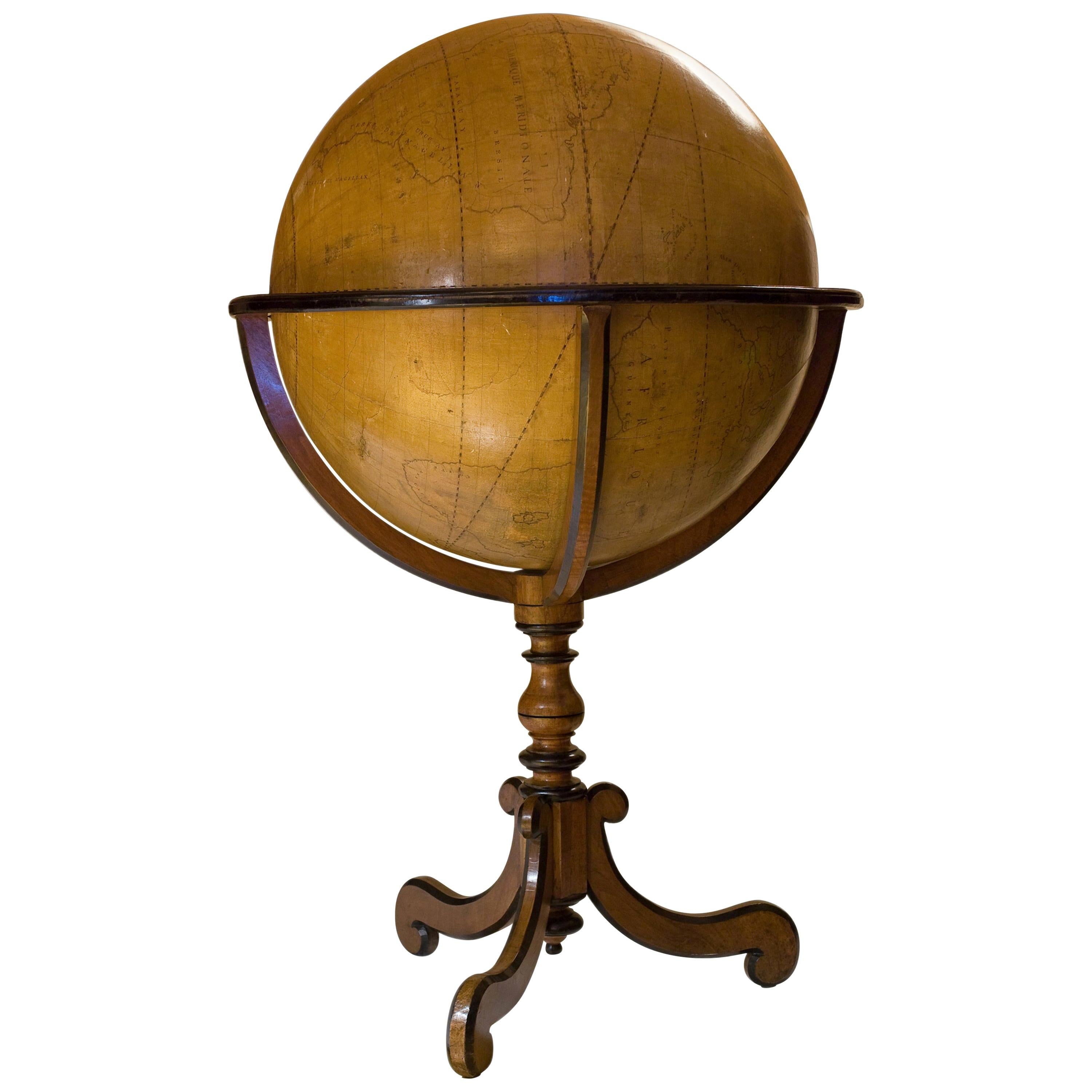
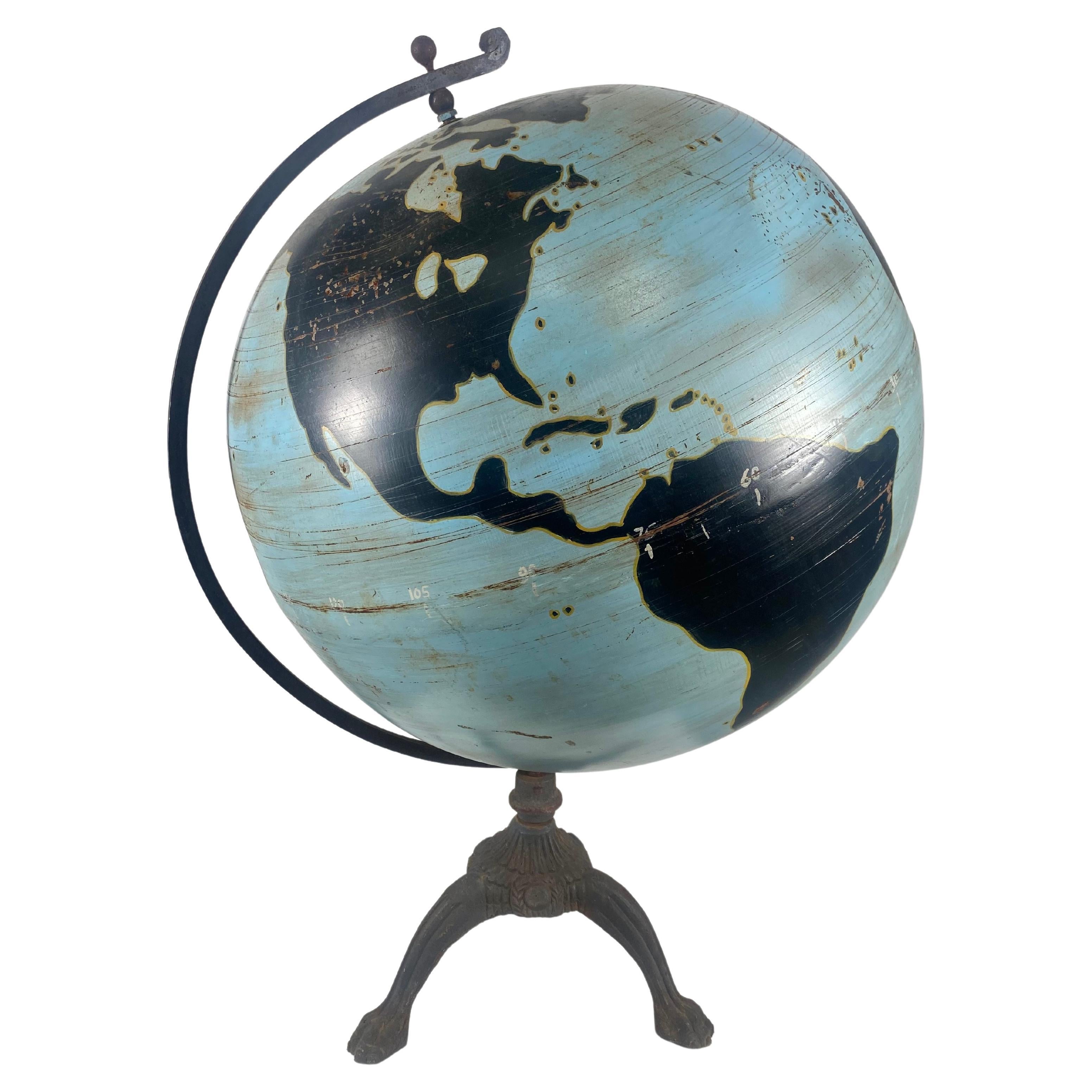
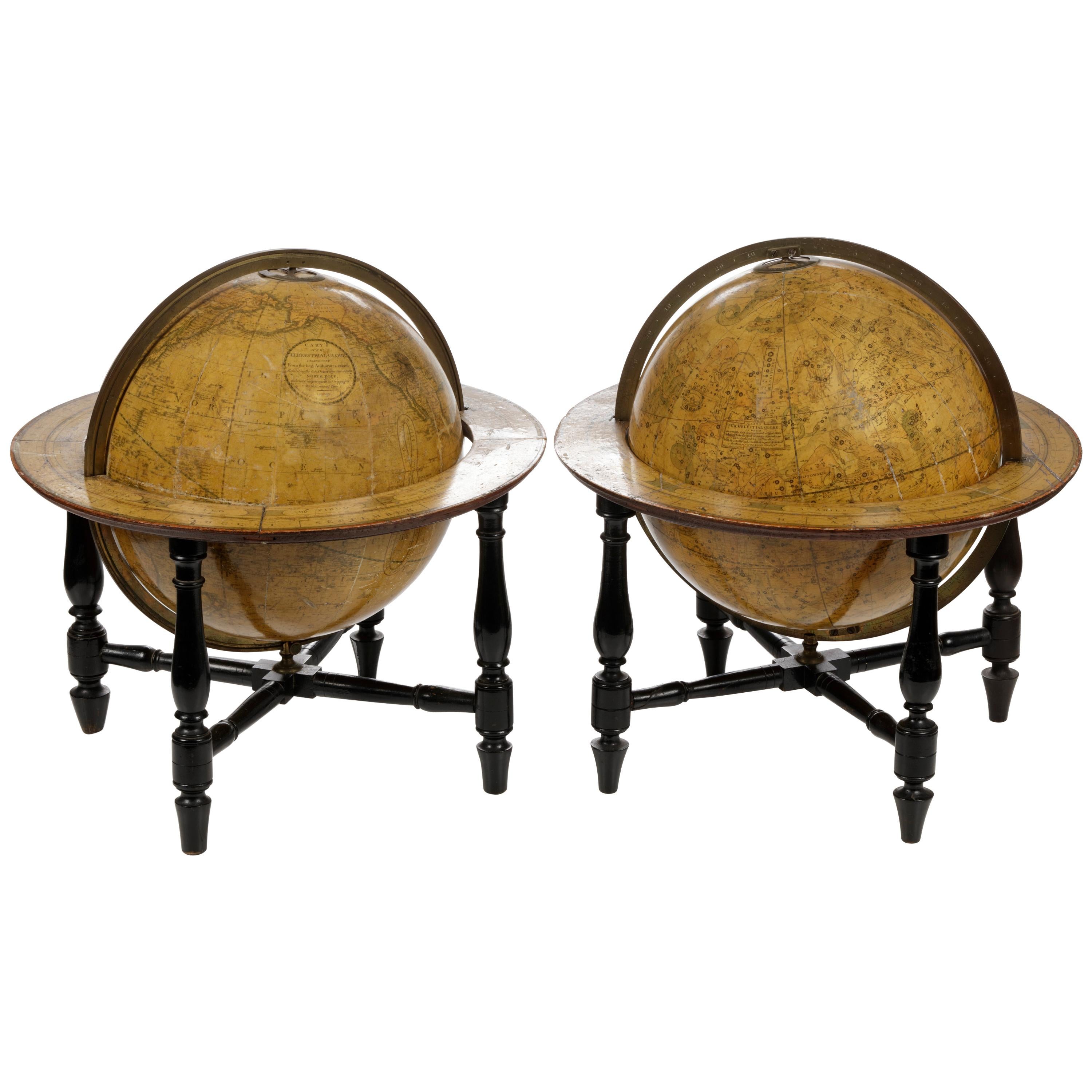
A Large-Scale Globe Showing the Addition of Texas
View Similar Items


1 of 5
A Large-Scale Globe Showing the Addition of Texas
About the Item
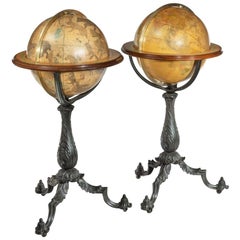
This remarkable large-scale globe, which is nearly five feet tall in its stand, captures one of the most fascinating time periods in United States history. At the time the globe was assembled around 1849, westward expansion was well underway with the Union’s gains of California and New Mexico in the signing of the Treaty of Guadalupe Hidalgo. In addition to the historical significance of the piece, the globe is also a superb example of mid-nineteenth century craftsmanship from the distinguished workshop of W. & A.K. Johnston.
Though the globe is undated in the cartouche, several cartographic clues place its creation within a four year time period between 1849 and 1853.
California and New Mexico: Johnston’s inclusion of California and New Mexico in the United States is significant in dating the globe to post-1848: following the Treaty of Guadalupe Hidalgo in 1848, which formally ended the Mexican-American War, the United States assumed control over vast new territories, including the land that became California and New Mexico.
Texas: The globe also includes Texas in its entirely, firmly placing the globe’s date of creation after 1848. Though Texas was officially recognized as a state in 1845, border disputes with Mexico continued for several years after the war. The borders of Texas, which exceeded the original boundary lines of the Republic of Texas lasting from 1836-1845, were established in 1848.
New Mexico: The Southern portion of New Mexico was purchased from Mexico in the Gadsden Purchase in 1853, and it is not shown on this globe as US territory. The southern part of New Mexico Territory has a concave gouge on the globe (illustrated at right), which clearly indicates that the mapping pre-dates the Gadsden purchase.
Indian Territory: The inclusion of unnamed "Indian Territory" dates the globe to pre-1856: By 1856, the land designated for Indians under the Intercourse Act of 1834 had been reduced to the boundaries of present-day Oklahoma. On the globe, the larger boundaries of what later became known as "Indian Territory" thus re-confirms a date prior to 1856, the year the territory was reduced to the modern day borders of the State of Oklahoma. These lands quickly became known as Indian Territory.
Minnesota Territory: This territory, with boundaries precisely indicated on the globe, was formed in 1849 with larger boundaries than the modern State of Minnesota. After Minnesota gained statehood in 1858 with its present, smaller boundaries, the western part of Minnesota Territory was dissolved and became an "Unorganized Territory."
Russian America: An additional point of interest is the labeling of Alaska as “Russian America”, which dates the piece to pre 1867. The Russian colonial possessions in the Americas included what today is the U.S. state of Alaska and settlements farther south in California and Hawaii. The United States purchased the territory that became Alaska from the Russian government in 1867, following a decline in trade that weakened Russia's interests in the region.
This superbly crafted large-scale globe was created by Alexander Keith Johnston (1804-1871), who, along with his brother and partner William Johnston (1802-1888), were regarded as the best globe makers in the world during the nineteenth century. The British manufacturers began their careers as apprentices to Scottish publisher and globe maker, James Kirkwood (fl. 1774-1824). After Kirkwood's workshop was destroyed by a fire, William and Alexander Keith were compelled to open their own globe manufacturing business. This venture proved extremely successful. In time, William and Alexander Keith earned a royal appointment, which is why the cartouches on their globes are topped by royal coats of arms.
The success of W. & A.K. Johnston the brand long outlived its namesakes. Throughout the beginning of the twentieth century, the companies of A.H. Andrews, Rand McNally, Weber Costello, and A.J. Nystrom all continued to commission globes from W. & A.K. Johnston, frequently selling Johnston globes without a visible Johnston cartouche.
- Dimensions:Height: 57.5 in (146.05 cm)Diameter: 32 in (81.28 cm)
- Materials and Techniques:
- Place of Origin:
- Date of Manufacture:c. 1850
- Condition:Some light signs of aging, overall good.
- Seller Location:New York, NY
- Reference Number:1stDibs: 100503888919
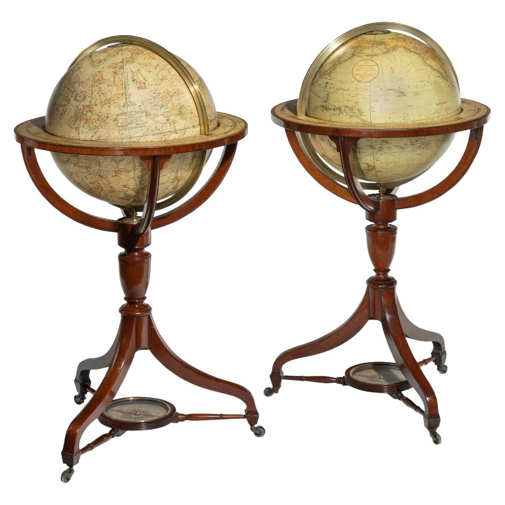
You May Also Like
- Large and Extremely Rare Terrestrial Globe by NewtonBy Newton Globes - Planer & NewtonLocated in Lymington, HampshireA large and extremely rare 24-inch terrestrial globe by Newton Our most magnificent and rare globes were a pair of 24-inch Newton globes. These too were updated in 1852 (terre...Category
Antique Mid-19th Century English Globes
MaterialsMahogany
- Colossal Terrestrian Globe Hand Painted, French, First Half of the 18th CenturyLocated in Saint-Ouen, FRColossal Terrestrian globe hand painted, French, first half of the 18th century. Mounted in a 19th century pedestal wood.Category
Antique 1730s French Globes
MaterialsBeech
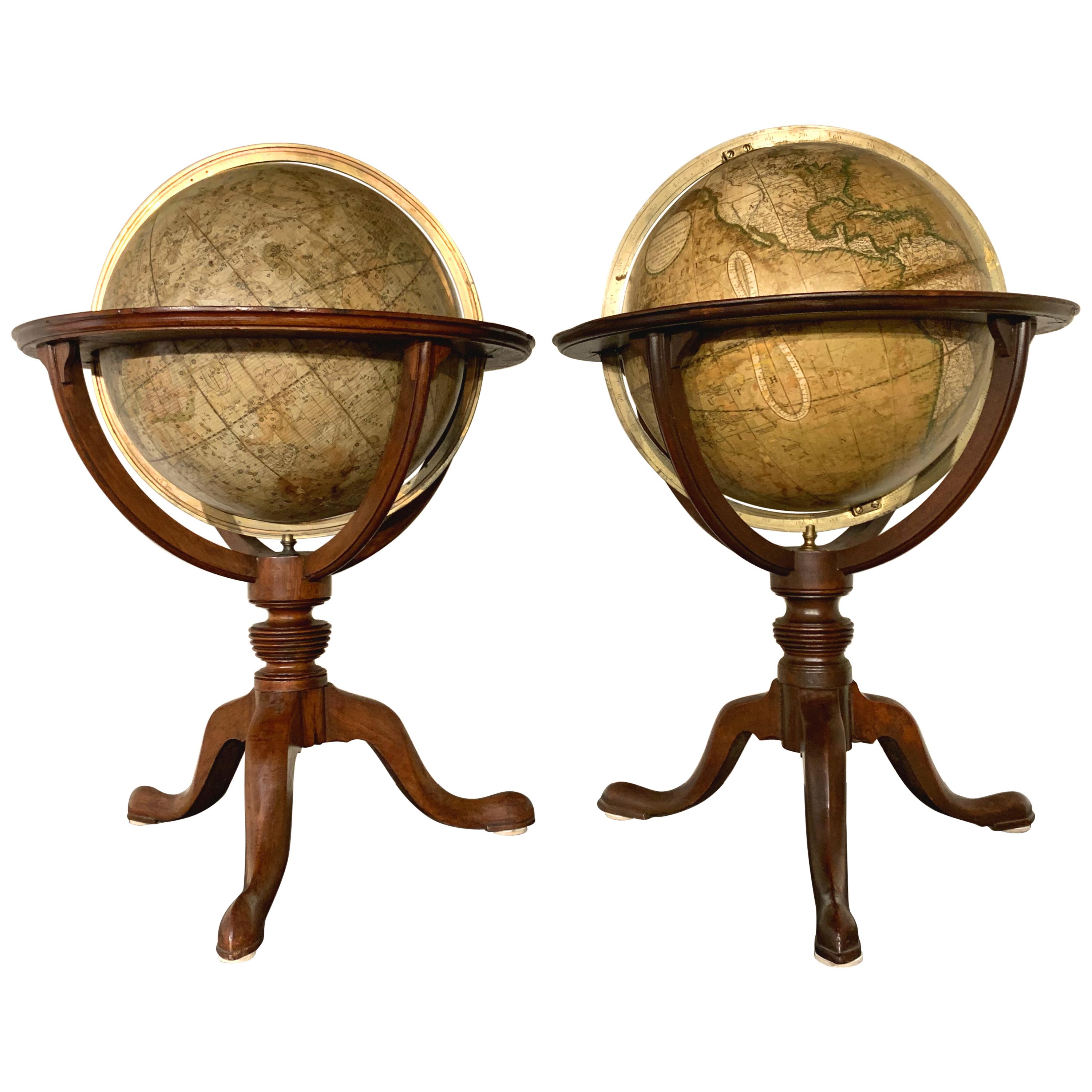
- Pair of Philip & Son Globes, circa 1946By George Philip & SonLocated in London, GBA wonderful set of Terrestrial and Celestial 12 inch globes by George Philip and Son. Presented on brass inclined plain mounts attached to original turned ebonized wooden bases and uprights with axes secured at the top by brass acorn finials. Unusually, the terrestrial globe has a copyright date shown under the cartouche, 1946. The celestial globe is printed in beige against a dark blue background and shows the constellations and many named stars. Solid lines connect the stars within constellations rather than illustrating them as mythological and other figures.? A cartouche is present that includes the title and maker's address. When looking at the stars from Earth the viewpoint is effectively inside a celestial sphere. The surface of a celestial globe shows the star field as a projection viewed from the outside and is therefore reversed, with the constellations appearing as their mirror images. The terrestrial globe is printed in several colours and comprises of twelve coated lithographic paper gores with polar calottes over a twelve inch card sphere. The age of the globe has been confirmed by the political borders and named cities displayed. The globe is nicely detailed and has a grid network of parallels and meridians. It shows all the continents and countries as they were at the time it was printed and also indicates all the principal steamship routes with distances in nautical miles. The globe also has a printed Analemma - a diagram showing the declination of the Sun for every day in the year and the equation of time. The Analemma therefore shows the position of the Sun in the sky as seen from a fixed location on Earth at the same mean solar time, as the sun's position varies over the course of a year. A cartouche is present that includes the title and maker's address. Dimensions of each globe: 30.5 cm/12 inches (diameter) x 59 cm/23 1/4 inches (max height). George Philip, (1800–1882) was a cartographer and map publisher. He founded George Philip & Sons in 1834 in Liverpool primarily as a bookseller and stationer, but rapidly expanding to become a publisher of primarily maps, atlases and educational works. He had one son, also George (1823–1902), who was admitted to the business in 1848. George senior was born in Huntly, Aberdeenshire and by 1819 he had become assistant to the Liverpool bookseller, William Grapel before going on to start his own business. He used cartographers (such as John Bartholomew the elder, August Petermann, and William Hughes) to produce maps on copper plates. Philip then had these printed and hand-coloured by his women tinters. The business expanded rapidly and by the time he produced his county maps of 1862 he was using machine...Category
Vintage 1940s British Globes
MaterialsBrass
 $8,644 / set
 - Large 1930s Steel /Cast Iron Military Chalk World Globe Denoyer GeppertBy Denoyer-GeppertLocated in Buffalo, NYRare c 1930 steel Denoyer Geppert military chalk globe. Globe alone measures 22" in diameter, Retains original patina. Age appropriate wear. Minor dents.(see photo). Original patina ...Category
Vintage 1930s American Art Deco Globes
MaterialsSteel, Iron
- Pair of Floor Standing Globes by Gilman JoslinBy Gilman JoslinLocated in Lymington, HampshireA pair of 16-inch floor standing globes by Gilman Joslin, each set into a cast-iron tripod base with an acanthus-leaf baluster support on three b...Category
Antique 19th Century American Maps
MaterialsIron
 $61,975 / set
 - Vintage Bakelite, Sheet Metal / Tin Globe from the 1950s, West GermanyLocated in Nuernberg, DEVintage Globe from the 1950s. Specially made on the subject of aviation. Depicted with all kinds of flying lines. Made by the company M.S. Germany. The globe is made of Tin and the stand is Bakelite. Globe and stand...Category
Vintage 1950s German Mid-Century Modern Globes
MaterialsMetal