Items Similar to Seminal guide to the East and West Indies, with 42 coloured maps and plates


Want more images or videos?
Request additional images or videos from the seller
1 of 21
Seminal guide to the East and West Indies, with 42 coloured maps and plates
About the Item
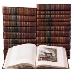
Seminal guide to the East and West Indies, with 42 double-page and folding plates, including 6 maps, all engravings beautifully coloured by a contemporary hand
LINSCHOTEN, Jan Huyghen van.
Histoire de la navigation ... aux Indes Orientales ... Avec annotations de B. Paludanus, ... Troixiesme edition augmentee.
Including:
LINSCHOTEN, Jan Huyghen van. Le grand routier de mer, ...
[LINSCHOTEN, Jan Huygen van]. Description de l'Amerique & des parties d'icelle, ...
Amsterdam, Evert Cloppenburg, 1638. Folio (32.5 x 21 cm). With 3 title pages (2 from the same full-page engraving and 1 letterpress with an engraving of a ship in a cartouche with 4 inset city views), a nearly full-page engraved portrait of the author in a cartouche with 4 inset views, 42 engraved plates including 6 maps (31 double-page & 11 larger folding). All plates are colored by a contemporary hand. Near contemporary mottled calf, gold-tooled spine. [8], 206 pp.; [4], 181, [1 blank]; [1], [1 blank], “86” [= 80], [2 blank] pp.
A hand-colored copy of the third French edition of Linschoten's classic illustrated guide for travelers to the East and West Indies, termed by Lach ''the most important of the first-hand accounts published independently of the great travel collections'' (I.198). No other book contained so much useful intelligence on the East and West Indies. Unhindered by the censorship that constrained writers from the Iberian peninsula (details of seas and coasts in Asia and the Americas were military secrets), he included such information as sailing directions, physical descriptions of countries, and statistics on commerce and trade. The work was held in such high regard that for nearly a century, every Dutch ship sailing to Africa and Asia carried a copy of a Dutch edition of Linschoten. The 42 plates (11 large folding) are especially noteworthy, including 6 maps and several bird's-eye views, many with coats of arms of the regions shown and of the colonial powers that controlled parts of them.
Although the work contains a valuable survey of the New World, the material on India and the East Indies is the most valuable, being the fruit of the author's observation. In the service of the Portuguese, Linschoten spent five years in Goa (1583-1588/89), making numerous visits to other parts of India. He was thoroughly immersed in Indian culture and the complex relations between the Portuguese colonial apparatus and indigenous peoples. Highlights include a first-hand description of the caste system, political structures, business practices of the Banyas, and exotic natural phenomena.
The text is divided into three parts. The first part covers the East Indies and East Africa, including regions as far east as Japan. The second describes the navigation along the coasts of West Africa around the Cape of Good Hope to Arabia, together with some coasts in the New World. The third book is devoted to North America, the Caribbean, and Brazil.
About 4 sheets were slightly browned and a few others with spots or minor foxing, a tear was repaired in the title page to part 3 (not affecting the text or engraving), one plate was cut and reattached at an early date and a few others show minor browning or small tears where the folds cross, the corner of one leaf torn off (without loss of text) and a few other minor marginal defects, but still generally in very good condition, with the coloring rich and in good condition. The boards are slightly rubbed and the head and foot of the spine are expertly restored, but the binding is still in good condition.
A seminal work on navigation to the East and West Indies that opened up exploration to explorers outside Spain and Portugal.
Alden & Landis 638/37 (8 copies); Lach, Asia in the making of Europe I, pp. 196-204 & 482-490; Palau 138584; Sabin 41373 & 28266; STCN (3 copies); Tiele, Bibl. 686-688.
- Creator:Jan Huygen van Linschoten (Author)
- Dimensions:Height: 12.6 in (32 cm)Width: 8.27 in (21 cm)Depth: 1.58 in (4 cm)
- Style:Dutch Colonial (Of the Period)
- Materials and Techniques:
- Place of Origin:
- Period:Early 17th Century
- Date of Manufacture:1638
- Condition:
- Seller Location:ZWIJNDRECHT, NL
- Reference Number:1stDibs: LU9419237930722
About the Seller
No Reviews Yet
Vetted Seller
These experienced sellers undergo a comprehensive evaluation by our team of in-house experts.
1stDibs seller since 2023
- ShippingRetrieving quote...Ships From: ZWIJNDRECHT, Netherlands
- Return PolicyA return for this item may be initiated within 14 days of delivery.
More From This SellerView All
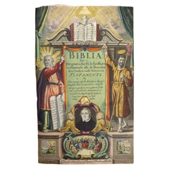
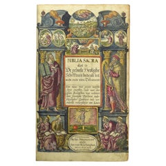
- Dutch Luther Bible with fine hand-coloured and highlighted in gold illustrationsBy Claes Jansz. Visscher (II)Located in ZWIJNDRECHT, NLBeautifully bound mid-17th-century "Visscher edition" of the Dutch Luther Bible with expertly hand-coloured and highlighted in gold illustrations. [BIBLE - LUTHER - DUTCH]. VISSCHER...Category
Antique 1640s Dutch Dutch Colonial Books
MaterialsGold
- Colored wall map of the WORLDBy ChambonLocated in ZWIJNDRECHT, NL“Mappe Monde, contenant les Parties Connues du Globe Terrestre” CHAMBON, Gobert-Denis (France, 17.. - 1781) Paris, Longchamps et Janvier, 1754 Size H. 115 x W. 145 cm. Gobert-Denis Chambon made copper engraving after the work of Guillaume De L’Isle, published in 1754 by Jean Janvier and S.G. Longschamps. A huge wall map of the world in two hemispheres printed on two sheets, depicting the Eastern and Western hemispheres supported by two male figures, decorated at the bottom right and left with two celestial hemispheres (boreal and southern) and at the bottom in the middle with an armillary sphere, in addition. This map is most notable for its depiction of the Sea of Japan labeled "Mer de Corée" and of "Mer de L'Ouest" or Sea of the West - a great sea, easily the size of the Mediterranean, to flow from the then-known Strait of Juan de Fuca...Category
Antique Mid-18th Century French French Provincial Maps
MaterialsWood, Paper

- Hand-coloured set of Buffon’s Histoire naturelle in its most luxurious formBy Georges-Louis Leclerc, Comte de BuffonLocated in ZWIJNDRECHT, NLPublisher: Buffon, Georges-Louis Leclerc de Place / Date: Dordrecht, Abraham Blussé, 1766-1799 Size: 38 parts in 21 volumes. Large 4to. With more than 1100 hand-coloured engraved ...Category
Antique Late 18th Century Dutch Dutch Colonial Books
MaterialsPaint, Paper
- Hand-colored 16th century copy of the famous Moerentorf BibleBy Henry MoretLocated in ZWIJNDRECHT, NLPublisher: Daniel Vervliet and Hendrik Swingen for Jan I Moretus & Jan I van Keerberghen Place / Date: Antwerp, 1599 Biblia sacra. Dat is de geheele heylighe schrifture bed...Category
Antique 16th Century Belgian Baroque Books
MaterialsWood, Paper
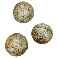
- Fine double pocket globeBy Carl BauerLocated in ZWIJNDRECHT, NLPublisher: Carl Bauer (Germany, 1780-1857) Place / Date: Nürnberg, ca. 1840 Size: Diameter Globes 6,5 cm. Terrestrial and celestial "Mother and Child" or double globe; the ...Category
Antique 1840s German Dutch Colonial Globes
MaterialsWood, Paper
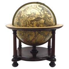
- A beautiful Celestial Table Globe produced by Gerard & Leonard ValkBy Gerard and Leonard ValkLocated in ZWIJNDRECHT, NLA magnificent and very rare early 18th century celestial table globe produced by Gerard and Leonard Valk. Established at the end of the previous ...Category
Antique Early 18th Century Dutch Dutch Colonial Globes
MaterialsOther
You May Also Like
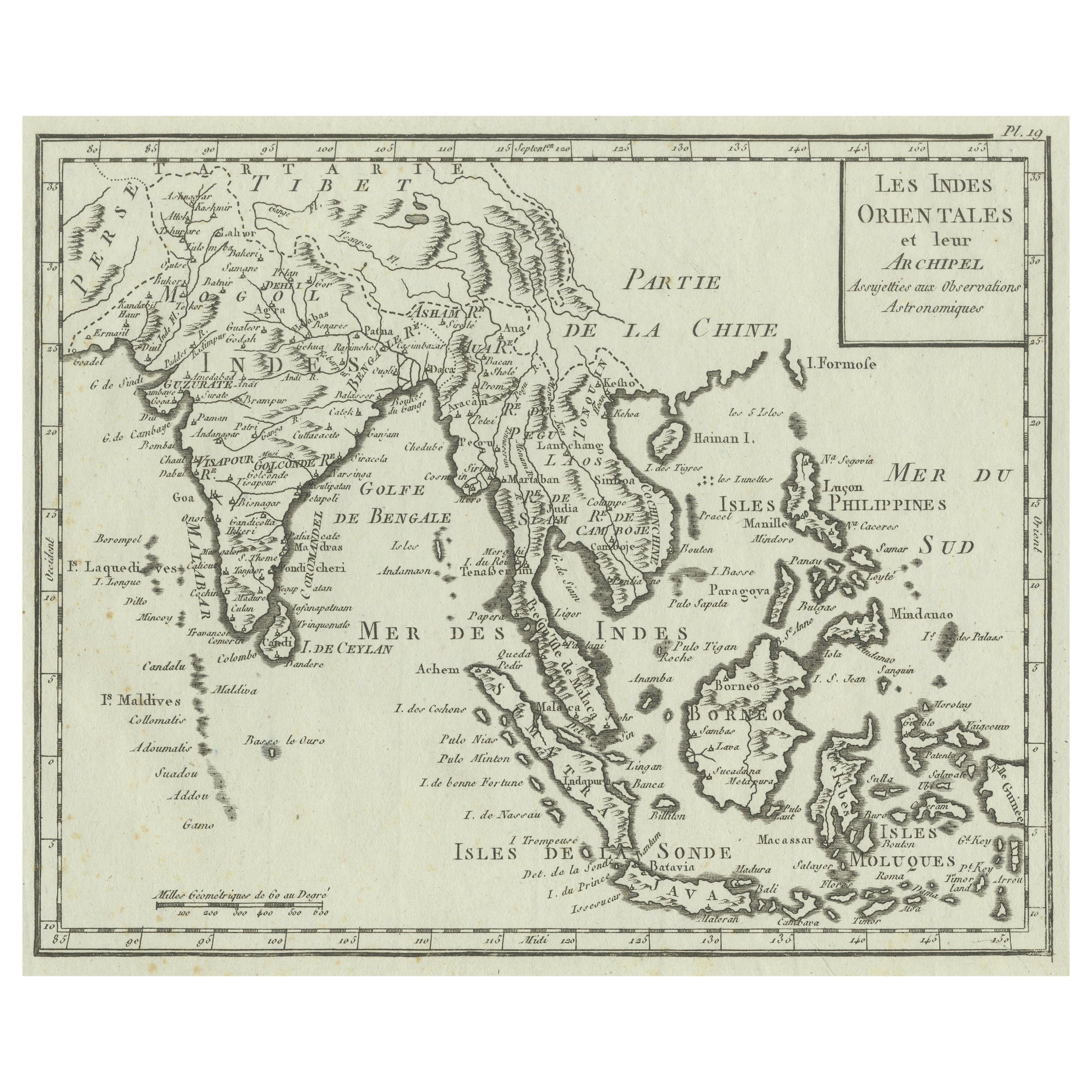
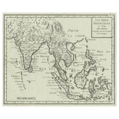
- Antique Map of India, the East Indies and the PhilippinesLocated in Langweer, NLAntique map titled 'Les Indes Orientales et leur Archipel'. Original antique map of India, the East Indies and the Philippines. Source unknown, to be determined. Published circa 1760.Category
Antique Mid-18th Century Maps
MaterialsPaper
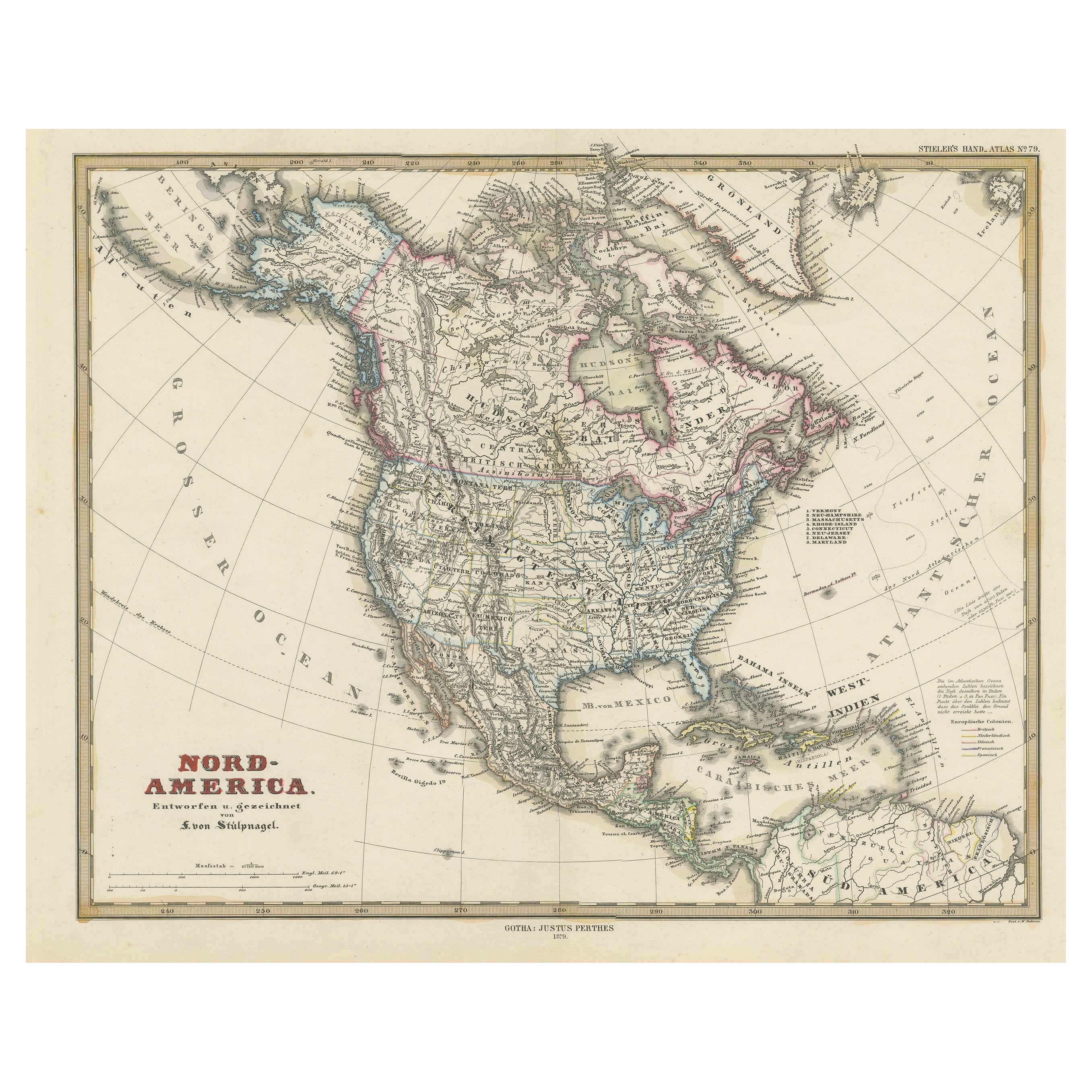
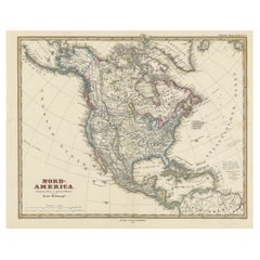
- Antique Map with Hand Coloring of North America and the West IndiesLocated in Langweer, NLOriginal antique map titled 'Nord-America'. Old map of North America and the West Indies. This map originates from Stielers Handatlas, published circa 1879. Stielers Handatlas (a...Category
Antique Late 19th Century Maps
MaterialsPaper
- Antique Map of Central America and the West Indies, 1882Located in Langweer, NLAntique map titled 'West India Islands and Central America'. Old map of Central America and the West Indies. This map originates from 'The Royal Atlas of Modern Geography, Exhibiting...Category
Antique 19th Century Maps
MaterialsPaper
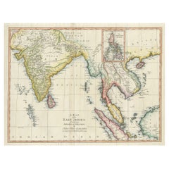
- Large Antique Map of the East Indies, with Inset of the PhilippinesLocated in Langweer, NLAntique map titled 'A Map of the East Indies (..)'. Large antique map of Southeast Asia, India, and part of China, extending to Tibet, the Maladives, Sumatra, part of Borneo, Hainan,...Category
Antique Late 18th Century Maps
MaterialsPaper
- Antique Map of the East Indies by A & C. Black, 1870Located in Langweer, NLAntique map titled 'Indian Archipelago and Further India including Burmah, Siam, Anam &c'. Original antique map of Indian Archipelago and Further India. This map originates from ‘Bla...Category
Antique Late 19th Century Maps
MaterialsPaper
- Antique Map of the East Indies by Bonne '1776'Located in Langweer, NLAntique map titled 'Indes IVe Feuille'. Very decorative original antique map of the East Indies. Covbers from the Gulf of Siam (Gulf of Thailand) and Malacca (Malaysia) eastward to i...Category
Antique Late 18th Century Maps
MaterialsPaper


Recently Viewed
View AllMore Ways To Browse
Antique Collectible Plates
New West Furniture
East West Furniture
West Indian Furniture
French Collectible Plates
Spanish 42
Dutch Ship
Valuable Collectibles
Grand Colonial
Engraved With B
West Indian Antique Furniture
East Indies Furniture
Bird With Fruit
Dutch Indies
African Plate
Military Curiosities
Coat Of Arms Plates
Military Antique Collectibles