Items Similar to Antique 1901 National Publishing Company's Road Map of New Jersey Geological


Want more images or videos?
Request additional images or videos from the seller
1 of 14
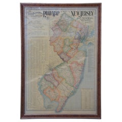
Antique 1901 National Publishing Company's Road Map of New Jersey Geological
About the Item
The National Publishing Company's road map of New Jersey, showing all county and township divisions, cities villages and post-offices, railroads, steam and electric, with distances between stations. 4 miles to 1 inch. This map has been mounted to board with old hinge marks seen along the right edge. Believed to have been used in a School type of setting. Measures: 42".
- Dimensions:Height: 42.25 in (107.32 cm)Width: 0.75 in (1.91 cm)Depth: 30.5 in (77.47 cm)
- Style:Victorian (In the Style Of)
- Materials and Techniques:
- Period:1900-1909
- Date of Manufacture:1901
- Condition:Wear consistent with age and use. Fair condition, wear and distressing, alligatoring / crazing, pin hole see pictures.
- Seller Location:Dayton, OH
- Reference Number:

About the Seller
4.9
Platinum Seller
These expertly vetted sellers are 1stDibs' most experienced sellers and are rated highest by our customers.
Established in 2010
1stDibs seller since 2020
1,142 sales on 1stDibs
Typical response time: <1 hour
- ShippingRetrieving quote...Ships From: Dayton, OH
- Return PolicyA return for this item may be initiated within 2 days of delivery.
More From This SellerView All
- 1903 Antique National Publishing Road Map of New Jersey Geological SurveyLocated in Dayton, OH1903 antique New Jersey road map by The National Publishing Company of Boston Massachusettes, No 384. Index for New Jersey Census 1900, Population 1...Category
Antique Early 1900s Victorian Maps
MaterialsPaper
- Antique 1630 Colored Belgium Map Flandria Gallica Flanders Henricus HondiusLocated in Dayton, OH"Antique hand colored map of Flanders, Belgium, circa 1630, engraved by Henricus Hondius. “Henricus Hondius II (1597 – 16 August 1651) was a Dutch eng...Category
Antique Early 17th Century Renaissance Maps
MaterialsPaper
- Antique Chicago Illinois National Map Commercial Rollup Classroom Census Map 47"Located in Dayton, OHAntique early to mid 20th century double sided hanging map titled the New Commercial and Census Map of Illinois, Edition 1073. Verso shows the National Map of Chicago and Suburbs - O...Category
Early 20th Century North American Maps
MaterialsPaper
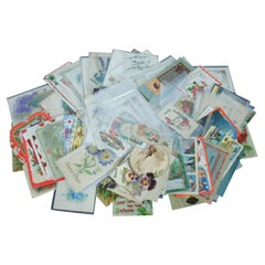
- 138 Vintage & Antique Post Cards Holiday Greeting Valentine Trade Comic AdLocated in Dayton, OHLot of 138 vintage and antique postcards for a variety of holiday greetings and travel locations, plus a handful of Lion Coffee print advertisements.Category
20th Century Prints
MaterialsPaper
- Randolph Caldecott Antique 1879 Afternoon in the Kings Road Engraving 27"Located in Dayton, OHCirca 1879 hand colored engraving titled “Afternoon in the King’s Road” by Randolph Caldecott, showing a throng of people in winter clothing walking...Category
Antique 1870s Victorian Prints
MaterialsPaper
- Vintage Oversized New York City Lower Manhattan 1840s Map PrintLocated in Dayton, OHVintage late 20th century reproduction print of New York City featuring lower Manhattan in 1840.Category
Late 20th Century Victorian Maps
MaterialsPaper


You May Also Like
- Antique Map of New JerseyLocated in Langweer, NLAntique map titled 'Colton's New Jersey'. This rare hand colored map of New Jersey is a copper plate engraving dating to 1855. Produced by the import...Category
Antique Mid-19th Century Maps
MaterialsPaper
- Antique Map of Wisconsin with Inset Geological Map of WisconsinLocated in Langweer, NLAntique map titled 'Wisconsin'. Original antique map of Wisconsin, United States. With inset geological map of Wisconsin. This print originates from '...Category
Antique Late 19th Century Maps
MaterialsPaper
- Antique Geological Map of the World by Johnston '1850'Located in Langweer, NLAntique map titled 'The Geological Structure of the Globe'. Original antique geological map of the world. This map originates from 'The Physica...Category
Antique Mid-19th Century Maps
MaterialsPaper
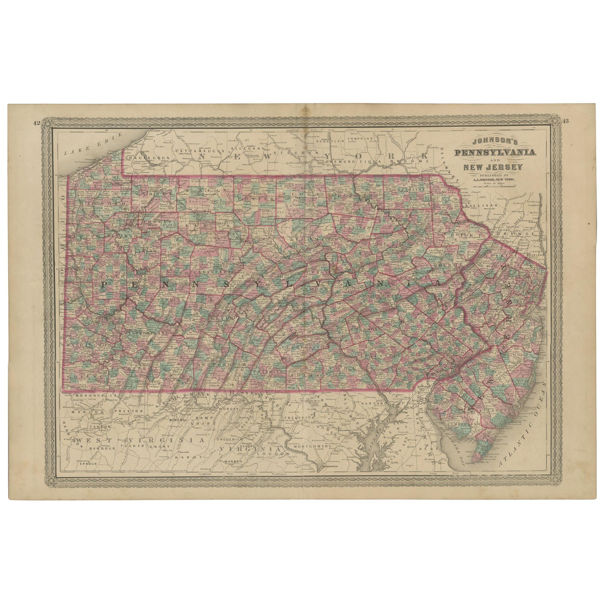
- Antique Map of Pennsylvania and New Jersey by Johnson, 1872Located in Langweer, NLAntique map titled 'Johnson's Pennsylvania and New Jersey'. Original map showing Pennsylvania and New Jersey. This map originates from 'Johnson's New Illustrated Family Atlas of the ...Category
Antique Late 19th Century Maps
MaterialsPaper
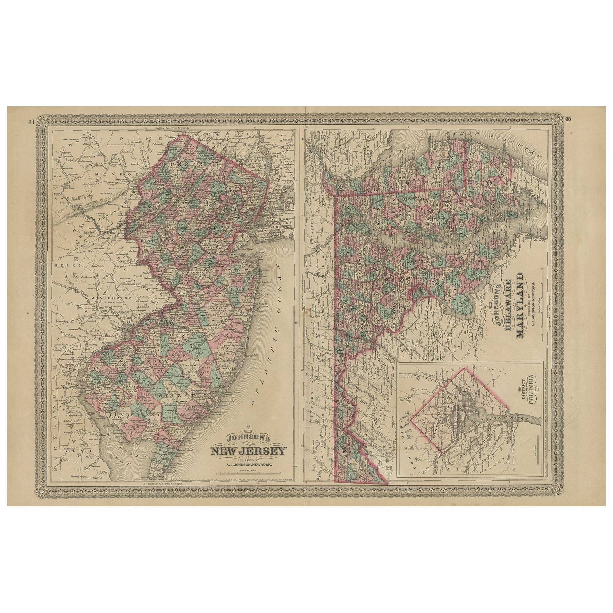
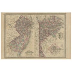
- Antique Map of New Jersey, Delaware and Maryland by Johnson, 1872Located in Langweer, NLAntique map titled 'Johnson's New Jersey (..). Two maps on one sheet showing New Jersey, Delaware and Maryland. With inset map of the district of Columbia...Category
Antique Late 19th Century Maps
MaterialsPaper
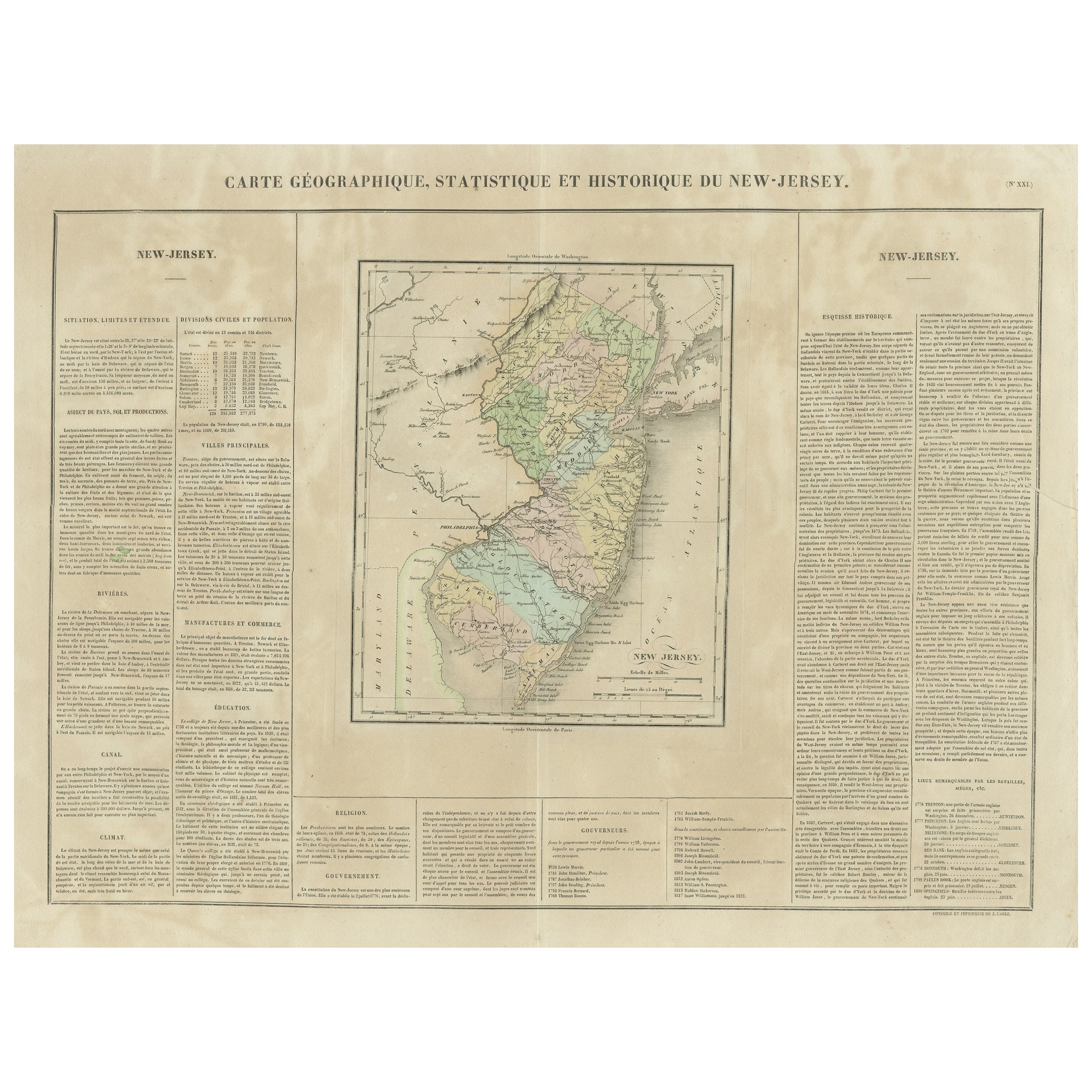
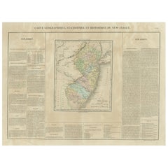
- Original Antique Map of the State of New Jersey Published in FranceLocated in Langweer, NLOriginal antique map titled 'Carte Géographique Statistique et Historique du New-Jersey'. One of the earliest obtainable maps of the State of New Jersey published outside of the Unit...Category
Antique Early 19th Century Maps
MaterialsPaper


Recently Viewed
View AllMore Ways To Browse
Geological Map
Railroad Station
Andre The Giant
Antique Cecil Aldin Signed Print
Antique Planisphere
Astronomy Wall Chart
Athanasius Kircher
Barbary Lion
Coconut Spoon
Dame Elisabeth Frink
Dana Gibson Furniture
Dirty Dogs
Edison Mazda
Frohse Anatomical Chart
Golden Goose 7
Greek Folk Costume
Haack Painke
Hooded Crows