Items Similar to Hand-Colored French Map, Carte des Etats Unis, Par Bonne, Late 18th Century


Want more images or videos?
Request additional images or videos from the seller
1 of 6
Hand-Colored French Map, Carte des Etats Unis, Par Bonne, Late 18th Century
About the Item
Hand-colored French map, Carte de la Partie Nord, des Etats Unis, de l'Amérique Septentrionale, late 18th century. A French map of New England published at the end of the Revolutionary War from Raynal's Atlas. Rigobert Bonne (1727-1795) was Royal Cartographer to France. Professionally framed and matted.
- Attributed to:Rigobert Bonne (Artist)
- Dimensions:Height: 16.5 in (41.91 cm)Width: 20.13 in (51.14 cm)Depth: 1 in (2.54 cm)
- Style:Louis XVI (Of the Period)
- Materials and Techniques:
- Place of Origin:
- Period:
- Date of Manufacture:Late 18th Century
- Condition:Wear consistent with age and use. Dimensions listed include frame. Image dimensions: 13-1/8 inches wide x 9-1/8 inches high.
- Seller Location:Chappaqua, NY
- Reference Number:1stDibs: LU1150228834252
About the Seller
4.9
Gold Seller
These expertly vetted sellers are highly rated and consistently exceed customer expectations.
1stDibs seller since 2014
131 sales on 1stDibs
- ShippingRetrieving quote...Ships From: Chappaqua, NY
- Return PolicyA return for this item may be initiated within 1 day of delivery.
More From This SellerView All
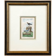
- Antique French Engraving of Birds, Paris, Late 18th CenturyBy François Nicolas MartinetLocated in Chappaqua, NYAntique French engraving of birds, Paris, late 18th century. From the Histoire Naturelle des Oiseaux published from 1770-1786. A hand-colored,...Category
Antique Late 18th Century French Prints
MaterialsPaper
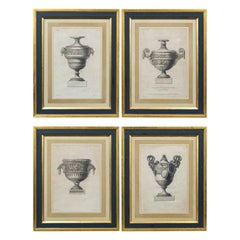
- Set of 4 'Vase' Engravings by Andre-Louis Caillouet, France, Late 18th CenturyLocated in Chappaqua, NYSet of 4 framed vase engravings by Andre-Louis Caillouet (1778-1817), France, late 18th century. Each engraving depicts a different style of ornamental vase, from the series, "Collection of Antique...Category
Antique Late 18th Century French Prints
MaterialsPaper
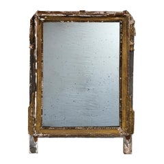
- Antique Italian Giltwood Mirror Frame, late 18th CenturyLocated in Chappaqua, NYAntique Italian Giltwood Mirror Frame, Late 18th Century. Aged surface with original gilt, paint and plaster. Surface is attractively d...Category
Antique Late 18th Century Italian Wall Mirrors
MaterialsPlaster, Giltwood
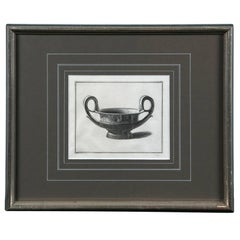
- Framed Etching, Neoclassical Vessel, 19th CenturyLocated in Chappaqua, NYFramed etching, neoclassical vessel, 19th century. Custom silver leaf frame and mat.Category
Antique 19th Century European Neoclassical Prints
MaterialsPaper
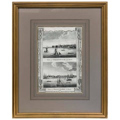
- Framed Print, English Harbor Views, Early 19th CenturyLocated in Chappaqua, NYFramed print of English Harbor views, early 19th century, "View of Greenwich in Kent and View of Deptford in Kent." Custom frame and mat.Category
Antique Early 19th Century English Prints
MaterialsPaper
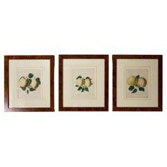
- Set of 3 Framed Apple Study Lithographs, early 20th CenturyLocated in Chappaqua, NYSet of 3 Apple Study Lithographs, early 20th Century. Hand-colored studies of apple varieties. Professionally framed and matted.Category
Early 20th Century Neoclassical Prints
MaterialsWood, Paper
You May Also Like
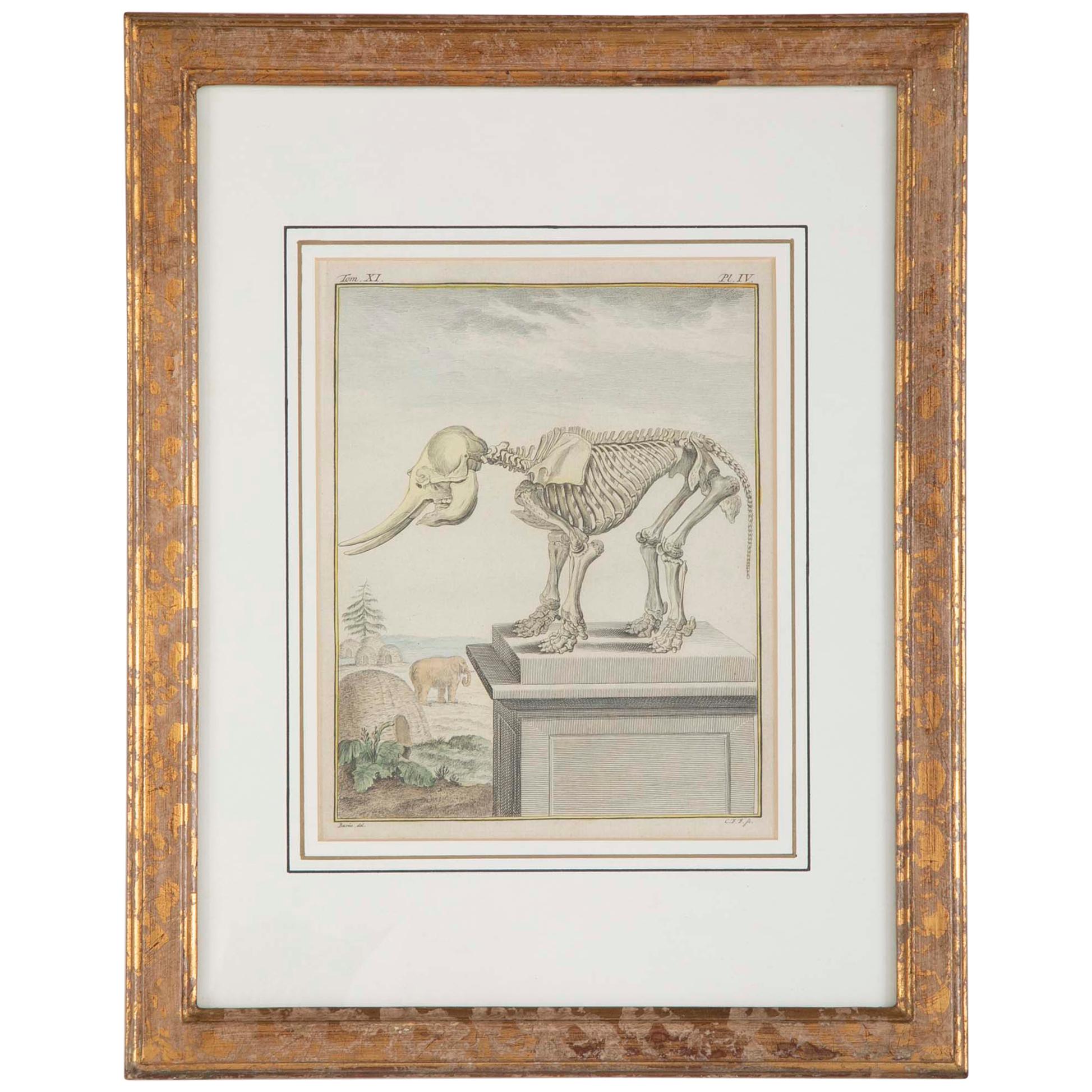
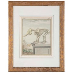
- 18th Century French Hand Colored Etching of an Elephant SkeletonBy Georges-Louis Leclerc, Comte de BuffonLocated in Stamford, CTA beautifully rendered etching with hand coloring depicting the skeleton of an elephant on a pedestal. A live elephant, foliage and huts in the background. French, 18th century by Georges Le Clerc...Category
Antique 18th Century French Louis XVI Decorative Art
MaterialsPaper
- South America: Hand-colored 18th Century Framed Map by Thomas JefferysBy Thomas JefferysLocated in Alamo, CAThis detailed hand-colored map of South America by Thomas Jefferys was published in London in 1750. The map shows countries, early colonial possessions, towns, rivers, mountains, and...Category
Antique Mid-18th Century English Maps
MaterialsPaper
- 18th Century Hand Colored Map of Spain and Portugal by VisscherBy Nicolaes Visscher IILocated in Alamo, CAThis is an early 18th century map of Spain and Portugal, with attractive original hand-coloring, entitled "Hispaniae et Portugalliae Regna per Nicolaum Visscher cum Privilegio Ordinu...Category
Antique Early 18th Century Dutch Maps
MaterialsPaper
- Scandinavia & Portions of Eastern Europe: 18th Century Hand-Colored Homann MapBy Johann Baptist HomannLocated in Alamo, CAAn early 18th century hand-colored copper-plate map entitled "Regni Sueciae in omnes suas Subjacentes Provincias accurate divisi Tabula Generalis" by Johann Baptist Homann (1663-1724...Category
Antique Early 18th Century German Maps
MaterialsPaper
- 18th Century Hand-Colored Homann Map of Germany, Including Frankfurt and BerlinBy Johann Baptist HomannLocated in Alamo, CAAn 18th century hand-colored map entitled "Tabula Marchionatus Brandenburgici et Ducatus Pomeraniae quae sunt Pars Septentrionalis Circuli Saxoniae Superioris" by Johann Baptist Homa...Category
Antique Early 18th Century German Maps
MaterialsPaper
- Hand-Colored 18th Century Homann Map of the Danube, Italy, Greece, CroatiaBy Johann Baptist HomannLocated in Alamo, CA"Fluviorum in Europa principis Danubii" is a hand colored map of the region about the Danube river created by Johann Baptist Homann (1663-1724) in his 'Atlas Novus Terrarum', publish...Category
Antique Early 18th Century German Maps
MaterialsPaper


Recently Viewed
View AllMore Ways To Browse
Unis France
1940s Two Tone
Antique Train Case
Japanese Embroidered
Wooden Store Cabinets
Wrought Mid Century Patio Chair
Antique French Clock Makers
Antique White Chest
Carved Wood Cabinet On Stand
French Sevres Flowers
Fruit Fashion
Geometric Wood Chest
Italian Marquetry Cabinet
Mid Century Wrought Iron Patio Chair
Midcentury Wrought Iron Patio Chairs
Patio Glass Top Table
Retro American Drew Furniture
Stunning Antique Clock