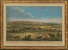
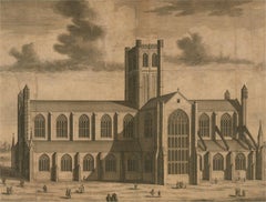
James Green (1729-1759) - 1773 Engraving, A General View of the City of Oxford
View Similar Items


Want more images or videos?
Request additional images or videos from the seller
1 of 8
James GreenJames Green (1729-1759) - 1773 Engraving, A General View of the City of Oxford1773
1773
About the Item
- Creator:James Green
- Creation Year:1773
- Dimensions:Height: 16.23 in (41.2 cm)Width: 22.25 in (56.5 cm)
- Medium:
- Period:
- Condition:There is some discolouration and some surface marks and creases to the substrate. There is a closed tear at the centre of the right edge measuring 1.4cm. There are some scuffs and chips at the corners of the frame.
- Gallery Location:Corsham, GB
- Reference Number:Seller: qw8511stDibs: LU88139172172
About the Seller
4.9
Platinum Seller
These expertly vetted sellers are 1stDibs' most experienced sellers and are rated highest by our customers.
Established in 2010
1stDibs seller since 2018
838 sales on 1stDibs
Typical response time: 6 hours
More From This SellerView All
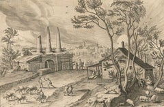
- P Galle after Hendrick van Cleve - 1585 Engraving, Sepulcrum trium HoratiorumLocated in Corsham, GBPhilips Galle after Hendrick van Cleve III An extremely fine Dutch engraving on laid paper. Italian landscape with probably the ruin of the cemetery o...Category
18th Century Landscape Prints
MaterialsEngraving
- Johannes 'Jan' Kip (c.1652-1722) - Engraving, The Cathedral Church of BathBy Johannes 'Jan' KipLocated in Corsham, GBA fine 18th-century view of Bath Abbey, engraved by Johannes 'Jan' Kip (c.1652-1722) for one of the most important English topographical publications of the 18th century, 'Britannia ...Category
18th Century Landscape Prints
MaterialsEngraving
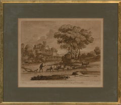
- Richard Earlom after Claude Lorrain - 1775 Mezzotint, Driving CattleLocated in Corsham, GBA fine and striking sepia mezzotint engraved by Richard Earlom (1743-1822) after the original drawing by Claude Lorrain (1600-1682). Earlom was an accomplished engraver and has used ...Category
18th Century Landscape Prints
MaterialsMezzotint
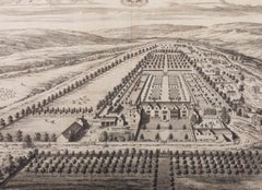
- Johannes 'Jan' Kip (c.1652-1722) - 1712 Engraving, MaugersburyBy Johannes 'Jan' KipLocated in Corsham, GBA topographical engraving of Maugersbury in Gloucestershire by Johannes 'Jan' Kip (c.1652-1722). From 'The Ancient and Present State of Gloucestershire 'by Sir Robert Atkyns, publish...Category
18th Century Landscape Prints
MaterialsEngraving
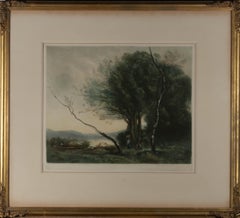
- Henry Scott Bridgwater after J. B. Corot - Early 20thC Mezzotint, River ForagingLocated in Corsham, GBA fine impressionistic mezzotint landscape showing two figures foraging on the banks of a rover with their boat nearby. The mezzotint is after the original painting by the French art...Category
20th Century Landscape Prints
MaterialsMezzotint
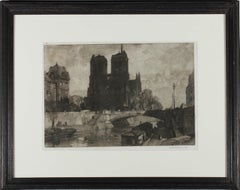
- Leonard R. Squirrel (1893–1979) - Early 20th Century Mezzotint, Notre DameLocated in Corsham, GBThis charming mezzotint depicts the façade of Notre Dame in Paris. Signed in graphite below the plate lines. On paper.Category
Early 20th Century Landscape Prints
MaterialsMezzotint
You May Also Like
- L'Isle de France: A Hand-colored 17th Century Map by De WitBy Frederick de WitLocated in Alamo, CAThis colorful and detailed 17th century hand-colored copperplate map by Frederick De Wit was published in Amsterdam between 1666 and 1760. The map depicts the Île-de-France, which is one of the ancient provinces of France. Paris is located in the center of the map, with Versailles to the southwest The map extends from Rouen in the west to Reims in the east. The area around Paris, the Véxin Français, was the original domain of the king of France. Other areas were ruled by French feudal lords. For example, the Véxin Normand area was the domain of the Duke of Normandy...Category
Early 18th Century Old Masters More Prints
MaterialsEngraving
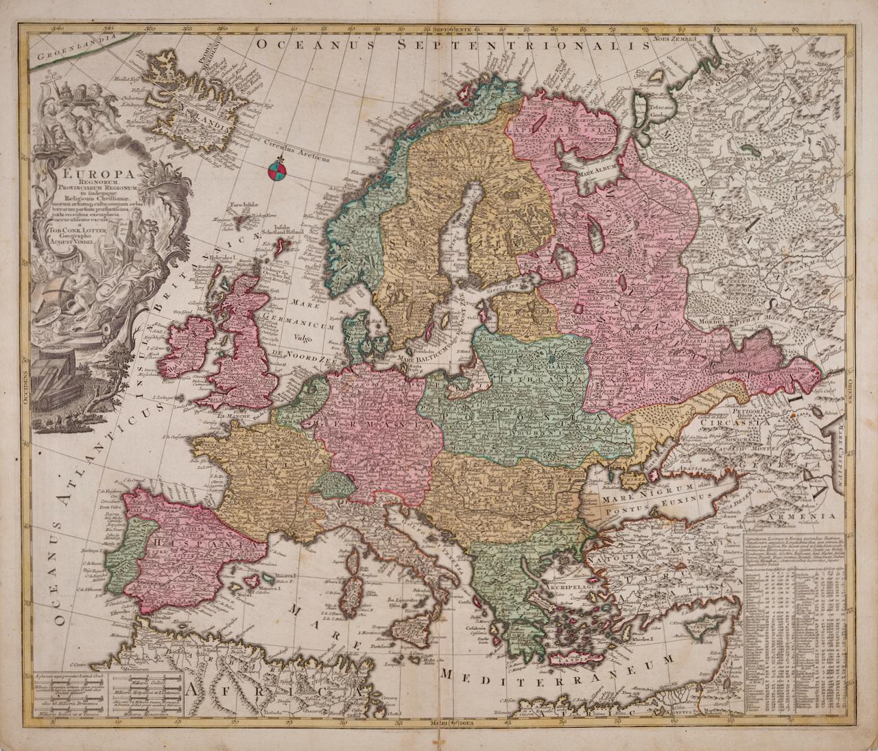
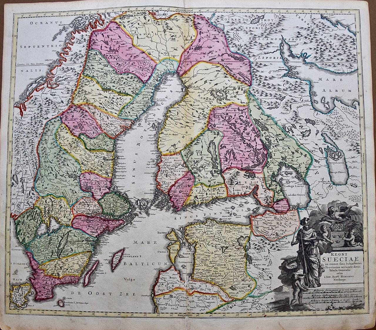
- Europa Regnorum Provinciarum: 18th Century Hand-colored Map of Europe by LotterBy Tobias Conrad LotterLocated in Alamo, CAThis is an 18th century hand-colored copperplate engraved map entitled "Europa Regnorum Provinciarum Regionum" created by the German cartographer Tobias Conrad Lotter. It was publish...Category
Mid-18th Century Landscape Prints
MaterialsEngraving
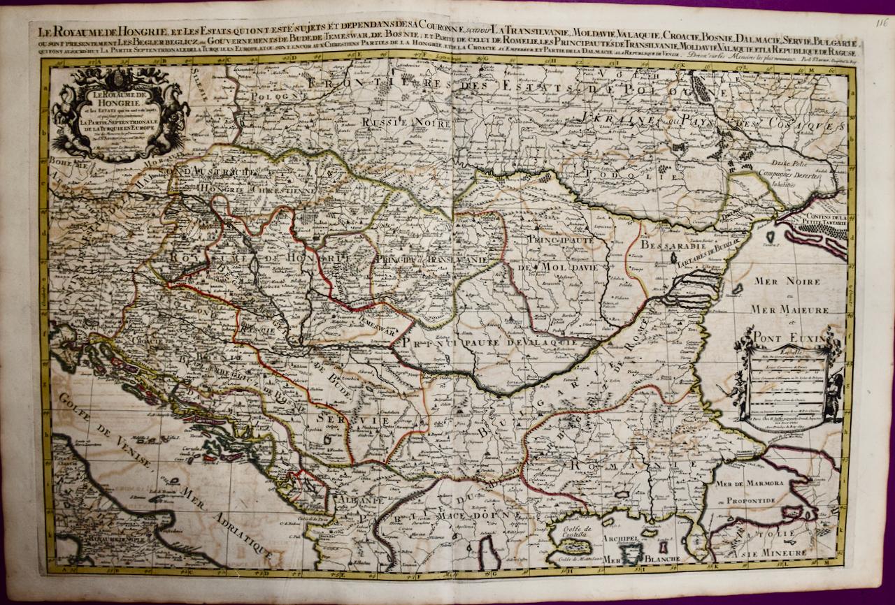
- Hungary & Eastern Europe: A Large 17th C. Hand-colored Map by Sanson & JaillotBy Nicholas Sanson d'AbbevilleLocated in Alamo, CAThis large hand-colored map entitled "Le Royaume De Hongrie et les Estats qui en ont este sujets et qui font presentement La Partie Septentrionale de la Turquie en Europe" was origin...Category
1690s Landscape Prints
MaterialsEngraving
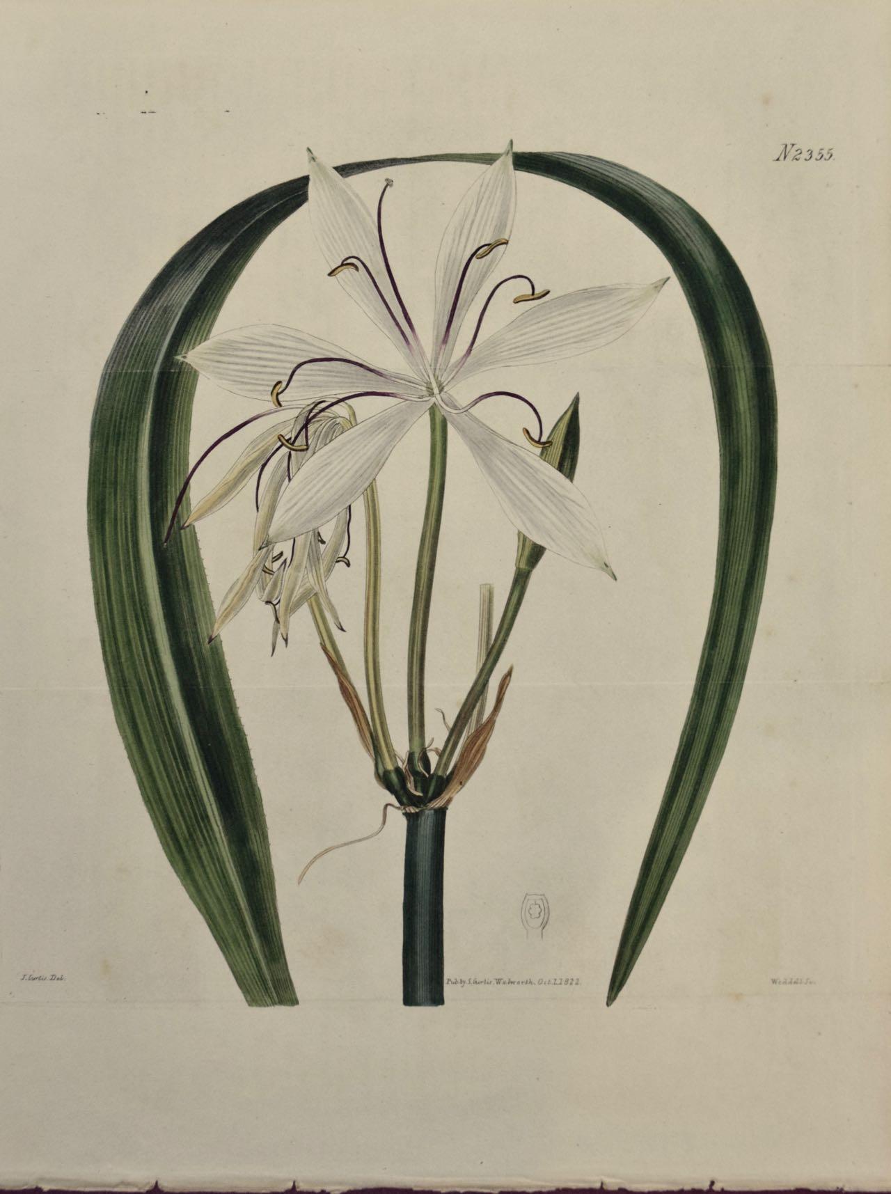
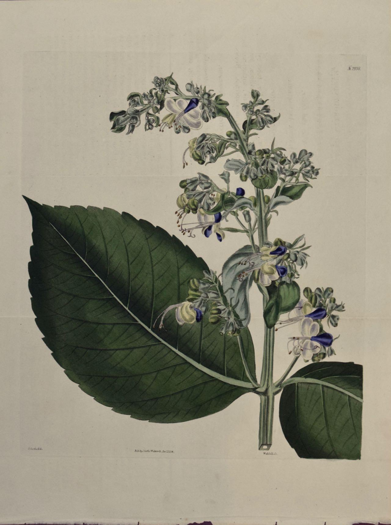
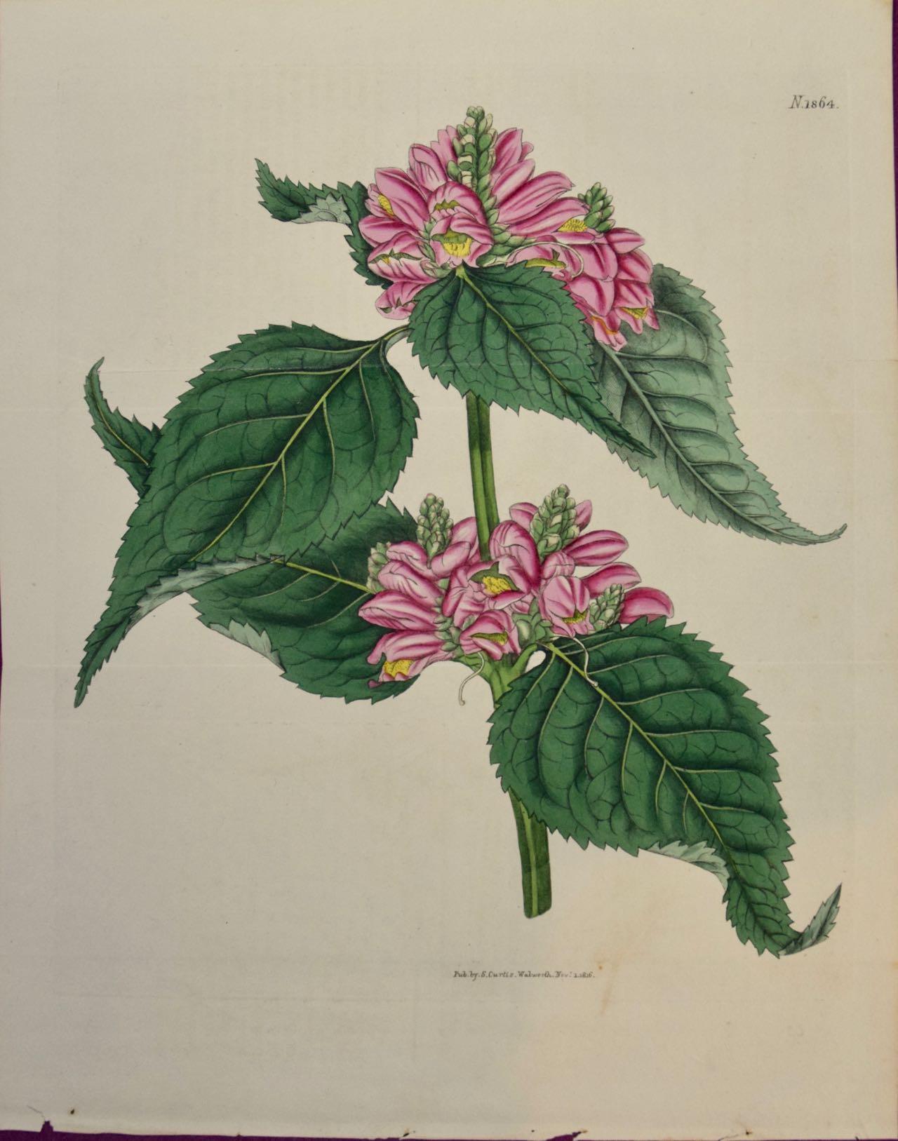
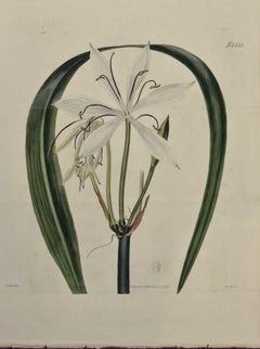
- Flowering Crinum Plant: A 19th C. Hand-colored Botanical Engraving by CurtisBy William CurtisLocated in Alamo, CAThis early 19th century hand-colored double fold-out botanical engraving is entitled "Crinum Arenarium" (Water-Island Sand Crinum), plate 2355, published in London in 1822 in William...Category
1820s Naturalistic Still-life Prints
MaterialsEngraving
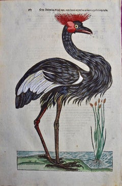
- Crowned Heron Bird: A 16th/17th Century Hand-colored Engraving by AldrovandiBy Ulisse AldrovandiLocated in Alamo, CAThis very rare, first edition, folio hand-colored engraving of a Crowned Heron bird is plate 362 from Ulisse Aldrovandi’s 'Opera Omnia', published be...Category
Early 17th Century Naturalistic Animal Prints
MaterialsEngraving
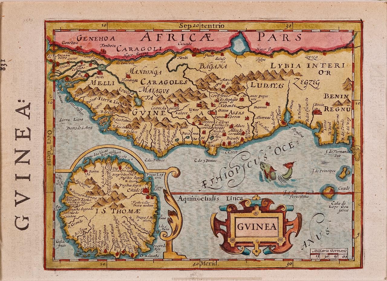
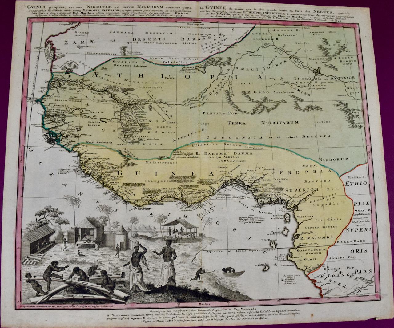
- West Africa: A 17th Century Hand-Colored Map by Mercator/HondiusBy Gerard MercatorLocated in Alamo, CAA 17th century hand-colored map entitled "Guineae Nova Descriptio" by Gerard Mercator and Jodocus Hondius, published in their 'Atlas Minor' in Amsterdam in 1635. It is focused on the...Category
1630s Landscape Prints
MaterialsEngraving


Recently Viewed
View AllMore Ways To Browse
Wooden Horse Carving
Wooden Horse 18th
Cow Engraving
Theodore Hancock
Lucien Seevagen On Sale
Travel Poster Lourdes
Woodblock Falcon
Wilhelm Van De Velde The Younger
Tiffany Nova
Stickley Book
Poster Combloux
Peter Max Balboa
Paulette Michael
Percy John Delf Smith, R.D.I. On Sale
Slava Brodinsky
William Williams Jesus College
Vintage Thrasher Poster
Vintage Hart Skis