Sea chart of Gulf of Saint Laurence and Belle Isle - Engraving - 18th century
View Similar Items


1 of 8
Jacques Nicolas BellinSea chart of Gulf of Saint Laurence and Belle Isle - Engraving - 18th century1753
1753
About the Item
- Creator:Jacques Nicolas Bellin (1703 - 1772)
- Creation Year:1753
- Dimensions:Height: 35.44 in (90 cm)Width: 23.63 in (60 cm)
- Medium:
- Movement & Style:
- Period:1750-1759
- Condition:Very good, given age. Hand colouring of a later date. Original middle fold as issued. Slight paper separation at middle fold margins, reinforced and backed. A few small tears in paper edges, backed. Please study scan carefully.
- Gallery Location:Zeeland, NL
- Reference Number:Seller: 629431stDibs: LU59235022592
You May Also Like
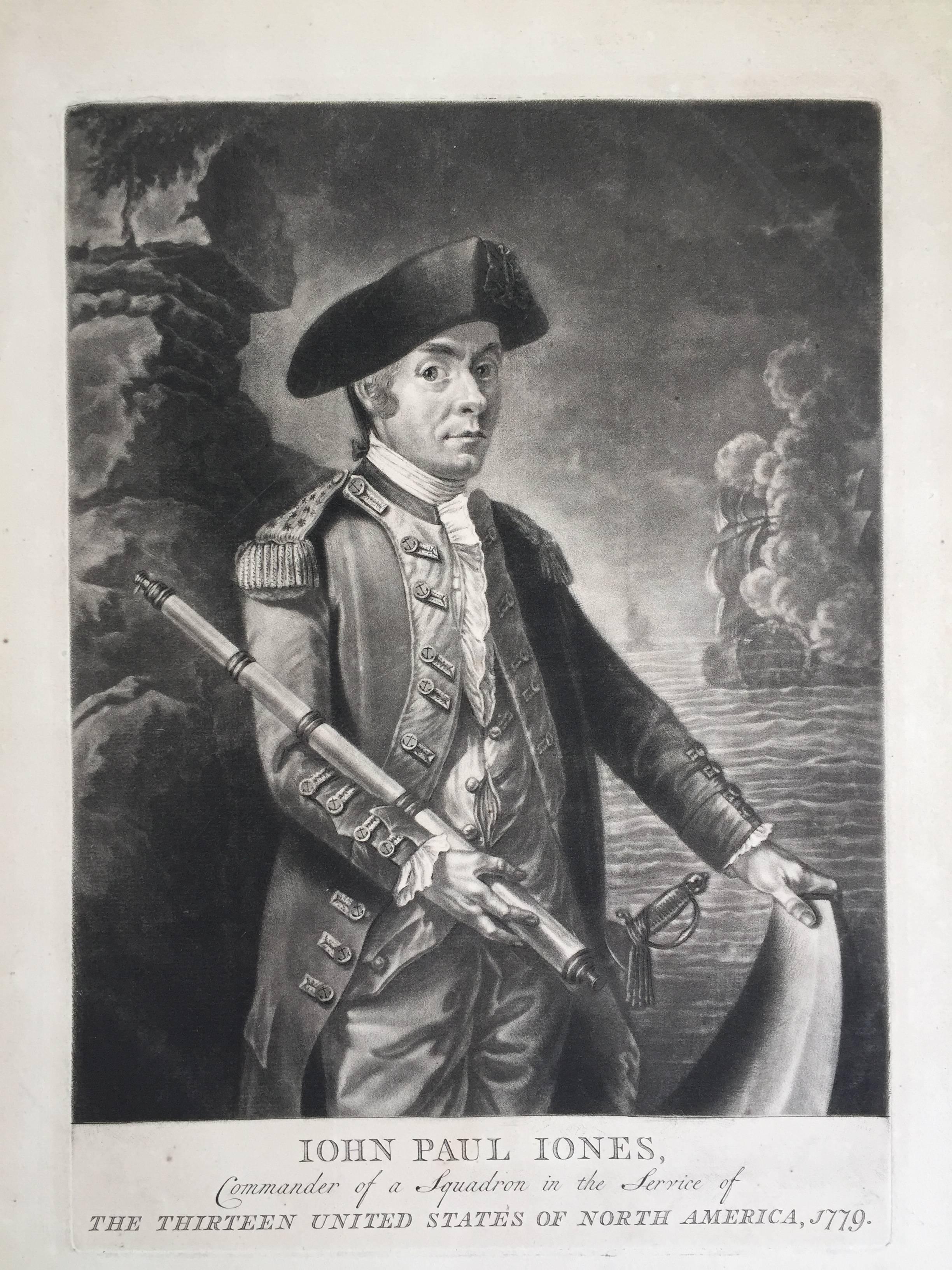
- John Paul Jones Commander of a Squadron - 13 Colonies United States...Located in Santa Monica, CAAMERICAN REVOLUTION - (Attributed to Richard Brookshaw) JOHN PAUL JONES Commander of a Squadron in the Service of THE THIRTEEN UNITED STATES OF NORTH AMERICA, 1779 (Creswell LC1...Category
1770s Old Masters More Prints
MaterialsMezzotint
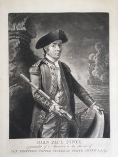 $4,250 Sale Price32% Off
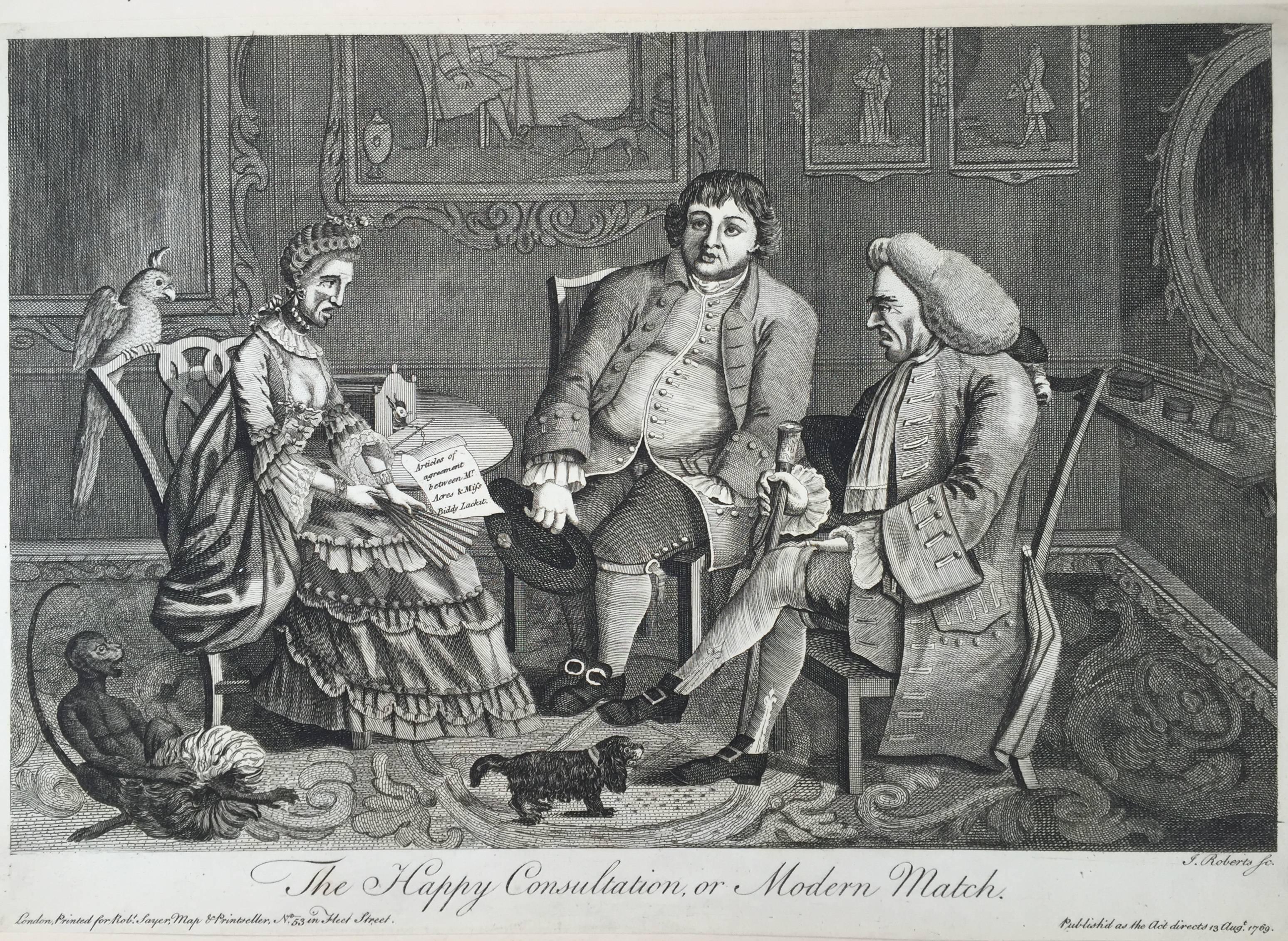
 - The Happy Consultation, or Modern MatchLocated in Santa Monica, CAEIGHTEENTH CENTURY BRITISH CARICATURE THE HAPPY CONSULTATION, or MODERN MATCH, 1769 (DG 4335) ...Category
1760s Old Masters More Prints
MaterialsEngraving
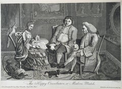 $325 Sale Price56% Off
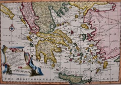
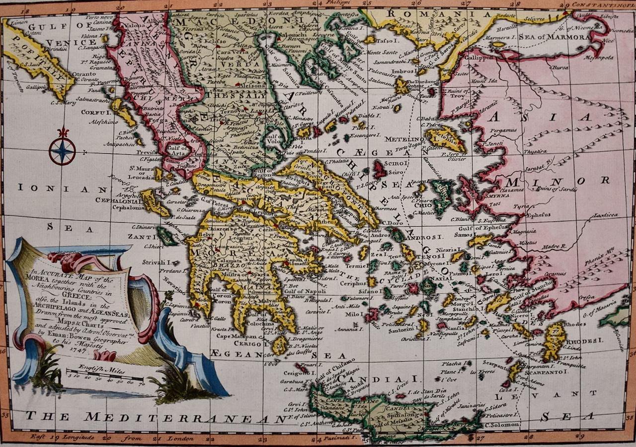
 - Mainland Greece & Islands: An Original 18th Century Hand-colored Map by BowenLocated in Alamo, CAThis is an original 18th century hand-colored map entitled "An Accurate Map of the Morea Together with the Neighboring Countries in Greece; also the Islands in the Archipelago and Ae...Category
Mid-18th Century Old Masters Landscape Prints
MaterialsEngraving
- Ireland: A Framed 17th Century Hand-colored Map by Jan JannsonBy Johannes JanssoniusLocated in Alamo, CAThis is a 17th century hand-colored map entitled "Hibernia Regnum Vulgo Ireland" by Johannes Janssonius's (Jan Jansson), published in Amsterdam in 1640. This highly detailed map depicts the Emerald Isle with an extensive display of towns, roads, mountains, rivers, lakes and county borders, etc. It includes two decorative cartouches on the left. The title cartouche includes the Irish harp and the second, in the upper left, includes a lion wearing a crown on the left, a unicorn on the right and a coat-of-arms in the middle, which includes another Irish harp. A distance scale is seen in the lower right, augmented with two putti. The map is embellished with three sailing ships and a sea monster. Western portions of Scotland and England...Category
Mid-17th Century Old Masters Landscape Prints
MaterialsEngraving
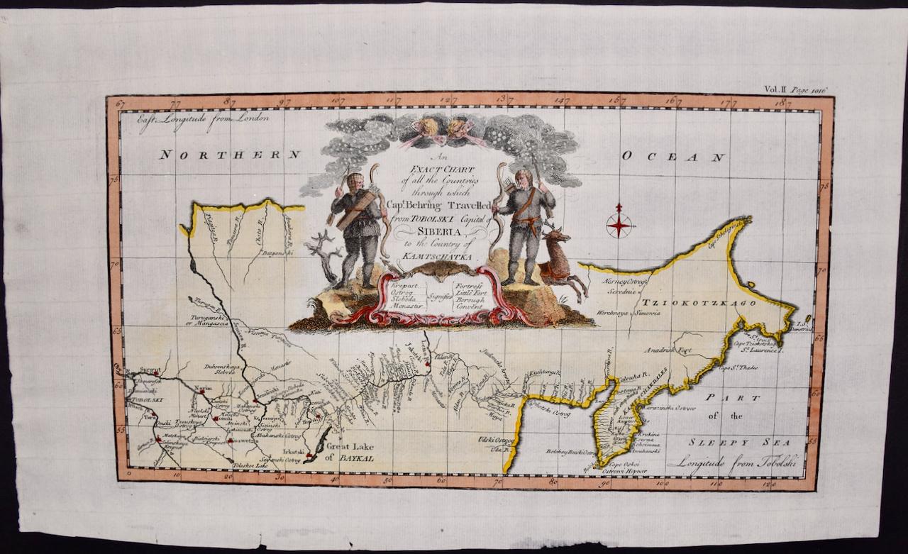
- Siberia as Explored by Behring: Original 18th Century Hand-colored Map by BowenLocated in Alamo, CAThis is an original 18th century hand-colored map entitled "An Exact Chart of all the Countries through which Capt. Behring Travelled from Tobolski, Capital of Siberia to the Country...Category
Mid-18th Century Old Masters Landscape Prints
MaterialsEngraving
- China: An Original 18th Century Hand-colored Map by E. BowenLocated in Alamo, CAThis is an original 18th century hand-colored map entitled "A New & Accurate Map of China, Drawn from Surveys made by the Jesuit Missionaries, by order of the Emperor. The whole bein...Category
Mid-18th Century Old Masters Landscape Prints
MaterialsEngraving