Antique Map New South Wales
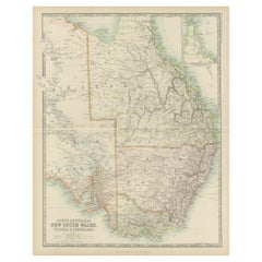
Antique Map of New South Wales by Johnston, '1909'
Located in Langweer, NL
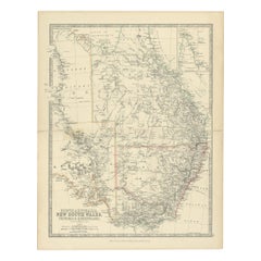
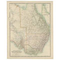
Antique map titled 'South Australia, New South Wales, Victoria and Queensland'. Original antique
Category
Early 20th Century Antique Map New South Wales
Materials
Paper
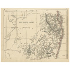
Antique Map of New South Wales by Lowry, '1852'
Located in Langweer, NL
Antique map titled 'New South Wales north'. Original map of New South Wales, Australia. This map
Category
Mid-19th Century Antique Map New South Wales
Materials
Paper
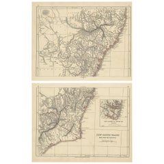
Antique Map of New South Wales by Lowry, 1852
Located in Langweer, NL
Antique map titled 'New South Wales and part of Victoria'. Two individual sheets of New South Wales
Category
Mid-19th Century Antique Map New South Wales
Materials
Paper
Antique Map of New South Wales 'Australia' by Wyld '1845'
Located in Langweer, NL
Antique map titled 'British Settlements in New South Wales'. Original antique map of New South
Category
Mid-19th Century Antique Map New South Wales
Materials
Paper
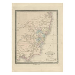
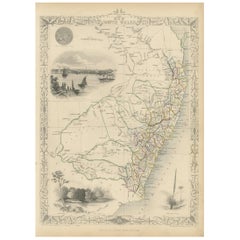
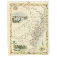
Antique Map of New South Wales by Tallis, circa 1851
Located in Langweer, NL
Antique map titled 'New South Wales'. Decorative and detailed map of New South Wales which was
Category
Mid-19th Century Antique Map New South Wales
Materials
Paper
Antique Map of South Australia, Victoria, Queensland and New South Wales, c.1860
Located in Langweer, NL
Antique map Australia titled 'South Australia, New South Wales, Victoria & Queensland'. Old map
Category
19th Century Antique Map New South Wales
Materials
Paper
H 18.71 in W 14.57 in D 0 in
Antique Map of New South Wales in Australia, ca. 1850
Located in Langweer, NL
Antique map of Victoria, or Port Phillip (12.7 x 10.0") in Australia. Superb map of Victoria
Category
Mid-19th Century European Antique Map New South Wales
Materials
Paper
Large Original Vintage Map of New South Wales, Australia, circa 1920
Located in St Annes, Lancashire
Great map of New South Wales
Original color.
Good condition
Published by Alexander Gross
Category
1920s English Edwardian Antique Map New South Wales
Materials
Paper
No Reserve
H 25 in W 19.5 in D 0.07 in
Antique Detailed Map of New South Wales, Queensland & Victoria, Australia, 1865
Located in Langweer, NL
Antique map Australia titled 'South Australia, New South Wales, Victoria & Queensland'. Old map
Category
19th Century Antique Map New South Wales
Materials
Paper
H 24.41 in W 19.49 in D 0 in
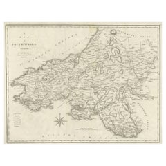
Large Antique County Map of South Wales, England
Located in Langweer, NL
Antique map titled 'A Map of South Wales from the best Authorities'. Original old county map of
Category
Early 19th Century Antique Map New South Wales
Materials
Paper
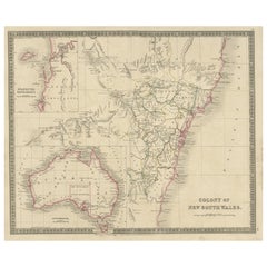
Antique Map of New South Wales with Inset Maps of Australia and Swan River, 1854
Located in Langweer, NL
Antique map titled 'Colony of New South Wales'. Map of New South Wales with inset maps of Australia
Category
19th Century Antique Map New South Wales
Materials
Paper
H 18.31 in W 14.57 in D 0 in
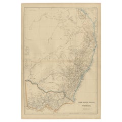
Antique Map of New South Wales and Victoria by W. G. Blackie, 1859
Located in Langweer, NL
Antique map titled 'New South Wales and Victoria'. Original antique map of New South Wales and
Category
Mid-19th Century Antique Map New South Wales
Materials
Paper
Antique Map of New South Wales with an Inset of Sydney, Australia, 1833
Located in Langweer, NL
Antique map of Australia titled 'New South Wales'. Old map of New South Wales, Australia. With an
Category
19th Century Antique Map New South Wales
Materials
Paper
Antique Map of Endeavour River and Botany Bay, New South Wales, Australia, 1803
Located in Langweer, NL
in Nieuw Zuid Wales'. Antique map of the Endeavour river and a map of Botany Bay, New South Wales
Category
19th Century Antique Map New South Wales
Materials
Paper
H 9.65 in W 19.49 in D 0 in
Antique Map of South Australia by Johnston, 1882
By Thomas Kitchin
Located in Langweer, NL
Antique map titled 'South Australia, New South Wales, Victoria & Queensland'. Old map of Southern
Category
19th Century Antique Map New South Wales
Materials
Paper
Antique Map of South Australia by A.K. Johnston, 1865
Located in Langweer, NL
Antique map titled 'South Australia, New South Wales, Victoria & Queensland'. This map originates
Category
Mid-19th Century Antique Map New South Wales
Materials
Paper
Old Map of Southern Australia, with an Inset Map of Cape York Peninsula, 1882
Located in Langweer, NL
Antique map titled 'South Australia, New South Wales, Victoria & Queensland'.
Old map of
Category
1880s Antique Map New South Wales
Materials
Paper
H 24.22 in W 19.53 in D 0 in
Detailed German Map of Australia Including Statistics of 1841, Published in 1854
Located in Langweer, NL
Australia, showcasing the division of colonies, which include New South Wales, West Australia, and Van
Category
1850s Antique Map New South Wales
Materials
Paper
Free Shipping
H 14.06 in W 17.52 in D 0 in
French Antique Map of Oceania with Details of the Australian Colonies, c.1840
Located in Langweer, NL
Antique map Oceania titled 'Océanie par C.V. Monin'. Old map of Oceania with an inset of New South
Category
19th Century Antique Map New South Wales
Materials
Paper
H 13 in W 17.52 in D 0 in
Early Map of Sydney with Botany Bay, Port Jackson & Broken Bay, Australia, 1802
Located in Langweer, NL
colony in New South Wales' by David Collins.
Artists and Engravers: Published by Cadell & Davies
Category
Early 1800s Antique Map New South Wales
Materials
Paper
H 10.24 in W 12.01 in D 0 in
Old Map of Cook's Discovery and Charting of the East Coast of Australia, 1803
Located in Langweer, NL
England and named it New South Wales. Cook's ship Endeavour was damaged when it ran aground on one of the
Category
Early 1800s Antique Map New South Wales
Materials
Paper
H 15.36 in W 31.3 in D 0 in
New South Wales, Australia, antique mid 19th century engraved John Tallis map
Located in Melbourne, Victoria
'New South Wales'
With decorative border surrounds and vignettes of 'Sydney Cove'. 'The Murray
Category
1840s Victorian Antique Map New South Wales
Materials
Engraving
H 14.77 in W 10.63 in
Map of the World: An Original 18th Century Hand-colored Map by E. Bowen
Located in Alamo, CA
This is an original 18th century hand-colored map entitled "A New & Correct Chart of All The Known
Category
Mid-18th Century Old Masters Antique Map New South Wales
Materials
Engraving
Map of the Russian Empire: An Original 18th Century Hand-colored Map by E. Bowen
Located in Alamo, CA
This is an original 18th century hand-colored map entitled "A New & Accurate Map of The Whole
Category
Mid-18th Century Old Masters Antique Map New South Wales
Materials
Engraving
Map of the East Indies: An Original 18th Century Hand-colored Map by E. Bowen
Located in Alamo, CA
This is an original 18th century hand-colored map entitled "An Accurate Map of the East Indies
Category
Mid-18th Century Old Masters Antique Map New South Wales
Materials
Engraving
Antique Paterson's Guide to Britain, English, Maps, Georgian, Published 1811
Located in Hele, Devon, GB
fold-out maps include detailed renditions of the English South Coast and Lake District
This is a
Category
Early 19th Century British Georgian Antique Map New South Wales
Materials
Paper
H 7.49 in W 4.73 in D 1.58 in
Europe: An Original 18th Century Hand-colored Map by E. Bowen
Located in Alamo, CA
This is an original 18th century hand-colored map entitled "A New & Accurate Map of Europe Drawn
Category
Mid-18th Century Old Masters Antique Map New South Wales
Materials
Engraving
China: An Original 18th Century Hand-colored Map by E. Bowen
Located in Alamo, CA
This is an original 18th century hand-colored map entitled "A New & Accurate Map of China, Drawn
Category
Mid-18th Century Old Masters Antique Map New South Wales
Materials
Engraving
H 15.75 in W 19.75 in
A truly delightful miniature terrestrial pocket globe
By Nathaniel Mills
Located in ZWIJNDRECHT, NL
Britain, Hudson’s Bay, Lake Superior, New South Wales (!), Hurons, the Laurence River.
South America
Category
Mid-18th Century British Dutch Colonial Antique Map New South Wales
Materials
Other
Recent Sales
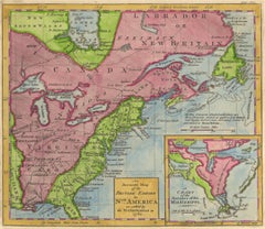
1762 Map of North America
By Thomas Kitchin
Located in New York, NY
. Beautifully hand-colored and with interesting topographical and historical details, including "New South Wales
Category
1760s Realist Antique Map New South Wales
Materials
Engraving
Map of Australia by J. Bartholomew
Located in New York, NY
, South Australia, Queensland, and New South Wales. Includes keys to individual counties, coastal towns
Category
19th Century Antique Map New South Wales
Materials
Lithograph
Map of Endeavour river and Botany Bay - Etching / engraving - 18th Century
Located in Zeeland, Noord-Brabant
Baai in Nieuw Zuid Wales' - (Map / Chart of the Endeavour river and a map of Botany Bay, New South
Category
1790s Contemporary Antique Map New South Wales
Materials
Engraving
H 7.49 in W 15.36 in
Map of Cooks Strait by C. van Baarsel - Etching / engraving - 18th Century
Located in Zeeland, Noord-Brabant
cm' - (Map / Chart of Cooks Strait in New Zealand.) It seperates the north and south island of New
Category
1790s Contemporary Antique Map New South Wales
Materials
Engraving
Antique Map of New South Wales Inset Maps of Australia and Swan River, 1831
Located in Langweer, NL
Antique map titled 'Colony of New South Wales'. Map of New South Wales with inset maps of Australia
Category
19th Century Antique Map New South Wales
Materials
Paper
Free Shipping
H 17.92 in W 14.18 in D 0 in
Oil Painting Portrait of Lord Edward Grenfell, 1st Baron St Just (1870-1941)
By Oswald Birley
Located in London, GB
New York; and Grenfell with his fellow partners was closely concerned with the great task of
Category
Early 20th Century Victorian Antique Map New South Wales
Materials
Oil
Large Original Antique Map of New South Wales, Australia, 1861
Located in St Annes, Lancashire
Great map of New South Wales
Drawn and engraved by Edward Weller
Original color outline
Category
1860s English Victorian Antique Map New South Wales
Materials
Paper
1 bid
No Reserve
H 19 in W 13 in D 0.07 in
Large Original Antique Map of New South Wales, Australia by Sidney Hall, 1847
Located in St Annes, Lancashire
Great map of New South Wales
Drawn and engraved by Sidney Hall
Steel engraving
Original
Category
1840s Scottish Antique Map New South Wales
Materials
Paper
1 bid
No Reserve
H 12.25 in W 17.25 in D 0.07 in
The Atlantic Ocean, Americas, Africa and Europe: Hand-colored 18th C. Bowen Map
Located in Alamo, CA
This is an original 18th century hand-colored map entitled "A New & Accurate Chart of the The
Category
Mid-18th Century Old Masters Antique Map New South Wales
Materials
Engraving
Antique Chart of The East Coast of Australia by Cook, C.1770
Located in Langweer, NL
Antique map titled 'Chart of Part of the Coast of New South Wales from Cape Tribulation to
Category
18th Century Antique Map New South Wales
Materials
Paper
1762 Map of North America
By Thomas Kitchin
Located in New York, NY
. Beautifully hand-colored and with interesting topographical and historical details, including "New South Wales
Category
1760s Realist Antique Map New South Wales
Materials
Engraving
Get Updated with New Arrivals
Save "Antique Map New South Wales", and we’ll notify you when there are new listings in this category.
Antique Map New South Wales For Sale on 1stDibs
At 1stDibs, there are several options of antique map new south wales available for sale. Frequently made of paper, all antique map new south wales available were constructed with great care. Antique map new south wales have long been popular, with older editions for sale from the 19th Century and newer versions made as recently as the 20th Century. There are many kinds of antique map new south wales to choose from, but at 1stDibs, Victorian antique map new south wales are of considerable interest.
How Much are Antique Map New South Wales?
Antique map new south wales can differ in price owing to various characteristics — the average selling price at 1stDibs is $287, while the lowest priced sells for $100 and the highest can go for as much as $1,150.
More Ways To Browse
Antique Maps Hawaii
Antique Maps Of Hawaii
Antique Map Hawaii
Antique Hawaii Maps
Antique Map Of Hawaii
Antique Hawaii Map
Antique Queensland
Australian Blackwood
East Coast Australia Charts
Antique Furniture Queensland
Antique Map Sydney
Antique Maps Sydney
Queensland Maps
Antique Maps Philippines
Antique Maps Caribbean Islands
Antique Sri Lanka Map
Constellation Map
Antique Constellation Map
