Items Similar to Australia Original Vintage Propaganda Poster post WW2 MacDonald Max Gill
Want more images or videos?
Request additional images or videos from the seller
1 of 5
"Leslie MacDonald ""Max"" Gill"Australia Original Vintage Propaganda Poster post WW2 MacDonald Max Gill c.1950
c.1950
About the Item
To see our other original vintage travel and propaganda posters, scroll down to "More from this Seller" and below it click on "See all from this Seller" - or send us a message if you cannot find the poster you want.
Macdonald (Max) Gill (1884-1947)
Australia: Her Natural and Industrial Resources (1950)
His Majesty’s Stationary Office, SO Code NO. 70-538-5-2
Lithographic poster
51 x 76cm (20 x 30 inches)
Born in Brighton, Max Gill was the second son in a family of thirteen children; his elder brother was Eric Gill, the typographer and sculptor. Both Gills exhibited significant talent at a young age. Max Gill’s first map was made for a school map-drawing project following which he entered maps into competitions in boys’ magazines.
In 1903 he moved to London as assistant to the ecclesiastical architects Sir Charles Nicholson and Hubert Corlette. By 1908 he had started his own architectural practice, but in 1909 Sir Edwin Lutyens commissioned Gill to paint a “wind dial” map for Nashdom, a large house in Buckinghamshire. The wind dial was set over the fireplace and attached to a weather vane on the roof, allowing the occupant to know the direction of the wind from the comfort of the house. He produced seven further wind dials including for Lutyens’s Lindisfarne Castle and for the Allhusen Room at Trinity College, Cambridge.
Although he continued to practice as an architect, Frank Pick commissioned him to create seven pictorial maps for the Underground, the first being the famous 1913 ‘Wonderground Map of London Town.’
In 1917 he joined the Imperial War Graves Commission’s headstone design committee, designing the typeface and regimental badges. Gill’s memorials for the fallen in the First World War include for Balliol and Worcester Colleges and Christ Church in Oxford.
During the 1920s and 30s Gill undertook many commercial commissions for advertising materials. The Empire Marketing Board and Shell-Mex as well as further maps for the Underground. He designed in 1922 the first diagrammatic map of the Underground which provided the foundation for Beck’s more famous map.
By the 1930s his major works were murals. Those of the Arctic and Antarctic on the ceilings of the Scott Polar Research Institute in Cambridge are beautiful, but the most impressive is the map of the North Atlantic in the first-class dining room of the Queen Mary (maiden voyage: 1936, now moored at Long Beach, California).
During the Second World War he created a series of propaganda posters for the Ministry of Information; this map is from that series.
- Creator:
- Creation Year:c.1950
- Dimensions:Height: 20.08 in (51 cm)Width: 29.93 in (76 cm)
- Medium:
- Movement & Style:
- Period:
- Condition:Generally very good, the odd spot to margins.
- Gallery Location:London, GB
- Reference Number:1stDibs: LU79537379562
About the Seller
4.8
Gold Seller
These expertly vetted sellers are highly rated and consistently exceed customer expectations.
Established in 2014
1stDibs seller since 2017
282 sales on 1stDibs
Typical response time: <1 hour
- ShippingRetrieving quote...Ships From: London, United Kingdom
- Return PolicyA return for this item may be initiated within 14 days of delivery.
More From This SellerView All
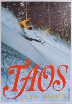
- Taos New Mexico USA Vintage Ski Poster 1974 Victor Frohlich and Tom CarreraLocated in London, GBTo see our other original vintage posters, scroll down to "More from this Seller" and below it click on "See all from this Seller." Taos New Mexico Vintage...Category
1970s Modern Landscape Prints
MaterialsLithograph
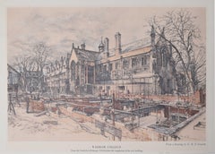
- Wadham College, Oxford 20th century lithograph by R T CowernLocated in London, GBTo see our other views of Oxford and Cambridge, scroll down to "More from this Seller" and below it click on "See all from this Seller" - or send us a message if you cannot find the view you want. G R T (Raymond Teane) Cowern (1913 - 1986) Wadham College...Category
20th Century Modern Landscape Prints
MaterialsLithograph
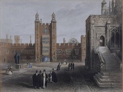
- Eton College Courtyard 19th Century Victorian lithographLocated in London, GBAnonymous (19th century) Eton College Courtyard Lithograph 29 x 38 cm Mounted to board.Category
Late 19th Century Modern Figurative Prints
MaterialsLithograph
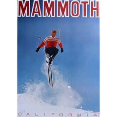
- Mammoth Mountain California Vintage Ski Resort Poster (1967)Located in London, GBMammoth, California Vintage Ski Poster, USA 1967 67 x 53 cm Printed by LooArt Press, Colorado Springs, Colorado Vintage travel poster for Mammoth, California ski resort...Category
1960s Modern Landscape Prints
MaterialsLithograph
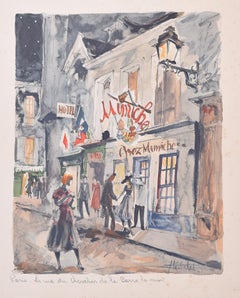
- Franz Herbelot "Paris: La Rue de Chevalier de la Barre la nuit" lithographLocated in London, GBFranz Herbelot (French, active 1940s-1950s) Paris: La Rue de Chevalier de la Barre la nuit Lithograph 28 x 22 cm A fantastic lithograph by Herbelot which brilliantly captures the spirit of mid-century Paris...Category
Mid-20th Century Modern Landscape Prints
MaterialsLithograph
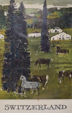
- Switzerland horses by Hugo Wetli original vintage poster Swiss Jura AlpsBy Hugo WetliLocated in London, GBTo see our other original vintage travel posters, many of which are from Switzerland, scroll down to "More from this Seller" and below it click on "See all from this Seller" - or sen...Category
1960s Modern Landscape Prints
MaterialsLithograph
You May Also Like
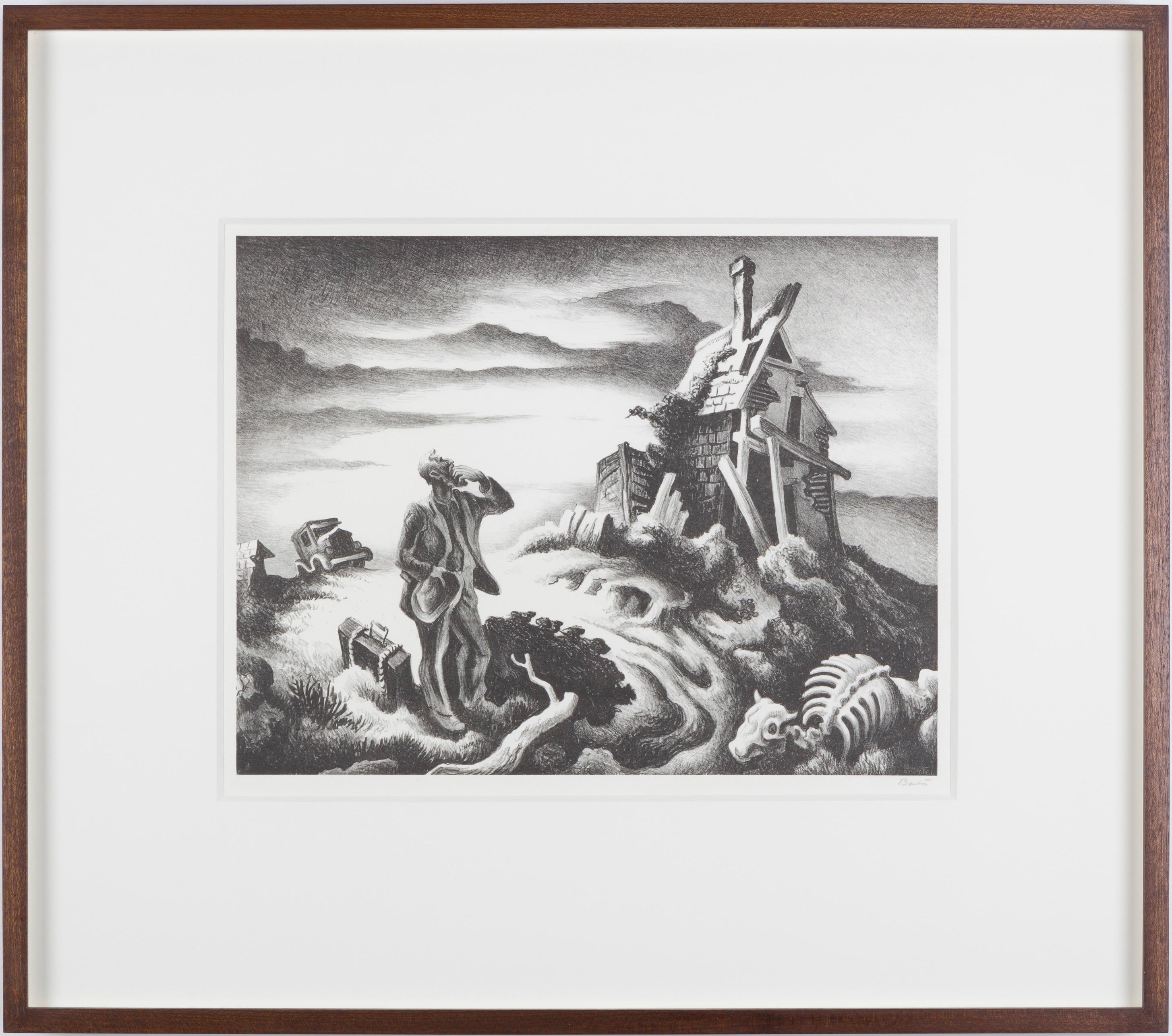
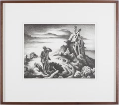
- Prodigal SonBy Thomas Hart BentonLocated in London, GBA fine impression with full margins published by Associated American Artists with their information label present - pictured in Art and Popular Religion in Evangelical America, 1815-...Category
1930s American Modern Landscape Prints
MaterialsLithograph
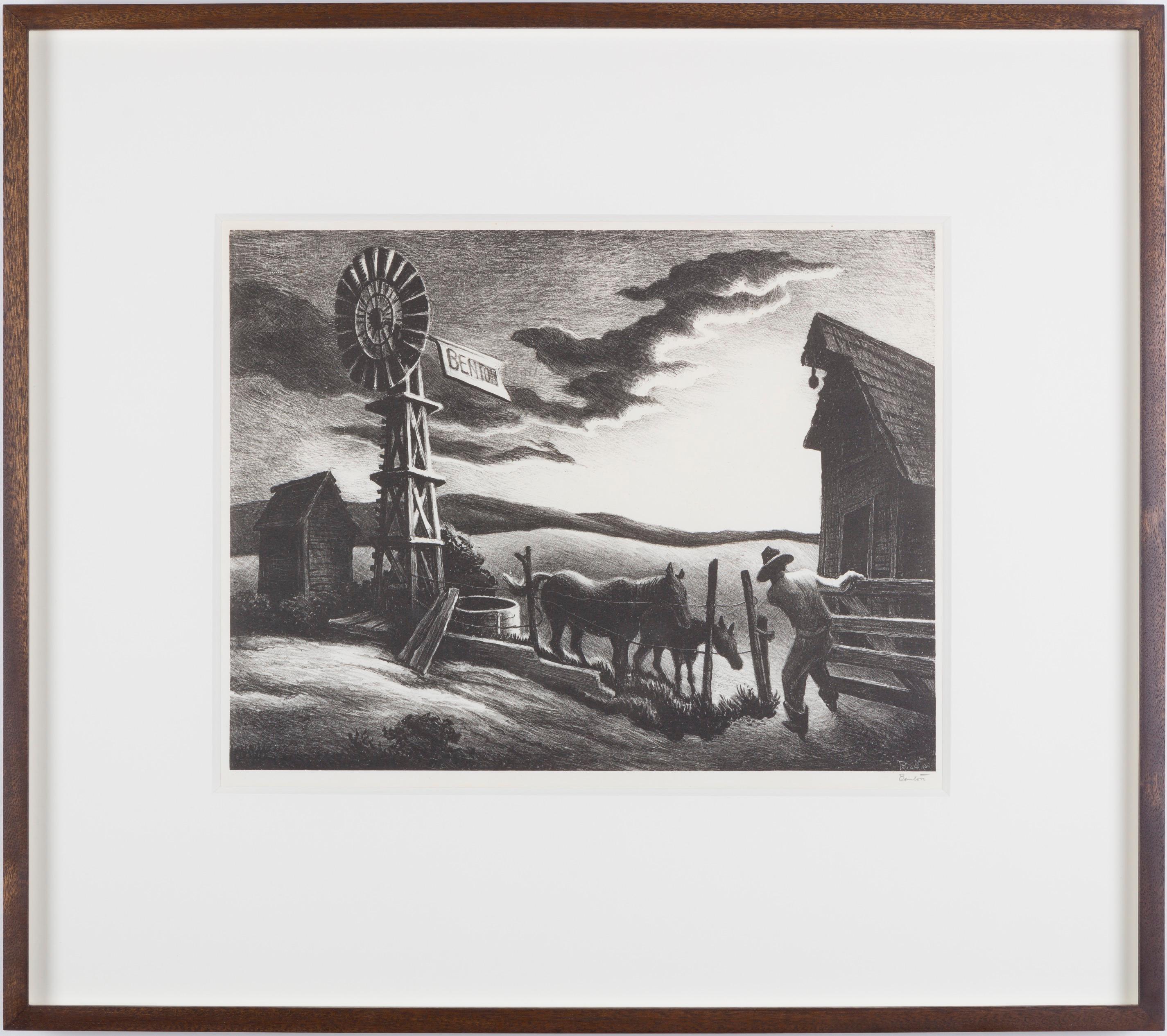
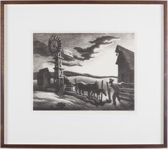
- Nebraska EveningBy Thomas Hart BentonLocated in London, GBA fine impression with good margins published by Associated American Artists.Category
1940s American Modern Landscape Prints
MaterialsLithograph
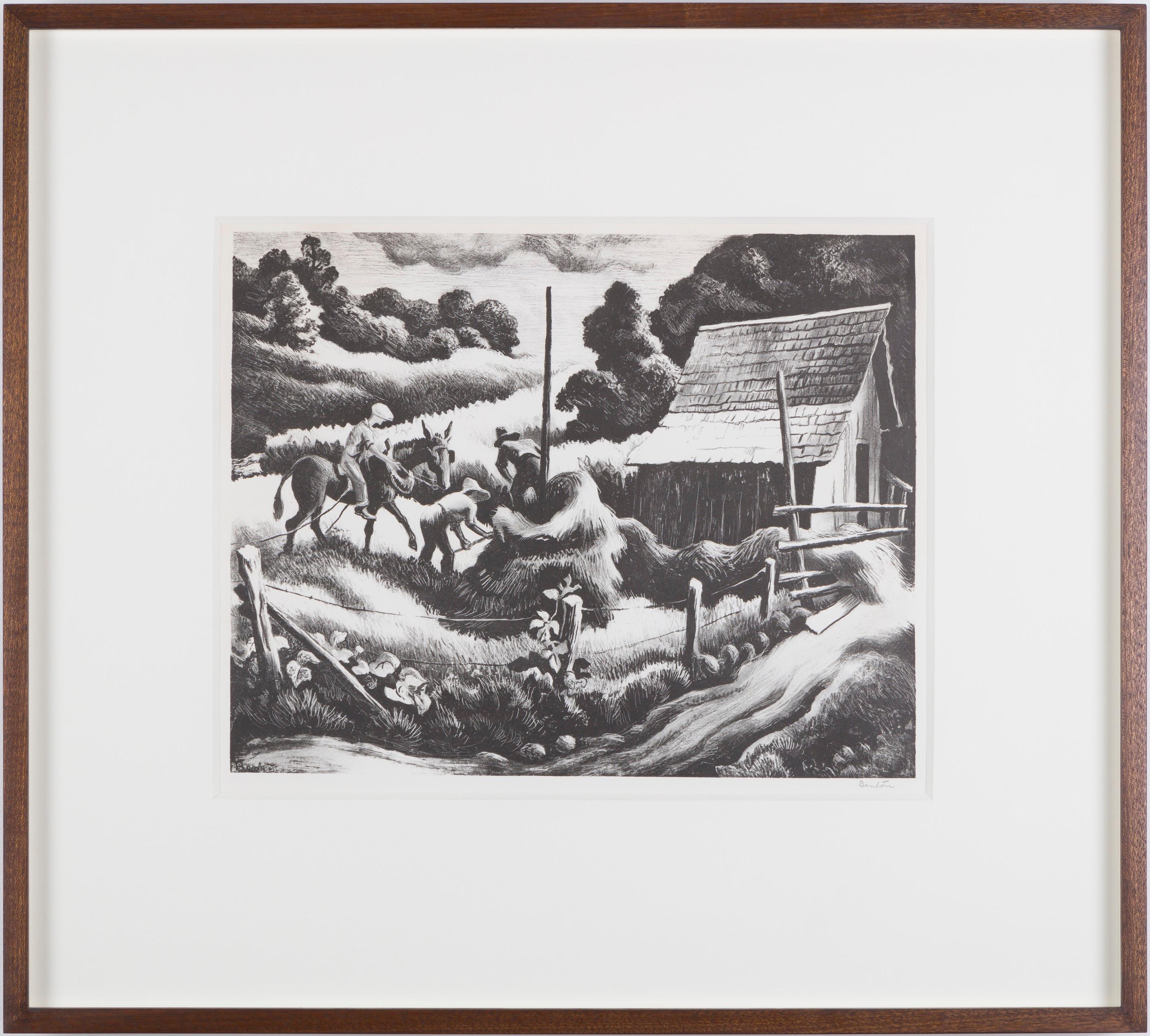
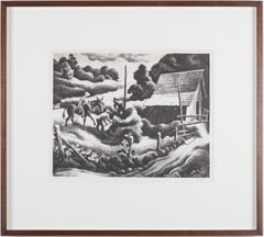
- HaystackBy Thomas Hart BentonLocated in London, GBA fine impression of this very popular image with full margins (smaller on top and bottom) published by Associated American Artists.Category
1930s American Modern Landscape Prints
MaterialsLithograph
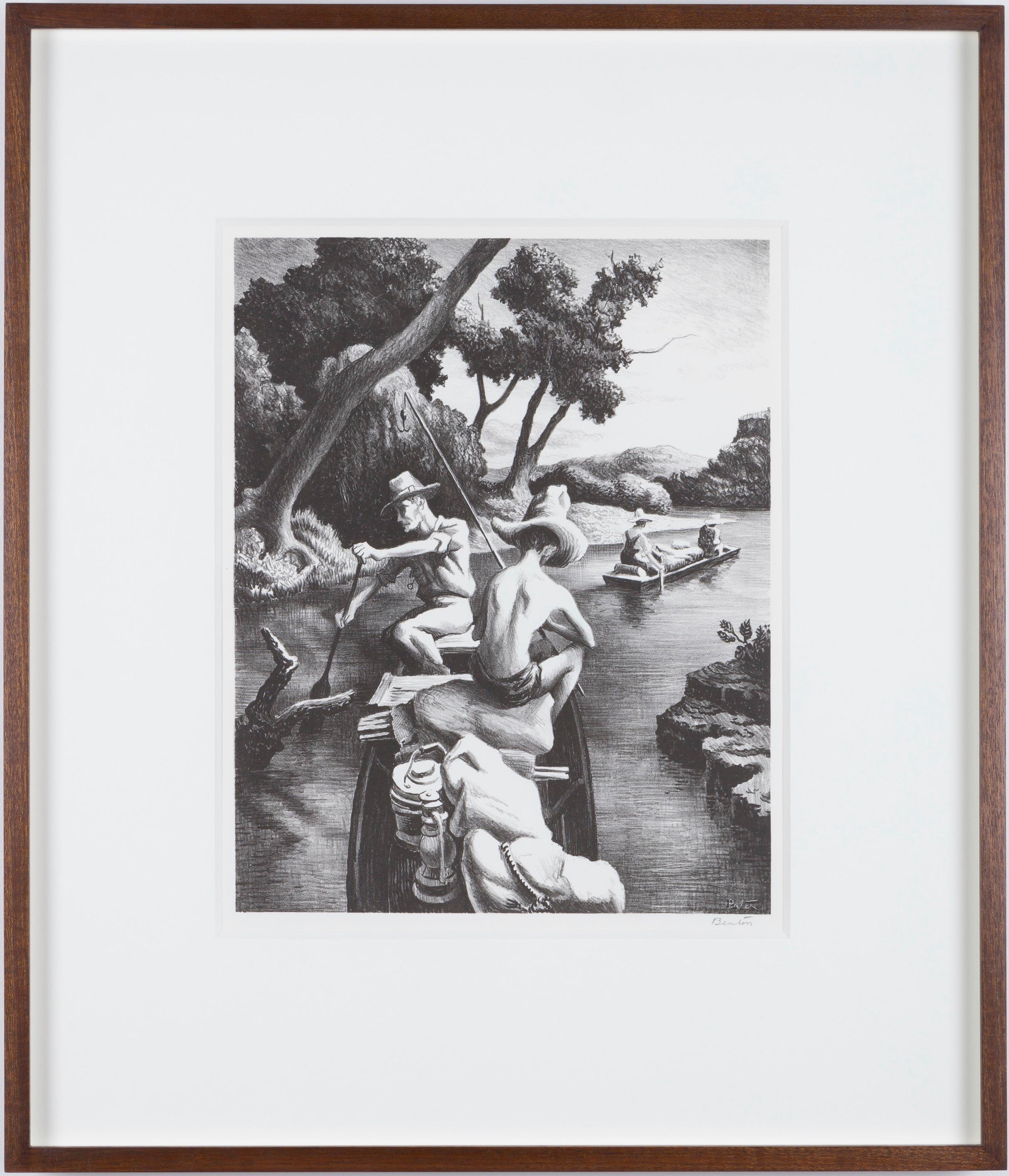
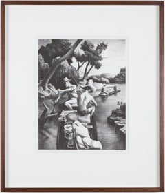
- Down the RiverBy Thomas Hart BentonLocated in London, GBA fine impression of this popular Benton image with good margins.Category
1930s American Modern Figurative Prints
MaterialsLithograph
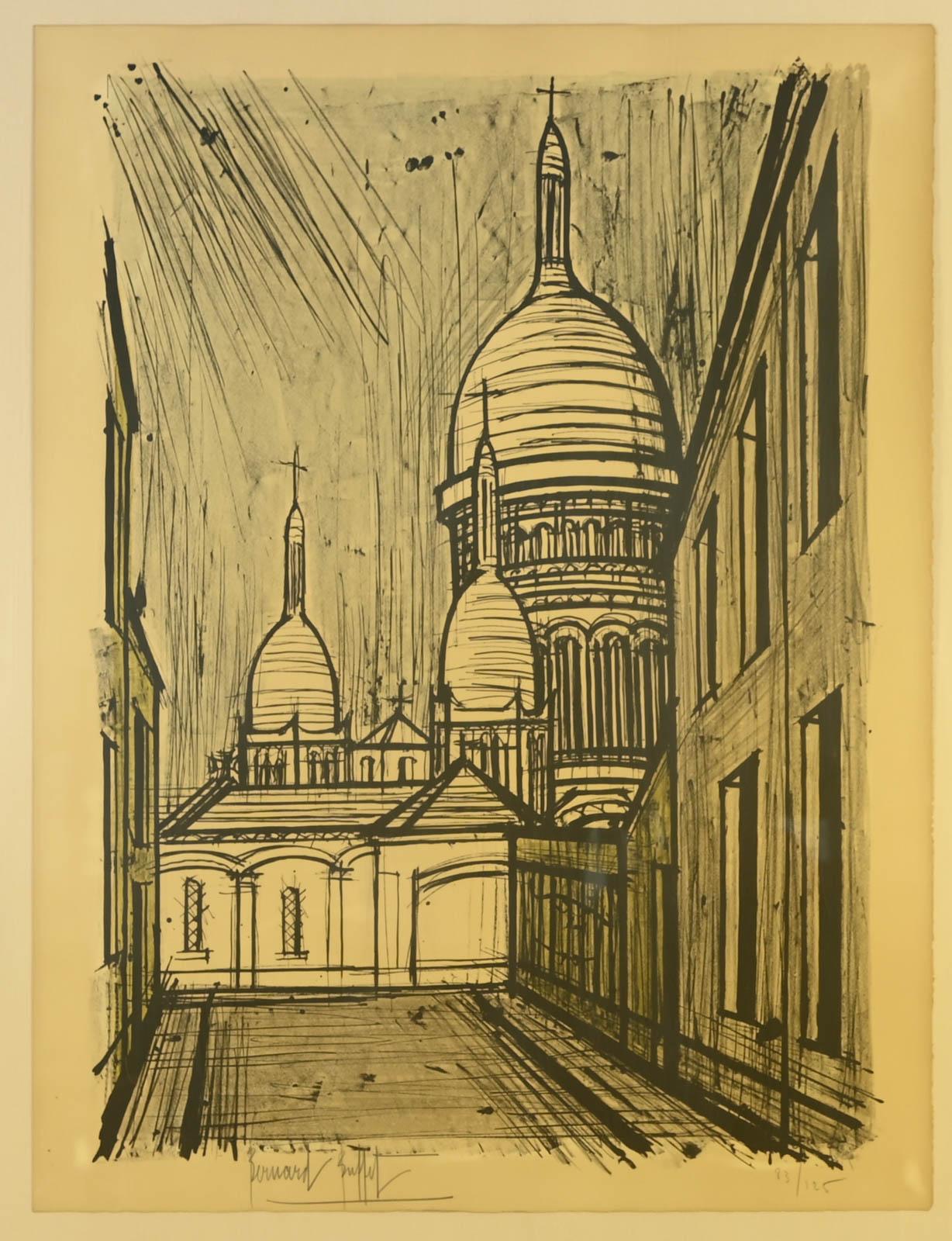
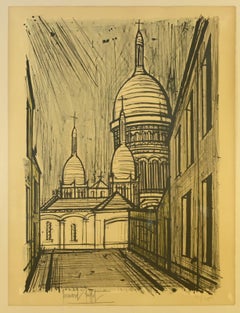
- Paris, Le Sacré-CoeurBy Bernard BuffetLocated in LE HAVRE, FRBernard BUFFET (1928-1999) Paris, le Sacré-Coeur Original lithograph on paper Paper dimensions: 76 x 58 cm Image dimensions: 70 x 50 cm Signed and numbered 83/125 at the bottom Pr...Category
1950s Modern Landscape Prints
MaterialsLithograph, Paper
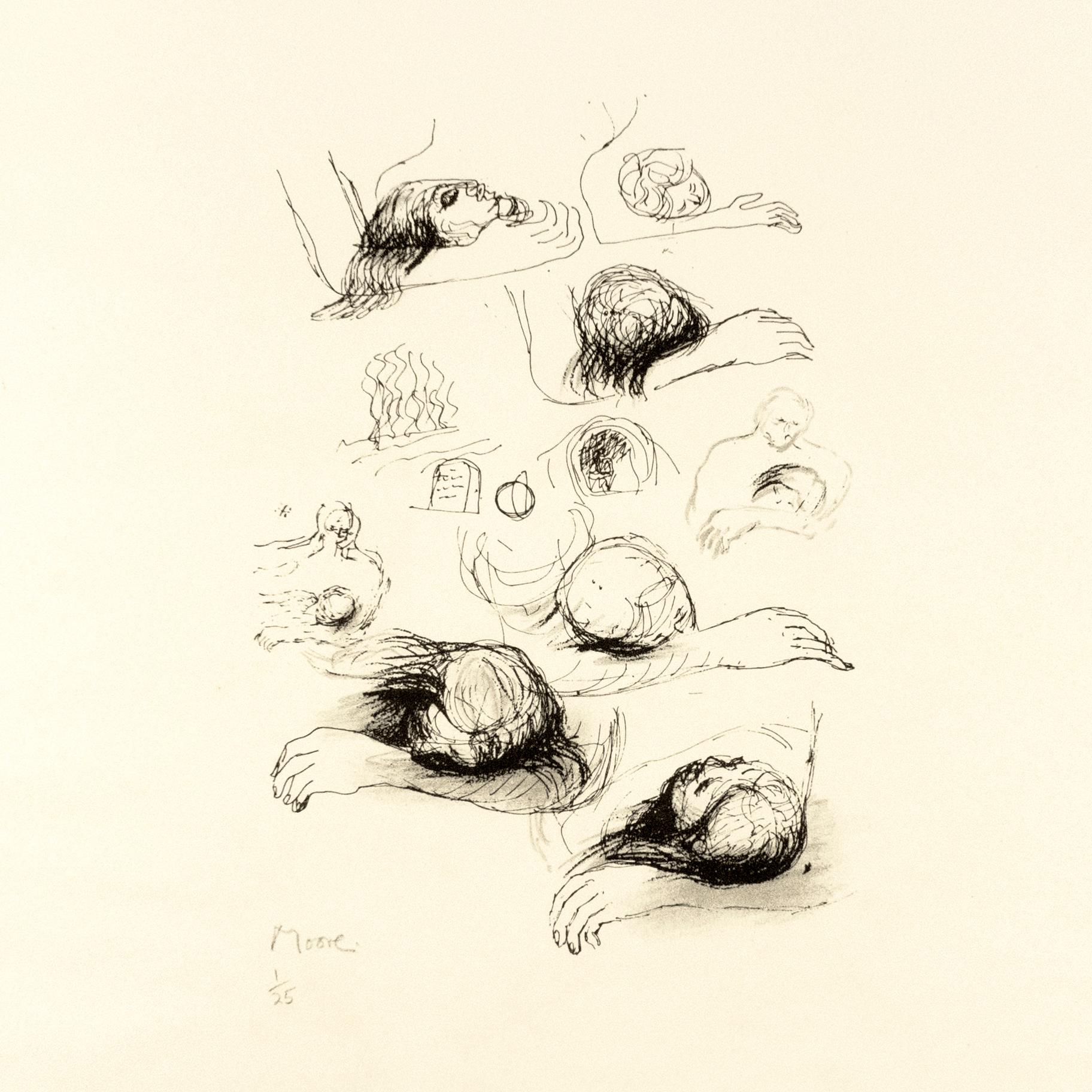
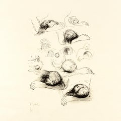
- Lullaby Sketches: black white drawing based on Auden poetry and Yorkshire landsBy Henry MooreLocated in New York, NYOne of a series of 18 lithographs drawn by the artist for the Auden Poems/Moore Lithographs 1974 book and portfolio. This work is from an edition of 25 printed on vellum aside from t...Category
Late 20th Century Modern Abstract Prints
MaterialsLithograph
Recently Viewed
View AllMore Ways To Browse
Vintage Max
Post Vintage
Australia Vintage
Childrens Art Posters
70 Poster
Vintage Us Post Office
Travel Poster 1920s
Vintage Architecture Posters
Post Modern 1930s
Vintage Posters For Children
Vintage Posters All Travel
Vintage 1920S Posters
1920S Vintage Posters
Room Posters Vintage
Vintage Travel Poster 1920s
Australian 1950
Vintage Us Travel Posters
Christ Church