Items Similar to 17th Century Nicolas Visscher Map of Southeastern Europe
Want more images or videos?
Request additional images or videos from the seller
1 of 5
17th Century Nicolas Visscher Map of Southeastern Europe
About the Item
A beautiful, highly detailed map of southeastern Europe by Nicolas Visscher. Includes regions of Northern Italy (showing the cities Bologna, Padua, and Venice), Bohemia, Austria (showing Vienna), Hungary, Poland, Slovenia, Croatia, Bosnia, Yugoslavia, Romania, Bulgaria, and the western coast of the Black Sea. This map is hand colored and features an ornamental title cartouche surrounded by figures and an eagle.
The family of Visscher was one of the most distinguished of all seventeenth century cartographical firms, and major figures in the era now considered the Golden Age of Dutch mapmaking. In the late 1600's, a period of great geographical discovery, Amsterdam was the international center of cartography. A number of venerable firms, including those established by Blaeu, Jansson, and Hondius competed for the ever-expanding market for maps and atlases.
Despite the intense competition, with maps such as these Nicolas Visscher set standards for exceptional quality that few other firms were able to equal. Boasting advanced geographical information, fine engraving and coloring, and striking decoration, Visscher's maps are fundamental illustrations of the reasons for Dutch supremacy in mapmaking during the 17th century.
Size with frame 40.75" wide x 26.25" high
Size without frame 32" wide x 17" high.
- Creator:Nicolas Visscher (Maker)
- Dimensions:Height: 26.5 in (67.31 cm)Width: 40.75 in (103.51 cm)Depth: 1 in (2.54 cm)
- Materials and Techniques:
- Place of Origin:
- Period:
- Date of Manufacture:circa 1689
- Condition:Wear consistent with age and use. Good condition for the age. Edges have some losses and tears. Some pin holes and fading.
- Seller Location:Hamilton, CA
- Reference Number:1stDibs: LU1355211784721
About the Seller
5.0
Platinum Seller
These expertly vetted sellers are 1stDibs' most experienced sellers and are rated highest by our customers.
Established in 2010
1stDibs seller since 2015
1,211 sales on 1stDibs
Typical response time: <1 hour
- ShippingRetrieving quote...Ships From: Hamilton, Canada
- Return PolicyA return for this item may be initiated within 3 days of delivery.
More From This SellerView All
- 19th Century, Irish Marine Botany Specimens Made for the Niagara Falls MuseumLocated in Hamilton, Ontario19th century Irish Marine Botany Specimens made for Thomas Barnett of the Niagara Falls Museum. Seaweed samples were collected off the West Coast of Ireland in 1871 by Mrs. Maria J.W. Kirkwood and presented to Thomas Barnett Esquire, proprietor of the Niagara Falls Museum. These come as two separately framed pieces with hand embroidered lettering surrounded by seaweed and a poem written by Victoria Hall. Free shipping within the United States and Canada. The Niagara Falls Museum was a museum most notable for being the oldest Canadian museum (1827), as well as for having housed the mummy of Ramesses I for 140 years before its return to Egypt in 2003. It was founded by Thomas Barnett of Birmingham, England and underwent a few vocational changes in its history. More on Thomas Barnett and the Niagara Falls Museum. Thomas Barnett was born on December the 4th, 1799 near Birmingham, England. He moved to Canada in the early 1820s and opened the Niagara Falls Museum in 1827 at the base of the Canadian Horseshoe Falls. Barnett had a passion for collecting oddities. He retrofitted a former brewery house to exhibit his private collection. Although Barnett was aware of the collection patterns of his North American contemporaries, his own approach bore an uncanny similarity to the British tradition, such as the Ashmolean Museum in Oxford, the first traditional museum in Britain. The Niagara Falls Museum had humble beginnings. In 1827, the first museum contained Thomas Barnett's own cabinet of taxidermic curiosities. Although the details were not documented, the collection was likely composed of a number of mounted animals of local origin, combined with a smattering of Native American artifacts. Barnett's collection however rapidly grew. Prior to 1844, an account of the museum's contents stated that there were over 5000 items, including bipeds, quadrupeds, birds, fish, insects, reptiles, shells, minerals, and Native American curiosities. Through the first fifty years of its existence, the Niagara Falls Museum continued to acquire similar artifacts through the diligent efforts of the Barnett family and their associates. In 1854, Sydney Barnett (son of Thomas Barnett) made the first of his three trips to Egypt (two by himself and one with Dr. J. Douglas of Montreal) and purchased four mummies as well as a host of other Egyptian antiquities. In 1857, mastodon remains were discovered in St. Thomas, Ontario and later placed in the museum. In 1859 an inventory of the museum's contents included, in addition to the previously mentioned artifacts, an egg collection...Category
Antique 19th Century Decorative Art
- Mid-Century Royal Trust Company Framed Wall Plaque with Indigenous ChiefLocated in Hamilton, OntarioThis wall plaque is unsigned with respect to the maker, but it is presumed to have been made in Canada in approximately 1950 in a traditional style. The plaque is composed of a very ...Category
Mid-20th Century Canadian American Classical Decorative Art
MaterialsSpelter
- 18th Century Map of the Southern Balkans by Giovanni Maria CassiniBy Giovanni Maria CassiniLocated in Hamilton, Ontario18th century map by Italian engraver Giovanni Maria Cassini (Italy 1745-1824). Map of the Southern Balkans: Rome. Hand colored and copper engraved print done in the year 1788. It in...Category
Antique 18th Century Italian Maps
MaterialsPaper
- Early 19th Century Hand Coloured Map of North America by Aaron ArrowsmithBy Aaron ArrowsmithLocated in Hamilton, OntarioHand coloured map in French by English cartographer Aaron Arrowsmith (1750–1823) titled "Amerique Septentionale" (North America). Map size: 9.5" x 8" Mat size: 20.5" x 14.25".Category
Antique Early 19th Century English Maps
MaterialsPaper
- Early 19th Century Hand Colored Map of the United States and Caribbean IslandsLocated in Hamilton, OntarioHand coloured early 19th century map by Giraldon of France titled "Etats Unis et Grandes Antilles" (United States and Greater Antilles).Category
Antique Early 19th Century French Maps
MaterialsPaper
- Vintage 1930s Old New York City Mounted "Straphanger" Subway Car HandleLocated in Hamilton, OntarioThis cast iron and porcelain 'straphanger' or pivoting grab handle was made by the Rico manufacturing company of the United States in circa 1930 in a period industrial style. The cas...Category
Early 20th Century American Industrial Decorative Art
MaterialsIron
You May Also Like
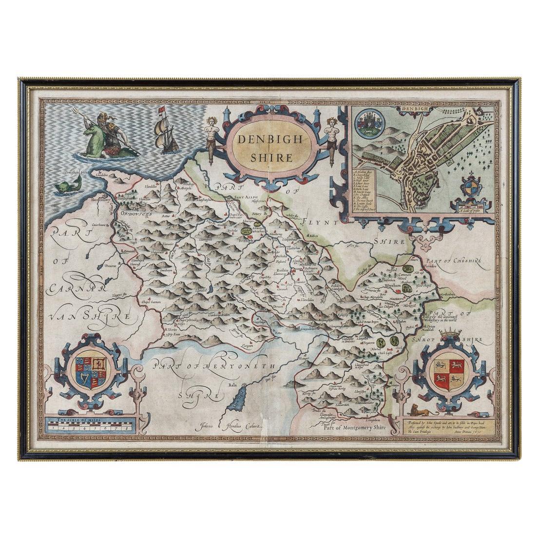
- 17th Century John Speed Map of Denbighshire, c.1610By John SpeedLocated in Royal Tunbridge Wells, KentAntique early 17th century British very rare and original John Speed, hand coloured map of Denbighshire, dated 1610, by John Sunbury and George Humble. John...Category
Antique 17th Century British Maps
MaterialsWood, Paper
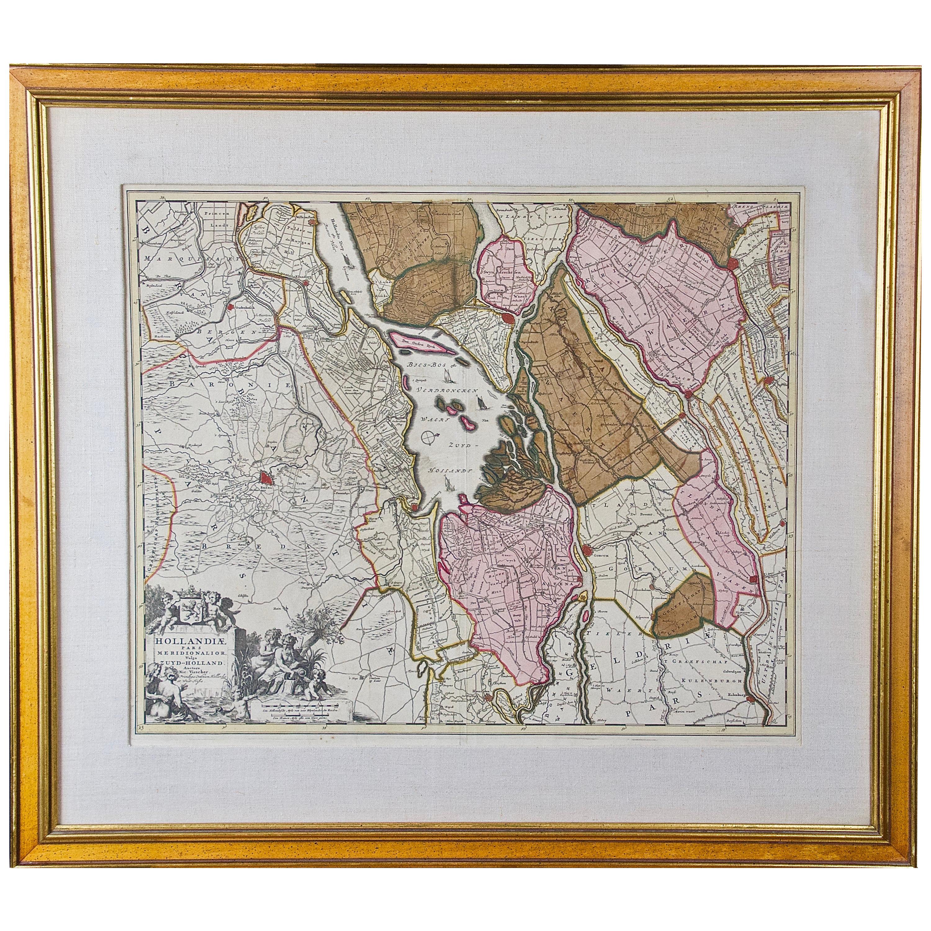
- Hand Colored 17th Century Visscher Map "Hollandiae" Southern HollandBy Nicolaes Visscher IILocated in Alamo, CAA hand colored 17th century map of the southern portions of Holland by Nicolaus (Nicolas) Visscher II entitled "Hollandiae pars Meridionalis, vulgo Zuyd-Holland", published in Amsterdam in 1678. The map shows the region between Breda, Heusden, Gornichem, Gouda, Dordrecht, and Willemstad. It includes a decorative cartouche in the lower left corner. The map is presented in an attractive maple colored wood frame with gold trim and a fabric mat. The Visscher family were one of the great cartographic families of the 17th century. Begun by Claes Jansz Visscher...Category
Antique Early 18th Century Dutch Maps
MaterialsPaper
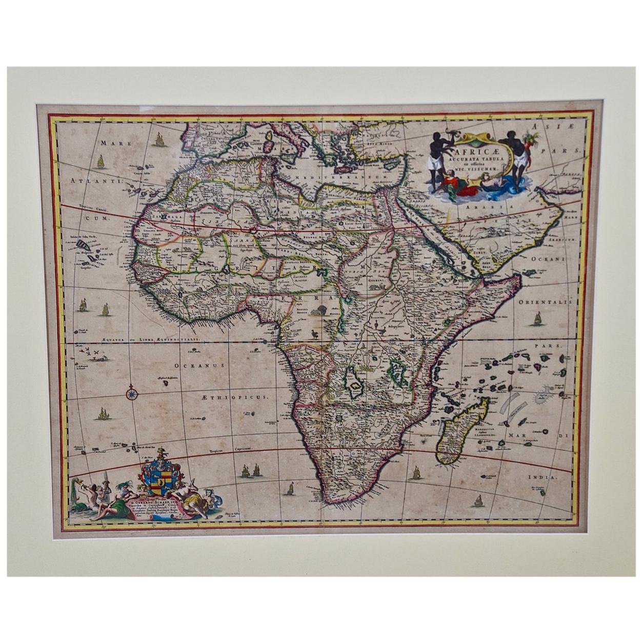
- "Africae Accurata", a Hand-Colored 17th Century Map of Africa by VisscherBy Nicolaes Visscher IILocated in Alamo, CAAn 18th century hand-colored map of Africa entitled "Africae Accurata Tabula ex officina" by Nicolaes Visscher, published in Amsterdam in 1680. This beautiful, colorful and detailed map is embellished by eleven sailing ships, a whale, flying fish and multiple land animals. It includes the Mediterranean Sea and adjacent portions of Portugal, Spain, Italy, Greece and Asia Minor. The map perpetuates several long-standing errors, including the origin of the Nile River from two imaginary lakes in southern Africa, which are shown adjacent to the imaginary Lunae Montes (Mountains of the Moon...Category
Antique Late 17th Century Dutch Maps
MaterialsPaper
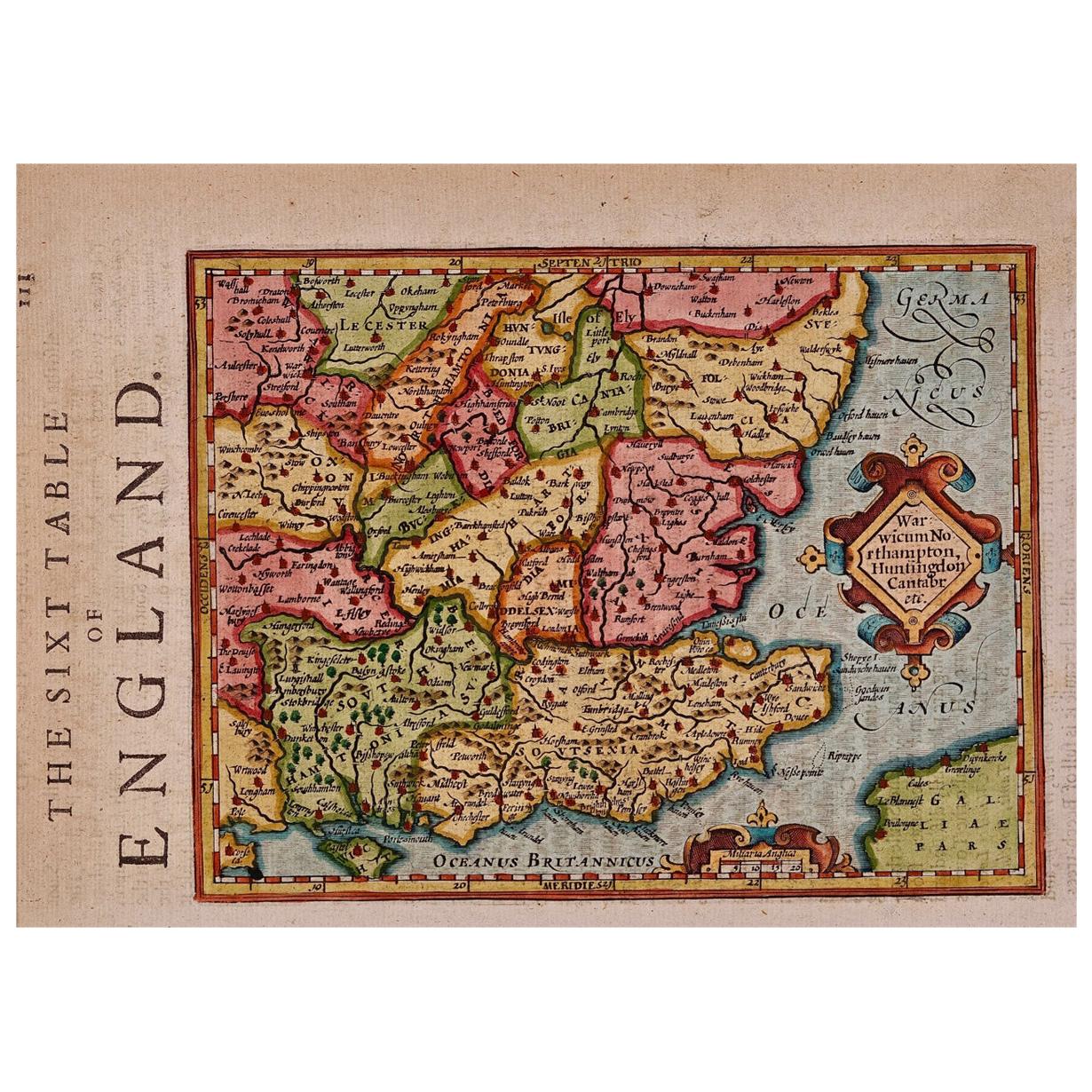
- 17th Century Hand-Colored Map of Southeastern England by Mercator and HondiusBy Gerard MercatorLocated in Alamo, CAA 17th century copperplate hand-colored map entitled "The Sixt Table of England" by Gerard Mercator and Jodocus Hondius, published in Amsterdam in 1635 in 'Cosmographicall Descriptio...Category
Antique Mid-17th Century Dutch Maps
MaterialsPaper
- Southeastern Ireland: A 17th Century Hand Colored Map by Mercator and HondiusBy Gerard MercatorLocated in Alamo, CAA 17th century copperplate hand-colored map entitled "The Second Table of Ireland, Udrone" by Gerard Mercator and Jodocus Hondius, published in Amsterdam in 1635 in 'Cosmographicall ...Category
Antique Mid-17th Century Dutch Maps
MaterialsPaper
- 17th Century Hand Colored Map of the Liege Region in Belgium by VisscherBy Nicolaes Visscher IILocated in Alamo, CAAn original 17th century map entitled "Leodiensis Episcopatus in omnes Subjacentes Provincias distincté divisusVisscher, Leodiensis Episcopatus" by Nicolaes Visscher II, published in Amsterdam in 1688. The map is centered on Liege, Belgium, includes the area between Antwerp, Turnhout, Roermond, Cologne, Trier and Dinant. This attractive map is presented in a cream-colored mat measuring 30" wide x 27.5" high. There is a central fold, as issued. There is minimal spotting in the upper margin and a tiny spot in the right lower margin, which are under the mat. The map is otherwise in excellent condition. The Visscher family were one of the great cartographic families of the 17th century. Begun by Claes Jansz Visscher...Category
Antique Late 17th Century Dutch Maps
MaterialsPaper
