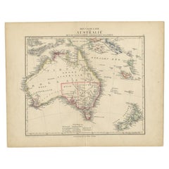
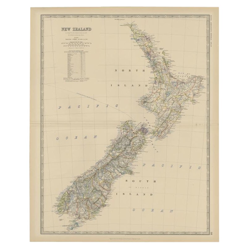
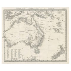
Antique Dutch Map of Australia 'Nieuwe Holland' and New Zealand, c.1873
View Similar Items


Want more images or videos?
Request additional images or videos from the seller
1 of 5
Antique Dutch Map of Australia 'Nieuwe Holland' and New Zealand, c.1873
About the Item
- Dimensions:Height: 10.32 in (26.2 cm)Width: 13.12 in (33.3 cm)Depth: 0 in (0.01 mm)
- Materials and Techniques:
- Period:
- Date of Manufacture:circa 1873
- Condition:
- Seller Location:Langweer, NL
- Reference Number:Seller: BG-06667-21stDibs: LU3054326092032
About the Seller
5.0
Platinum Seller
These expertly vetted sellers are 1stDibs' most experienced sellers and are rated highest by our customers.
Established in 2009
1stDibs seller since 2017
1,913 sales on 1stDibs
More From This SellerView All
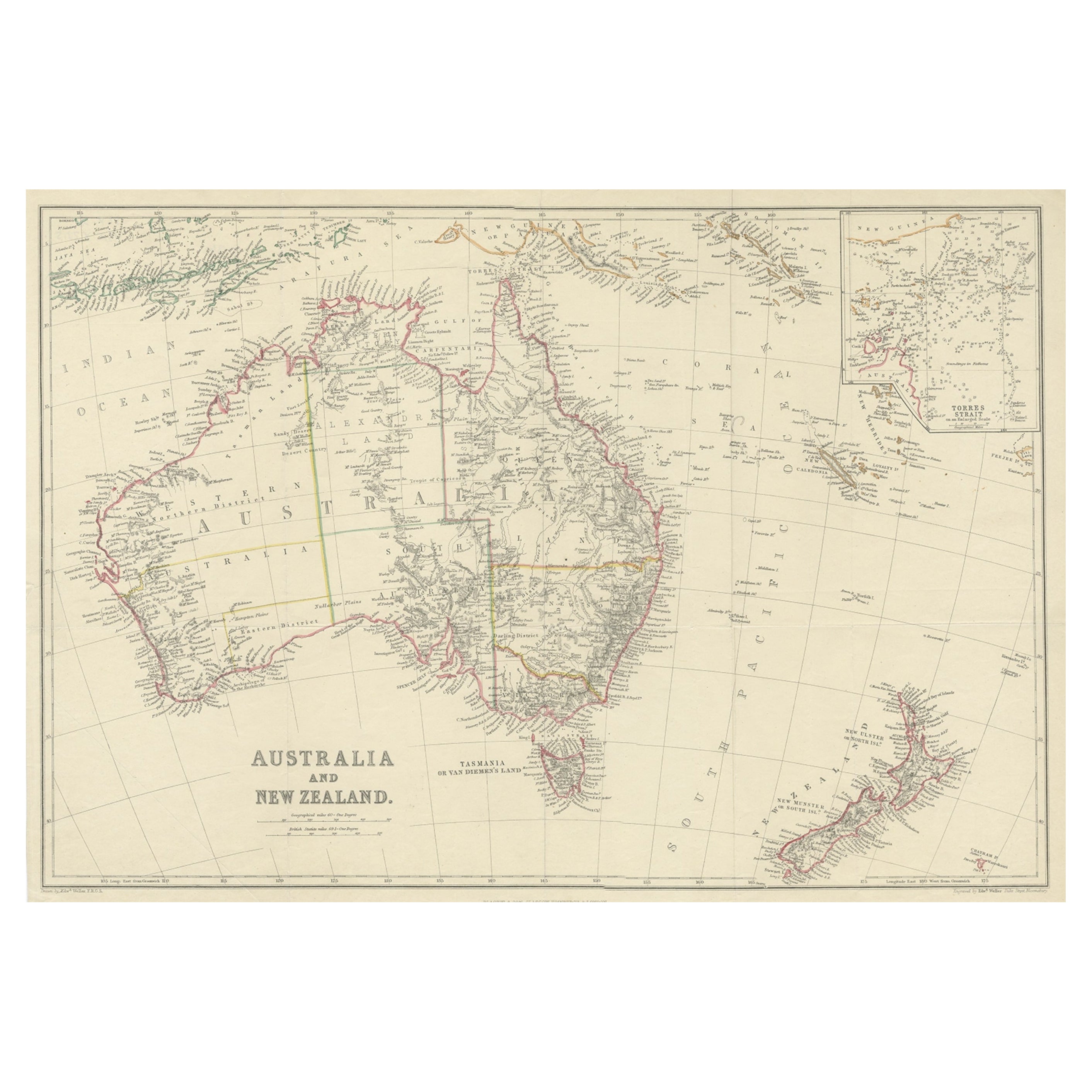
- Antique Map of Australia and New Zealand, c.1860Located in Langweer, NLAntique map titled 'Australia and New Zealand'. Unusual edition of this map of Australia and New Zealand, on very thin paper and multiple folding lines. Source unknown, to be determi...Category
Antique 19th Century Maps
MaterialsPaper
 $122 Sale Price20% Off
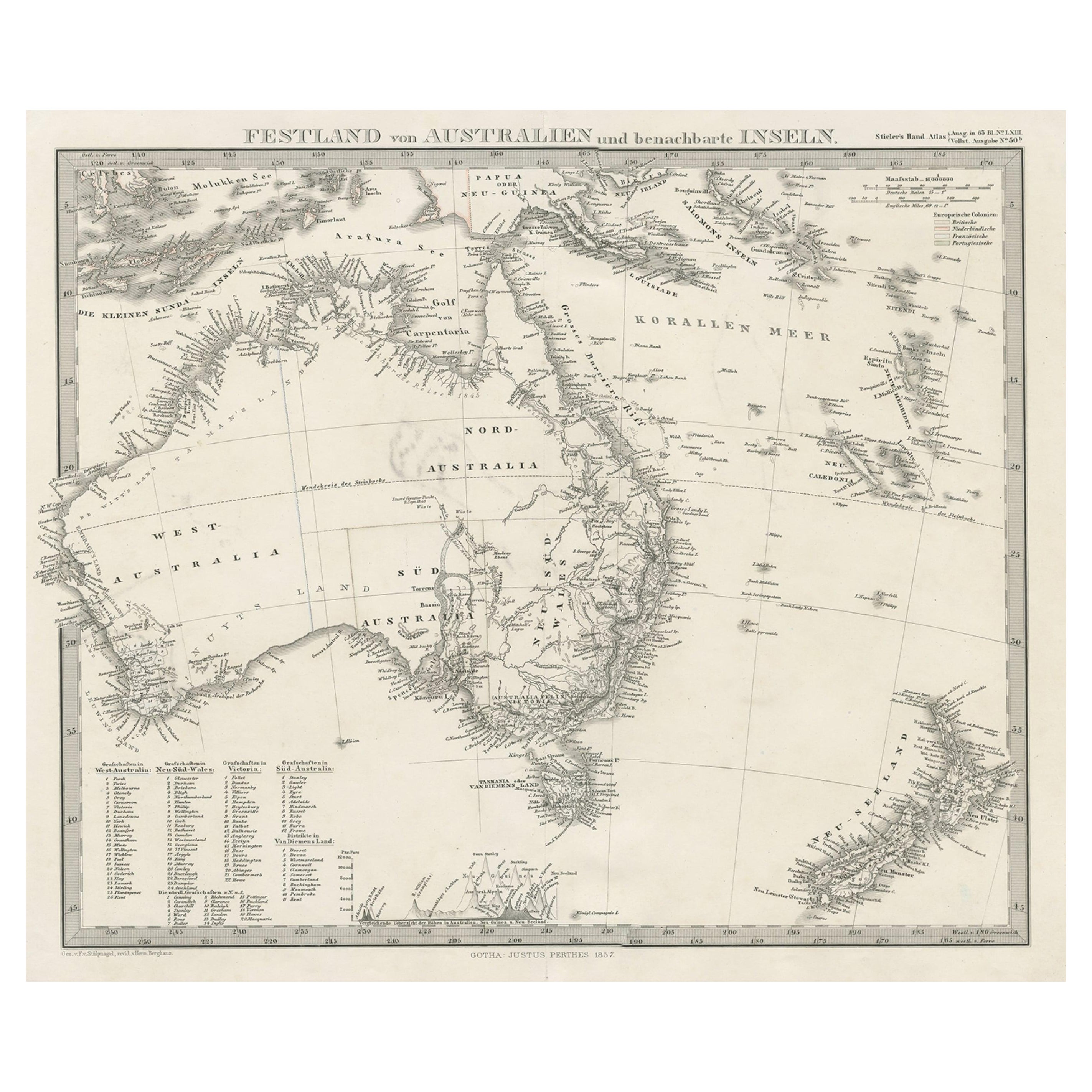
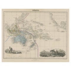
 - German Antique Map of Australia and New Zealand, 1857Located in Langweer, NLAntique map Australia titled 'Festland von Australien und benachbarte Inseln'. Detailed map of Australia and New Zealand, including excellent det...Category
Antique 19th Century Maps
MaterialsPaper
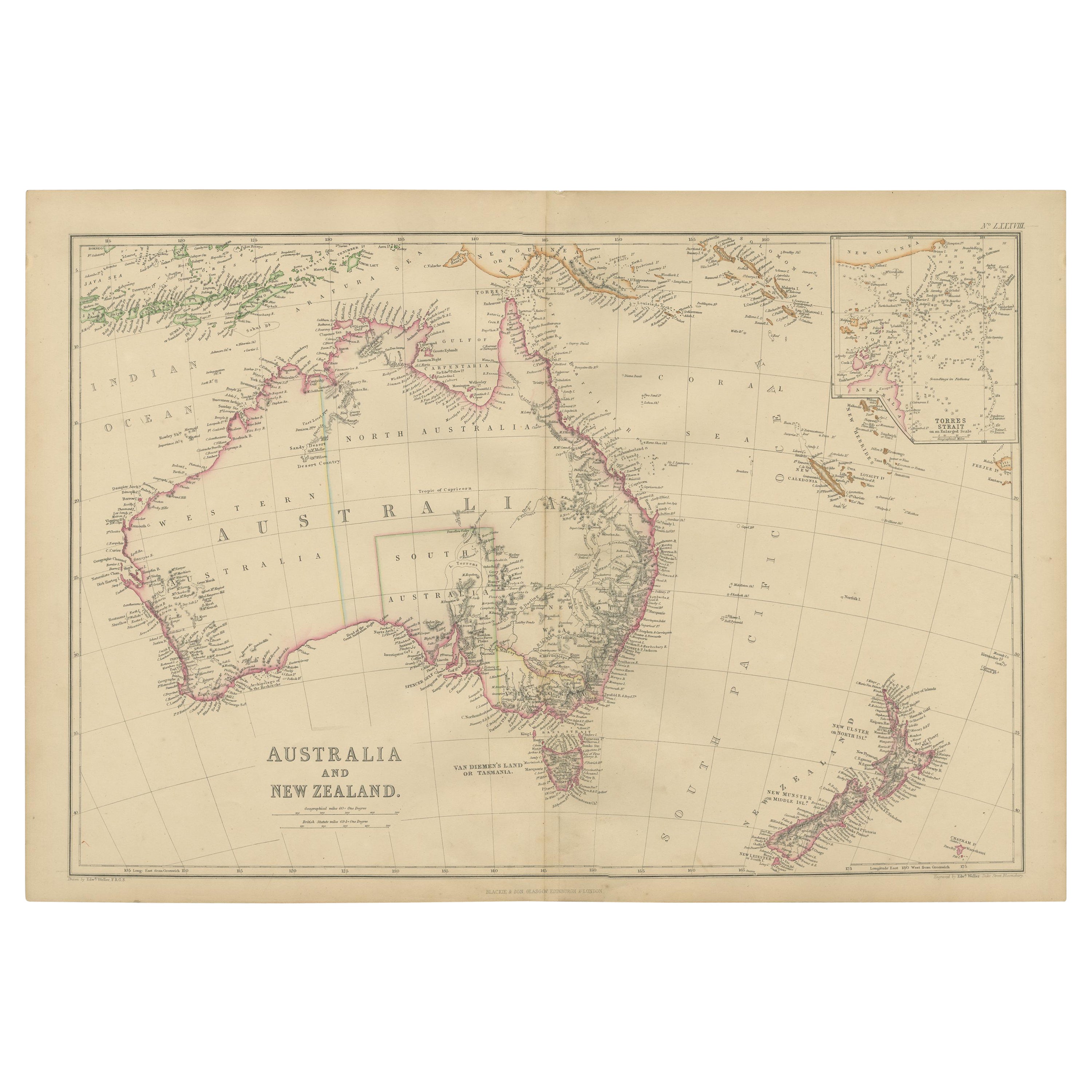
- Antique Map of Australia and New Zealand by W. G. Blackie, 1859Located in Langweer, NLAntique map titled 'Australia and New Zealand'. Original antique map of Australia and New Zealand with inset map of the Torres Strait. This map originates from ‘The Imperial Atlas of...Category
Antique Mid-19th Century Maps
MaterialsPaper
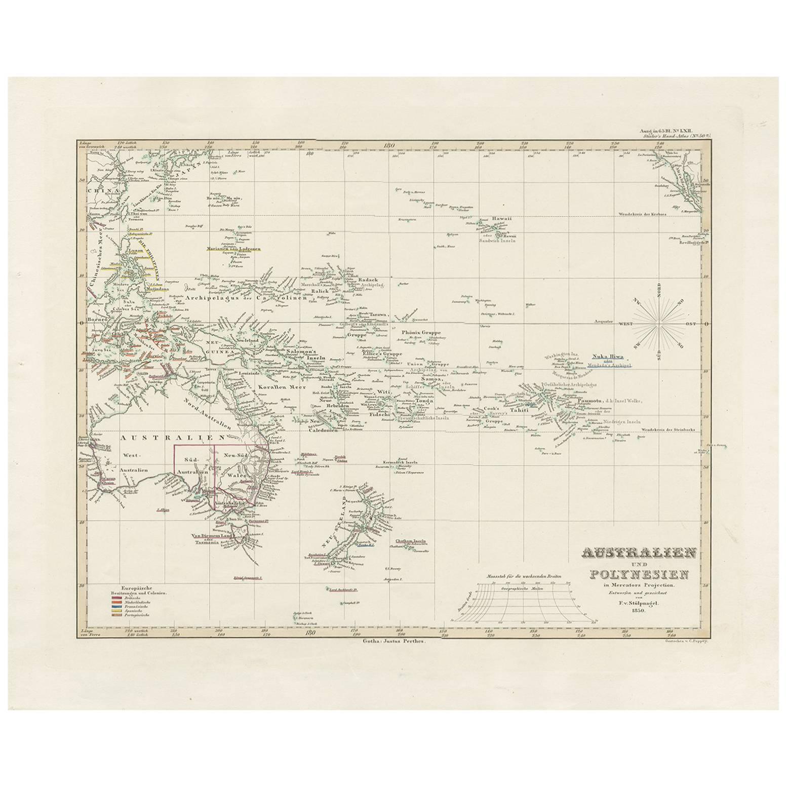
- Antique Map of Australia, New Zealand and Oceania by F. von Stülpnagel, 1850Located in Langweer, NLAntique map titled 'Australien und Polynesien in Mercators Projection'. A map of Australia, New Zealand and Oceania. This includes Fiji, Tahiti and several other island groups in the...Category
Antique Mid-19th Century Maps
MaterialsPaper
 $168 Sale Price30% Off
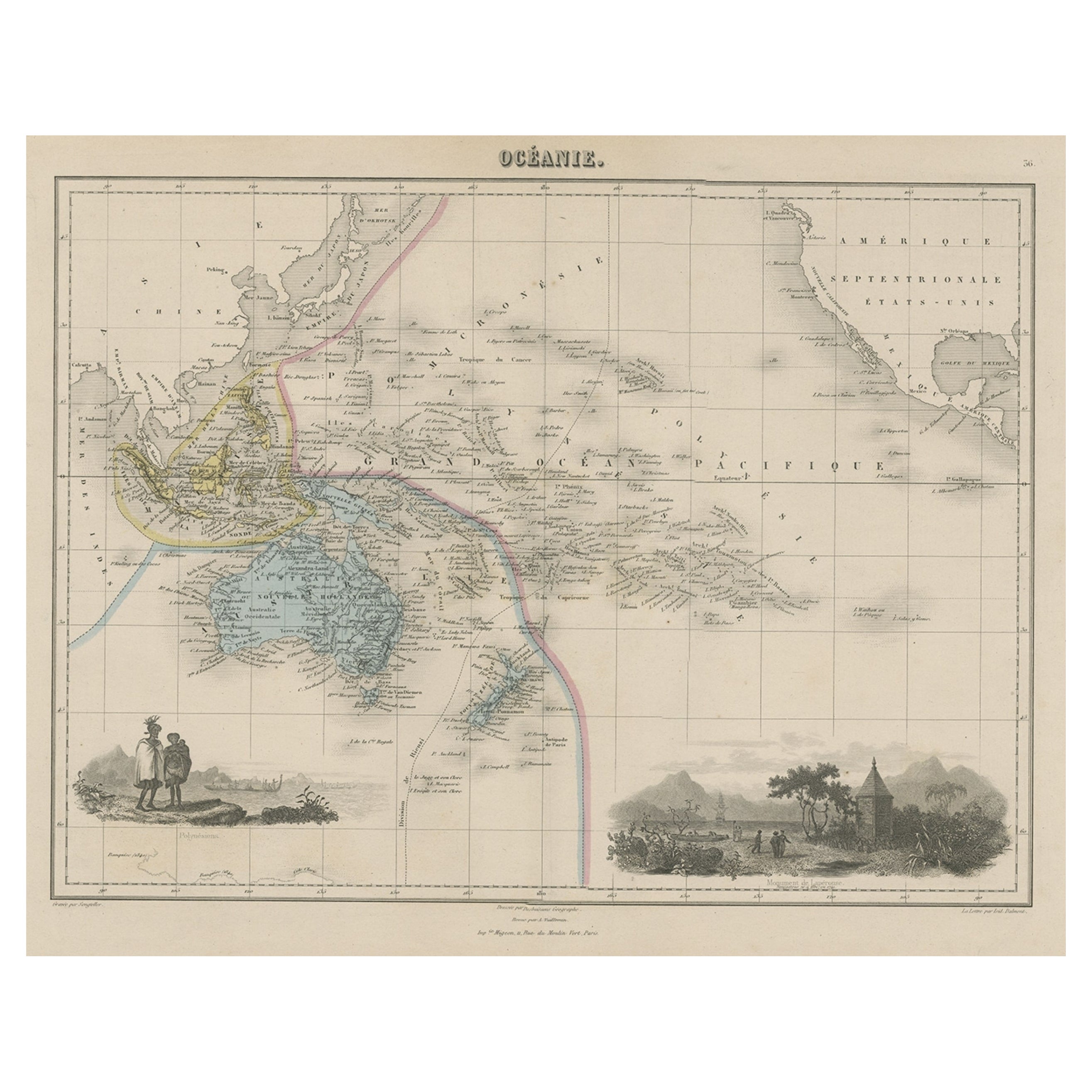
 - Old Map of the Oceans Around Australia, Indonesia and New Zealand, 1880Located in Langweer, NLAntique map titled 'Océanie'. Old map of the oceans around Australia, Indonesia and New Zealand. With vignettes of people from Polynesia and the old monument Laparouse. This map ...Category
Antique 1880s Maps
MaterialsPaper
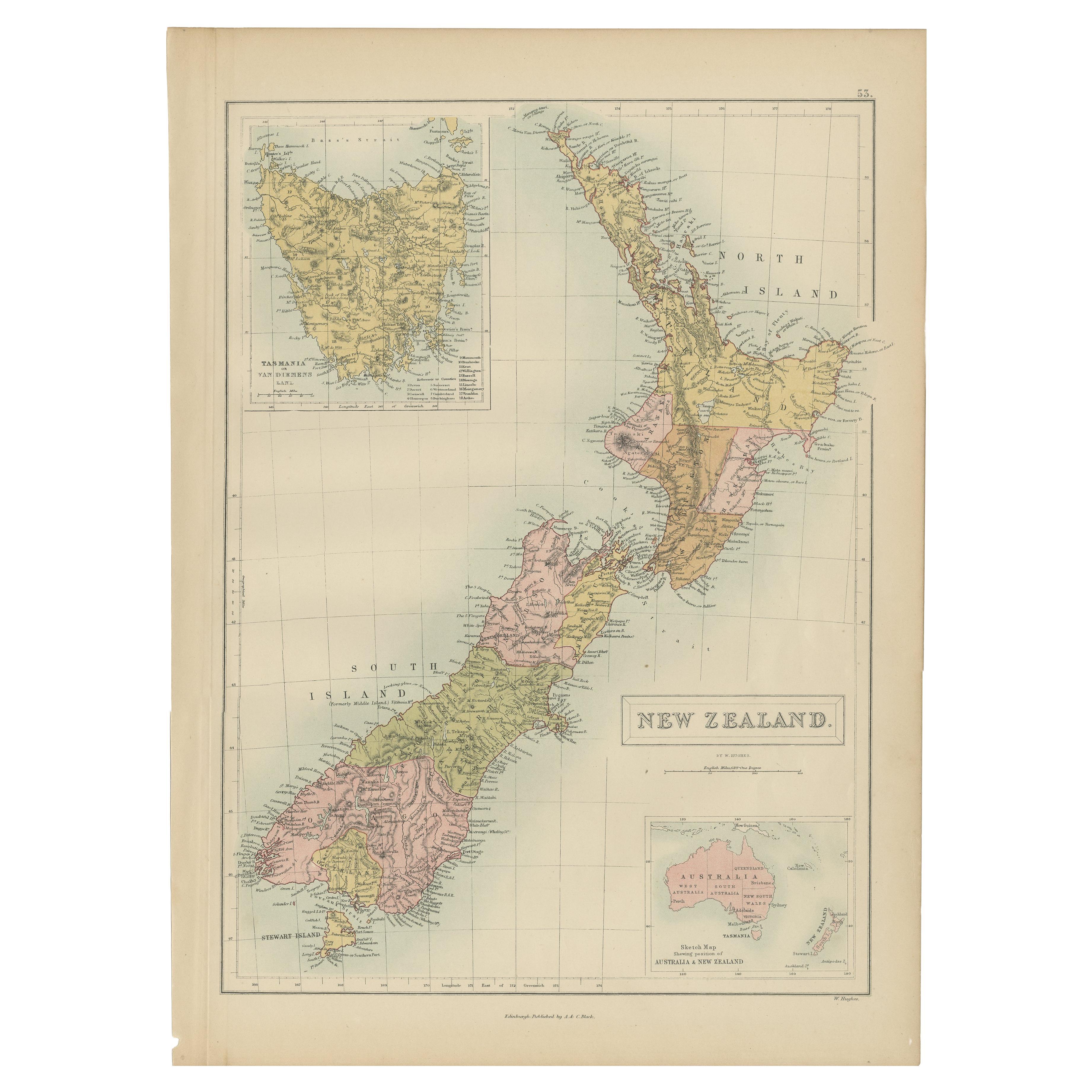
- Antique Map of New Zealand by A & C. Black, 1870Located in Langweer, NLAntique map titled 'New Zealand'. Original antique map of New Zealand with inset Maps of Australia, New Zealand and Tasmania. This map origi...Category
Antique Late 19th Century Maps
MaterialsPaper


You May Also Like
- Antique Map of Principality of MonacoBy Antonio Vallardi EditoreLocated in Alessandria, PiemonteST/619 - "Old Geographical Atlas of Italy - Topographic map of ex-Principality of Monaco" - ediz Vallardi - Milano - A somewhat special edition ---Category
Antique Late 19th Century Italian Other Prints
MaterialsPaper
 $227 Sale Price74% Off
 - Antique 1901 National Publishing Company's Road Map of New Jersey GeologicalLocated in Dayton, OHThe National Publishing Company's road map of New Jersey, showing all county and township divisions, cities villages and post-offices, railroads, ste...Category
Antique Early 1900s Victorian Prints
MaterialsPaper
- Original Antique Map of Spain and Portugal, circa 1790Located in St Annes, LancashireSuper map of Spain and Portugal Copper plate engraving by A. Bell Published, circa 1790. Unframed.Category
Antique 1790s English Other Maps
MaterialsPaper
- Original Antique Map of Ireland- Tipperary and Waterford. C.1840Located in St Annes, LancashireGreat map of Tipperary and Waterford Steel engraving Drawn under the direction of A.Adlard Published by How and Parsons, C.1840 Unframed.Category
Antique 1840s English Maps
MaterialsPaper
- Original Antique Map of Italy. C.1780Located in St Annes, LancashireGreat map of Italy Copper-plate engraving Published C.1780 Unframed.Category
Antique Early 1800s English Georgian Maps
MaterialsPaper

- Original Antique Map of Asia. C.1780Located in St Annes, LancashireGreat map of Asia Copper-plate engraving Published C.1780 Two small worm holes to right side of map Unframed.Category
Antique Early 1800s English Georgian Maps
MaterialsPaper


Recently Viewed
View AllMore Ways To Browse
Map Zealand
New Zealand Map
Map Of New Zealand
Map New Holland
Old School Maps
New Zealand Antique Map
Antique New Zealand Map
Antique Maps New Zealand
Antique Map Of New Zealand
Van Diemen
Antique Map New Zealand
Tasmania Antique
Antique Tasmania
Antique Furniture Tasmania
Antique Texas Furniture
Texas Antique Furniture
Cross Decor
American West Antiques