Items Similar to Antique Map of Alaska '1904'


Want more images or videos?
Request additional images or videos from the seller
1 of 5
Antique Map of Alaska '1904'
About the Item
An antique map titled 'Map of Alaska Compiled Under the Direction of R.U. Goode, Geographer,' which relies on data from both the U.S. Geological Survey and the U.S. Coast and Geodetic Survey; a significant historical document. Here are some aspects of this map that stand out:
**Geographical Detail**: The map incorporates data from the U.S. Geological Survey and the U.S. Coast and Geodetic Survey, it offers a highly detailed view of Alaska's topography and watershed. This level of detail includes mountain ranges, river systems, elevations, and other physical features such as lakes, forests, and glaciers.
**Inset of the Aleutian Islands**: The inclusion of an inset depicting the Aleutian Islands suggests the map's comprehensive nature, ensuring these significant, geographically dispersed parts of Alaska are accurately represented. The Aleutian Islands are a chain of islands extending from southwestern Alaska, and their depiction would be essential for a complete cartographic representation of the state.
**Cartographic Accuracy**: The map's compilation under the direction of R.U. Goode, a geographer, indicates that it would have been created with a focus on scientific accuracy and precision, utilizing the most advanced cartographic information and techniques available at the time.
**Historical Importance**: The map could provide insights into Alaska at a particular point in its history around 1904, showing the state before significant modern development, during a time of important exploration and surveying activity.
**Research and Navigation Use**: With its detailed topographic information, the map would have served important functions for research, navigation, and planning. It would have been of particular use to those involved in geological, hydrological, and ecological studies, as well as to navigators and explorers of the region.
**Educational Value**: As a detailed map with scientific backing, it would have been an invaluable educational tool, likely used in academic settings or by government agencies to inform about the geography of Alaska.
**Collectibility**: For collectors of antique maps, this piece would be of particular interest due to its detail, the reputation of the U.S. Geological Survey and the U.S. Coast and Geodetic Survey for accuracy, and the involvement of a recognized geographer like R.U. Goode. It would also appeal to those with a specific interest in Alaskan history, cartography, and natural sciences.
In summary, this map of Alaska stands as a testament to the scientific cartographic endeavors of its time and would be a prized piece for its rich detail and historical value.
- Dimensions:Height: 33.47 in (85 cm)Width: 47.25 in (120 cm)Depth: 0.02 in (0.5 mm)
- Materials and Techniques:
- Period:
- Date of Manufacture:1904
- Condition:Issued folding. Few tiny splits at fold intersections. Blank verso, please study images carefully.
- Seller Location:Langweer, NL
- Reference Number:
About the Seller
5.0
Platinum Seller
These expertly vetted sellers are 1stDibs' most experienced sellers and are rated highest by our customers.
Established in 2009
1stDibs seller since 2017
1,916 sales on 1stDibs
Typical response time: <1 hour
- ShippingRetrieving quote...Ships From: Langweer, Netherlands
- Return PolicyA return for this item may be initiated within 14 days of delivery.
More From This SellerView All
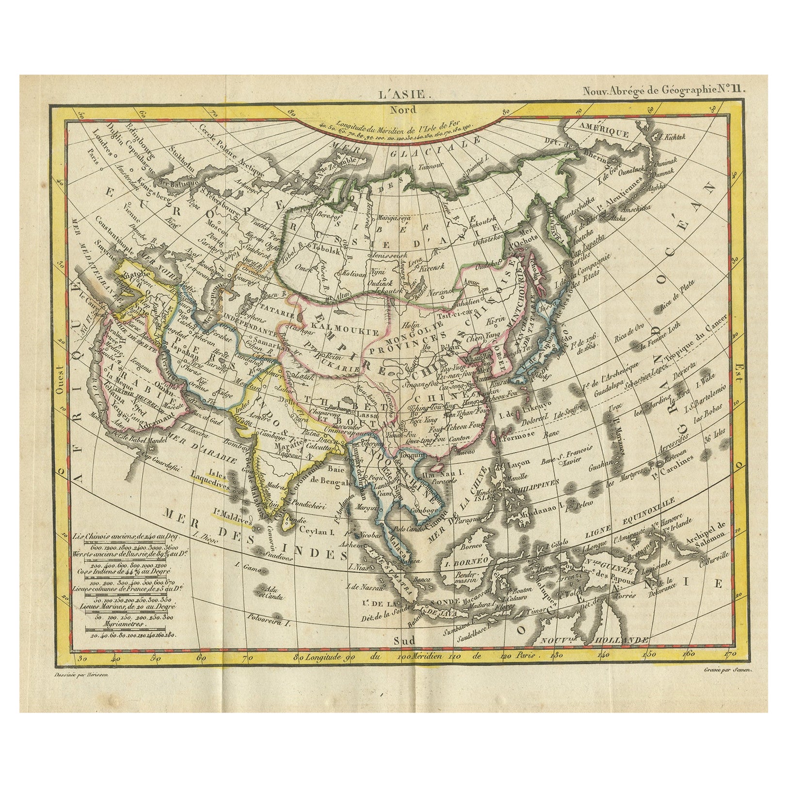
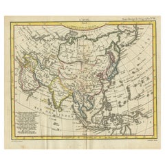
- Antique Map of Asia from the Middle East to the Coast of Alaska, 1816Located in Langweer, NLAntique map titled ‘L’Asie‘. This is an original antique map of Asia, by Hérisson, taken from atlas ""Nouv. Abrége de Géographie"". An engraved map with coloring of Asia from the Mid...Category
Antique 19th Century Maps
MaterialsPaper
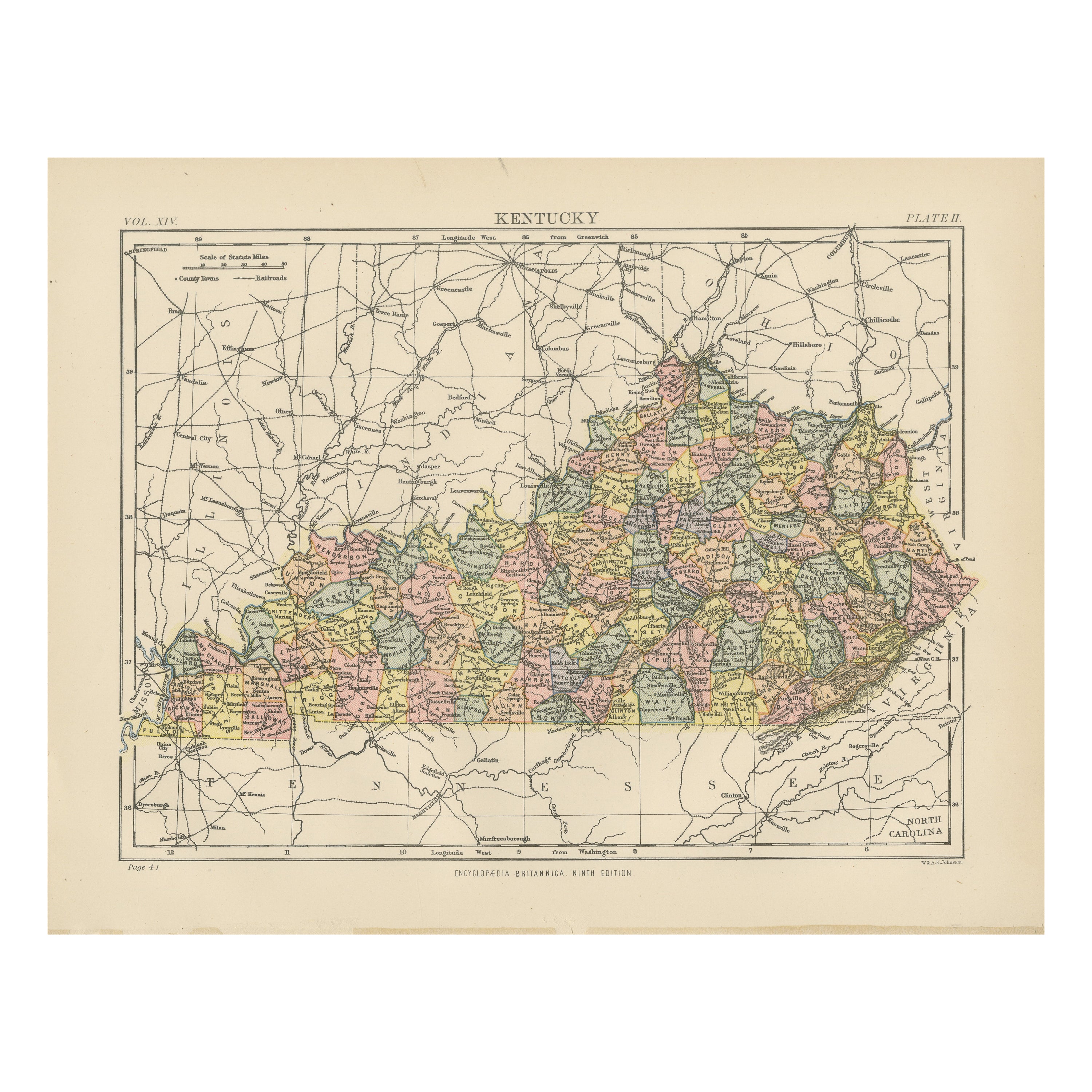
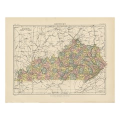
- Antique Map of KentuckyLocated in Langweer, NLAntique map titled 'Kentucky'. Original antique map of Kentucky, United States. This print originates from 'Encyclopaedia Britannica', Ninth E...Category
Antique Late 19th Century Maps
MaterialsPaper
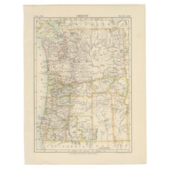
- Antique Map of OregonLocated in Langweer, NLAntique map titled 'Oregon'. Original antique map of Oregon, United States. This print originates from 'Encyclopaedia Britannica', Ninth Edition. Publish...Category
Antique Late 19th Century Maps
MaterialsPaper
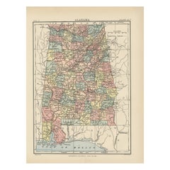
- Antique Map of AlabamaLocated in Langweer, NLAntique map titled 'Alabama'. Original antique map of Alabama, United States. This print originates from 'Encyclopaedia Britannica', Ninth Editi...Category
Antique Late 19th Century Maps
MaterialsPaper
- Antique Map of NebraskaLocated in Langweer, NLAntique map titled 'Nebraska'. Original antique map of Nebraska, United States. This print originates from 'Encyclopaedia Britannica', Ninth Edition. Pu...Category
Antique Late 19th Century Maps
MaterialsPaper
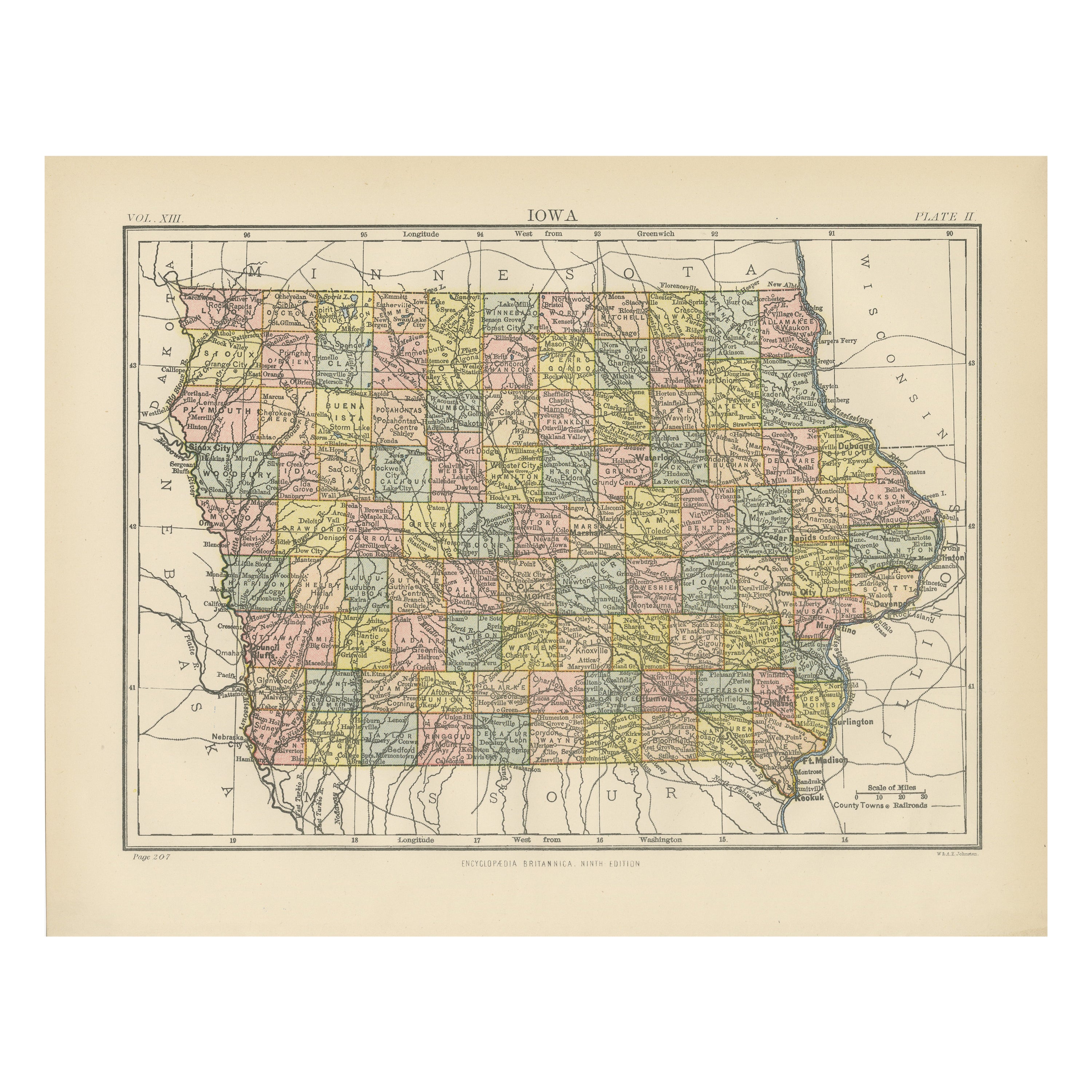
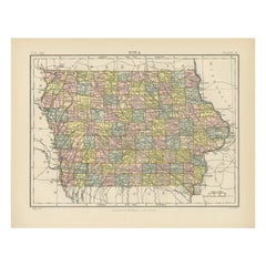
- Antique Map of IowaLocated in Langweer, NLAntique map titled 'Iowa'. Original antique map of Iowa, United States. This print originates from 'Encyclopaedia Britannica', Ninth Edition. Published 188...Category
Antique Late 19th Century Maps
MaterialsPaper

You May Also Like
- Antique Map of Principality of MonacoBy Antonio Vallardi EditoreLocated in Alessandria, PiemonteST/619 - "Old Geographical Atlas of Italy - Topographic map of ex-Principality of Monaco" - ediz Vallardi - Milano - A somewhat special edition ---Category
Antique Late 19th Century Italian Other Prints
MaterialsPaper
- Original Antique Map of Ireland- Kerry. C.1840Located in St Annes, LancashireGreat map of Kerry Steel engraving Drawn under the direction of A.Adlard Published by How and Parsons, C.1840 Unframed.Category
Antique 1840s English Maps
MaterialsPaper
- Large Antique 1859 Map of North AmericaLocated in Sag Harbor, NYThis Map was made by Augustus Mitchell in 1859 It is in amazing condition for being 163 years old. This price is for the rolled up easy to ship version of this piece. I will be Frami...Category
Antique Mid-19th Century American Maps
MaterialsCanvas, Paper

- Original Antique Map of Hungary, Arrowsmith, 1820Located in St Annes, LancashireGreat map of Hungary Drawn under the direction of Arrowsmith. Copper-plate engraving. Published by Longman, Hurst, Rees, Orme and Brown, 1820 Unframed.Category
Antique 1820s English Maps
MaterialsPaper
- Original Antique Map of France, Arrowsmith, 1820Located in St Annes, LancashireGreat map of France Drawn under the direction of Arrowsmith. Copper-plate engraving. Published by Longman, Hurst, Rees, Orme and Brown, 1820 Unframed.Category
Antique 1820s English Maps
MaterialsPaper
- Original Antique Map of Canada, Arrowsmith, 1820Located in St Annes, LancashireGreat map of Canada. Drawn under the direction of Arrowsmith. Copper-plate engraving. Published by Longman, Hurst, Rees, Orme and Brown, 1820 ...Category
Antique 1820s English Maps
MaterialsPaper


