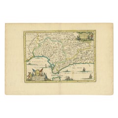
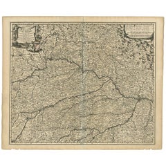
Antique Map of Andalusia, 'Spain', circa 1700
View Similar Items


Want more images or videos?
Request additional images or videos from the seller
1 of 5
Antique Map of Andalusia, 'Spain', circa 1700
About the Item
- Dimensions:Height: 9.85 in (25 cm)Width: 14.77 in (37.5 cm)Depth: 0.02 in (0.5 mm)
- Materials and Techniques:
- Period:
- Date of Manufacture:circa 1700
- Condition:Original folding line, general age-related toning. Minor wear, blank verso. Please study images carefully.
- Seller Location:Langweer, NL
- Reference Number:Seller: BG-12418-111stDibs: LU3054318530562
About the Seller
5.0
Platinum Seller
These expertly vetted sellers are 1stDibs' most experienced sellers and are rated highest by our customers.
Established in 2009
1stDibs seller since 2017
1,913 sales on 1stDibs
More From This SellerView All
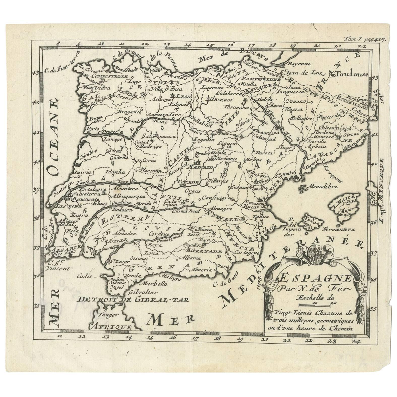
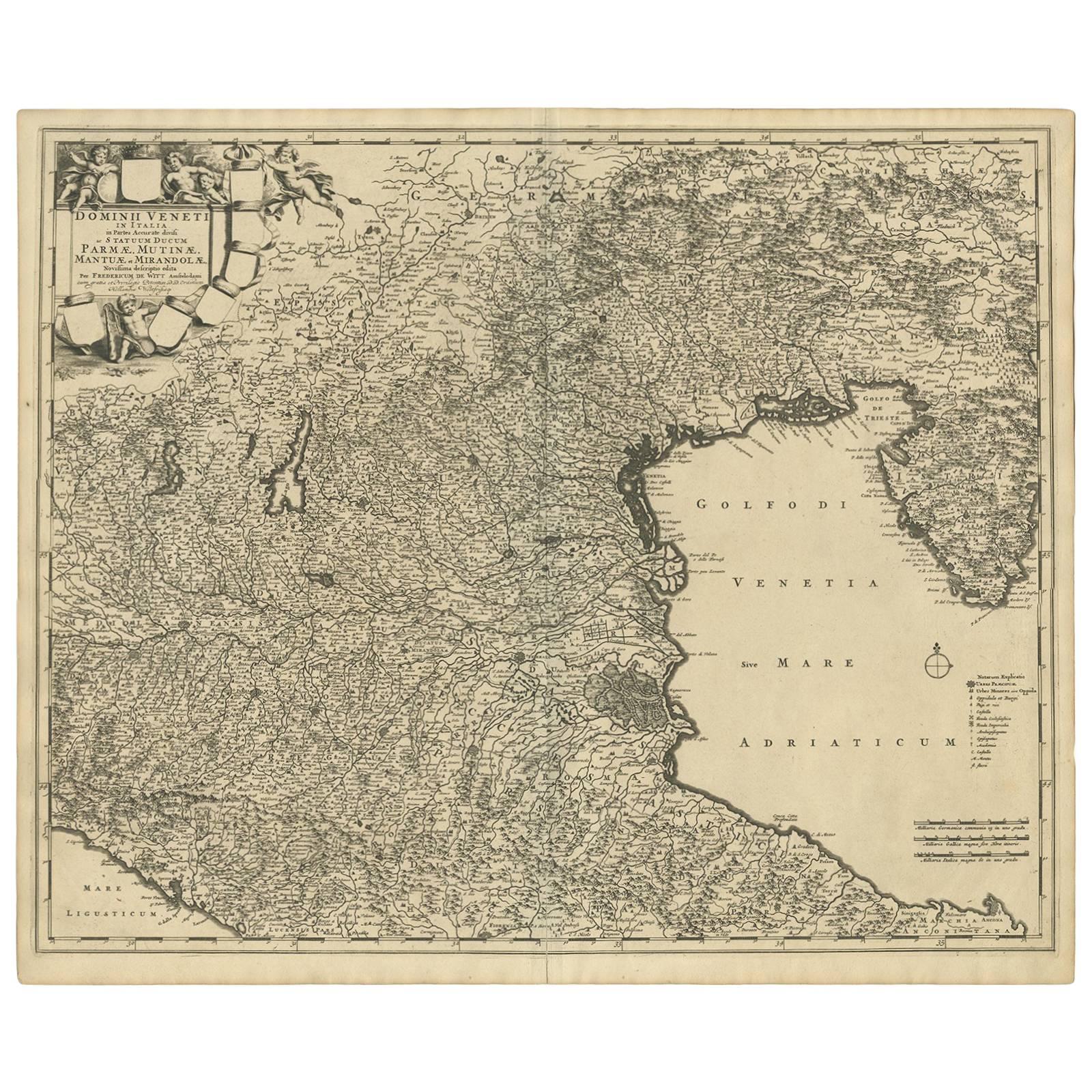
- Antique Map of Spain by N. de Fer, circa 1700Located in Langweer, NLAntique map of Spain and Portugal with a title cartouche. Nicolas de Fer was the youngest son of the Paris printer and publisher Antoine de Fer. At the ...Category
Antique Early 18th Century Maps
MaterialsPaper
 $131 Sale Price25% Off
 - Antique Map of Portugal by P. Schenk, circa 1700Located in Langweer, NLAntique map titled 'Portugalliae et Algarbia'. Striking example of Schenk's rare map of Portugal, with the coats of arms of Portugal, Algarbia and a Spanish sailing vessell in the ca...Category
Antique Early 18th Century Maps
MaterialsPaper
 $709 Sale Price24% Off
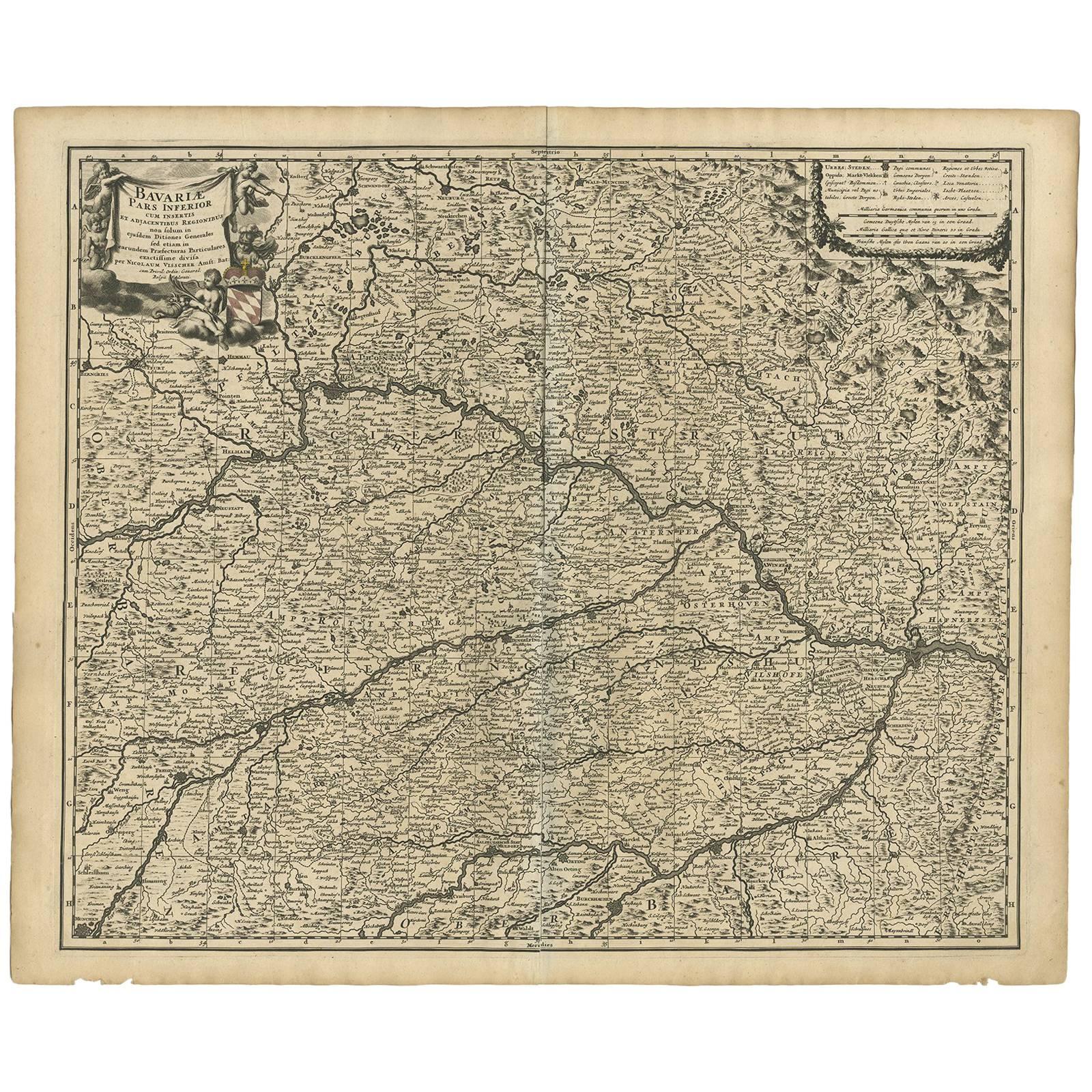
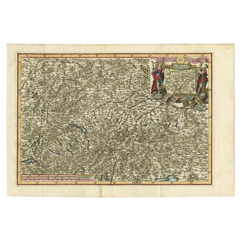
 - Antique Map of Bavaria ‘Bayern, Germany’ by N. Visscher, circa 1700Located in Langweer, NLAntique map titled 'Bavariae pars inferior cum insertis et adjacentibus regionibus (..)'. Published circa 1700 in N. Visscher's World Atlas. The map "Bavariae pars inferior cum inse...Category
Antique Early 18th Century Maps
MaterialsPaper
 $436 Sale Price34% Off
 - Antique Map of the Alsace Region of France by Schenk 'circa 1700'Located in Langweer, NLAntique map titled 'Superioris atque Inferioris Alsatiae'. Beautiful map of the Alsace region, from Basel in the south to Philipsburg in the north, centered on Strassburg. Published ...Category
Antique Early 18th Century Maps
MaterialsPaper
 $524 Sale Price20% Off
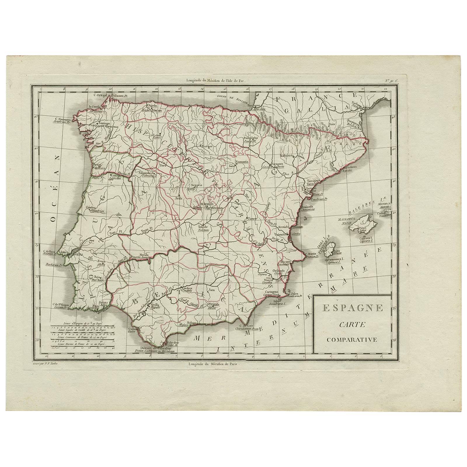
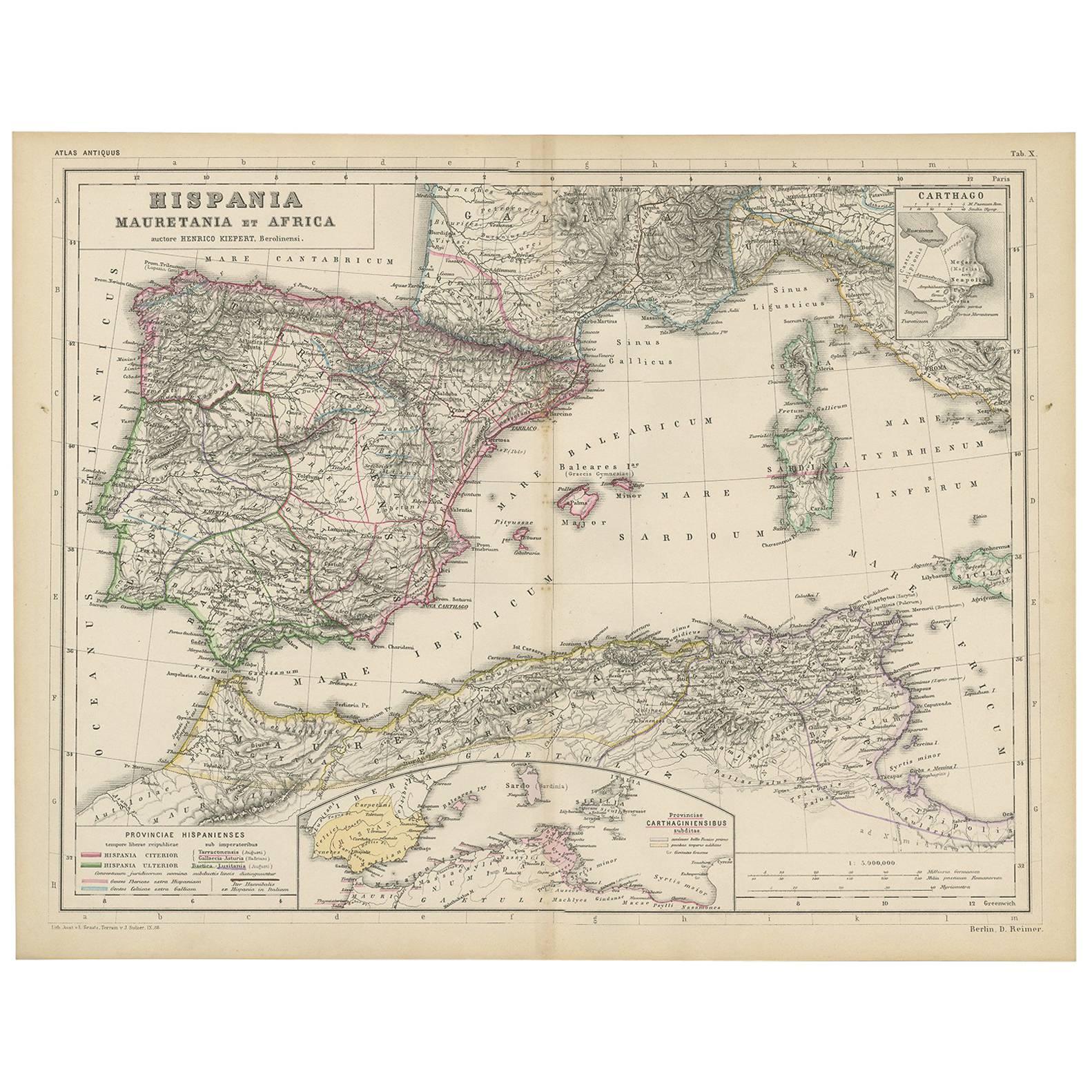
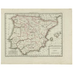
 - Antique Map of Spain by P.F. Tardieu, circa 1798By Pierre François TardieuLocated in Langweer, NLAntique map titled 'Espagne carte comparative', showing river systems, the modern states of Spain and Portugal and the Roman provinces of Lusitania, Beatica & Hispania Tarraconensis....Category
Antique Late 18th Century Maps
MaterialsPaper
 $124 Sale Price34% Off
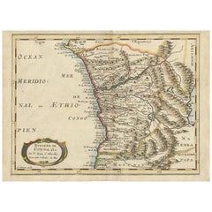
 - Antique Map of the Congo, Gabon and Angola by N. Sanson, circa 1700Located in Langweer, NLAttractive map of Gabon, the Congo and Angola from Cape Lopez and Sao Tomé to approximately the border with present-day Namibia. The map is fully engraved with mountains, rivers, for...Category
Antique Early 18th Century Maps
MaterialsPaper
You May Also Like
- Original Antique Map of Spain and Portugal, circa 1790Located in St Annes, LancashireSuper map of Spain and Portugal Copper plate engraving by A. Bell Published, circa 1790. Unframed.Category
Antique 1790s English Other Maps
MaterialsPaper
- Original Antique Map of South America, circa 1830Located in St Annes, LancashireGreat map of South America Copper plate engraving Published by Butterworth, Livesey & Co., circa 1830 Unframed.Category
Antique Early 1800s English Other Maps
MaterialsPaper

- Original Antique Map of Spain and Portugal by Thomas Clerk, 1817Located in St Annes, LancashireGreat map of Spain and Portugal Copper-plate engraving Drawn and engraved by Thomas Clerk, Edinburgh. Published by Mackenzie And Dent, 1817 Unframed.Category
Antique 1810s English Maps
MaterialsPaper
- Original Antique Map of Spain and Portugal, Engraved By Barlow, 1806Located in St Annes, LancashireGreat map of Spain And Portugal Copper-plate engraving by Barlow Published by Brightly & Kinnersly, Bungay, Suffolk. 1806 Unframed.Category
Antique Early 1800s English Maps
MaterialsPaper
- Original Antique Map of Belgium by Tallis, Circa 1850Located in St Annes, LancashireGreat map of Belgium Steel engraving Many lovely vignettes Published by London Printing & Publishing Co. ( Formerly Tallis ), C.1850 Origin...Category
Antique 1850s English Maps
MaterialsPaper
- Antique Map of Principality of MonacoBy Antonio Vallardi EditoreLocated in Alessandria, PiemonteST/619 - "Old Geographical Atlas of Italy - Topographic map of ex-Principality of Monaco" - ediz Vallardi - Milano - A somewhat special edition ---Category
Antique Late 19th Century Italian Other Prints
MaterialsPaper
 $227 Sale Price74% Off


Recently Viewed
View AllMore Ways To Browse
Spanish Andalusia
Andalusia Map
Russian Collectable
Office World Map
Sea Collectables
Antique Curiosities Prints
Antique Appreciation
United States Map
Antique Collectible Plate
Prints Of Antique Maps
Antique Over A Hundred Years Old
Antique Furniture Plans
Antique Rare Maps
Rare Antique Maps
Original Antique World Map
Map Of United States
Antique German Collectible
Authentic Antique Maps