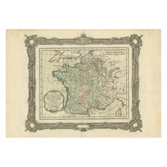
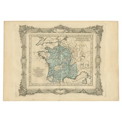
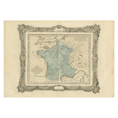
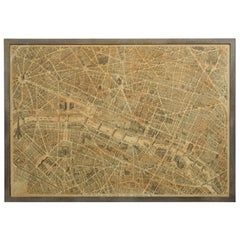
Antique Map of France under the Reign of Henry IV, 1765
View Similar Items


Want more images or videos?
Request additional images or videos from the seller
1 of 7
Antique Map of France under the Reign of Henry IV, 1765
About the Item
- Dimensions:Height: 11.03 in (28 cm)Width: 15.75 in (40 cm)Depth: 0 in (0.01 mm)
- Materials and Techniques:
- Period:
- Date of Manufacture:1765
- Condition:Condition: Very good, please study image carefully.
- Seller Location:Langweer, NL
- Reference Number:Seller: BG-11796-451stDibs: LU3054326274762
About the Seller
5.0
Platinum Seller
These expertly vetted sellers are 1stDibs' most experienced sellers and are rated highest by our customers.
Established in 2009
1stDibs seller since 2017
1,909 sales on 1stDibs
More From This SellerView All
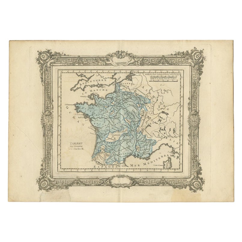
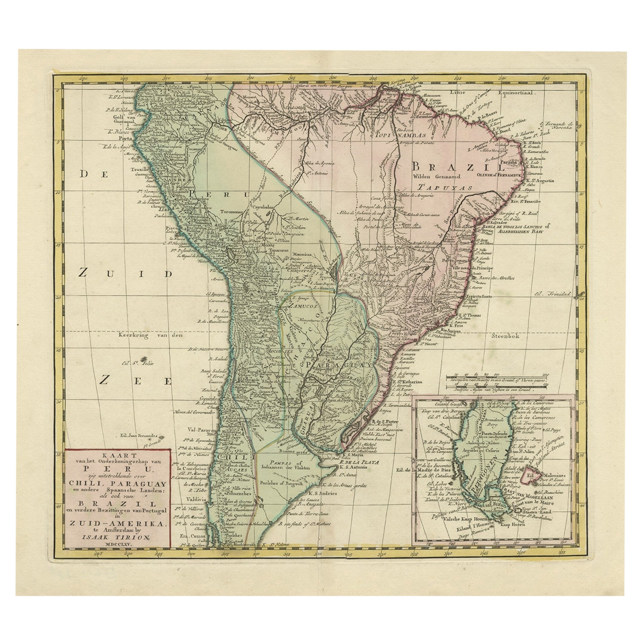
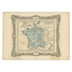
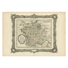
- Antique Map of France under the Reign of Charles IX by Zannoni, 1765Located in Langweer, NLAntique map France titled 'Tableau du Domaine sous Charles IX (..)'. Beautiful old map of France. This map originates from 'Atlas Historique de la France An...Category
Antique 18th Century Maps
MaterialsPaper
- Antique Map of France under the Reign of Henry IV by Zannoni, 1765Located in Langweer, NLAntique map France titled 'Carte de la réunion de la Basse Navarre (..)'. Beautiful old map of France. This map originates from 'Atlas Historique de la France Ancienne et Moderne' by...Category
Antique 18th Century Maps
MaterialsPaper
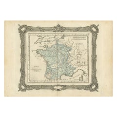
- Antique Map of France under the Reign of Henry III by Zannoni, 1765Located in Langweer, NLAntique map France titled 'Etat de la France pendant le Règne d'Henri III (..)'. Beautiful old map of France. This map originates from 'Atlas Historique de l...Category
Antique 18th Century Maps
MaterialsPaper
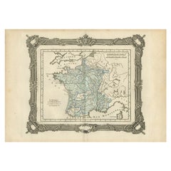
- Antique Map of France under the reign of Henry III by Zannoni, 1765Located in Langweer, NLAntique map France titled 'Carte de la réunion des Comtés d'Evreux et d'Alencon (..)'. Beautiful old map of France. This map originates from 'Atlas Historique de la France Ancienne e...Category
Antique 18th Century Maps
MaterialsPaper
- Antique Map of France under the Reign of Francois I, 1765Located in Langweer, NLAntique map France titled 'Etat des Possessions de la Couronne (..)'. Beautiful old map of France. This map originates from 'Atlas Historique de la France Ancienne et Moderne' by...Category
Antique 18th Century Maps
MaterialsPaper
 $128 Sale Price20% Off
 - Antique Map of France under the Reign of Francois II, 1765Located in Langweer, NLAntique map France titled 'La Bretagne et le Cté de Penthièvre (..)'. Beautiful old map of France. This map originates from 'Atlas Historique de la France Ancienne et Moderne' by M. ...Category
Antique 18th Century Maps
MaterialsPaper
You May Also Like
- Original Antique Map of France, Arrowsmith, 1820Located in St Annes, LancashireGreat map of France Drawn under the direction of Arrowsmith. Copper-plate engraving. Published by Longman, Hurst, Rees, Orme and Brown, 1820 Unframed.Category
Antique 1820s English Maps
MaterialsPaper

- French 1930s Map of Paris à Vol d'Oiseau under Glass in Custom Iron FrameLocated in Atlanta, GAA French map of Paris from the early 20th century, with custom iron frame. Created in Paris during the second quarter of the 20th century, this map of Paris à vol d'oiseau (as the Cr...Category
Early 20th Century French Prints
MaterialsIron
- Map of the Republic of GenoaLocated in New York, NYFramed antique hand-coloured map of the Republic of Genoa including the duchies of Mantua, Modena, and Parma. Europe, late 18th century. Dimension: 25...Category
Antique Late 18th Century European Maps
- Antique Map of Principality of MonacoBy Antonio Vallardi EditoreLocated in Alessandria, PiemonteST/619 - "Old Geographical Atlas of Italy - Topographic map of ex-Principality of Monaco" - ediz Vallardi - Milano - A somewhat special edition ---Category
Antique Late 19th Century Italian Other Prints
MaterialsPaper
 $226 Sale Price74% Off
 - Original Antique Map of The World by Thomas Clerk, 1817Located in St Annes, LancashireGreat map of The Eastern and Western Hemispheres On 2 sheets Copper-plate engraving Drawn and engraved by Thomas Clerk, Edinburgh. Published by Mackenzie And Dent, 1817 ...Category
Antique 1810s English Maps
MaterialsPaper
- Antique 18th Century Map of the Province of Pensilvania 'Pennsylvania State'Located in Philadelphia, PAA fine antique of the colony of Pennsylvania. Noted at the top of the sheet as a 'Map of the province of Pensilvania'. This undated and anonymous map is thought to be from the Gentleman's Magazine, London, circa 1775, although the general appearance could date it to the 1760's. The southern boundary reflects the Mason-Dixon survey (1768), the western boundary is placed just west of Pittsburgh, and the northern boundary is not marked. The map has a number of reference points that likely refer to companion text and appear to be connected to boundaries. The western and southern boundaries are marked Q, R, S, for example. A diagonal line runs from the Susquehanna R to the Lake Erie P. A broken line marked by many letters A, B, N, O, etc., appears in the east. There are no latitude or longitude markings, blank verso. Framed in a shaped contemporary gilt wooden frame and matted under a cream colored matte. Bearing an old Graham Arader Gallery...Category
Antique 18th Century British American Colonial Maps
MaterialsPaper


Recently Viewed
View AllMore Ways To Browse
Furniture From The 40s
Antique Maps Of Paris
Antique Map Of Paris
Rare Map France
Antique Italian Maps
Antique Italy Maps
Antique Maps Italy
Antique Map Italy
Antique Italian Map
Antique Italy Map
Italy Antique Map
Italy Map Antique
Antique Maps Of Italy
Antique Map Of Italy
Map Of Italy Antique
Antique Map Of Paris France
Henry Iv
Antique French 18th Century Map