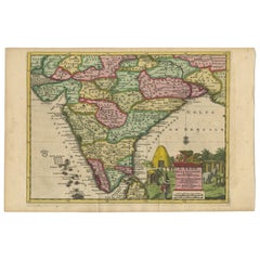
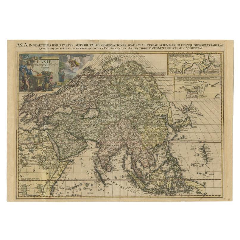
Antique Map of India during the Height of the Mughal Imperial Expansion, 1713
View Similar Items


Want more images or videos?
Request additional images or videos from the seller
1 of 5
Antique Map of India during the Height of the Mughal Imperial Expansion, 1713
About the Item
- Dimensions:Height: 14.57 in (37 cm)Width: 9.65 in (24.5 cm)Depth: 0 in (0.01 mm)
- Materials and Techniques:
- Period:
- Date of Manufacture:1713
- Condition:
- Seller Location:Langweer, NL
- Reference Number:Seller: BG-116201stDibs: LU3054326359242
About the Seller
5.0
Platinum Seller
These expertly vetted sellers are 1stDibs' most experienced sellers and are rated highest by our customers.
Established in 2009
1stDibs seller since 2017
More From This SellerView All
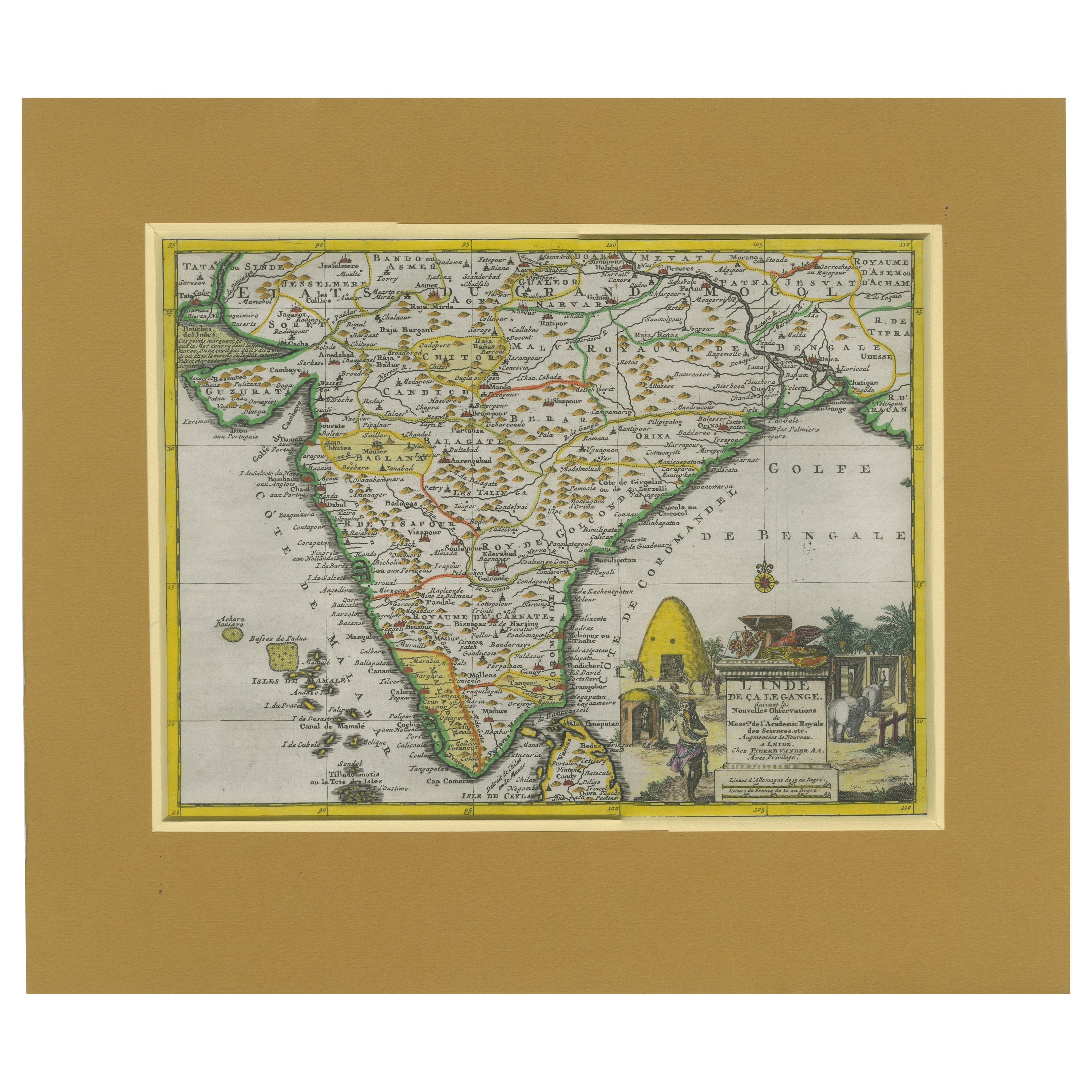
- Antique Map of India during the height of the Mughal Imperial Expansion, 1713Located in Langweer, NLAntique map titled 'L'Inde de ca le Gange (..)'. Beautiful original antique map embracing most of India, made during the height of the Mughal imperial expansion. The map encompasses ...Category
Antique Early 18th Century Maps
MaterialsPaper
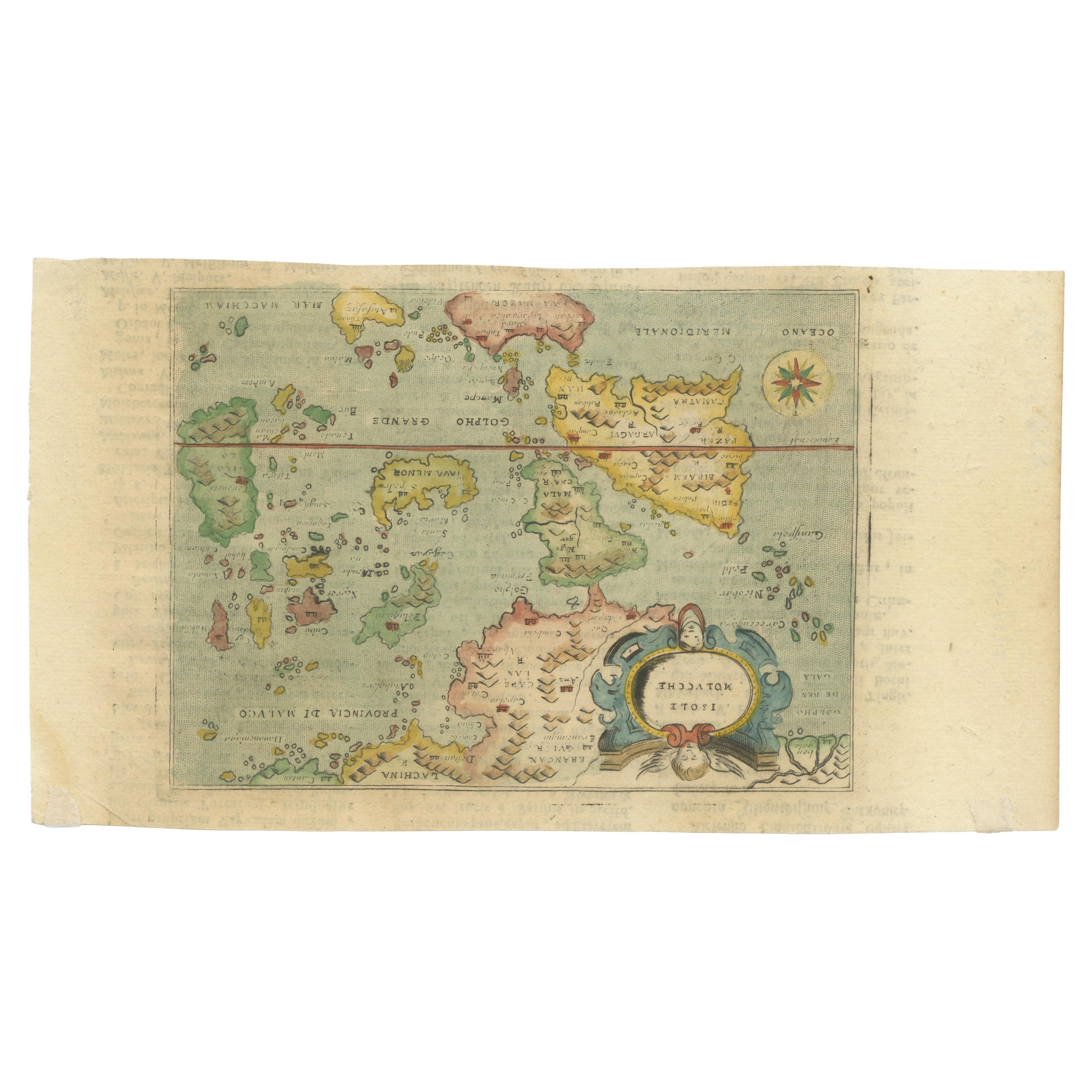
- Antique Miniature Map of the Maluku Islands by Lasor a Varea, 1713Located in Langweer, NLAntique map titled 'Isole Molucche'. Rare miniature map of the Maluku Islands or the Moluccas, Indonesia. This map originates from 'Universus Terrarum Orbis...Category
Antique Early 18th Century Maps
MaterialsPaper
- Antique Map of the Island of Java, Indonesia by P. Van Der Aa, 1713Located in Langweer, NLThis rare map shows the Indonesian island of Java. With compass rose and scale. From: Nouvel Atlas, très exact et fort commode pour toutes sortes de personnes, Contenant Les Principa...Category
Antique Early 18th Century Maps
MaterialsPaper
 $479 Sale Price35% Off
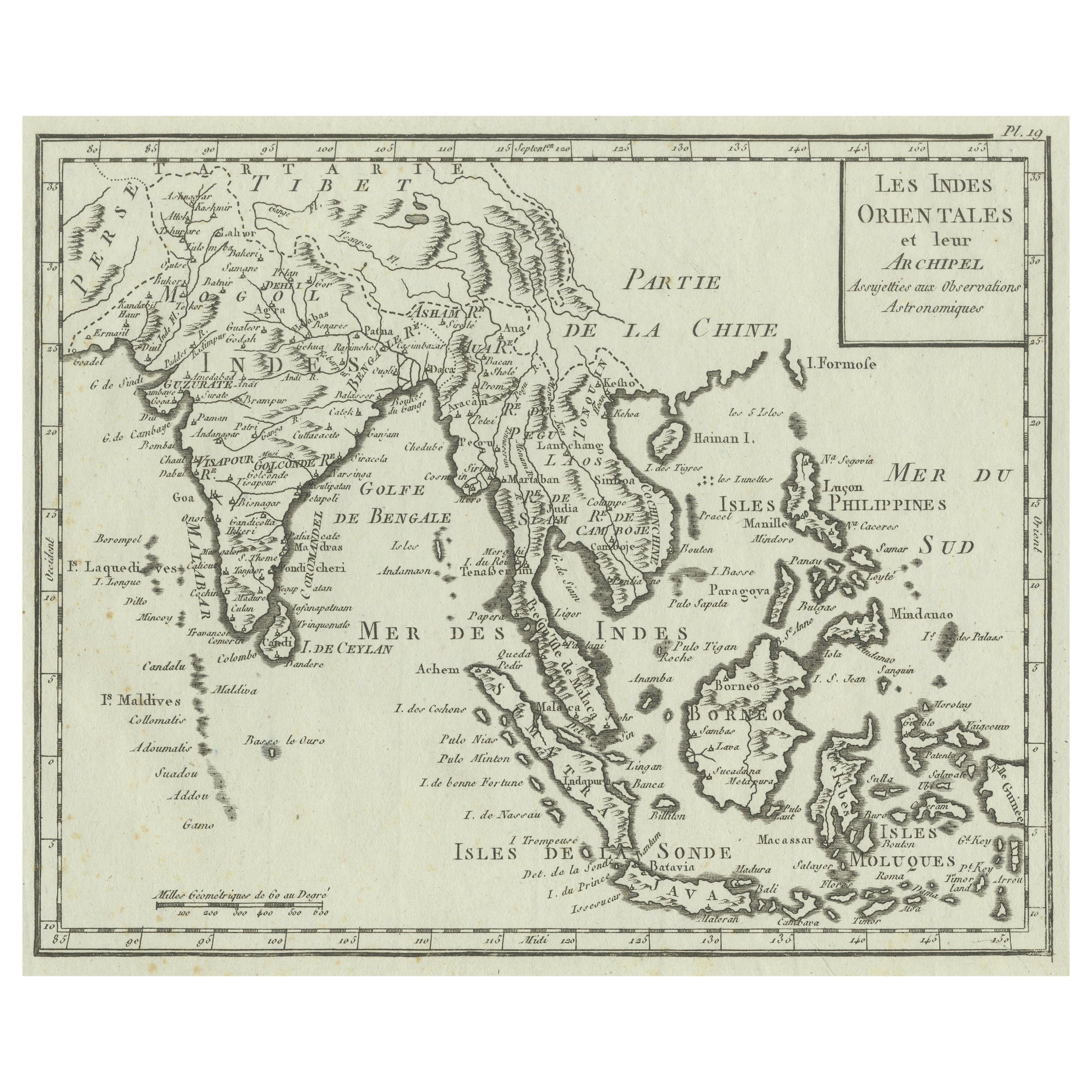
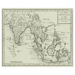
 - Antique Map of India, the East Indies and the PhilippinesLocated in Langweer, NLAntique map titled 'Les Indes Orientales et leur Archipel'. Original antique map of India, the East Indies and the Philippines. Source unknown, to be determined. Published circa 1760.Category
Antique Mid-18th Century Maps
MaterialsPaper
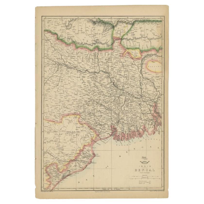
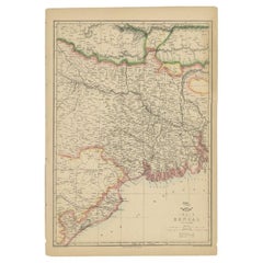
- Antique Map of the Region of the Bay of Bengal, India, c.1863By Edward WellerLocated in Langweer, NLAntique map titled 'India Bengal'. Old map of India depicting the region near the Bay of Bengal. Originates from the 'Weekly Dispatch Atlas'. Artist...Category
Antique 19th Century Maps
MaterialsPaper
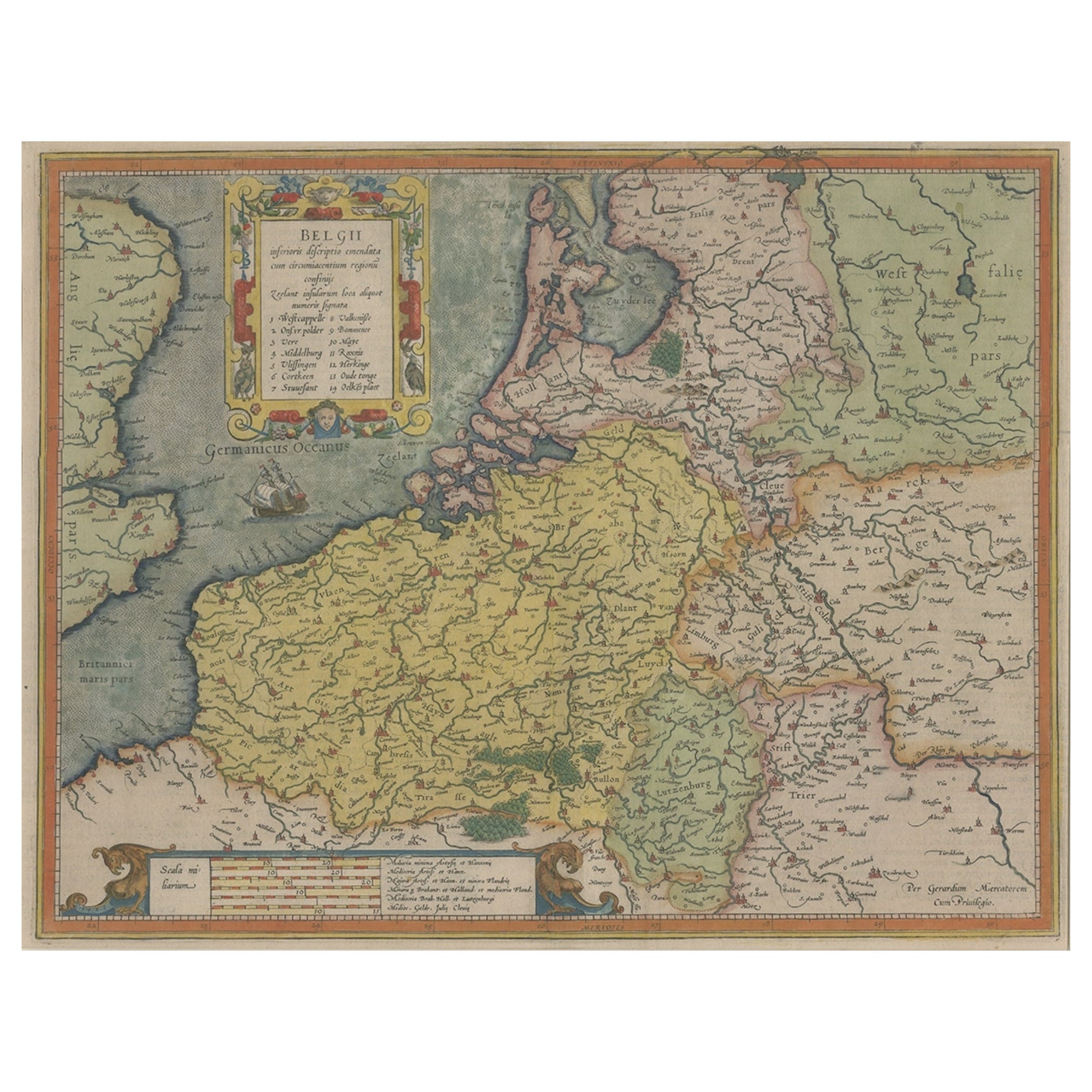
- Original Antique Map of Northern IndiaBy Jakob van der SchleyLocated in Langweer, NLAntique map titled 'Carte de l'Indoustan (..) - Kaart van Hindoestan (..)'. Original antique map of northern India. This map originates from 'His...Category
Antique Mid-18th Century Maps
MaterialsPaper

You May Also Like
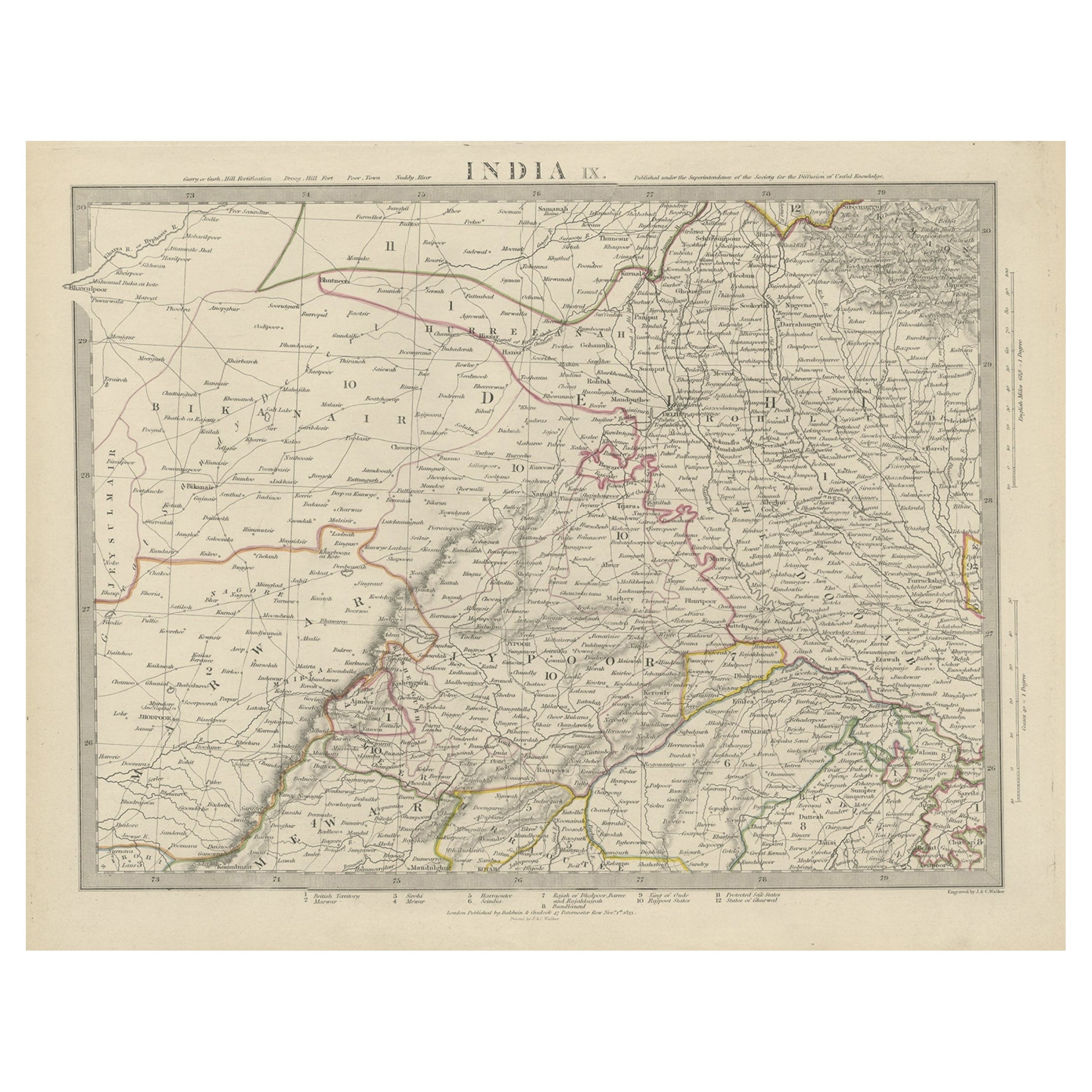
- Original Antique Map of India. C.1780Located in St Annes, LancashireGreat map of India Copper-plate engraving Published C.1780 Three small worm holes to right side of map and one bottom left corner Unframed.Category
Antique Early 1800s English Georgian Maps
MaterialsPaper

- Map of the Republic of GenoaLocated in New York, NYFramed antique hand-coloured map of the Republic of Genoa including the duchies of Mantua, Modena, and Parma. Europe, late 18th century. Dimension: 25...Category
Antique Late 18th Century European Maps
- Antique Map of Principality of MonacoBy Antonio Vallardi EditoreLocated in Alessandria, PiemonteST/619 - "Old Geographical Atlas of Italy - Topographic map of ex-Principality of Monaco" - ediz Vallardi - Milano - A somewhat special edition ---Category
Antique Late 19th Century Italian Other Prints
MaterialsPaper
 $225 Sale Price74% Off
 - Antique 18th Century Map of the Province of Pensilvania 'Pennsylvania State'Located in Philadelphia, PAA fine antique of the colony of Pennsylvania. Noted at the top of the sheet as a 'Map of the province of Pensilvania'. This undated and anonymous map is thought to be from the Gentleman's Magazine, London, circa 1775, although the general appearance could date it to the 1760's. The southern boundary reflects the Mason-Dixon survey (1768), the western boundary is placed just west of Pittsburgh, and the northern boundary is not marked. The map has a number of reference points that likely refer to companion text and appear to be connected to boundaries. The western and southern boundaries are marked Q, R, S, for example. A diagonal line runs from the Susquehanna R to the Lake Erie P. A broken line marked by many letters A, B, N, O, etc., appears in the east. There are no latitude or longitude markings, blank verso. Framed in a shaped contemporary gilt wooden frame and matted under a cream colored matte. Bearing an old Graham Arader Gallery...Category
Antique 18th Century British American Colonial Maps
MaterialsPaper
- Original Antique Map of The World by Thomas Clerk, 1817Located in St Annes, LancashireGreat map of The Eastern and Western Hemispheres On 2 sheets Copper-plate engraving Drawn and engraved by Thomas Clerk, Edinburgh. Published by Mackenzie And Dent, 1817 ...Category
Antique 1810s English Maps
MaterialsPaper
- Map "Estuary- Mouth of the Thames"Located in Alessandria, PiemonteST/426 - Antique French Map of the estuary of the Thames, map dated 1769 - "Mape of the entrance of the Thames. Designed by filing of Navy cards fo...Category
Antique Mid-18th Century French Other Prints
MaterialsPaper
 $953 Sale Price20% Off


Recently Viewed
View AllMore Ways To Browse
Antique Dutch Commodes
Pirate Antique
Antique Pirate
Mughal Print
Mughal Map
Antique Maps Of United States
Antique Collectible Bears
United States Map Vintage
United States Vintage Map
Amsterdam Map
Map Of Amsterdam
Antique Old World Map
Old World Antique Map
Old Antique World Map
Old World Antique Maps
Antique Old Map Of The World
18th Russian Furniture
Furniture Russian 18th Century