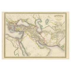
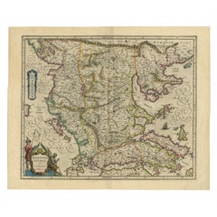
Antique Map of the Macedonian Empire of Alexander the Great 'c.1860'
View Similar Items

Want more images or videos?
Request additional images or videos from the seller
1 of 5
Antique Map of the Macedonian Empire of Alexander the Great 'c.1860'
About the Item
- Dimensions:Height: 24.02 in (61 cm)Width: 33.08 in (84 cm)Depth: 0.02 in (0.5 mm)
- Materials and Techniques:
- Period:
- Date of Manufacture:circa 1860
- Condition:General age-related toning. Original folding line. Blank verso. Please study image carefully.
- Seller Location:Langweer, NL
- Reference Number:Seller: BG-12996-31stDibs: LU3054324424992
About the Seller
5.0
Platinum Seller
These expertly vetted sellers are 1stDibs' most experienced sellers and are rated highest by our customers.
Established in 2009
1stDibs seller since 2017
1,909 sales on 1stDibs
More From This SellerView All
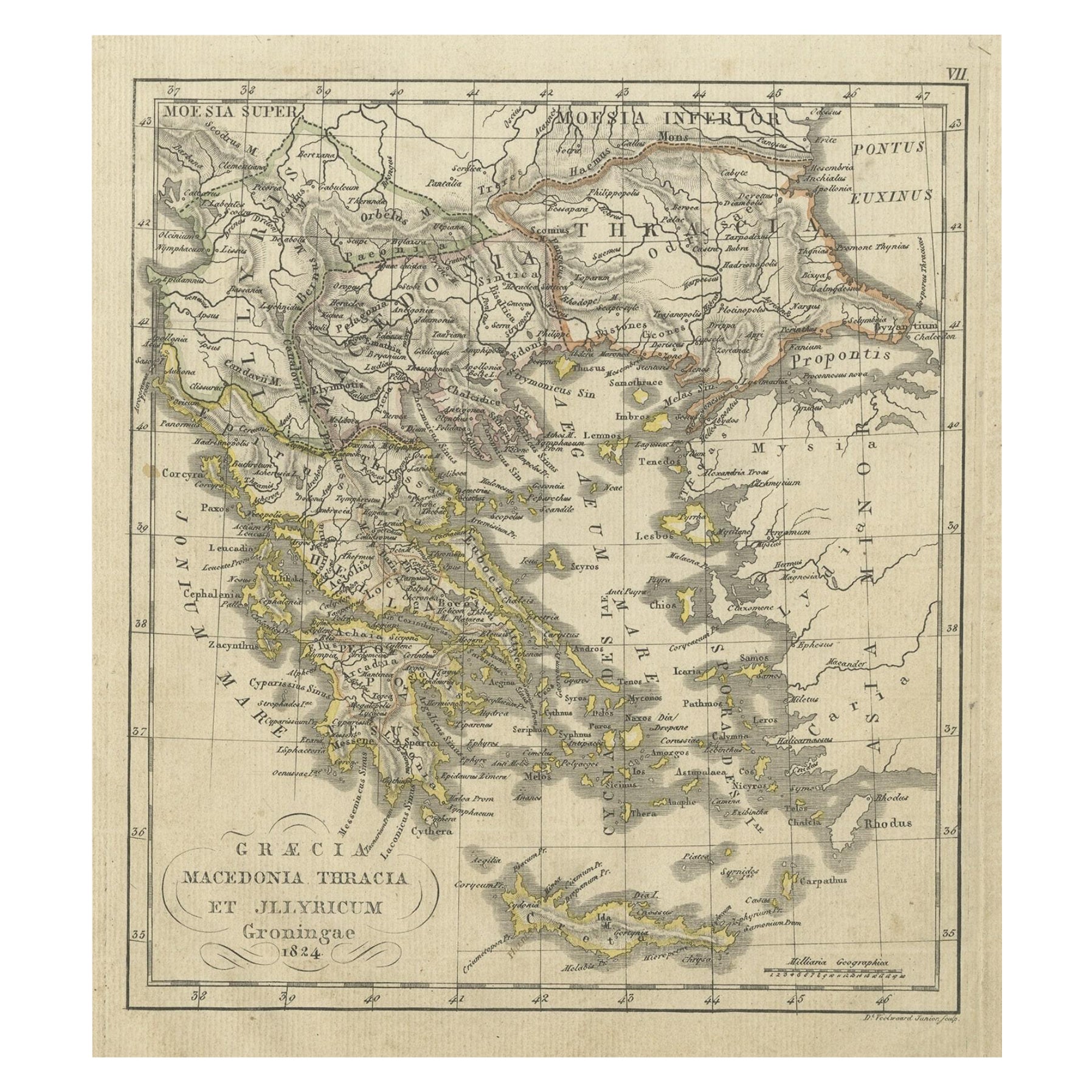
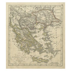
- Antique Map of Greece and Macedonia, 1825Located in Langweer, NLAntique map titled 'Graecia, Macedonia Thracia et Jllyricum'. Old map of Greece and Macedonia originating from 'Atlas der Oude Wereld'. Artists and Engravers: Published by C. Ph. Fun...Category
Antique 19th Century Maps
MaterialsPaper
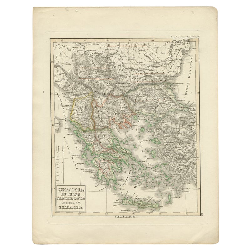
- Antique Map of Greece and Macedonia, 1848Located in Langweer, NLAntique map titled 'Graecia Epirus Macedonia Moesia Thracia'. Old map of Greece originating from 'Orbis Terrarum Antiquus in usum Scholarum'. Artists and Engravers: Published by Just...Category
Antique 19th Century Maps
MaterialsPaper
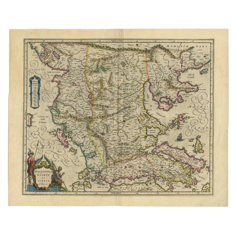
- Antique Map of Macedonia by the Famous Mapmaker Blaeu, c.1650Located in Langweer, NLAntique map titled 'Macedonia, Epirus et Achaia'. Ornated with a nice allegoric cartouche, one ship and a milage scale. Macedonia is shown in the centre of the map. With many detai...Category
Antique 17th Century Maps
MaterialsPaper
 $998 Sale Price20% Off
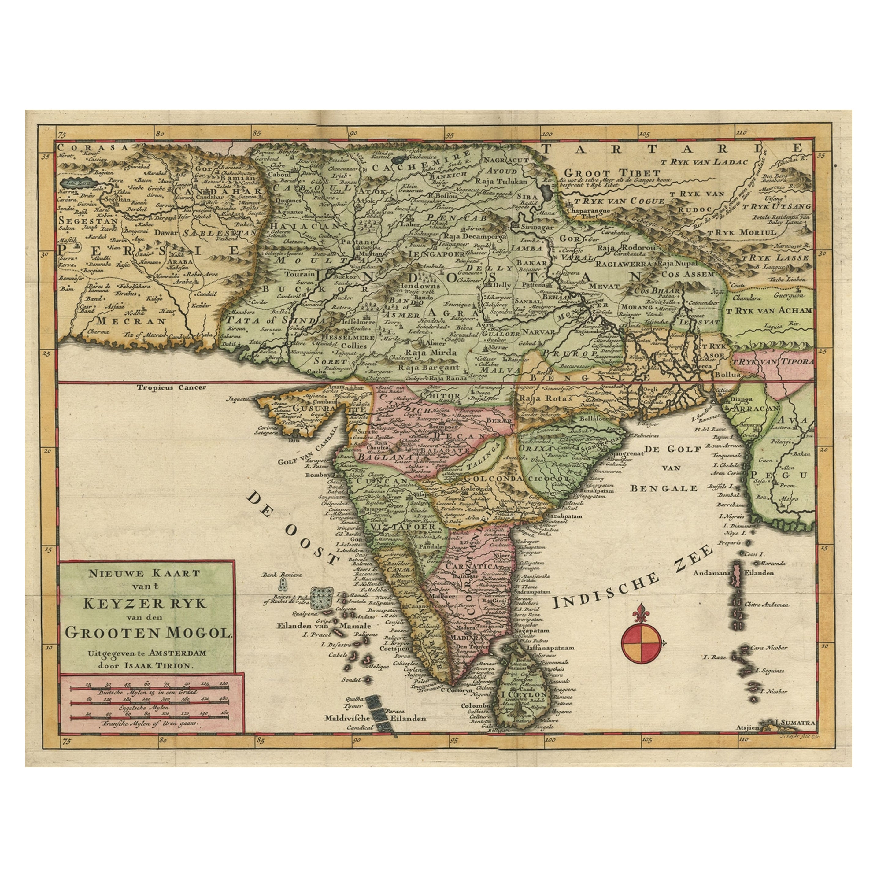
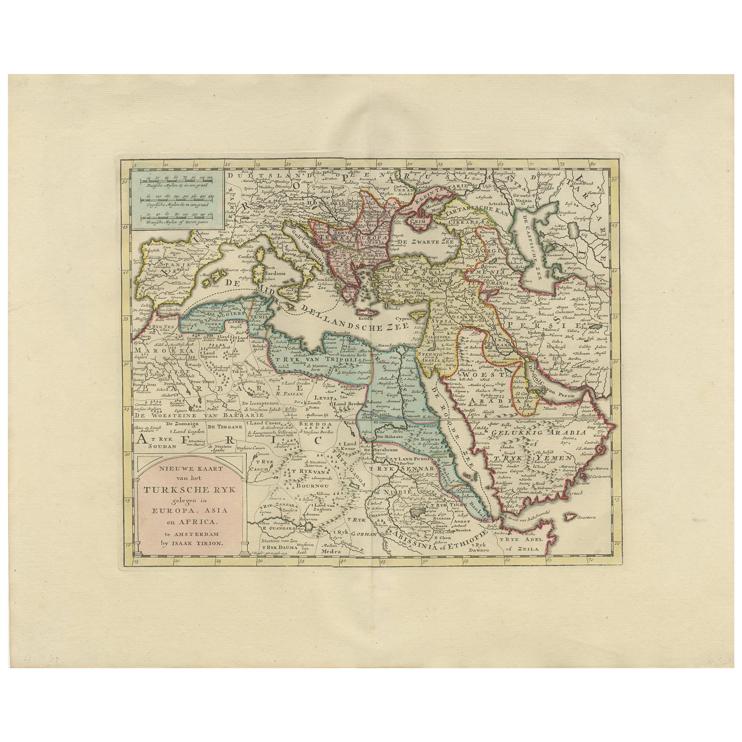
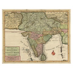
 - Attractive Detailed Map of the Empire of the Great Mogul, Incl India, 1731Located in Langweer, NLAntique map titled 'Nieuwe Kaart van t Keyzer Ryk Grooten Mogol.' Attractive detailed map of the Empire of the Great Mogul, which included India, Sri Lanka, Pakistan and Banglade...Category
Antique 1730s Maps
MaterialsPaper
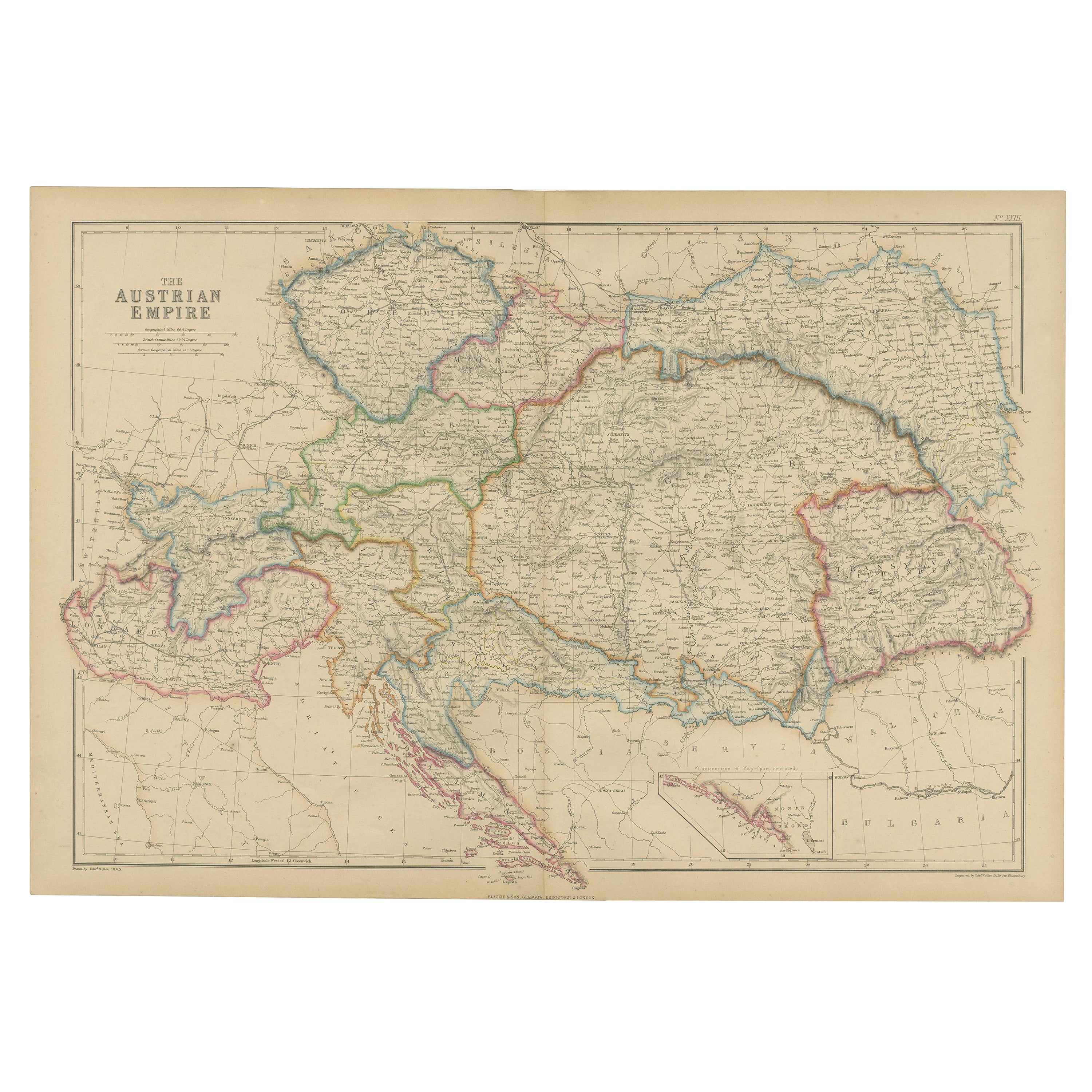
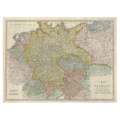
- Large Antique Map of the German EmpireLocated in Langweer, NLAntique map titled 'A Map of Germany (..)'. Large antique map of the German Empire, highly detailed. Engraved by T. Kitchin. Published J. Blair, cir...Category
Antique Late 18th Century Maps
MaterialsPaper
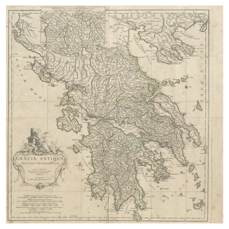
- Large Scale Map of Greece with Inset Map of Macedonia, c.1786Located in Langweer, NLAntique map titled 'Graeciae Antiquae'. Large scale map of Greece, extends south to the island of Cythera. Inset map shows details of Macedonia. Publis...Category
Antique 18th Century Maps
MaterialsPaper


You May Also Like
- Map of the Republic of GenoaLocated in New York, NYFramed antique hand-coloured map of the Republic of Genoa including the duchies of Mantua, Modena, and Parma. Europe, late 18th century. Dimension: 25...Category
Antique Late 18th Century European Maps
- Antique Map of Principality of MonacoBy Antonio Vallardi EditoreLocated in Alessandria, PiemonteST/619 - "Old Geographical Atlas of Italy - Topographic map of ex-Principality of Monaco" - ediz Vallardi - Milano - A somewhat special edition ---Category
Antique Late 19th Century Italian Other Prints
MaterialsPaper
 $225 Sale Price74% Off
 - Original Antique Map of The World by Thomas Clerk, 1817Located in St Annes, LancashireGreat map of The Eastern and Western Hemispheres On 2 sheets Copper-plate engraving Drawn and engraved by Thomas Clerk, Edinburgh. Published by Mackenzie And Dent, 1817 ...Category
Antique 1810s English Maps
MaterialsPaper
- Antique 18th Century Map of the Province of Pensilvania 'Pennsylvania State'Located in Philadelphia, PAA fine antique of the colony of Pennsylvania. Noted at the top of the sheet as a 'Map of the province of Pensilvania'. This undated and anonymous map is thought to be from the Gentleman's Magazine, London, circa 1775, although the general appearance could date it to the 1760's. The southern boundary reflects the Mason-Dixon survey (1768), the western boundary is placed just west of Pittsburgh, and the northern boundary is not marked. The map has a number of reference points that likely refer to companion text and appear to be connected to boundaries. The western and southern boundaries are marked Q, R, S, for example. A diagonal line runs from the Susquehanna R to the Lake Erie P. A broken line marked by many letters A, B, N, O, etc., appears in the east. There are no latitude or longitude markings, blank verso. Framed in a shaped contemporary gilt wooden frame and matted under a cream colored matte. Bearing an old Graham Arader Gallery...Category
Antique 18th Century British American Colonial Maps
MaterialsPaper
- Map "Estuary- Mouth of the Thames"Located in Alessandria, PiemonteST/426 - Antique French Map of the estuary of the Thames, map dated 1769 - "Mape of the entrance of the Thames. Designed by filing of Navy cards fo...Category
Antique Mid-18th Century French Other Prints
MaterialsPaper
 $954 Sale Price20% Off
 - England, Scotland & Ireland: A Hand Colored Map of Great Britain by TirionBy Isaak TirionLocated in Alamo, CAThis is a hand-colored double page copperplate map of Great Britain entitled "Nieuwe Kaart van de Eilanden van Groot Brittannien Behelzende de Kon...Category
Antique Mid-18th Century Dutch Maps
MaterialsPaper


