Items Similar to Antique Miniature Map of Java by Bertius/Hondius '1618'


Want more images or videos?
Request additional images or videos from the seller
1 of 5
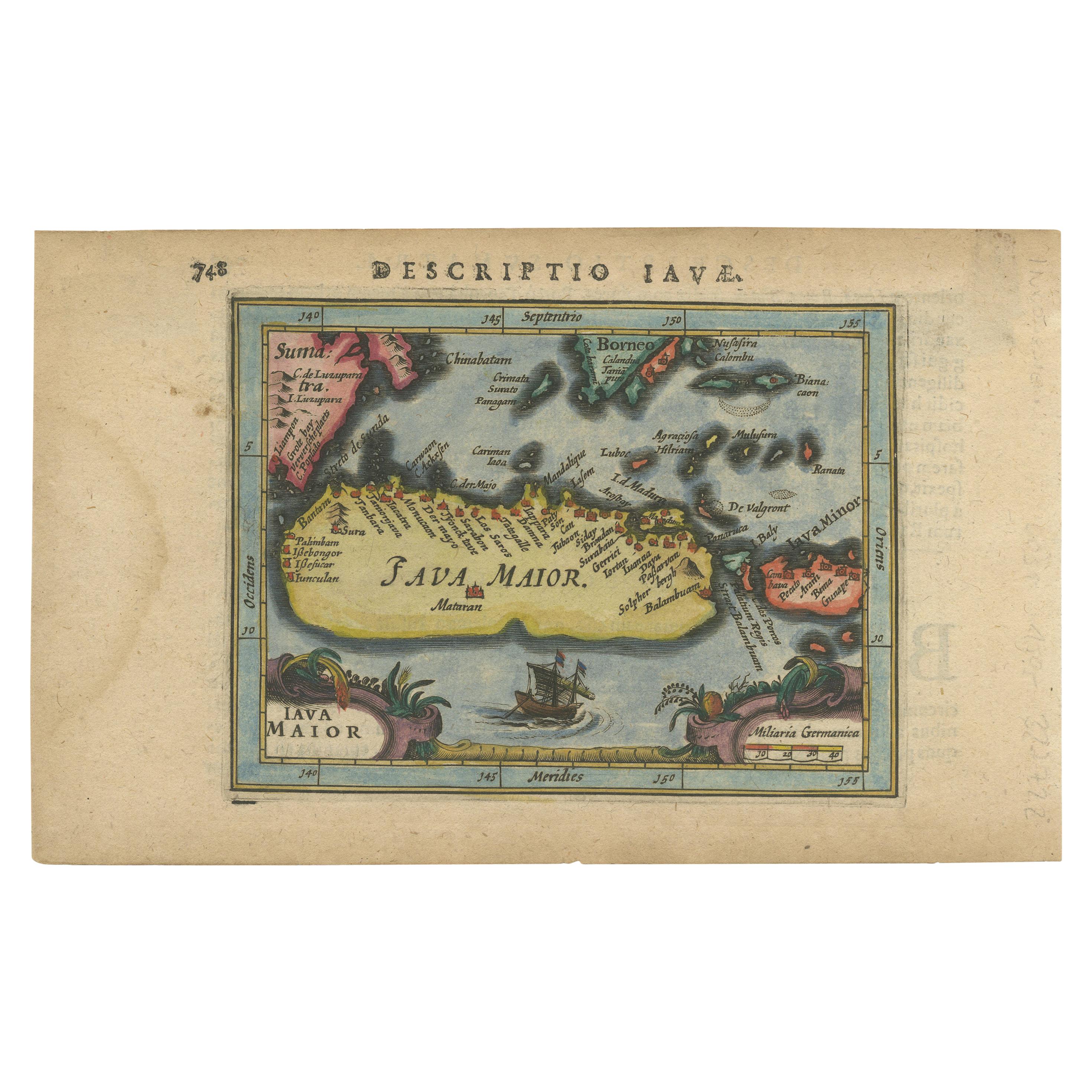
Antique Miniature Map of Java by Bertius/Hondius '1618'
About the Item
Rare antique miniature map titled 'Iava Maior'. This map shows the northern coastline of Java (Indonesia) with numerous place names, but the southern coastline is entirely conjectural. Engraved by P. Bertius. Published by J. Hondius Jr. in a French edition of 'Tabularum Geographicarum'.
- Dimensions:Height: 4.93 in (12.5 cm)Width: 7.09 in (18 cm)Depth: 0.02 in (0.5 mm)
- Materials and Techniques:
- Period:Early 17th Century
- Date of Manufacture:1618
- Condition:General age-related toning, small stains in the margins. French text on verso, please study images carefully.
- Seller Location:Langweer, NL
- Reference Number:
About the Seller
5.0
Platinum Seller
These expertly vetted sellers are 1stDibs' most experienced sellers and are rated highest by our customers.
Established in 2009
1stDibs seller since 2017
1,914 sales on 1stDibs
Typical response time: <1 hour
- ShippingRetrieving quote...Ships From: Langweer, Netherlands
- Return PolicyA return for this item may be initiated within 14 days of delivery.
More From This SellerView All
- Antique Miniature Map of Java by Bertius '1618'Located in Langweer, NLAntique miniature map titled 'Iava Maior'. Rare miniature map of Java, Indonesia. This map originates from 'Tabularum Geographicarum Contractarum Libri s...Category
Antique Early 17th Century Maps
MaterialsPaper
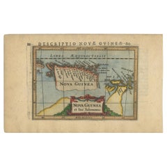
- Antique Miniature Map of New Guinea by Bertius, '1618'Located in Langweer, NLAntique miniature map titled 'Nova Guinea et Ins. Salomonis'. Rare miniature map of New Guinea (Solomon Islands). This map originates from 'Tabularum Geo...Category
Antique Early 17th Century Maps
MaterialsPaper
- Antique Miniature Map of the Turkish Empire by Bertius '1618'Located in Langweer, NLAntique miniature map titled 'Turcicum Imperium'. Rare miniature map of the Turkish Empire. This map originates from 'Tabularum Geographicarum Contractarum Libri septem (..)' by P. B...Category
Antique Early 17th Century Maps
MaterialsPaper
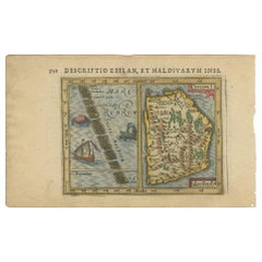
- Antique Miniature Map of Ceylon 'Sri Lanka' and the Maldives by Bertius, 1618Located in Langweer, NLAntique map titled 'Descriptio Zeilan, et Maldivarum Inss'. Rare, original antique miniature map of Ceylon/Sri Lanka and the Maldives. This map originate...Category
Antique Early 17th Century Maps
MaterialsPaper
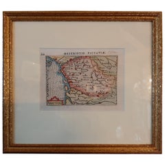
- Antique Miniature Map of the region of Poitou 'France' by Bertius, circa 1600Located in Langweer, NLAntique map titled 'Poictou'. Miniature map of the region of Poitou, France. Published by Pieter Bertius, circa 1600. Frame included. We carefully pack our framed items to ensure...Category
Antique Early 17th Century Maps
MaterialsPaper
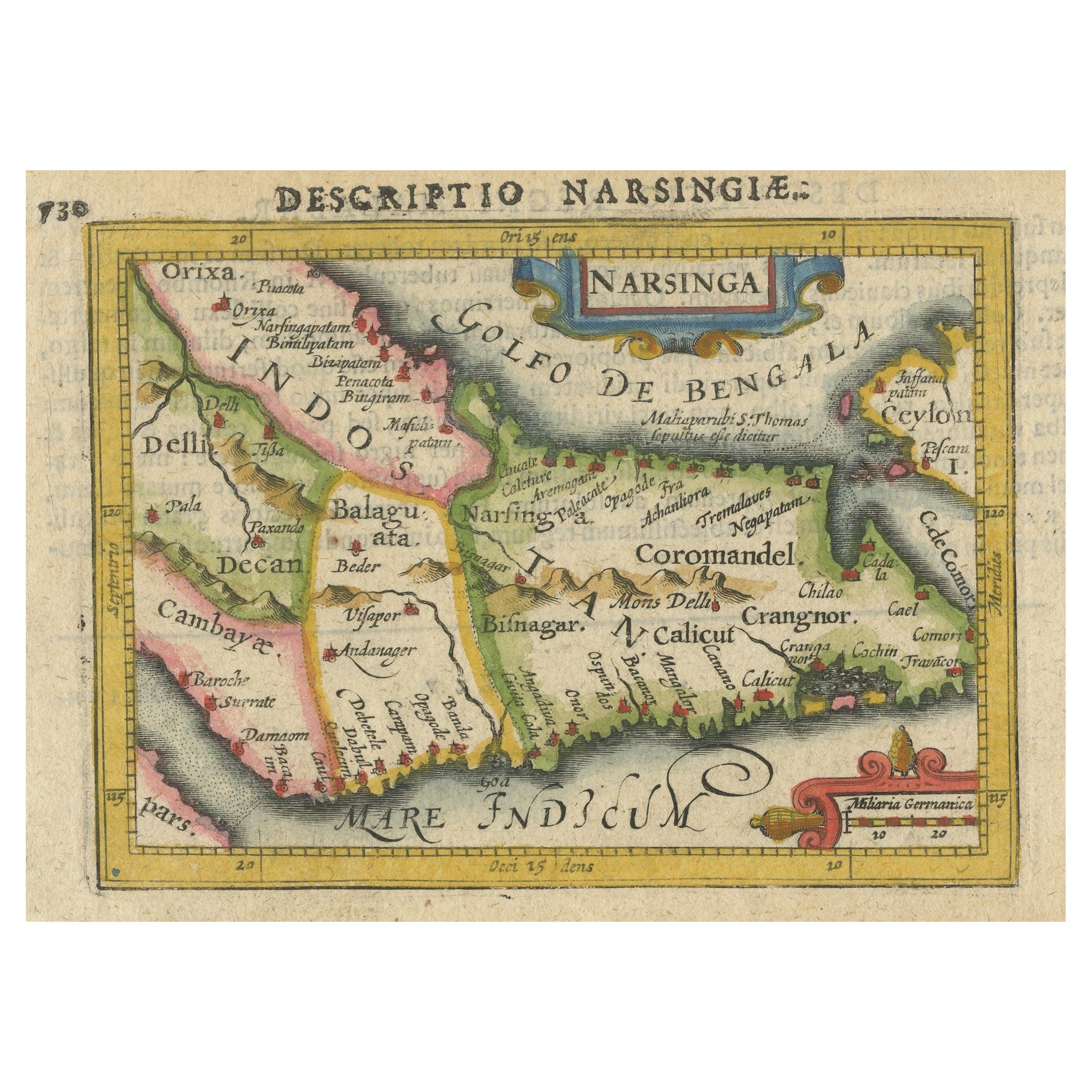
- Colorful and Decorative Miniature Map of India, Ceylon by Bertius 1616Located in Langweer, NLOld 17th century miniature antique map of India - Ceylon from the 1616 edition of Jadocus Hondius Atlas by Petrus Bertius. Original copperplate engraving with hand coloring. Carto...Category
Antique 17th Century Maps
MaterialsPaper


You May Also Like
- Antique 1630 Colored Belgium Map Flandria Gallica Flanders Henricus HondiusLocated in Dayton, OH"Antique hand colored map of Flanders, Belgium, circa 1630, engraved by Henricus Hondius. “Henricus Hondius II (1597 – 16 August 1651) was a Dutch eng...Category
Antique Early 17th Century Renaissance Maps
MaterialsPaper
- 17th Century Hand-Colored Map of West Africa by Mercator/HondiusLocated in Alamo, CAA 17th century hand-colored map entitled "Guineae Nova Descriptio" by Gerard Mercator and Jodocus Hondius, published in their 'Atlas Minor' in Amsterdam in 1635. It is focused on the...Category
Antique Mid-17th Century Dutch Maps
MaterialsPaper
- 17th Century Hand-Colored Map of Southeastern England by Mercator and HondiusBy Gerard MercatorLocated in Alamo, CAA 17th century copperplate hand-colored map entitled "The Sixt Table of England" by Gerard Mercator and Jodocus Hondius, published in Amsterdam in 1635 in 'Cosmographicall Descriptio...Category
Antique Mid-17th Century Dutch Maps
MaterialsPaper
- 17th Century Hand-Colored Map of Valencia and Murcia, Spain by Mercator/HondiusBy Gerard MercatorLocated in Alamo, CAA 17th century hand-colored map entitled "Regni Valentiae Typus, Valentia and Murcia" by Gerard Mercator and Joducus Hondius, published in Amsterdam in 1635 in 'Cosmographicall Descr...Category
Antique Mid-17th Century Dutch Maps
MaterialsPaper
- Southeastern Ireland: A 17th Century Hand Colored Map by Mercator and HondiusBy Gerard MercatorLocated in Alamo, CAA 17th century copperplate hand-colored map entitled "The Second Table of Ireland, Udrone" by Gerard Mercator and Jodocus Hondius, published in Amsterdam in 1635 in 'Cosmographicall ...Category
Antique Mid-17th Century Dutch Maps
MaterialsPaper
- Antique Map of Italy by Andriveau-Goujon, 1843By Andriveau-GoujonLocated in New York, NYAntique Map of Italy by Andriveau-Goujon, 1843. Map of Italy in two parts by Andriveau-Goujon for the Library of Prince Carini at Palazzo Carini i...Category
Antique 1840s French Maps
MaterialsLinen, Paper


Recently Viewed
View AllMore Ways To Browse
Antique Java
Java Antique Furniture
Antique French Miniature
Java Antiques
Antique Map Indonesia
Northern France Map
Map Hondius
Miniature Maps
Miniature Map
Java Map
Map Of France Miniature
Prints Of Antique Maps
Antique Over A Hundred Years Old
Antique Furniture Plans
Rare Antique Maps
Antique Rare Maps
Original Antique World Map
Map Of United States