Items Similar to Large Original Antique City Plan of Minneapolis and St Paul, USA, circa 1900

Want more images or videos?
Request additional images or videos from the seller
1 of 6
Large Original Antique City Plan of Minneapolis and St Paul, USA, circa 1900
About the Item
Fabulous colorful map of Minneapolis and St Paul, Minnesota.
Original color
By Rand, McNally & Co.
Published, circa 1900
Unframed
Free shipping.
- Creator:Rand McNally & Co. (Maker)
- Dimensions:Height: 27.5 in (69.85 cm)Width: 20.5 in (52.07 cm)Depth: 0.07 in (1.78 mm)
- Materials and Techniques:Paper,Other
- Place of Origin:
- Period:1900-1909
- Date of Manufacture:1900
- Condition:Wear consistent with age and use. Minor edge tears.
- Seller Location:St Annes, GB
- Reference Number:1stDibs: LU1836324413482
About the Seller
4.9
Platinum Seller
These expertly vetted sellers are 1stDibs' most experienced sellers and are rated highest by our customers.
1stDibs seller since 2016
2,538 sales on 1stDibs
Typical response time: <1 hour
Associations
International Confederation of Art and Antique Dealers' Associations
- ShippingRetrieving quote...Ships From: St Annes, United Kingdom
- Return PolicyA return for this item may be initiated within 3 days of delivery.
Auctions on 1stDibs
Our timed auctions are an opportunity to bid on extraordinary design. We do not charge a Buyer's Premium and shipping is facilitated by 1stDibs and/or the seller. Plus, all auction purchases are covered by our comprehensive Buyer Protection. Learn More
More From This SellerView All
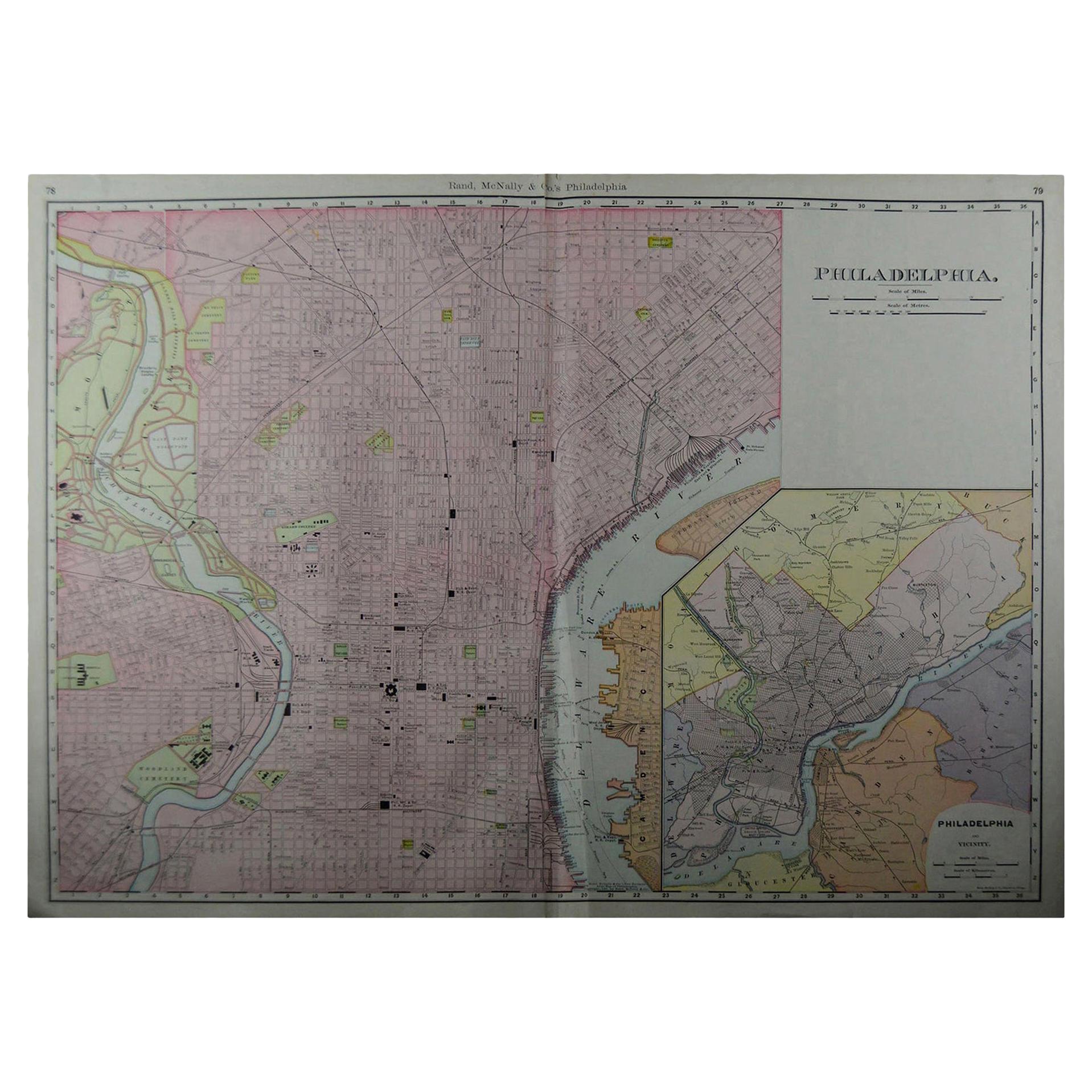
- Large Original Antique City Plan of Philadelphia, USA, circa 1900By Rand McNally & Co.Located in St Annes, LancashireFabulous colorful map of Philadelphia Original color By Rand, McNally & Co. Published, circa 1900. Unframed Free shipping.Category
Antique Early 1900s American Maps
MaterialsPaper
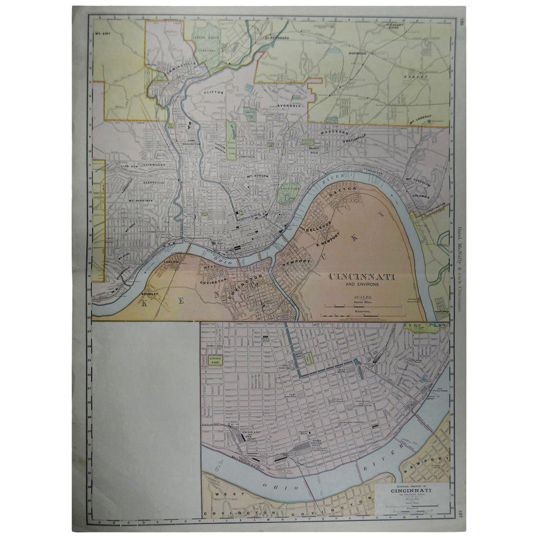
- Large Original Antique City Plan of Cincinnati, USA, circa 1900By Rand McNally & Co.Located in St Annes, LancashireFabulous colorful map of Cincinnati, Ohio. Original color By Rand, McNally & Co. Published, circa 1900 Unframed Free shipping.Category
Antique Early 1900s American Maps
MaterialsPaper
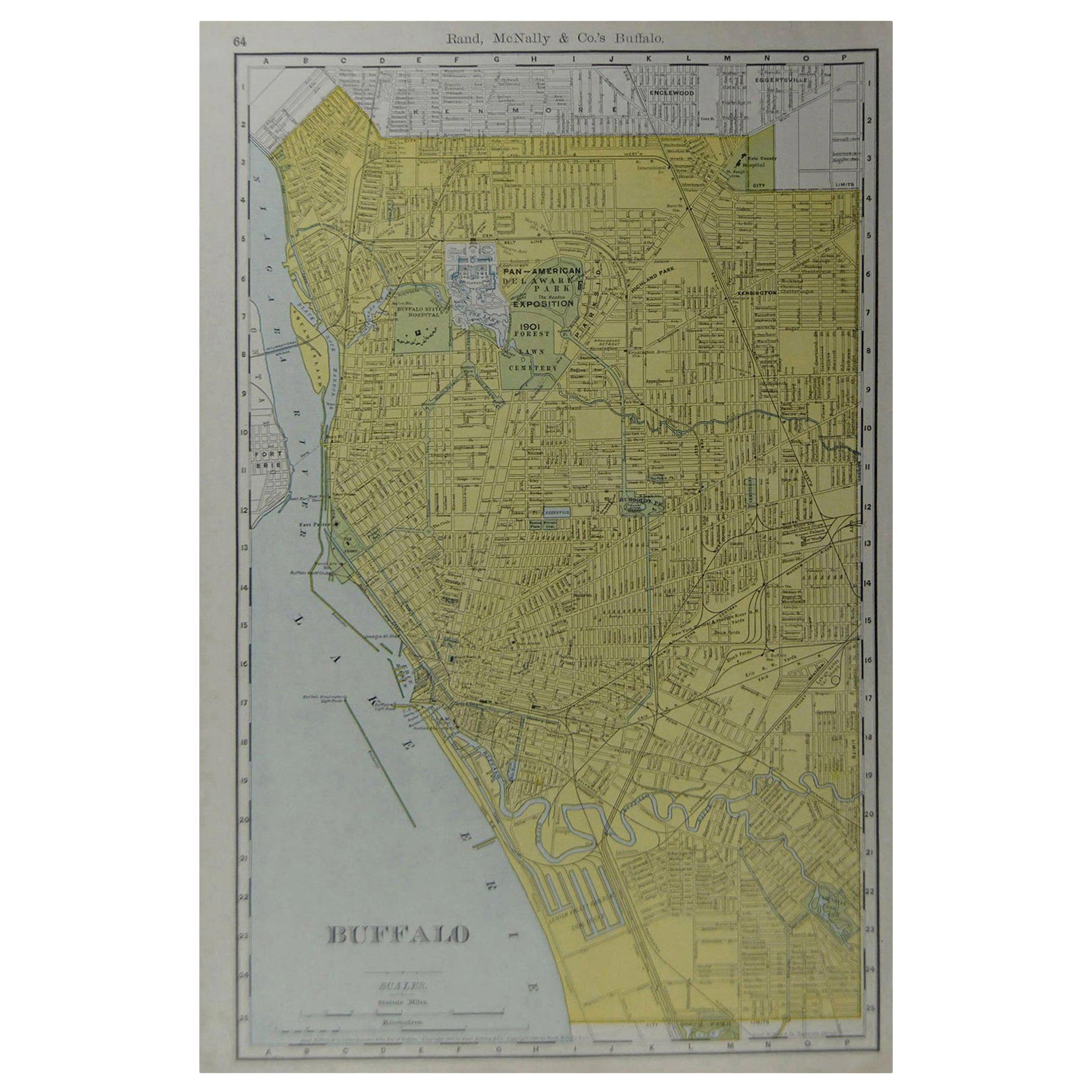
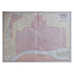
- Original Antique City Plan of Buffalo, New York, USA, circa 1900By Rand McNally & Co.Located in St Annes, LancashireFabulous colorful map of Buffalo Original color By Rand, McNally & Co. Published, circa 1900. Unframed Free shipping.Category
Antique Early 1900s American Maps
MaterialsPaper
- Large Original Antique City Plan of Montreal, Canada, circa 1900By Rand McNally & Co.Located in St Annes, LancashireFabulous colorful map of Montreal Original color By Rand, McNally & Co. Published, circa 1900 Unframed Free shipping.Category
Antique Early 1900s American Maps
MaterialsPaper
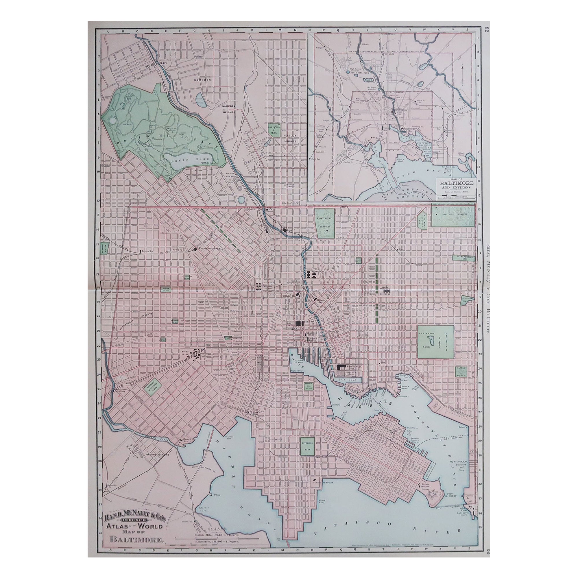
- Large Original Antique City Plan of Baltimore, USA, 1894By Rand McNally & Co.Located in St Annes, LancashireFabulous colorful map of Baltimore Original color By Rand, McNally & Co. Published, 1894 Unframed Free shipping.Category
Antique 1890s American Maps
MaterialsPaper
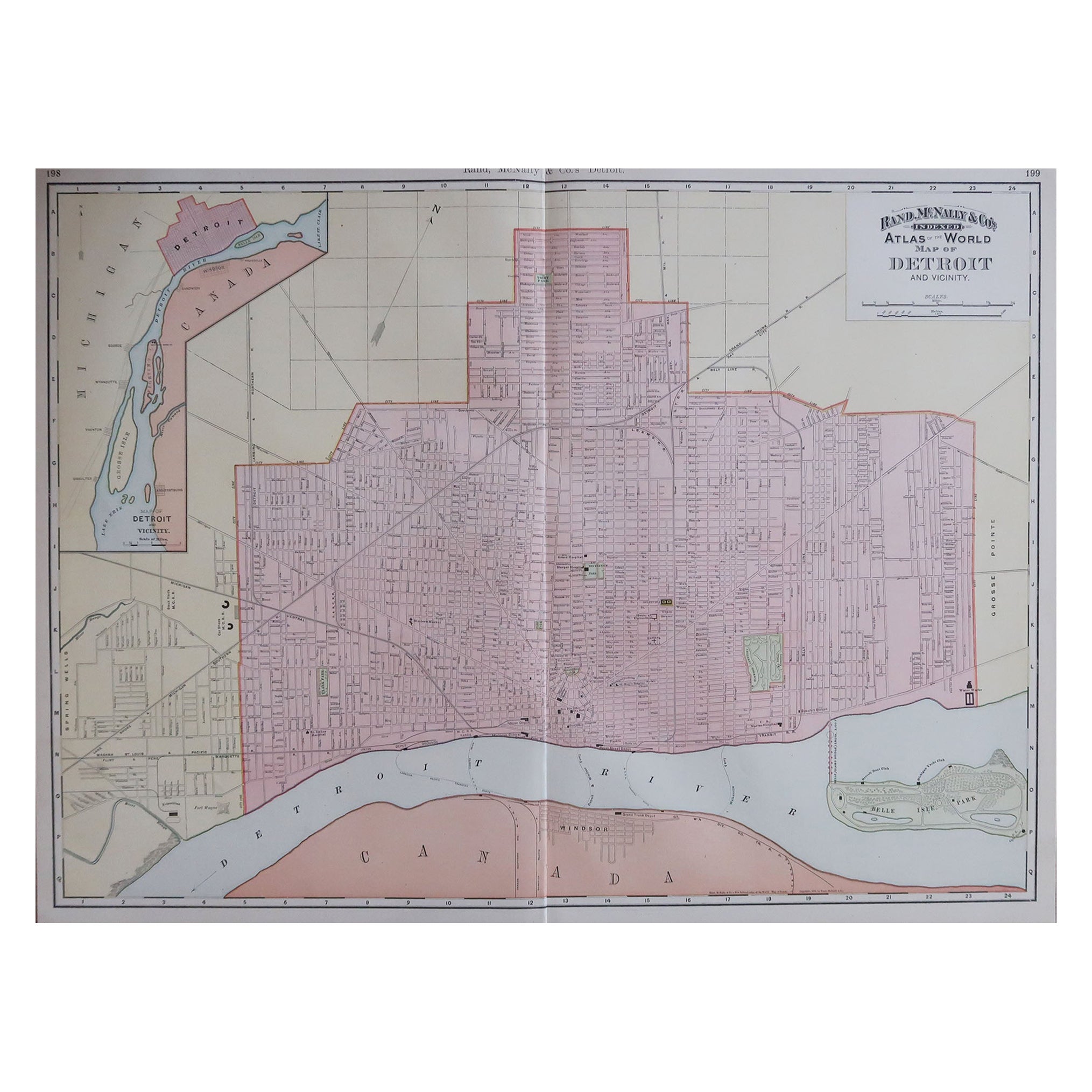
- Large Original Antique City Plan of Detroit, USA, 1894By Rand McNally & Co.Located in St Annes, LancashireFabulous colorful map of Detroit Original color By Rand, McNally & Co. Published, 1894 Unframed Free shipping.Category
Antique 1890s American Maps
MaterialsPaper


You May Also Like
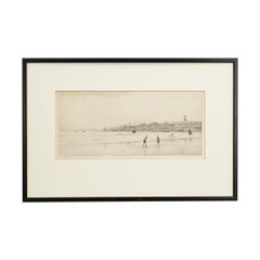
- Antique St Andrews Golf Etching by W.L. Wyllie, circa 1900Located in Oxfordshire, GBA very charming etching of two children playing golf on the beach at St Andrews, in the background is the town of St Andrews with the Castle & Cathedral prominent in the sky line. Fr...Category
Antique Early 1900s British Sporting Art Sports Equipment and Memorabilia
MaterialsWood, Paper
- Antique Original Painted Russian Icons Painted on Wood Panels, circa 1900'sLocated in Round Top, TXPair, original painted Russian icons on wood. Portrayal of Saint George, Saint Simon and Saint Aviva Age related crackles, dings/scratches, scuffs/nick...Category
Antique Early 19th Century Russian Religious Items
MaterialsPaint, Wood
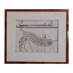
- Antique City View and Map of IJlst, City in Friesland, Holland, Framed, 1664Located in Langweer, NLAntique map titled 'Ylst'. Old map and city view of the city of IJlst, Friesland. This map originates from 'Beschrijvinge van de Heerlyckheydt van Frieslandt' by B. Schotanus à Sterr...Category
Antique 17th Century Maps
MaterialsPaper
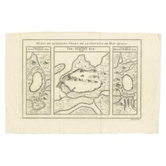
- Antique Map of Three Cities of China's Hubei and Hunan Provinces by BellinBy Jacques-Nicolas BellinLocated in Langweer, NLAntique print titled 'Plans de Quelques villes de la province de Hou-Quang.' Three bird's-eye view plans of walled cities in what are now China's Hubei (Hou-Quang) and Hunan Province...Category
Antique Mid-18th Century Maps
MaterialsPaper
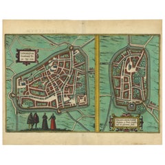
- Antique Map of The Frisian Cities Leeuwarden and Franeker in Friesland, 1580Located in Langweer, NLAntique map titled 'Lewardum Occidentlis Frisiae Opp: 1580, Franicher Nobiliu hominum, in Frisia Occidentali, ut plurimum saedes'. This sheet contains two very detailed bird?s-ey...Category
Antique 16th Century Maps
MaterialsPaper
- Gold Leaf Foil Pictorial Plan Map of the West Country of England Antique StyleLocated in GBWe are delighted to offer for sale this lovely Antique style pictorial plan map of the West Country of England etched in gold leaf foil This is a very interesting and decorative p...Category
20th Century English Adam Style Maps
MaterialsGold Leaf