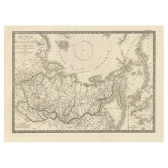
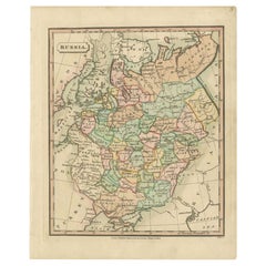
Large Original Antique Map of Russia and the Arctic Ocean, 1821
View Similar Items


Want more images or videos?
Request additional images or videos from the seller
1 of 7
Auction endedBrowse Current Auctions
Large Original Antique Map of Russia and the Arctic Ocean, 1821
About the Item
- Dimensions:Height: 20.67 in (52.5 cm)Width: 27.17 in (69 cm)Depth: 0 in (0.02 mm)
- Materials and Techniques:
- Period:
- Date of Manufacture:1821
- Condition:Condition: Very good. Small stamp near title. Some marginal tears. Please study image carefully.
- Seller Location:Langweer, NL
- Reference Number:Seller: BG-00749 1stDibs: LU3054326831352
About the Seller
5.0
Platinum Seller
These expertly vetted sellers are 1stDibs' most experienced sellers and are rated highest by our customers.
Established in 2009
1stDibs seller since 2017
1,914 sales on 1stDibs
More From This SellerView All
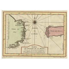
- Antique Map of the Passage Between the Atlantic and Pacific Oceans, circa 1753Located in Langweer, NLAntique print, titled: 'Carte du Detroit de le Maire (…)' - This chart illustrates the important passage between the Atlantic and Pacific oceans. Jacob Le Maire and Willem Schouten d...Category
Antique 18th Century Maps
MaterialsPaper
- Antique Map of South East Asia, Australia and the Indian Ocean, 1726By F. ValentijnLocated in Langweer, NLAntique map titled 'Tabula Indiae Orientalis'. Beautiful detailed map of Australia, Southeast Asia and the Indian Ocean. The map features a fine depiction of the outlines of the western two-thirds of Australia, based on the discoveries of explorers working for the Dutch East India Company (the VOC). These include Willem Jansz's discoveries in the Gulf of Carpentaria in 1606; the encounters of Dirk...Category
Antique Mid-18th Century Dutch Maps
MaterialsPaper
 $5,503 Sale Price30% OffFree Shipping
 - Antique Map of Russia by Tyrer, 1821Located in Langweer, NLAntique map titled 'Russia'. Beautiful antique map of Russia engraved by Tyrer. Artists and Engravers: Published by J. Souter, London. Artist...Category
Antique 19th Century Maps
MaterialsPaper
- Original Engraved Antique Map of the World, Colorful and Decorative, C.1780By Pierre François TardieuLocated in Langweer, NLAntique map titled 'Mappemonde en Deux Hemispheres ou l'on a Indique les Nouvelles Decouvertes' - This handsome double hemisphere map presents a ...Category
Antique 18th Century Maps
MaterialsPaper
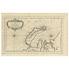
- Antique Map of the Arctic Ocean and Novaya Zemlya by Bellin '1759'Located in Langweer, NLAntique map titled 'Partie de la Mer Glaciale contenant la Nouvelle Zemle et le Pais des Samoiedes (..)'. Original antique map of the Arctic Ocean containing Novaya Zemlya and the co...Category
Antique Mid-18th Century Maps
MaterialsPaper
- Antique Map of the Old Land of Batavia and FriesLand, The Netherlands, 1697Located in Langweer, NLAntique map Friesland titled 'Descriptio veteris Agri Batavi et Frisii (..)'. Old map of Friesland, the Netherlands. Depicts the old land of Batavia and Friesland. This map originate...Category
Antique 17th Century Maps
MaterialsPaper
 $164 Sale Price20% Off

You May Also Like
- Large Original Antique Folding Map of Manchester, England, Dated 1793Located in St Annes, LancashireSuperb map of Manchester and Salford Folding map. Printed on paper laid on to the original canvas Unframed. Published by C. Laurent, 1793. ...Category
Antique 1790s English Georgian Maps
MaterialsCanvas, Paper
- Large Scale Antique Scroll Map of Lincolnshire, England, Dated 1778Located in St Annes, LancashireWonderful scroll map of Lincolnshire By Captain Armstrong, 1778 Copper plate engraving on paper laid on canvas Original ebonized wood frame with lo...Category
Antique 1770s English Georgian Maps
MaterialsWood, Paper

- Gold Leaf Foil Pictorial Plan Map of the West Country of England Antique StyleLocated in GBWe are delighted to offer for sale this lovely Antique style pictorial plan map of the West Country of England etched in gold leaf foil This is a very interesting and decorative p...Category
20th Century English Adam Style Maps
MaterialsGold Leaf
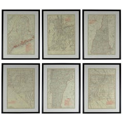
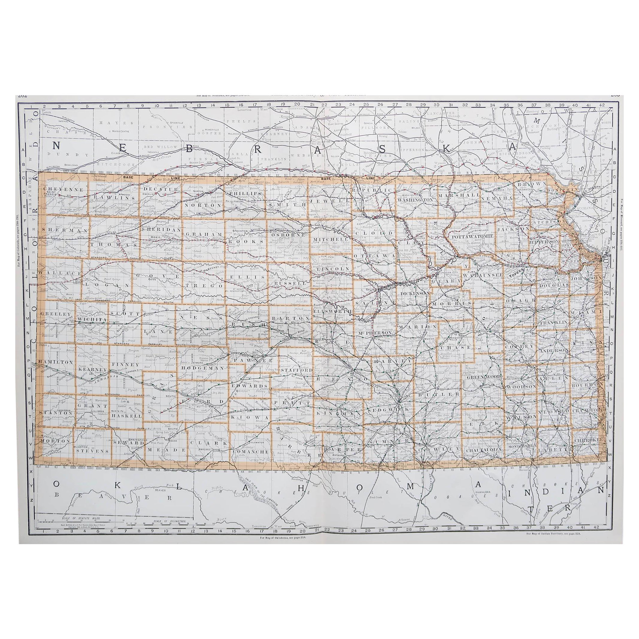
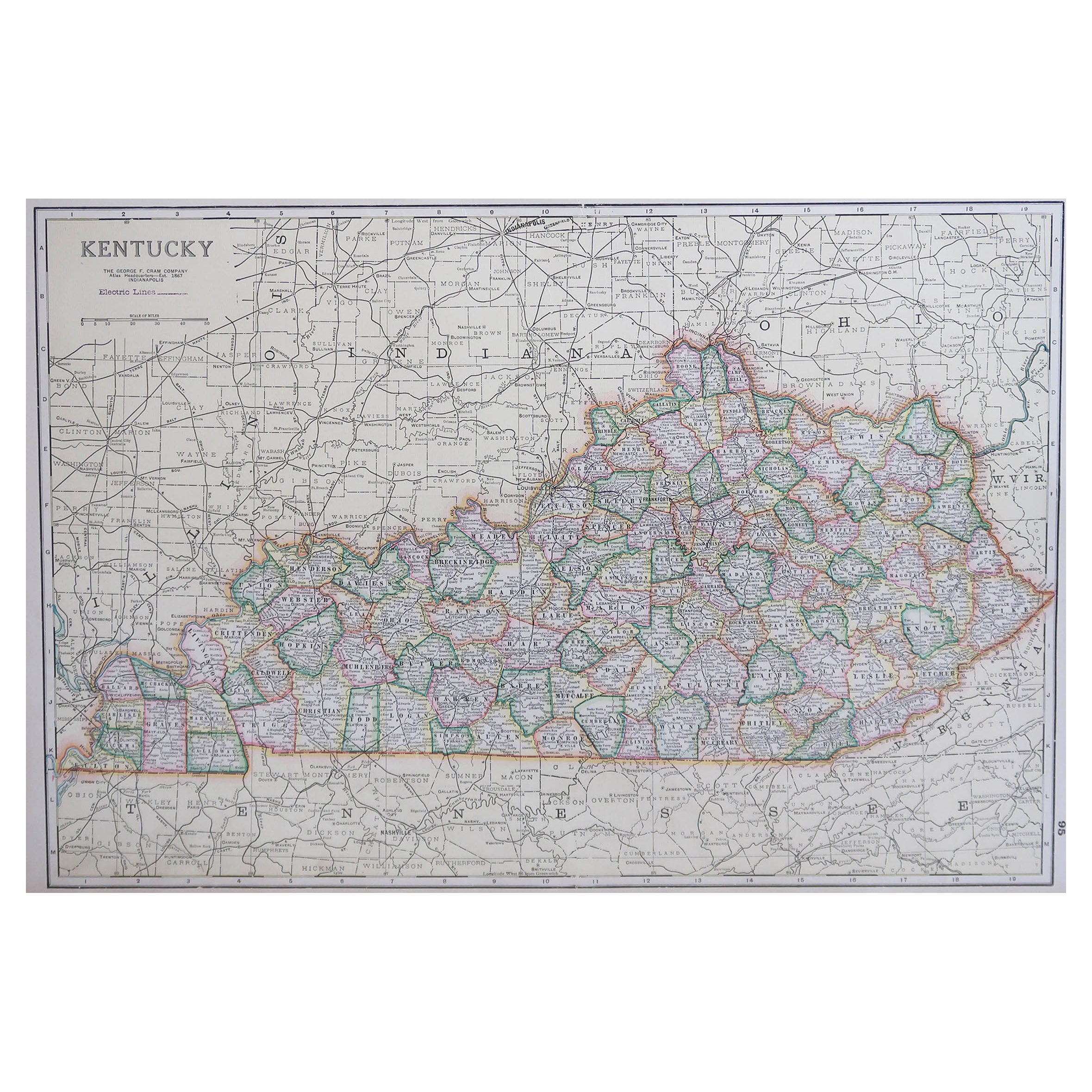
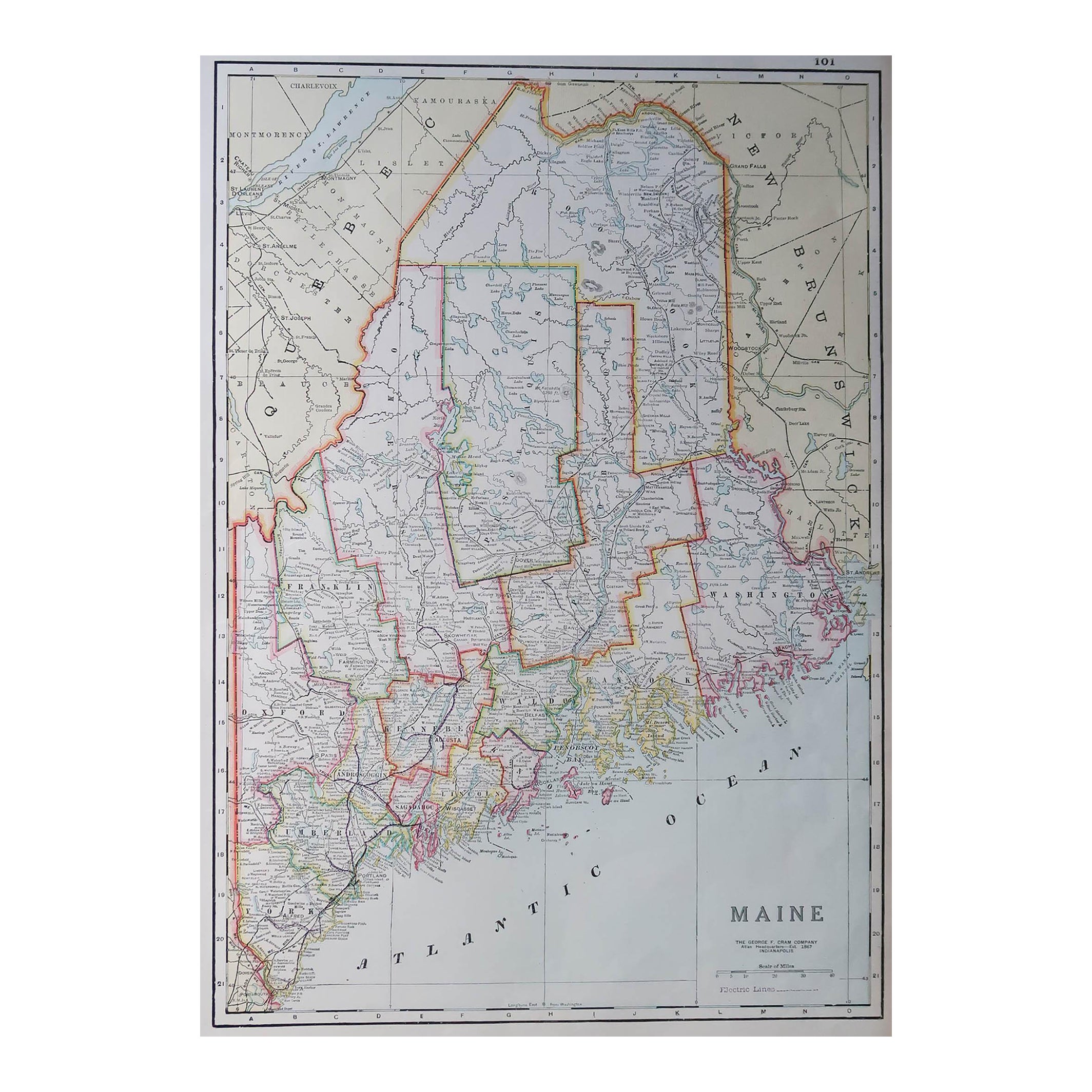
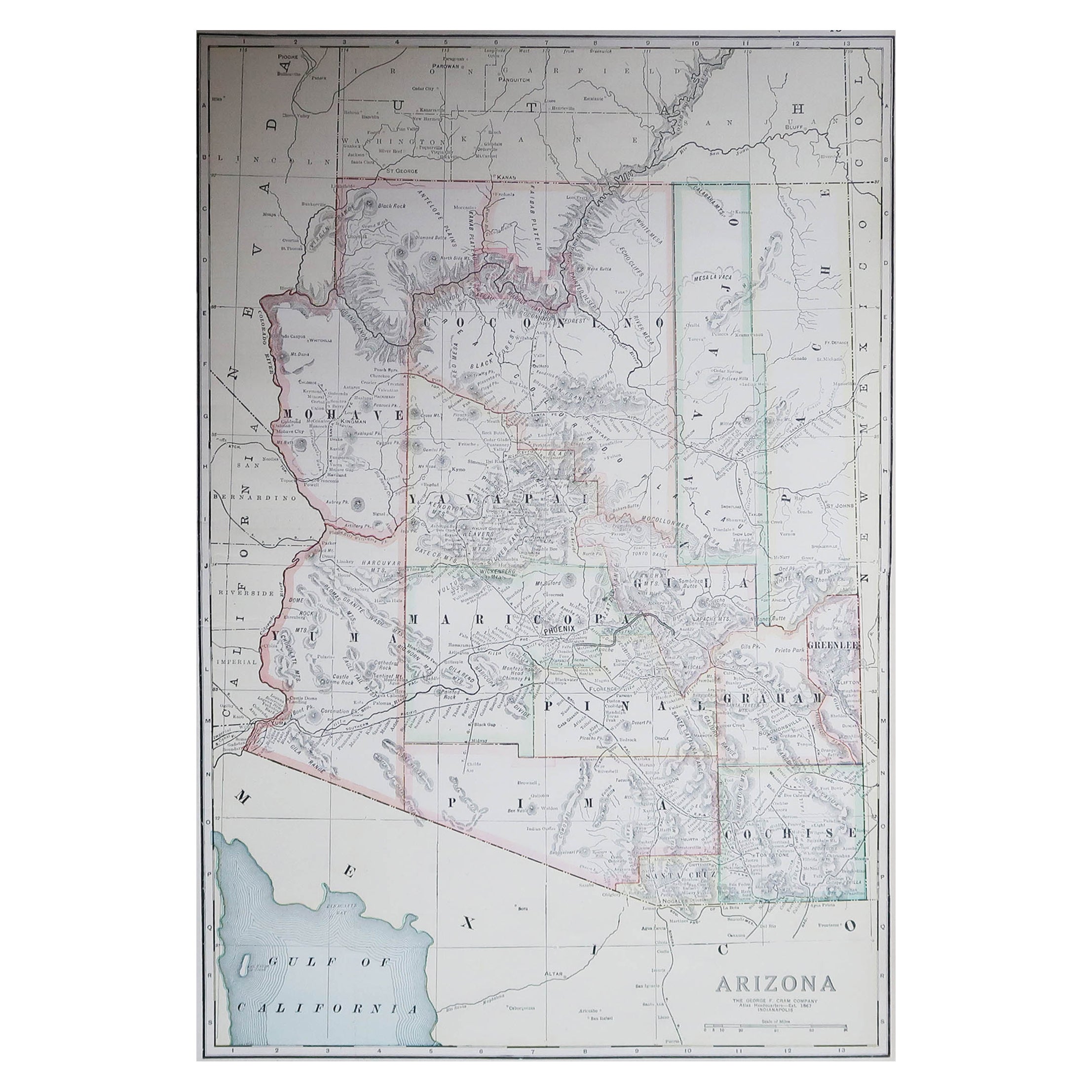
- Set of 6 Original Vintage Maps of American States, circa 1900Located in St Annes, LancashireWonderful set of 6 vintage maps. Random American states including Maine, Utah, New Hampshire, Nevada, Vermont and New Mexico. Monochrome with red color outline. Published by Rand,...Category
Antique Early 1900s American Edwardian Decorative Art
MaterialsPaper
- Antique Russian Icon of Christ in Silver Gilt and Cloisonne EnamelLocated in London, GBThis extremely fine Russian icon shows the image of Christ Pantocrator, which translates roughly as 'Christ the Almighty'. It's one of the most important images of Christ within Orthodox Christianity...Category
Antique 19th Century Russian Religious Items
MaterialsSilver, Enamel
- Antique Original Painted Russian Icons Painted on Wood Panels, circa 1900'sLocated in Round Top, TXPair, original painted Russian icons on wood. Portrayal of Saint George, Saint Simon and Saint Aviva Age related crackles, dings/scratches, scuffs/nick...Category
Antique Early 19th Century Russian Religious Items
MaterialsPaint, Wood