Items Similar to Map of the Holy Land "Carte de la Syrie et de l'Egypte" by Pierre M. Lapie


Want more images or videos?
Request additional images or videos from the seller
1 of 6
Map of the Holy Land "Carte de la Syrie et de l'Egypte" by Pierre M. Lapie
About the Item
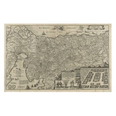
An early 19th century map of ancient Syria and Egypt entitled "Carte de la Syrie et de l'Egypte anciennes/dressée par M. Lapie, Colonel d'Etat Major, et M. Lapie fils, Captaine au méme Corps" by Pierre M. Lapie and his son Alexander Emile Lapie, published in 1833 in Paris in their atlas 'Atlas universel de geographie ancienne et moderne, precede d'un abrege de geographie physique et historique'. The map was engraved by Armand Joseph Lellemand (1810-1871). The map depicts the Holy Land and Egypt as it existed at the time Egypt was ruled by Cleopatra. The map is centered on Egypt, Syria and Cyprus and covers the coastline of the Eastern Mediterranean in the north and the northern coast of the Red Sea in the south, including Ethiopia, Asia Minor and Mesopotoamia.
The map is hand-colored in outline. It is presented in a brown wood frame. The frame measures 27" x 21.38" x 0.75". There are areas of discoloration in the sheet margins, most prominently on the right. The map itself is in very good condition.
Pierre M. Lapie (fl. 1779 - 1850) and his son Alexandre Emile Lapie (fl. 1809 - 1850) were French cartographers and engravers as well as officers in the French army. Alexander carried the title of "First Geographer to the King".
- Creator:Pierre M. Lapie (Artist)
- Dimensions:Height: 27 in (68.58 cm)Width: 21.38 in (54.31 cm)Depth: 0.75 in (1.91 cm)
- Materials and Techniques:Paper,Engraved
- Place of Origin:
- Period:
- Date of Manufacture:1838
- Condition:Wear consistent with age and use.
- Seller Location:Alamo, CA
- Reference Number:
About the Seller
5.0
Vetted Seller
These experienced sellers undergo a comprehensive evaluation by our team of in-house experts.
1stDibs seller since 2020
12 sales on 1stDibs
- ShippingRetrieving quote...Ships From: Alamo, CA
- Return PolicyA return for this item may be initiated within 7 days of delivery.
More From This SellerView All
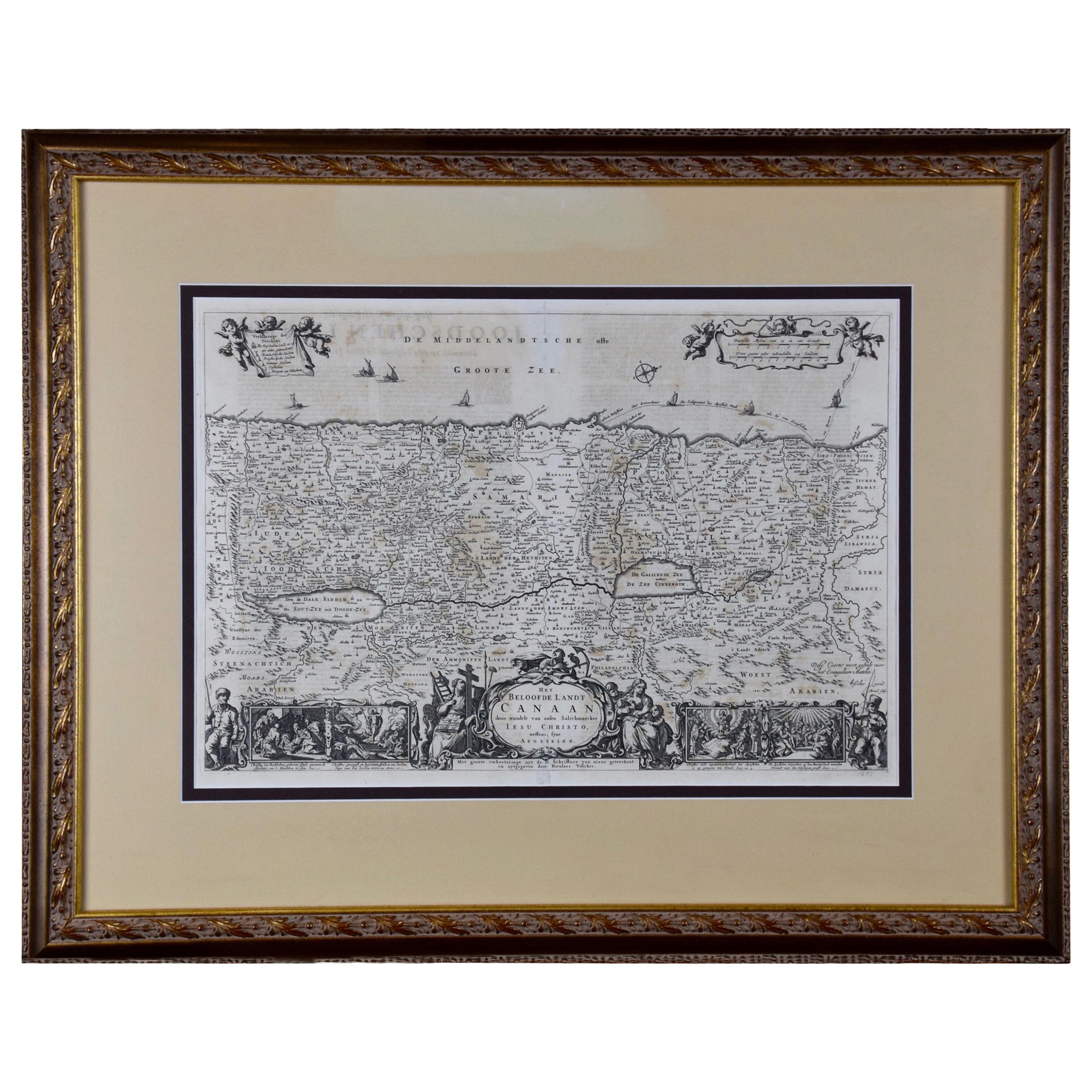
- The Holy Land at the Time of Jesus: A 17th Century Dutch Map by VisscherBy Nicolaes Visscher IILocated in Alamo, CAThis detailed Dutch map entitled "Het Beloofe de Landt Canaan door wandelt van onsen Salichmaecker Iesu Christo, nessens syne Apostelen" by Nicolaes Visscher was published in Amsterd...Category
Antique Mid-17th Century Dutch Maps
MaterialsPaper
- Germany West of the Rhine: A Hand-colored 18th Century Map by de WitBy Frederick de WitLocated in Alamo, CAThis original 18th century hand-colored map of the county of Moers, Germany entitled "Illustrissimo Celsissmo Principi GUILIELMO HENRICO D.G. Arausionum Principi Domino suo Clementis...Category
Antique Early 18th Century Dutch Maps
MaterialsPaper
- Large 17th Century Hand Colored Map of England and the British Isles by de WitBy Frederick de WitLocated in Alamo, CAA large hand colored 17th century map of England and the British Isles by Frederick de Wit entitled "Accuratissima Angliæ Regni et Walliæ Principatus", published in Amsterdam in 1680. It is a highly detailed map of England, Scotland, the Scottish Isles...Category
Antique Late 17th Century Dutch Maps
MaterialsPaper
- 17th Century Hand Colored Map of the Liege Region in Belgium by VisscherBy Nicolaes Visscher IILocated in Alamo, CAAn original 17th century map entitled "Leodiensis Episcopatus in omnes Subjacentes Provincias distincté divisusVisscher, Leodiensis Episcopatus" by Nicolaes Visscher II, published in Amsterdam in 1688. The map is centered on Liege, Belgium, includes the area between Antwerp, Turnhout, Roermond, Cologne, Trier and Dinant. This attractive map is presented in a cream-colored mat measuring 30" wide x 27.5" high. There is a central fold, as issued. There is minimal spotting in the upper margin and a tiny spot in the right lower margin, which are under the mat. The map is otherwise in excellent condition. The Visscher family were one of the great cartographic families of the 17th century. Begun by Claes Jansz Visscher...Category
Antique Late 17th Century Dutch Maps
MaterialsPaper
- California, Alaska and Mexico: 18th Century Hand-Colored Map by de VaugondyBy Didier Robert de VaugondyLocated in Alamo, CAThis an 18th century hand-colored map of the western portions of North America entitled "Carte de la Californie et des Pays Nord-Ouest separés de l'Asie par le détroit d'Anian, extra...Category
Antique 1770s French Maps
MaterialsPaper
- The Normandy Region of France: A 17th C. Hand-colored Map by Sanson and JaillotBy Nicolas SansonLocated in Alamo, CAThis large hand-colored map entitled "Le Duché et Gouvernement de Normandie divisée en Haute et Basse Normandie en divers Pays; et par evêchez, avec le Gouvernement General du Havre ...Category
Antique 1690s French Maps
MaterialsPaper


You May Also Like
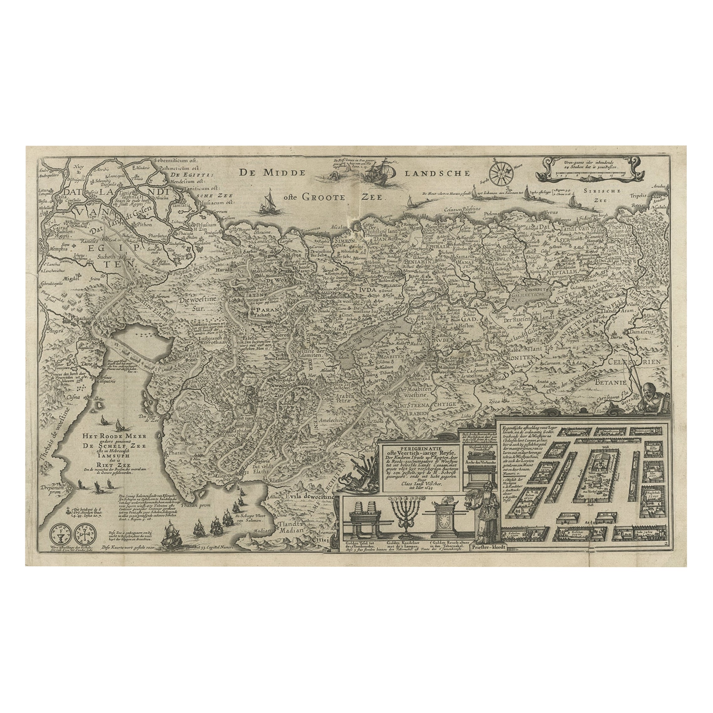
- Beautiful Rare Antique Map of the Holy Land, 1648Located in Langweer, NLAntique map Holy Land titled 'Perigrinatie ofte Veertich-Iarige Reyse, der kinderen Israels uyt Egipten, door de Roode-Zee; mitsgaders de Woestyne tot int Beloofde Landt Canaan, : met groote vlyt uyt verscheryden auctoren by een gestelt, uyt de H. Schrift gecorigeert, ende int licht gegeven'. Beautiful and rare antique map of the Holy Land...Category
Antique 1640s Maps
MaterialsPaper
- Antique Map of the Antilles by Lapie, '1842'Located in Langweer, NLAntique map titled 'Carte des Antilles du Golfe du Méxique'. Map of the Antilles. This map originates from 'Atlas universel de géographie ancienne et moderne (..)' by Pierre M. Lapie...Category
Antique Mid-19th Century Maps
MaterialsPaper
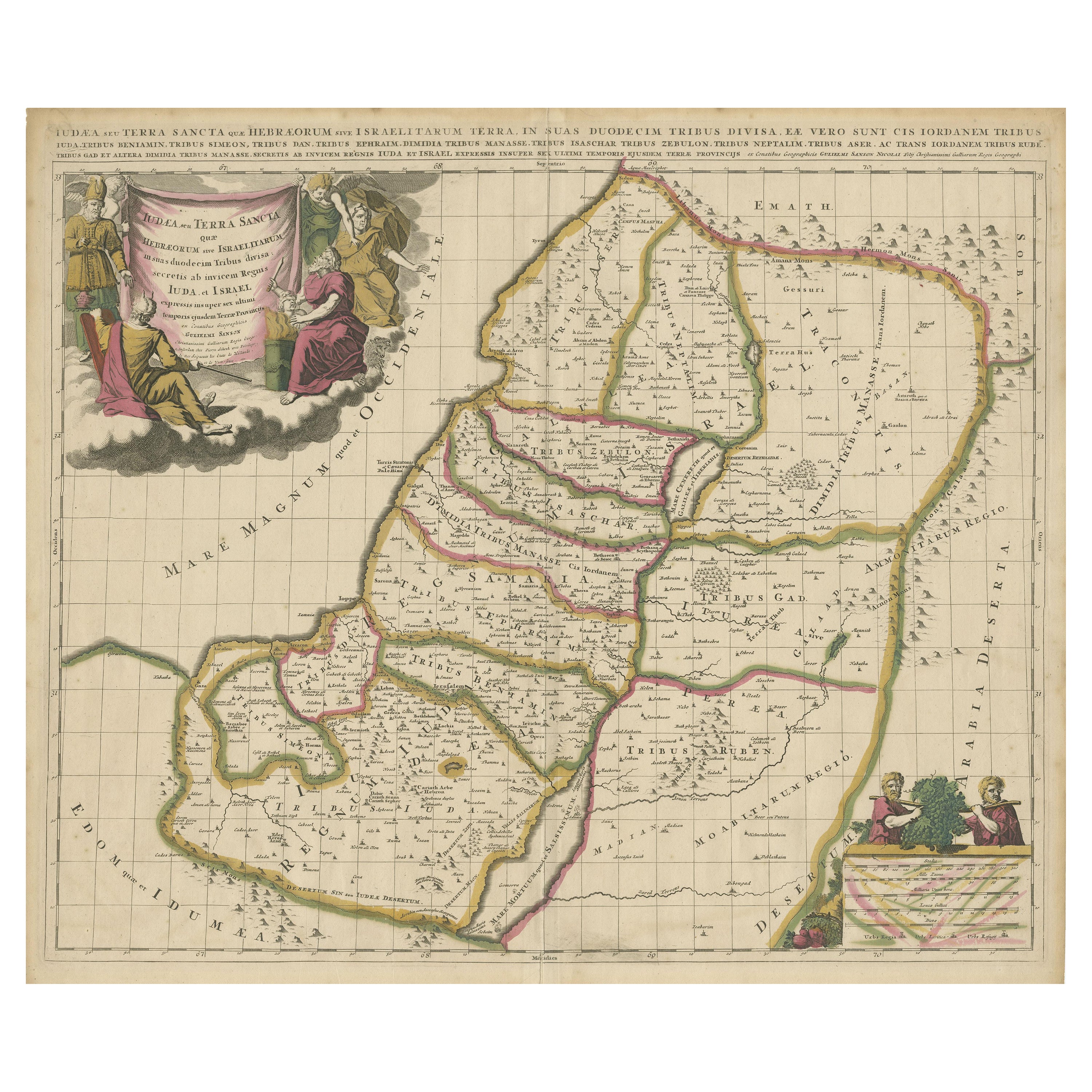
- Antique Map of the Holy Land, Showing the Location of the Various TribesLocated in Langweer, NLAntique map titled 'Judaea seu Terra Sancta quae Hebraeorum sive Israelitarum (..)'. Map of The Holy Land, showing the location of the various tribes, in two kingdoms, Judah and Isra...Category
Antique Early 18th Century Maps
MaterialsPaper
- Antique Map of the Roman Empire by Lapie, 1842Located in Langweer, NLAntique map titled 'Carte de l'Empire Romain'. Map of the Roman Empire. This map originates from 'Atlas universel de géographie ancienne et moderne (..)' by Pierre M. Lapie and Alexa...Category
Antique Mid-19th Century Maps
MaterialsPaper
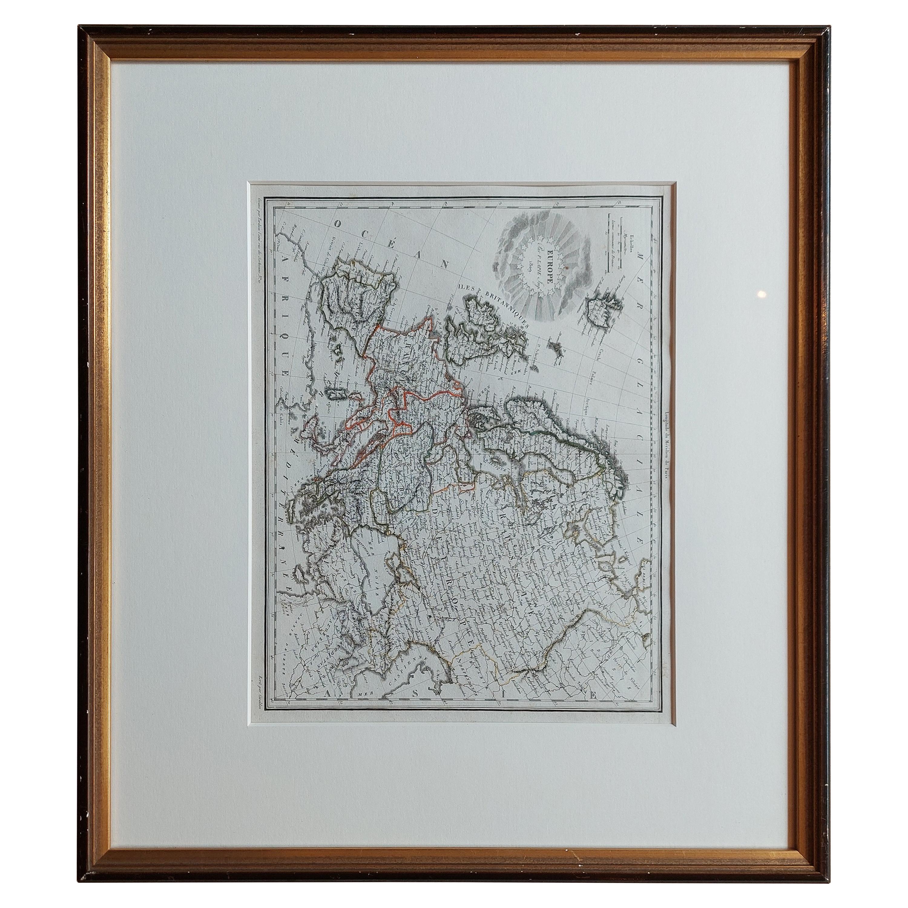
- Antique Map of Europe by Lapie, '1809'Located in Langweer, NLAntique map titled 'Europe'. Original antique map of Europe by P. Lapie, published 1809. Frame included.Category
Antique Early 19th Century Maps
MaterialsPaper
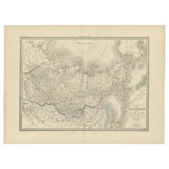
- Antique Map of Siberia by Lapie, 1842Located in Langweer, NLAntique map titled 'Carte de la Sibérie ou Russie d'Asie'. Map of Siberia. This map originates from 'Atlas universel de géographie ancienne et moderne (..)' by Pierre M. Lapie and Al...Category
Antique 19th Century Maps
MaterialsPaper