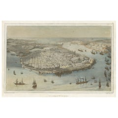
Rare 19th Century Lithograph of Havana, Capital of Cuba, Caribbean, c.1860
View Similar Items


Want more images or videos?
Request additional images or videos from the seller
1 of 6
Rare 19th Century Lithograph of Havana, Capital of Cuba, Caribbean, c.1860
About the Item
About the Seller
5.0
Platinum Seller
These expertly vetted sellers are 1stDibs' most experienced sellers and are rated highest by our customers.
Established in 2009
1stDibs seller since 2017
1,914 sales on 1stDibs
More From This SellerView All
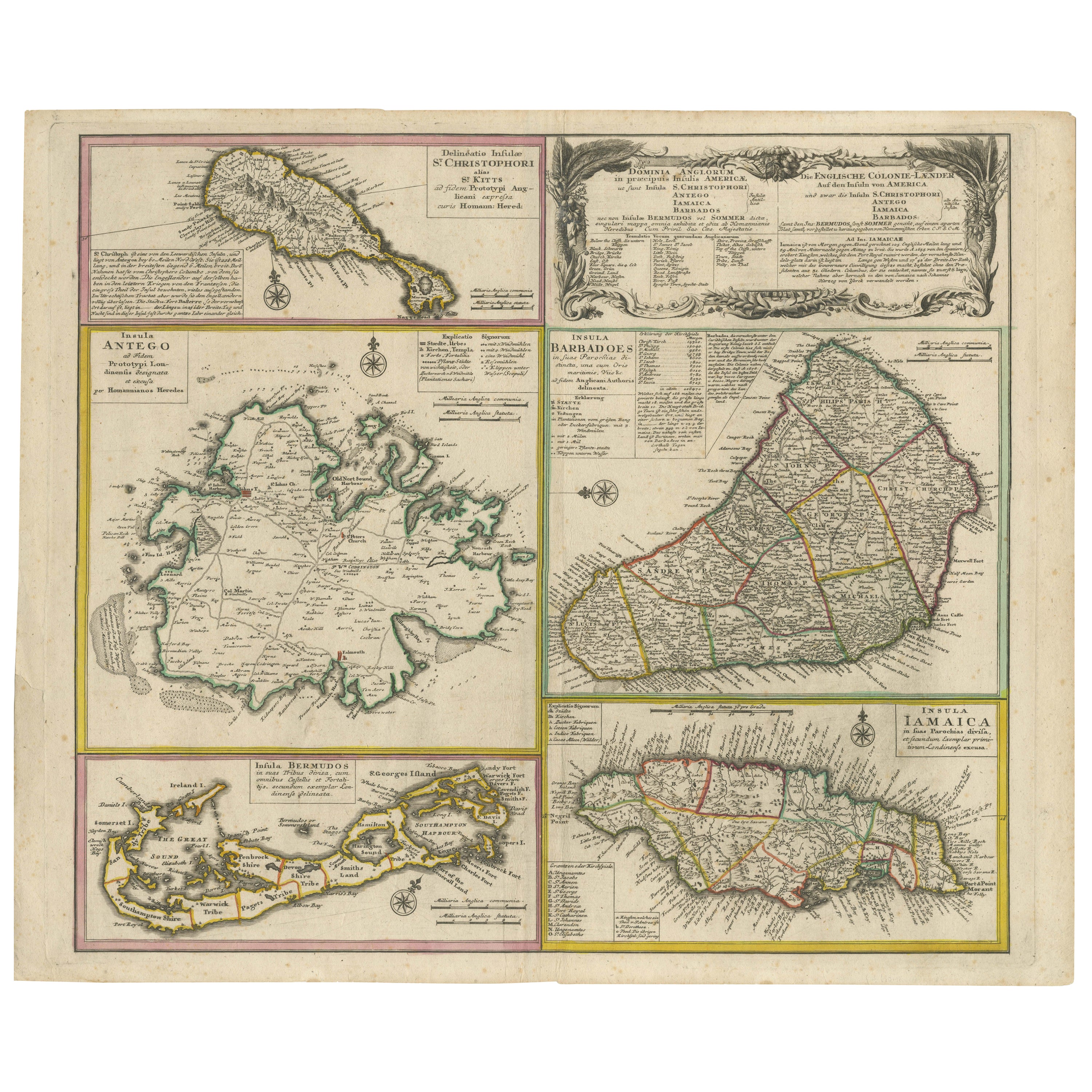
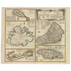
- Old 18th Century Composite Map of Key Caribbean Islands with Descriptive TextsLocated in Langweer, NLAntique map titled 'Dominia Anglorum in praecipuis Insulis Americae ut sunt Insula S. Christophori, Antegoa, Iamaica, Barbados nec non Insulae Bermudes vel Sommers dictae. Die Englis...Category
Antique 1740s Maps
MaterialsPaper
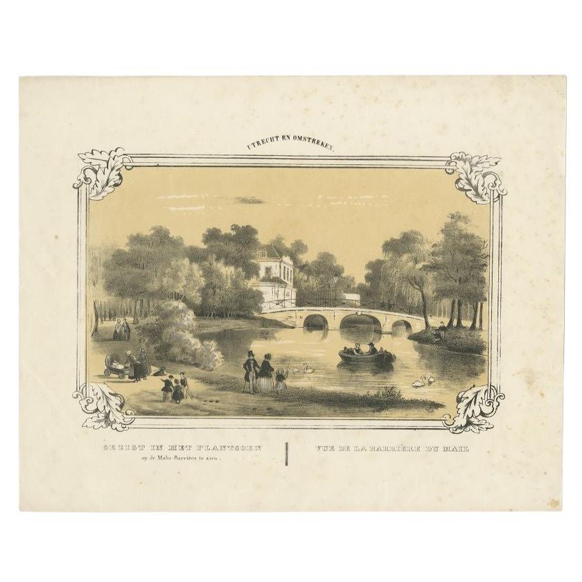
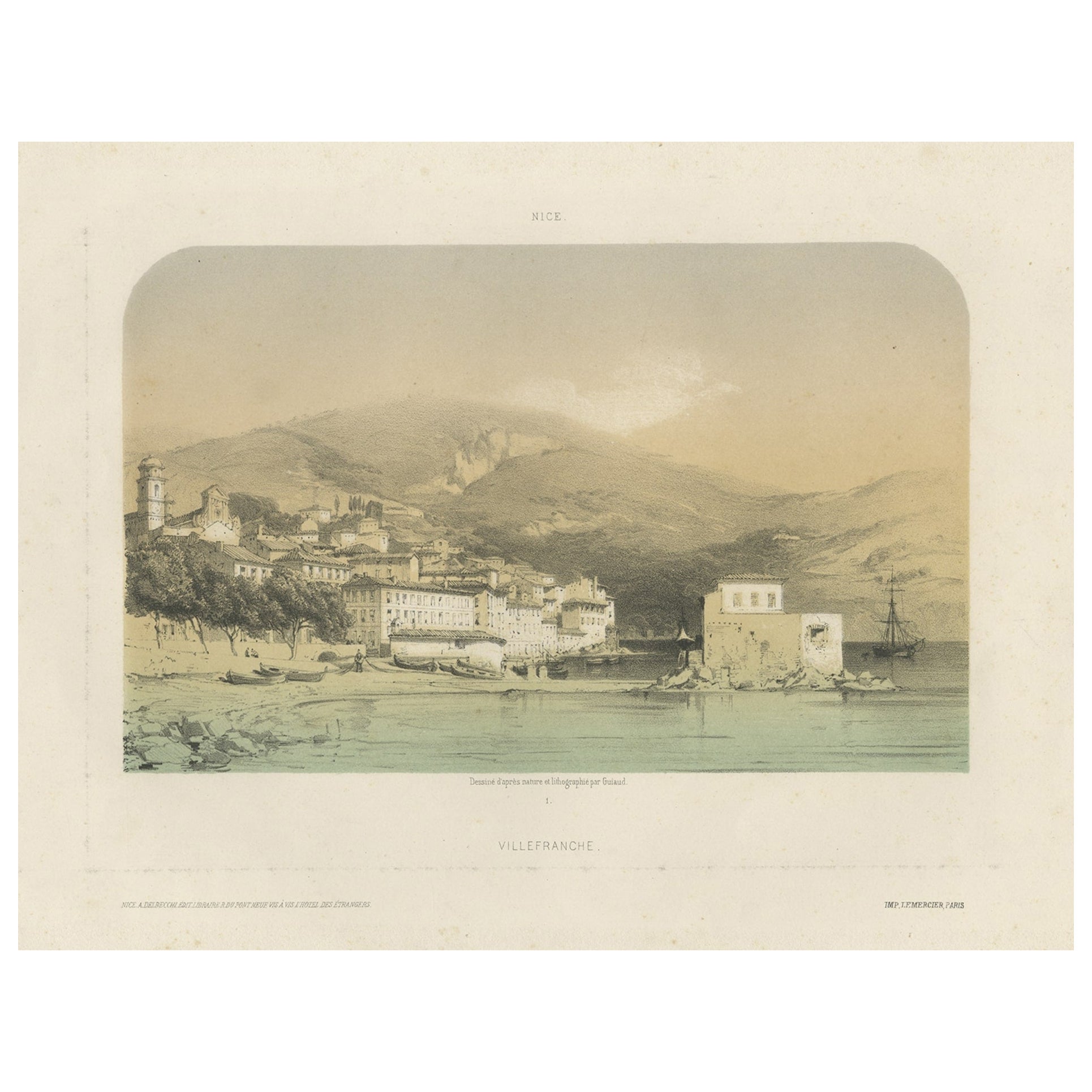
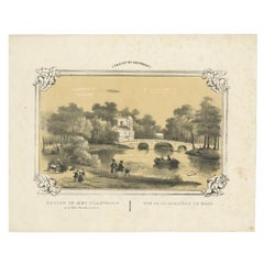
- Rare Antique Print of a Park in Utrecht, The Netherlands, c.1860Located in Langweer, NLAntique print Utrecht titled 'Gezigt in het Plantsoen op de Malie-Barrière te zien'. Old tinted lithograph depicting a park of Utrecht. This print orginates from ' Een Cahier Gezigte...Category
Antique 19th Century Prints
MaterialsPaper
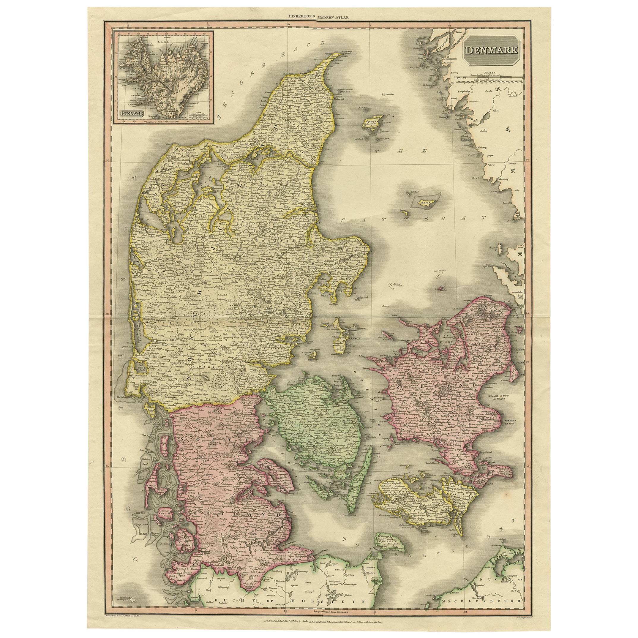
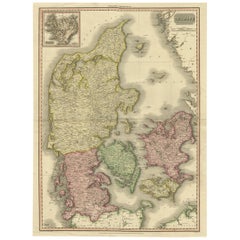
- 19th Century Large Original Antique Map of Denmark by J. Pinkerton, 1812By PinkertonLocated in Langweer, NLHighly detailed map of Denmark. One of the best large format English atlas maps of the period. Pinkerton's maps reflect the fine copperplate engraving work being done in the Britain...Category
Antique Early 19th Century Maps
MaterialsPaper
 $324 Sale Price40% OffFree Shipping
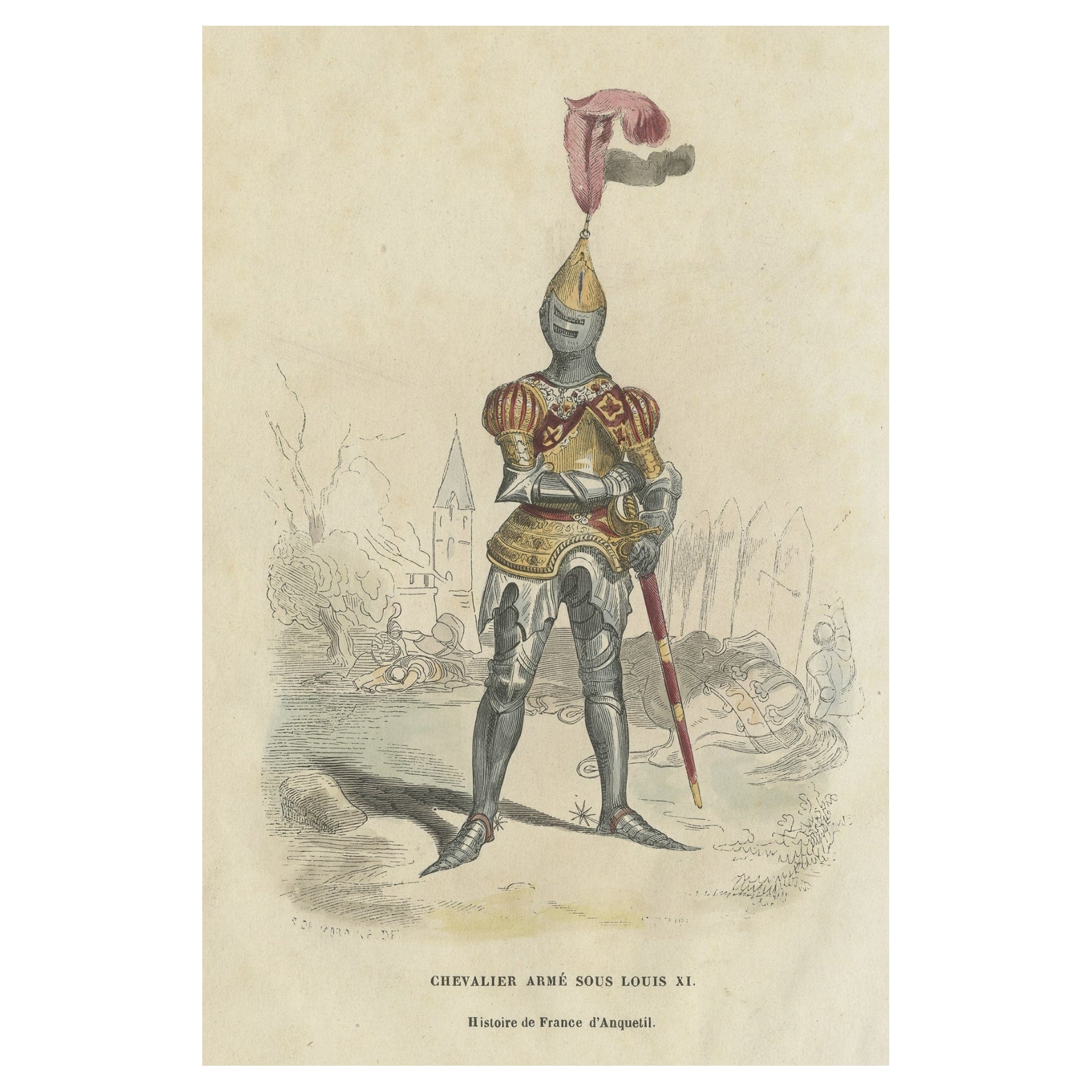
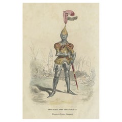
 - Hand-Colored Lithograph of an Armed Knight under the Reign of Louis XI, ca.1860Located in Langweer, NLAntique print titled 'Chevalier armé sous Louis XI'. Lithograph of an armed knight under the reign of Louis XI. Source unknown, to be determined. Artists and Engravers: Anonymous....Category
Antique 1860s Prints
MaterialsPaper
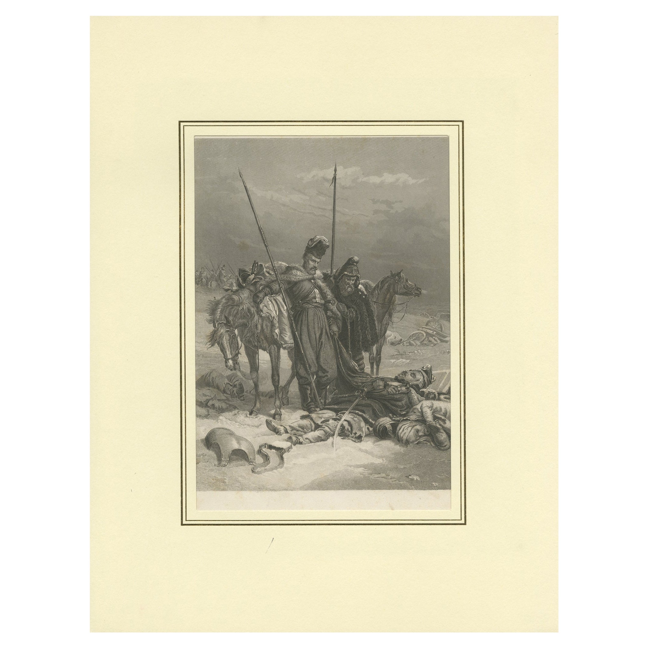
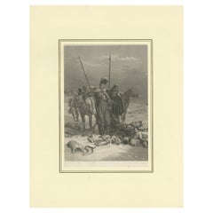
- Antique Print of a Battle Scene in Early 19th Century Europe, ca.1857Located in Langweer, NLDescription: original antique print of a battle scene. Source unknown, to be determined. Artists and Engravers: Engraved by P. Wunster. Condition: Good, general age-related ton...Category
Antique 1850s Prints
MaterialsPaper
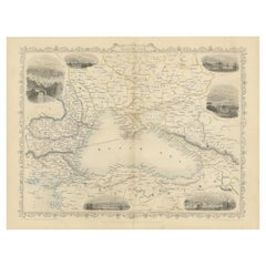
- Mid 19th Century Map of the Black Sea with Decorative Vignettes, 1851Located in Langweer, NLMap of the Black Sea and contingent lands, including Turkey, Russia, Georgia, Azerbaijan, Bulgaria, Crimea and Armenia, with decorative vignettes views of Sebastopol, Varna, Odessa, Sinope, Constantinople and Silistria. Fine antique map...Category
Antique Mid-19th Century Maps
MaterialsPaper
 $393 Sale Price20% Off
You May Also Like
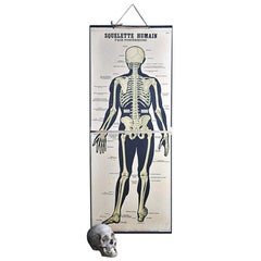
- 19th Century French Émile Deyrolle Anatomical Lithograph PosterLocated in London, GBÉmile Deyrolle Anatomical poster A wonderfully rare and decorative curio medical French (Paris) original lithograph on board anatomical poster in ...Category
Antique 1880s French Early Victorian Scientific Instruments
MaterialsPaper
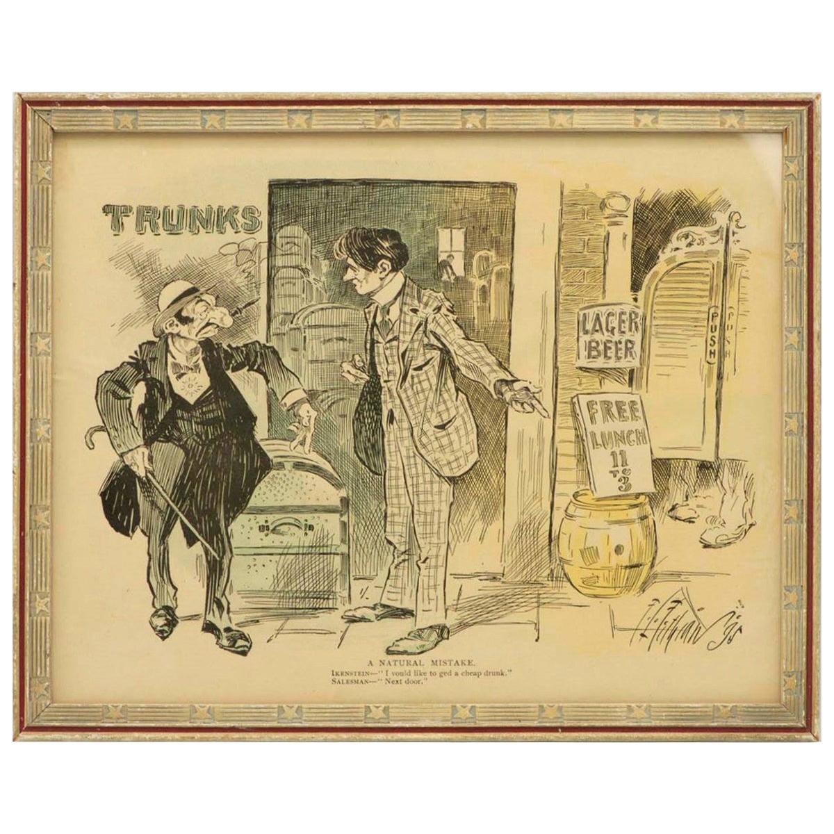
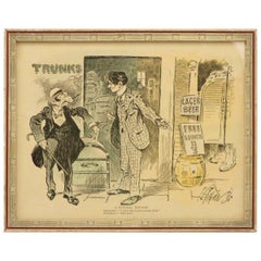
- Late 19th Century American Jewish Themed CaricatureLocated in New York, NYAmerican cartoon, USA, 1895. Caption reads: 'A Natural Mistake. Ikenstein: "I vould like to ged a cheap drunk." Salesman: "Next door.'" The cartoon is framed with American frame of...Category
Antique 1890s American Prints
MaterialsPaper
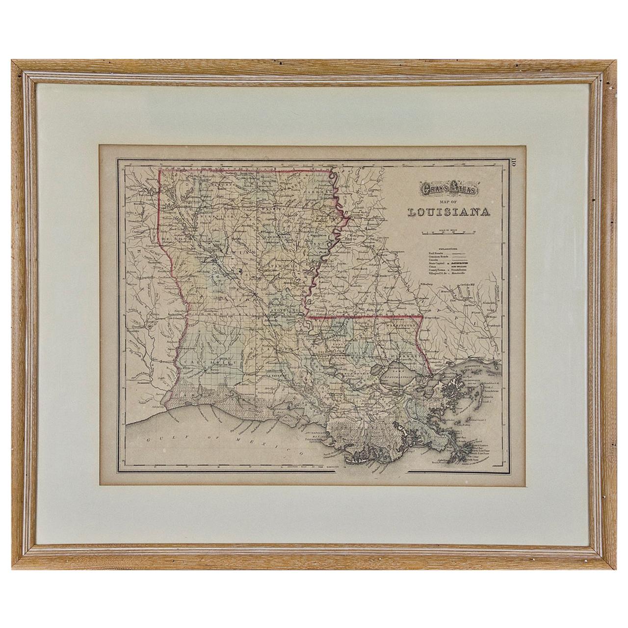
- Louisiana: A Framed 19th Century Map by O. W. GrayBy Gray and CoLocated in Alamo, CAThis framed 19th century map of the Louisiana territory was published in "Gray's Atlas of the United States with General Maps of the World, accompanied by Descriptions Geographical, Historical, Scientific and Statistica" published in 1873 in Philadelphia by O.W. Gray and Son and Stedman, Brown and Lyon. It is a highly detailed map of Louisiana...Category
Antique Mid-19th Century American Other Maps
MaterialsPaper
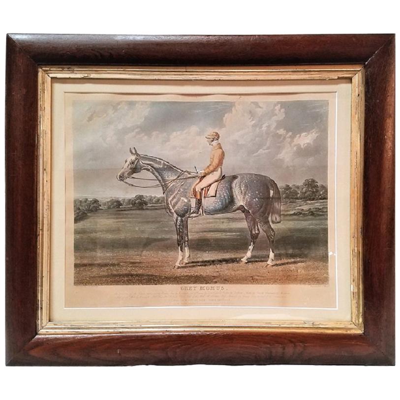
- Early 19th Century Aquatint Engraving of Grey Momus, John Frederick Herring Snr.By John Frederick Herring Sr.Located in Dallas, TXPresenting a fabulous and very rare, original early-19th century chromolithograph engraving after a painting by John Frederick Herring Snr., engraved by Ch...Category
Antique Early 19th Century English Early Victorian Prints
MaterialsPaper
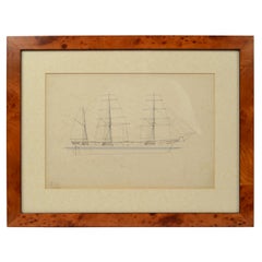
- Print No. 1 of 400 Depicting a Nautical Schooner Made in the Mid-19th CenturyLocated in Milan, ITPrint depicting a schooner, no. 1 of 400 copies signed Z21, made in the mid-19th century. Non-coeval briarwood frame; measures with frame 50 x 40 cm.Category
Antique 1850s British Nautical Objects
MaterialsPaper
- America "Amérique Septentrionale": A 19th Century French Map by DelamarcheBy Maison Delamarche 1Located in Alamo, CAThis framed mid 19th century map of North America entitled "Amérique Septentrionale" by Felix Delamarche was published in Paris in 1854 by Quay de l'Horloge du Palais, avec les Carte...Category
Antique Mid-19th Century American Other Maps
MaterialsPaper


Recently Viewed
View AllMore Ways To Browse
Brown Vintage Shoes
Victorian Knot
Antique Cabinet Gold
Found Object Jewelry
Tapestry Scene
Antique Rings London
Oak And Iron Storage Cabinet
Antique Small Side Cabinet
Victorian Silk
Store Cabinet 19th Century
Two Tone Art Deco
Old Antique Picture
Antique Heart Shaped
Antique Victorian Cross
Wall Mount Plaque
Wall Relief Wood
Locking Display Cabinet
Antique Glass Cupboard