Items Similar to Chart of the East Coast of England
Want more images or videos?
Request additional images or videos from the seller
1 of 11
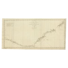
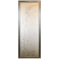
Chart of the East Coast of England
About the Item
Chart of the East Coast of England, from Dungeness to Flamborough, including the entrances to the Thames River. Drawn by hydrographer J.W. Norie in 1841. Includes Kent, Essex and Suffolk counties, as well as Harwich Harbour and Yarmouth Roads. Set in a beautiful black and gold frame.
Overall Dimensions: Weight is 32 pounds. 38"H x 78"W.
- Dimensions:Height: 38 in (96.52 cm)Width: 78 in (198.12 cm)Depth: 1 in (2.54 cm)
- Materials and Techniques:
- Place of Origin:
- Period:
- Date of Manufacture:1841
- Condition:
- Seller Location:Norwell, MA
- Reference Number:
About the Seller
5.0
Vetted Seller
These experienced sellers undergo a comprehensive evaluation by our team of in-house experts.
Established in 1967
1stDibs seller since 2015
345 sales on 1stDibs
Typical response time: 2 hours
- ShippingRetrieving quote...Ships From: Norwell, MA
- Return PolicyThis item cannot be returned.
More From This SellerView All
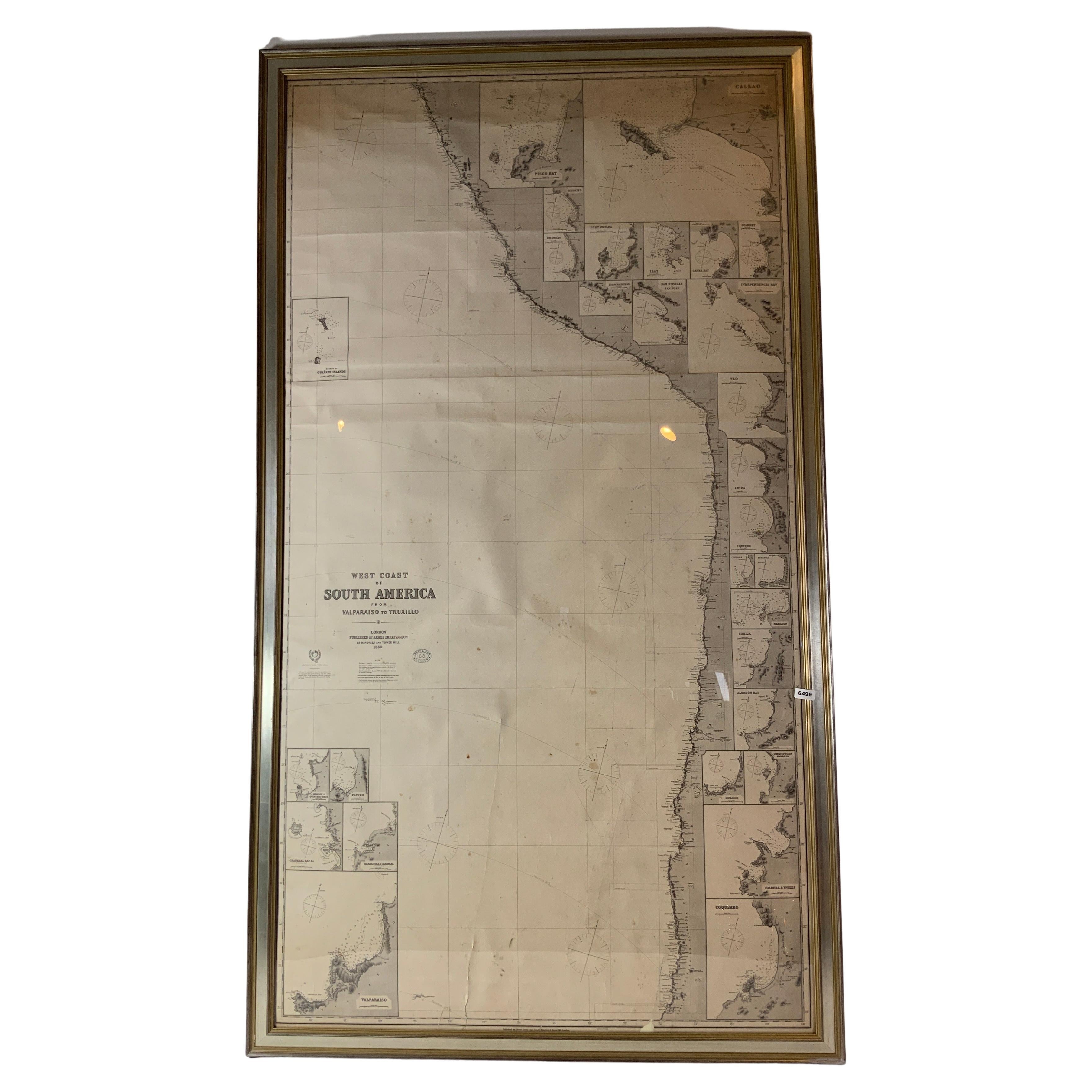
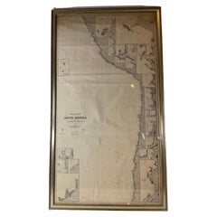
- Chart of West Coast of South America by James Imray and SonLocated in Norwell, MAChart of West Coast of South America compiled by James F. Imray and published in 1880. The chart captures the west coast from Valparaiso to Truxillo. Includes ...Category
Antique 1880s English Nautical Objects
MaterialsPaper
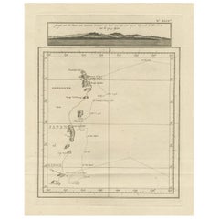
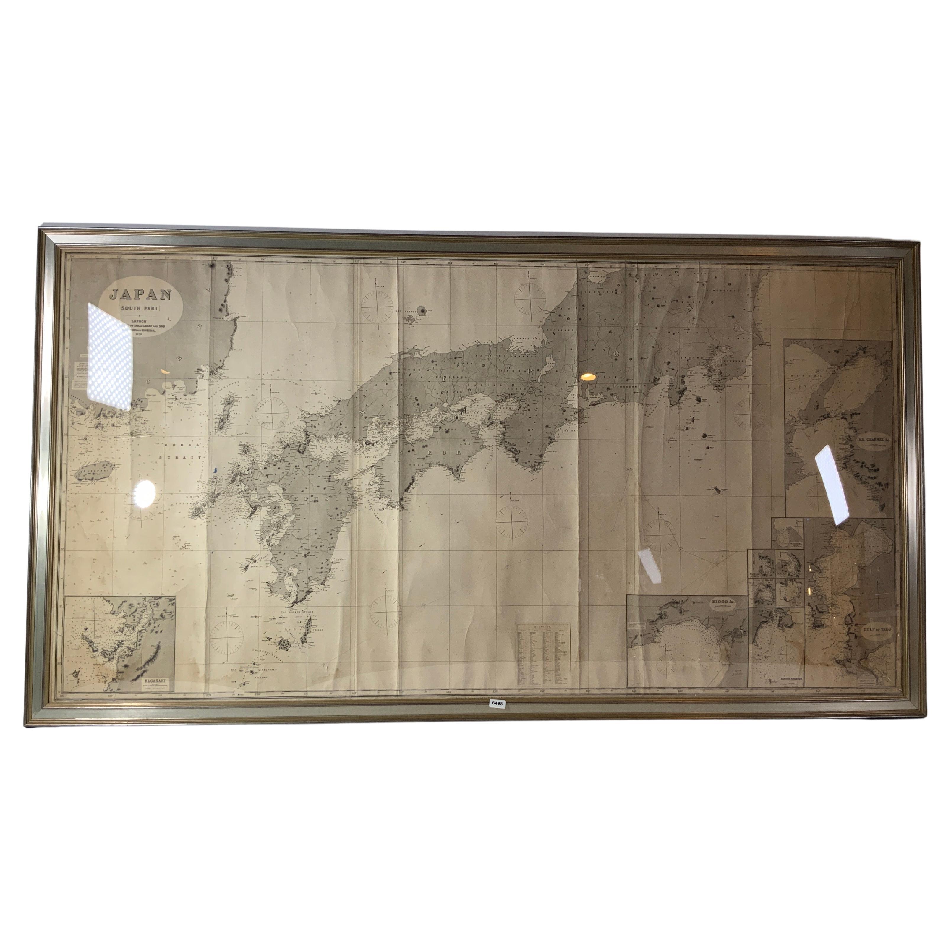
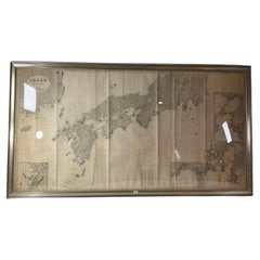
- Chart of Japan by James Imray and SonLocated in Norwell, MAChart of southern Japan compiled by James F. Imray and published in 1870. The chart captures the coast and islands. Includes Nagasaki, Kii Channel, Gulf of Yed...Category
Antique 1870s English Nautical Objects
MaterialsPaper
- Long Island Chart from 1828Located in Norwell, MARare original chart of Long Island Sound by E + G Blunt of New York, 179 Water St. "Surveyed in the years 1828, 29 & 30" Exceedingly rare and early chart, titled Long Island Sound fr...Category
Antique 1830s Nautical Objects
MaterialsPaper
- Original 1910 George Eldridge ChartLocated in Norwell, MAOriginal framed 1910 George Eldridge chart "E" showing Gloucester to the Kennebec river. Showing the coast of Maine in great detail. Towns include Bath, Camden, Portland, the Coastal...Category
20th Century Unknown Maps
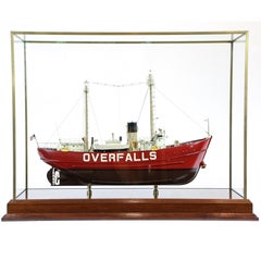
- Coast Guard Vessel "Overfalls"Located in Norwell, MALigthship Overfalls was launched in 1938 as LV 118. Built in East Boothbay, Maine, Overfalls was stationed at Cornfield Point, Connecticut from 1938-1957; Cross Rip, Massachusetts fr...Category
20th Century Nautical Objects
- 1896 Chart of the New Haven HarborLocated in Norwell, MANew Haven Harbor Chart published May 1896 by the United States Coast and geodetic survey. This chart is also a map of the land around the harbor and etc., loaded with detail. Nicely ...Category
Antique 1890s North American Prints
MaterialsPaper


You May Also Like
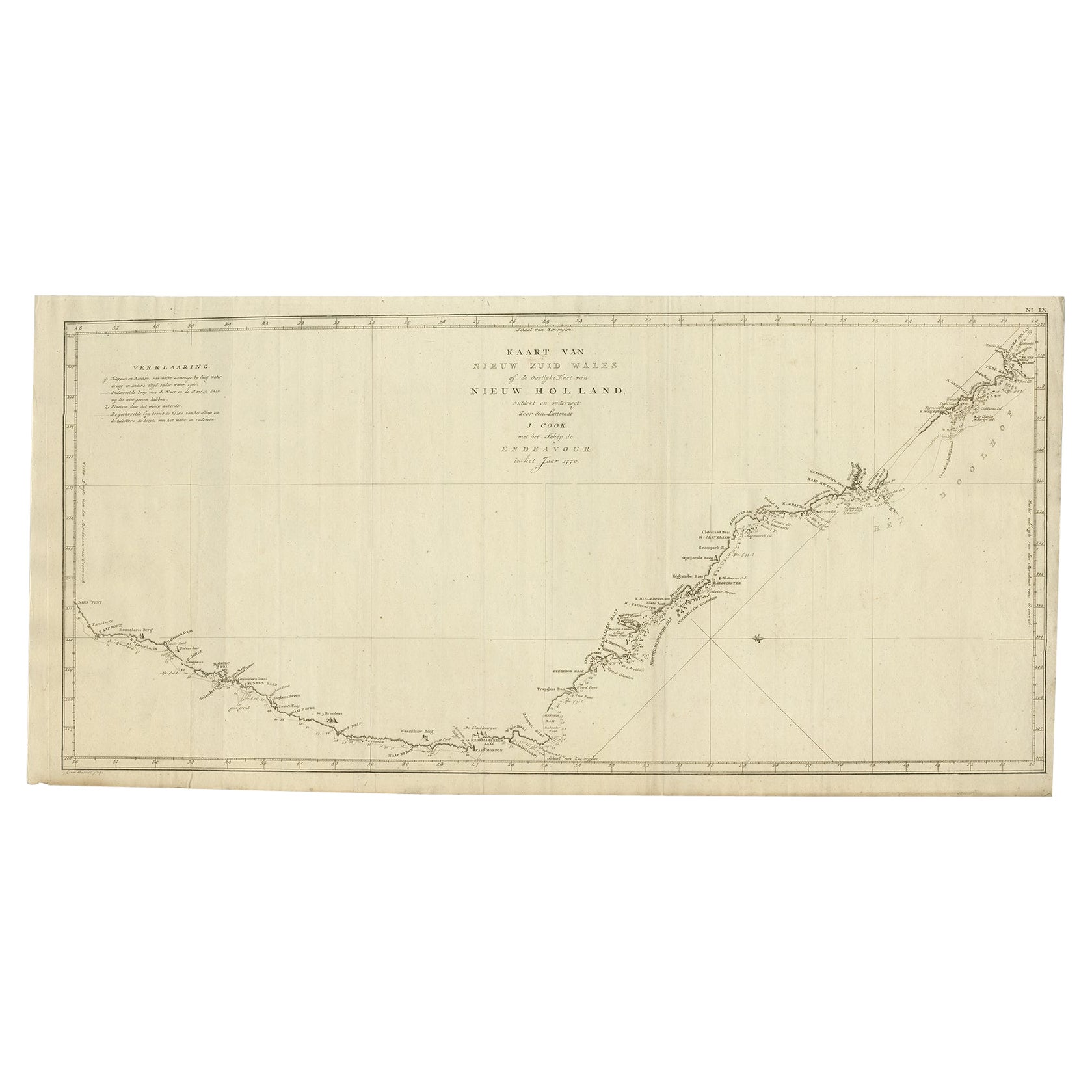
- Old Map of Cook's Discovery and Charting of the East Coast of Australia, 1803Located in Langweer, NLAntique map titled 'Kaart van Nieuw Zuid Wales of de Oostlyke Kust van Nieuw Holland ontdekt en onderzogt door den Luitenant J. Cook met het Schip de Endeavour in het Jaar 1770'. ...Category
Antique Early 1800s Maps
MaterialsPaper
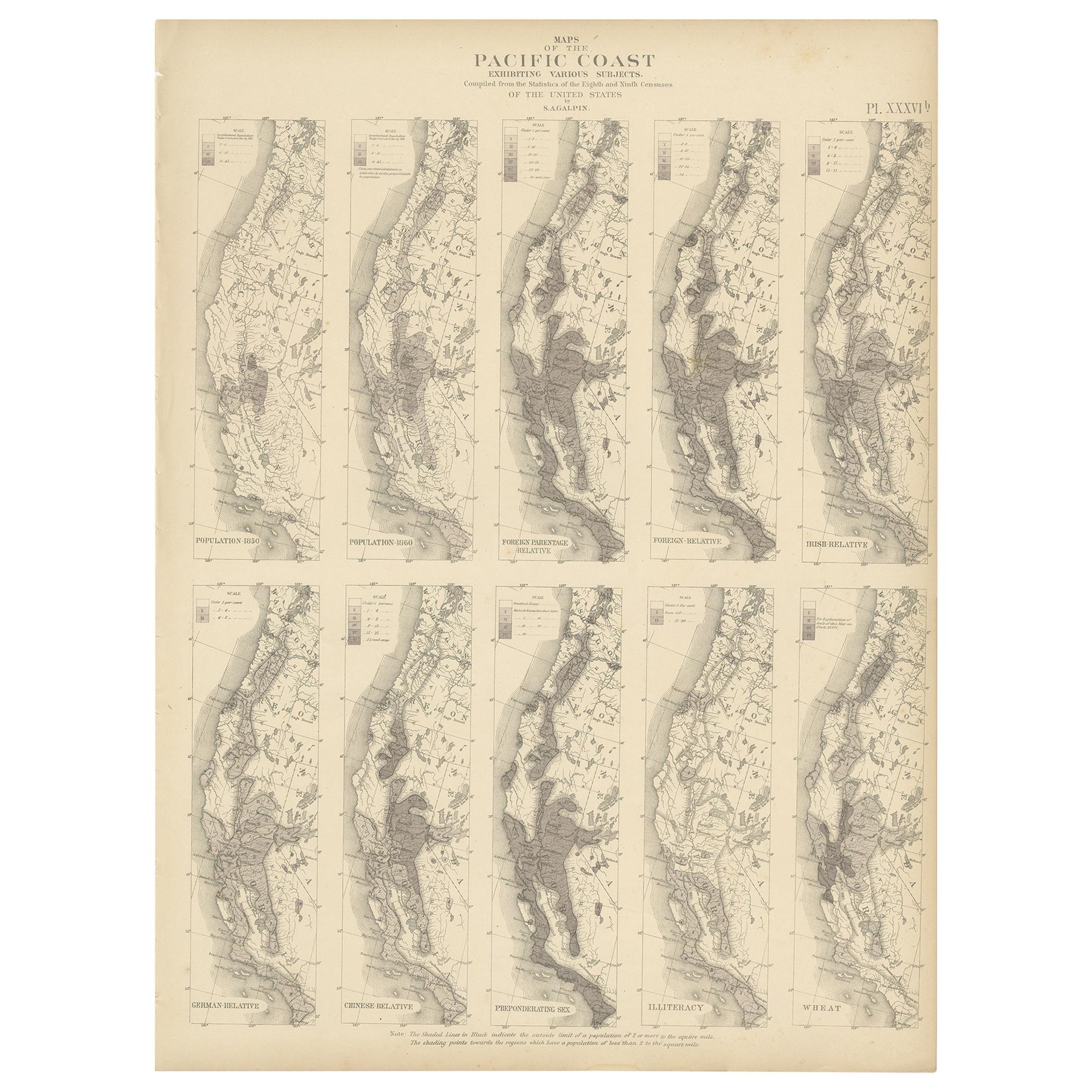
- Antique Chart of the Pacific Coast '1874'Located in Langweer, NLAntique chart titled 'Maps of the Pacific Coast exhibiting various subjects. Compiled from the statistics of the eight and ninth census of the United Sta...Category
Antique Late 19th Century Maps
MaterialsPaper
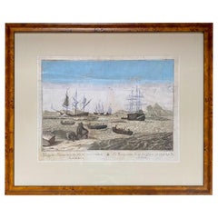
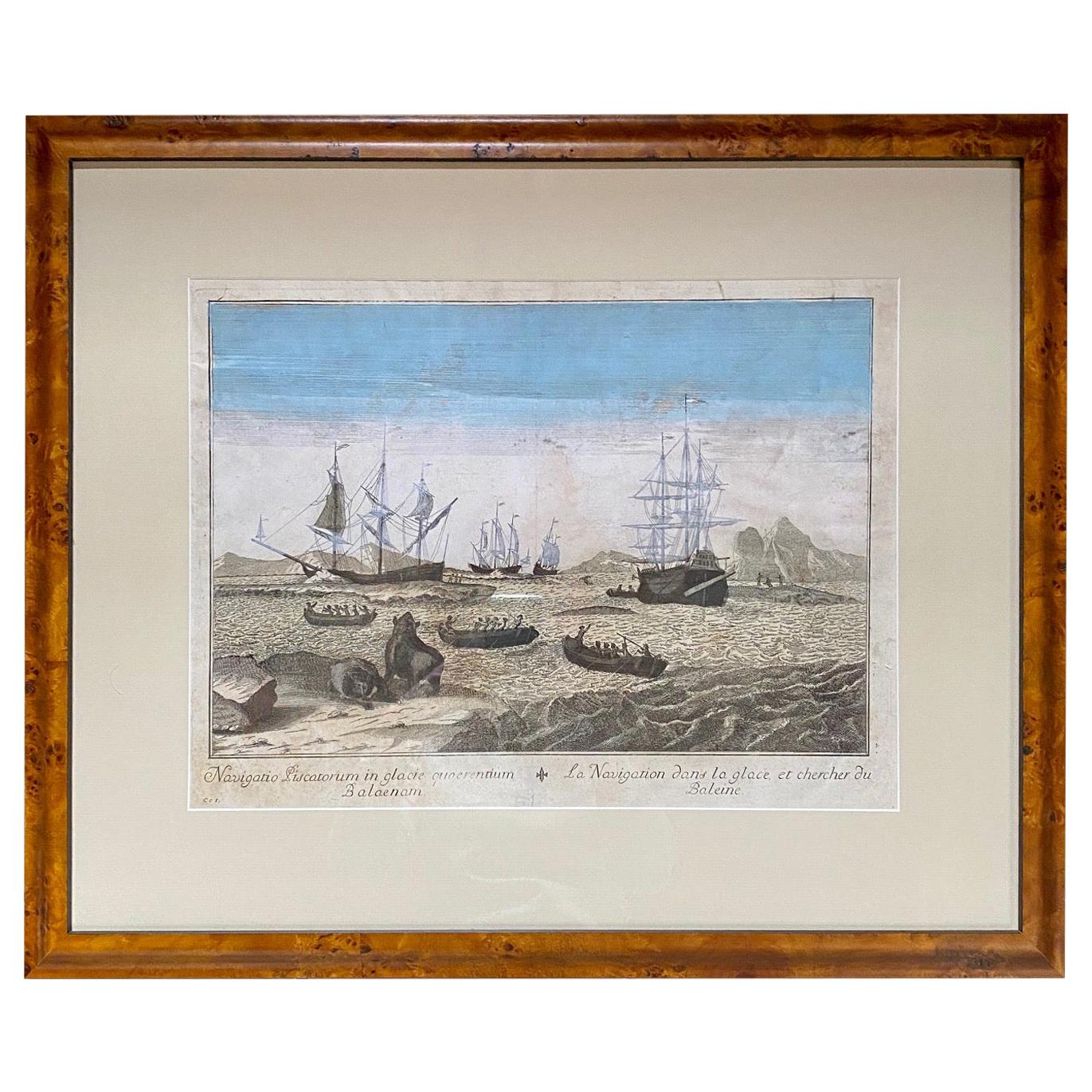
- Early 18th Century Engraving of the Northern Whale Fishery, circa 1720Located in Nantucket, MAVery early 18th century Dutch woodblock engraving of the Northern Whale Fishery, circa 1720, a hand colored engraving illustrating the Dutch whaling flee...Category
Antique 1720s Dutch Baroque Prints
MaterialsPaper
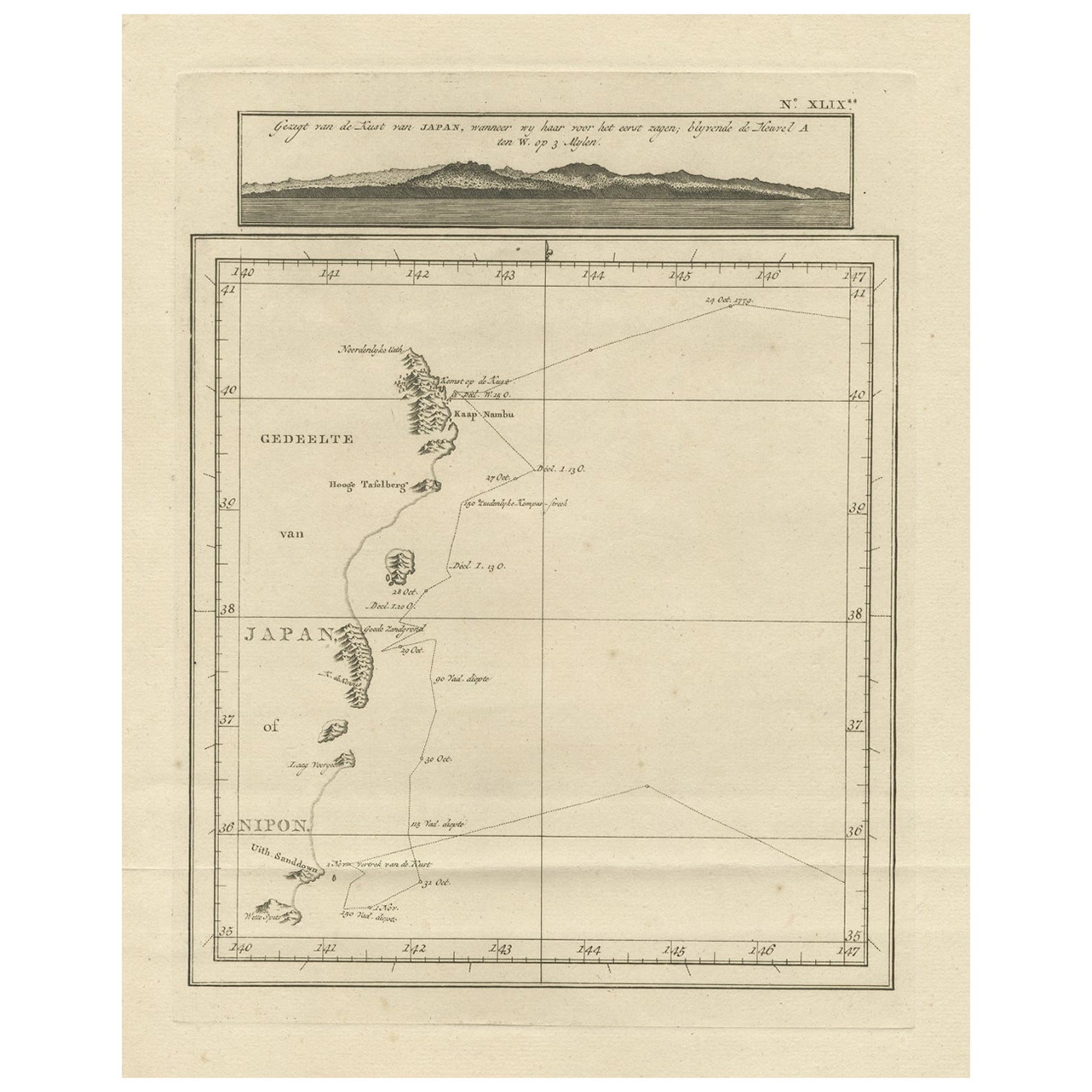
- Map of the East Coast of Hanshu or Honshu & a View of the Japanese Coast, 1803Located in Langweer, NLAntique map titled 'Gedeelte van Japan of Nipon'. Map of the east coast of Hanshu, with a view of the Japanese coast titled 'Gezigt van de Kust van Japan, wanneer wij haar voor h...Category
Antique Early 1800s Maps
MaterialsPaper
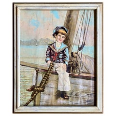
- 19th Century Chromolithograph of a Sailor BoyLocated in Nantucket, MA19th Century chromolithograph of a sailor boy, circa 1880, a colored print on canvas view of a young American sailor boy sitting astride a bowsprit. A class...Category
Antique Late 19th Century American Victorian Prints
MaterialsCanvas
- Antique Map of the East Coast of Sumatra , Indonesia, 1900Located in Langweer, NLAntique map of the East Coast of Sumatra. Also depicting the Strait of Malacca. This map originates from 'Atlas van Nederlandsch Oost- en West-Indië' by I. Dornseiffen. Artists and...Category
20th Century Maps
MaterialsPaper