40 Speeches for the Lenting Time in Different Italian Towns, Seromens, 1735
View Similar Items


1 of 11
40 Speeches for the Lenting Time in Different Italian Towns, Seromens, 1735
About the Item
- Creator:R.P. Ulrich Dirrhaimer (Author),R.P. Paul Segner (Author)
- Dimensions:Height: 8.27 in (21 cm)Width: 6.7 in (17 cm)Depth: 1.58 in (4 cm)
- Style:Other (Of the Period)
- Materials and Techniques:
- Period:
- Date of Manufacture:1735
- Condition:Wear consistent with age and use. Please, ask for more pictures.
- Seller Location:Unteriberg, CH
- Reference Number:Seller: 645591stDibs: LU4518113849811
You May Also Like
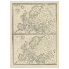
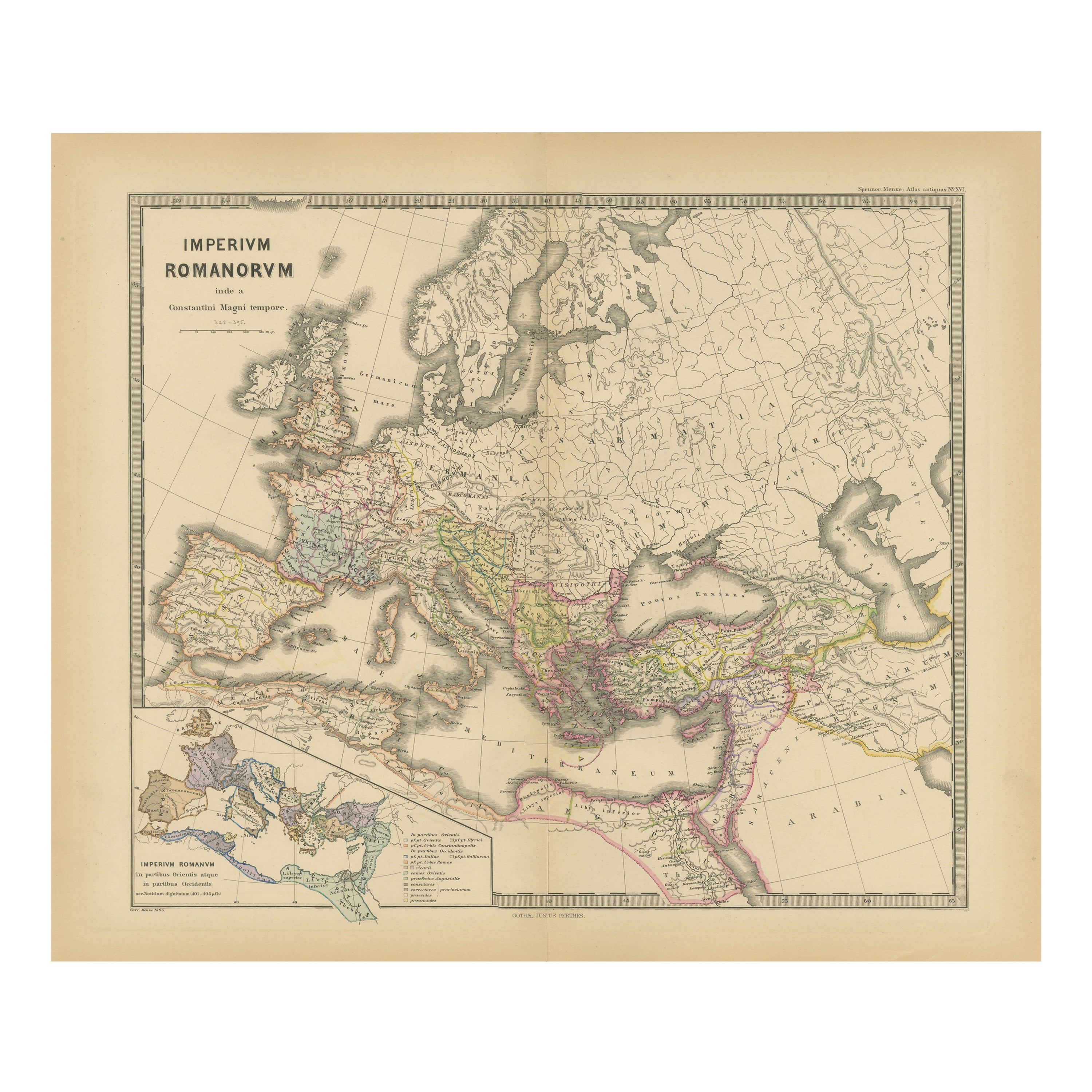
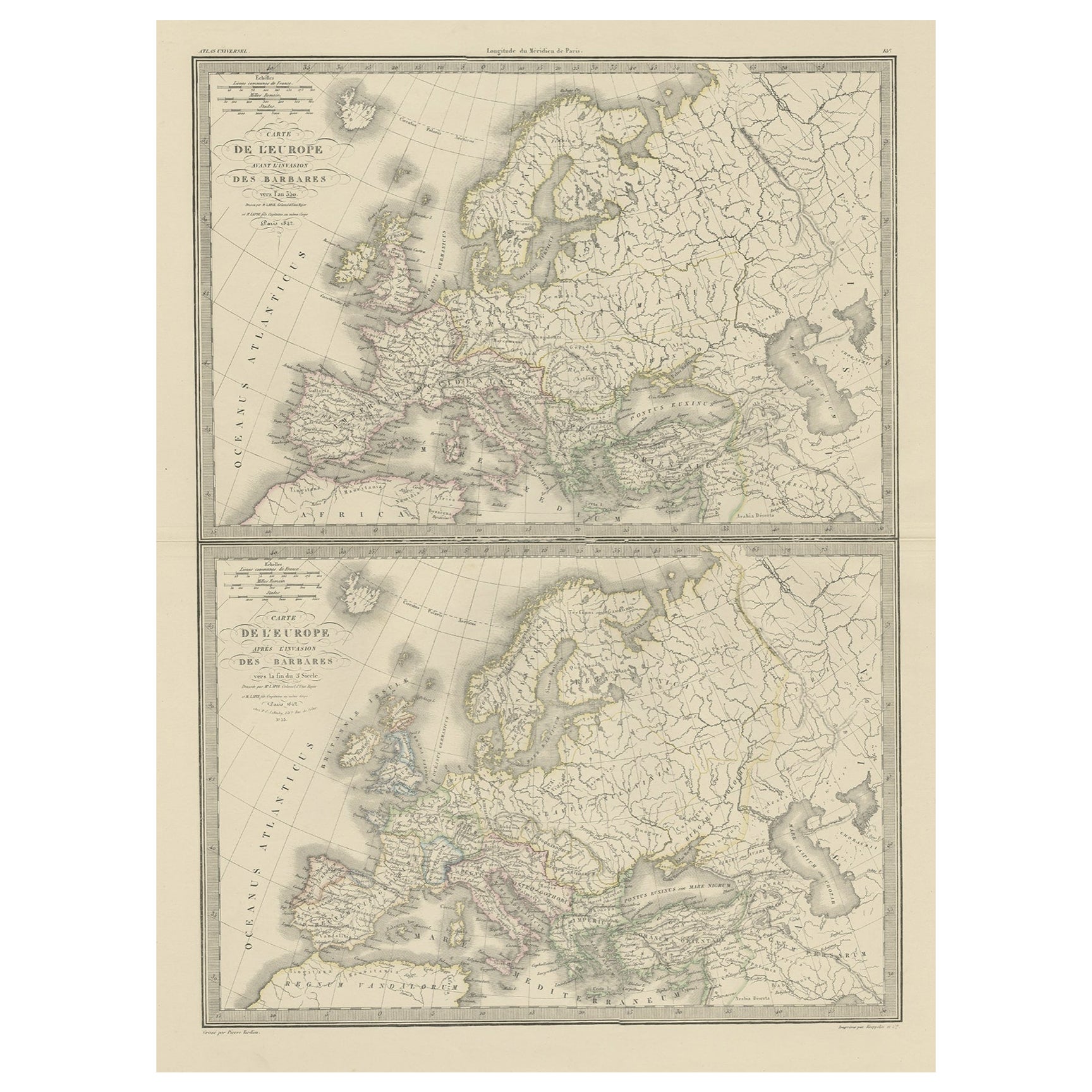
- Two Antique Maps of Europe on One Sheet in Different Time Periods, 1842Located in Langweer, NLAntique map titled 'Carte de l'Europe'. Two maps of Europe. The upper map depicts Europe in the year 350, the lower map depicts Europe in the 5th century. This map originates from 'A...Category
Antique 19th Century Maps
MaterialsPaper
- Antique Map of the Lorraine Region 'France' (c.1735)Located in Langweer, NLAntique map titled 'Carte du Duche de Lorraine - Kaart van Lotharingen'. A detailed map of the Duchy of Lorraine. The map is surrounded by thirteen vignette bird-eye view of fortifie...Category
Antique Mid-18th Century Maps
MaterialsPaper
 $191 Sale Price36% Off
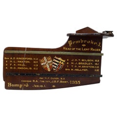
 - Presentation Rowing Rudder, Pembroke College, Head of the Lent RacesLocated in Oxfordshire, GBCambridge University, Pembroke College, Presentation Rowing Rudder. An original presentation trophy rudder 'Pembroke College, Head Of The Lent Races 1933' with gold calligraphy and t...Category
Vintage 1930s English Sporting Art Sports Equipment and Memorabilia
MaterialsWood
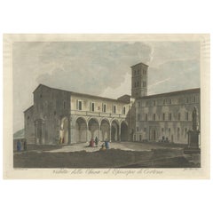
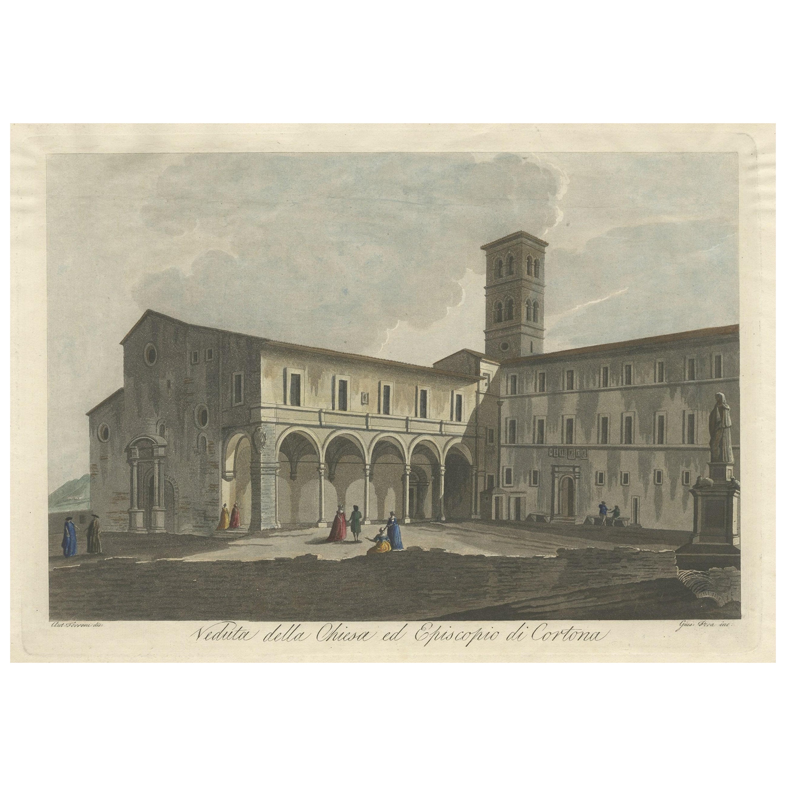
- View of the Church of Cortona, a Town and Comune Arezzo, in Tuscany, Italy, 1800Located in Langweer, NLAntique print titled 'Veduta della Chiesa ed Episcopio di Cortona'. View of the church of Cortona, a town and comune in the province of Arezzo, in Tuscany, Italy. Source unknown,...Category
Antique Early 1800s Maps
MaterialsPaper
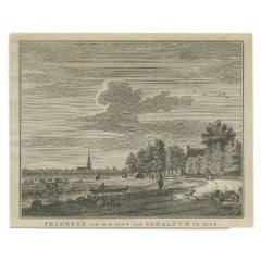
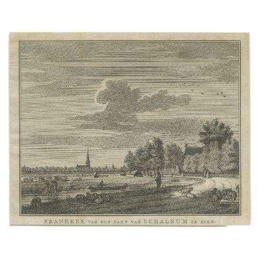
- Antique Print of the Old University Town Franeker in the Netherlands '1786'Located in Langweer, NLAntique print titled 'Franeker van den kant van Schalsum te zien'. Old print with a view on the city of Franeker, as seen from Schalsum. This print originates from 'Hedendaagsche His...Category
Antique 18th Century Prints
MaterialsPaper
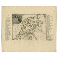
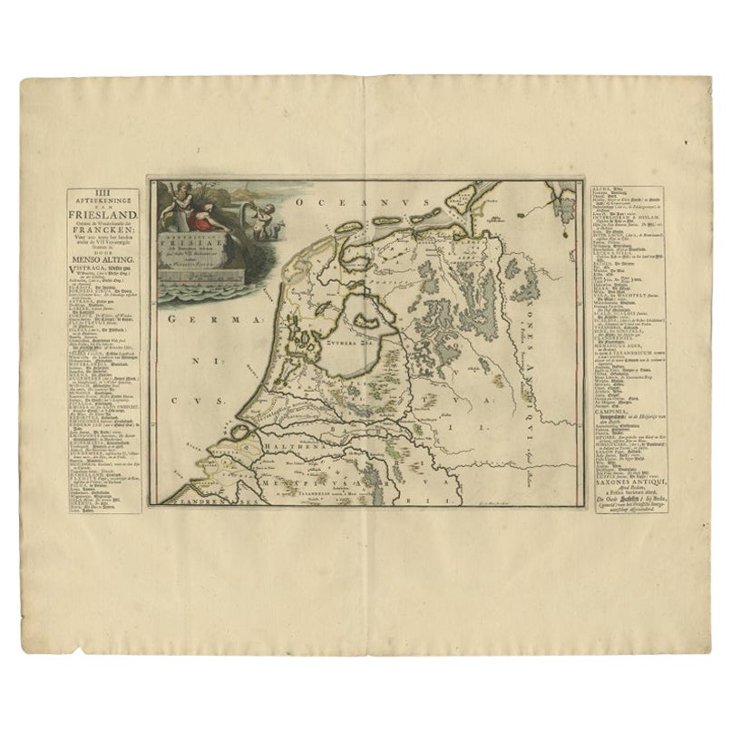
- Antique Map of Friesland in the Time of the Franks, 1718Located in Langweer, NLAntique map Friesland titled 'Descriptio Frisiae sub Francorum reditum (..)'. Old map of Friesland, the Netherlands, in the time of the Franks. Originates from 'Uitbeelding van de He...Category
Antique 18th Century Maps
MaterialsPaper