Items Similar to 1705 Golfe de Mexico and Florida Framed Map


Want more images or videos?
Request additional images or videos from the seller
1 of 14
1705 Golfe de Mexico and Florida Framed Map
About the Item
Framed map of Mexico & Florida circa 1705, Paris. Small map with Mexico and the Gulf Coast. Inset text indicating Panama, Acapulco, Mexico City and the Mississippi. Extends North to Santa Fe. Framed in a carved brown wood frame.
- Dimensions:Height: 16.5 in (41.91 cm)Width: 20.5 in (52.07 cm)Depth: 1 in (2.54 cm)
- Style:Spanish Colonial (In the Style Of)
- Materials and Techniques:
- Place of Origin:
- Period:1700-1709
- Date of Manufacture:1705
- Condition:Additions or alterations made to the original: Reframed. Wear consistent with age and use. Minimal overall wear.
- Seller Location:Stamford, CT
- Reference Number:1stDibs: LU1860319808422
About the Seller
5.0
Platinum Seller
These expertly vetted sellers are 1stDibs' most experienced sellers and are rated highest by our customers.
Established in 2010
1stDibs seller since 2016
392 sales on 1stDibs
Typical response time: 10 hours
- ShippingRetrieving quote...Ships From: Stamford, CT
- Return PolicyA return for this item may be initiated within 2 days of delivery.
More From This SellerView All
- 1830 Mexico and United States Framed MapLocated in Stamford, CTMap of North America published circa 1830. Map shows United States into Canada. Mexico extending into the upper California territory. Texas appears in name but prior to the period of...Category
Antique 1830s American American Classical Maps
MaterialsGlass, Wood, Paper
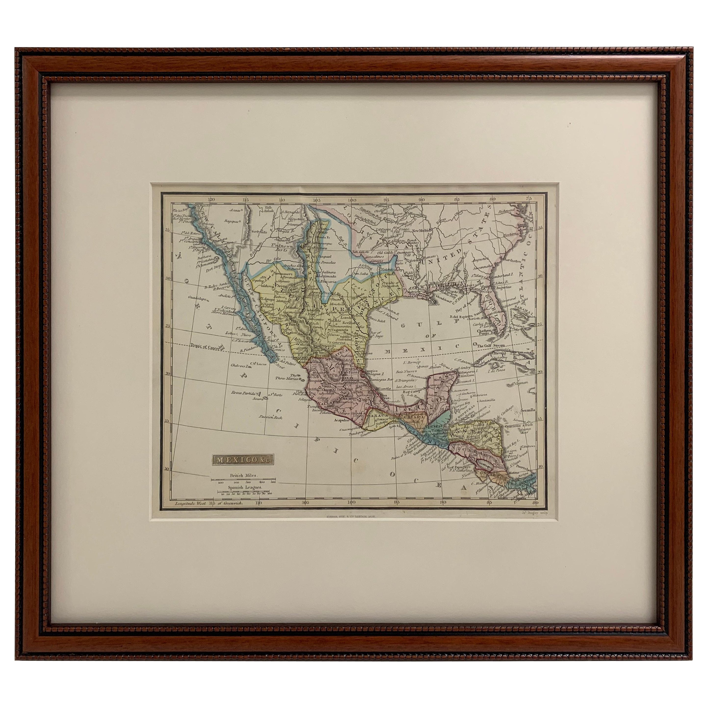
- Framed 1838 Mexico & Gulf of Mexico MapLocated in Stamford, CTFramed 1838 Mexico & Gulf of Mexico map. Printed by Fisher, Son & Co. of London in 1838. As found framed condition. Map has not been examined outside of th...Category
Antique 1830s English American Classical Maps
MaterialsGlass, Wood, Paper
- Framed Mercator Hondius Hispania Nova Atlas Minor MapLocated in Stamford, CTFramed colored example of this decorative and important minature map. Newly framed in brown wood frame with gold trim. Mercator Hondius “Atlas Minor” pu...Category
Antique 17th Century Dutch Spanish Colonial Maps
MaterialsGlass, Wood, Paper
- Framed 1820s Hand Colored Map of the United StatesLocated in Stamford, CTFramed 1820s hand colored map photos of North America and South America. As found framed in giltwood frame.Category
Antique 1820s American Spanish Colonial Maps
MaterialsGiltwood, Paper, Glass
- Framed 1839 Hand Colored Map of the United StatesLocated in Stamford, CTFramed hand colored map of the United States of America from 1839. Newly framed in a giltwood frame.Category
Antique 1830s American American Classical Maps
MaterialsGiltwood, Paper, Glass
- Joseph Richardson and Family Philadelphia Silversmiths BookLocated in Stamford, CTFirst edition Joseph Richardson and Family Philadelphia Silversmiths by Martha Ganda Fales. Hardcover first edition, 1974. Very good overall conditi...Category
Vintage 1970s American American Colonial Books
MaterialsPaper


You May Also Like
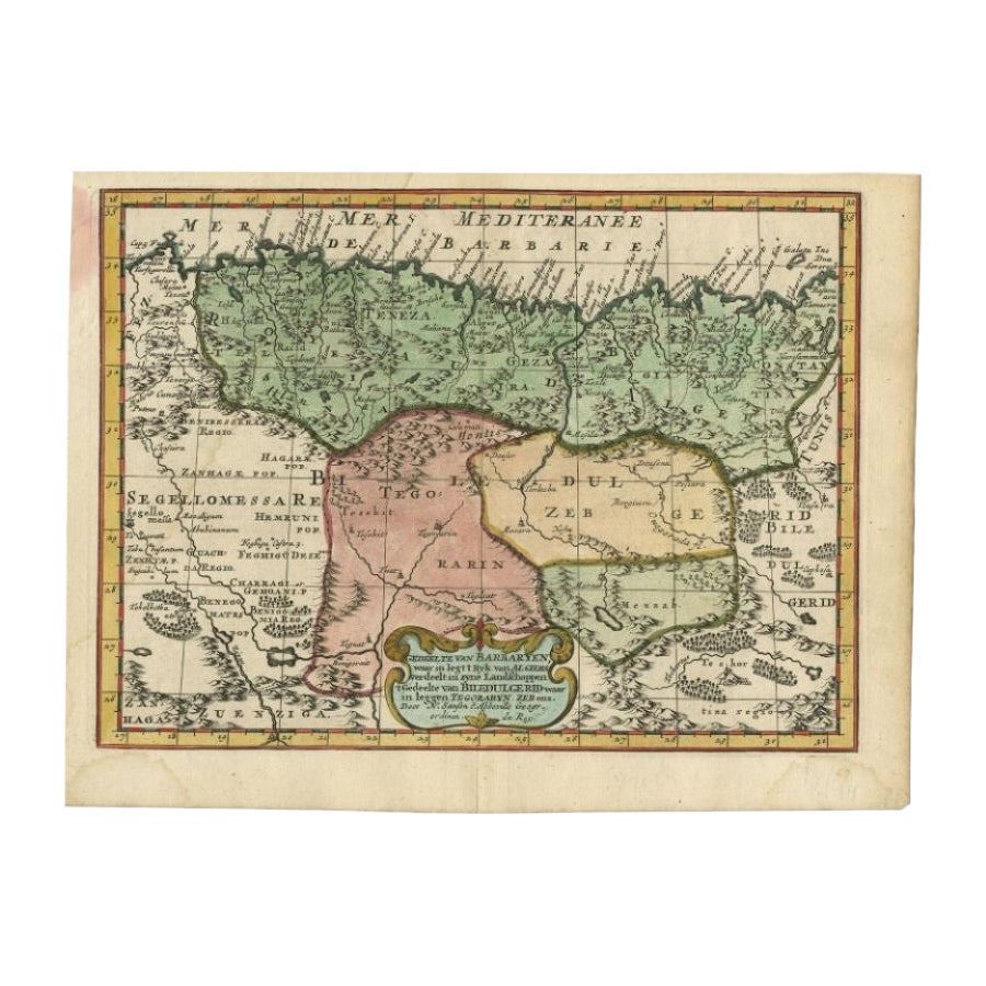
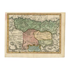
- Antique Map of Barbary and Biledulgerid by Sanson, 1705Located in Langweer, NLAntique map, titled: 'Gedeelte van Barbaryen (…).' - Decorative hand colored map of a part of Barbary (Algeria) and Biledulgerid (Tegoryn, Zeb etc.), North Africa. Source unknown, to...Category
Antique 18th Century Maps
MaterialsPaper
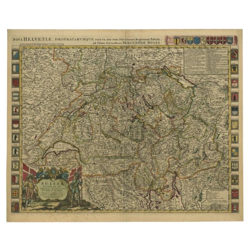
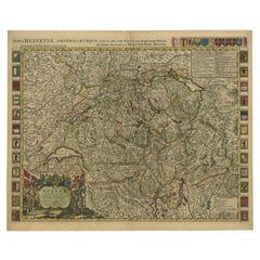
- Antique Map of Switzerland by Jaillot, c.1705Located in Langweer, NLAntique map Switerzland titled 'La Suisse Divisee en ses Treze Cantons, ses Alliez & ses Sujets (..)'. Beautiful map of Switzerland with 33 coats of arms. The map is dedicated to the...Category
Antique 18th Century Maps
MaterialsPaper
- Antique Map of Russia by N. Sanson, 1705Located in Langweer, NLA strongly engraved map of European Russia showing its political divisions, major topographical features, cities and towns. Extends to the Sea of Azov and the tip of the Caspian Sea ...Category
Antique Early 18th Century Maps
MaterialsPaper
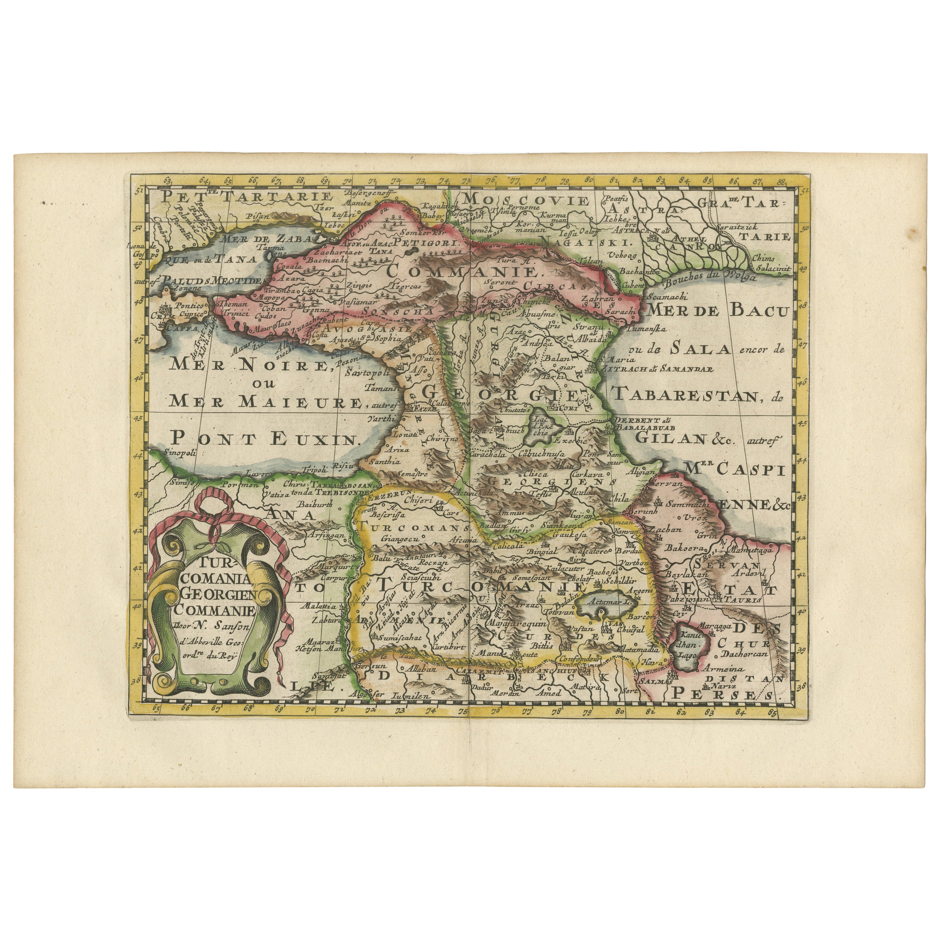
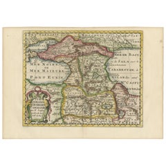
- Historical Map of the Black Sea and Surrounding Regions, 1705Located in Langweer, NLTitle: "Map of Turcomania, Georgia, and Comania" This print presents an intricately detailed map of the Caucasus region, titled “Turcomania, Georgien Commanie,” by the esteemed cart...Category
Antique Early 1700s Maps
MaterialsPaper
- Antique Map of Asia by Sanson, circa 1705By Nicolas SansonLocated in Langweer, NLDutch edition of Sanson's map of Asia. Shows a large, dramatic version of Terre de Jesso, drawn from the discoveries of the Maarten de Vries expedition of 1643.Category
Antique Early 18th Century Dutch Maps
MaterialsPaper
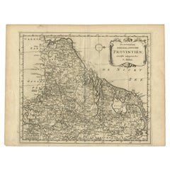
- Antique Map of the Seventeen Provinces by Halma '1705'Located in Langweer, NLAntique map titled 'De zeventien Nederlantsche Provintiën'. Original antique map of the Seventeen Provinces, the Imperial states of the Habsburg Netherlands in the 16th century. This...Category
Antique Early 18th Century Maps
MaterialsPaper


Recently Viewed
View AllMore Ways To Browse
Brown Wood
Used Furniture Florida
Used Furniture In Florida
Spain Mexico Furniture
Spanish Mexican Furniture
Mexican Spanish
Map Paris
Paris Map
Mexican Colonial
Mexico Colonial
Colonial Mexico
Santa Fe Used Furniture
Antique Furniture Florida
Framed Map
Framed Maps
Antique Furniture In Florida
Mexican Colonial Furniture
Antique Map Framed