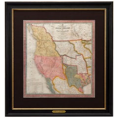
1846 Antique Map of Texas, Oregon, California, and Regions Adjoining by Mitchell
View Similar Items


Want more images or videos?
Request additional images or videos from the seller
1 of 6
1846 Antique Map of Texas, Oregon, California, and Regions Adjoining by Mitchell
About the Item
- Creator:Samuel Augustus Mitchell 1 (Maker)
- Dimensions:Height: 32.5 in (82.55 cm)Width: 31.5 in (80.01 cm)Depth: 2 in (5.08 cm)
- Materials and Techniques:
- Place of Origin:
- Period:
- Date of Manufacture:1846
- Condition:Wear consistent with age and use. Minor losses.
- Seller Location:Colorado Springs, CO
- Reference Number:Seller: M2601stDibs: LU909717759412
About the Seller
4.9
Platinum Seller
These expertly vetted sellers are 1stDibs' most experienced sellers and are rated highest by our customers.
Established in 2010
1stDibs seller since 2011
400 sales on 1stDibs
More From This SellerView All
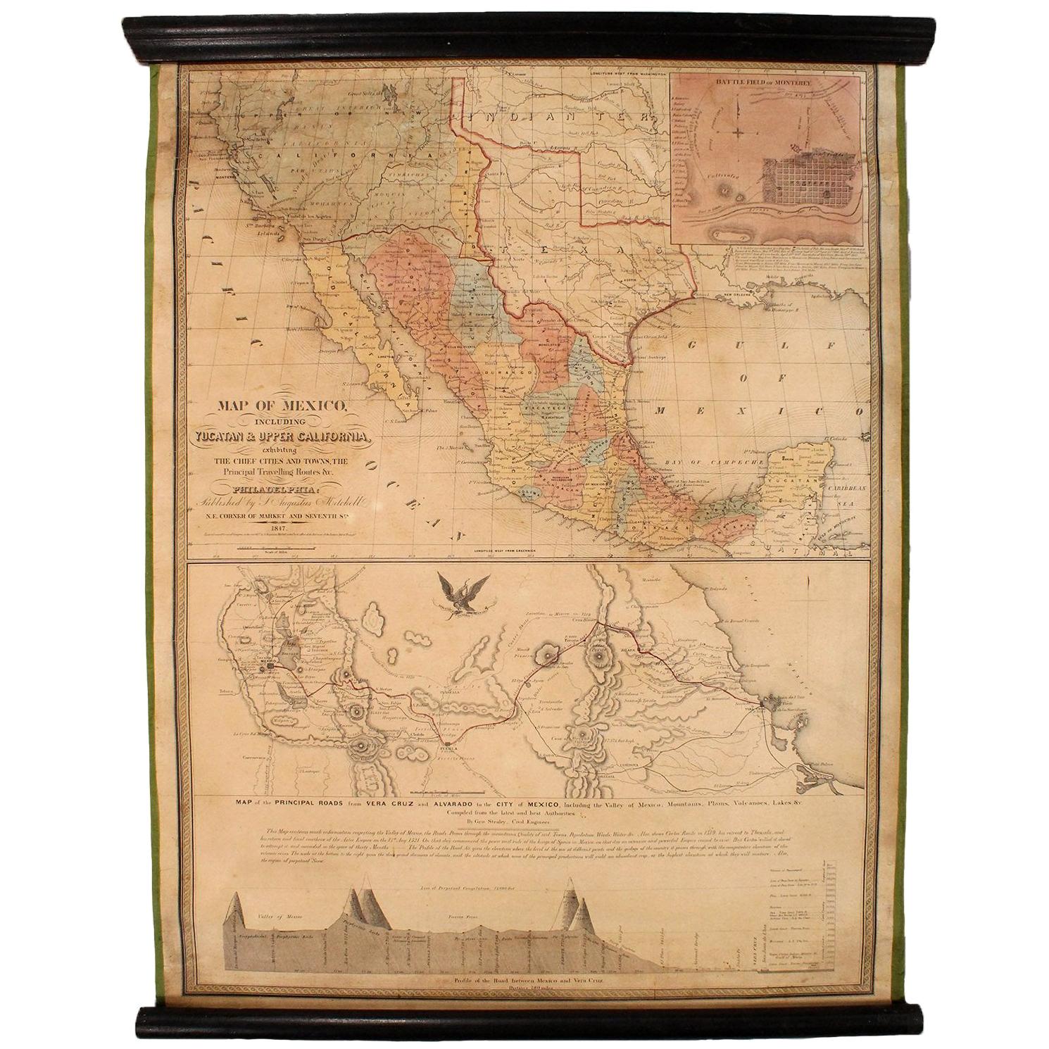
- 1847 Antique Map of Mexico, Texas and California by Samuel Augustus MitchellBy Samuel Augustus Mitchell 1Located in Colorado Springs, COPresented is the second edition of Samuel Augustus Mitchell's Map of Mexico, Including Yucatan & Upper California, an important map showing the progress of the Mexican-American War. ...Category
Antique 1840s American Maps
MaterialsPaper
- 1908 "Map of Texas" by The Kenyon CompanyLocated in Colorado Springs, COPresented is an antique map of the state of Texas, printed as a pocket map in 1908 by The Kenyon Company. The state map is brightly colored by county, with principal cities and towns listed. The congressional districts are numbered and boldly outlined in red. Rivers, roads, and railroads all appear prominently on this fantastic map...Category
Antique Early 1900s American Maps
MaterialsPaper
- "San Francisco, Upper California” 1851 Antique Map of San FranciscoLocated in Colorado Springs, COThis is a pictorial lettersheet view of the city and harbor of San Francisco. This lithograph was printed on grey wove paper, across a double sheet, by famed lithographers Britton & ...Category
Antique 1850s American Prints
MaterialsPaper
 $1,200 Sale Price20% Off
 - 1873 "Map of the States of California and Nevada" by Chas. Drayton GibbesLocated in Colorado Springs, COPresented is Warren Holt and Charles Drayton Gibbes' 1873 “Map of California and Nevada.” This map is considered to be one of the finest large-scale ...Category
Antique 1870s American Maps
MaterialsPaper
- 1859 "Colton's New Map of the State of Texas..." by Johnson & BrowningLocated in Colorado Springs, COPresented is "Colton's New Map of the State of Texas Compiled from De Cordova's Large Map", published in Alivin J. Johnson’s “New Illustrated Family Atlas.” The map was published in ...Category
Antique 1850s American Maps
MaterialsPaper
- 1842 Wall Map of the United States by J. H. Young, Published by S. A. MitchellLocated in Colorado Springs, COPresented is an 1842 hanging “Map of the United States,” engraved by J. H. Young and published by Samuel Augustus Mitchell, Philadelphia. This is a beautiful example of the rare 1842...Category
Antique 1840s American Maps
MaterialsPaper


You May Also Like
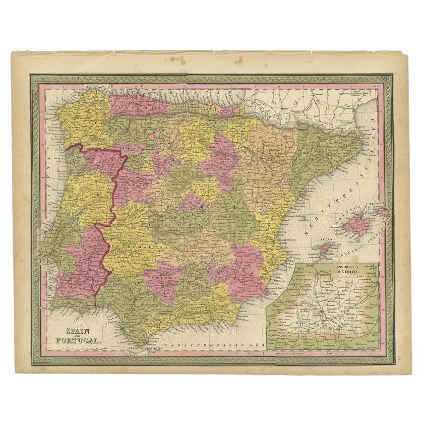
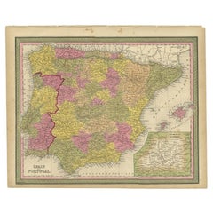
- Antique Map of Spain and Portugal by Mitchell, 1846Located in Langweer, NLAntique map titled 'Kingdom of Spain and Portugal'. Old map of Spain and Portugal, with an inset map of the region of Madrid. This map originates from 'A New Universal Atlas Containi...Category
Antique 19th Century Maps
MaterialsPaper
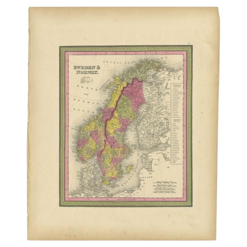
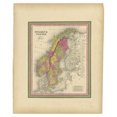
- Antique Map of Sweden and Norway by Mitchell, 1846Located in Langweer, NLAntique map titled 'Sweden & Norway'. Old map of Sweden and Norway. This map originates from 'A New Universal Atlas Containing Maps of the various Empires, Kingdoms, States and Repub...Category
Antique 19th Century Maps
MaterialsPaper
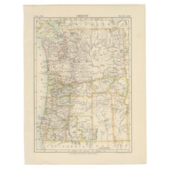
- Antique Map of OregonLocated in Langweer, NLAntique map titled 'Oregon'. Original antique map of Oregon, United States. This print originates from 'Encyclopaedia Britannica', Ninth Edition. Publish...Category
Antique Late 19th Century Maps
MaterialsPaper
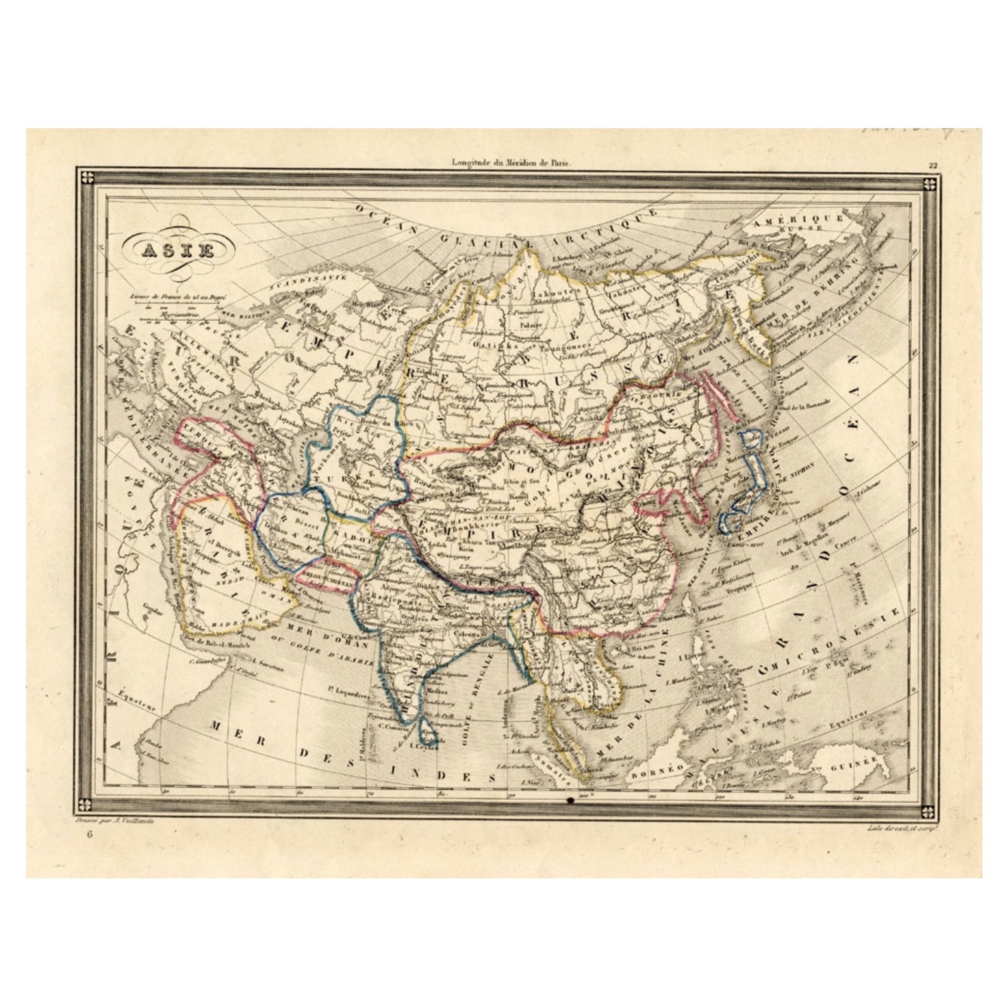
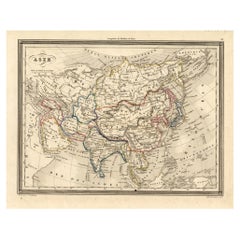
- Antique Map of Asia, 1846Located in Langweer, NLAntique map titled 'Asie'. Original antique map of Asia. Source unknown, to be determined. Artists and Engravers: Alexandre Vuillemin (1812-188...Category
Antique 19th Century Maps
MaterialsPaper
- Antique Map of Champagne and surrounding Regions, FranceLocated in Langweer, NLAntique map titled 'Carte de la Champagne et des Pays Voisins (..)'. Detailed map of Champagne and surrounding regions of Chalons and Soissons, Reims, Vedun, Mouzon, Sean, Charlemont...Category
Antique Mid-18th Century Maps
MaterialsPaper
- Antique Map of the Arctic Regions by Lowry '1852'Located in Langweer, NLAntique map titled 'Arctic Regions'. Original map of the Arctic Regions. This map originates from 'Lowry's Table Atlas constructed and engraved from the most recent Authorities' by J...Category
Antique Mid-19th Century Maps
MaterialsPaper


Recently Viewed
View AllMore Ways To Browse
Large Framed Maps
Large Framed Antique Maps
Antique Furniture Oregon
Map Of Mexico
Antique Letter J
Antique Map Mexico
Antique Mexico Map
Antique Map Of Mexico
C S Lewis
Antique Maps Of Mexico
Mexico Antique Map
Antique Maps Mexico
Antique Texas Collectables
Antique Furniture Missouri
Antique Maps California
Antique Map California
Antique Maps Of California
Antique Map Of California