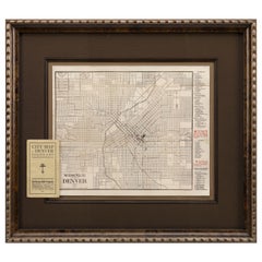
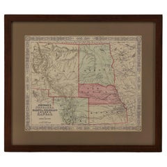
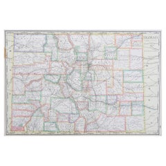
1905 Guide Map of Denver Colorado, by George Bell Co., Antique Map with Booklet
View Similar Items


Want more images or videos?
Request additional images or videos from the seller
1 of 8
1905 Guide Map of Denver Colorado, by George Bell Co., Antique Map with Booklet
About the Item
- Dimensions:Height: 25 in (63.5 cm)Width: 27 in (68.58 cm)Depth: 1.5 in (3.81 cm)
- Materials and Techniques:
- Place of Origin:
- Period:1900-1909
- Date of Manufacture:1905
- Condition:Wear consistent with age and use. Minor fading. Very good condition for age. Very slight discoloration along fold lines. Mounted with original booklet which is in very good condition. Framed according to the highest conservation standards.
- Seller Location:Colorado Springs, CO
- Reference Number:Seller: M2141stDibs: LU909714011402
About the Seller
4.9
Platinum Seller
These expertly vetted sellers are 1stDibs' most experienced sellers and are rated highest by our customers.
Established in 2010
1stDibs seller since 2011
400 sales on 1stDibs
More From This SellerView All
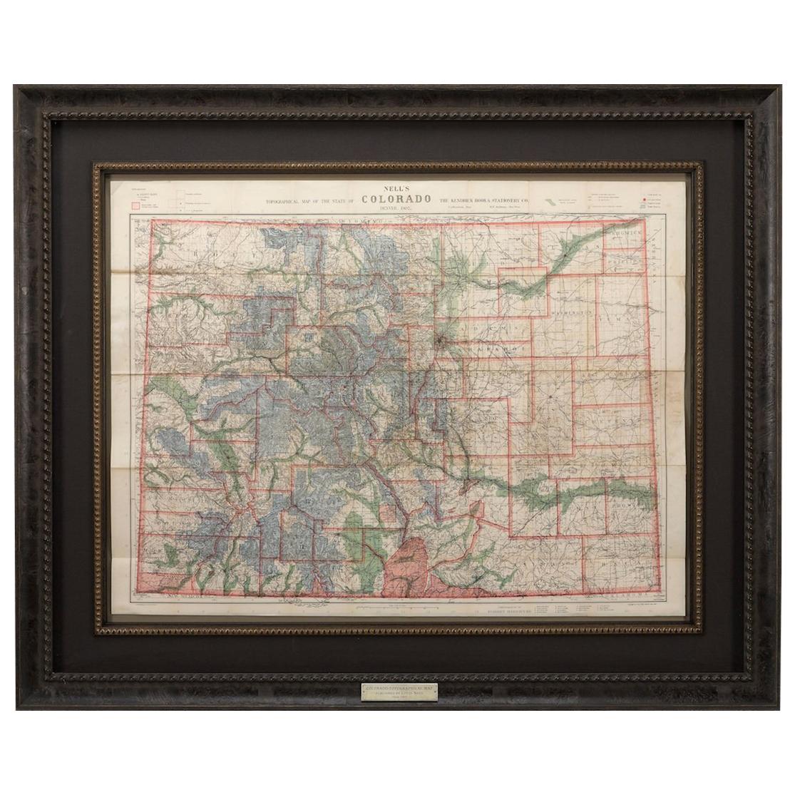
- 1907 Map of Colorado, Antique Topographical Map, by Louis NellLocated in Colorado Springs, COThis highly detailed pocket map is a topographical map of the state of Colorado by Louis Nell from 1907. The map "has been complied from all availabl...Category
Antique Early 1900s American Maps
MaterialsPaper
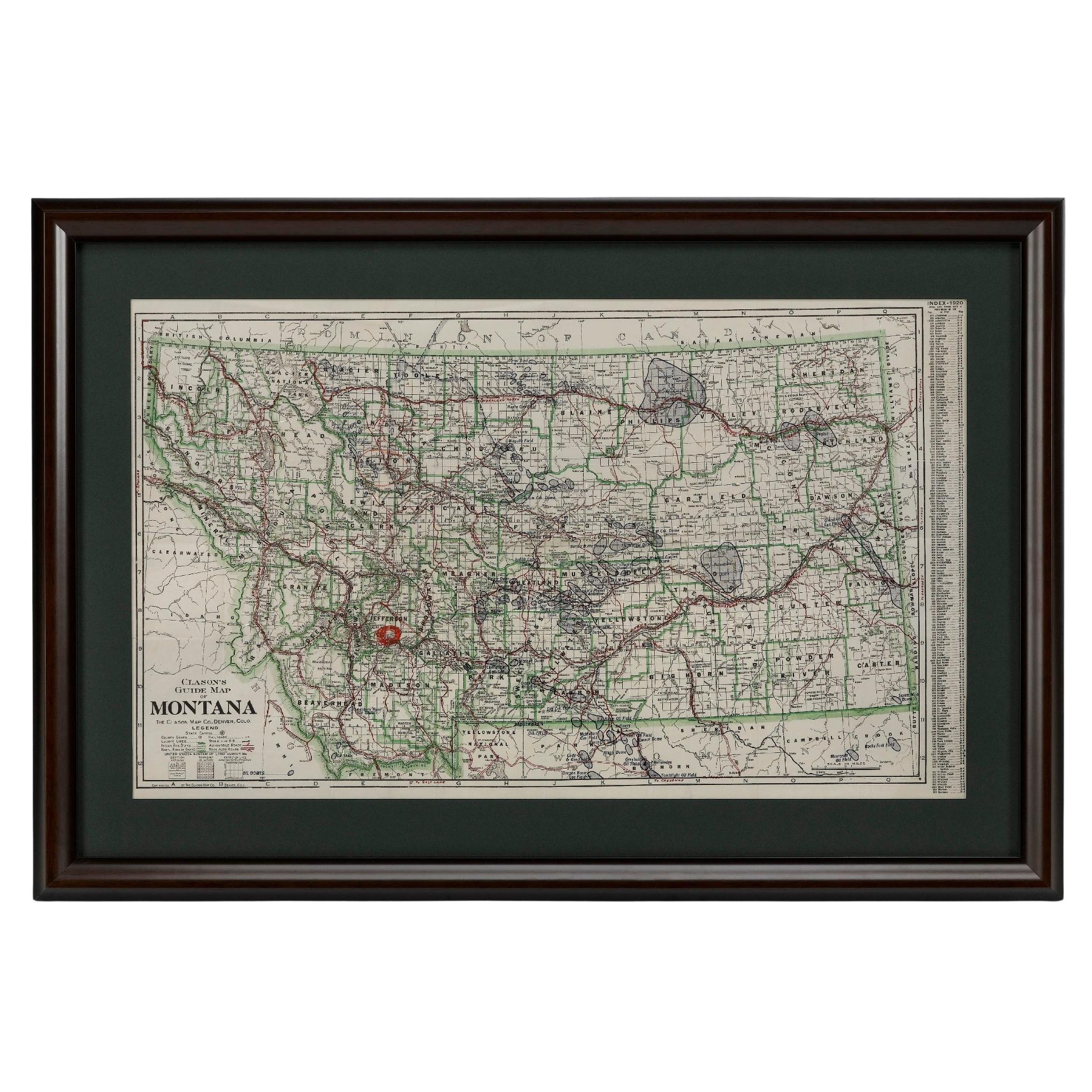
- "Clason's Guide Map of Montana" by The Clason Map Company, Circa 1920sLocated in Colorado Springs, COPresented is “Clason's Guide Map of Montana,” published in the early 1920s by the Clason Map Company. Issued as a folding map, this map identifies county boundaries, county seats, Na...Category
Vintage 1920s American Art Deco Maps
MaterialsPaper
- 1861 Topographical Map of the District of Columbia, by Boschke, Antique MapLocated in Colorado Springs, COPresented is an original map of Albert Boschke's extremely sought-after "Topographical Map of the District of Columbia Surveyed in the Years 1856 ...Category
Antique 1860s American Historical Memorabilia
MaterialsPaper
- 1865 "Johnson's Nebraska, Dakota, Colorado, Idaho & Kansas" Map, Johnson & WardLocated in Colorado Springs, COPresented is an original 1865 "Johnson's Nebraska, Dakota, Colorado, Idaho & Kansas” map. This map was issued as page 63 in the 1865 edition of “Johnson's N...Category
Antique Mid-19th Century Maps
MaterialsPaper
- 1865 "Johnson's California, Utah, Nevada, Colorado, New Mexico, Arizona" MapLocated in Colorado Springs, COPresented is an original 1865 "Johnson's California, with Territories of Utah, Nevada, Colorado, New Mexico, and Arizona” map. First published in 1864, thi...Category
Antique Mid-19th Century Maps
MaterialsPaper
- 1864 Map of North America, Antique Hand-Colored Map, by Adolphe Hippolyte DufourLocated in Colorado Springs, COOffered is a map of North America entitled Amerique du Nord from 1864. This rare, separately published wall map was produced by Adolphe Hippolyte Dufour. This map includes vibrant an...Category
Antique 1860s French Maps
MaterialsPaper


You May Also Like
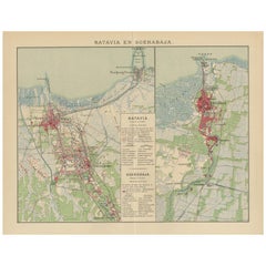
- Antique Map of Batavia and Surabaya by Winkler Prins, 1905Located in Langweer, NLAntique map titled 'Batavia en Soerabaja'. Detailed plan of Batavia (Jakarta) and Soerabaja (Surabaya), Indonesia. The plans include important places like Tandjoeng Priok, Oedjong, W...Category
20th Century Maps
MaterialsPaper
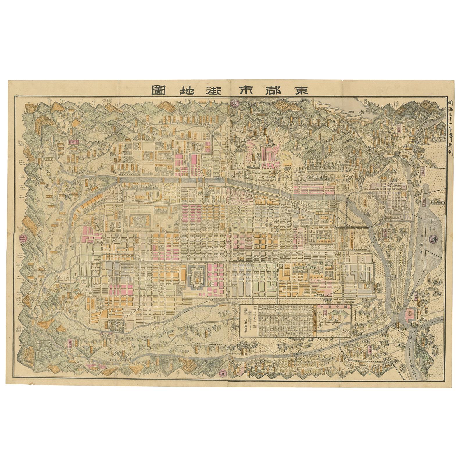
- Large Antique Map of Kyoto in Japan by Kobayashi, '1905'Located in Langweer, NLOld map of Kyoto, Japan. Published by Kobayashi, 1905.Category
Early 20th Century Maps
MaterialsPaper
 $1,234 Sale Price34% Off
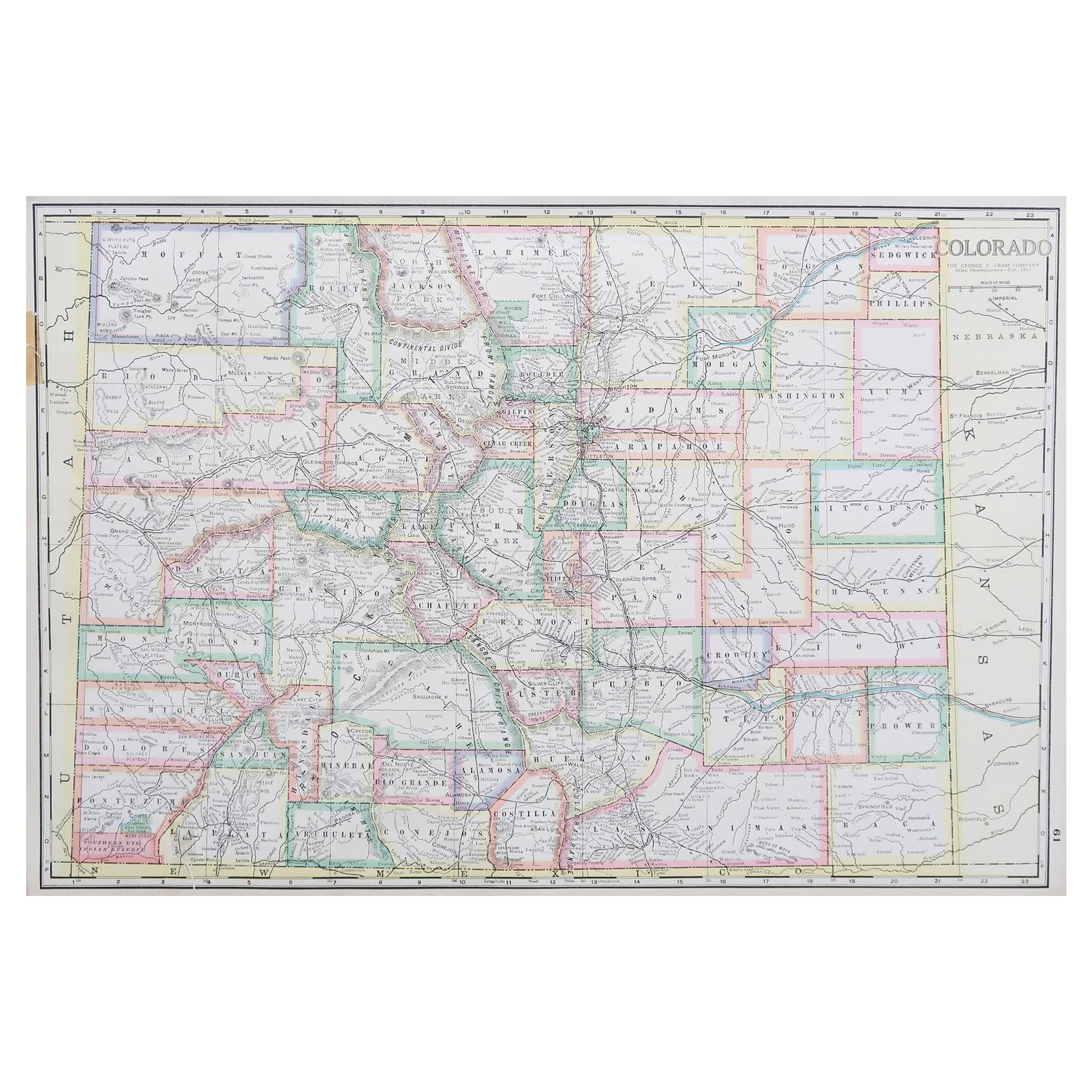
 - Large Original Antique Map of Colorado, USA circa 1900Located in St Annes, LancashireFabulous map of Colorado Original color Engraved and printed by the George F. Cram Company, Indianapolis. Published, circa 1900 Unframed Old repairs to short trears on left and ...Category
Antique 1890s American Maps
MaterialsPaper
- Antique Map of California, Utah, Nevada, Colorado, New Mexico & Arizona '1872'Located in Langweer, NLAntique map titled 'Johnson's California (..)'. Original map of California, Utah, Nevada, Colorado, New Mexico and Arizona. This map originates from ...Category
Antique Late 19th Century Maps
MaterialsPaper
 $217 Sale Price20% Off
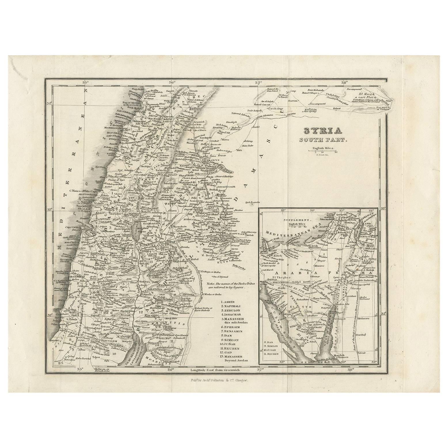
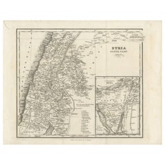
 - Antique Map of Southern Syria by Fullarton & Co, circa 1860Located in Langweer, NLAntique map titled 'Syria south part'. Published by Fullarton & Co, Glasgow, circa 1860. - **Title**: Syria South Part - **Publisher**: Fullarton & Co, Glasgow - **Date of Publicati...Category
Antique Mid-19th Century Maps
MaterialsPaper
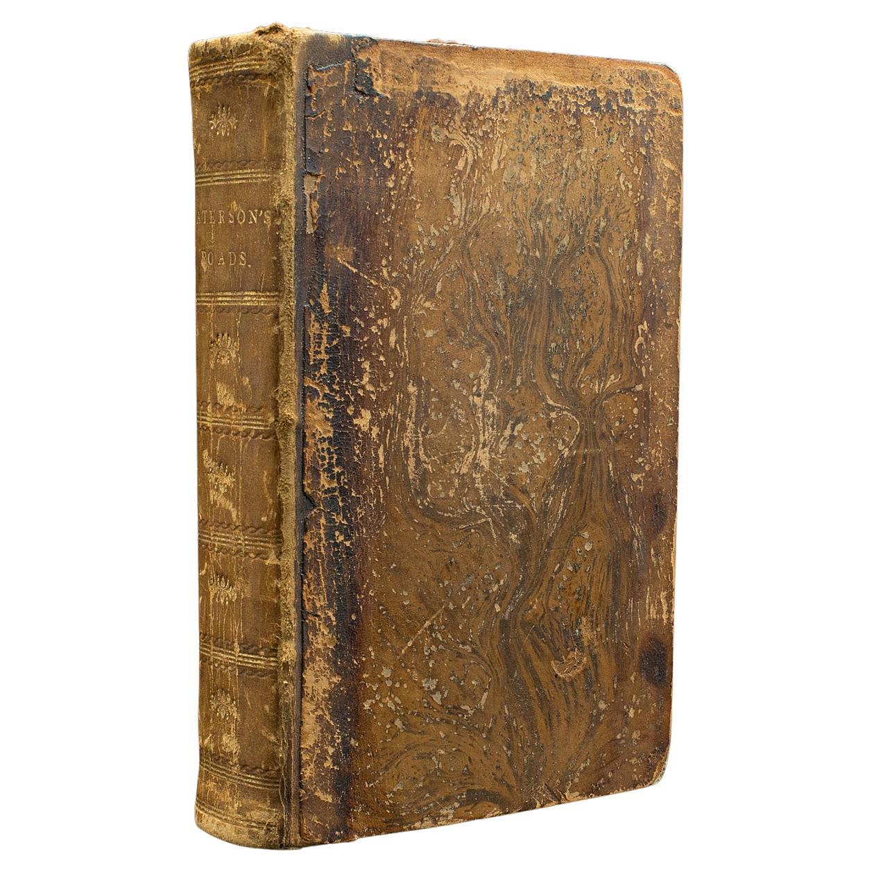
- Antique Paterson's Guide to Britain, English, Maps, Georgian, Published 1811Located in Hele, Devon, GBThis is an antique copy of Paterson's New and Accurate guide to Direct & Principal Crossroads. An English, bound book of maps and descriptive tables, published in English by Longman,...Category
Antique Early 19th Century British Georgian Books
MaterialsPaper

Recently Viewed
View AllMore Ways To Browse
Pocket Map
Antique Church Bell
Antique Hotel Key
Antique Hotel Keys
Furniture Denver Co
Denver Antique
Used Furniture Denver Co
Hotel Bell
Antique Furniture Denver
Antique Dairy
George And Co Jewelers
Antique Colorado Map
Antique Maps Colorado
Map Of Colorado
Map Colorado
Antique Map Of Colorado
Antique Dairy Collectibles
Antique Hotel Bell