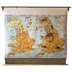
1967 School Map of England
View Similar Items


Want more images or videos?
Request additional images or videos from the seller
1 of 7
1967 School Map of England
About the Item
- Dimensions:Height: 48 in (121.92 cm)Width: 3 in (7.62 cm)Depth: 3.5 in (8.89 cm)
- Materials and Techniques:
- Period:
- Date of Manufacture:1967
- Condition:Wear consistent with age and use. D1 W48 H38 are measurements of map unrolled.
- Seller Location:Tarrytown, NY
- Reference Number:1stDibs: LU1078218502012
About the Seller
4.9
Vetted Seller
These experienced sellers undergo a comprehensive evaluation by our team of in-house experts.
Established in 1993
1stDibs seller since 2014
1,583 sales on 1stDibs
Typical response time: 1 hour
More From This SellerView All
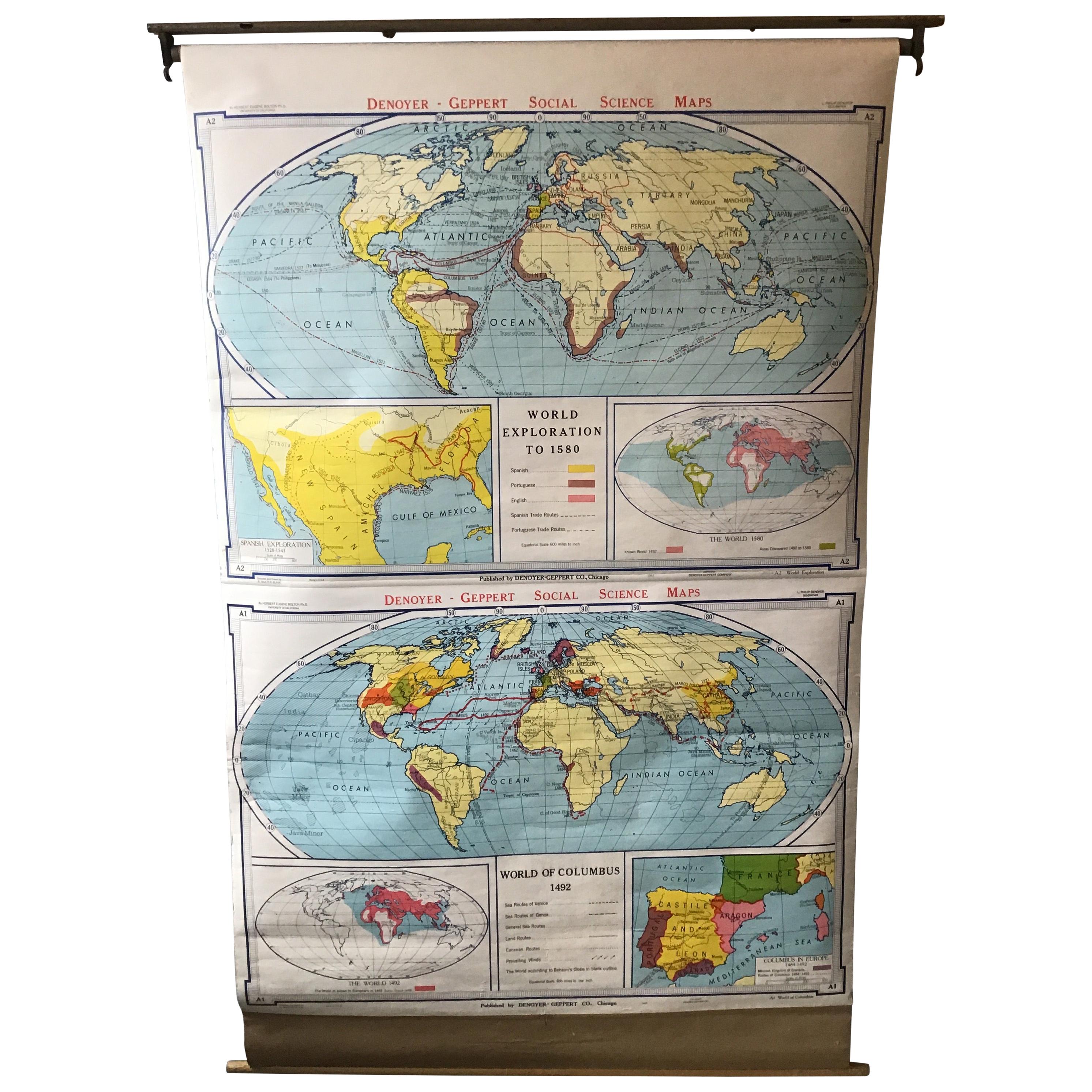
- 1967 World Exploration School MapLocated in Tarrytown, NYPull down world exploration map from 1967.Category
Vintage 1960s Maps
MaterialsPaper
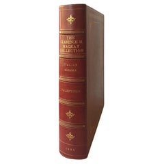
- The Clarance H. Mackay Collection, Italian Schools, by William R. ValentinerLocated in Tarrytown, NY56 Photogravure plates. Privately printed in 1926 by Witherspoon & Co. Cover bound in Moroccan crimson leather with gilt flower motifs. Privately printed catalogue limited to 100 nu...Category
Vintage 1920s Books
MaterialsPaper
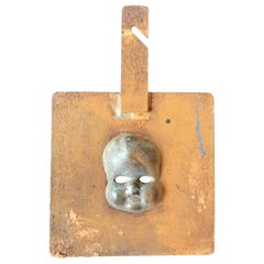
- 1940s Doll Mold of a Baby FaceLocated in Tarrytown, NY1940s Toy mold of a baby doll face.Category
Vintage 1940s Toys and Dolls
MaterialsIron
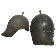
- Pair of 1930s Reproduction Ancient Roman Soldiers HelmetsLocated in Tarrytown, NYPair of 1930s metal reproduction ancient Roman soldiers helmets.Category
Vintage 1930s Arms, Armor and Weapons
MaterialsMetal
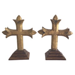
- Pair of 1880s Carved Gilt Crosses On A Wood Step BaseLocated in Tarrytown, NYPair of 1880s Carved Gilt Crosses On A Wood Step Base Loss of gilt on crosses PRICE PER ITEM (each)Category
Antique Late 19th Century Religious Items
MaterialsWood
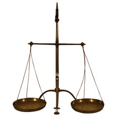
- 19century English Balancing ScaleBy G. NoneLocated in Tarrytown, NY19century English balancing scale.Category
Antique 19th Century European Industrial Scientific Instruments
MaterialsIron
You May Also Like
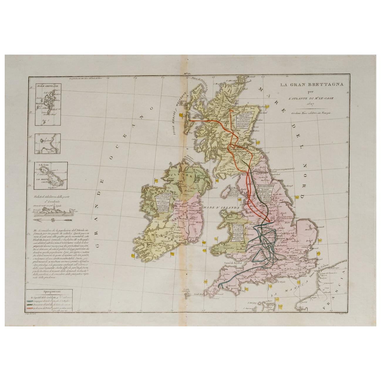
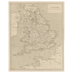
- Old Horizontal Map of EnglandBy TassoLocated in Alessandria, PiemonteST/520 - Old rare Italian map of England, dated 1826-1827 - by Girolamo Tasso, editor in Venise, for the atlas of M.r Le-Sage.Category
Antique Early 19th Century Italian Other Prints
MaterialsPaper
 $235 Sale Price20% Off
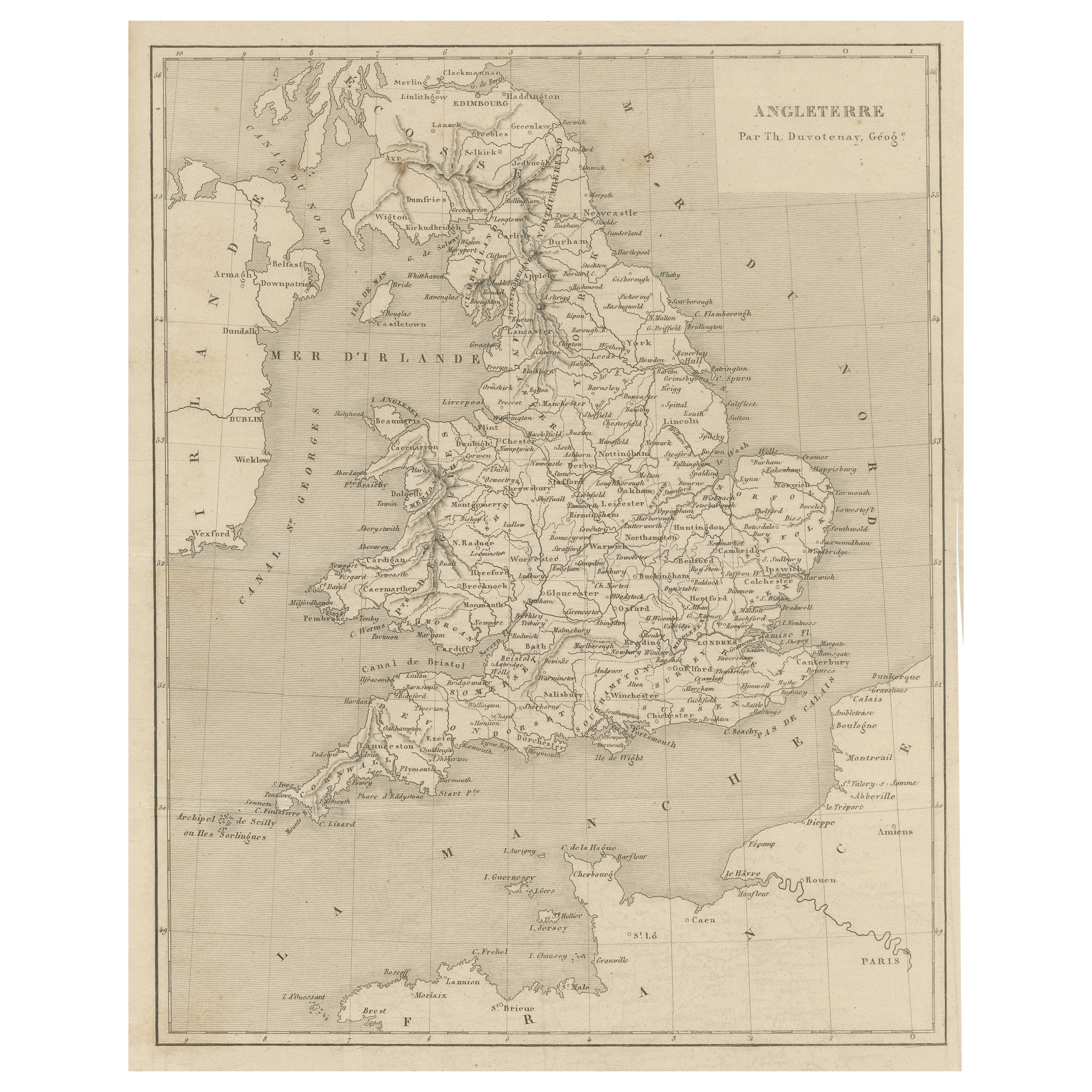
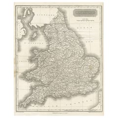
 - Steel Engraved Antique Map of EnglandLocated in Langweer, NLAntique map titled 'Angleterre'. Original antique map of England. Engraved by Th. Duvotenay. Originates from 'Complement de L'Encyclopedie Mode...Category
Antique Late 19th Century Maps
MaterialsPaper
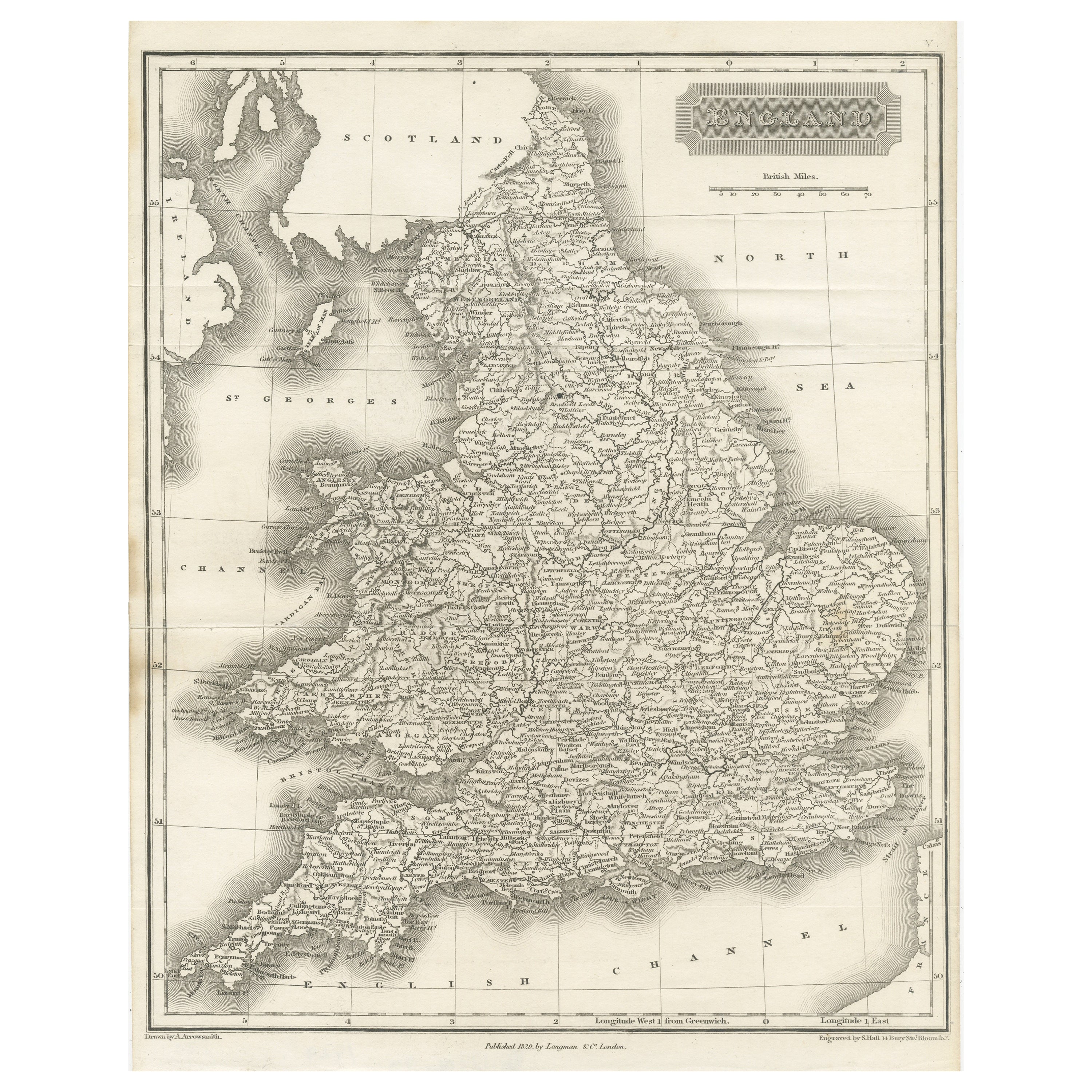
- Small Steel Engraved Map of EnglandLocated in Langweer, NLAntique map titled 'England'. Original steel engraved map of England. Drawn by A. Arrowsmith, engraved by S. Hall. Published 1829 by Longman & Co, London.Category
Antique Mid-19th Century Maps
MaterialsPaper
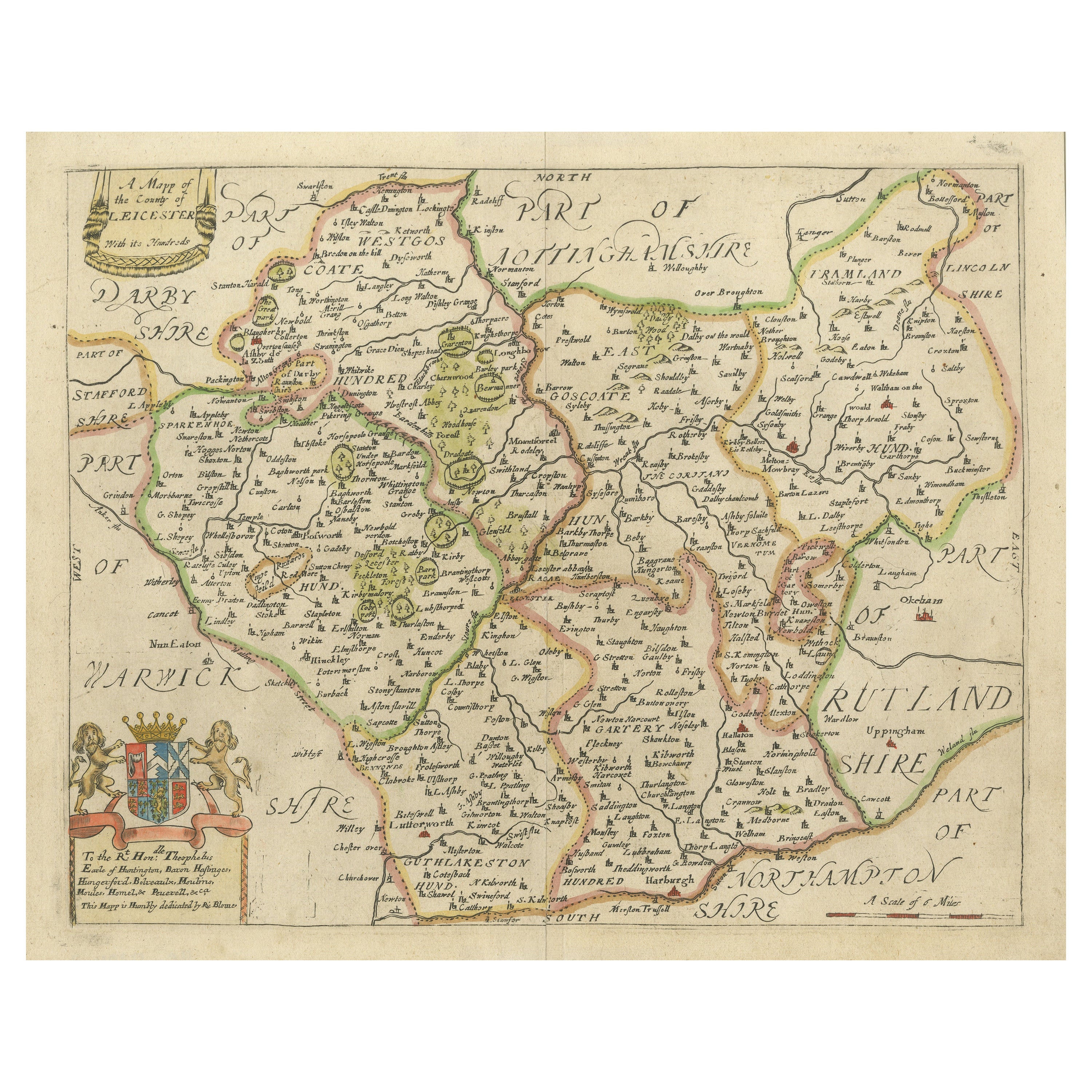
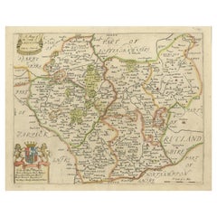
- Original Antique Map of Leicestershire, EnglandLocated in Langweer, NLAntique map titled 'A Mapp of the Country of Leicester'. Original old map of Leicestershire, England. This map originates from 'Britannia: or, a Geographical Description of the Kingd...Category
Antique Late 17th Century Maps
MaterialsPaper
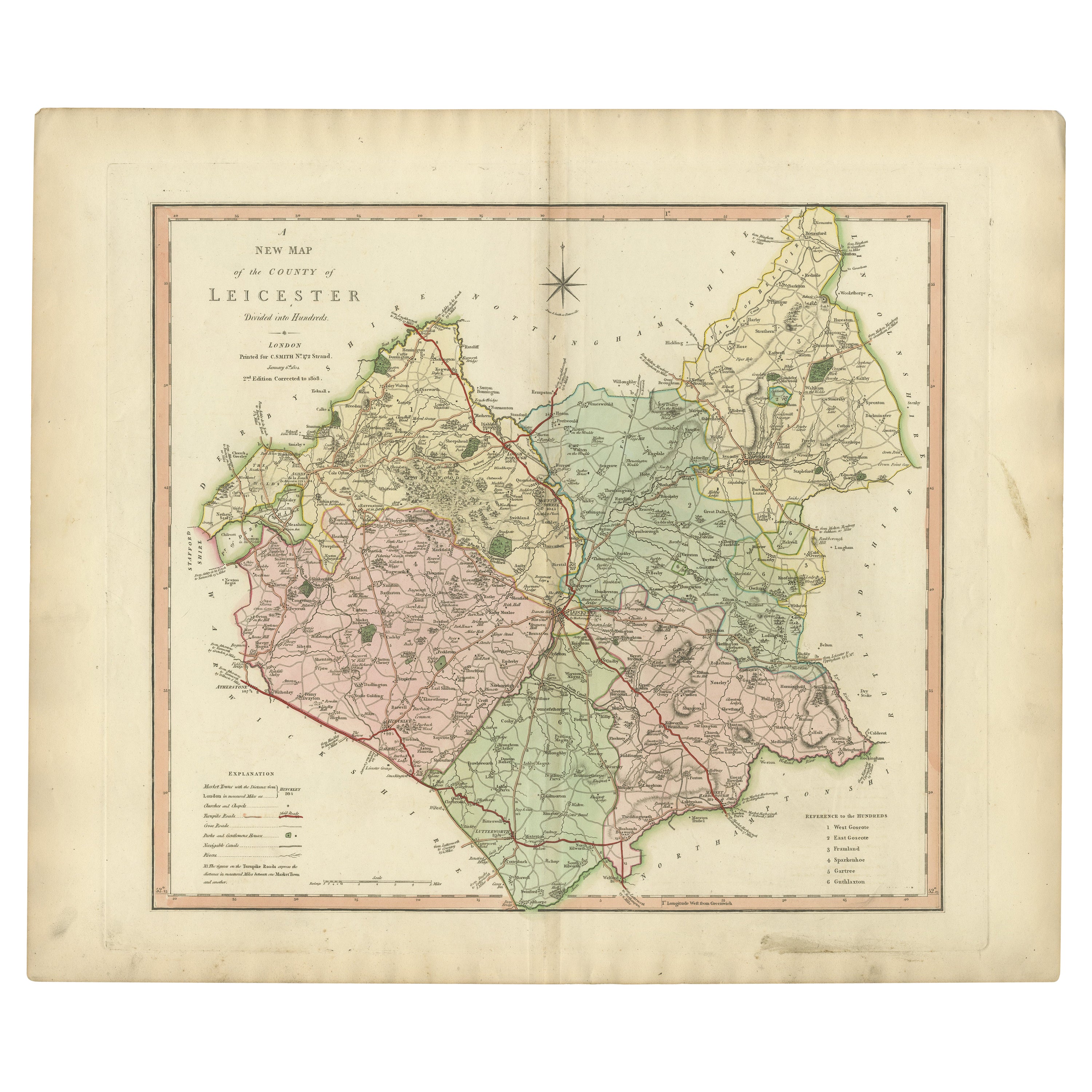
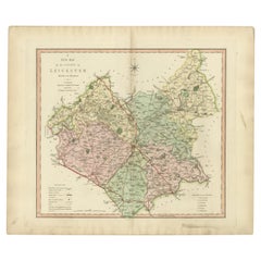
- Antique County Map of Leicestershire, England, 1804Located in Langweer, NLAntique county map of Leicestershire first published c.1800. Villages, towns, and cities illustrated include Lutterworth, Ashby, Hinkley, and Marke...Category
Antique Early 1800s Maps
MaterialsPaper
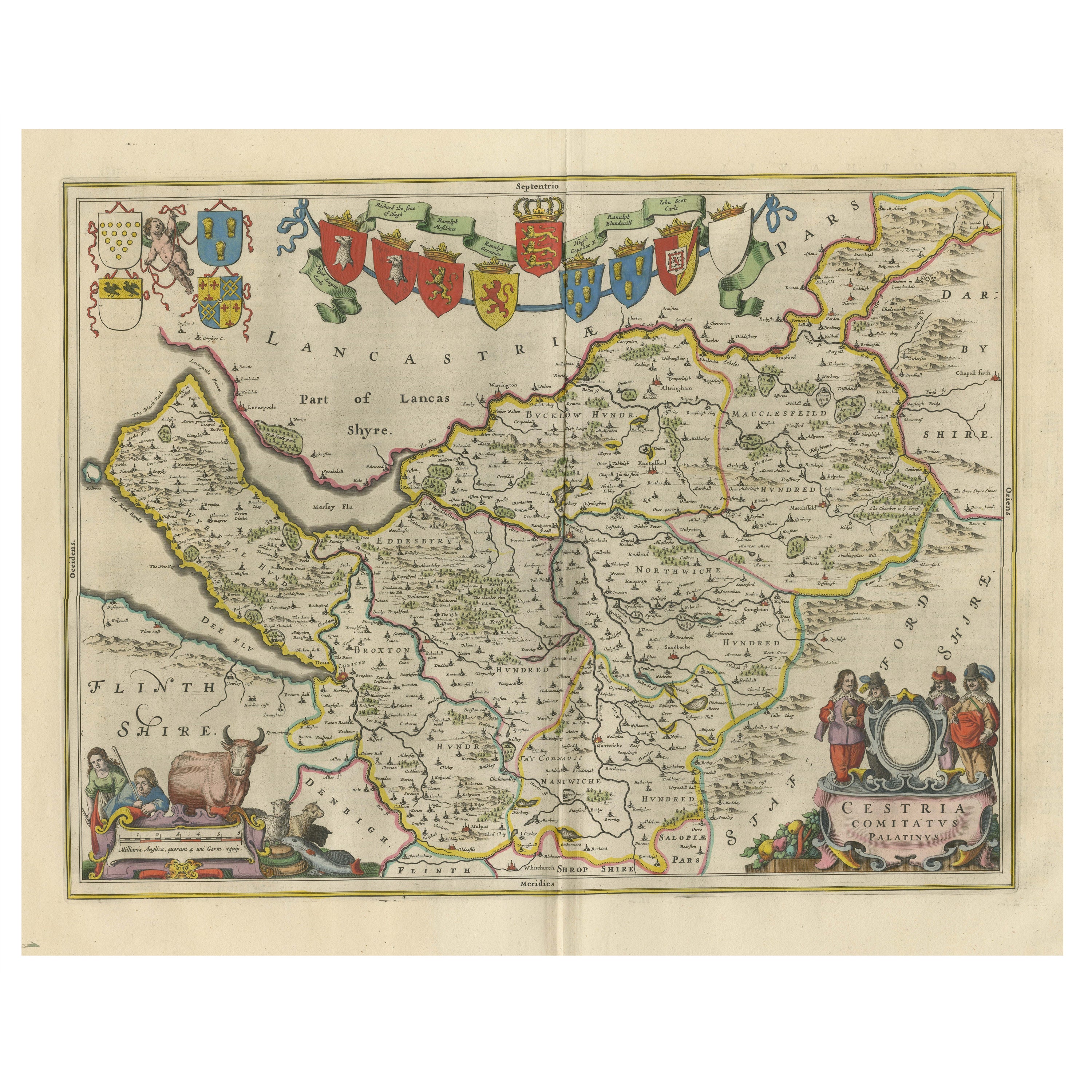
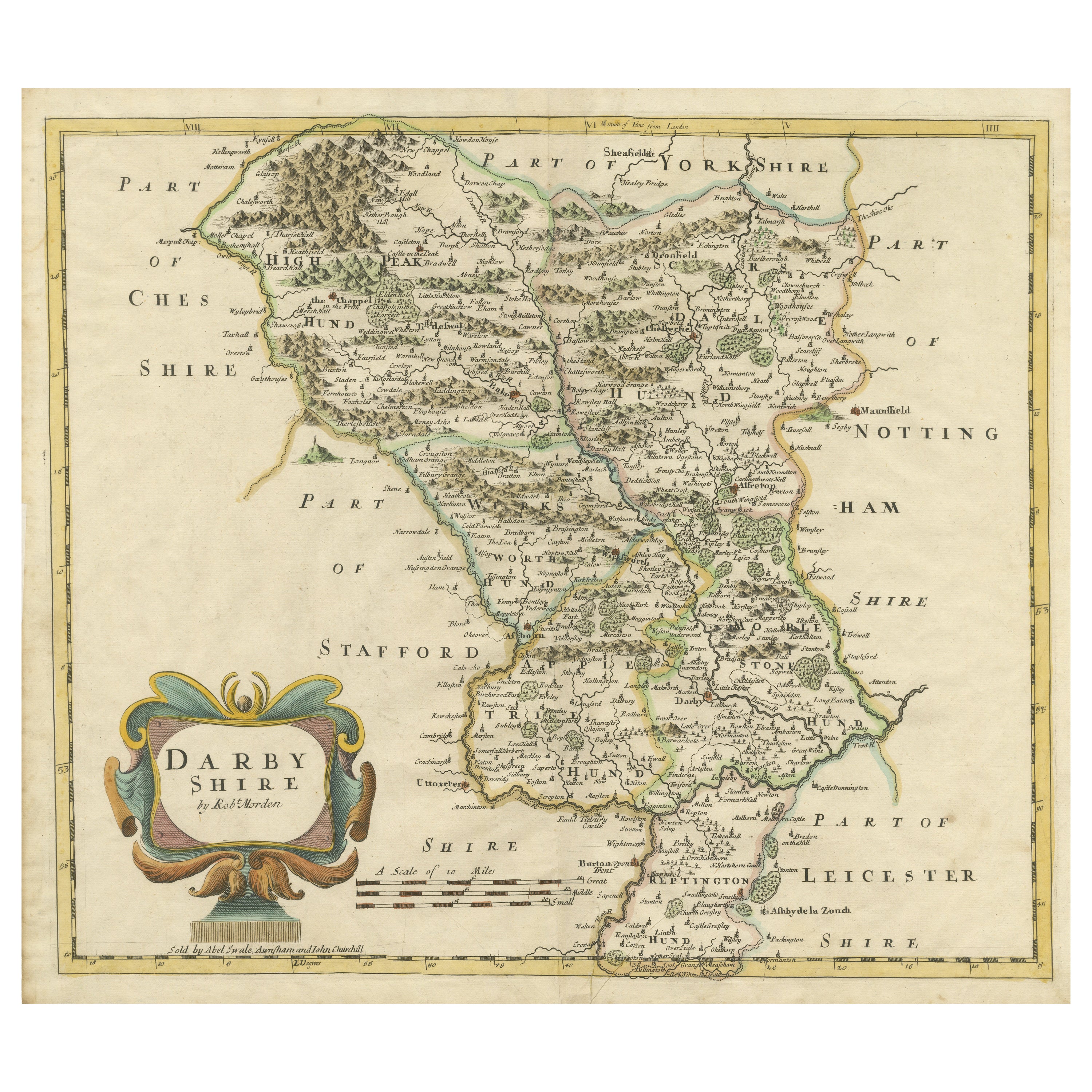
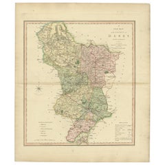
- Antique County Map of Derbyshire, England, 1804Located in Langweer, NLAntique county map of Derbyshire first published, circa 1800. Villages, towns, and cities illustrated include Chesterfield, Wirksworth, Derby, and ...Category
Antique Early 1800s Maps
MaterialsPaper
Recently Viewed
View AllMore Ways To Browse
Pull Down Maps
Pull Down Map
Retro Pull Down Maps
Pull Down School Maps
Pull Down School Map Vintage
Russian Collectable
Office World Map
Sea Collectables
Antique Curiosities Prints
Antique Appreciation
United States Map
Antique Collectible Plate
Prints Of Antique Maps
Antique Over A Hundred Years Old
Antique Furniture Plans
Antique Rare Maps
Rare Antique Maps
Original Antique World Map