Items Similar to Antique Map of the Antilles by Meyer, 1878


Want more images or videos?
Request additional images or videos from the seller
1 of 5
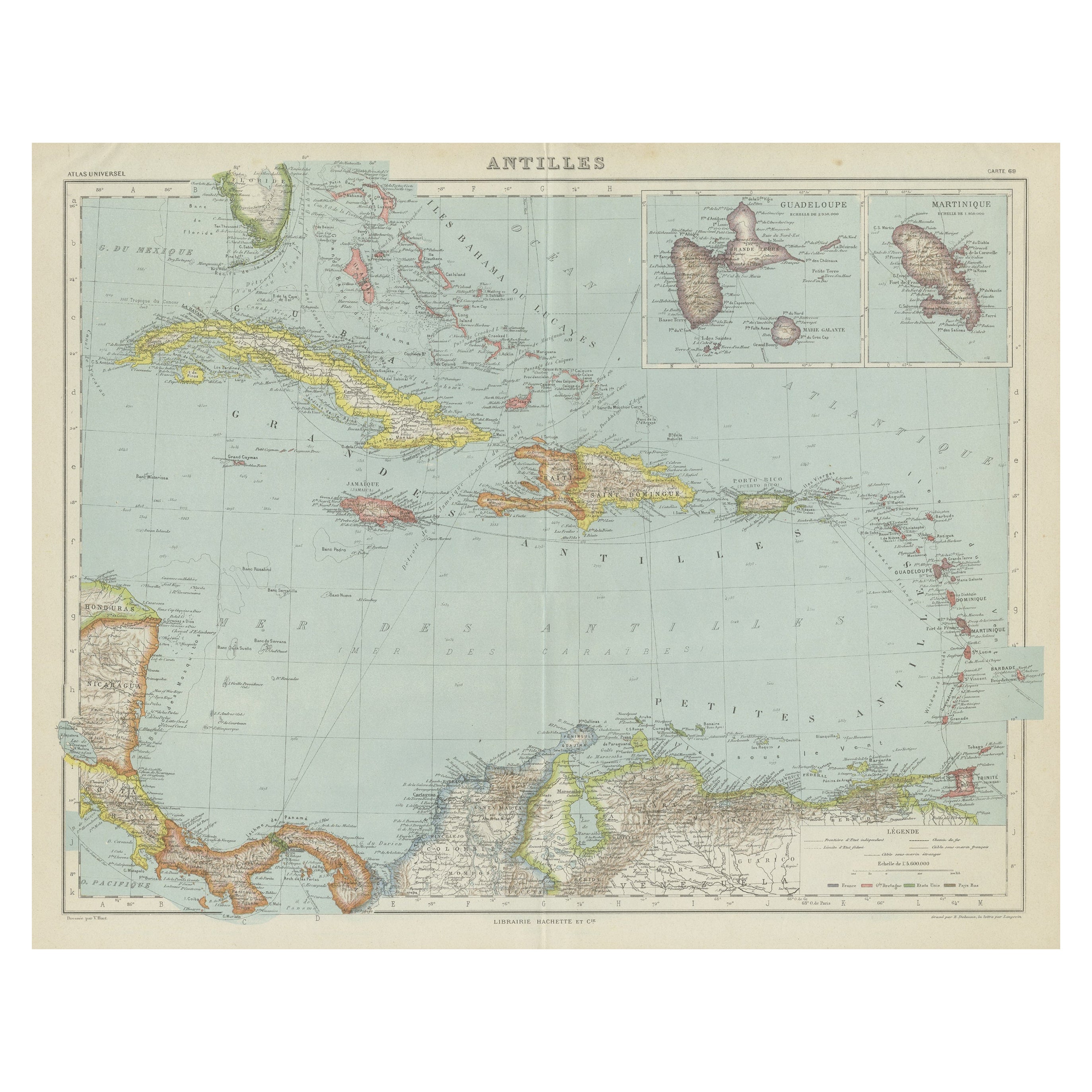
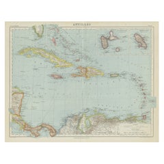
Antique Map of the Antilles by Meyer, 1878
About the Item
Antique map titled 'Die Antillen'. Old map of the Antilles, it shows Jamaica, Puerto Rico, the Bahamas and Cuba. With inset maps of the Lesser Antilles and Havana. This map originates from Meyer's 'Konversations-Lexikon'.
Artists and Engravers: Meyers Konversations-Lexikon or Meyers Lexikon was a major encyclopedia in the German language that existed in various editions, and by several titles, from 1839 to 1984, when it merged with the Brockhaus Enzyklopädie. Joseph Meyer (1796–1856), who had founded the publishing house Bibliographisches Institut in 1826, intended to issue a universal encyclopaedia meant for a broad public: people having a general knowledge as well as businessmen, technicians and scholars, considering contemporary works like those of Pierer and Brockhaus to be superficial or obsolete.
Condition: Fair, general age-related toning. Defect on folding line, please study image carefully.
Date: 1878
Overall size: 28 x 24 cm.
Image size: 0.001 x 27 x 20 cm.
- Dimensions:Height: 9.45 in (24 cm)Width: 11.03 in (28 cm)Depth: 0 in (0.01 mm)
- Materials and Techniques:
- Period:
- Date of Manufacture:1878
- Condition:
- Seller Location:Langweer, NL
- Reference Number:
About the Seller
5.0
Platinum Seller
These expertly vetted sellers are 1stDibs' most experienced sellers and are rated highest by our customers.
Established in 2009
1stDibs seller since 2017
1,914 sales on 1stDibs
Typical response time: <1 hour
- ShippingRetrieving quote...Ships From: Langweer, Netherlands
- Return PolicyA return for this item may be initiated within 14 days of delivery.
More From This SellerView All
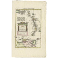
- Antique Map of the Antilles by Lapie, '1842'Located in Langweer, NLAntique map titled 'Carte des Antilles du Golfe du Méxique'. Map of the Antilles. This map originates from 'Atlas universel de géographie ancienne et moderne (..)' by Pierre M. Lapie...Category
Antique Mid-19th Century Maps
MaterialsPaper
- Antique Map of the Antilles in the Caribbean, '1875'Located in Langweer, NLAntique map titled 'Carte des Iles Antilles'. Large map of the Antilles. This map originates from 'Atlas de Géographie Moderne Physique et Politique' by A. Levasseur. Published, 1875.Category
Antique Late 19th Century Maps
MaterialsPaper
- Vintage Map of the Greater Antilles and Lesser AntillesLocated in Langweer, NLVintage map titled 'Antilles'. Original map of the Antilles. Shows the Cayman Islands, Cuba, Hispaniola (subdivided into the nations of the Dominican Republic and Haiti), Jamaica, and Puerto Rico. Also shows the Lesser Antilles...Category
20th Century Maps
MaterialsPaper
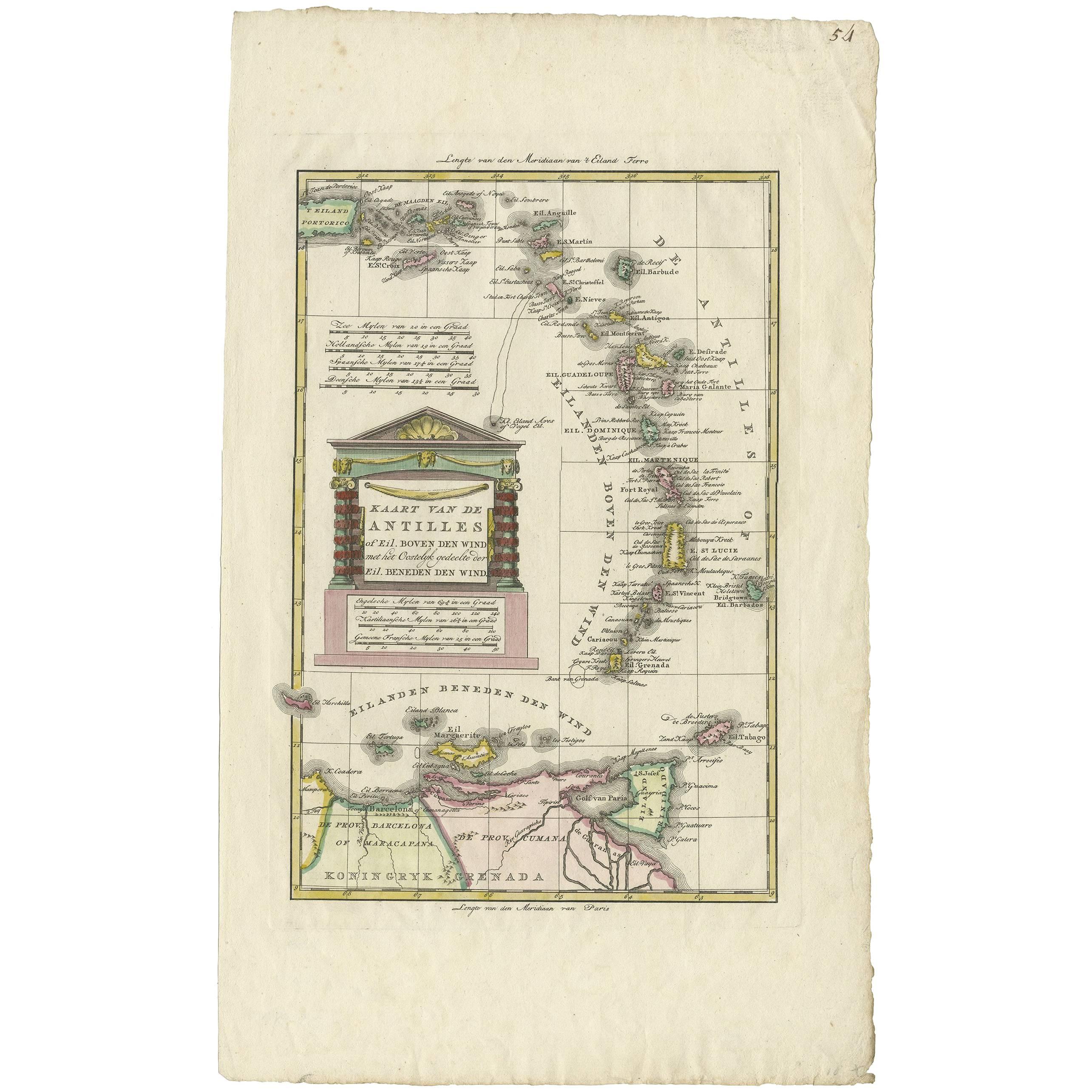
- Antique Map of the Dutch Antilles 'Caribbean' by R. Bonne, circa 1780Located in Langweer, NLAntique map titled 'Kaart van de Antilles (..)'. Rare edition of this map illustrating the Dutch Antilles (Caribbean). Published by R. Bonne, circa 1780. T...Category
Antique Late 18th Century Maps
MaterialsPaper
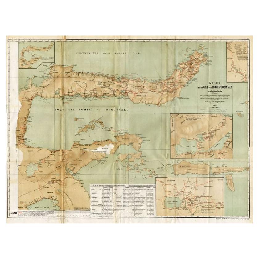
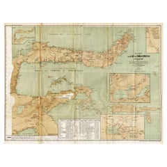
- Antique Map of the Gulf of Tomini by Winkler Prins, 1878Located in Langweer, NLAntique map titled 'Kaart van de Golf van Tomini of Gorontalo.' (Map of the Gulf of Tomini or Gorontalo.) This map shows the Gulf of Tomini near the Island of Sulawesi, Indonesia. Wi...Category
Antique 19th Century Maps
MaterialsPaper
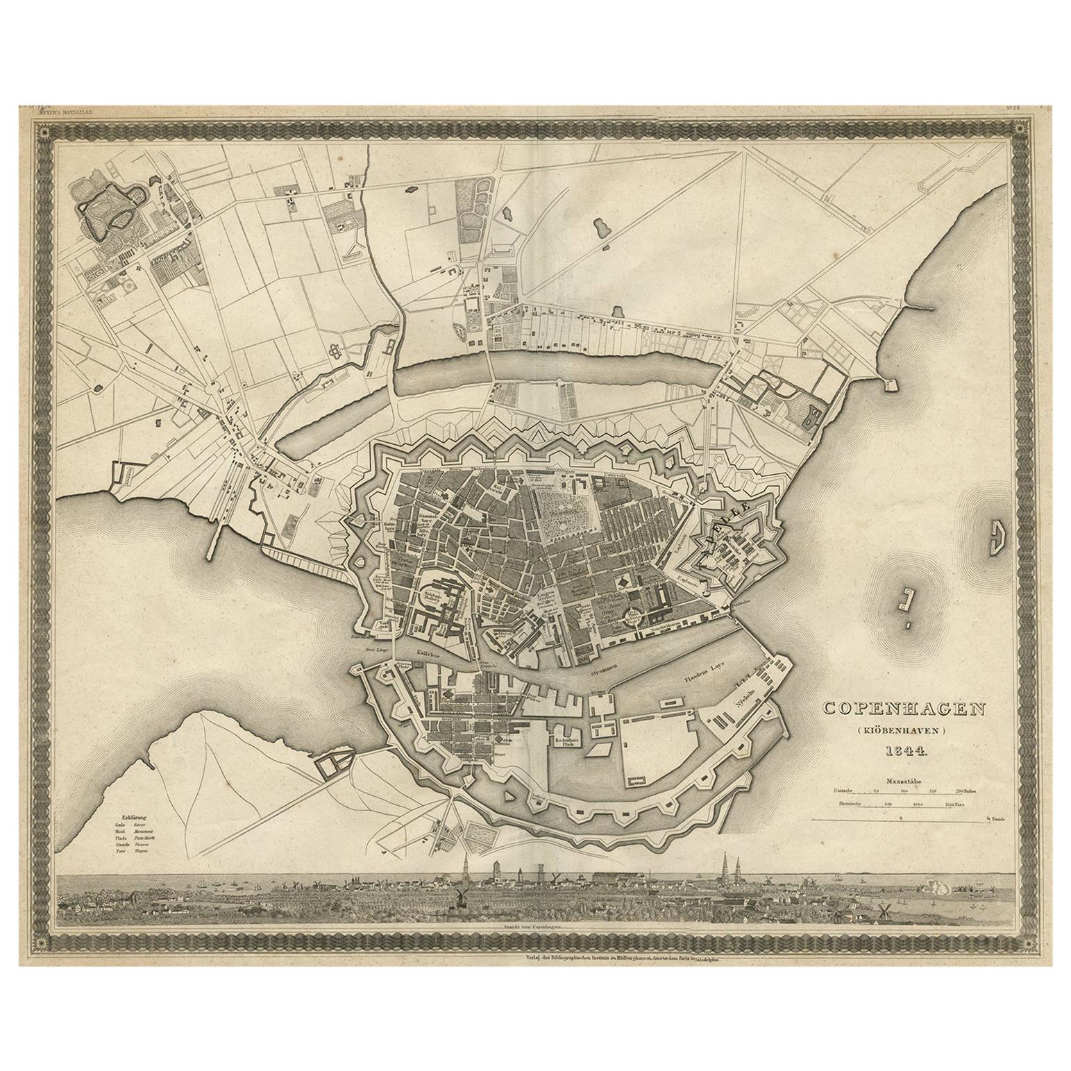
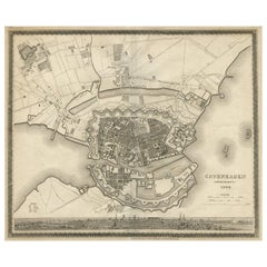
- Antique Map of the City of Copenhagen ‘Denmark’ by J. Meyer, 1844Located in Langweer, NLAntique map titled 'Copenhagen (Kiöbenhaven)'. With city view and German explanation. Originates from Meyer's Handatlas.Category
Antique Mid-19th Century Maps
MaterialsPaper


You May Also Like
- 1861 Topographical Map of the District of Columbia, by Boschke, Antique MapLocated in Colorado Springs, COPresented is an original map of Albert Boschke's extremely sought-after "Topographical Map of the District of Columbia Surveyed in the Years 1856 ...Category
Antique 1860s American Historical Memorabilia
MaterialsPaper
- 1849 Map of "Europaische Russland", 'Meyer Map of European Russia', Ric. R017Located in Norton, MA1849 Map of "Europaische Russland" ( Meyer Map of European Russia) Ric.r017 A lovely map of European Russia dating to 1849 by Joseph Meyer. It covers the European portions of...Category
Antique 19th Century Unknown Maps
MaterialsPaper
- Original Antique Map of The World by Thomas Clerk, 1817Located in St Annes, LancashireGreat map of The Eastern and Western Hemispheres On 2 sheets Copper-plate engraving Drawn and engraved by Thomas Clerk, Edinburgh. Published by Mackenzie And Dent, 1817 ...Category
Antique 1810s English Maps
MaterialsPaper
- 1907 Map of Colorado, Antique Topographical Map, by Louis NellLocated in Colorado Springs, COThis highly detailed pocket map is a topographical map of the state of Colorado by Louis Nell from 1907. The map "has been complied from all availabl...Category
Antique Early 1900s American Maps
MaterialsPaper
- Original Antique Map of the American State of Pennsylvania, 1889Located in St Annes, LancashireGreat map of Pennsylvania Drawn and Engraved by W. & A.K. Johnston Published By A & C Black, Edinburgh. Original colour Unframed. Repair to a minor tear on bottom edge.Category
Antique 1880s Scottish Victorian Maps
MaterialsPaper
- Original Antique Map of the American State of Nevada, 1889Located in St Annes, LancashireGreat map of Nevada Drawn and Engraved by W. & A.K. Johnston Published By A & C Black, Edinburgh. Original colour Unframed.Category
Antique 1880s Scottish Victorian Maps
MaterialsPaper


Recently Viewed
View AllMore Ways To Browse
Cuban Antiques
Antique Cuba
Used Furniture Jamaica
Antique Map Fair
Antique Encyclopedia
Obsolete Furniture
Antique Furniture Jamaica
Puerto Rico Furniture
Used Furniture Puerto Rico
Bahamas Furniture
Used Furniture Bahamas
Jamaican Antique
Dior Jamaica
Antique Puerto Rico
Jamaican Cuban
Map Of Jamaica
Antique Maps Of Cuba
Antique Cuba Map