
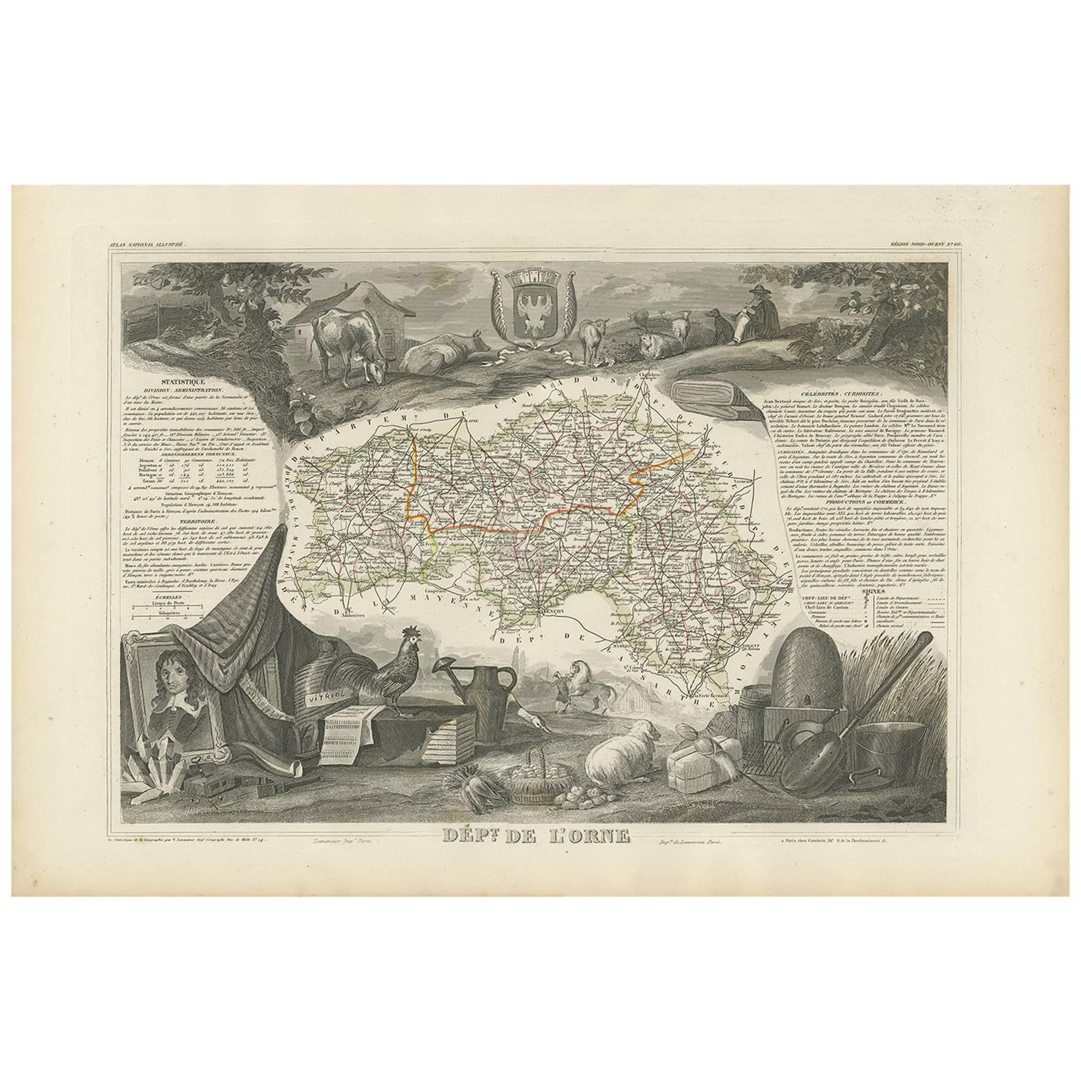
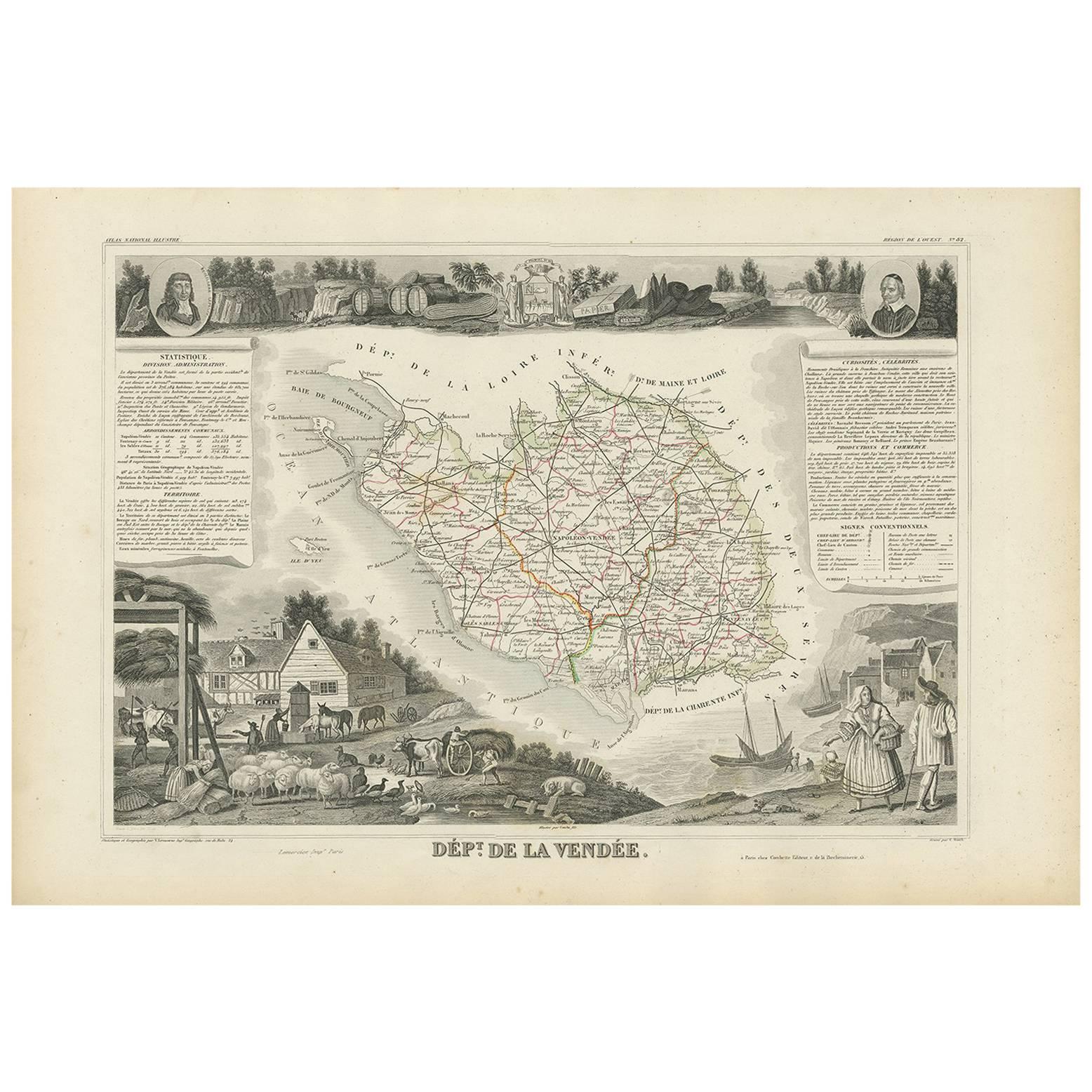
Antique Map of Charente ‘France’ by V. Levasseur, 1854
View Similar Items


Want more images or videos?
Request additional images or videos from the seller
1 of 5
Antique Map of Charente ‘France’ by V. Levasseur, 1854
About the Item
- Creator:Victor Levasseur (Artist)
- Dimensions:Height: 13.98 in (35.5 cm)Width: 20.67 in (52.5 cm)Depth: 0.02 in (0.5 mm)
- Materials and Techniques:
- Period:
- Date of Manufacture:1854
- Condition:General age-related toning. Please study image carefully.
- Seller Location:Langweer, NL
- Reference Number:Seller: BG-05614/411stDibs: LU3054310763761
About the Seller
5.0
Platinum Seller
These expertly vetted sellers are 1stDibs' most experienced sellers and are rated highest by our customers.
Established in 2009
1stDibs seller since 2017
1,914 sales on 1stDibs
More From This SellerView All
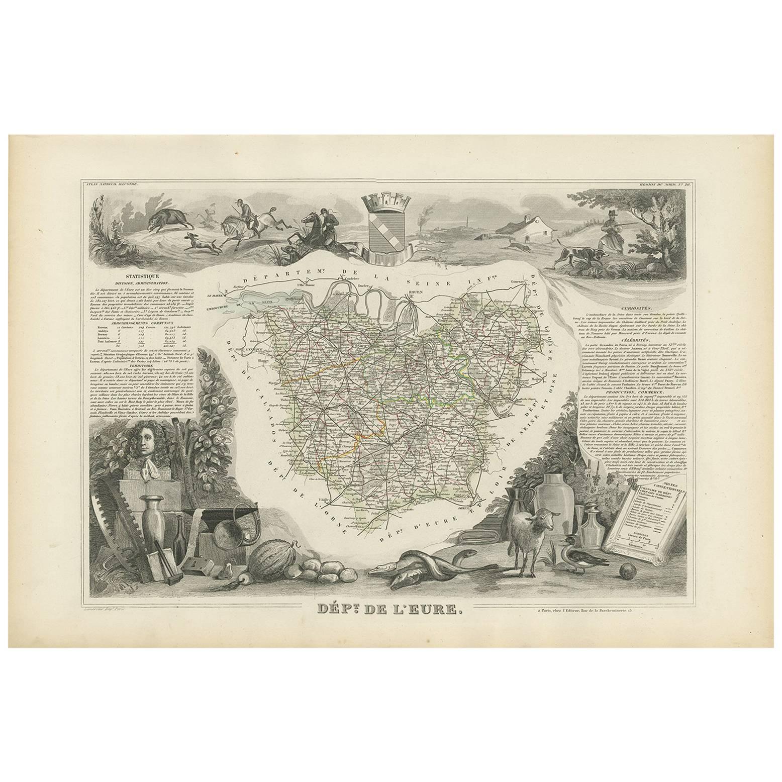
- Antique Map of Vosges ‘France’ by V. Levasseur, 1854By Victor LevasseurLocated in Langweer, NLAntique map titled 'Dépt. des Vosges'. Map of the Vosges region in France, centred on Epinal. This map originates from ‘Atlas National de la France Illustré’. Published by A. Combett...Category
Antique Mid-19th Century Maps
MaterialsPaper
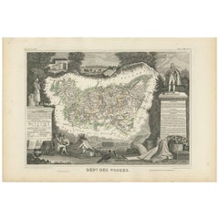 $131 Sale Price29% Off
 - Antique Map of Vienne 'France' by V. Levasseur, 1854By Victor LevasseurLocated in Langweer, NLAntique map titled 'Dépt. de la Vienne'. Decorative antique map of the French Department of Vienne, with its capital of Poitiers and small engraved vignette of the battle of Poitiers...Category
Antique Mid-19th Century Maps
MaterialsPaper
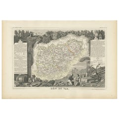
- Antique Map of Var 'France' by V. Levasseur, 1854By Victor LevasseurLocated in Langweer, NLAntique map titled 'Dépt. du Var'. Map of the French department of Var, the heart of the French Riviera or Côte d'Azur. Includes the resort cities of Cannes, Nice and San Tropez...Category
Antique Mid-19th Century Maps
MaterialsPaper
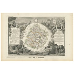
- Antique Map of Sarthe 'France' by V. Levasseur, 1854By Victor LevasseurLocated in Langweer, NLAntique map titled 'Dépt. de la Sarthe'. The north-west France Department of Sarthe is in the Pays de la Loire region of Le Mans, the location of the great endurance sports car road-...Category
Antique Mid-19th Century Maps
MaterialsPaper
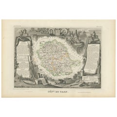
- Antique Map of Tarn 'France' by V. Levasseur, 1854By Victor LevasseurLocated in Langweer, NLAntique map titled 'Dépt. du Tarn'. Map of the French department of Tarn, France. This area produces a variety of traditional wines, including Cahors, Mauzac, Loin de l'Oeil and Onde...Category
Antique Mid-19th Century Maps
MaterialsPaper
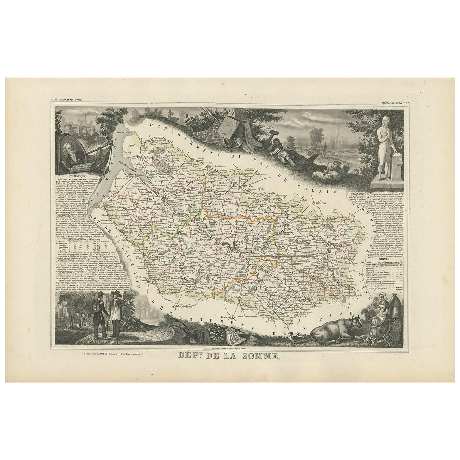
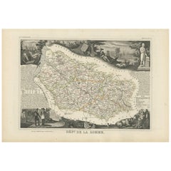
- Antique Map of Somme ‘France’ by V. Levasseur, 1854By Victor LevasseurLocated in Langweer, NLAntique map titled 'Dépt. de la Somme'. Map of the French department of Somme, France. This area is home to the region of Picardy, which produces Maroilles, a popular French cheese. ...Category
Antique Mid-19th Century Maps
MaterialsPaper

You May Also Like
- Original Antique Map of France, Arrowsmith, 1820Located in St Annes, LancashireGreat map of France Drawn under the direction of Arrowsmith. Copper-plate engraving. Published by Longman, Hurst, Rees, Orme and Brown, 1820 Unframed.Category
Antique 1820s English Maps
MaterialsPaper

- Antique Map of Italy by Andriveau-Goujon, 1843By Andriveau-GoujonLocated in New York, NYAntique Map of Italy by Andriveau-Goujon, 1843. Map of Italy in two parts by Andriveau-Goujon for the Library of Prince Carini at Palazzo Carini i...Category
Antique 1840s French Maps
MaterialsLinen, Paper
 $3,350 / set
 - Antique Map of Principality of MonacoBy Antonio Vallardi EditoreLocated in Alessandria, PiemonteST/619 - "Old Geographical Atlas of Italy - Topographic map of ex-Principality of Monaco" - ediz Vallardi - Milano - A somewhat special edition ---Category
Antique Late 19th Century Italian Other Prints
MaterialsPaper
 $227 Sale Price74% Off
 - Original Antique Map of Russia By Arrowsmith. 1820Located in St Annes, LancashireGreat map of Russia Drawn under the direction of Arrowsmith Copper-plate engraving Published by Longman, Hurst, Rees, Orme and Brown, 1820 Unframed.Category
Antique 1820s English Maps
MaterialsPaper

- Original Antique Map of France, Sherwood, Neely & Jones, Dated 1809Located in St Annes, LancashireGreat map of France Copper-plate engraving by Cooper Published by Sherwood, Neely & Jones. Dated 1809 Unframed.Category
Antique Early 1800s English Maps
MaterialsPaper
- Original Antique Map of China by Thomas Clerk, 1817Located in St Annes, LancashireGreat map of China Copper-plate engraving Drawn and engraved by Thomas Clerk, Edinburgh. Published by Mackenzie And Dent, 1817 Unframed.Category
Antique 1810s English Maps
MaterialsPaper


Recently Viewed
View AllMore Ways To Browse
Antique Wine Maps
Wine Region Map
Charente Map
Antique Atlas Map
Antique Prints Maps
Antique Maps Prints
Antique Map Prints
Antique Map Print
Antique Maps And Prints
Antique Prints And Maps
Map 19th Century
Antique Atlas Furniture
Antique Lined Paper
Map Of France
Large Map
Large Maps
Antique German Collectibles
Original World Map