Items Similar to Antique Map of the Coromandel Peninsula, 1754


Want more images or videos?
Request additional images or videos from the seller
1 of 5
Antique Map of the Coromandel Peninsula, 1754
About the Item
Antique map titled 'A map of Coromandel shewing the Seat of War on that coast'. Rare map of Coromandel printed for the London Magazine.
Artists and Engravers: This map is not attributed, so it may or may not be one of Kitchin's.
Condition: Good, general age-related toning. Please study image carefully.
Date: 1754
Overall size: 20 x 25.5 cm.
Image size: 16 x 23 cm.
We sell original antique maps to collectors, historians, educators and interior decorators all over the world. Our collection includes a wide range of authentic antique maps from the 16th to the 20th centuries. Buying and collecting antique maps is a tradition that goes back hundreds of years. Antique maps have proved a richly rewarding investment over the past decade, thanks to a growing appreciation of their unique historical appeal. Today the decorative qualities of antique maps are widely recognized by interior designers who appreciate their beauty and design flexibility. Depending on the individual map, presentation, and context, a rare or antique map can be modern, traditional, abstract, figurative, serious or whimsical. We offer a wide range of authentic antique maps for any budget.
- Dimensions:Height: 10.04 in (25.5 cm)Width: 7.88 in (20 cm)Depth: 0 in (0.01 mm)
- Materials and Techniques:
- Period:
- Date of Manufacture:1754
- Condition:
- Seller Location:Langweer, NL
- Reference Number:
About the Seller
5.0
Platinum Seller
These expertly vetted sellers are 1stDibs' most experienced sellers and are rated highest by our customers.
Established in 2009
1stDibs seller since 2017
1,913 sales on 1stDibs
Typical response time: <1 hour
- ShippingRetrieving quote...Ships From: Langweer, Netherlands
- Return PolicyA return for this item may be initiated within 14 days of delivery.
More From This SellerView All
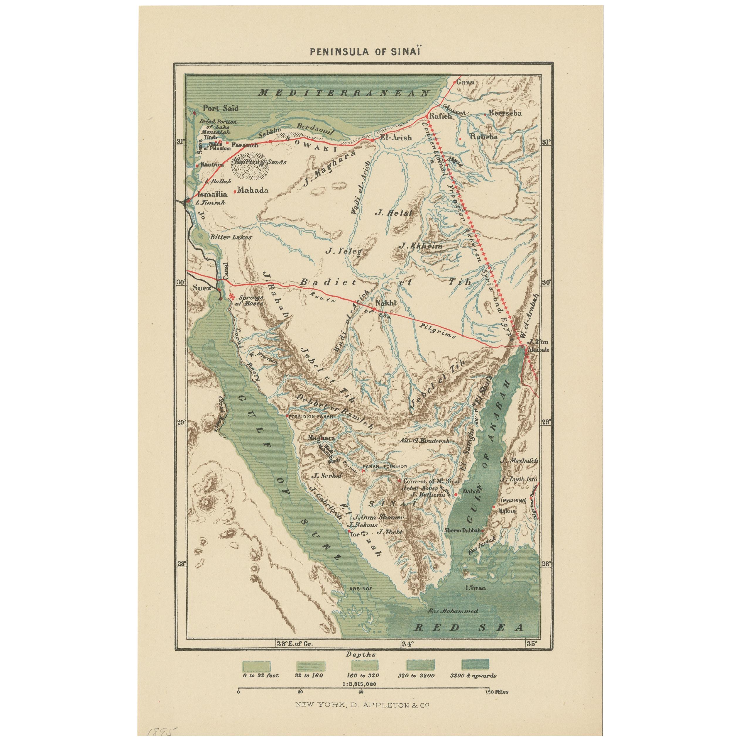
- Antique Map of the Sinai Peninsula, '1895'Located in Langweer, NLAntique map titled 'Peninsula of Sinaï'. Lithographed map of the Sinai Peninsula, a peninsula in Egypt, and the only part of the country located in Asia. It is situated between the M...Category
Antique Late 19th Century Maps
MaterialsPaper
- Antique Map of France with the English Channels, 1754Located in Langweer, NLAntique map France titled 'An Accurate Map of France drawn from the best authorities'. Small, detailed map of France. With decorative title cartouche. Ar...Category
Antique 18th Century Maps
MaterialsPaper
- Antique Map of the Arabian Peninsula by Bonne 'c.1780'Located in Langweer, NLAntique map titled 'Carte de l'Arabie, du Golfe Persique, et de la Mer Rouge (..)'. Original antique map of the Arabian Peninsula, including the horn...Category
Antique Late 18th Century Maps
MaterialsPaper
- Antique Map of the Arabian Peninsula by Bonne 'c.1780'Located in Langweer, NLAntique map titled 'Carte de l'Arabie, du Golfe Persique, et de la Mer Rouge (..)'. Original antique map of the Arabian Peninsula, including the horn...Category
Antique Late 18th Century Maps
MaterialsPaper
- Antique Map of the Arabian Peninsula by Franceschini, '1739'Located in Langweer, NLAntique map titled 'Conventus et Residentiae'. Rare map of the Arabian Peninsula. This map originates from 'Provinciarum et Conventum Fratrum Discalc...Category
Antique Mid-18th Century Maps
MaterialsPaper
- Antique Map of the Arabian Peninsula by Bellin 'c.1740'Located in Langweer, NLAntique map titled 'Carte de la Coste d'Arabie, Mer Rouge et Golfe de Perse'. Original antique map of the Arabian Peninsula, labes both Mecca and Med...Category
Antique Mid-18th Century Maps
MaterialsPaper


You May Also Like
- 1861 Topographical Map of the District of Columbia, by Boschke, Antique MapLocated in Colorado Springs, COPresented is an original map of Albert Boschke's extremely sought-after "Topographical Map of the District of Columbia Surveyed in the Years 1856 ...Category
Antique 1860s American Historical Memorabilia
MaterialsPaper
- Original Antique Map of the American State of Pennsylvania, 1889Located in St Annes, LancashireGreat map of Pennsylvania Drawn and Engraved by W. & A.K. Johnston Published By A & C Black, Edinburgh. Original colour Unframed. Repair to a minor tear on bottom edge.Category
Antique 1880s Scottish Victorian Maps
MaterialsPaper
- Original Antique Map of the American State of Nevada, 1889Located in St Annes, LancashireGreat map of Nevada Drawn and Engraved by W. & A.K. Johnston Published By A & C Black, Edinburgh. Original colour Unframed.Category
Antique 1880s Scottish Victorian Maps
MaterialsPaper
- Original Antique Map of the American State of Oregon, 1889Located in St Annes, LancashireGreat map of Oregon Drawn and Engraved by W. & A.K. Johnston Published By A & C Black, Edinburgh. Original colour Unframed.Category
Antique 1880s Scottish Victorian Maps
MaterialsPaper
- Original Antique Map of the American State of Washington, 1889Located in St Annes, LancashireGreat map of Washington Drawn and Engraved by W. & A.K. Johnston Published By A & C Black, Edinburgh. Original colour Unframed.Category
Antique 1880s Scottish Victorian Maps
MaterialsPaper
- Map of the Republic of GenoaLocated in New York, NYFramed antique hand-coloured map of the Republic of Genoa including the duchies of Mantua, Modena, and Parma. Europe, late 18th century. Dimension: 25...Category
Antique Late 18th Century European Maps


Recently Viewed
View AllMore Ways To Browse
Antique War Map
18th Century Compass
Compass 18th Century
Premier Antiques
Antique Furniture Building Plans
Large City Maps
Spain Antique Map
Antique Spain Map
Antique Japanese Maps
Military Maps
Antique Map Of Spain
Antique Maps Of Spain
Antique Japanese Map
Military Map
Antique Map South America
Antique Maps South America
South America Antique Map
Antique South America Map