Items Similar to Antique Map of the Course of the Rhine River by Blaeu, circa 1640


Want more images or videos?
Request additional images or videos from the seller
1 of 6
Antique Map of the Course of the Rhine River by Blaeu, circa 1640
About the Item
Antique map titled 'Rhenus Fluviorum Europae celeberrimus, cum Mosa, Mosella, et reliquis, in illum se exonerantibus, fluminibus'. Beautiful map of the course of the Rhine River. The map is fully engraved with the tributaries of the Rhine, hundreds of towns, political boundaries, and even graphic depictions of mountains and forests. Oriented with north to the right, the map is embellished with a large allegorical cartouche featuring Bacchus, river gods, and woodland animals. A decorative cartouche at top right dedicates the map to Andreae Bickero. The distance scale includes a row of putti holding the coats of arms of the regions represented in the map. Published by W. Blaeu, circa 1640.
- Dimensions:Height: 16.93 in (43 cm)Width: 38.98 in (99 cm)Depth: 0.02 in (0.5 mm)
- Materials and Techniques:
- Period:Mid-17th Century
- Date of Manufacture:circa 1640
- Condition:Repaired: Repair on folding line. Original/contemporary hand coloring. Two sheets joined together, original folding lines (repaired). General age-related toning. Minor wear, blank verso. Please study images carefully.
- Seller Location:Langweer, NL
- Reference Number:
About the Seller
5.0
Platinum Seller
These expertly vetted sellers are 1stDibs' most experienced sellers and are rated highest by our customers.
Established in 2009
1stDibs seller since 2017
1,906 sales on 1stDibs
Typical response time: <1 hour
- ShippingRetrieving quote...Ships From: Langweer, Netherlands
- Return PolicyA return for this item may be initiated within 14 days of delivery.
More From This SellerView All
- Antique Map of the Maluku Islands by Blaeu, c.1640Located in Langweer, NLAntique map titled 'Moluccae Insulae Celeberrimae'. Decorative map of the Maluku Islands, also known as the Moluccas or the Spice Islands. Inset of the island of Bachian (Batjan) in ...Category
Antique 17th Century Maps
MaterialsPaper
- Antique Map of the Hesse Region of Germany by Blaeu, 1665Located in Langweer, NLAntique map titled 'Hassia Landgraviatus'. Map of the Hesse Region of Germany. This map originates from 'Atlas Maior Sive Cosmographia Blaviana, Qua Solvm, Salvm, Coelvm, Accvratissi...Category
Antique 17th Century Maps
MaterialsPaper
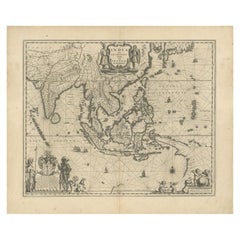
- Antique Map of Southeast Asia by Blaeu, c.1640Located in Langweer, NL"Antique map titled 'India quae Orientalis dicitur et Insulae adiacentes'. Map of Southeast Asia, extending from India to Tibet to Japan to New Guinea. This map is one of the first t...Category
Antique 17th Century Maps
MaterialsPaper
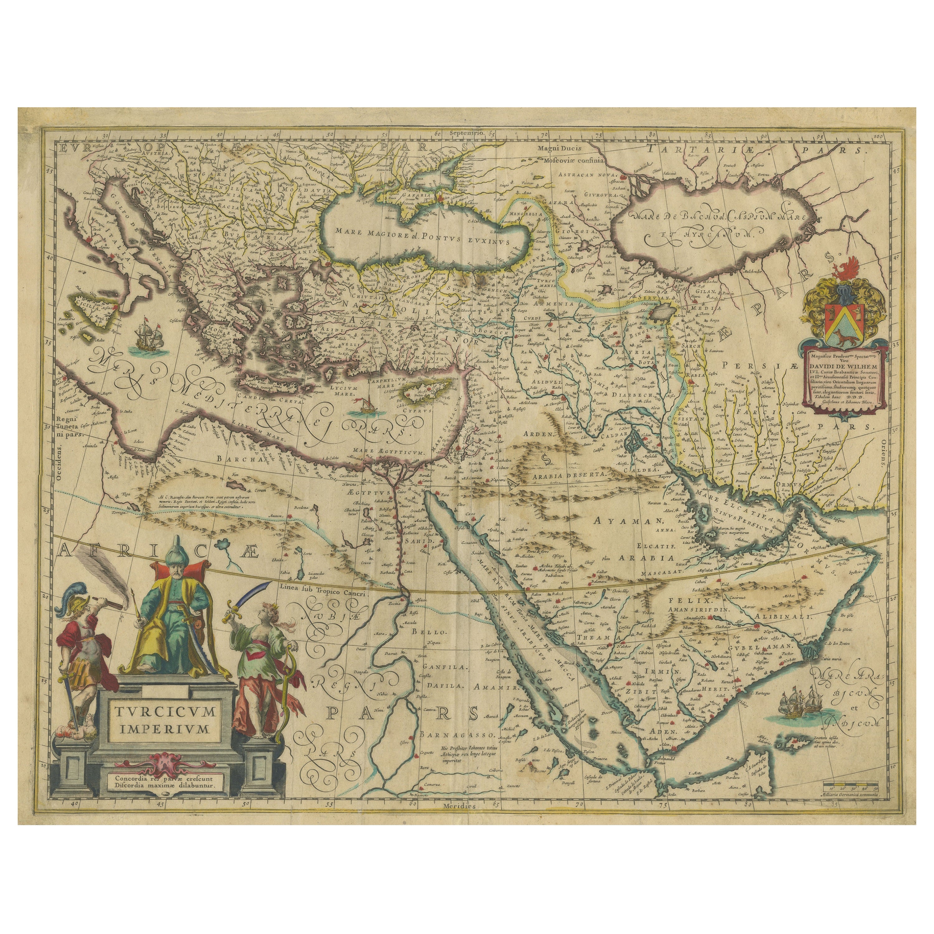
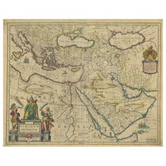
- Imperial Splendor: Antique Map of the Ottoman Empire by Blaeu, circa 1640Located in Langweer, NLThe antique map titled 'Turcicum Imperium' is an original old map of the Ottoman Empire, historically and colloquially known as the Turkish Empire. Here are the key features and deta...Category
Antique Mid-17th Century Maps
MaterialsPaper
- Antique Map of the Spice Islands 'Moluccas', Indonesia by W. Blaeu, circa 1640By Willem BlaeuLocated in Langweer, NLAntique map titled 'Moluccae Insulae Celeberrimae'. Highly decorative antique map of the Spice Islands (Moluccas) published by W. Blaeu (circa 1640). This map features a large inset ...Category
Antique Mid-17th Century Maps
MaterialsPaper
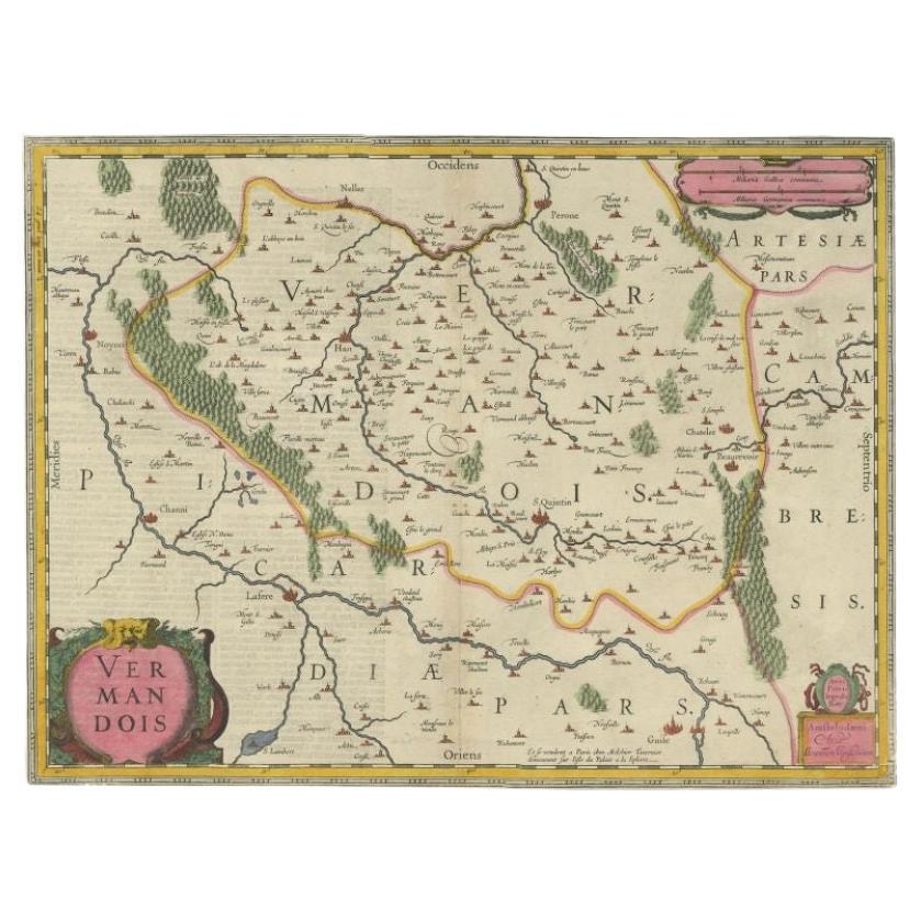
- Antique Map of the Region of Le Mans 'France' by Blaeu, circa 1640By Willem BlaeuLocated in Langweer, NLAntique map titled 'Cenomanorum Galliae regionis typus vulgo le Mans'. This lovely map of the historical province of Maine is centered on the famous city of Le Mans. This region witn...Category
Antique Mid-17th Century Maps
MaterialsPaper


You May Also Like
- Original Antique Map of The United States of America, circa 1890Located in St Annes, LancashireGreat map of the USA By The Stanford's Geographical Establishment Original colour Unframed.Category
Antique 1890s English Victorian Maps
MaterialsPaper
- Large Original Antique Map of the World, Fullarton, circa 1870Located in St Annes, LancashireGreat map of the World. From the celebrated Royal Illustrated Atlas Lithograph. Original color. Published by Fullarton, Edinburgh, circa 1870. Unframed.Category
Antique 1870s Scottish Maps
MaterialsPaper
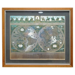
- World Map Silver Leaf Print Based on Original Willem Blaeu Wall Map 1571-1638Located in GBWe are delighted to offer for sale this lovely Antique style pictorial plan map of the globe based on the original Willem Blaeu 1571-1638 engraved in silver leaf foil This is a v...Category
20th Century English Campaign Maps
MaterialsSilver Leaf
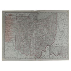
- Large Original Antique Map of Ohio by Rand McNally, circa 1900By Rand McNally & Co.Located in St Annes, LancashireFabulous monochrome map with red outline color Original color By Rand, McNally & Co. Published, circa 1900 Unframed Repairs to minor edge tears.Category
Antique Early 1900s American Edwardian Maps
MaterialsPaper
- Original Antique Map of South Dakota by Rand McNally, circa 1900By Rand McNally & Co.Located in St Annes, LancashireFabulous monochrome map with red outline color Original color By Rand, McNally & Co. Published, circa 1900 Unframed Minor edge tears.Category
Antique Early 1900s American Edwardian Maps
MaterialsPaper
- Large Original Antique Map of Arkansas by Rand McNally, circa 1900By Rand McNally & Co.Located in St Annes, LancashireFabulous monochrome map with red outline color Original color By Rand, McNally & Co. Published, circa 1900 Unframed Minor edge tears.Category
Antique Early 1900s American Edwardian Maps
MaterialsPaper