
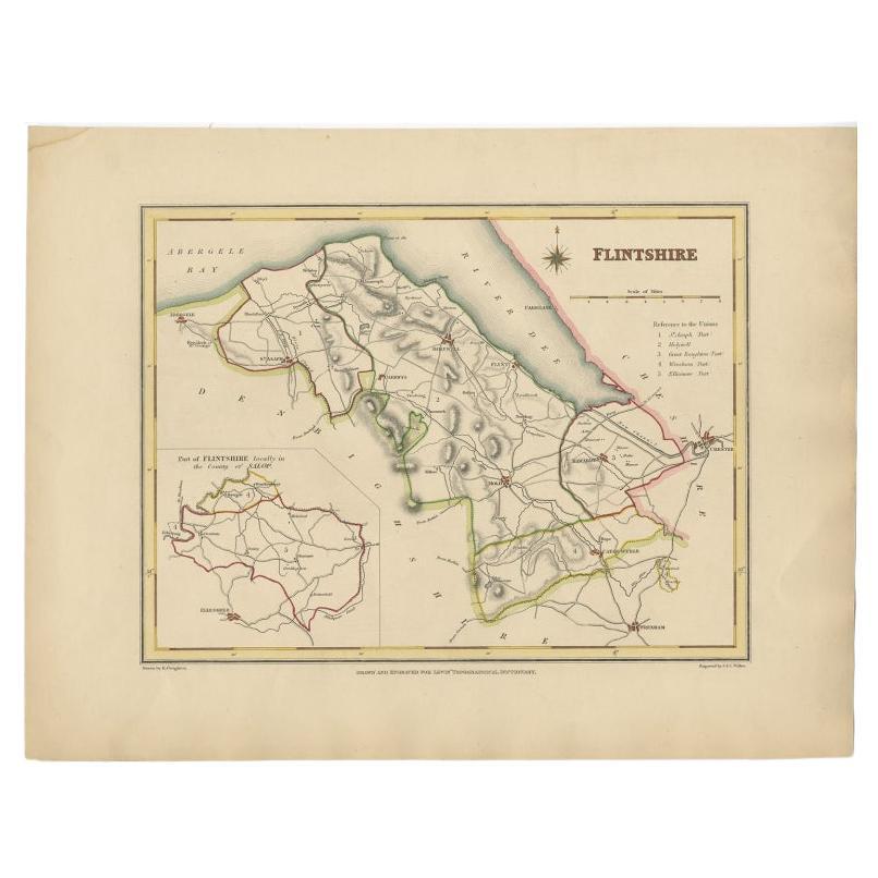
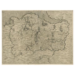
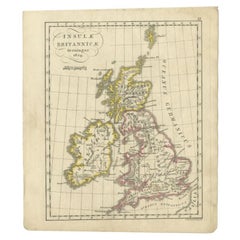
Antique Map of Denbighshire, Wales, United Kingdom, c.1850
View Similar Items


Want more images or videos?
Request additional images or videos from the seller
1 of 5
Antique Map of Denbighshire, Wales, United Kingdom, c.1850
About the Item
- Dimensions:Height: 9.45 in (24 cm)Width: 12.41 in (31.5 cm)Depth: 0 in (0.01 mm)
- Materials and Techniques:
- Period:
- Date of Manufacture:circa 1850
- Condition:
- Seller Location:Langweer, NL
- Reference Number:Seller: JAK-9181stDibs: LU3054326254612
About the Seller
5.0
Platinum Seller
These expertly vetted sellers are 1stDibs' most experienced sellers and are rated highest by our customers.
Established in 2009
1stDibs seller since 2017
1,909 sales on 1stDibs
More From This SellerView All
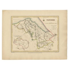
- Antique Map of Flintshire in Wales, United Kingdom, c.1850Located in Langweer, NLAntique map titled 'Flintshire'. Antique map of Flintshire with a inlay plan of Flintshire town. Flintshire is a principal area of Wales, known as a county, United Kingdom. Drawn and...Category
Antique 19th Century Maps
MaterialsPaper
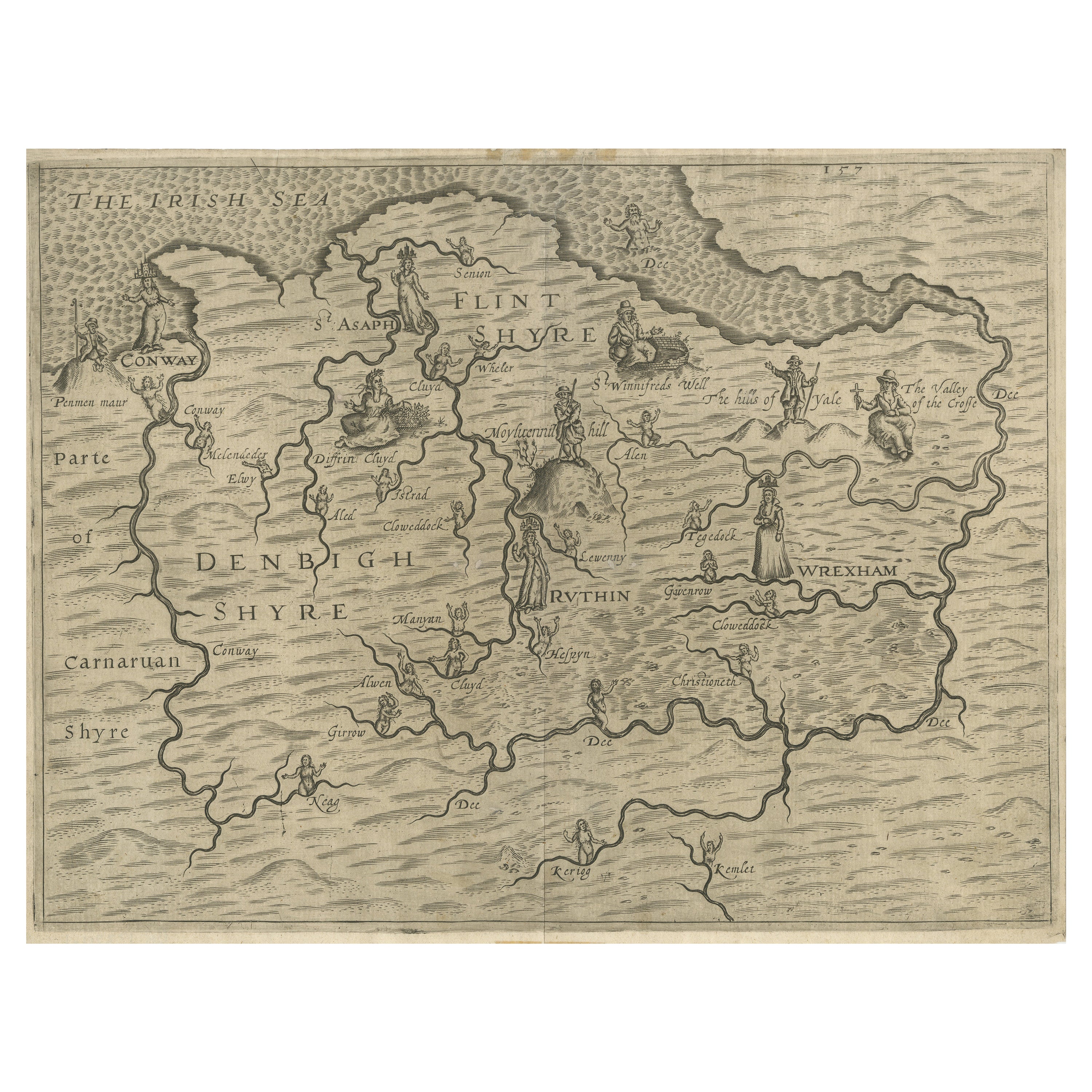
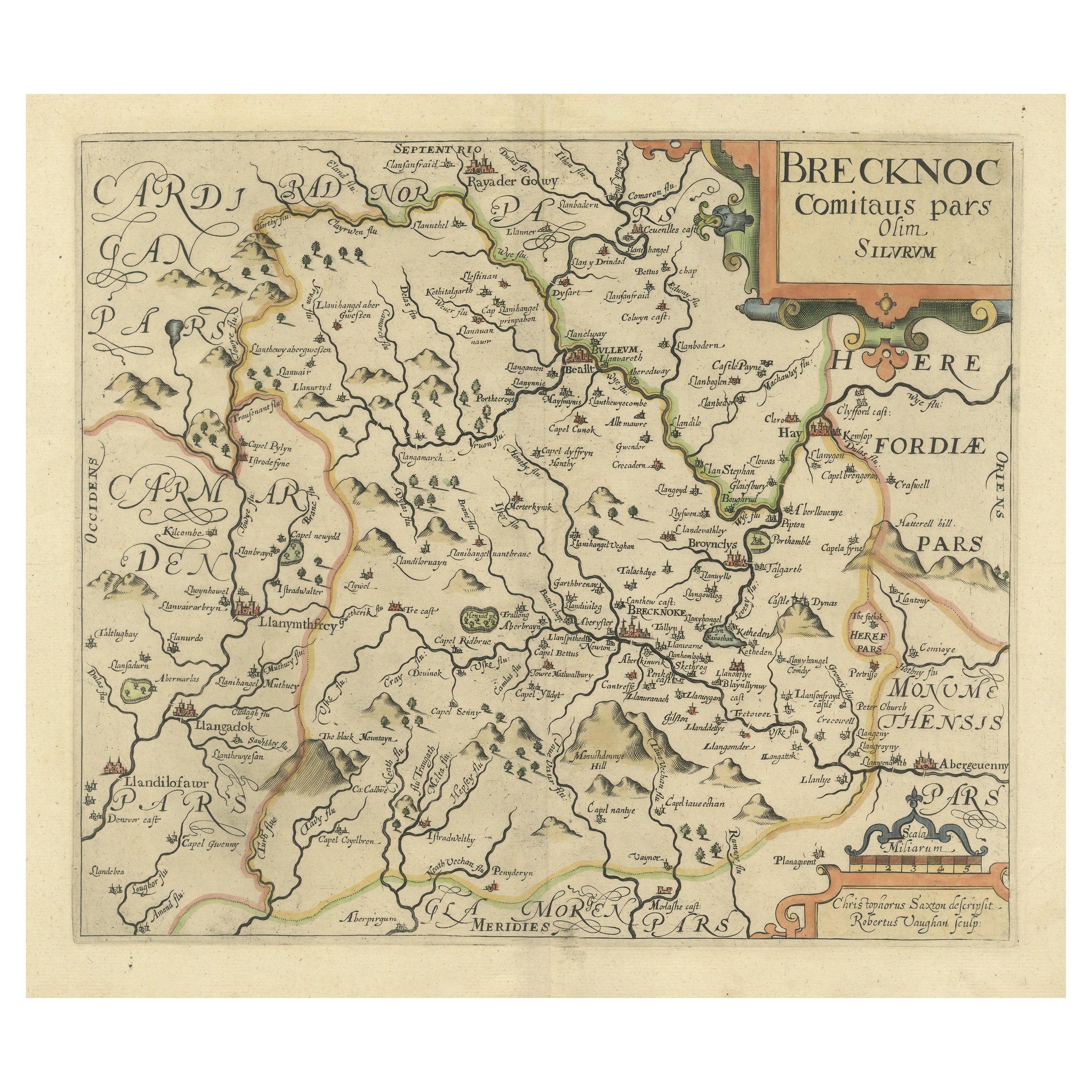
- Original Antique Poly-Olbion Map of Denbighshire and Flintshire, WalesLocated in Langweer, NLRare and original antique map of Denbighshire and Flintshire, Wales. From the 'Poly-Olbion,' an illustrated topographical poem describing Great Britain by Michael Drayton, 1622.Category
Antique Mid-17th Century Maps
MaterialsPaper
 $671 Sale Price20% Off
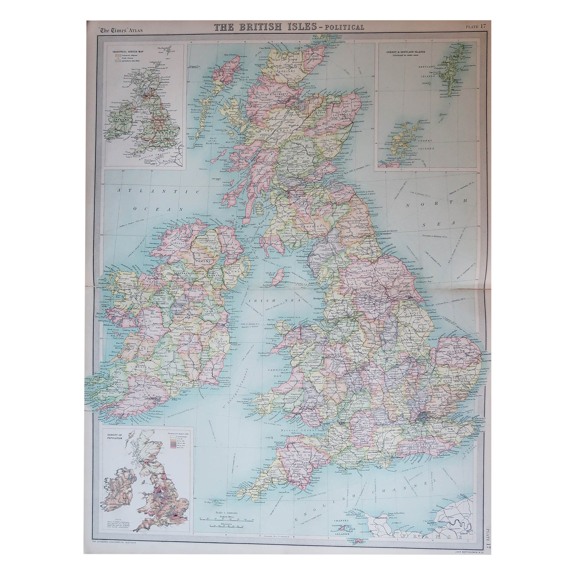
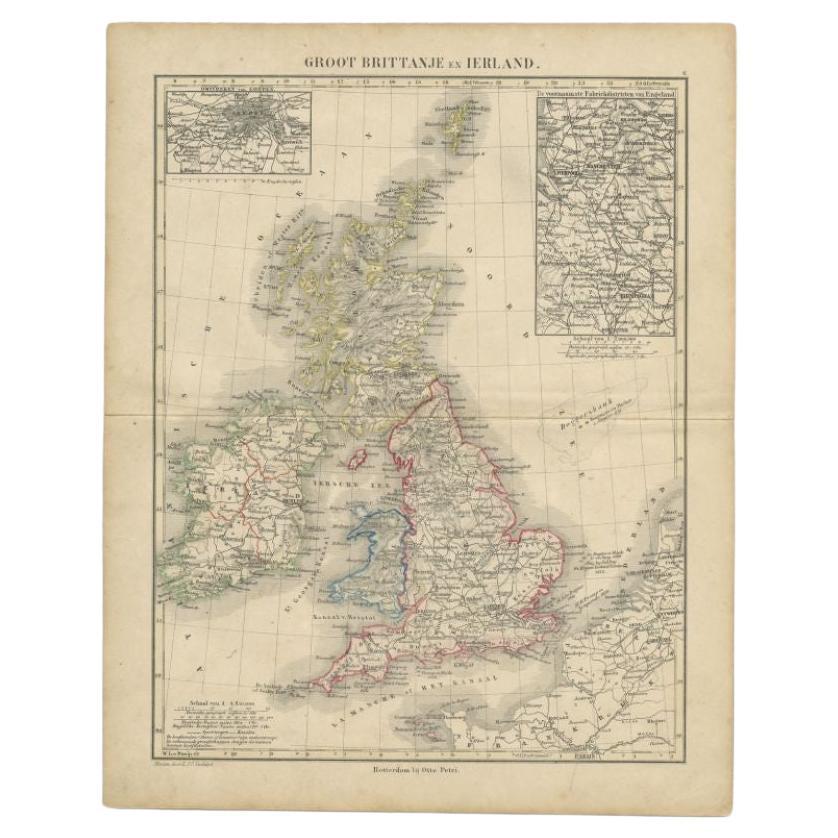
 - Antique Map of the United Kingdom and Ireland, c.1873Located in Langweer, NLAntique map titled 'Groot Brittanje en Ierland'. Old map depicting the United Kingdom and Ireland, with inset maps of London and factory districts of the UK. This map originates from...Category
Antique 19th Century Maps
MaterialsPaper
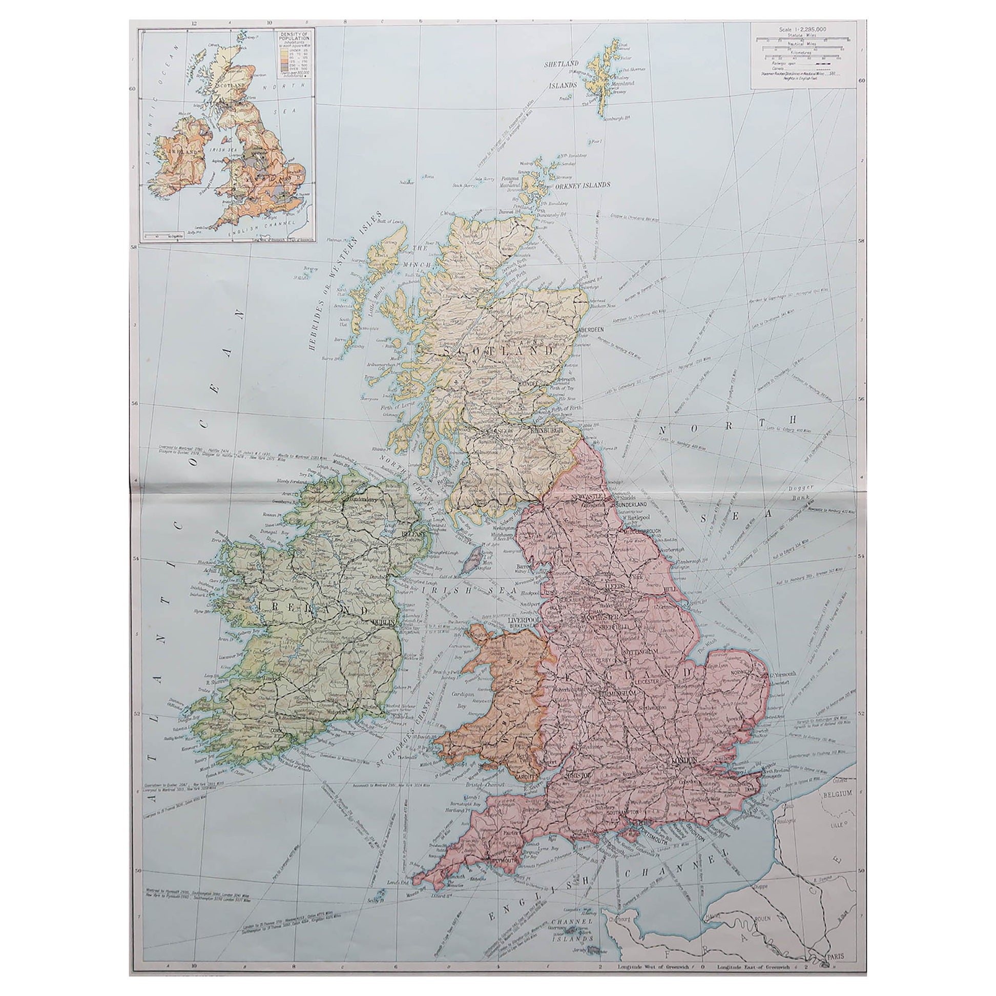
- Antique Map of the United Kingdom and Ireland, 1852Located in Langweer, NLAntique map titled 'Groot-Brittanje en Ierland'. Map of the United Kingdom and Ireland. This map originates from 'School-Atlas van alle deelen der Aarde' by Otto Petri. Artists a...Category
Antique 19th Century Maps
MaterialsPaper
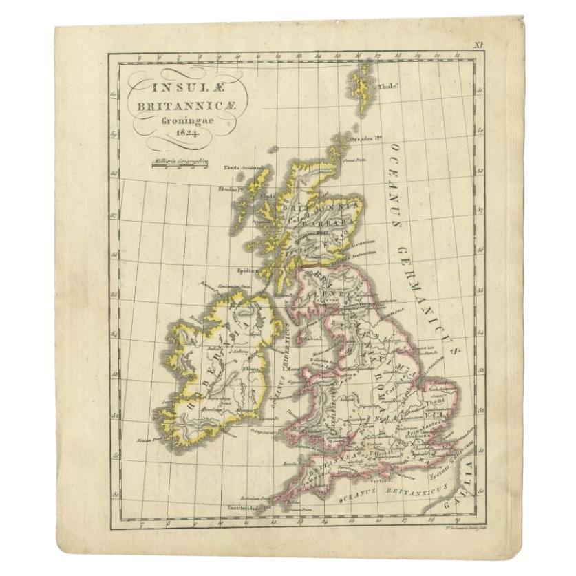
- Antique Map of the United Kingdom and Ireland, circa 1825Located in Langweer, NLAntique map titled 'Insula Britannicae'. Old map of the United Kingdom and Ireland originating from 'Atlas der Oude Wereld'. Artists and Engravers: Published by C. Ph. Funke and W. v...Category
Antique 19th Century Maps
MaterialsPaper
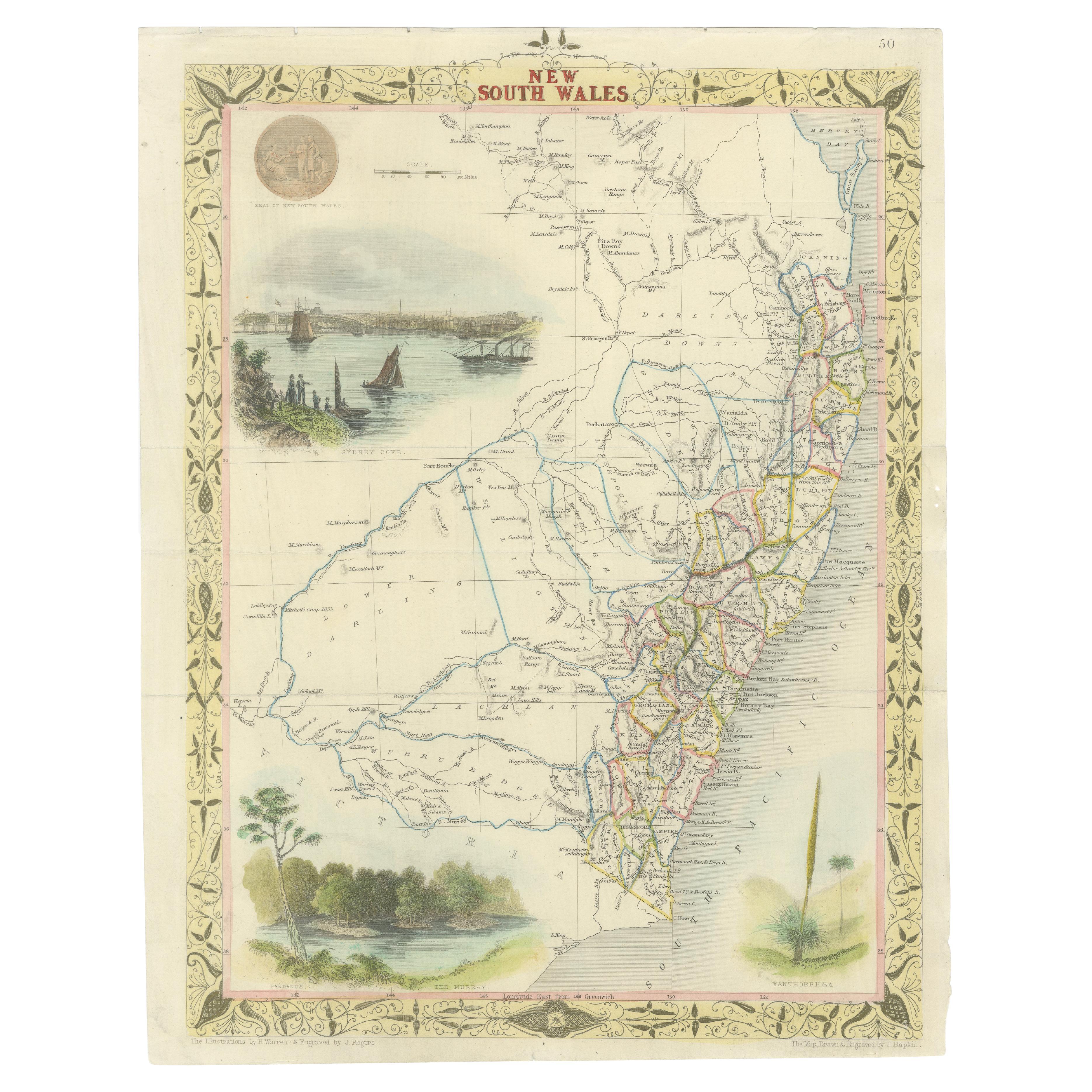
- Antique Map of New South Wales in Australia, ca. 1850Located in Langweer, NLAntique map of Victoria, or Port Phillip (12.7 x 10.0") in Australia. Superb map of Victoria roughly centered on Melbourne. Vignettes of Aborigines, a ...Category
Antique Mid-19th Century European Maps
MaterialsPaper


You May Also Like
- Large Original Vintage Map of The United Kingdom, circa 1920Located in St Annes, LancashireGreat map of The United Kingdom Original color. Published by Alexander Gross Unframed.Category
Vintage 1920s English Maps
MaterialsPaper
- Large Original Vintage Map of the United Kingdom, circa 1920Located in St Annes, LancashireGreat map of The United Kingdom Unframed Original color By John Bartholomew and Co. Edinburgh Geographical Institute Published, circa 1920 Free shipping.Category
Vintage 1920s British Maps
MaterialsPaper
- 17th Century John Speed Map of Denbighshire, c.1610By John SpeedLocated in Royal Tunbridge Wells, KentAntique early 17th century British very rare and original John Speed, hand coloured map of Denbighshire, dated 1610, by John Sunbury and George Humble. John...Category
Antique 17th Century British Maps
MaterialsWood, Paper
- Set of 10 Large Scale Vintage Maps of The United Kingdom, circa 1900Located in St Annes, LancashireGreat set of maps of the UK Lithographs. By John Bartholomew & Co. Published by The Edinburgh Geographical Institute Unframed. The measurement ...Category
Antique Early 1900s English Maps
MaterialsPaper
- Map of the Kingdom of Sardinia and Part of the Kingdom of Genoa, RomeBy Giovanni Maria CassiniLocated in Hamilton, Ontario18th century map by Italian engraver Giovanni Maria Cassini (Italy 1745-1824). Map of Part of the Kingdom of Sardinia and Part of the Kingdom of Genoa: Rome. This is a hand colored a...Category
Antique 18th Century Italian Maps
MaterialsPaper
 $795 Sale Price36% Off
 - Original Antique Map of The United States of America, circa 1890Located in St Annes, LancashireGreat map of the USA By The Stanford's Geographical Establishment Original colour Unframed.Category
Antique 1890s English Victorian Maps
MaterialsPaper


Recently Viewed
View AllMore Ways To Browse
Antique Furniture Cheshire
Antique Maps Wales
Antique Map Of Wales
Antique Maps Of Wales
Antique Map Wales
Maritime Map
Historic Antique Maps
J C Walker Map
Cheshire Antique Map
Antique Maps Of London
Antique Map Of London
Antique And Collectable Fairs
Antique Maps Amsterdam
Antique Furniture South London
Antique Map England
Antique Maps England
Antique England Map
Antique Railway