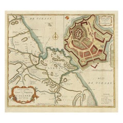
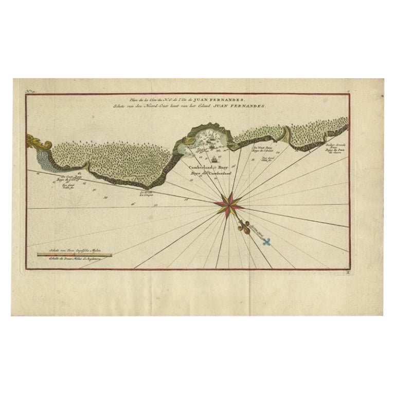
Antique Map of Island of Cayenne off French Guyana
View Similar Items


1 of 4
Antique Map of Island of Cayenne off French Guyana
About the Item
- Creator:Alain Manesson Mallet (Illustrator)
- Dimensions:Height: 10.5 in (26.67 cm)Width: 7.75 in (19.69 cm)Depth: 1 in (2.54 cm)
- Style:Louis XIV (Of the Period)
- Materials and Techniques:Paper,Engraved
- Place of Origin:
- Period:1680-1689
- Date of Manufacture:1683
- Condition:Wear consistent with age and use.
- Seller Location:Pataskala, OH
- Reference Number:Seller: dm170031stDibs: LU305039751061
You May Also Like
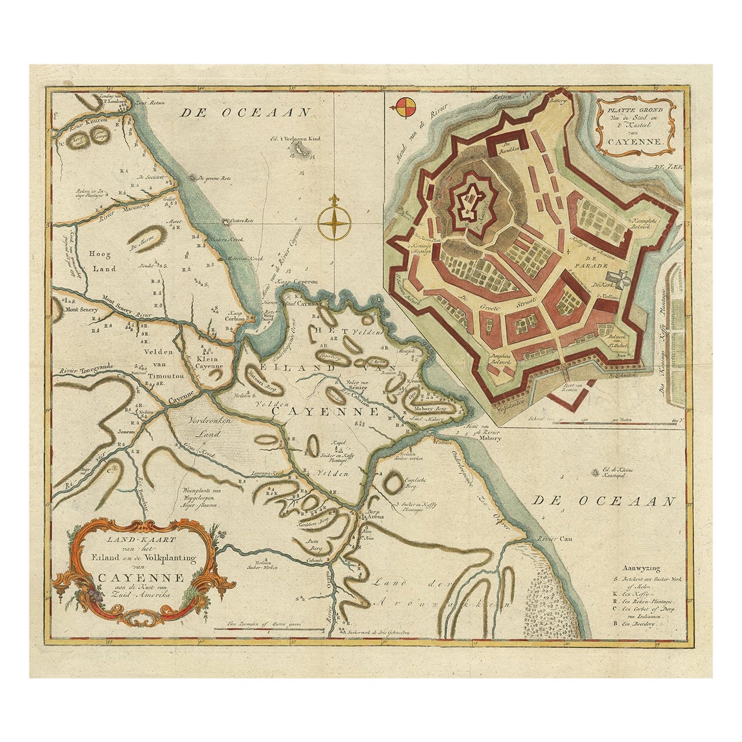
- Striking Antique Map of Cayenne in French Guyana, South America, ca.1760Located in Langweer, NLDescription: Antique map titled 'Land-kaart van het Eiland en de Volkplanting van Cayenne aan de Kust van Zuid-Amerika'. Striking map of the island and settlement of Cayenne in F...Category
Antique 1760s Maps
MaterialsPaper
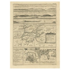
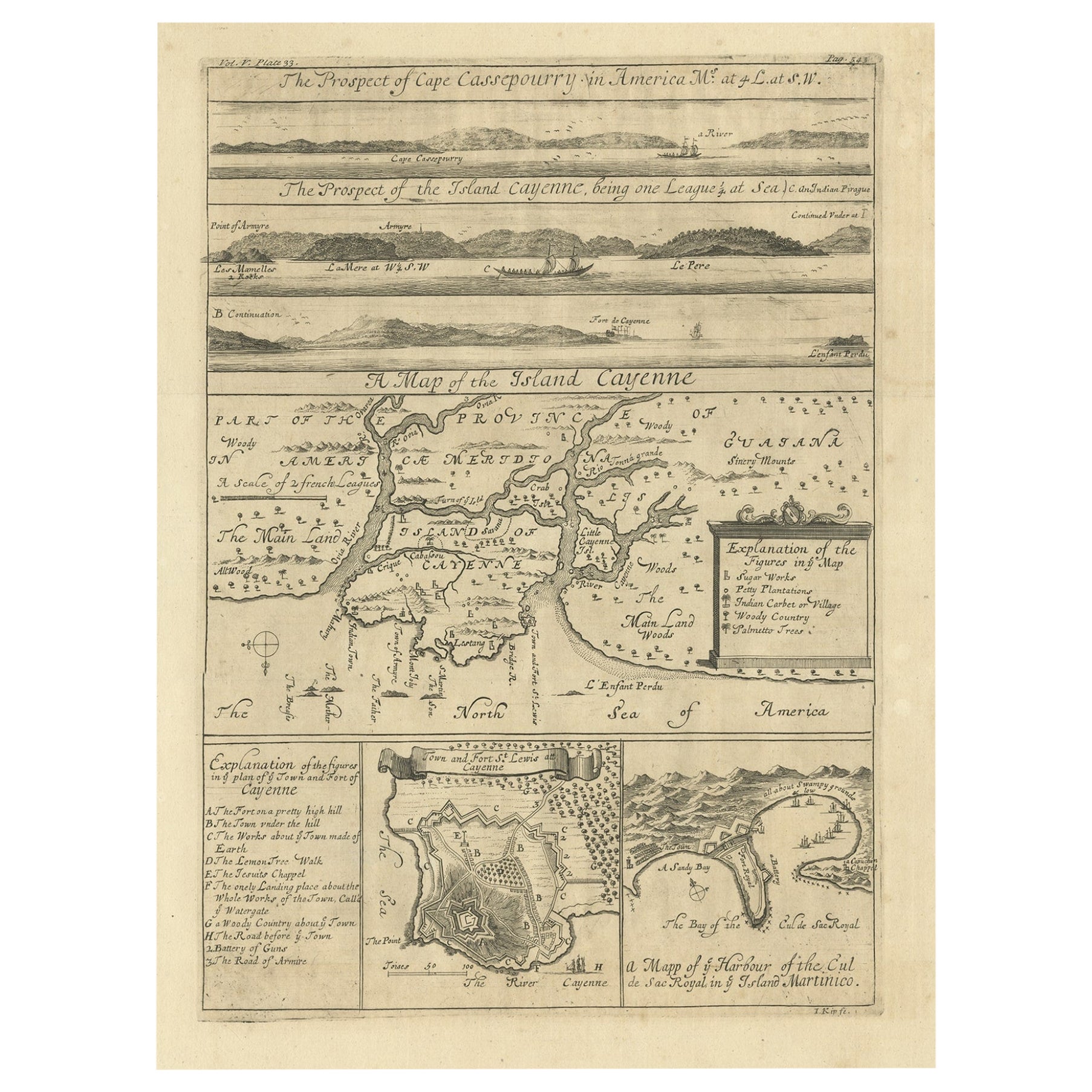
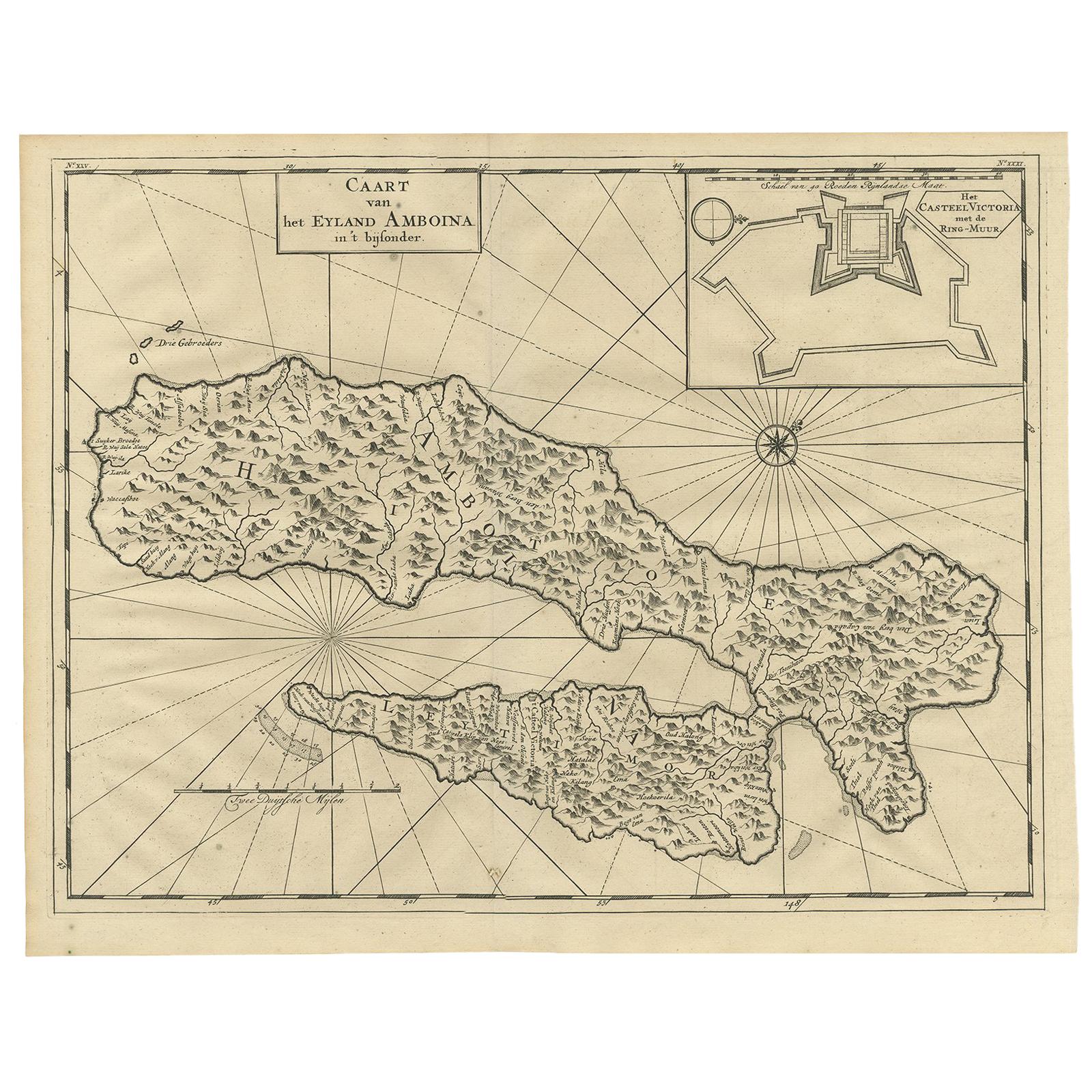
- Antique Map of Cayenne and Cassepouri, French Guinea, South America, c.1730Located in Langweer, NLAntique map titled 'A Map of the Island Cayenne (..)’. A set of interesting copper engravings of Cayenne and Cassepouri, French Guinea, South America, and Martinique in the West Indies. The map of Cayenne, home of Cayenne pepper, has a key of symbols identifying the sugar works, petty plantations, indian carbet or village, woody country and palmetto trees. The plan of Fort Lewis, Cayenne also has a lettered key including; A. the fort on a pretty high hill...Category
Antique 18th Century Maps
MaterialsPaper
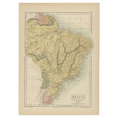
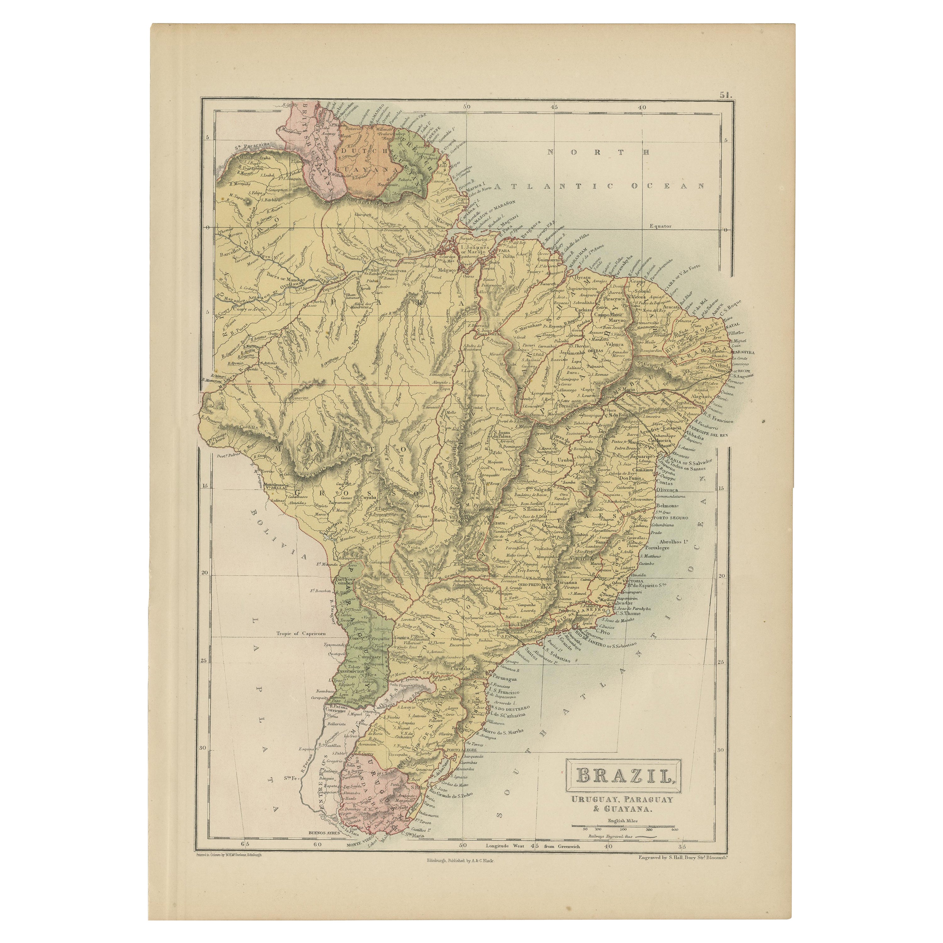
- Antique Map of Brazil, Uruguay, Paraguay and Guyana by A & C. Black, 1870Located in Langweer, NLAntique map titled 'Brazil'. Original antique map of Brazil, Uruguay, Paraguay and Guyana. This map originates from ‘Black's General Atlas of The...Category
Antique Late 19th Century Maps
MaterialsPaper
- Antique Map of France with an Inset Map of the Island of Corsica, c.1820Located in Langweer, NLAntique map titled 'Frankrijk naar de nieuwste bepalingen meerendeels gevolgd naar Lapie'. Beautiful map of France with an inset map of the island of Corsica. Includes a table with r...Category
Antique 19th Century Maps
MaterialsPaper
- Antique Map of the Atlantic Islands, 1817Located in Langweer, NLAntique map titled 'Atlantic Islands'. Large map of the Atlantic Islands include the Cape Verde islands, Canary islands, Azore islands and Madeira islands. Also included a view of th...Category
Antique Early 19th Century Maps
MaterialsPaper
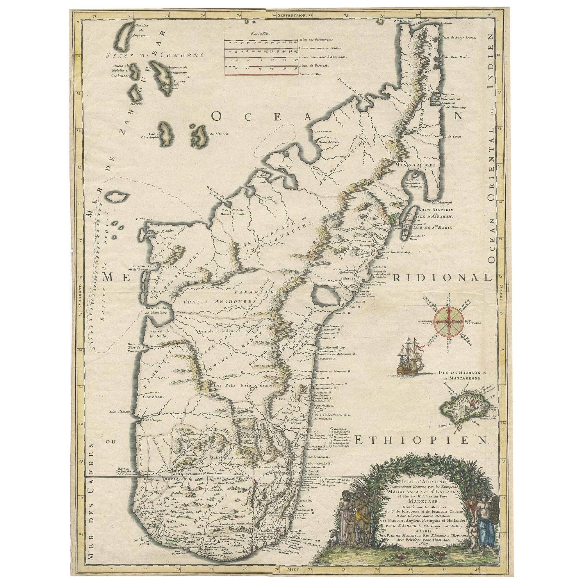
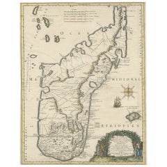
- Beautiful Antique Map of Madagascar, The Comoros Islands & Reunion Island, 1667Located in Langweer, NLAntique map titled 'Isle d'Auphine, communement Nommée par les Europeens Madagascar, et St. Laurens, et par les Habitans du pays Madecase'. Beautiful map of Madagascar...Category
Antique 1660s Maps
MaterialsPaper
 $793 Sale Price20% Off