Items Similar to Antique Map of New Zealand by Arrowsmith '1844'


Want more images or videos?
Request additional images or videos from the seller
1 of 6
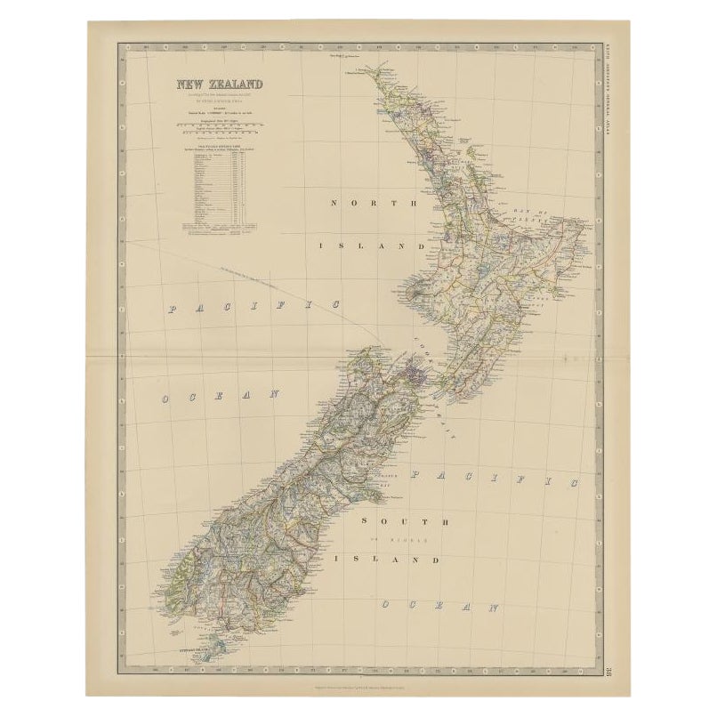
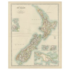
Antique Map of New Zealand by Arrowsmith '1844'
About the Item
Antique map titled 'Map of the colony of New Zealand from official documents'. A scarce map of New Zealand. First issued in the 1830s, this state shows the progress in the exploration and development of New Zealand, but still pre-dates the addition of New Zealand's counties.The three islands of New Zealand are labelled as New Ulster, New Munster and New Leinster, a nomenclature soon abandoned, that coincided with the period of Irish immigration following the Potato Famine. Published by John Arrowsmith, 1844.
- Dimensions:Height: 23.63 in (60 cm)Width: 18.51 in (47 cm)Depth: 0.02 in (0.5 mm)
- Materials and Techniques:
- Period:
- Date of Manufacture:1844
- Condition:Repaired: Professional re-backing. Professionally restored, some defects still visible. Shows some wear, please study images carefully.
- Seller Location:Langweer, NL
- Reference Number:
About the Seller
5.0
Platinum Seller
These expertly vetted sellers are 1stDibs' most experienced sellers and are rated highest by our customers.
Established in 2009
1stDibs seller since 2017
1,909 sales on 1stDibs
Typical response time: <1 hour
- ShippingRetrieving quote...Ships From: Langweer, Netherlands
- Return PolicyA return for this item may be initiated within 14 days of delivery.
More From This SellerView All
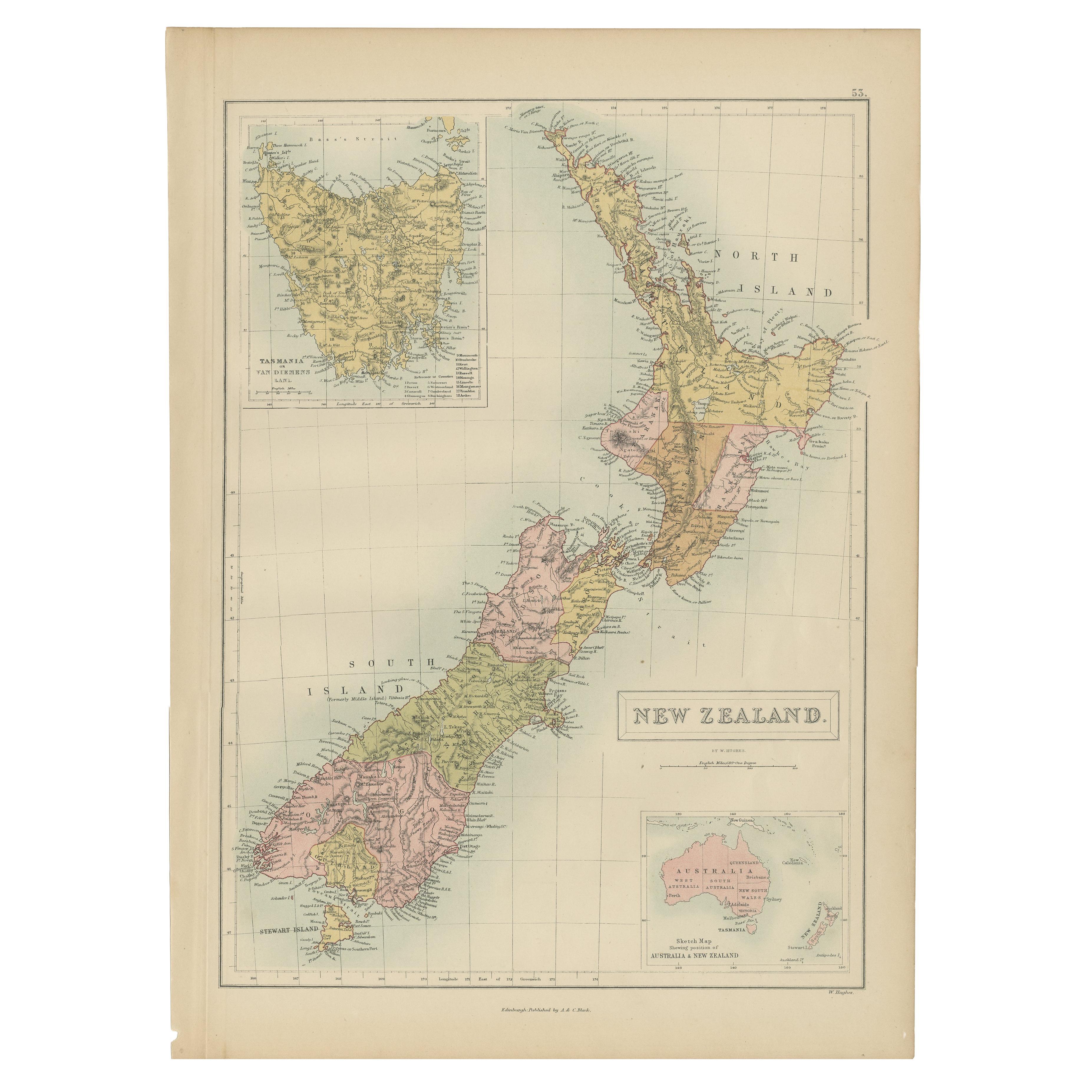
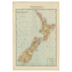
- Antique Map of New Zealand by A & C. Black, 1870Located in Langweer, NLAntique map titled 'New Zealand'. Original antique map of New Zealand with inset Maps of Australia, New Zealand and Tasmania. This map origi...Category
Antique Late 19th Century Maps
MaterialsPaper
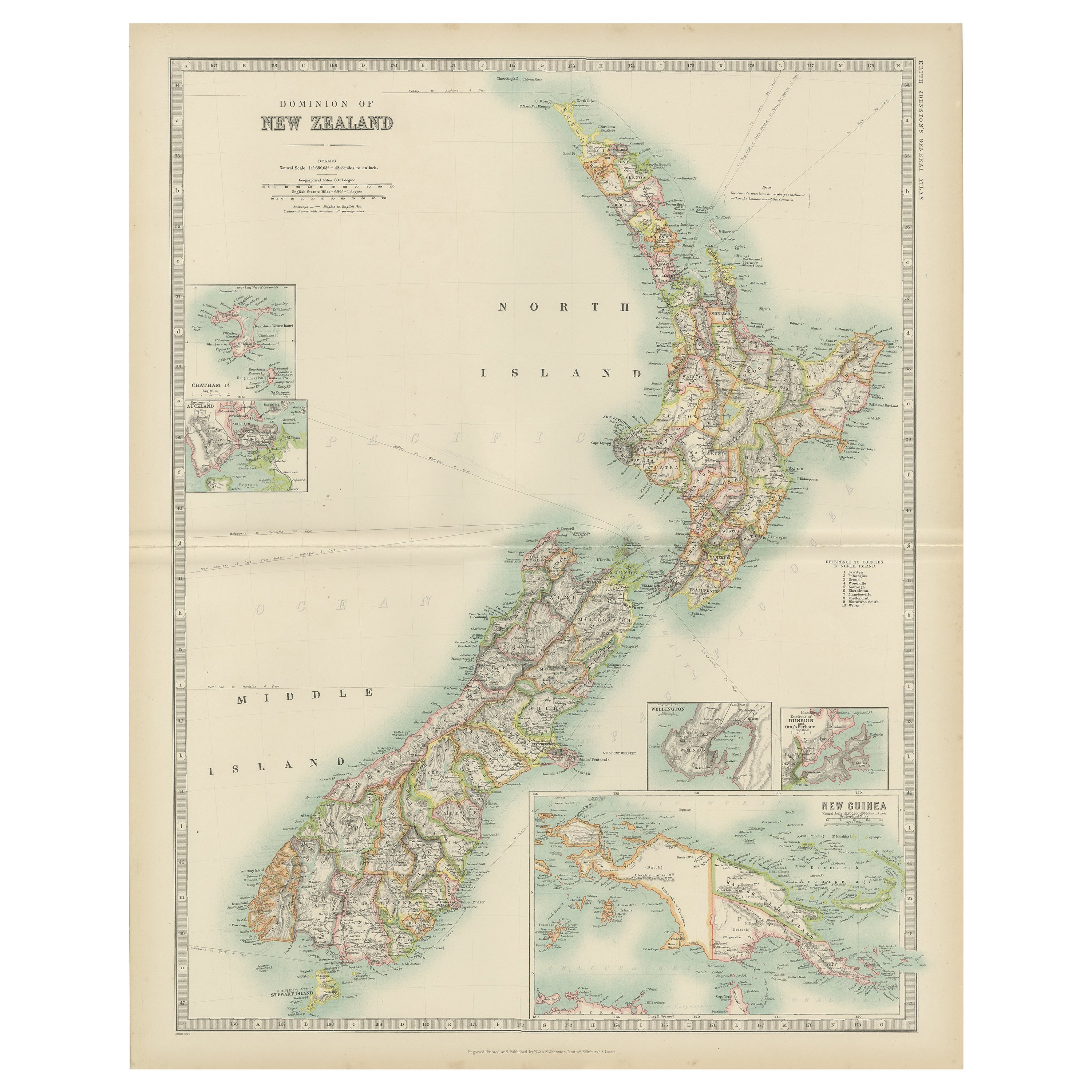
- Antique Map of New Zealand by Johnston '1909'Located in Langweer, NLAntique map titled 'New Zealand'. Original antique map of New Zealand. With inset maps of Chatham, Auckland, Wellington, Dunedin, and New Gu...Category
Early 20th Century Maps
MaterialsPaper
- Antique Map of New Zealand by G.F. Cram, 'circa 1906'Located in Langweer, NLAntique map titled 'New Zealand'. Large map of New Zealand with a small legend of the Chatham Islands. On the verso, a map of the North Polar regions and a map of Tasmania can be fou...Category
20th Century Maps
MaterialsPaper
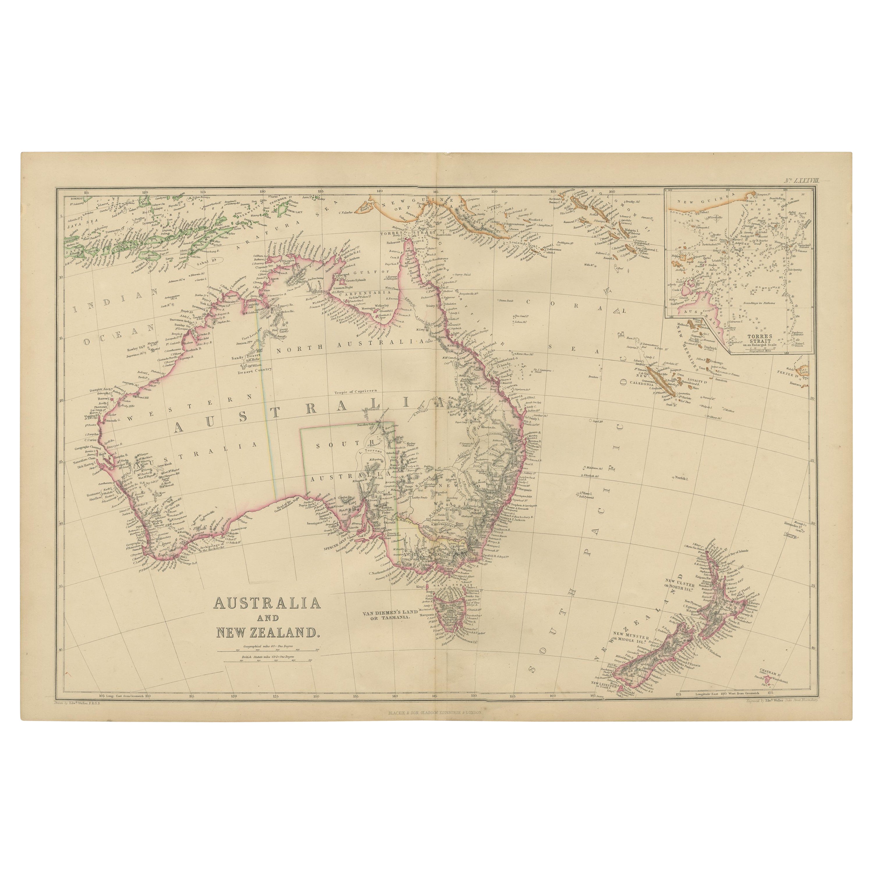
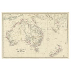
- Antique Map of Australia and New Zealand by W. G. Blackie, 1859Located in Langweer, NLAntique map titled 'Australia and New Zealand'. Original antique map of Australia and New Zealand with inset map of the Torres Strait. This map originates from ‘The Imperial Atlas of...Category
Antique Mid-19th Century Maps
MaterialsPaper
- Antique Map of New Zealand by Scottish Geographer Johnston, 1882Located in Langweer, NLAntique map titled 'New Zealand'. Old map of New Zealand. This map originates from 'The Royal Atlas of Modern Geography, Exhibiting, in a Series of Entirely Original and Authentic ...Category
Antique 19th Century Maps
MaterialsPaper
- Antique Map of Australia and New Zealand, c.1860Located in Langweer, NLAntique map titled 'Australia and New Zealand'. Unusual edition of this map of Australia and New Zealand, on very thin paper and multiple folding lines. Source unknown, to be determi...Category
Antique 19th Century Maps
MaterialsPaper


You May Also Like
- Original Antique Map of Russia By Arrowsmith. 1820Located in St Annes, LancashireGreat map of Russia Drawn under the direction of Arrowsmith Copper-plate engraving Published by Longman, Hurst, Rees, Orme and Brown, 1820 Unframed.Category
Antique 1820s English Maps
MaterialsPaper
- Original Antique Map of Italy. Arrowsmith. 1820Located in St Annes, LancashireGreat map of Italy Drawn under the direction of Arrowsmith Copper-plate engraving Published by Longman, Hurst, Rees, Orme and Brown, 1820 Unframed.Category
Antique 1820s English Maps
MaterialsPaper
- Original Antique Map of Canada, Arrowsmith, 1820Located in St Annes, LancashireGreat map of Canada. Drawn under the direction of Arrowsmith. Copper-plate engraving. Published by Longman, Hurst, Rees, Orme and Brown, 1820 ...Category
Antique 1820s English Maps
MaterialsPaper
- Original Antique Map of Europe, Arrowsmith, 1820Located in St Annes, LancashireGreat map of Europe Drawn under the direction of Arrowsmith. Copper-plate engraving. Published by Longman, Hurst, Rees, Orme and Brown, 1820 ...Category
Antique 1820s English Maps
MaterialsPaper
- Original Antique Map of South Africa, Arrowsmith, 1820Located in St Annes, LancashireGreat map of South Africa. Drawn under the direction of Arrowsmith. Copper-plate engraving. Published by Longman, Hurst, Rees, Orme and Br...Category
Antique 1820s English Maps
MaterialsPaper
- Original Antique Map of Central America / Florida, Arrowsmith, 1820Located in St Annes, LancashireGreat map of Central America. Drawn under the direction of Arrowsmith. Copper-plate engraving. Published by Longman, Hurst, Rees, Orme and Brown, 1820 Unframed.Category
Antique 1820s English Maps
MaterialsPaper


Recently Viewed
View AllMore Ways To Browse
Antique Map New
Irish Mid 19th Century
Antique State Maps
Antique New Zealand
Antique County Maps
Antique Furniture New Zealand
New Zealand Antique Furniture
Ireland Map
Irish Map
Map Of Ireland
Map Zealand
Antique Ireland Maps
Antique Ireland Map
Antique Irish Map
New Zealand Map
Antique Maps Ireland
Antique Map Ireland
Antique Map Of Ireland