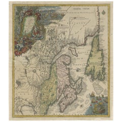
Antique Map of Northeastern Canada by Lotter 'circa 1760'
View Similar Items


Want more images or videos?
Request additional images or videos from the seller
1 of 5
Antique Map of Northeastern Canada by Lotter 'circa 1760'
About the Item
- Dimensions:Height: 20.87 in (53 cm)Width: 23.82 in (60.5 cm)Depth: 0.02 in (0.5 mm)
- Materials and Techniques:
- Period:
- Date of Manufacture:circa 1760
- Condition:Repaired: Repair on a few small tears and a larger tear near 'Halifax'. Original/contemporary hand coloring. Repair on folding line. Repair on a few small tears and a larger tear near 'Halifax'. General age-related toning. Shows some wear and soiling. Blank verso. Please study images carefully.
- Seller Location:Langweer, NL
- Reference Number:Seller: BG-128171stDibs: LU3054321880852
About the Seller
5.0
Platinum Seller
These expertly vetted sellers are 1stDibs' most experienced sellers and are rated highest by our customers.
Established in 2009
1stDibs seller since 2017
1,913 sales on 1stDibs
More From This SellerView All
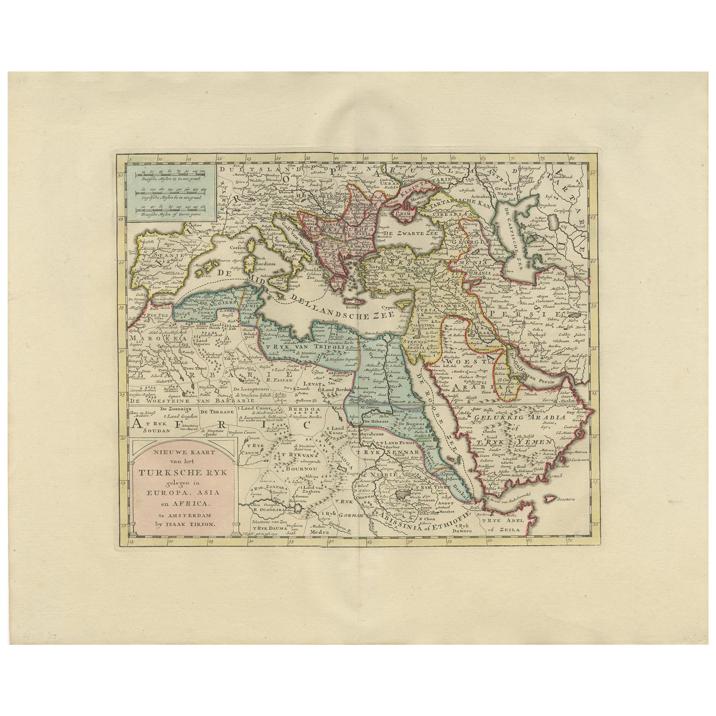
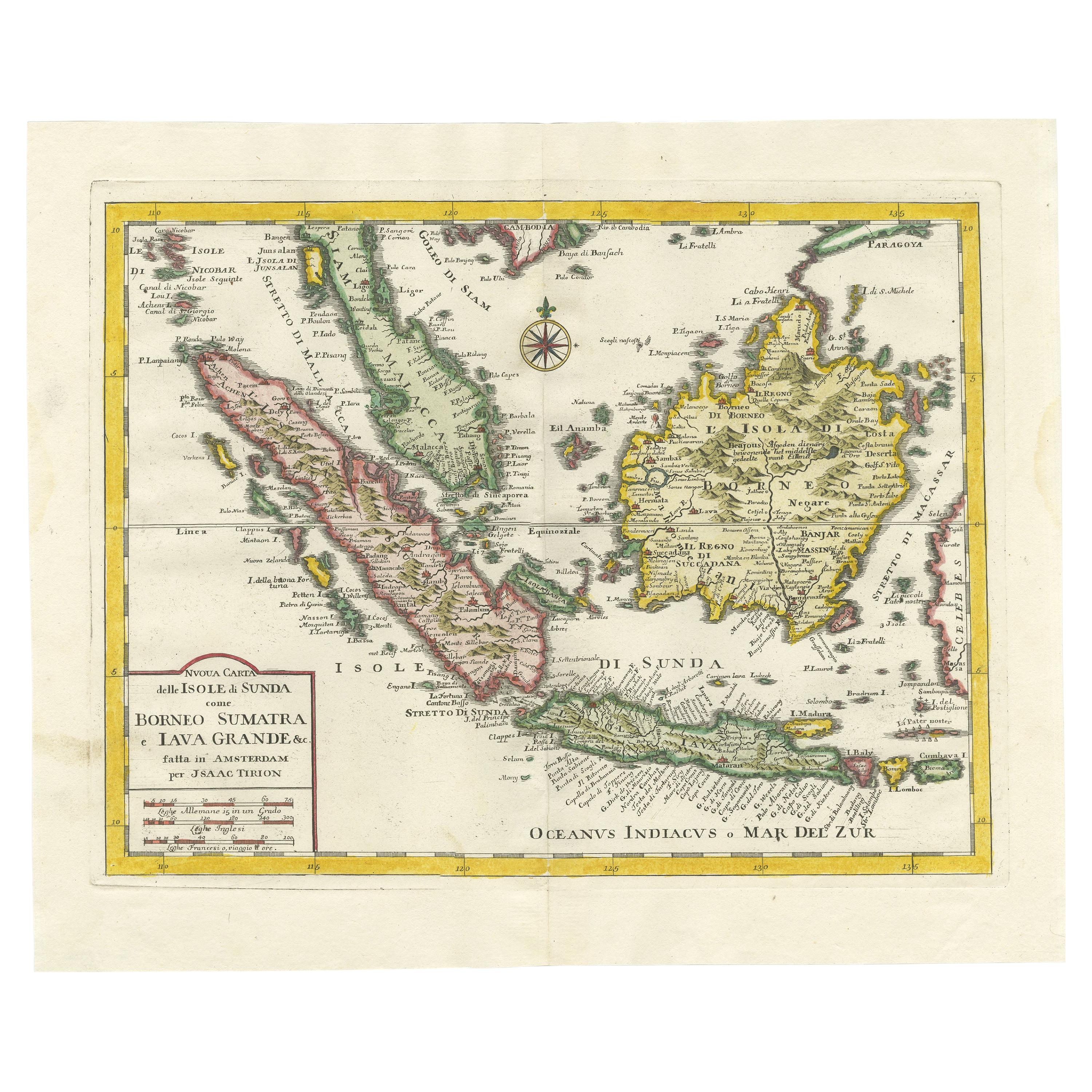
- Antique Map of Asia by Tirion 'c.1760'Located in Langweer, NLAntique map titled 'Nuova Carta dell Asia'. Decorative map of Asia. Published by I. Tirion, circa 1760.Category
Antique Mid-18th Century Maps
MaterialsPaper
 $956 Sale Price20% Off
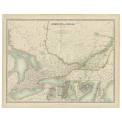
 - Antique Map of Canada by Johnston '1909'Located in Langweer, NLAntique map titled 'Dominion of Canada'. Original antique map of Canada. With inset maps of Niagara, Montreal, Quebec. This map originates from t...Category
Early 20th Century Maps
MaterialsPaper
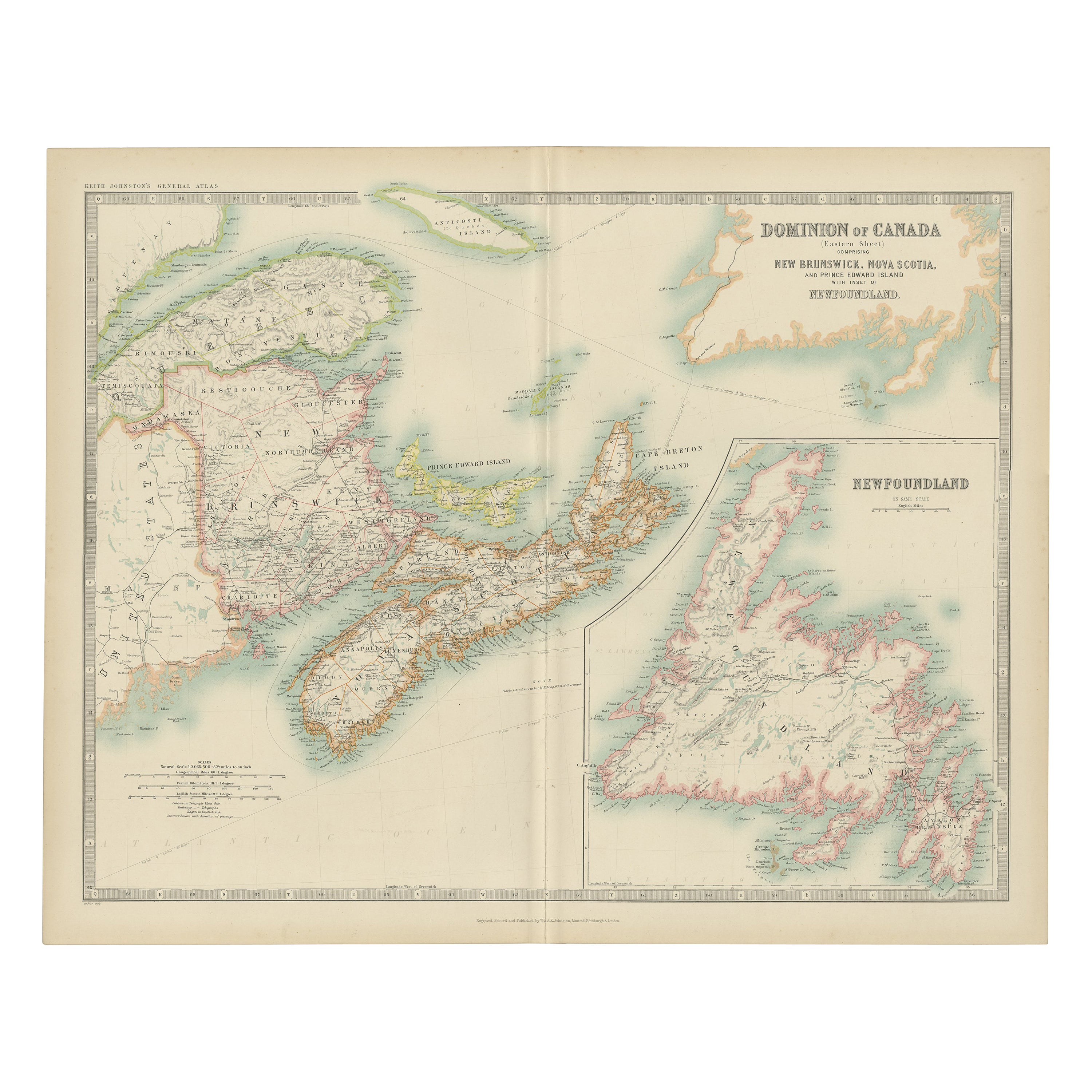
- Antique Map of Canada by Johnston '1909'Located in Langweer, NLAntique map titled 'Dominion of Canada'. Original antique map of Canada. With inset map of Newfoundland. This map originates from the ‘Royal Atla...Category
Early 20th Century Maps
MaterialsPaper
 $217 Sale Price20% Off
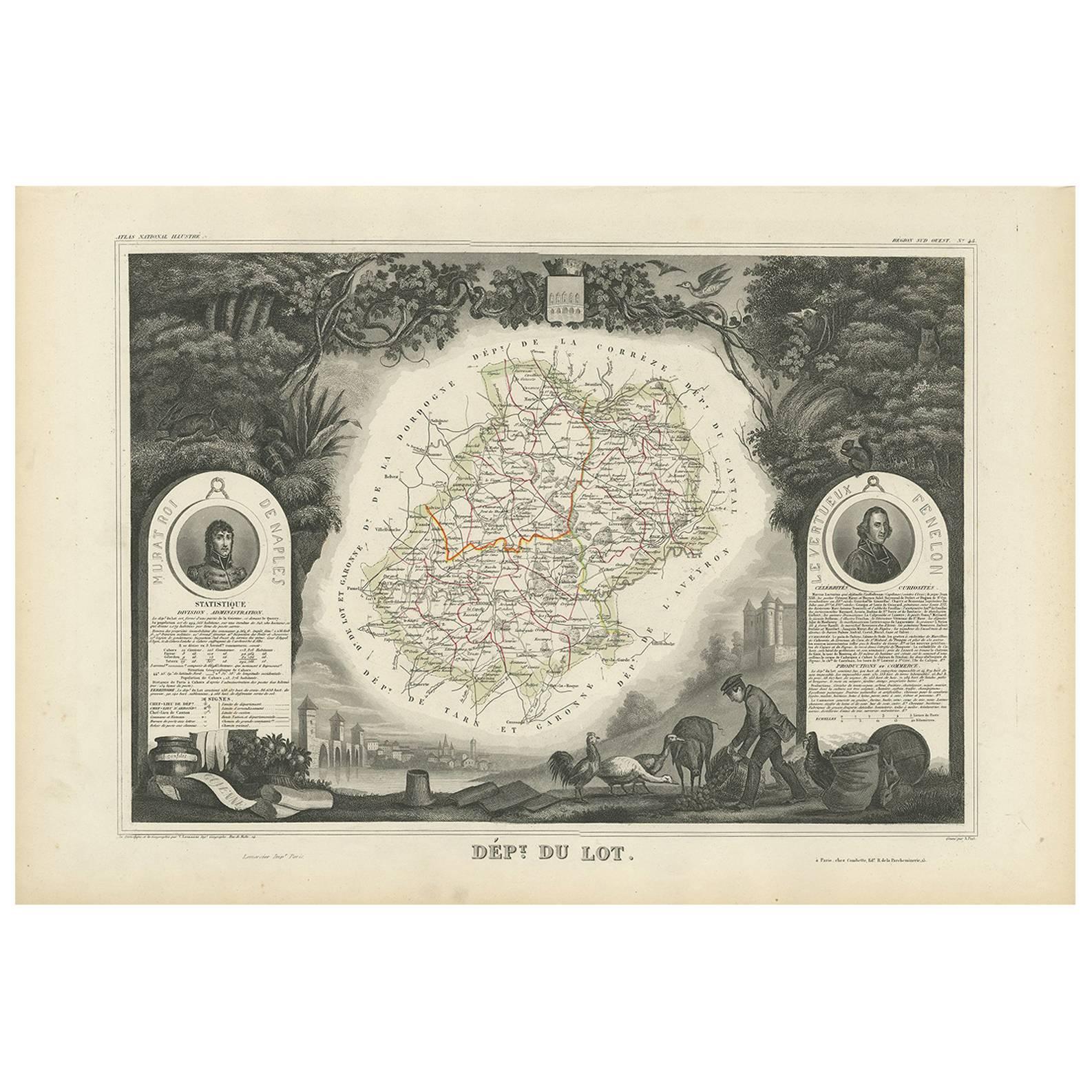
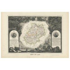
 - Antique Map of Lot ‘France’ by V. Levasseur, 1854Located in Langweer, NLAntique map titled 'Dépt. du Lot'. Map of the French department of Lot, France. This area of France is known for its production of Cahors wine, a powerful red wine, often “harsh when...Category
Antique Mid-19th Century Maps
MaterialsPaper
 $146 Sale Price25% Off
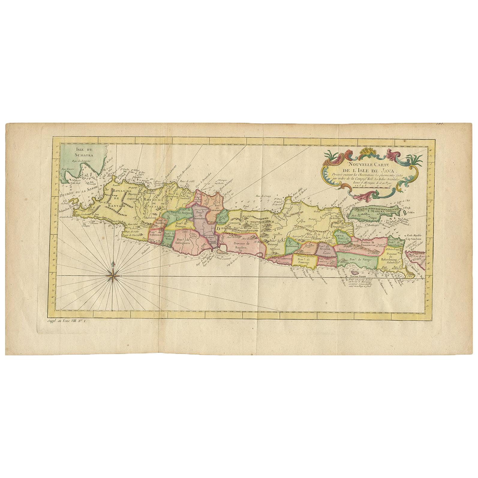
 - Antique Map of the Gulf of Bengal by J.N. Bellin, circa 1760Located in Langweer, NLBeautiful chart of the Gulf of Bengal. The map extends from Malabar to Sumatra and today Phuket area in Thailand. Including Pegu, Ceylon, and the Andaman and Nicobar Islands. Numerou...Category
Antique Mid-18th Century Maps
MaterialsPaper
 $298 Sale Price20% Off
 - Antique Map of West Canada by Tallis 'c.1850'Located in Langweer, NLAntique map titled 'West Canada'. Original antique map of West Canada, with decorative vignettes titled Kingston and Falls of Niagara. This map originates from 'The History and Topog...Category
Antique Mid-19th Century Maps
MaterialsPaper
 $260 Sale Price20% Off
You May Also Like
- Original Antique Map of Canada, Arrowsmith, 1820Located in St Annes, LancashireGreat map of Canada. Drawn under the direction of Arrowsmith. Copper-plate engraving. Published by Longman, Hurst, Rees, Orme and Brown, 1820 ...Category
Antique 1820s English Maps
MaterialsPaper

- Original Antique Map of South America, circa 1830Located in St Annes, LancashireGreat map of South America Copper plate engraving Published by Butterworth, Livesey & Co., circa 1830 Unframed.Category
Antique Early 1800s English Other Maps
MaterialsPaper

- Original Antique Map of South East Asia by Becker, circa 1840Located in St Annes, LancashireGreat map of South East Asia Steel engraving with original color outline Engraved by Becker Published by Virtue, circa 1840. Unframed.Category
Antique 1840s English Other Maps
MaterialsPaper
- Original Antique Map / City Plan of Brussels by Tallis, circa 1850Located in St Annes, LancashireGreat map of Brussels. Steel engraving. Published by London Printing & Publishing Co. (Formerly Tallis), C.1850 Free shipping.Category
Antique 1850s English Maps
MaterialsPaper
- Original Antique Map of Spain and Portugal, circa 1790Located in St Annes, LancashireSuper map of Spain and Portugal Copper plate engraving by A. Bell Published, circa 1790. Unframed.Category
Antique 1790s English Other Maps
MaterialsPaper
- Antique Map of Italy by Andriveau-Goujon, 1843By Andriveau-GoujonLocated in New York, NYAntique Map of Italy by Andriveau-Goujon, 1843. Map of Italy in two parts by Andriveau-Goujon for the Library of Prince Carini at Palazzo Carini i...Category
Antique 1840s French Maps
MaterialsLinen, Paper
 $3,350 / set


Recently Viewed
View AllMore Ways To Browse
Antique Furniture Lot
Antique Canadian Furniture
Antique Furniture Canada
Canadian Antique Furniture
Canadian Antique
Canada Antiques
French Canadian Antique
River Map
Ship Map
Antique French Canadian Furniture
French Canadian Antique Furniture
Map Of South Of France
Fleet Furniture Antique
South Indian Antique Furniture
Antique South Indian Furniture
18th Century Allegorical
18th Century Canadian
Canada 18th Century