Items Similar to Antique Map of Persia by A. Zatta, circa 1785


Want more images or videos?
Request additional images or videos from the seller
1 of 5
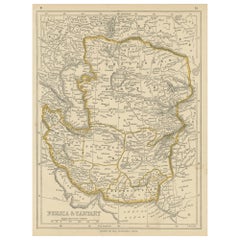
Antique Map of Persia by A. Zatta, circa 1785
About the Item
Antique map titled 'L'Impero della Persia diviso ne suoi Stati'. The Empire of Persia divided into its states. Originates from 'Atlante Novissimo, illustrato ed accresciuto sulle osservazioni (..)'.
- Dimensions:Height: 14.97 in (38 cm)Width: 19.3 in (49 cm)Depth: 0.02 in (0.5 mm)
- Materials and Techniques:
- Period:
- Date of Manufacture:circa 1785
- Condition:Repair on folding line. Please study image carefully.
- Seller Location:Langweer, NL
- Reference Number:
About the Seller
5.0
Platinum Seller
These expertly vetted sellers are 1stDibs' most experienced sellers and are rated highest by our customers.
Established in 2009
1stDibs seller since 2017
1,916 sales on 1stDibs
Typical response time: <1 hour
- ShippingRetrieving quote...Ships From: Langweer, Netherlands
- Return PolicyA return for this item may be initiated within 14 days of delivery.
More From This SellerView All
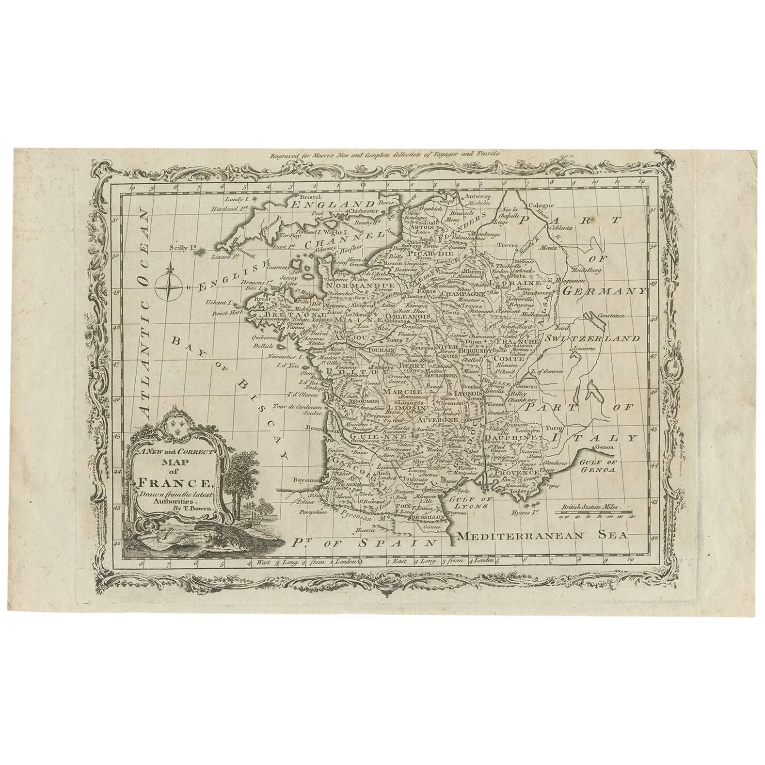
- Antique Map of France by T. Bowen, 1785Located in Langweer, NLDecorative antique map of France titled 'A new and accurate map of France, Drawn from the latest Authorities by T. Bowen'. Engraved for Moore’s new and complete collection of Voyages...Category
Antique Late 18th Century Maps
MaterialsPaper
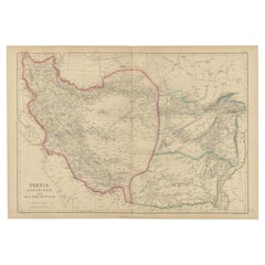
- Antique Map of Eastern Persia, 1852Located in Langweer, NLAntique map titled 'Eastern Persia'. Original map of Eastern Persia. This map originates from 'Lowry's Table Atlas constructed and engraved from the most recent Authorities' by J.W. ...Category
Antique Mid-19th Century Maps
MaterialsPaper
- Antique Map of Persia and Tartary by Lowry, '1852'Located in Langweer, NLAntique map titled 'Persia and Tartary'. Original map of Persia and Tartary. This map originates from 'Lowry's Table Atlas constructed and engraved from the most recent Authorities' ...Category
Antique Mid-19th Century Maps
MaterialsPaper
- Antique Map of Persia and Afghanistan by Johnston '1909'Located in Langweer, NLAntique map titled 'Persia and Afghanistan'. Original antique map of Persia and Afghanistan. This map originates from the ‘Royal Atlas o...Category
Early 20th Century Maps
MaterialsPaper
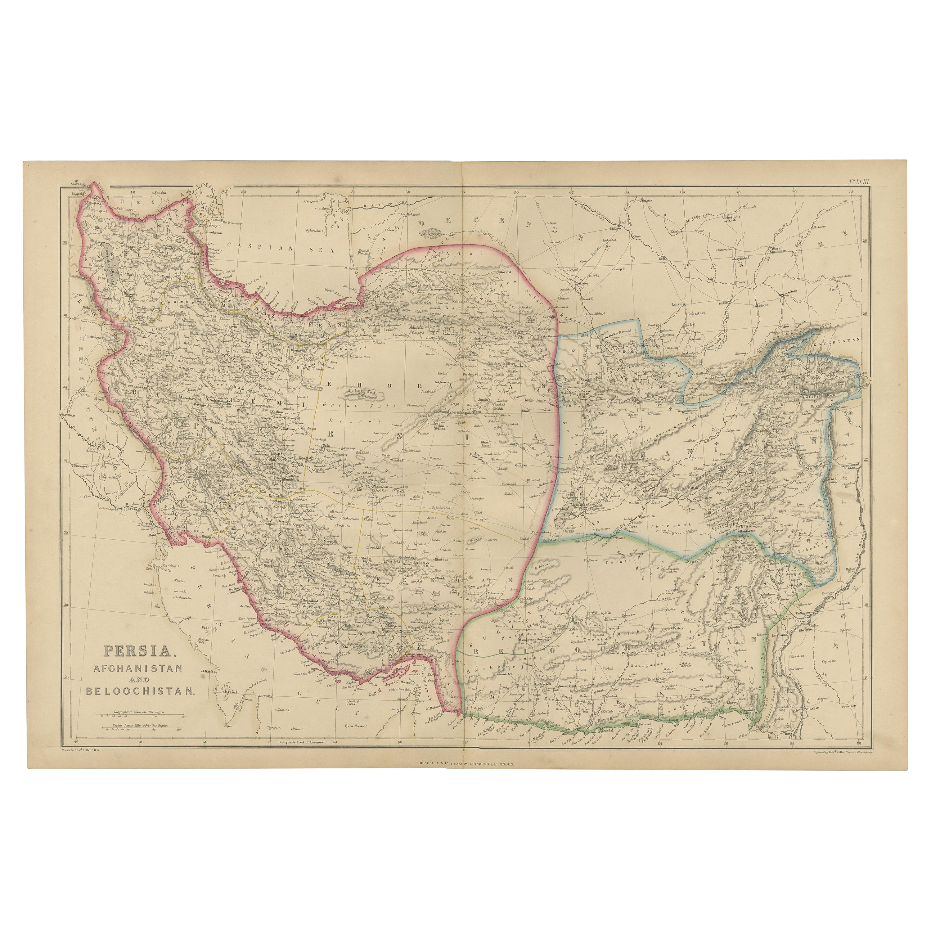
- Antique Map of Persia, Afghanistan and Balochistan, 1859Located in Langweer, NLThe antique map titled "Persia, Afghanistan and Beloochistan" is a remarkable historical document originating from 'The Imperial Atlas of Modern Geography', published by W. G. Blacki...Category
Antique Mid-19th Century Maps
MaterialsPaper
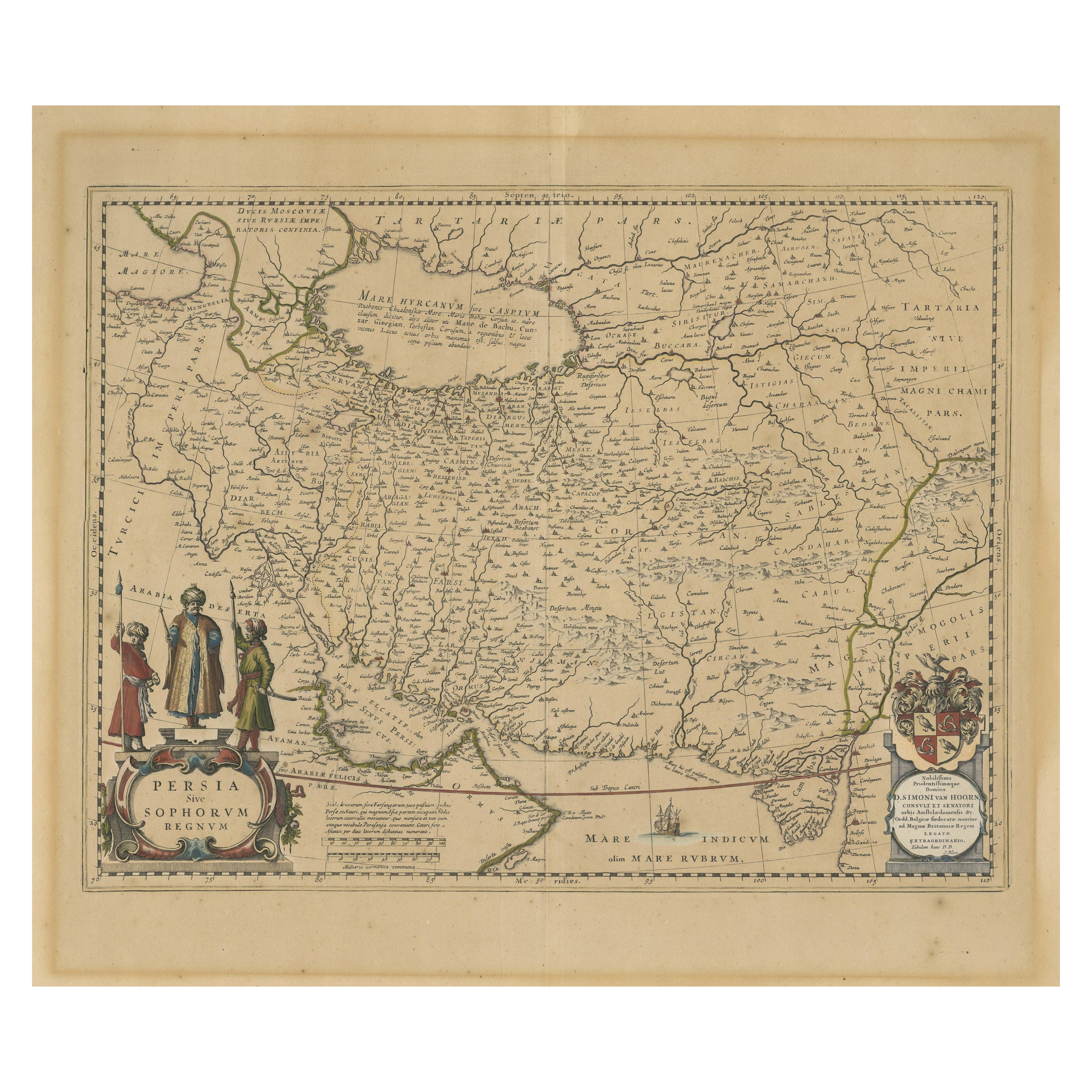
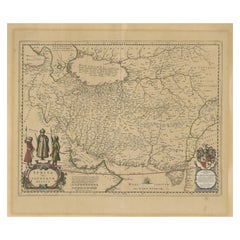
- Antique Map of Persia, Also Showing the Indus River, circa 1673By Joan (Johannes) BlaeuLocated in Langweer, NLAntique map titled 'Persia sive Sophorum Regnum'. Original old map of Persia. The map extends from the Eastern Mediterranean to Tacalistan and the Indus River and the Dalanguer Mount...Category
Antique Late 17th Century Maps
MaterialsPaper


You May Also Like
- Original Antique Map of Belgium by Tallis, Circa 1850Located in St Annes, LancashireGreat map of Belgium Steel engraving Many lovely vignettes Published by London Printing & Publishing Co. ( Formerly Tallis ), C.1850 Origin...Category
Antique 1850s English Maps
MaterialsPaper
- Original Antique Map of South America, circa 1830Located in St Annes, LancashireGreat map of South America Copper plate engraving Published by Butterworth, Livesey & Co., circa 1830 Unframed.Category
Antique Early 1800s English Other Maps
MaterialsPaper
- Original Antique Map / City Plan of Brussels by Tallis, circa 1850Located in St Annes, LancashireGreat map of Brussels. Steel engraving. Published by London Printing & Publishing Co. (Formerly Tallis), C.1850 Free shipping.Category
Antique 1850s English Maps
MaterialsPaper
- Antique Map of Italy by Andriveau-Goujon, 1843By Andriveau-GoujonLocated in New York, NYAntique Map of Italy by Andriveau-Goujon, 1843. Map of Italy in two parts by Andriveau-Goujon for the Library of Prince Carini at Palazzo Carini i...Category
Antique 1840s French Maps
MaterialsLinen, Paper
- Antique Map of Principality of MonacoBy Antonio Vallardi EditoreLocated in Alessandria, PiemonteST/619 - "Old Geographical Atlas of Italy - Topographic map of ex-Principality of Monaco" - ediz Vallardi - Milano - A somewhat special edition ---Category
Antique Late 19th Century Italian Other Prints
MaterialsPaper
- Original Antique Map of Russia By Arrowsmith. 1820Located in St Annes, LancashireGreat map of Russia Drawn under the direction of Arrowsmith Copper-plate engraving Published by Longman, Hurst, Rees, Orme and Brown, 1820 Unframed.Category
Antique 1820s English Maps
MaterialsPaper


