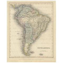
Antique Map of South America by J. Archer, circa 1842
View Similar Items


Want more images or videos?
Request additional images or videos from the seller
1 of 5
Antique Map of South America by J. Archer, circa 1842
About the Item
- Dimensions:Height: 12.72 in (32.3 cm)Width: 10.12 in (25.7 cm)Depth: 0.02 in (0.5 mm)
- Materials and Techniques:
- Period:
- Date of Manufacture:circa 1842
- Condition:Please study image carefully.
- Seller Location:Langweer, NL
- Reference Number:Seller: BG-094661stDibs: LU3054310028711
About the Seller
5.0
Platinum Seller
These expertly vetted sellers are 1stDibs' most experienced sellers and are rated highest by our customers.
Established in 2009
1stDibs seller since 2017
1,914 sales on 1stDibs
More From This SellerView All
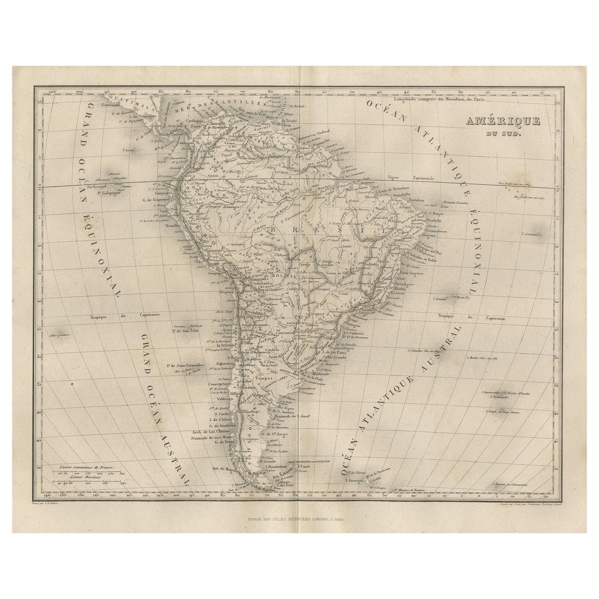
- Antique Map of South America by Lapie '1842'Located in Langweer, NLAntique map titled 'Carte Générale de l'Amérique Meridionale'. Map of South America. This map originates from 'Atlas universel de géographie ancienne et moderne (..)' by Pierre M. La...Category
Antique Mid-19th Century Maps
MaterialsPaper
 $524 Sale Price20% Off
 - Antique Map of North America by Lapie '1842'Located in Langweer, NLAntique map titled 'Carte de l'Amérique septentrionale'. Map of North America, with an inset map of the Aleutian Islands. This map originates from 'Atlas universel de géographie anci...Category
Antique Mid-19th Century Maps
MaterialsPaper
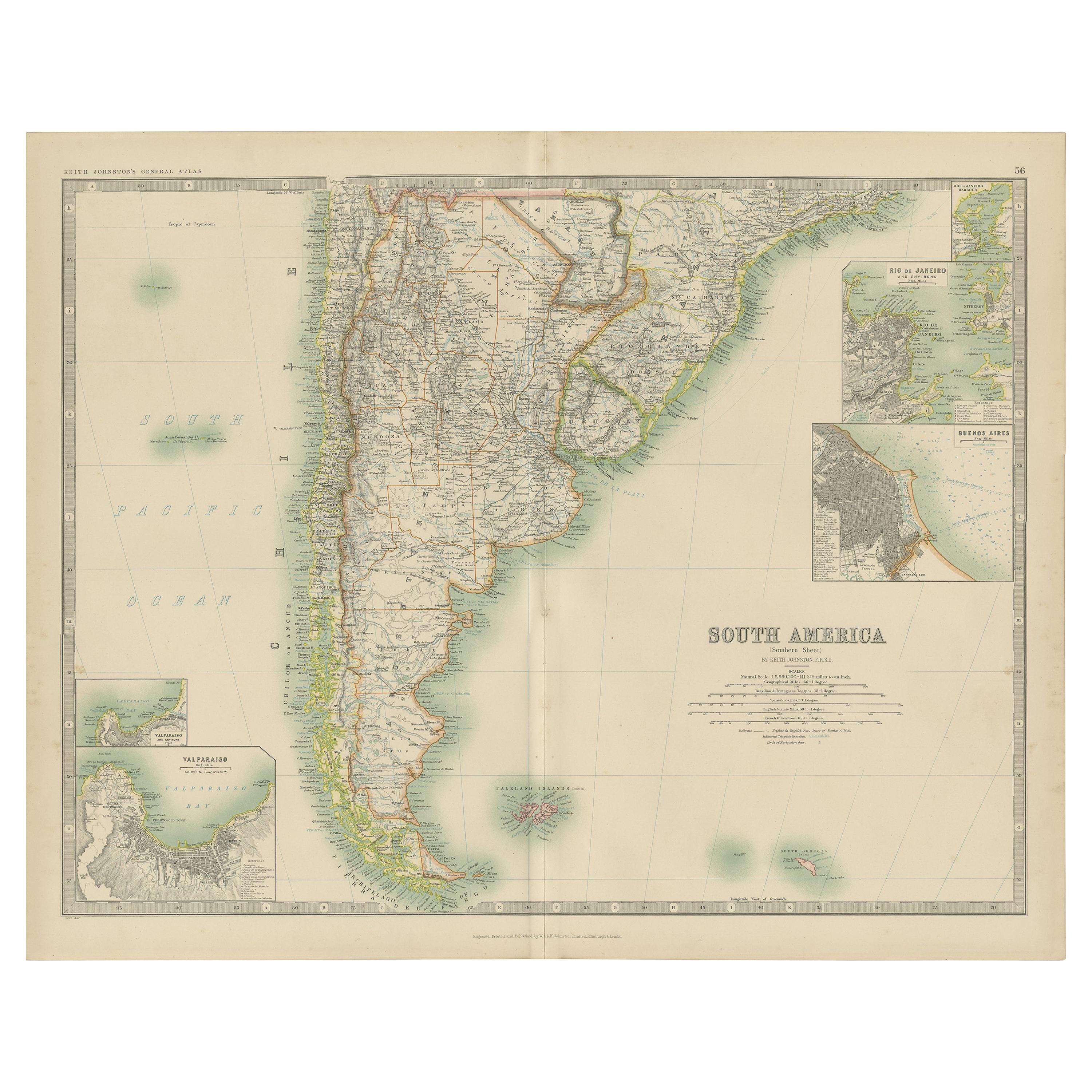
- Antique Map of South America by Dower, ‘circa 1845’Located in Langweer, NLAntique map titled 'South America'. Old map of South America. Published by Orr & Company, Amen Corner, Paternoster Row, London.Category
Antique Mid-19th Century Maps
MaterialsPaper
- Antique Map of South America by Tirion 'circa 1765'Located in Langweer, NLAntique map titled 'Kaart van het Onderkoningschap van Peru, zig uitstrekkende over Chili, Paraguay en andere Spaansche Landen: als ook van Brazil en verdere Bezittingen van Portugal...Category
Antique Mid-18th Century Maps
MaterialsPaper
- Antique Map of Part of South America by Kitchin, circa 1770Located in Langweer, NLAntique map titled 'Carte der Theile der Süd-See (..)'. Map of part of South America including the modern states of Panama, Colombia and Ecuador. Engraved by T. Kitchin, circa 1770.Category
Antique Late 18th Century Maps
MaterialsPaper
- Antique Map of the United States of America by Lapie '1842'Located in Langweer, NLAntique map titled 'Carte des États-Unis d'Amérique'. Map of the United States of America (USA). This map originates from 'Atlas universel...Category
Antique Mid-19th Century Maps
MaterialsPaper
 $524 Sale Price20% Off


You May Also Like
- Original Antique Map of South America, circa 1830Located in St Annes, LancashireGreat map of South America Copper plate engraving Published by Butterworth, Livesey & Co., circa 1830 Unframed.Category
Antique Early 1800s English Other Maps
MaterialsPaper

- Original Antique Map of South America. C.1780Located in St Annes, LancashireGreat map of South America Copper-plate engraving Published C.1780 Two small worm holes to left side of map Unframed.Category
Antique Early 1800s English Georgian Maps
MaterialsPaper

- Original Antique Map of South America by Thomas Clerk, 1817Located in St Annes, LancashireGreat map of South America Copper-plate engraving Drawn and engraved by Thomas Clerk, Edinburgh. Published by Mackenzie And Dent, 1817 Unframed.Category
Antique 1810s English Maps
MaterialsPaper
- Original Antique Map of South East Asia by Becker, circa 1840Located in St Annes, LancashireGreat map of South East Asia Steel engraving with original color outline Engraved by Becker Published by Virtue, circa 1840. Unframed.Category
Antique 1840s English Other Maps
MaterialsPaper
- Original Antique Map of South Africa, Arrowsmith, 1820Located in St Annes, LancashireGreat map of South Africa. Drawn under the direction of Arrowsmith. Copper-plate engraving. Published by Longman, Hurst, Rees, Orme and Br...Category
Antique 1820s English Maps
MaterialsPaper
- Original Antique Map of South East Asia by Thomas Clerk, 1817Located in St Annes, LancashireGreat map of South East Asia Copper-plate engraving Drawn and engraved by Thomas Clerk, Edinburgh. Published by Mackenzie And Dent, 1817 Unframed.Category
Antique 1810s English Maps
MaterialsPaper


