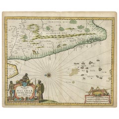
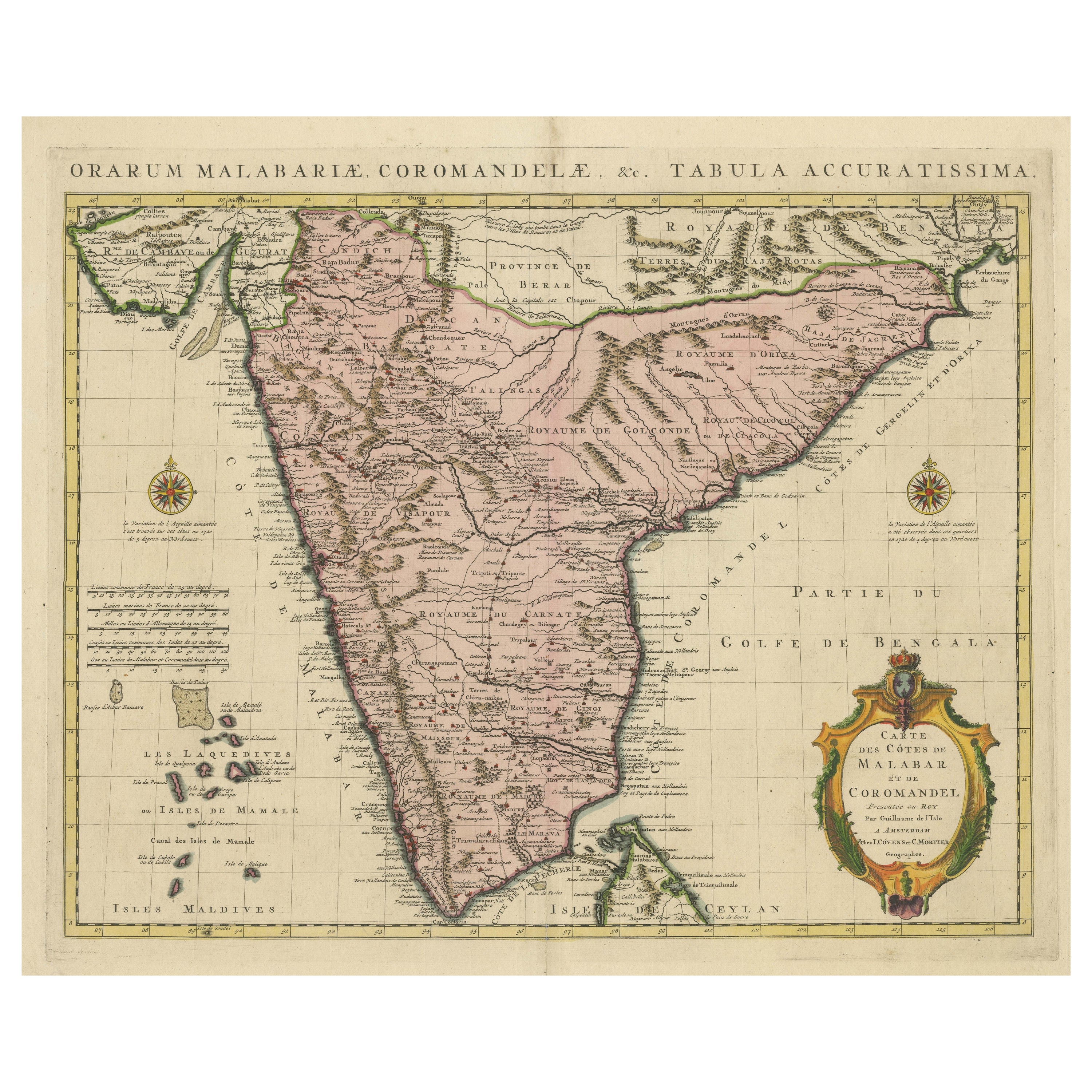
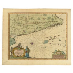
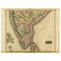
Antique Map of Southern India by Baldaeus, circa 1672
View Similar Items


Want more images or videos?
Request additional images or videos from the seller
1 of 5
Antique Map of Southern India by Baldaeus, circa 1672
About the Item
- Creator:Philip Baldaeus (Artist)
- Dimensions:Height: 12.41 in (31.5 cm)Width: 14.97 in (38 cm)Length: 12.41 in (31.5 cm)
- Period:Late 17th Century
- Date of Manufacture:circa 1672
- Condition:Wear consistent with age and use. Some creasing and marginal tears. General age-related toning, please study images carefully.
- Seller Location:Langweer, NL
- Reference Number:Seller: BG-117871stDibs: LU3054314546732
About the Seller
5.0
Platinum Seller
These expertly vetted sellers are 1stDibs' most experienced sellers and are rated highest by our customers.
Established in 2009
1stDibs seller since 2017
More From This SellerView All
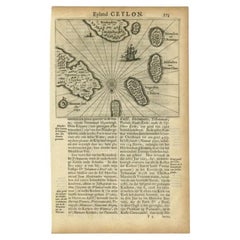
- Antique Map of the Islands Near Ceylon by Baldaeus, 1672By Philip BaldaeusLocated in Langweer, NLAntique print, untitled. This original antique print shows the islands Leyden, Middelburg, Hammenhiel, Bramines, Dona Clara and Deserta near Ceylon / Sri Lanka, with their Dutch name...Category
Antique 17th Century Maps
MaterialsPaper
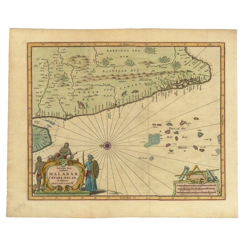
- Antique Map of the Malabar Coast by Baldaeus, 1744By Philip BaldaeusLocated in Langweer, NLAntique map titled 'Descriptio Nova Imperii Malabar (..).' Nice map of the Malabar Coast. This map was published in 'The True and Exact Description of the Most Celebrated East - Indi...Category
Antique 18th Century Maps
MaterialsPaper
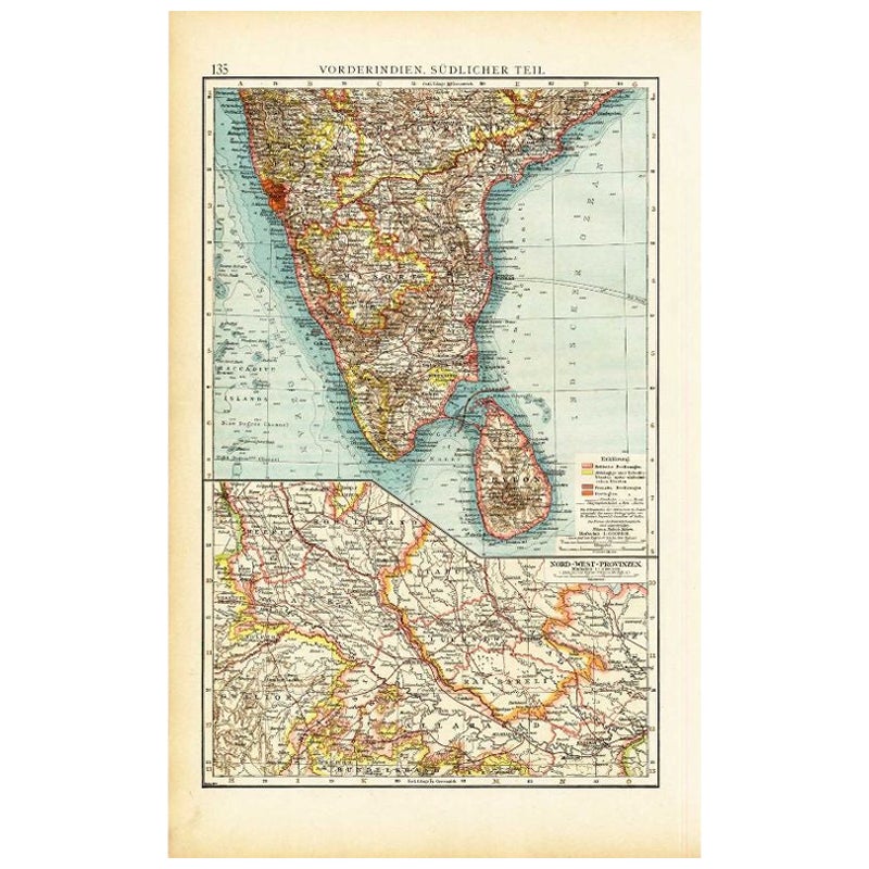
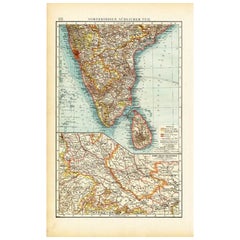
- Antique Map of Southern India by Andree, 1904Located in Langweer, NL"Antique map titled 'Vorderindien, sudlicher Teil'. Map of India, southern part. This map originates from 'Andrees Allgemeiner Handatlas in 126 Haupt-Und 139 Nebenkarten', Bielefeld;...Category
20th Century Maps
MaterialsPaper
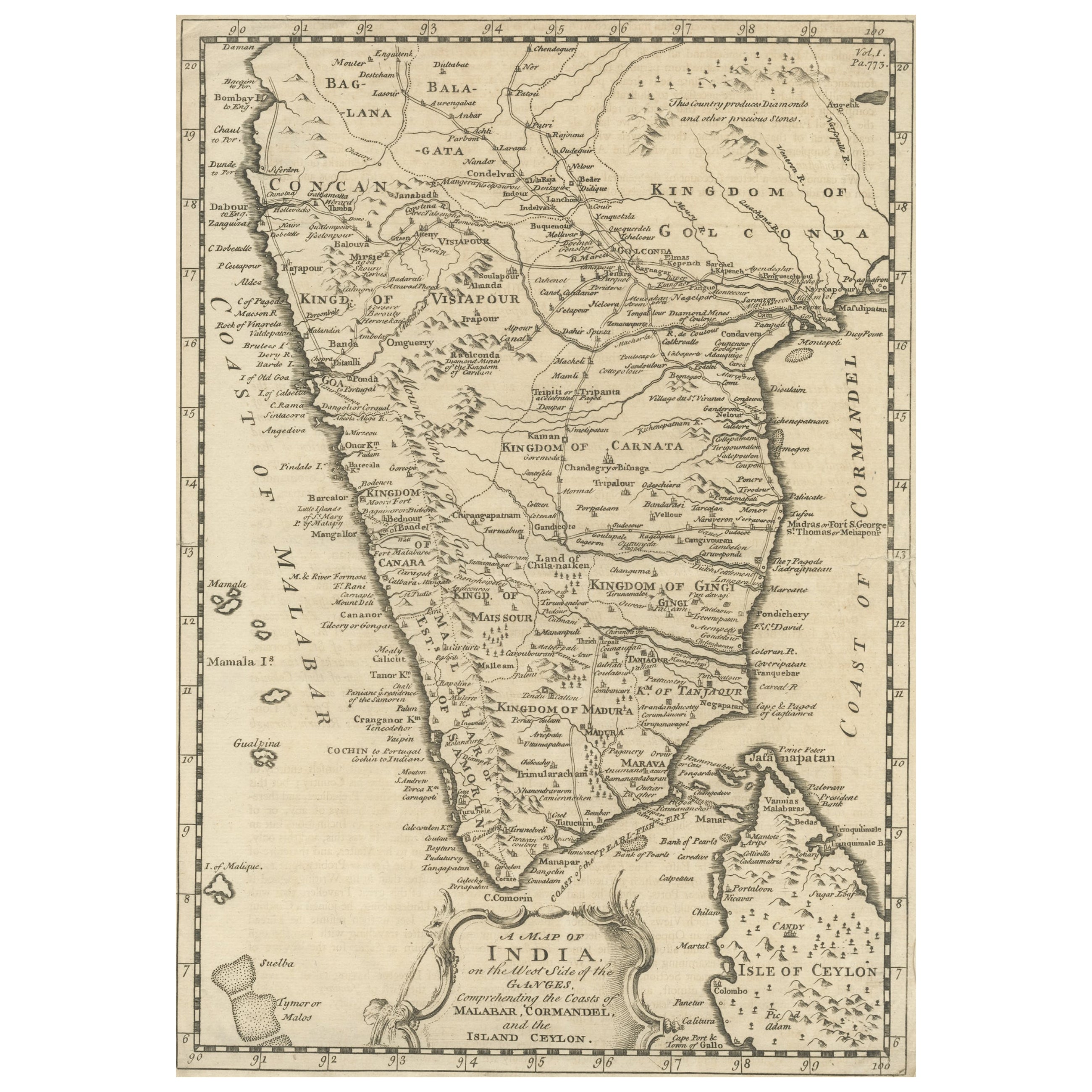
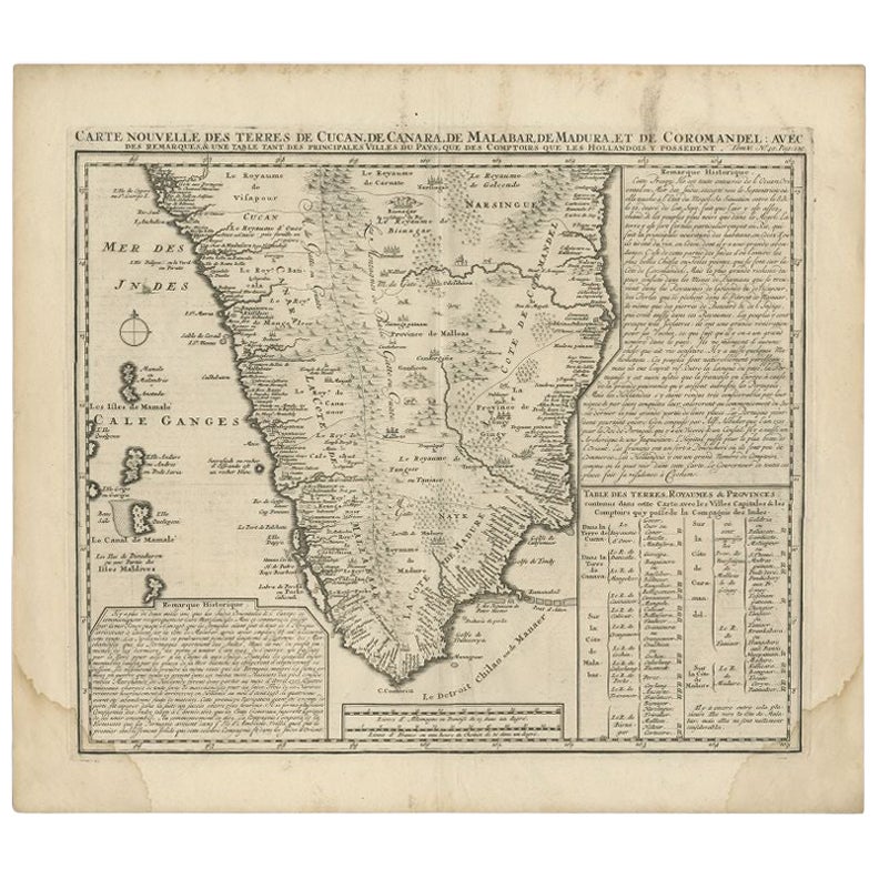
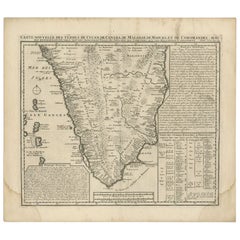
- Antique Map of Southern India by Chatelain, c.1720Located in Langweer, NL"Antique map titled 'Carte Nouvelle des Terres de Cucan, de Canara, de Malabar, de Madura, et de Coromandel'. Map of the southern portion of India, originating from Chatelain's 'Atla...Category
Antique 18th Century Maps
MaterialsPaper
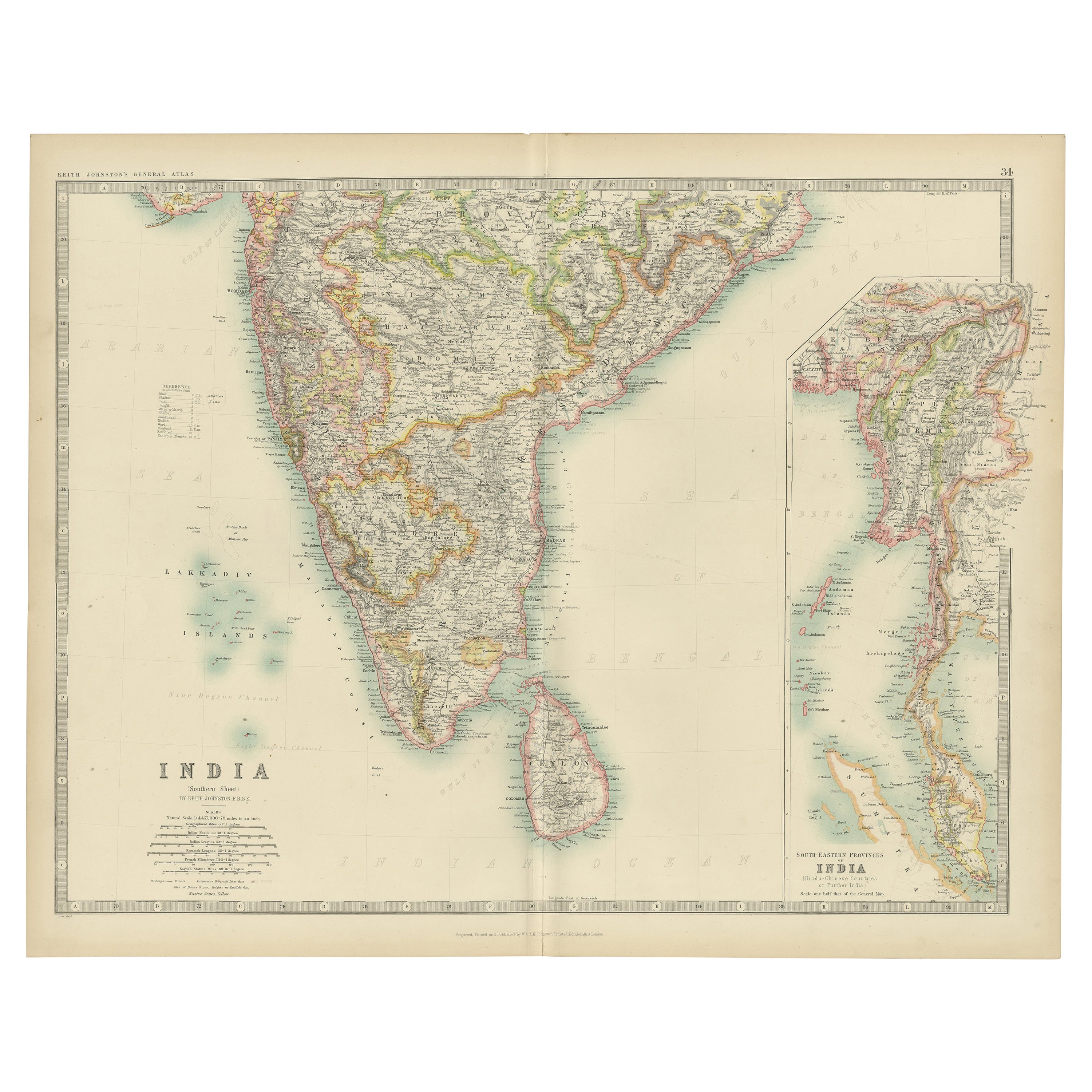
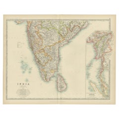
- Antique Map of India ( Southern ) by Johnston (1909)Located in Langweer, NLAntique map titled 'India'. Original antique map of India Southern sheet. With inset maps of south eastern provinces of India. This map originates from the ‘Royal Atlas of Modern Geo...Category
Early 20th Century Maps
MaterialsPaper
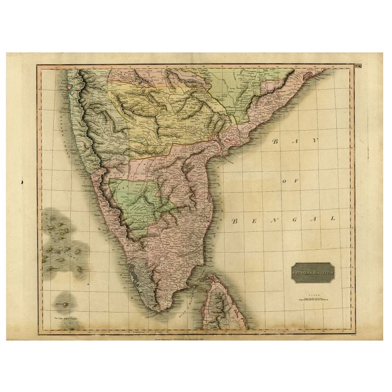
- Antique Map of Southern India and Ceylon by Thomson, 1816Located in Langweer, NL"Antique map titled 'Southern Hindostan'. A map of Southern India and the North of Ceylon. From Thomson's 'New General Atlas', 1816. Artists and Engravers: Engraved by Neele. Arti...Category
Antique 19th Century Maps
MaterialsPaper
You May Also Like
- Large Original Vintage Map of India, circa 1920Located in St Annes, LancashireGreat map of India Original color. Good condition / repair to some minor damage just above Sri Lanka. Shown in the last image. Published by Alexander Gross Unframed.Category
Vintage 1920s English Maps
MaterialsPaper

- Antique French Map of Asia Including China Indoneseia India, 1783Located in Amsterdam, Noord HollandVery nice map of Asia. 1783 Dedie au Roy. Additional information: Country of Manufacturing: Europe Period: 18th century Qing (1661 - 1912) Condition: Overall Condition B (Good Used)...Category
Antique 18th Century European Maps
MaterialsPaper
- Antique 1803 Italian Map of Asia Including China Indoneseia IndiaLocated in Amsterdam, Noord HollandAntique 1803 Italian Map of Asia Including China Indoneseia India Very nice map of Asia. 1803. Additional information: Type: Map Country of Manufacturing: Europe Period: 19th centu...Category
Antique 19th Century European Maps
MaterialsPaper
- Original Antique Map of Belgium by Tallis, Circa 1850Located in St Annes, LancashireGreat map of Belgium Steel engraving Many lovely vignettes Published by London Printing & Publishing Co. ( Formerly Tallis ), C.1850 Origin...Category
Antique 1850s English Maps
MaterialsPaper
- Original Antique Map of Cyprus. Circa 1880Located in St Annes, LancashireGreat map of Cyprus Drawn and Engraved by R.Walker Published W.Mackenzie, London Original colour Unframed.Category
Antique 1880s English Maps
MaterialsPaper

- 18th Century Map of the Southern Balkans by Giovanni Maria CassiniBy Giovanni Maria CassiniLocated in Hamilton, Ontario18th century map by Italian engraver Giovanni Maria Cassini (Italy 1745-1824). Map of the Southern Balkans: Rome. Hand colored and copper engraved print done in the year 1788. It in...Category
Antique 18th Century Italian Maps
MaterialsPaper
 $795 Sale Price36% Off


Recently Viewed
View AllMore Ways To Browse
Goa Furniture
Antique Furniture Goa
Goa Antique Furniture
Antique Furniture In Goa
Malabar Map
Antique Map World
Antique Maps World
Antique World Map World Maps
Antique World Maps
Antique World Maps World Maps
World Map Antique
World Antique Map
Antique World Map
Old Map
Antique Map Of World
French Antique Decorative Collectibles
Map Of World Antique
Antique Maps Of The World