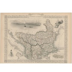
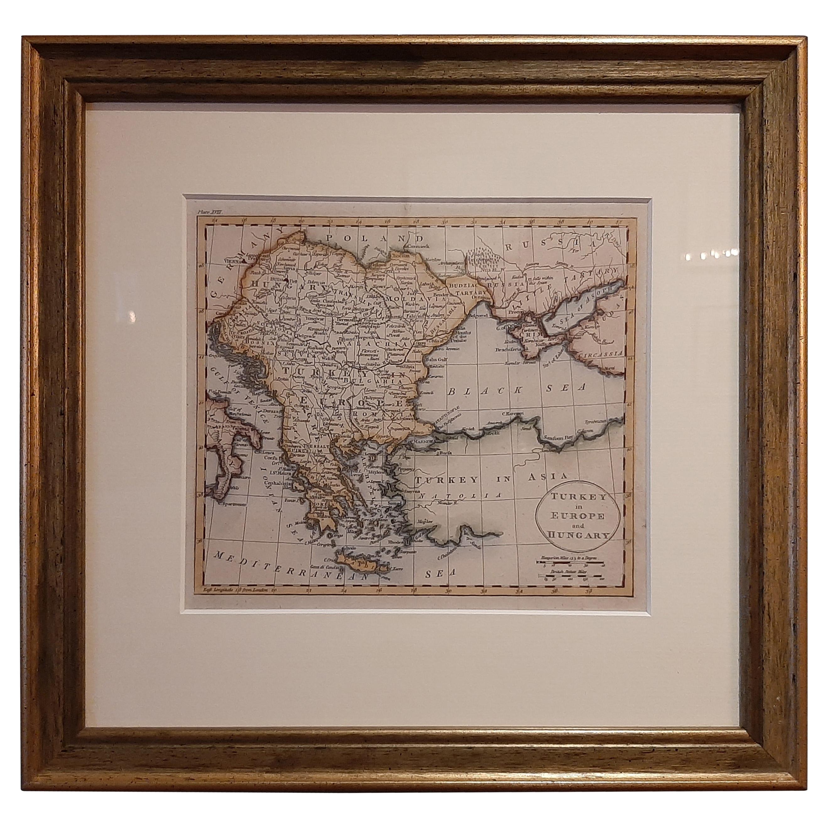
Antique Map of Turkey in Europe by J. Tallis, circa 1851
View Similar Items


Want more images or videos?
Request additional images or videos from the seller
1 of 5
Antique Map of Turkey in Europe by J. Tallis, circa 1851
About the Item
- Dimensions:Height: 10.44 in (26.5 cm)Width: 14.69 in (37.3 cm)Depth: 0.02 in (0.5 mm)
- Materials and Techniques:
- Period:
- Date of Manufacture:circa 1851
- Condition:Please study image carefully.
- Seller Location:Langweer, NL
- Reference Number:Seller: BG-033341stDibs: LU305439345321
About the Seller
5.0
Platinum Seller
These expertly vetted sellers are 1stDibs' most experienced sellers and are rated highest by our customers.
Established in 2009
1stDibs seller since 2017
More From This SellerView All
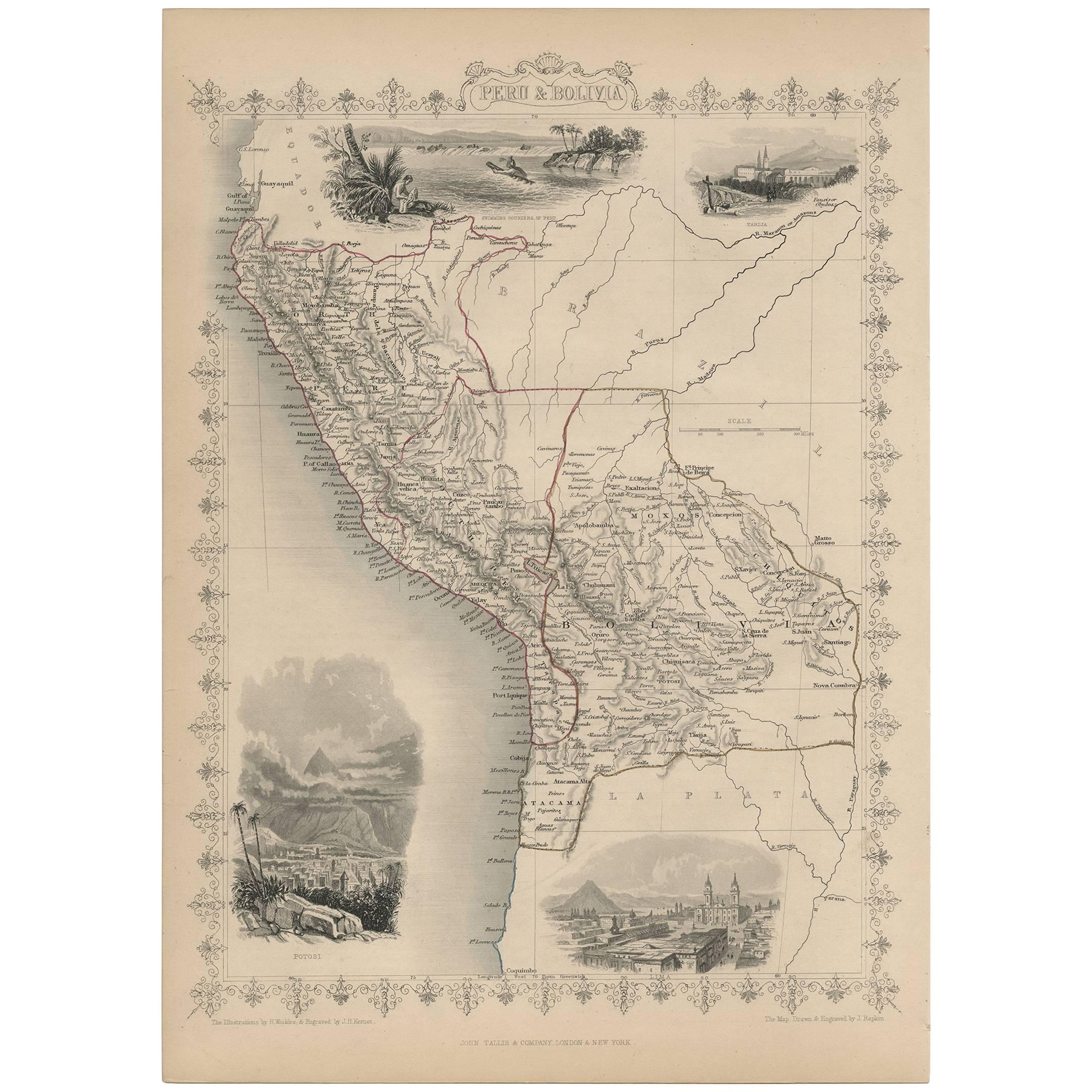
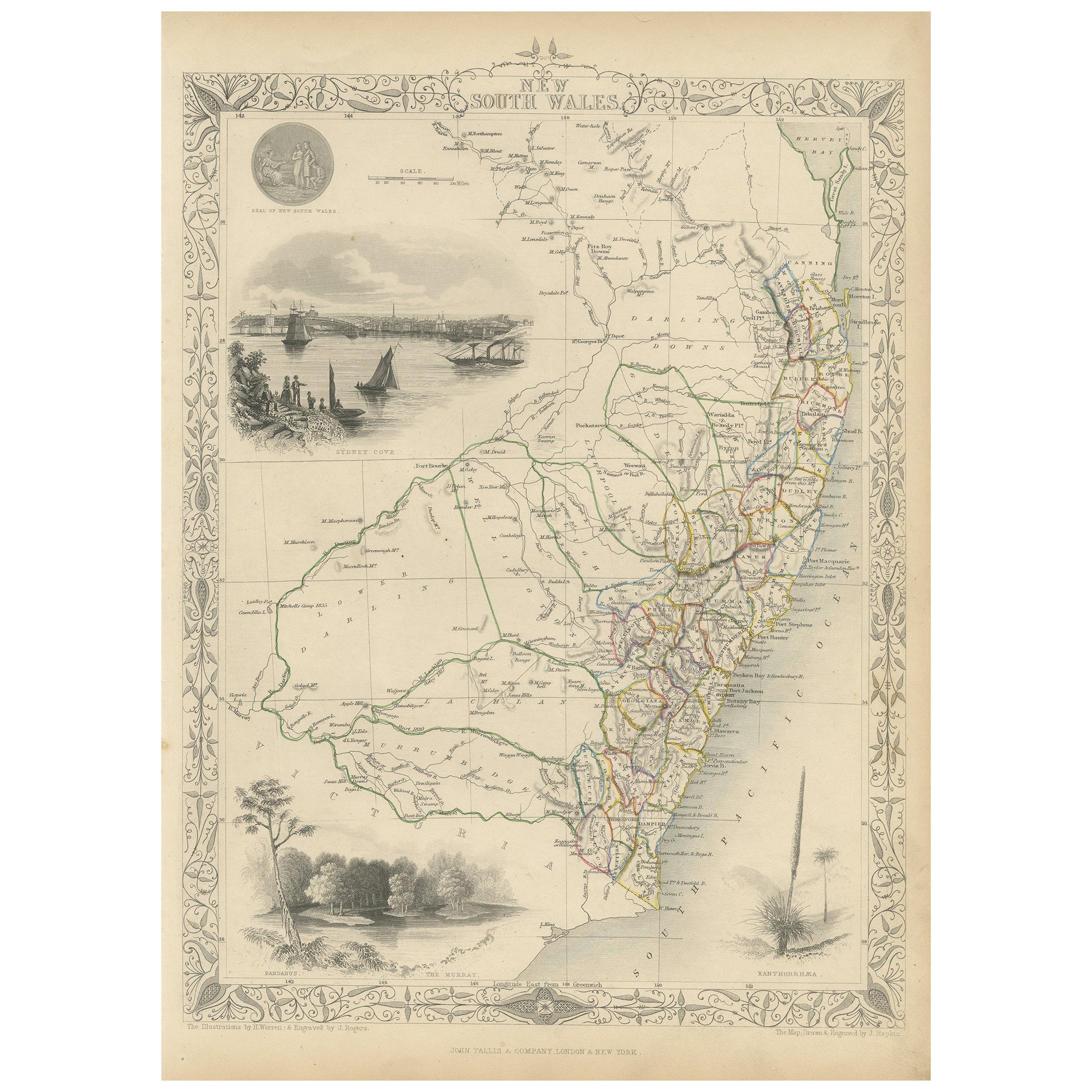
- Antique Map of Turkey in Asia by J. Tallis, circa 1851Located in Langweer, NLA highly decorative and finely engraved mid-19th century map of 'Turkey in Asia' (Middle Eastern part of the Ottoman Empire) which was engraved by J. Rapkin (vignettes by H. Warren &...Category
Antique Mid-19th Century Maps
MaterialsPaper
 $239 Sale Price20% Off
 - Antique Map of Russia in Europe by Tallis, '1851'Located in Langweer, NLAntique map titled 'Russia in Europe'. Map of European Russia. Showing vignettes of the Neoskoi Prospect, St. Petersburg, Polish Captives on their way to Siberia, a Russian Bear...Category
Antique Mid-19th Century Maps
MaterialsPaper
- Antique Map of Belgium by J. Tallis, circa 1851Located in Langweer, NLA highly decorative and detailed mid-19th century map of Belgium which was drawn and engraved by J. Rapkin (vignettes by J. Marchant and J. B. Allen) an...Category
Antique Mid-19th Century Maps
MaterialsPaper
 $163 Sale Price40% Off
 - Antique Map of Switzerland by J. Tallis, circa 1851Located in Langweer, NLA decorative and detailed mid-19th century map of Switzerland which was drawn and engraved by J. Rapkin (vignettes by A. H. Wray & J. B. Allen) and published in John Tallis's Illustr...Category
Antique Mid-19th Century Maps
MaterialsPaper
 $217 Sale Price27% Off
 - Antique Map of Asia Minor by J. Tallis, circa 1851Located in Langweer, NLA highly decorative mid-19th century map of 'Asia Minor' (modern day Turkey) which was drawn and engraved by J. Rapkin and published in John Tallis's Illust...Category
Antique Mid-19th Century Maps
MaterialsPaper
 $194 Sale Price34% Off
 - Antique Map of Northern Italy by J. Tallis, circa 1851Located in Langweer, NLA highly decorative mid-19th century map of Northern Italy which was drawn and engraved by John Rapkin (vignettes by A. H. Wray & J. B. Allen) and published in John Tallis & co.'s Th...Category
Antique Mid-19th Century Maps
MaterialsPaper


You May Also Like
- Original Antique Map of Belgium by Tallis, Circa 1850Located in St Annes, LancashireGreat map of Belgium Steel engraving Many lovely vignettes Published by London Printing & Publishing Co. ( Formerly Tallis ), C.1850 Origin...Category
Antique 1850s English Maps
MaterialsPaper
- Original Antique Map / City Plan of Brussels by Tallis, circa 1850Located in St Annes, LancashireGreat map of Brussels. Steel engraving. Published by London Printing & Publishing Co. (Formerly Tallis), C.1850 Free shipping.Category
Antique 1850s English Maps
MaterialsPaper
- "San Francisco, Upper California” 1851 Antique Map of San FranciscoLocated in Colorado Springs, COThis is a pictorial lettersheet view of the city and harbor of San Francisco. This lithograph was printed on grey wove paper, across a double sheet, by famed lithographers Britton & ...Category
Antique 1850s American Prints
MaterialsPaper
 $1,200 Sale Price20% Off
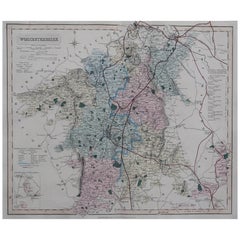
 - Original Antique English County Map, Worcestershire, J & C Walker, 1851Located in St Annes, LancashireGreat map of Worcestershire Original colour By J & C Walker Published by Longman, Rees, Orme, Brown & Co. 1851 Unframed.Category
Antique 1850s English Other Maps
MaterialsPaper
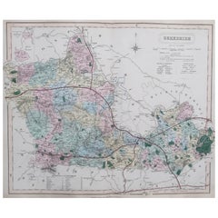
- Original Antique English County Map, Hampshire, J & C Walker, 1851Located in St Annes, LancashireGreat map of Hampshire Original colour By J & C Walker Published by Longman, Rees, Orme, Brown & Co. 1851 Unframed.Category
Antique 1850s English Other Maps
MaterialsPaper
- Original Antique English County Map, Berkshire. J & C Walker, 1851Located in St Annes, LancashireGreat map of Berkshire Original colour By J & C Walker Published by Longman, Rees, Orme, Brown & Co. 1851 Unframed.Category
Antique 1850s English Other Maps
MaterialsPaper