Items Similar to Antique Map of Victoria, or Port Phillip in Australia, ca. 1850


Want more images or videos?
Request additional images or videos from the seller
1 of 7
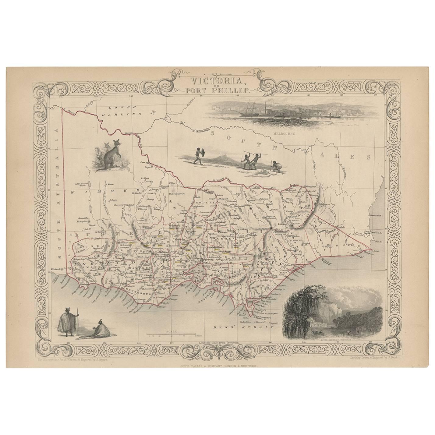
Antique Map of Victoria, or Port Phillip in Australia, ca. 1850
About the Item
This antique map, measuring approximately 12.7 x 10.0 inches, showcases Victoria, specifically centered around Melbourne, Australia. Crafted by John Tallis around 1850, this map is part of the Illustrated Atlas and Modern History of the World.
Noteworthy for its superb detailing, the map features vignettes highlighting the cultural and natural essence of the region. It includes depictions of Aborigines, a kangaroo, and a striking view of Melbourne across the water. The latter portrays a bustling scene with a sailing ship and two early steamships navigating the foreground.
Offering historical and geographical insights, this map serves as a valuable artifact, portraying the landscape and cultural elements of Victoria during the mid-19th century. It's available for purchase, providing a chance to own a piece of history with worldwide free shipping.
- Dimensions:Height: 10 in (25.4 cm)Width: 12.7 in (32.26 cm)Depth: 0.002 in (0.06 mm)
- Materials and Techniques:
- Place of Origin:
- Period:
- Date of Manufacture:1850
- Condition:Very good condition. Minor soiling due to age and handling. Study image carefully.
- Seller Location:Langweer, NL
- Reference Number:
About the Seller
5.0
Platinum Seller
These expertly vetted sellers are 1stDibs' most experienced sellers and are rated highest by our customers.
Established in 2009
1stDibs seller since 2017
1,909 sales on 1stDibs
Typical response time: <1 hour
- ShippingRetrieving quote...Ships From: Langweer, Netherlands
- Return PolicyA return for this item may be initiated within 14 days of delivery.
More From This SellerView All
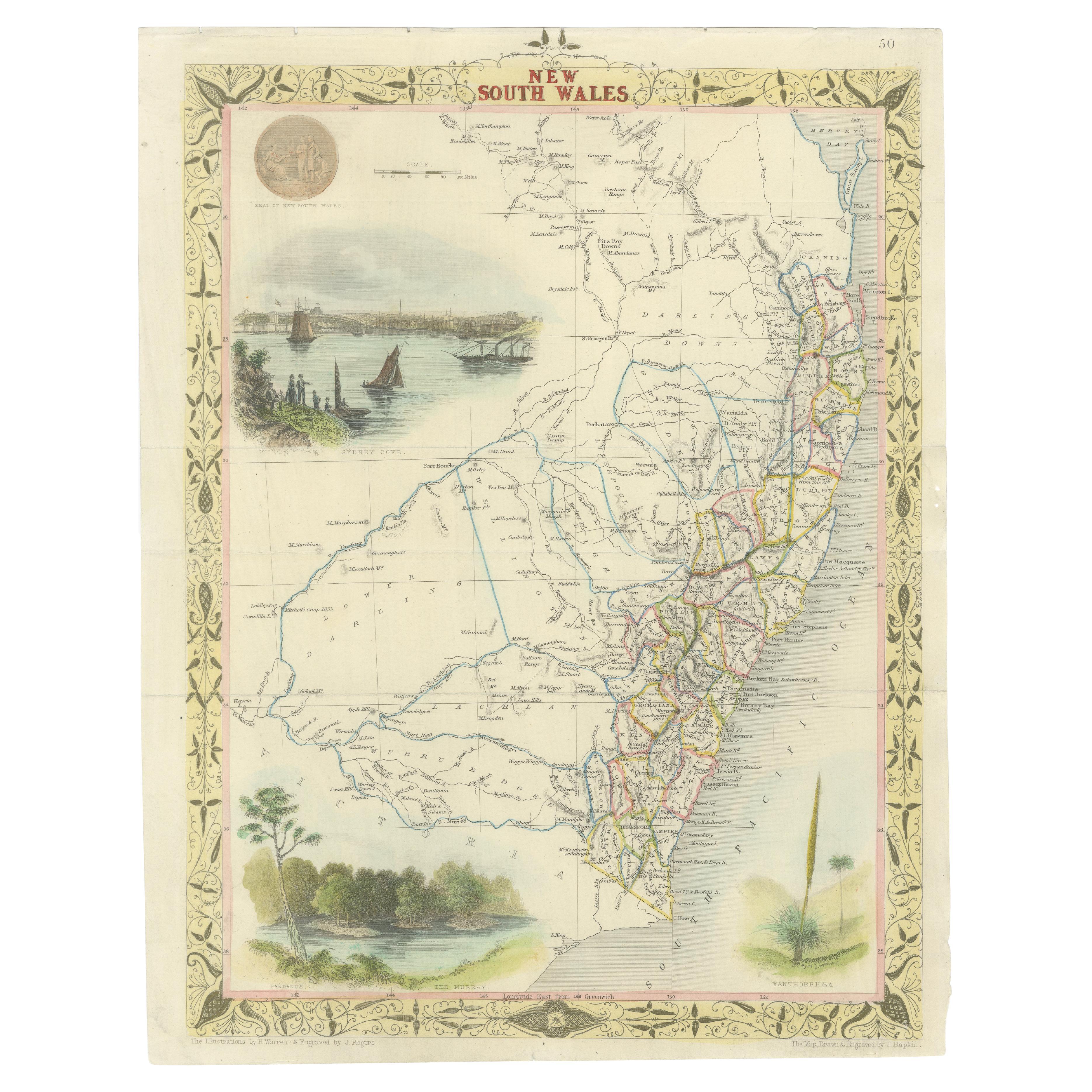
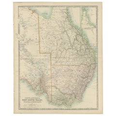
- Antique Map of New South Wales in Australia, ca. 1850Located in Langweer, NLAntique map of Victoria, or Port Phillip (12.7 x 10.0") in Australia. Superb map of Victoria roughly centered on Melbourne. Vignettes of Aborigines, a ...Category
Antique Mid-19th Century European Maps
MaterialsPaper
- Antique Map of Victoria ‘Australia’ by J. Tallis, circa 1855Located in Langweer, NLA highly decorative and finely engraved mid-19th century map of Victoria, Australia which appeared in John Tallis & co.'s The Illustrated Atlas (London...Category
Antique Mid-19th Century Maps
MaterialsPaper
- Antique Map of Southeastern Australia by F. von Stülpnagel, 1850Located in Langweer, NLAntique map titled 'Süd-Östlichen Australien'. Map of southeastern Australia with inset maps of southwest Australia and Tasmania compiled by the military cartographer Friedrich von S...Category
Antique Mid-19th Century Maps
MaterialsPaper
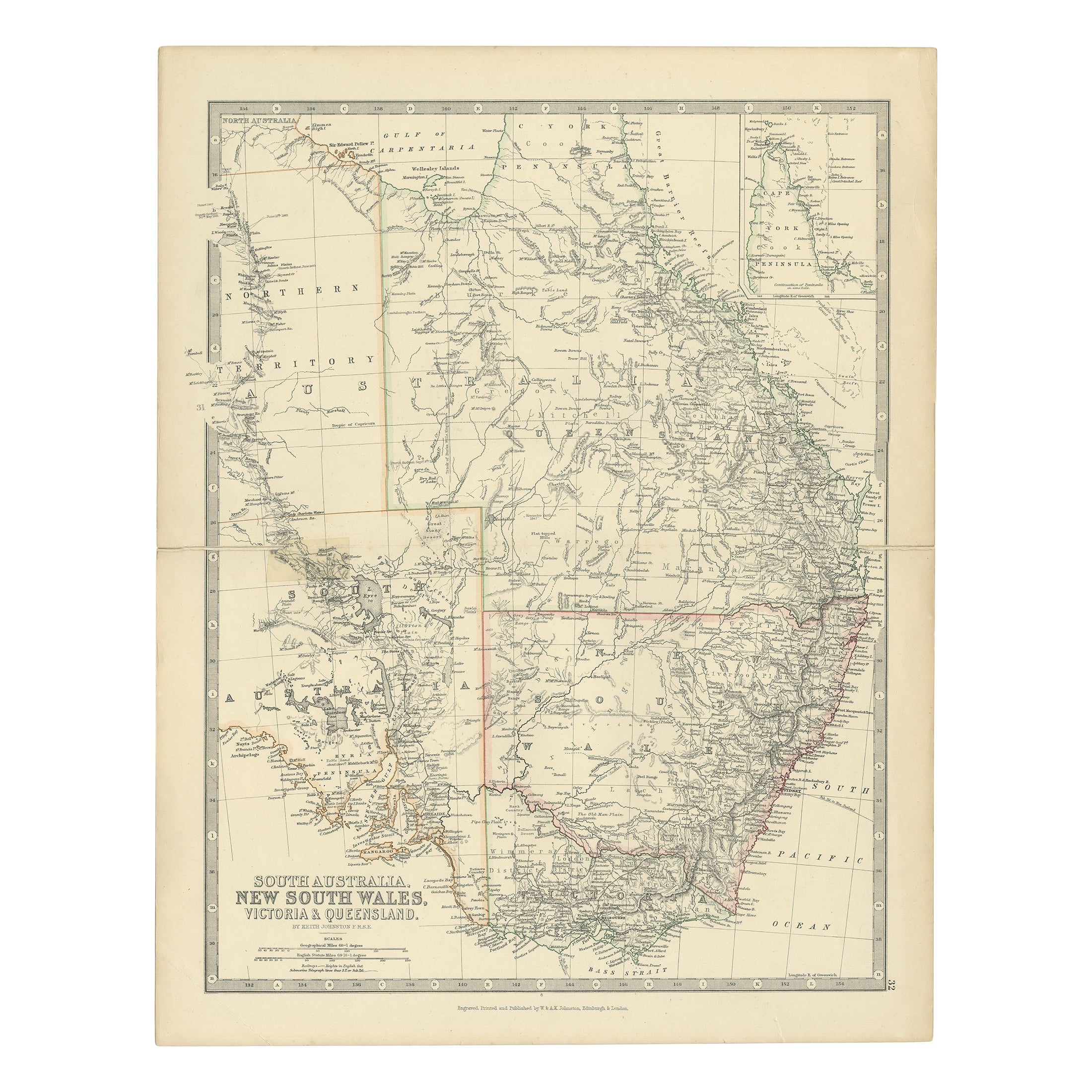
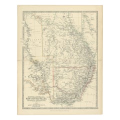
- Antique Detailed Map of New South Wales, Queensland & Victoria, Australia, 1865Located in Langweer, NLAntique map Australia titled 'South Australia, New South Wales, Victoria & Queensland'. Old map depicting South Australia including New South Wal...Category
Antique 19th Century Maps
MaterialsPaper
- Antique Map of Australia and surrounding Islands by F. von Stülpnagel, 1850Located in Langweer, NLAntique map titled 'Festland von Asutralien und benachbarte Inseln'. Map showing Australia, New Zealand, Southern New-Guinea and surrounding islands. This map originates from Stieler...Category
Antique Mid-19th Century Maps
MaterialsPaper
- Antique Map of South Australia, Victoria, Queensland and New South Wales, c.1860Located in Langweer, NLAntique map Australia titled 'South Australia, New South Wales, Victoria & Queensland'. Old map depicting South Australia including New South Wal...Category
Antique 19th Century Maps
MaterialsPaper


You May Also Like
- Original Antique Map of Belgium by Tallis, Circa 1850Located in St Annes, LancashireGreat map of Belgium Steel engraving Many lovely vignettes Published by London Printing & Publishing Co. ( Formerly Tallis ), C.1850 Origin...Category
Antique 1850s English Maps
MaterialsPaper
- Original Antique Map / City Plan of Brussels by Tallis, circa 1850Located in St Annes, LancashireGreat map of Brussels. Steel engraving. Published by London Printing & Publishing Co. (Formerly Tallis), C.1850 Free shipping.Category
Antique 1850s English Maps
MaterialsPaper
- Antique Map of Principality of MonacoBy Antonio Vallardi EditoreLocated in Alessandria, PiemonteST/619 - "Old Geographical Atlas of Italy - Topographic map of ex-Principality of Monaco" - ediz Vallardi - Milano - A somewhat special edition ---Category
Antique Late 19th Century Italian Other Prints
MaterialsPaper
- Original Antique Map of Asia. C.1780Located in St Annes, LancashireGreat map of Asia Copper-plate engraving Published C.1780 Two small worm holes to right side of map Unframed.Category
Antique Early 1800s English Georgian Maps
MaterialsPaper

- Original Antique Map of Italy. C.1780Located in St Annes, LancashireGreat map of Italy Copper-plate engraving Published C.1780 Unframed.Category
Antique Early 1800s English Georgian Maps
MaterialsPaper

- Original Antique Map of India. C.1780Located in St Annes, LancashireGreat map of India Copper-plate engraving Published C.1780 Three small worm holes to right side of map and one bottom left corner Unframed.Category
Antique Early 1800s English Georgian Maps
MaterialsPaper


Recently Viewed
View AllMore Ways To Browse
Antique And Modern
Furniture Used Victoria
Used Victoria Furniture
Used Furniture In Victoria
Victoria Antique Furniture
Used Victoria Antiques
Antique Australia
Australian Antiques
European Mid Century Port
Used Victoria Furniture Antiques
Used Victoria Antique Furniture
Australia 19th Century
Large Map Of The World
Australian Antique Furniture
Antique Sailing Ship
Ship Map
Antique Furniture In Australia
Australia Antique Furniture