Items Similar to Antique Map of Principality of Monaco


Want more images or videos?
Request additional images or videos from the seller
1 of 6
Antique Map of Principality of Monaco
About the Item
ST/619 - "Old Geographical Atlas of Italy - Topographic map of ex-Principality of Monaco" -
ediz Vallardi - Milano -
A somewhat special edition ---
- Creator:Antonio Vallardi Editore (Illustrator)
- Dimensions:Height: 22.84 in (58 cm)Width: 15.75 in (40 cm)Depth: 0.04 in (1 mm)
- Style:Other (In the Style Of)
- Materials and Techniques:Paper,Other
- Place of Origin:
- Period:
- Date of Manufacture:1859
- Condition:
- Seller Location:Alessandria, IT
- Reference Number:1stDibs: LU1379223166852
About the Seller
4.9
Vetted Seller
These experienced sellers undergo a comprehensive evaluation by our team of in-house experts.
Established in 1984
1stDibs seller since 2015
301 sales on 1stDibs
Typical response time: 4 hours
- ShippingRetrieving quote...Ships From: Alessandria, Italy
- Return PolicyThis item cannot be returned.
More From This SellerView All
- Geographical Antique Map of Principality of MonacoBy Bruno SantiniLocated in Alessandria, PiemonteST/609 - Interesting antique color map of Monaco Principality in French language : "Carte qui contient le Principauté de Piémont, le Monferrat et la comté de...Category
Antique Late 18th Century Italian Other Maps
MaterialsPaper
- Old Nautical Map of CorsicaLocated in Alessandria, PiemonteST/556/1 - Old map of Corsica isle, surveyed by Captain Hell, of the French Royal Navy in 1824, engraved and published on 1874, with additions and corre...Category
Antique Early 19th Century English Other Prints
MaterialsPaper
- Old Horizontal Map of EnglandBy TassoLocated in Alessandria, PiemonteST/520 - Old rare Italian map of England, dated 1826-1827 - by Girolamo Tasso, editor in Venise, for the atlas of M.r Le-Sage.Category
Antique Early 19th Century Italian Other Prints
MaterialsPaper
- Map "Estuary- Mouth of the Thames"Located in Alessandria, PiemonteST/426 - Antique French Map of the estuary of the Thames, map dated 1769 - "Mape of the entrance of the Thames. Designed by filing of Navy cards fo...Category
Antique Mid-18th Century French Other Prints
MaterialsPaper
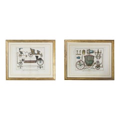
- Couple Prints of Antique CarriagesBy Denis DiderotLocated in Alessandria, PiemonteST/530 - French Horsemanships 1774-1775 engravings by the famous Diderot & D'Alembert Encyclopedie - Paris - They are the only two engravings of carriages in the intere Encyclopedia,...Category
Antique Late 18th Century French Other Prints
MaterialsPaper
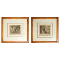
- Pair of Antique Engravings by SadelerLocated in Alessandria, PiemontePair of antique engravings by Johannes Sadeler I (1550-1600) with hand painted Italian frames. Literary work: Guduvaldus - Venezia 1598. From the s...Category
Antique 16th Century Italian Other Prints
MaterialsPaper


You May Also Like
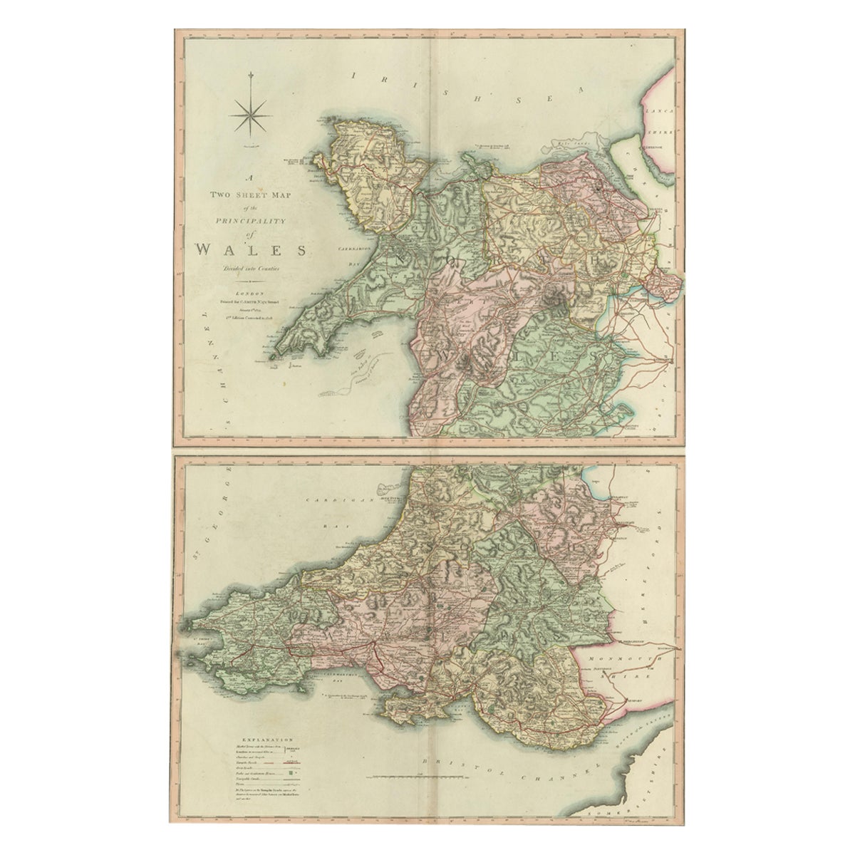
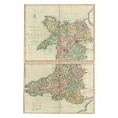
- Two Sheet Map of the Principality of Wales Divided into Counties, 1804Located in Langweer, NLA well engraved and detailed large-scale map of Wales, printed on two sheets . The map is thoroughly detailed and includes good information regarding t...Category
Antique Early 1800s Maps
MaterialsPaper
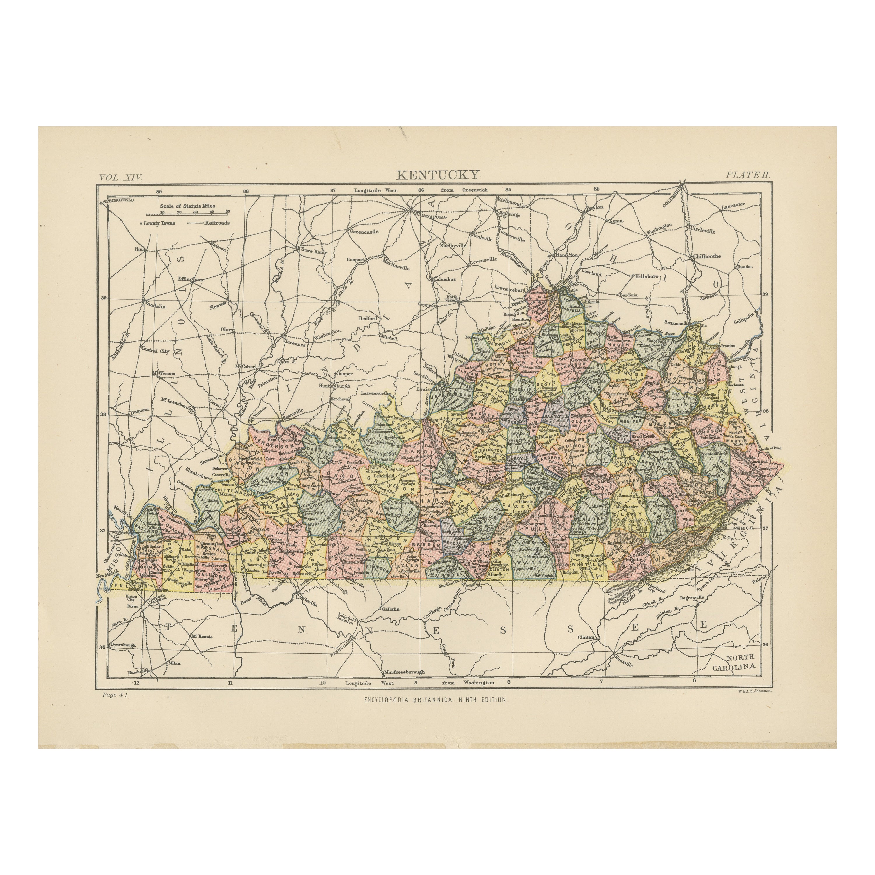
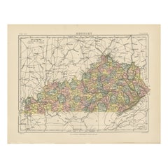
- Antique Map of KentuckyLocated in Langweer, NLAntique map titled 'Kentucky'. Original antique map of Kentucky, United States. This print originates from 'Encyclopaedia Britannica', Ninth E...Category
Antique Late 19th Century Maps
MaterialsPaper
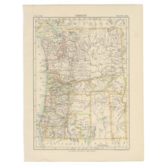
- Antique Map of OregonLocated in Langweer, NLAntique map titled 'Oregon'. Original antique map of Oregon, United States. This print originates from 'Encyclopaedia Britannica', Ninth Edition. Publish...Category
Antique Late 19th Century Maps
MaterialsPaper
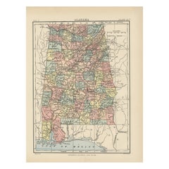
- Antique Map of AlabamaLocated in Langweer, NLAntique map titled 'Alabama'. Original antique map of Alabama, United States. This print originates from 'Encyclopaedia Britannica', Ninth Editi...Category
Antique Late 19th Century Maps
MaterialsPaper
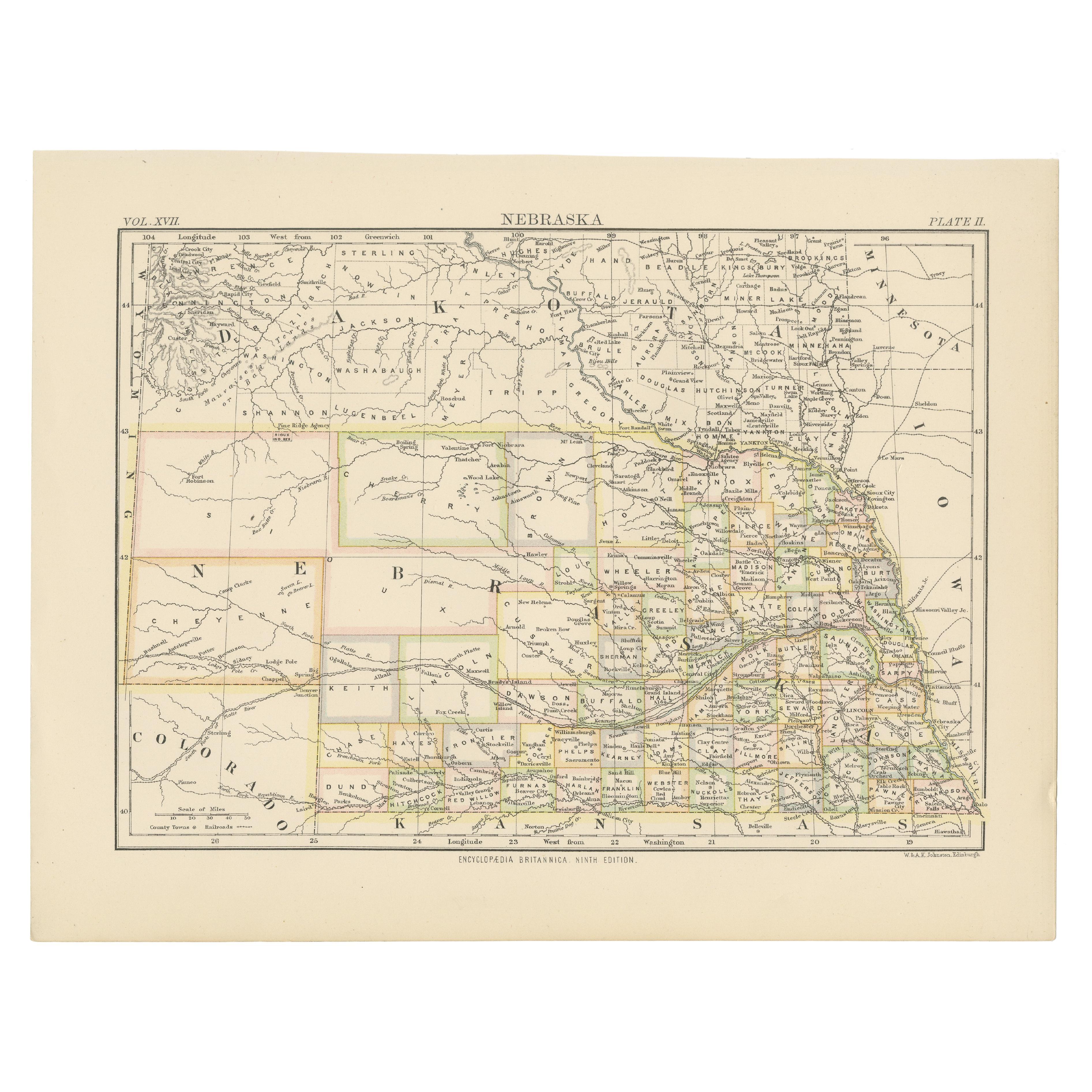
- Antique Map of NebraskaLocated in Langweer, NLAntique map titled 'Nebraska'. Original antique map of Nebraska, United States. This print originates from 'Encyclopaedia Britannica', Ninth Edition. Pu...Category
Antique Late 19th Century Maps
MaterialsPaper
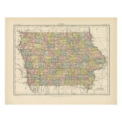
- Antique Map of IowaLocated in Langweer, NLAntique map titled 'Iowa'. Original antique map of Iowa, United States. This print originates from 'Encyclopaedia Britannica', Ninth Edition. Published 188...Category
Antique Late 19th Century Maps
MaterialsPaper

Recently Viewed
View AllMore Ways To Browse
Milano Antique
Jakob van der Schley On Sale
Muramasa Kudo
Munting Botanical Framed
Wild Turkey Audubon
Denton Fish
Cabral Garcia
Atlantic Sturgeon
Anthony Dress Shop
Ernesto Garcia Cabral
Gun Print By Mahler
Inagaki Nenjiro
Orang Utan
Racehorse Engraving
Salvador Dali Divine Comedy E
Kazumi Amano
Hawaiian Framed Mirror
Pour Robie