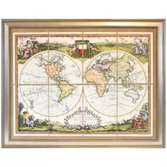
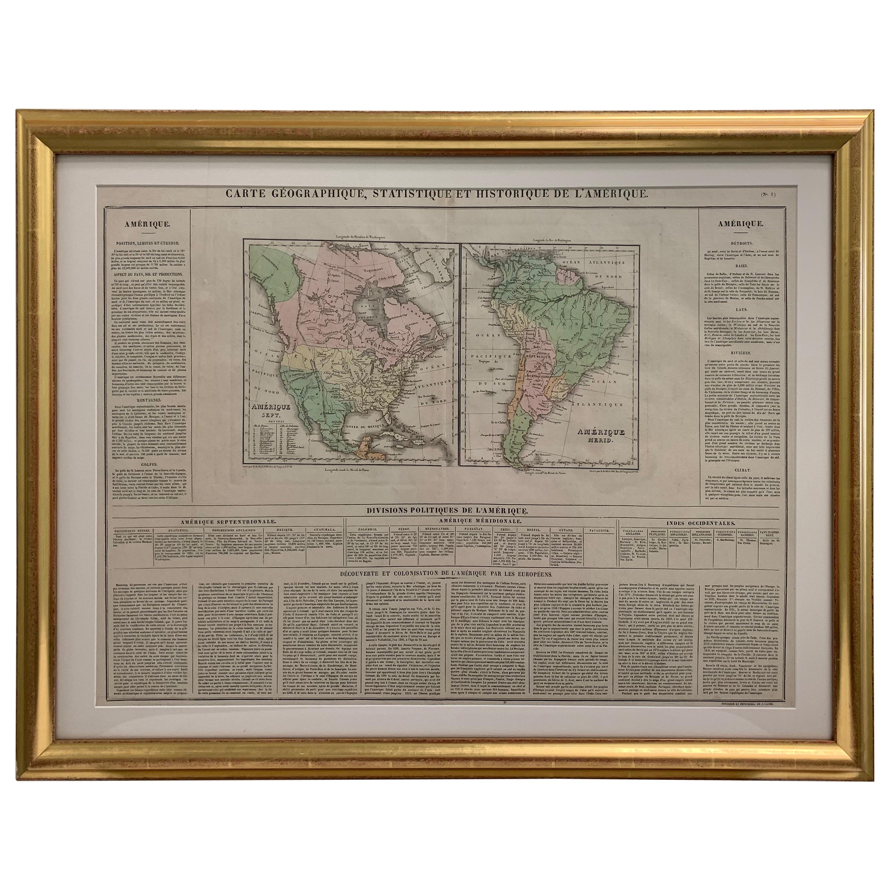
Hand Colored Map of the World
View Similar Items

Want more images or videos?
Request additional images or videos from the seller
1 of 5
Hand Colored Map of the World
About the Item
- Dimensions:Height: 30 in (76.2 cm)Width: 39 in (99.06 cm)Depth: 1 in (2.54 cm)
- Period:
- Date of Manufacture:Unknown
- Condition:
- Seller Location:Norwell, MA
- Reference Number:Seller: 1020180051stDibs: LU1741212626542
About the Seller
5.0
Vetted Seller
These experienced sellers undergo a comprehensive evaluation by our team of in-house experts.
Established in 1967
1stDibs seller since 2015
345 sales on 1stDibs
Typical response time: 2 hours
More From This SellerView All
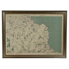
- Map of Harwich, MassachusettsLocated in Norwell, MATurn of the century map of Harwich, Massachusetts. Plate from a Cape Cod County Map book showing the Barnstable county town of Harwich including Allens Harbor, Pleasant Lake, Harwich...Category
20th Century Maps
- 1891 Map of Plymouth County MassLocated in Norwell, MAOriginal 1891 map showing Sandwich, Bourne, Plymouth Carver, Middleborough, Plympton and Kingston. Showing Long Beach in Plymouth also as well as all shore points. Cape Cod Bay is ma...Category
Antique 1890s North American Maps
MaterialsPaper
- Map of Boston and Surrounding TownsLocated in Norwell, MALater copy of a nineteenth century map of Boston and surrounding towns. Showing parts of Quincy, Milton, Hyde Park, Winthrop and Revere. Showing all of B...Category
Antique 19th Century North American Maps
MaterialsPaper
- 1891 Map of Norfolk County MassachusettsLocated in Norwell, MA1891 map of Norfolk county Massachusetts including the towns of Wrentham, Franklin, Medfield, Sherborn, Norwood etc., measures: 23 x 31.Category
Antique 19th Century Maps
- Original 1891 Walker MapLocated in Norwell, MAOriginal 1891 map of Massachusetts by Walker. Towns include Cambridge, Boston, Dedham, Ashland, Brookline, Newton etc... burl wood frame. Measures...Category
Antique 19th Century Maps
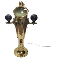
- World War I US Navy Ships BinnacleLocated in Norwell, MASpectacular solid brass ships binnacle by Keuffel and Esser Company of New York in 1918. Builders plate is marked type VII no 1200, Bureau of Navigation, US Navy...Category
Vintage 1910s North American Nautical Objects
MaterialsBrass


You May Also Like
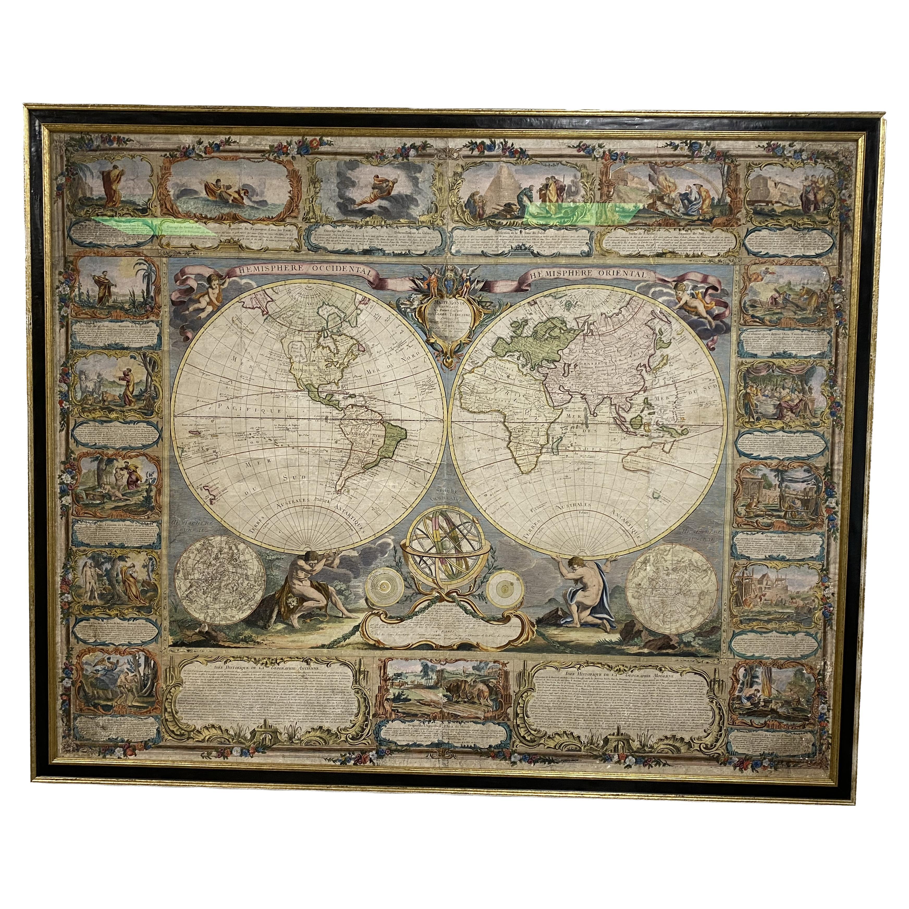
- Colored wall map of the WORLDBy ChambonLocated in ZWIJNDRECHT, NL“Mappe Monde, contenant les Parties Connues du Globe Terrestre” CHAMBON, Gobert-Denis (France, 17.. - 1781) Paris, Longchamps et Janvier, 1754 Size H. 115 x W. 145 cm. Gobert-Denis Chambon made copper engraving after the work of Guillaume De L’Isle, published in 1754 by Jean Janvier and S.G. Longschamps. A huge wall map of the world in two hemispheres printed on two sheets, depicting the Eastern and Western hemispheres supported by two male figures, decorated at the bottom right and left with two celestial hemispheres (boreal and southern) and at the bottom in the middle with an armillary sphere, in addition. This map is most notable for its depiction of the Sea of Japan labeled "Mer de Corée" and of "Mer de L'Ouest" or Sea of the West - a great sea, easily the size of the Mediterranean, to flow from the then-known Strait of Juan de Fuca...Category
Antique Mid-18th Century French French Provincial Maps
MaterialsWood, Paper

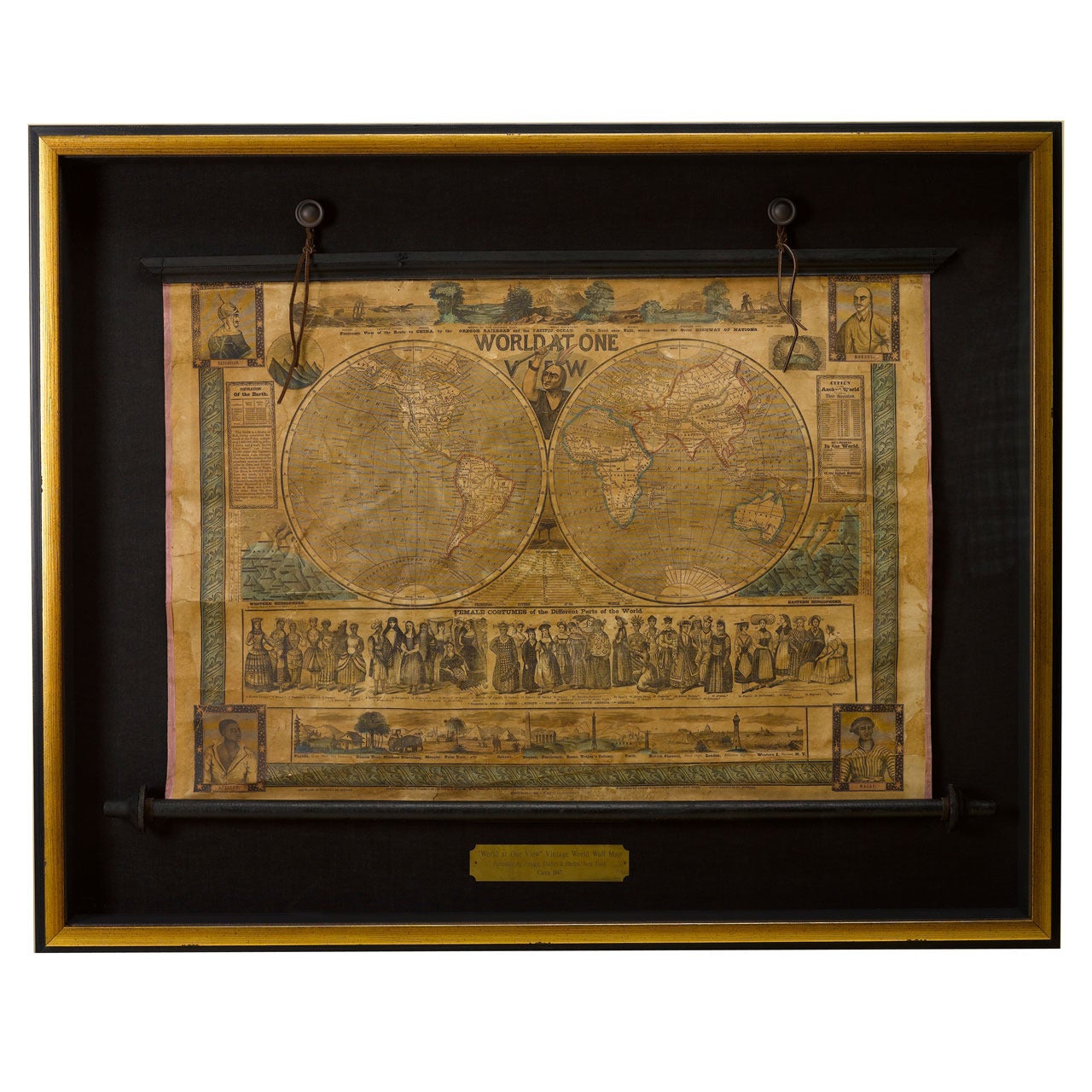
- 1847 “World at One View” Antique Hand-Colored Wall Map of the WorldLocated in Colorado Springs, COThis is a highly desirable hanging wall map of the "World at One View", published in 1847 by Ensign and Thayer, New York. This pictorial map was printed as a broadside and features...Category
Antique 19th Century American Maps
MaterialsPaper
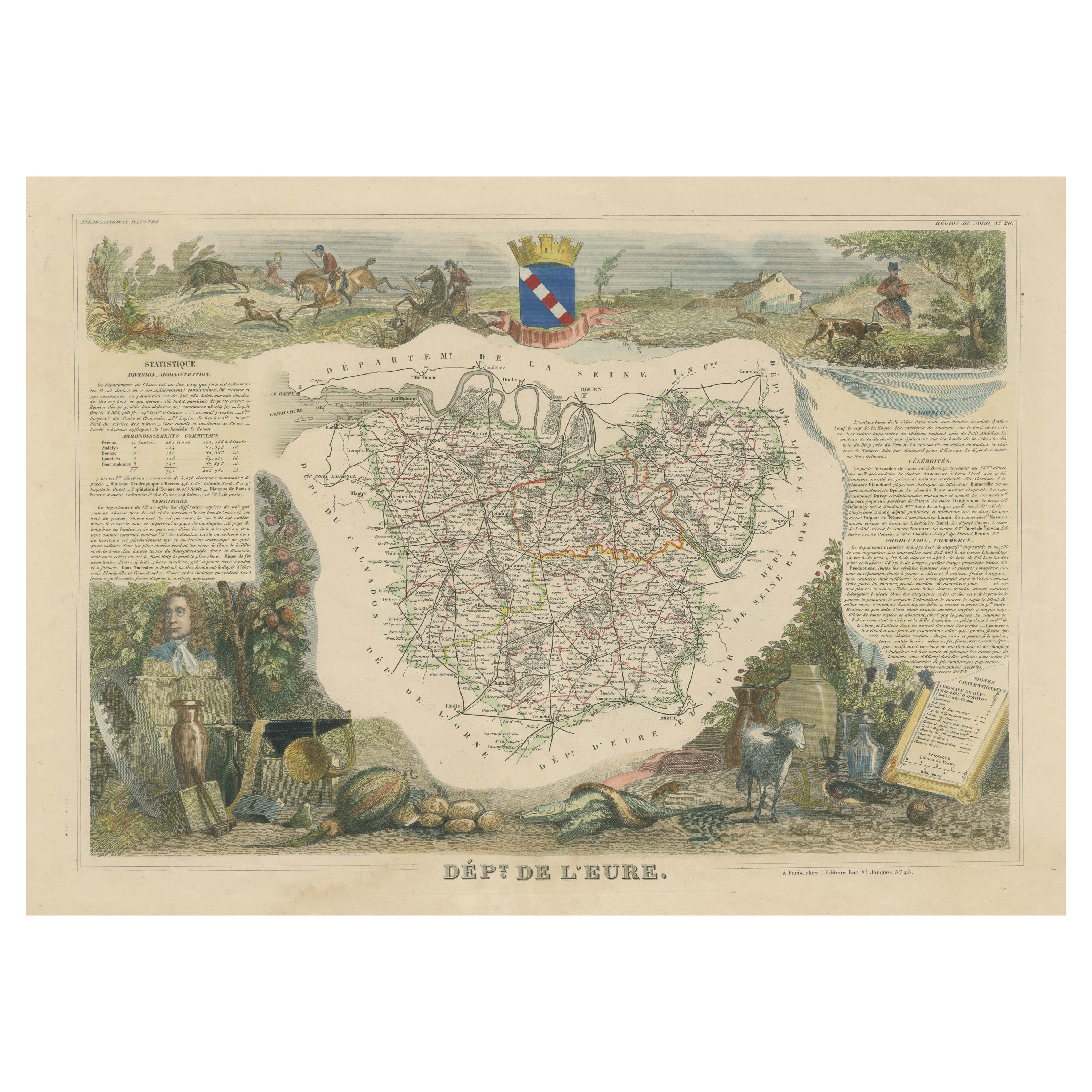
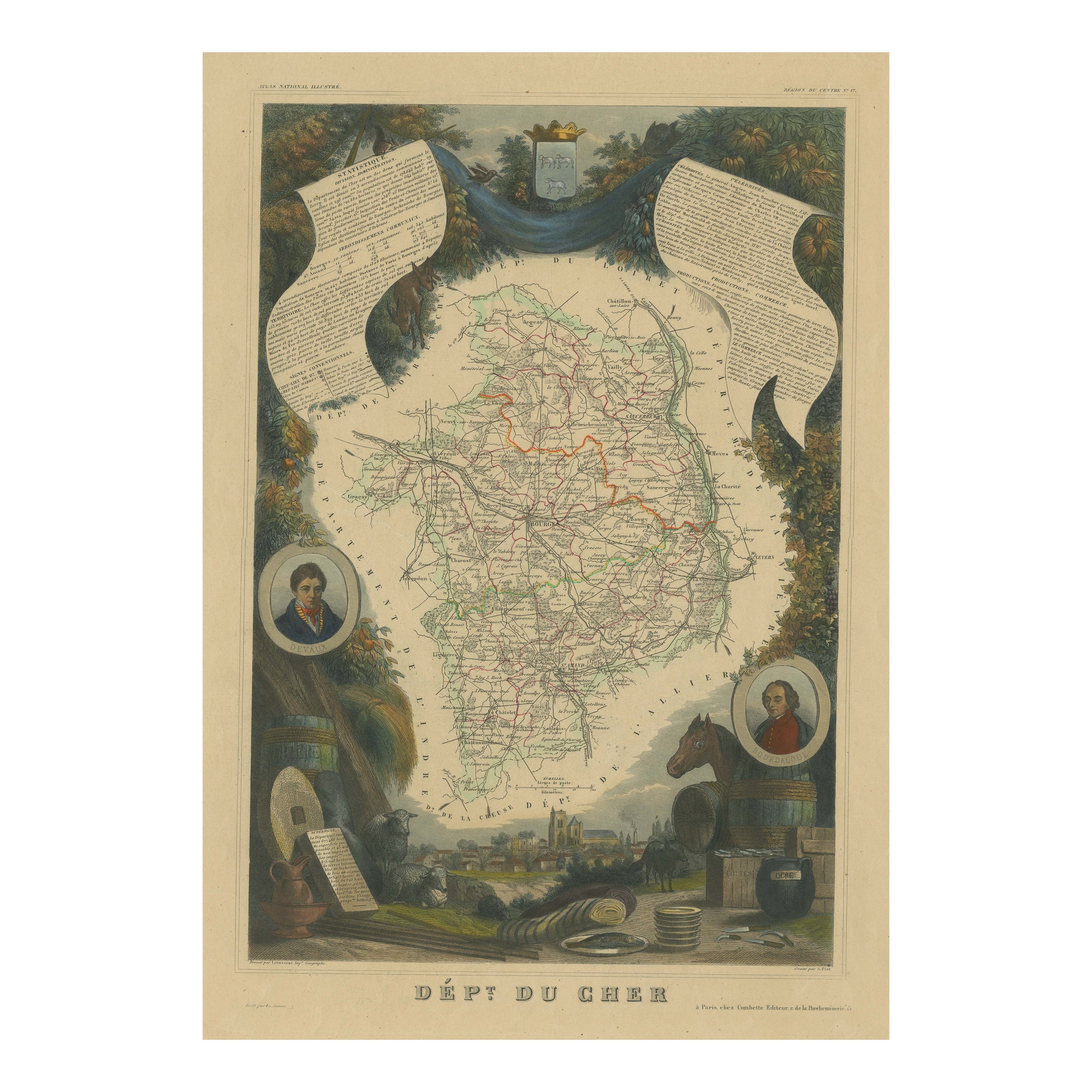
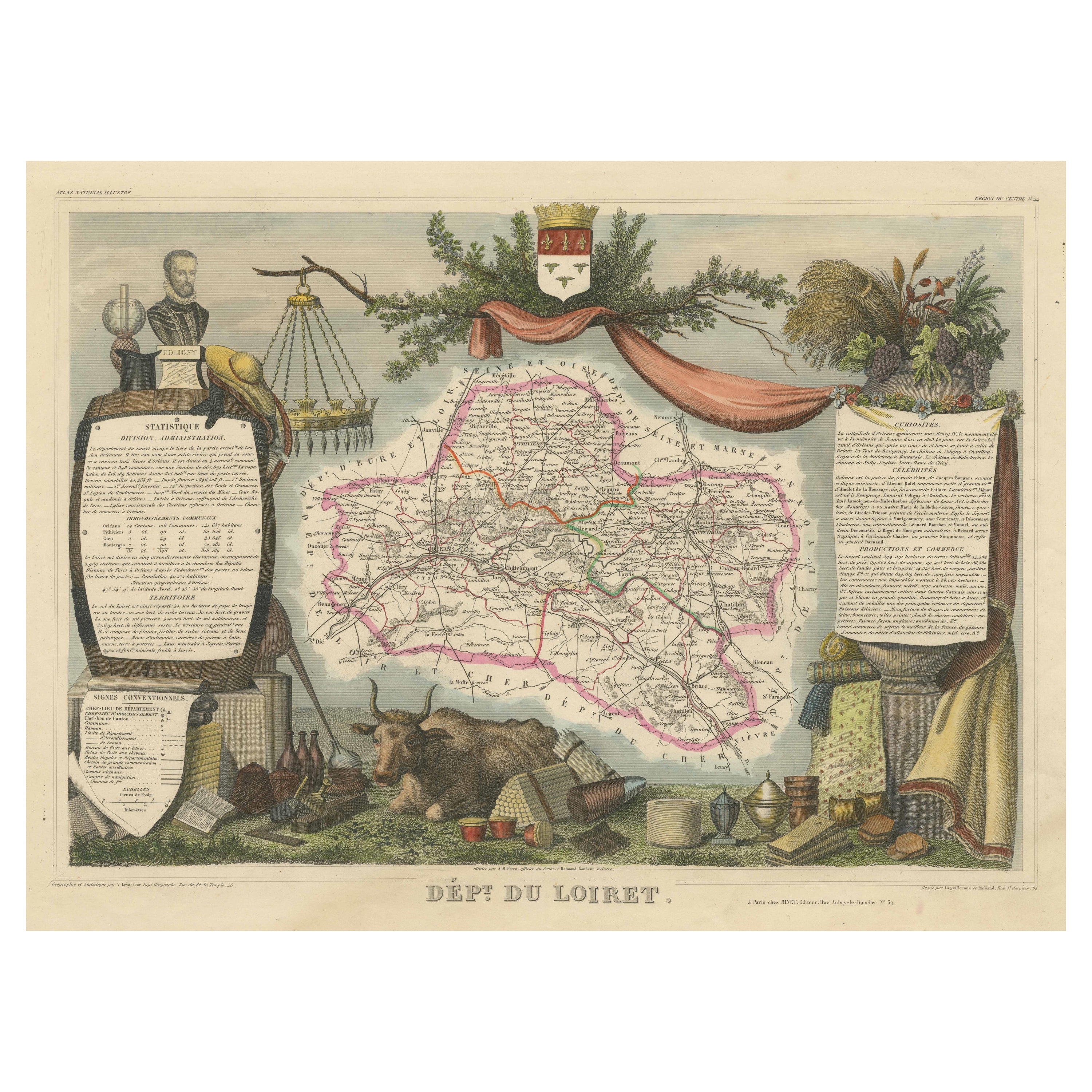
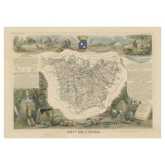
- Hand Colored Antique Map of the Department of Eure, FranceBy Victor LevasseurLocated in Langweer, NLAntique map titled 'Dépt. de l'Eure'. Map of the French department of Eure, France. This region of France is home to Giverny, where impressionist Claude Monet’s home and garden can...Category
Antique Mid-19th Century Maps
MaterialsPaper
- Framed 1820s Hand Colored Map of the United StatesLocated in Stamford, CTFramed 1820s hand colored map photos of North America and South America. As found framed in giltwood frame.Category
Antique 1820s American Spanish Colonial Maps
MaterialsGiltwood, Paper, Glass
- Framed 1839 Hand Colored Map of the United StatesLocated in Stamford, CTFramed hand colored map of the United States of America from 1839. Newly framed in a giltwood frame.Category
Antique 1830s American American Classical Maps
MaterialsGiltwood, Paper, Glass
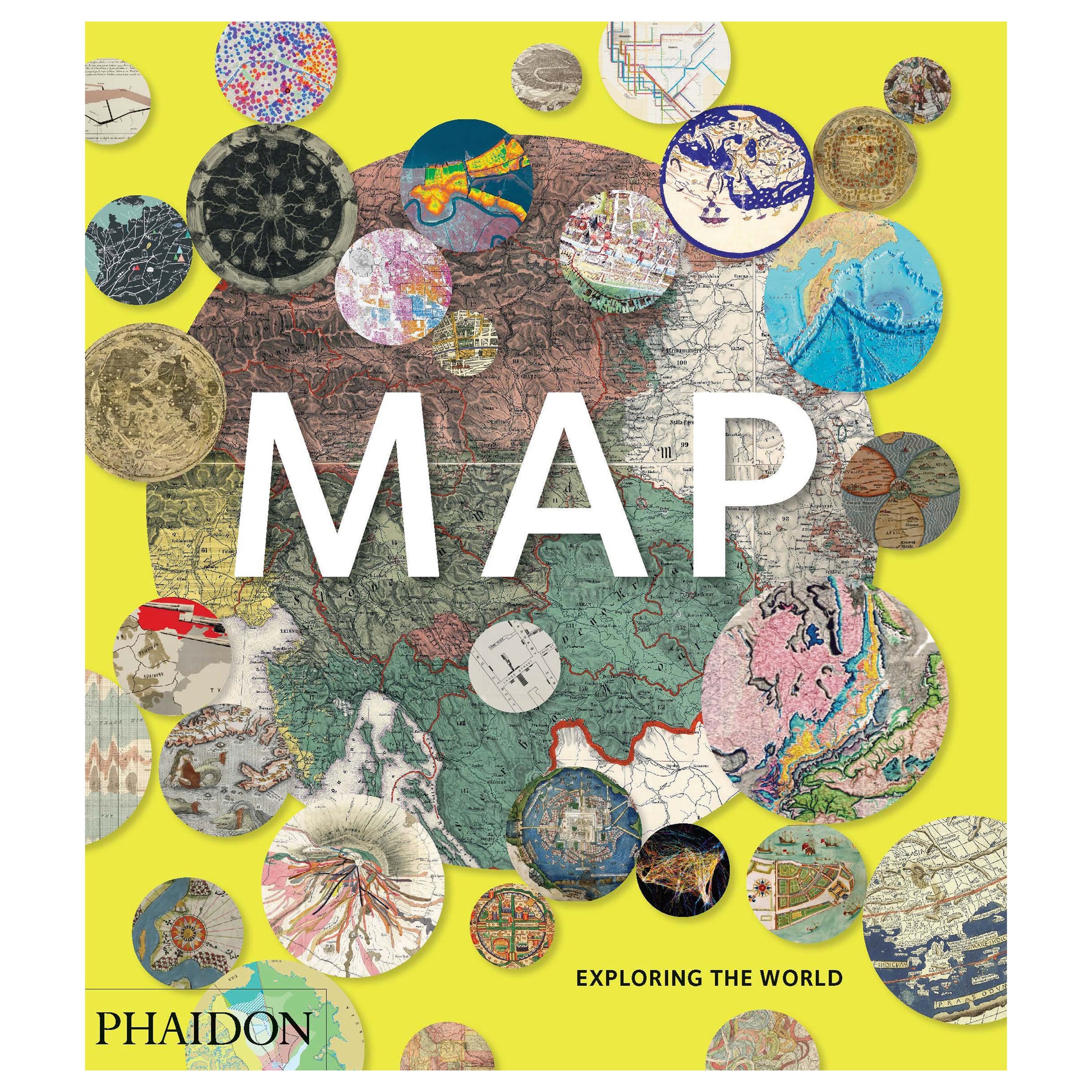
- Map, Exploring The WorldLocated in New York City, NY300 stunning maps from all periods and from all around the world, exploring and revealing what maps tell us about history and ourselves. Selected by an international panel of cartographers, academics, map dealers and collectors, the maps represent over 5,000 years of cartographic innovation drawing on a range of cultures and traditions. Comprehensive in scope, this book features all types of map from navigation and surveys to astronomical maps, satellite and digital maps, as well as works of art inspired by cartography. Unique curated sequence presents maps in thought-provoking juxtapositions for lively, stimulating reading. Features some of the most influential mapmakers and institutions in history, including Gerardus Mercator, Abraham Ortelius, Phyllis Pearson, Heinrich Berann...Category
21st Century and Contemporary Hong Kong Books
MaterialsPaper
 $60 / item


Recently Viewed
View AllMore Ways To Browse
Framed World Map
Hand Colored Italy Map
Antique Linen Map
Framed Maps Italy
Linen Map Italy
Map Of France
Large Maps
Large Map
Antique German Collectibles
Original World Map
World Atlas
Map Of Itsly
Antique World Map
World Map Antique
World Antique Map
Antique Map World
Antique Maps World
Antique World Map World Maps