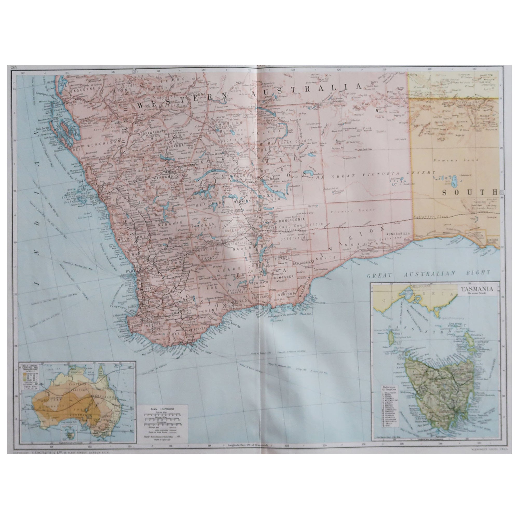
Large Original Vintage Map of Western Australia, circa 1920
View Similar Items


Want more images or videos?
Request additional images or videos from the seller
1 of 5
Large Original Vintage Map of Western Australia, circa 1920
About the Item
- Dimensions:Height: 25 in (63.5 cm)Width: 19.5 in (49.53 cm)Depth: 0.07 in (1.78 mm)
- Style:Edwardian (Of the Period)
- Materials and Techniques:Paper,Other
- Place of Origin:
- Period:
- Date of Manufacture:1920
- Condition:Wear consistent with age and use.
- Seller Location:St Annes, GB
- Reference Number:1stDibs: LU1836323806652
About the Seller
4.9
Platinum Seller
These expertly vetted sellers are 1stDibs' most experienced sellers and are rated highest by our customers.
1stDibs seller since 2016
2,535 sales on 1stDibs
Associations
International Confederation of Art and Antique Dealers' Associations
More From This SellerView All
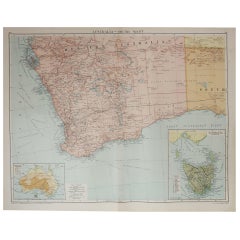
- Large Original Vintage Map of Western Australia, circa 1920Located in St Annes, LancashireGreat map of Western Australia with a vignette of Tasmania. Original color. Good condition Published by Alexander Gross Unframed.Category
Vintage 1920s English Edwardian Maps
MaterialsPaper
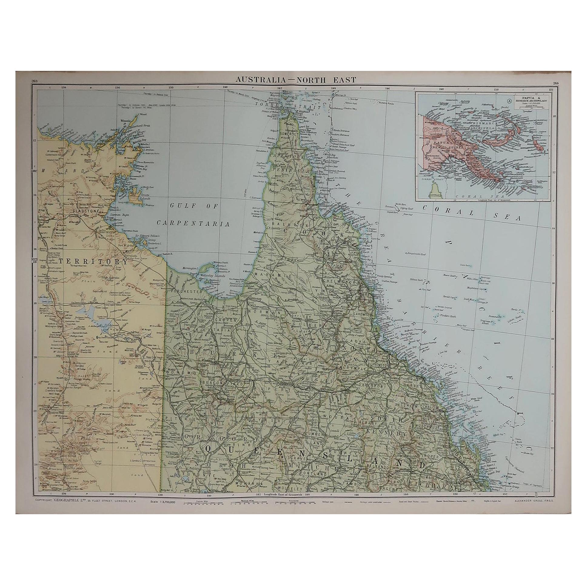
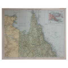
- Large Original Vintage Map of Queensland, Australia, circa 1920Located in St Annes, LancashireGreat map of Queensland Original color. Good condition Published by Alexander Gross Unframed.Category
Vintage 1920s English Edwardian Maps
MaterialsPaper
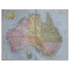
- Large Original Vintage Map of Australia, circa 1920Located in St Annes, LancashireGreat map of Australia Original color. Good condition Published by Alexander Gross Unframed.Category
Vintage 1920s English Maps
MaterialsPaper
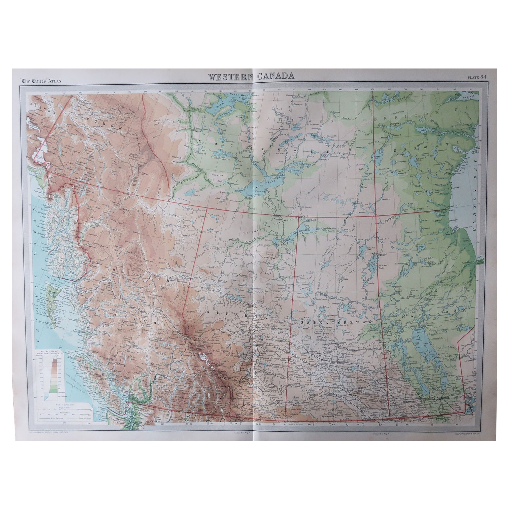
- Large Original Vintage Map of Western Canada, circa 1920Located in St Annes, LancashireGreat map of Western Canada Unframed Original color By John Bartholomew and Co. Edinburgh Geographical Institute Published, circa 1920 Fr...Category
Vintage 1920s British Maps
MaterialsPaper
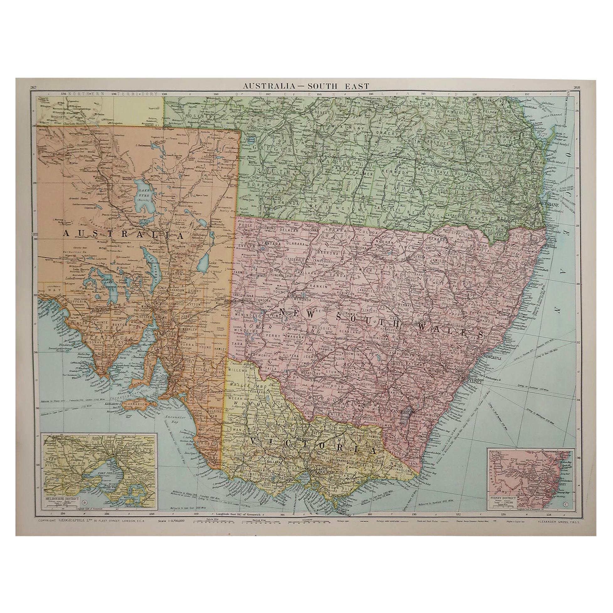
- Large Original Vintage Map of New South Wales, Australia, circa 1920Located in St Annes, LancashireGreat map of New South Wales Original color. Good condition Published by Alexander Gross Unframed.Category
Vintage 1920s English Edwardian Maps
MaterialsPaper
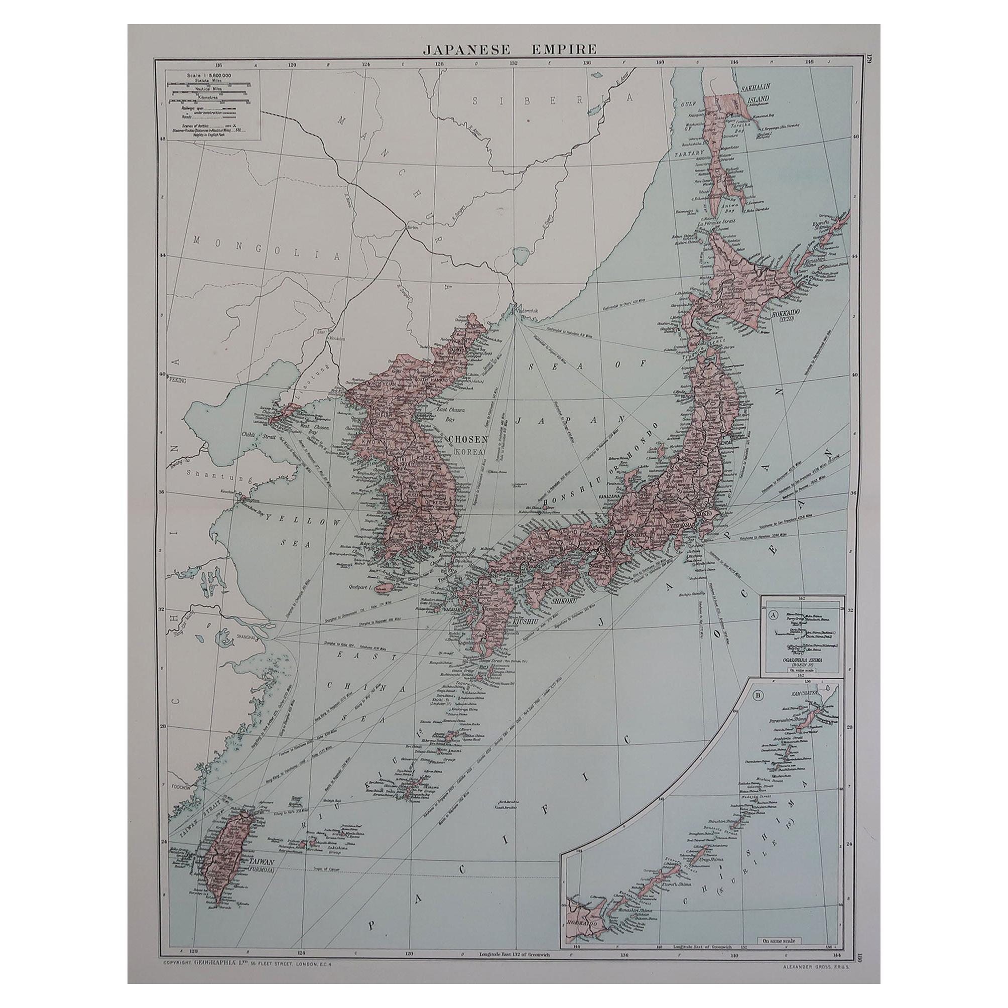
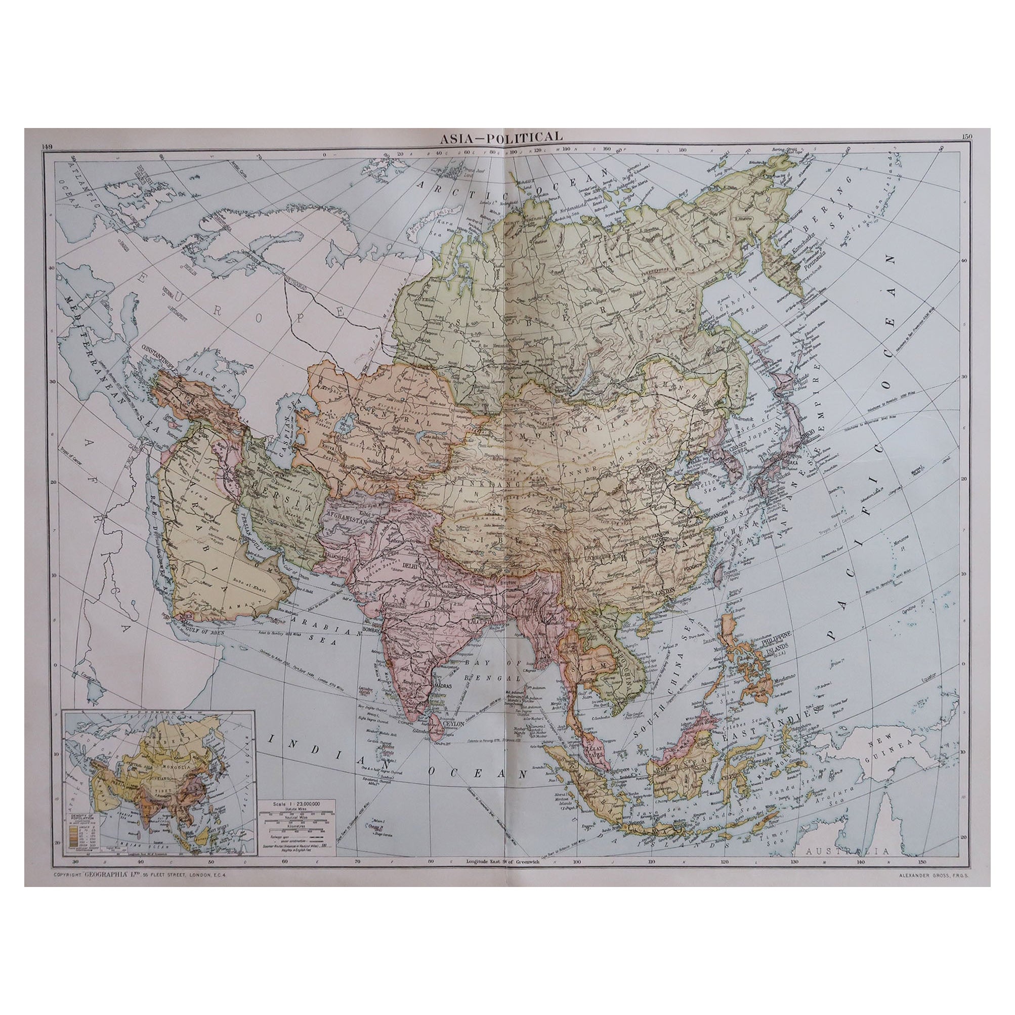
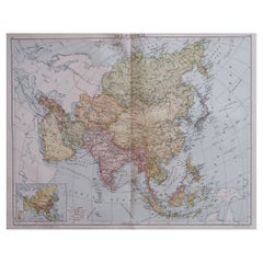
- Large Original Vintage Map of Asia, circa 1920Located in St Annes, LancashireGreat map of Asia Original color. Good condition Published by Alexander Gross Unframed.Category
Vintage 1920s English Edwardian Maps
MaterialsPaper


You May Also Like
- Antique Map of South East Asia, Australia and the Indian Ocean, 1726By F. ValentijnLocated in Langweer, NLAntique map titled 'Tabula Indiae Orientalis'. Beautiful detailed map of Australia, Southeast Asia and the Indian Ocean. The map features a fine depiction of the outlines of the western two-thirds of Australia, based on the discoveries of explorers working for the Dutch East India Company (the VOC). These include Willem Jansz's discoveries in the Gulf of Carpentaria in 1606; the encounters of Dirk...Category
Antique Mid-18th Century Dutch Maps
MaterialsPaper
 $5,478 Sale Price30% OffFree Shipping
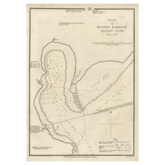
 - Map of Winter Harbour on Melville Island, Australia by Parry's Expedition, 1821Located in Langweer, NLAntique print titled 'Survey of Winter Harbour Melville Island, June 1820'. Chart of the bay or harbor on Melville Island where William Parry's expedit...Category
Antique 1820s Maps
MaterialsPaper
 $226 Sale Price20% Off
 - Antique Map of Asia by Dufour, circa 1834Located in Langweer, NLAntique map titled 'Asie par A.H. Dufour'. Uncommon map of Asia. Published by or after A.H. Dufour, circa 1834. Source unknown, to be determined.Category
Antique Mid-19th Century Maps
MaterialsPaper
- Antique Map of Chili by Montanus, circa 1671By Arnoldus MontanusLocated in Langweer, NLAntique map titled 'Chili'. A very attractive map covering the known coastal region of Chile. The Andes are shown prominently, with two live volcanoes in the vicinity of Villarrica. ...Category
Antique Mid-17th Century Maps
MaterialsPaper
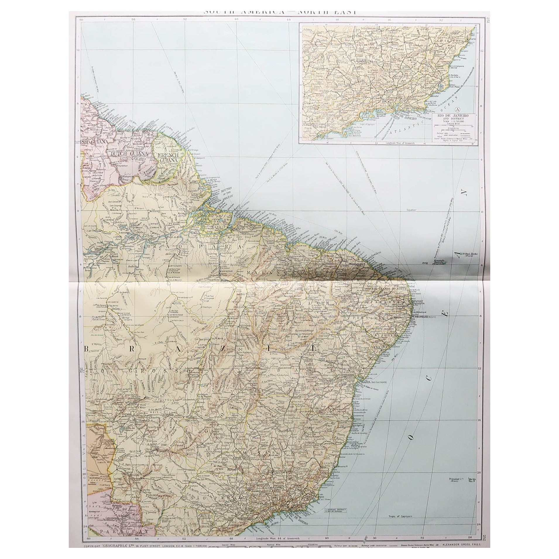
- Antique Map of Paraguay by A. Montanus, circa 1671By Arnoldus MontanusLocated in Langweer, NLAntique map titled 'Paraquaria Vulgo Paraguay Cum adjacentibus'. Antique map extending from Rio de Janiero to the Rio de la Plata basin. The map include...Category
Antique Mid-17th Century Maps
MaterialsPaper
 $521 Sale Price20% Off
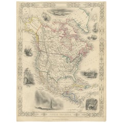
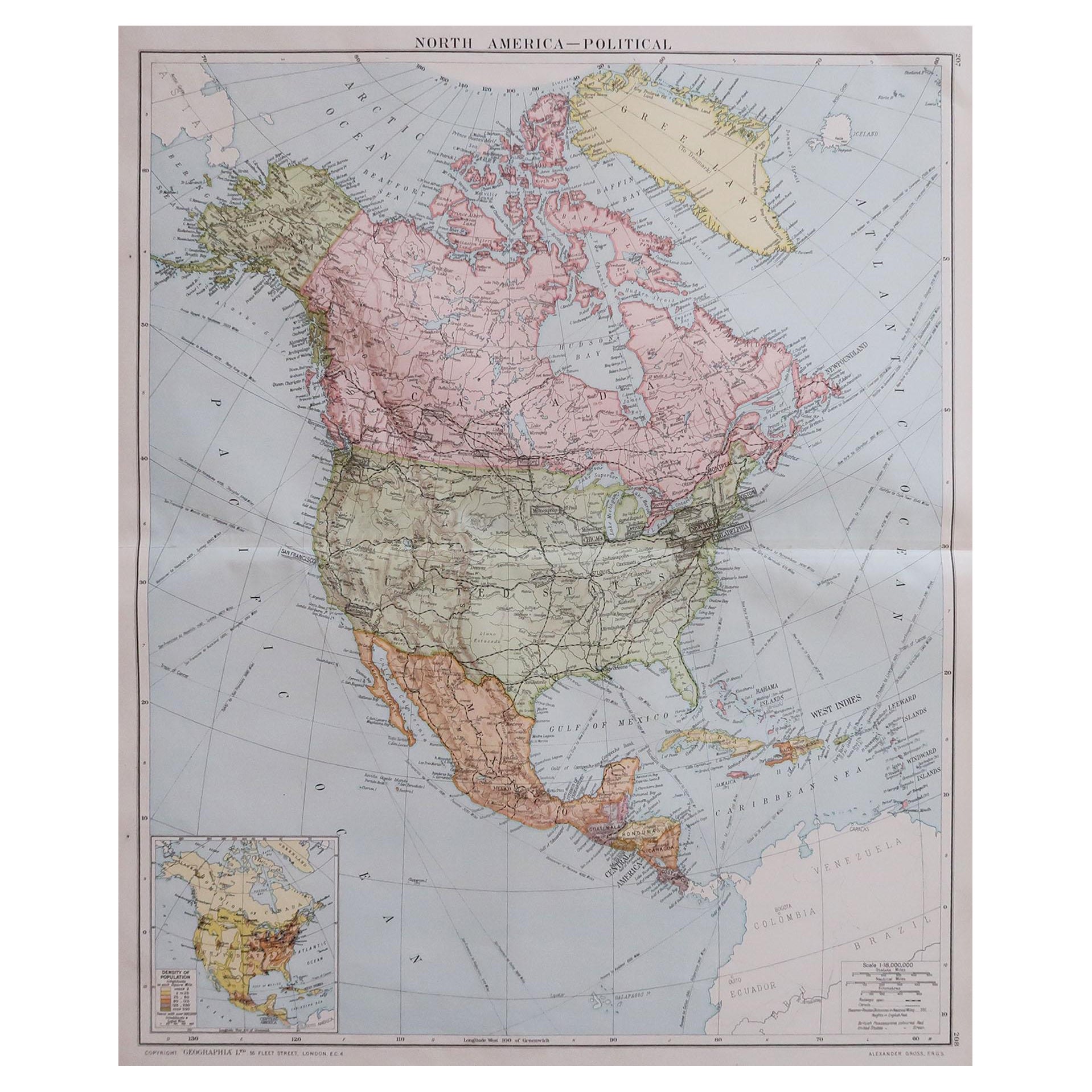
 - Decorative Antique Map of North America, circa 1860By George VirtueLocated in Langweer, NLSteel engraving of North America with original outline color. With decorative vignettes including White Bears, Capt. Parry Wintering in the Artic Regions, Whale Fishery...Category
Antique Mid-19th Century British Maps
MaterialsPaper