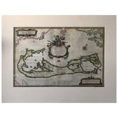
Map of Bermuda. Guiljelm Blaeuw, Mappa Aestivarum Insularum, Amsterdam 1640
View Similar Items


1 of 7
Map of Bermuda. Guiljelm Blaeuw, Mappa Aestivarum Insularum, Amsterdam 1640
About the Item
- Dimensions:Height: 137.8 in (350 cm)Width: 208.67 in (530 cm)Depth: 0.08 in (2 mm)
- Materials and Techniques:
- Place of Origin:
- Period:1640-1649
- Date of Manufacture:1640
- Condition:Wear consistent with age and use. Minor losses. Minor structural damages. Please read the whole description and look at all the pictures.
- Seller Location:Drottningholm, SE
- Reference Number:1stDibs: LU2692310189561
You May Also Like
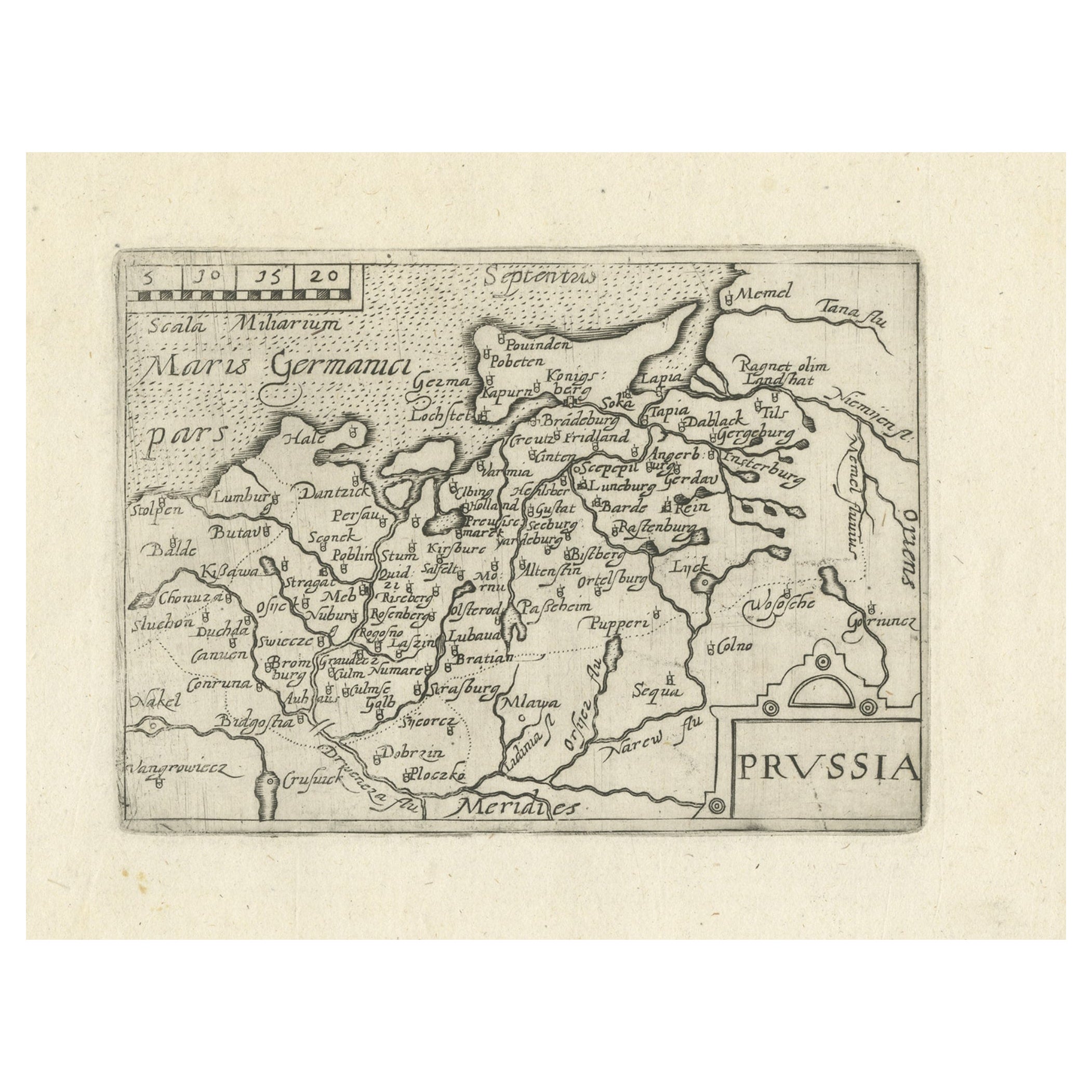
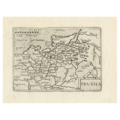
- Extremele Rare, Original Miniature Map of Prussia, ca.1640Located in Langweer, NLAntique map titled 'Prussia'. Extremele rare, original miniature map of Prussia, a historically prominent German state that originated in 1525 with a du...Category
Antique 1640s Maps
MaterialsPaper
 $768 Sale Price20% Off
 - Antique Map of the Region of Blois by Janssonius, 'circa 1640'By Johannes JanssoniusLocated in Langweer, NLAntique map titled 'Description du Blaisois'. Old map of the region of Blois, France. It shows the city of Blois, Amboise, the Loire River and more. Published by J. Janssonius, circa...Category
Antique Mid-17th Century Maps
MaterialsPaper
- Antique Map of the Region of Bourbonnais by Janssonius, circa 1640Located in Langweer, NLAntique map titled 'Bourbonois - Borbonium Ducatus'. Old map of the former region of Bourbonnais, France. It includes the cities of Bourbon, Moulins, Charenton, Brulles, Varennes and...Category
Antique Mid-17th Century Maps
MaterialsPaper
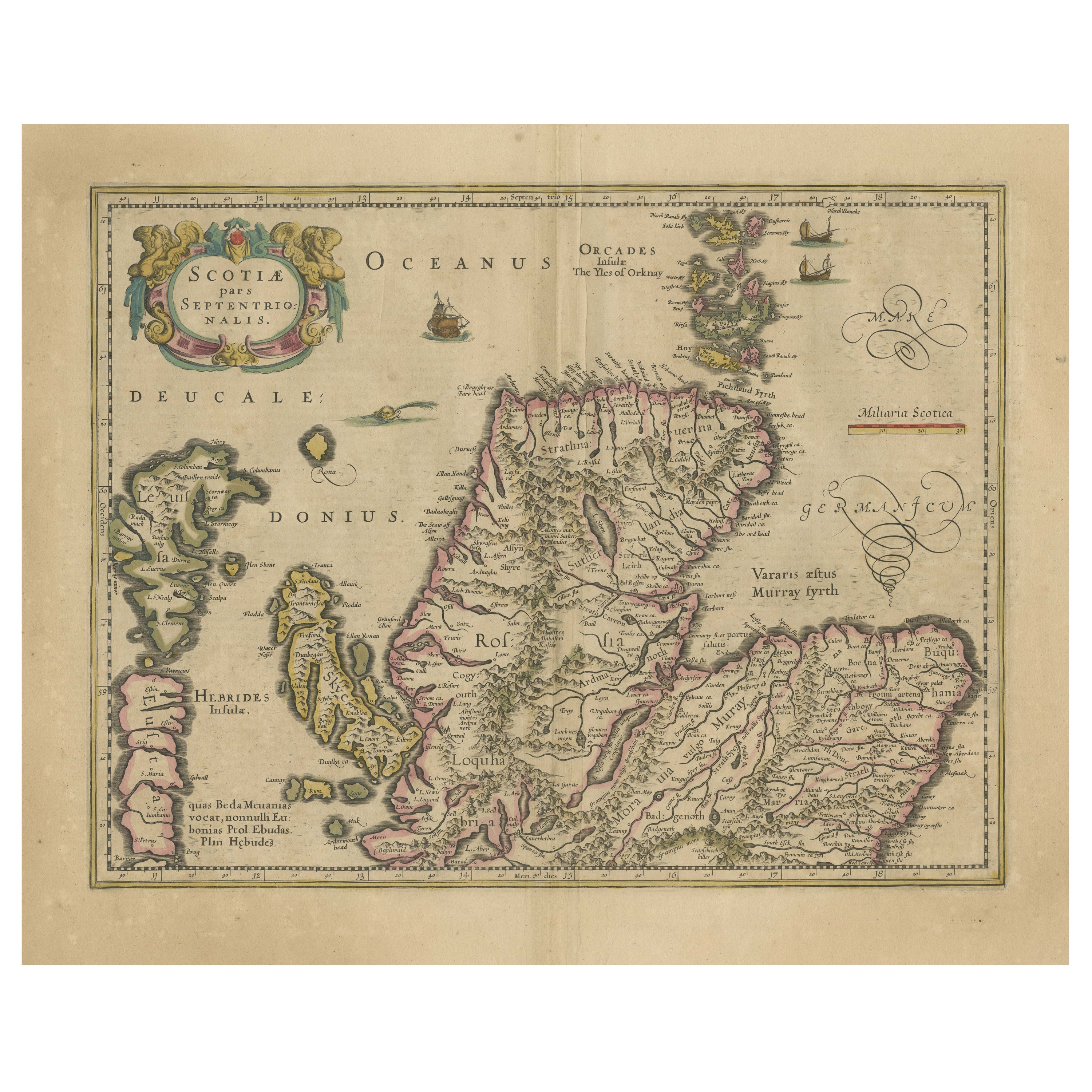
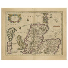
- Original Antique Map of the Northern Part of Scotland, circa 1640Located in Langweer, NLThe antique map, titled 'Scotiae pars septentrionalis,' depicts the northern part of Scotland. Crafted by Hondius around 1640, this map is a historical treasure showcasing the geogra...Category
Antique Mid-17th Century Maps
MaterialsPaper
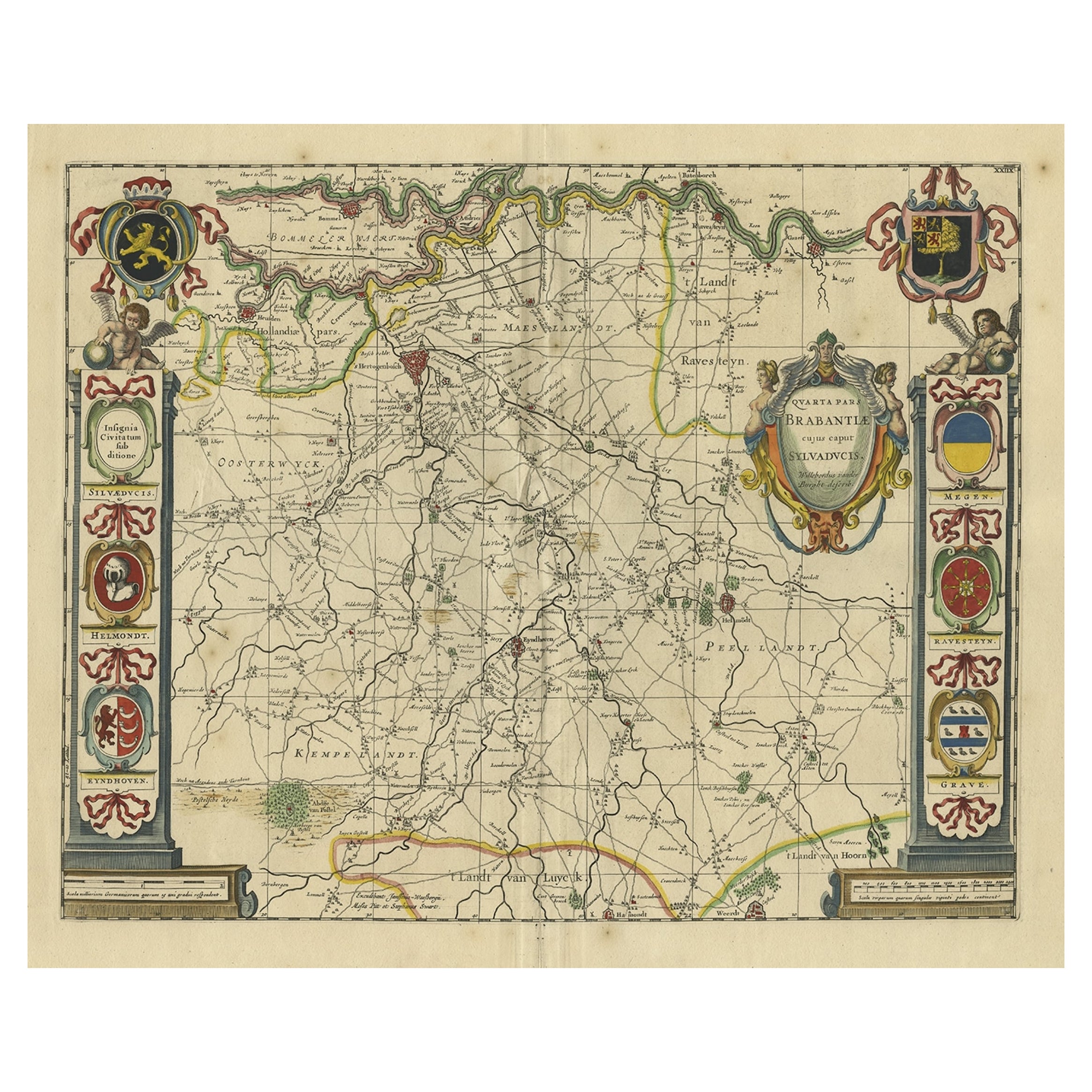
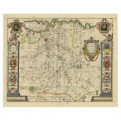
- Decorative Antique Map of the Dutch Province of Noord-Brabant, ca.1640Located in Langweer, NLAntique map titled 'Quarta pars Brabantiae cujus Sylvaducis Willebordus vanderBurgt desrib'. Highly detailed original antique map of the province of Noord-Brabant, the Netherlands. It shows the cities of 's-Hertogenbosch, Eindhoven and surroundings. Includes a decorative cartouche, 6 coats of arms, topped by winged cherubs and two larger coats of arms...Category
Antique 1640s Maps
MaterialsPaper
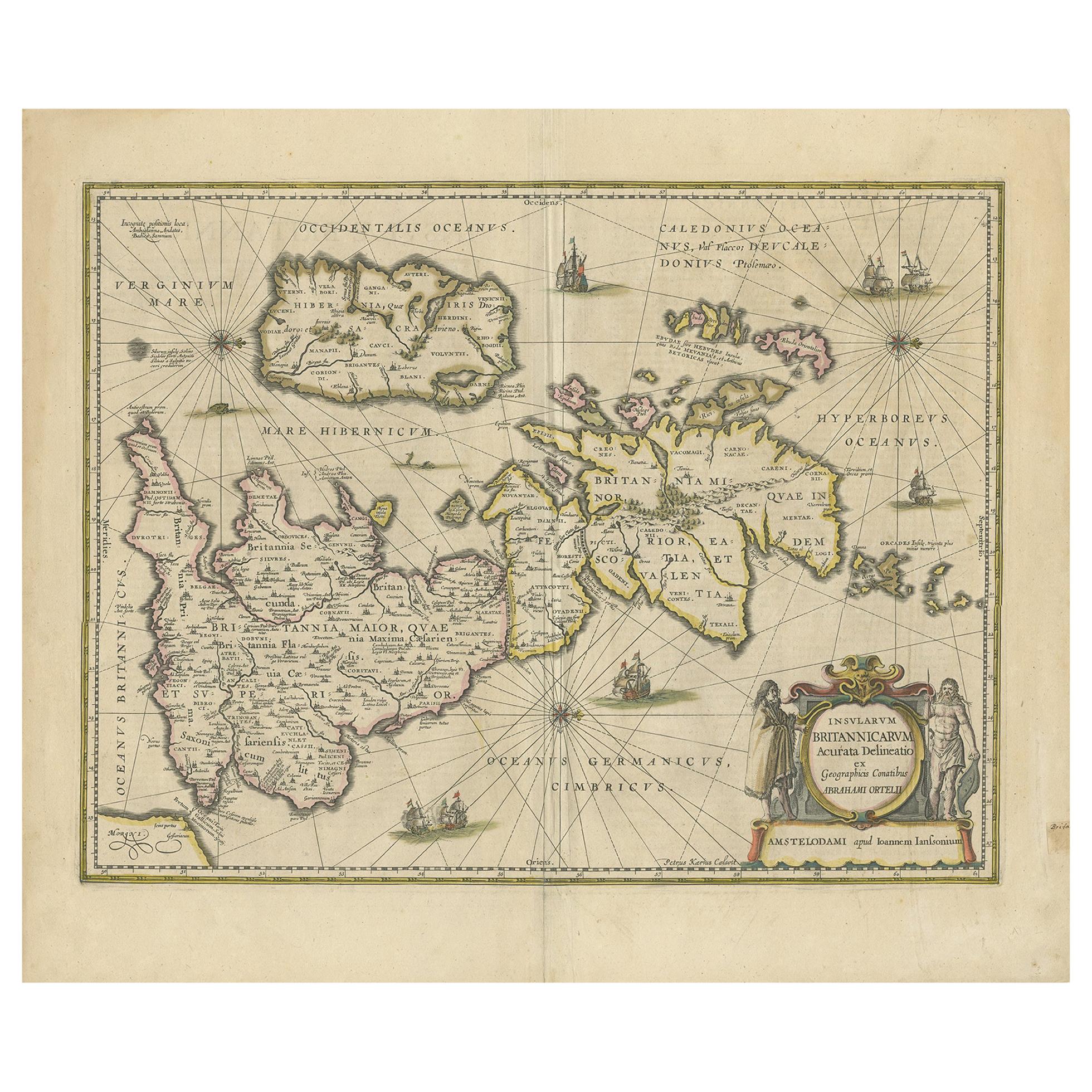
- Antique Map of the Ancient British Isles by Janssonius 'circa 1640'Located in Langweer, NLAntique map titled 'Insularum Britannicarum Acurata Delineatio'. Original antique map of the ancient British Isles. England and Wales are labelled as B...Category
Antique Mid-17th Century Maps
MaterialsPaper


Recently Viewed
View AllMore Ways To Browse
Large Antique Compass
Fantastical Maps
Hand Painted Antique Map
Large Map Of The Netherlands
Bermuda Furniture
Old Antique Compass
Antique Bermuda Furniture
Bermuda Map
Antique Map Of Bermuda
Antique Whimsical
Copper Collectables
Antique Atlas Map
Provence Antiques
Antique Maps Prints
Antique Map Prints
Antique Map Print
Antique Prints Maps
Antique Prints And Maps